Elevation map of Cerocahui, Chih., Mexico
Location: Mexico > Chihuahua > Urique >
Longitude: -108.11966
Latitude: 27.3198529
Elevation: 2036m / 6680feet
Barometric Pressure: 79KPa
Elevation Map:
Satellite Map:
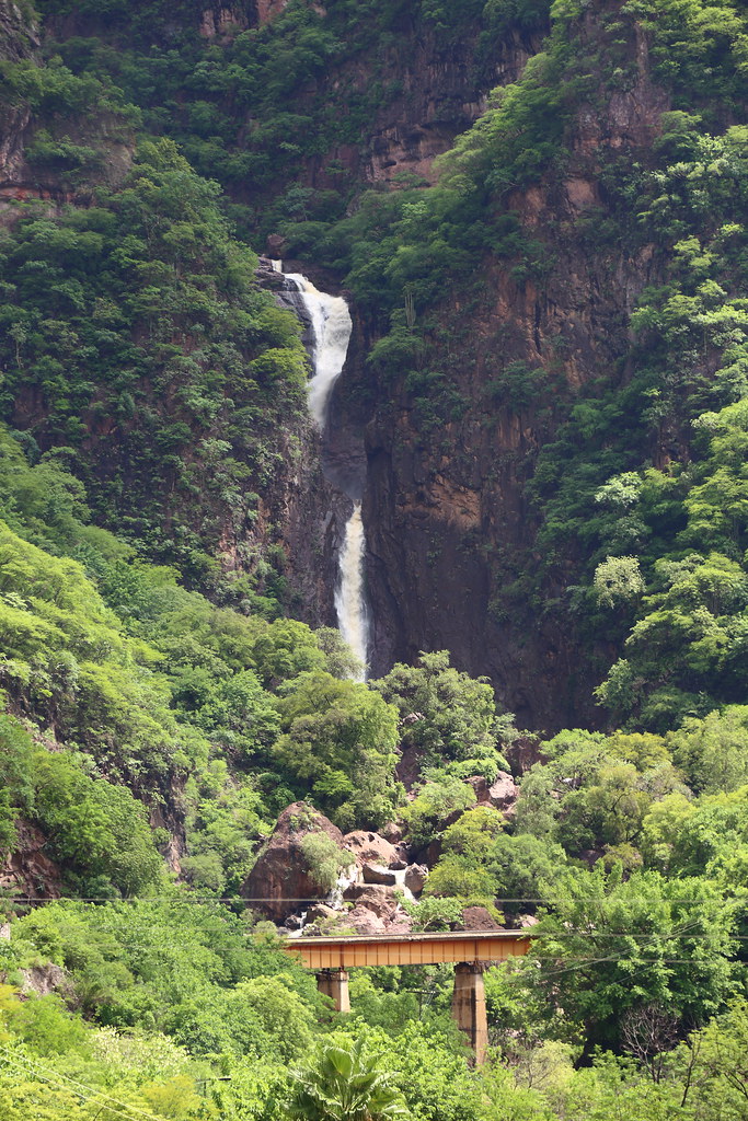
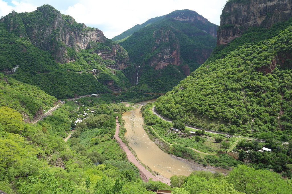
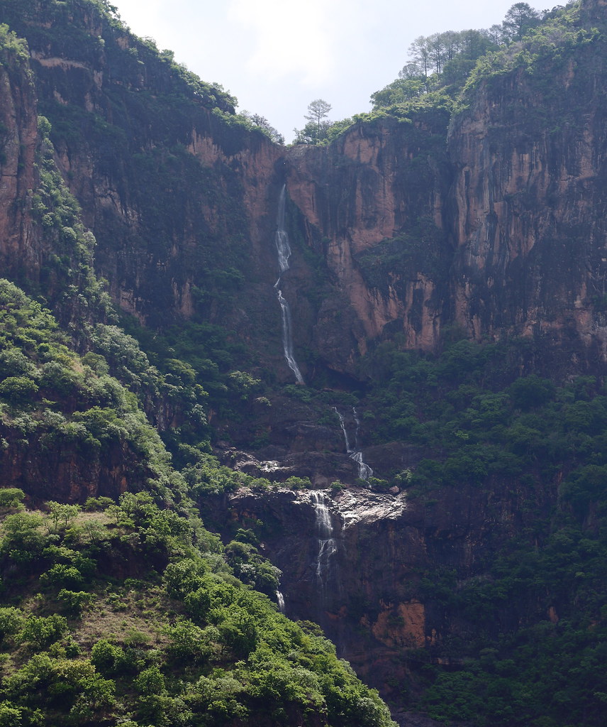
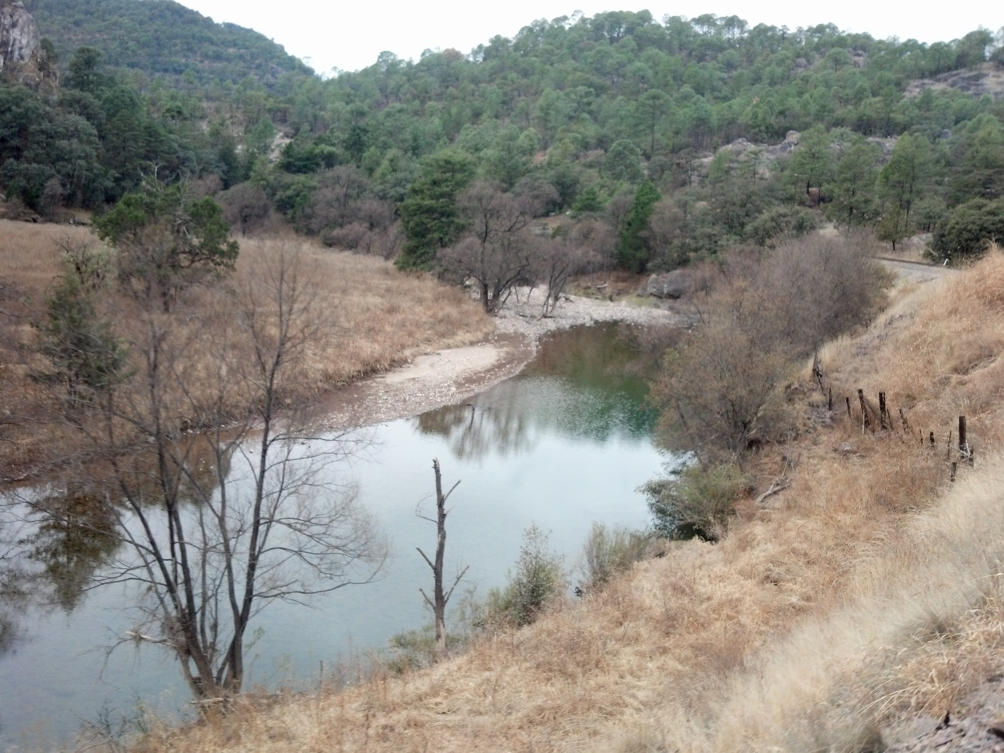
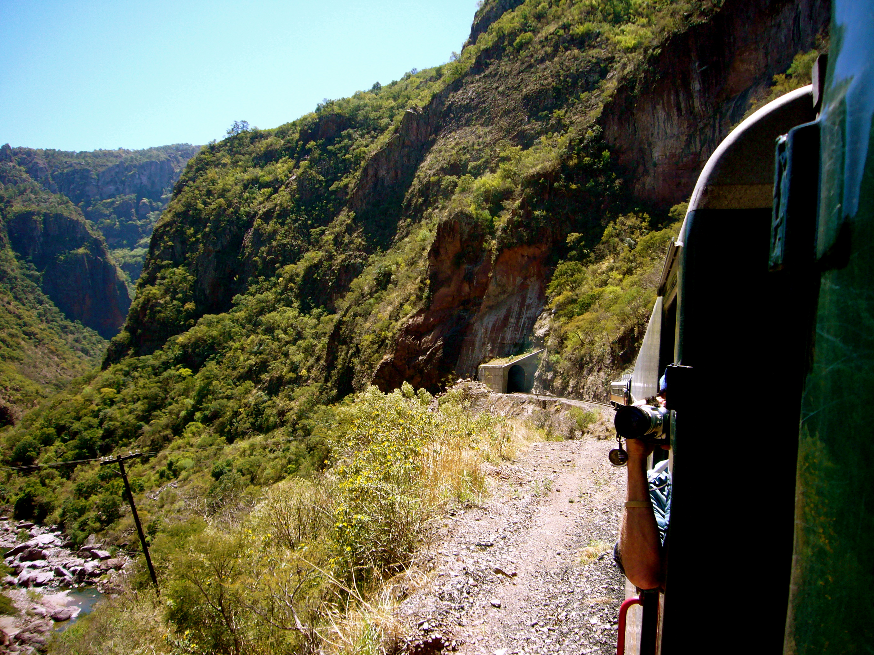
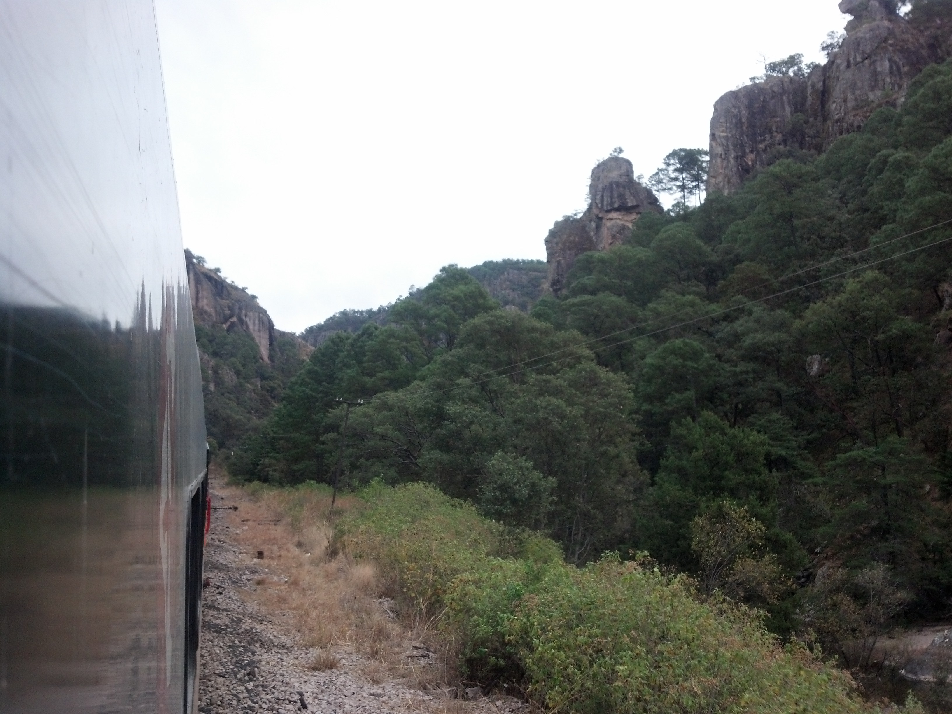
Related Photos:
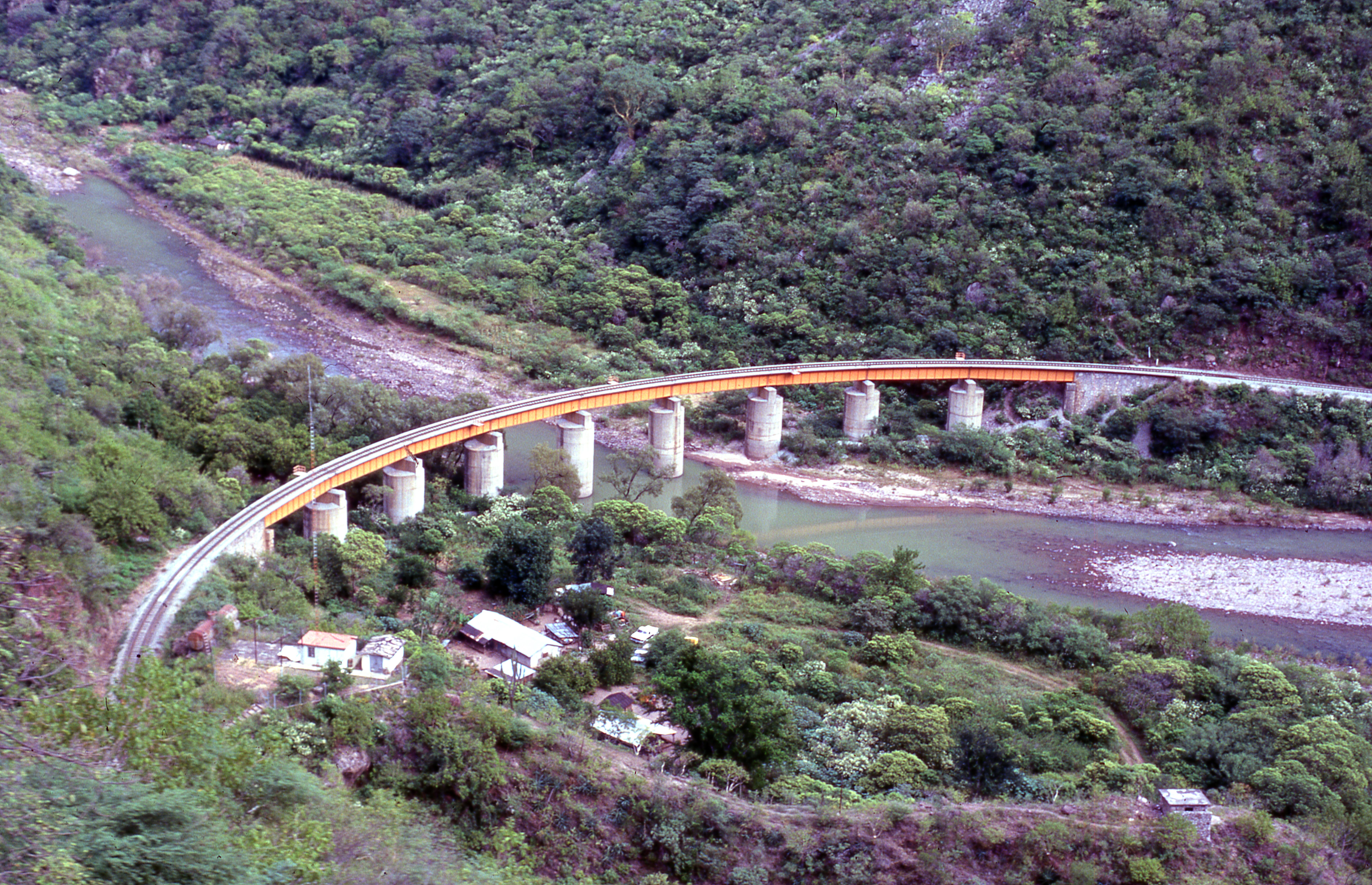
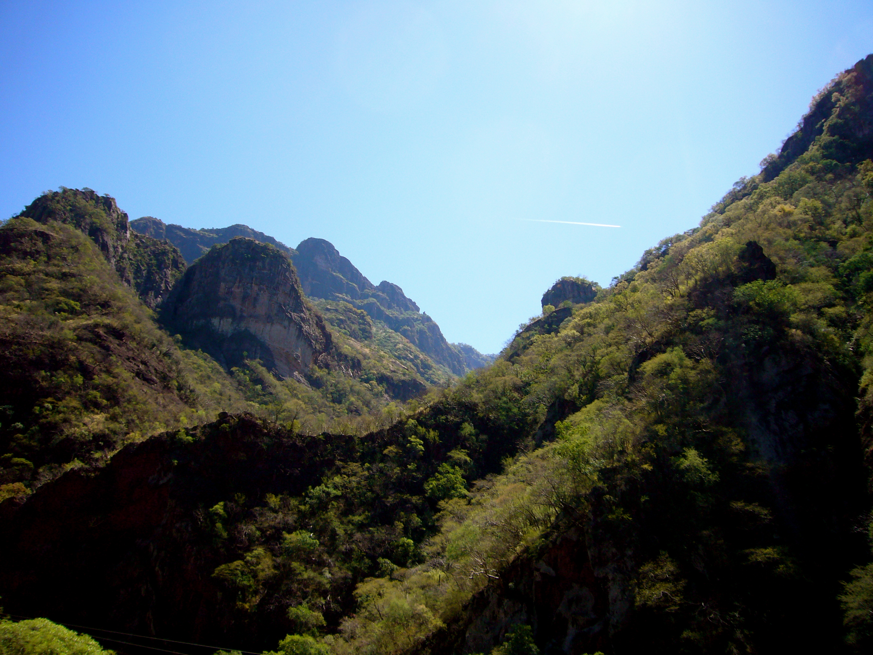
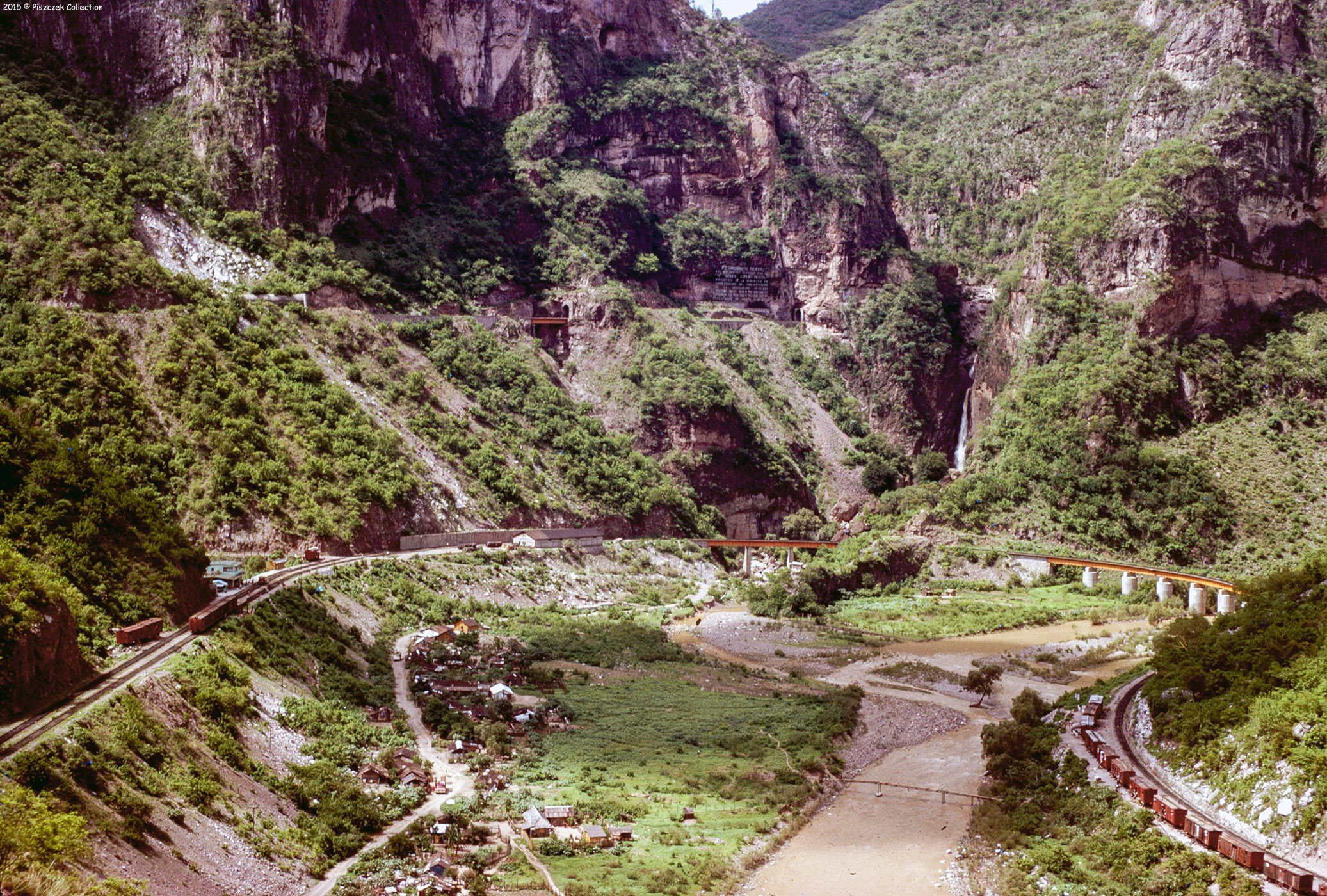
Santa Barbara bridge,Temoris, Mexico 1
P1030378.jpg
P1030367.jpg
P1030373.jpg
P1030377.jpg

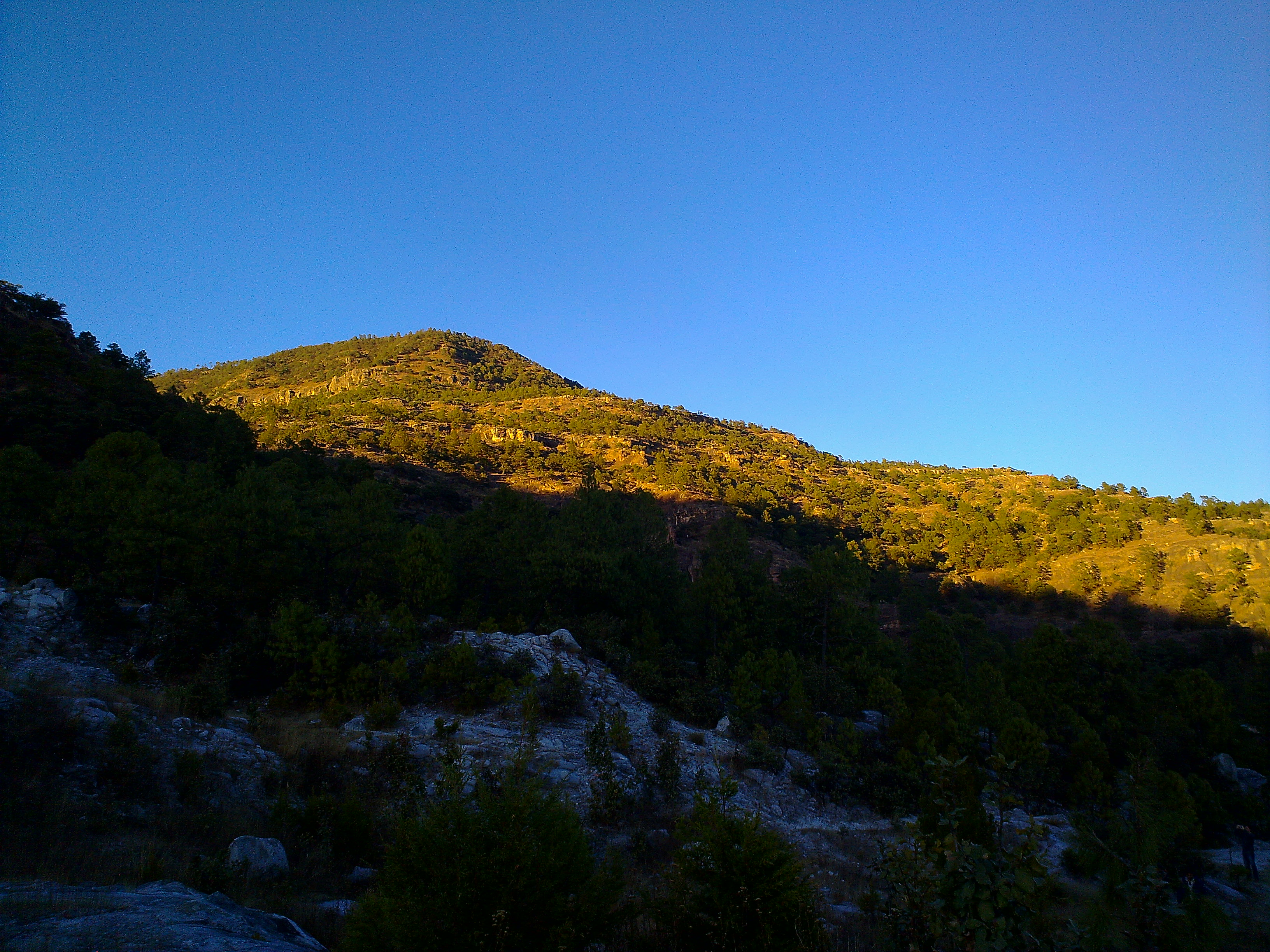
Dusk in Cerocahui
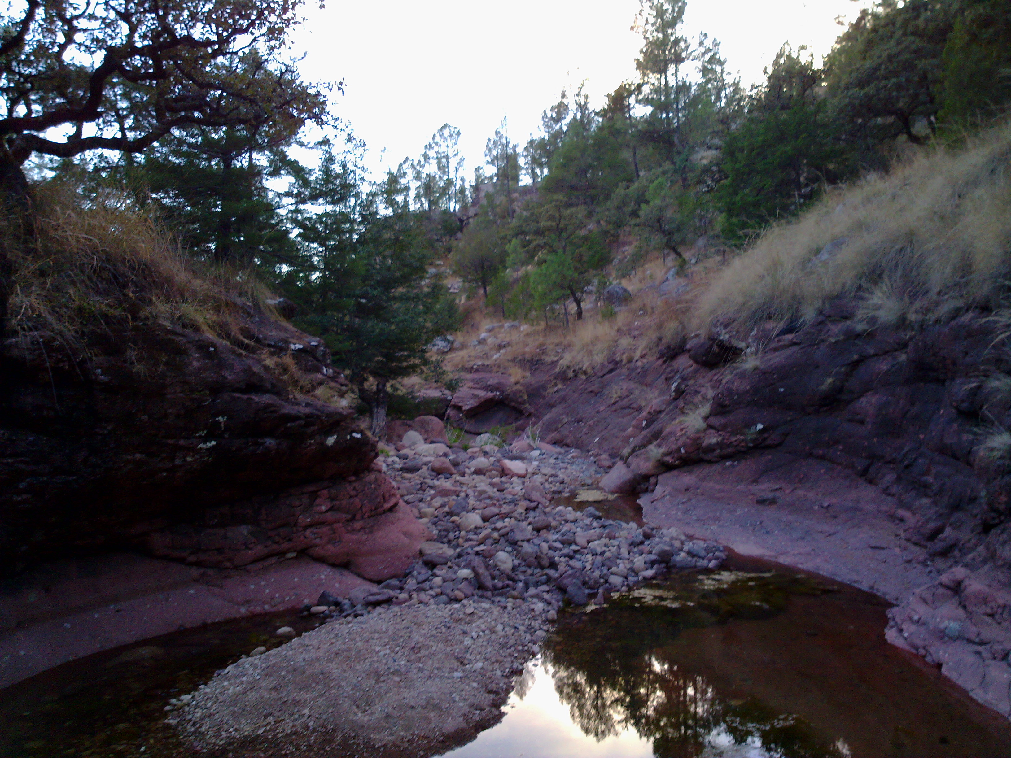
At the spring

El Chepe
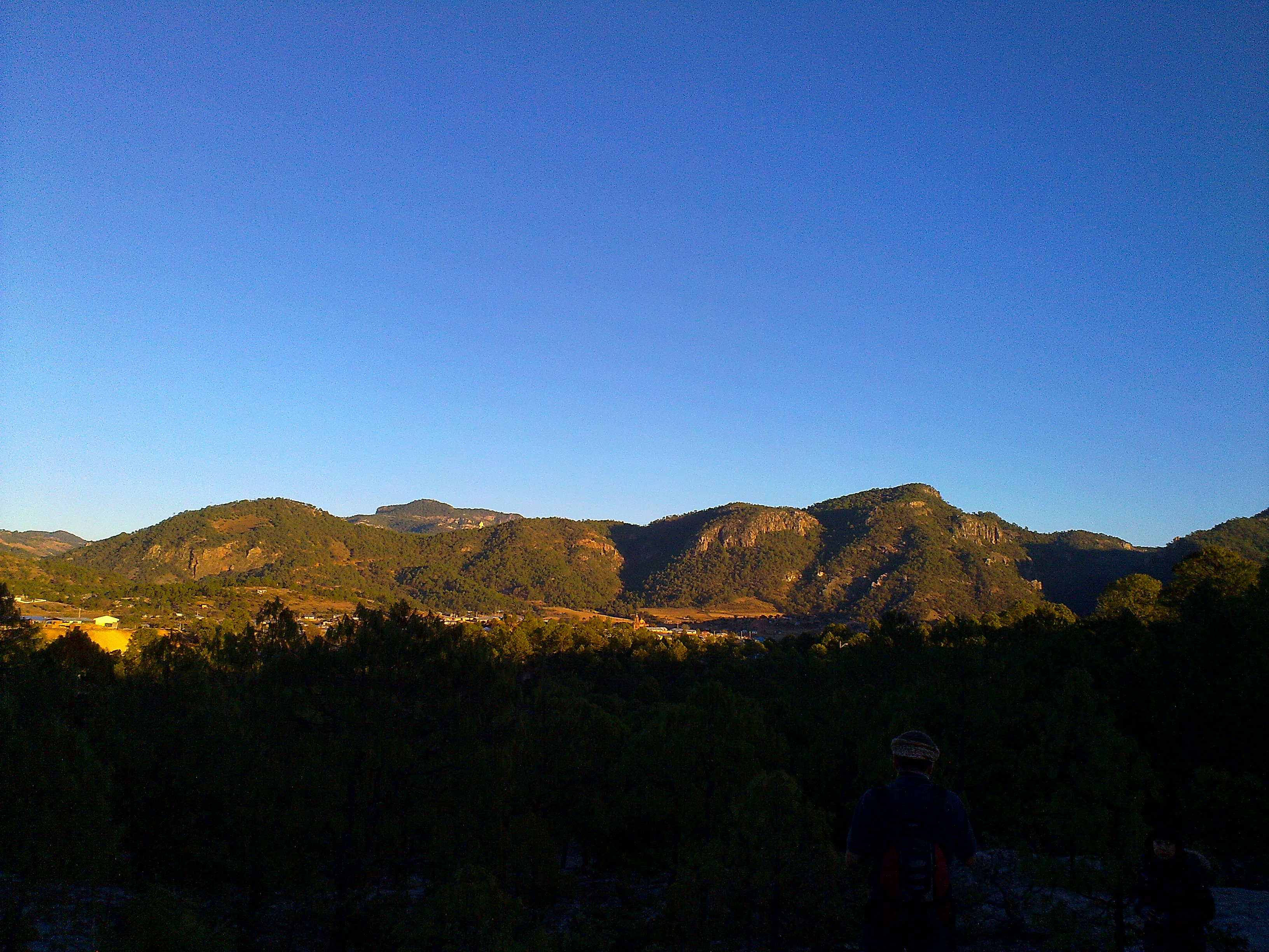
Sunset over Cerocahui
Sunset over Cerocahui
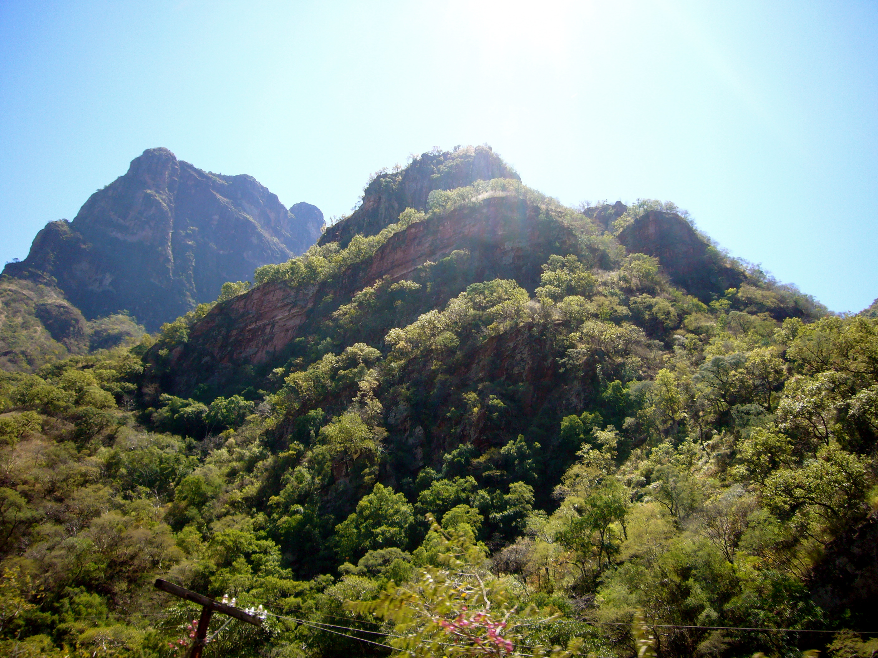
FCP Copper Canyon Trip Mexico 1970

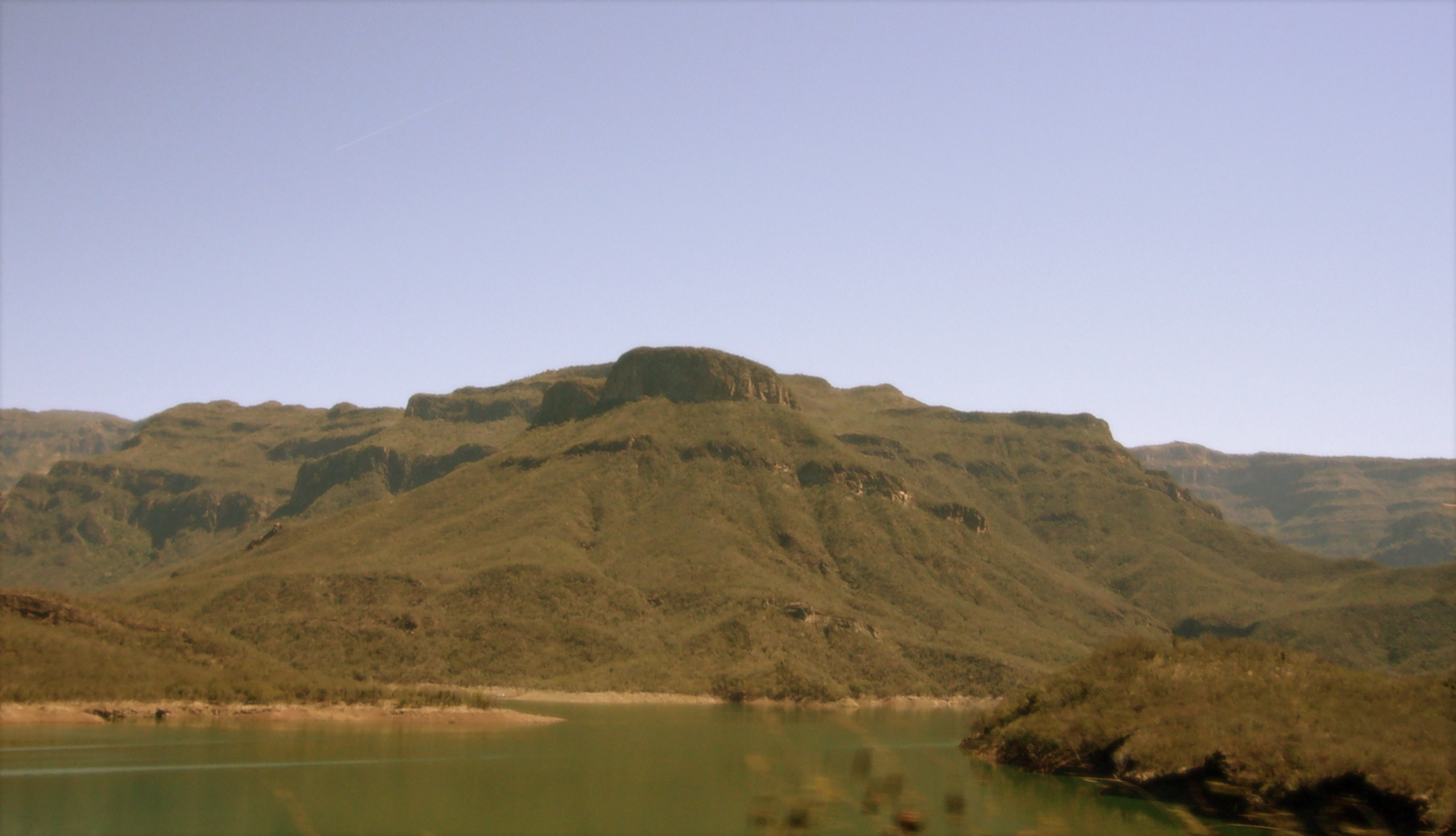
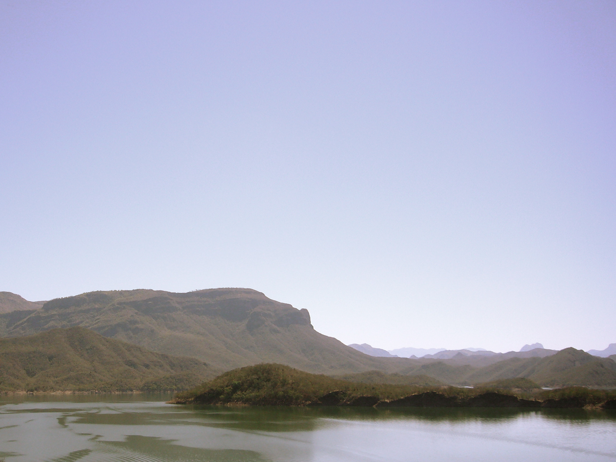
El Chepe, Copper Canyon, Mexico
El Chepe
El Chepe
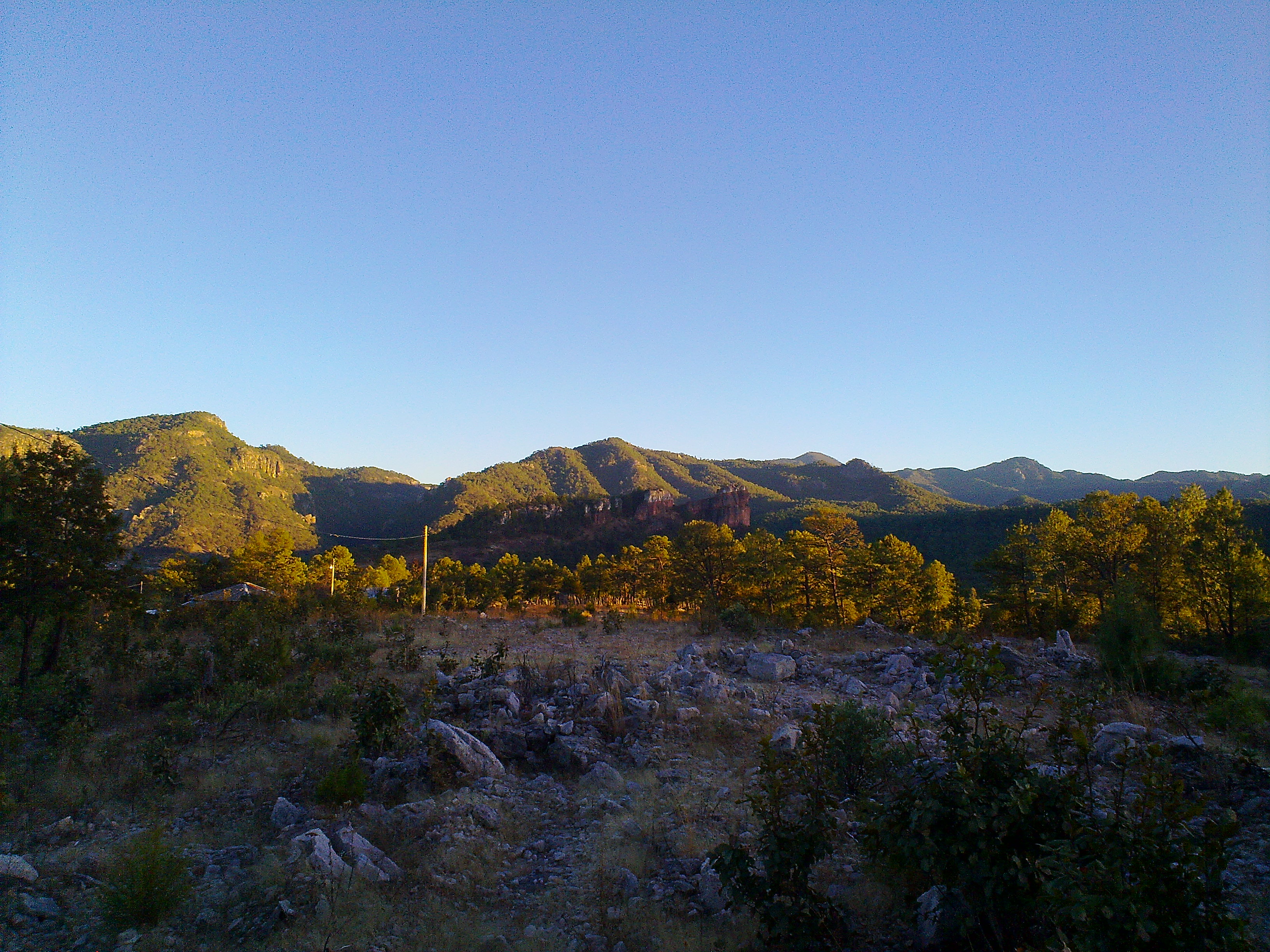
Sunset over Cerocahui

Dusk in Cerocahui
El Chepe

El Chepe, Copper Canyon, Mexico
El Chepe, Copper Canyon, Mexico

El Chepe, Copper Canyon, Mexico
P1030405.jpg
El Chepe, Copper Canyon, Mexico

El Chepe, Copper Canyon, Mexico
Topographic Map of Cerocahui, Chih., Mexico
Find elevation by address:

Places near Cerocahui, Chih., Mexico:
Cerocahui
Bahuichivo
Témoris
Guazapares Municipality
Urique
Urique
Barranca Del Cobre
El Fuerte
Batopilas
Batopilas
Cascada Cusárare
Creel
Bocoyna Municipality
Panalachi
Guachochi
Recent Searches:
- Elevation of Beall Road, Beall Rd, Florida, USA
- Elevation of Leguwa, Nepal
- Elevation of County Rd, Enterprise, AL, USA
- Elevation of Kolchuginsky District, Vladimir Oblast, Russia
- Elevation of Shustino, Vladimir Oblast, Russia
- Elevation of Lampiasi St, Sarasota, FL, USA
- Elevation of Elwyn Dr, Roanoke Rapids, NC, USA
- Elevation of Congressional Dr, Stevensville, MD, USA
- Elevation of Bellview Rd, McLean, VA, USA
- Elevation of Stage Island Rd, Chatham, MA, USA