Elevation of Guazapares Municipality, Chihuahua, Mexico
Location: Mexico > Chihuahua >
Longitude: -108.27962
Latitude: 27.276901
Elevation: 1447m / 4747feet
Barometric Pressure: 85KPa
Elevation Map:
Satellite Map:
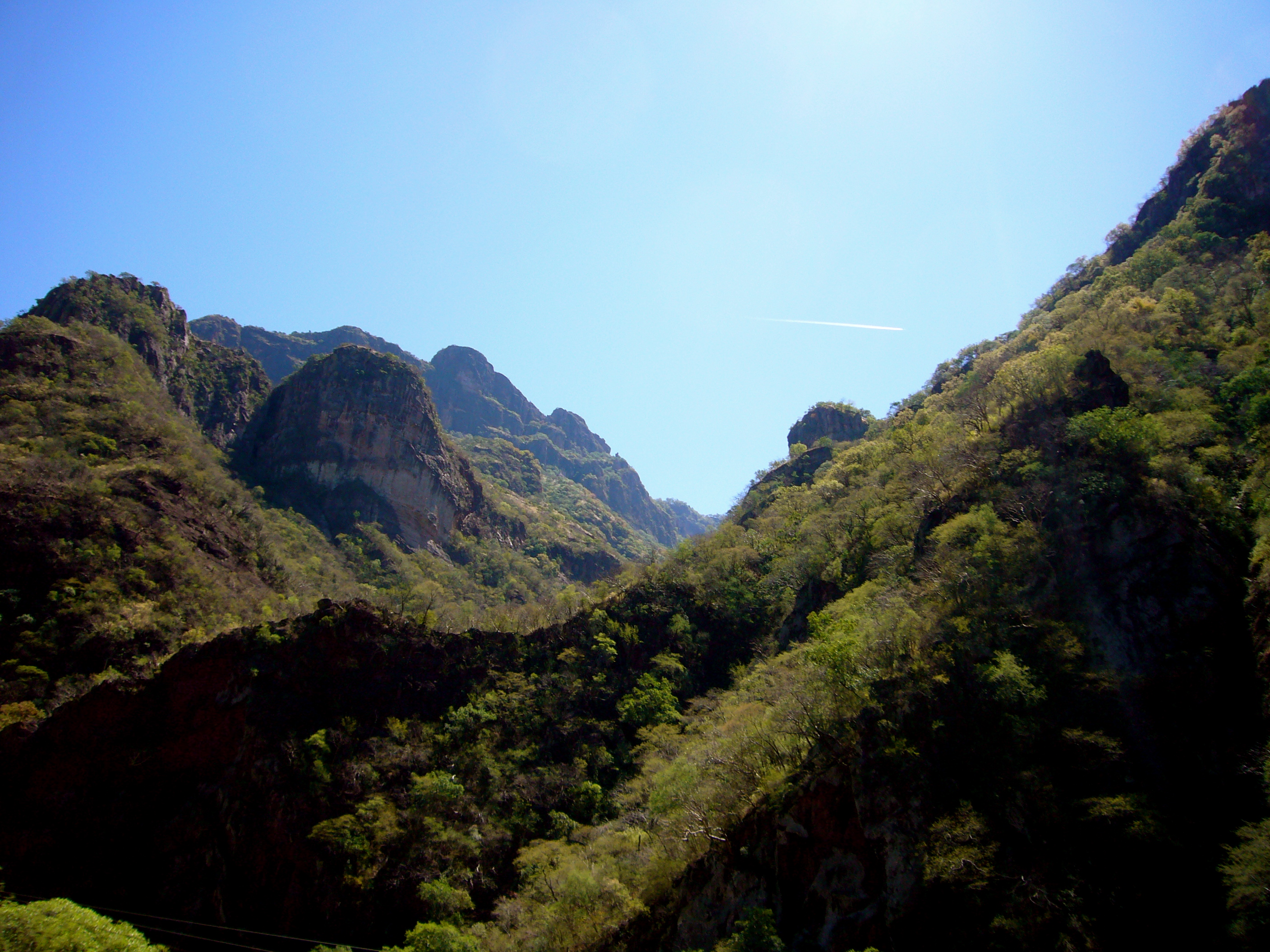
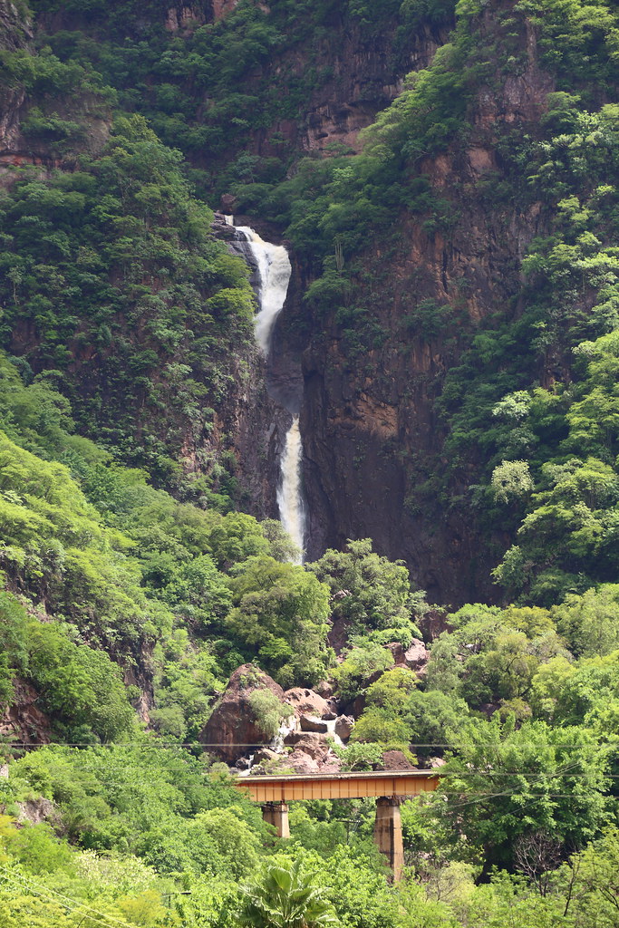
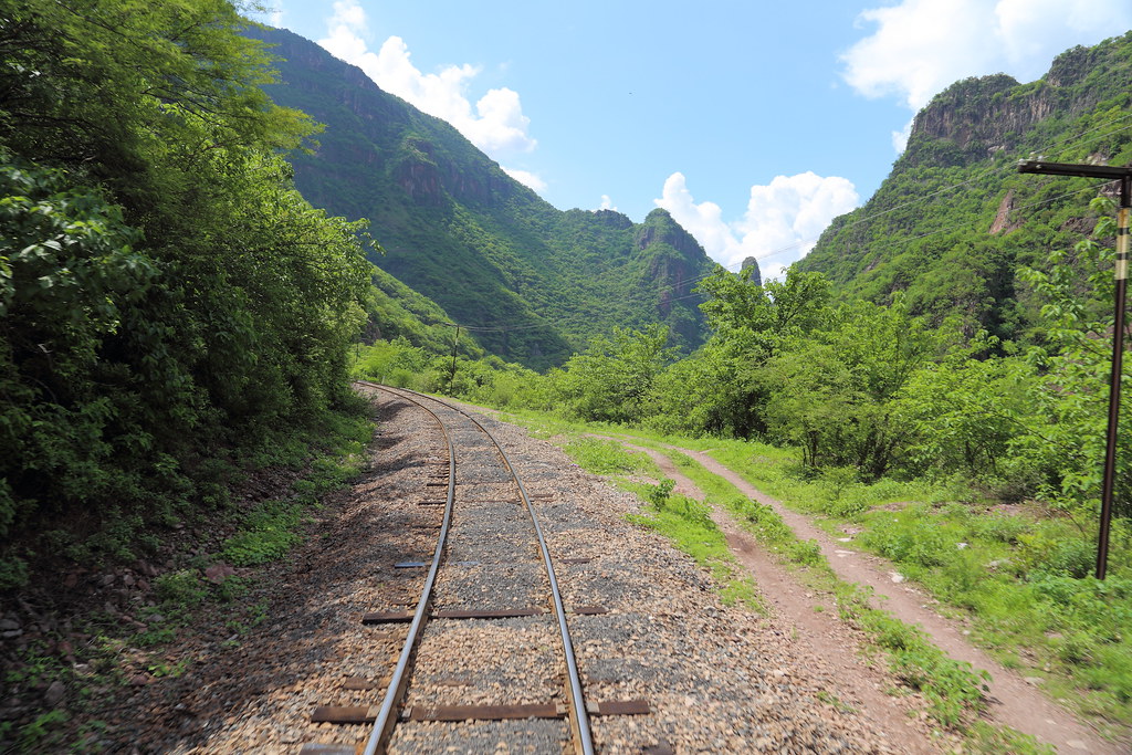
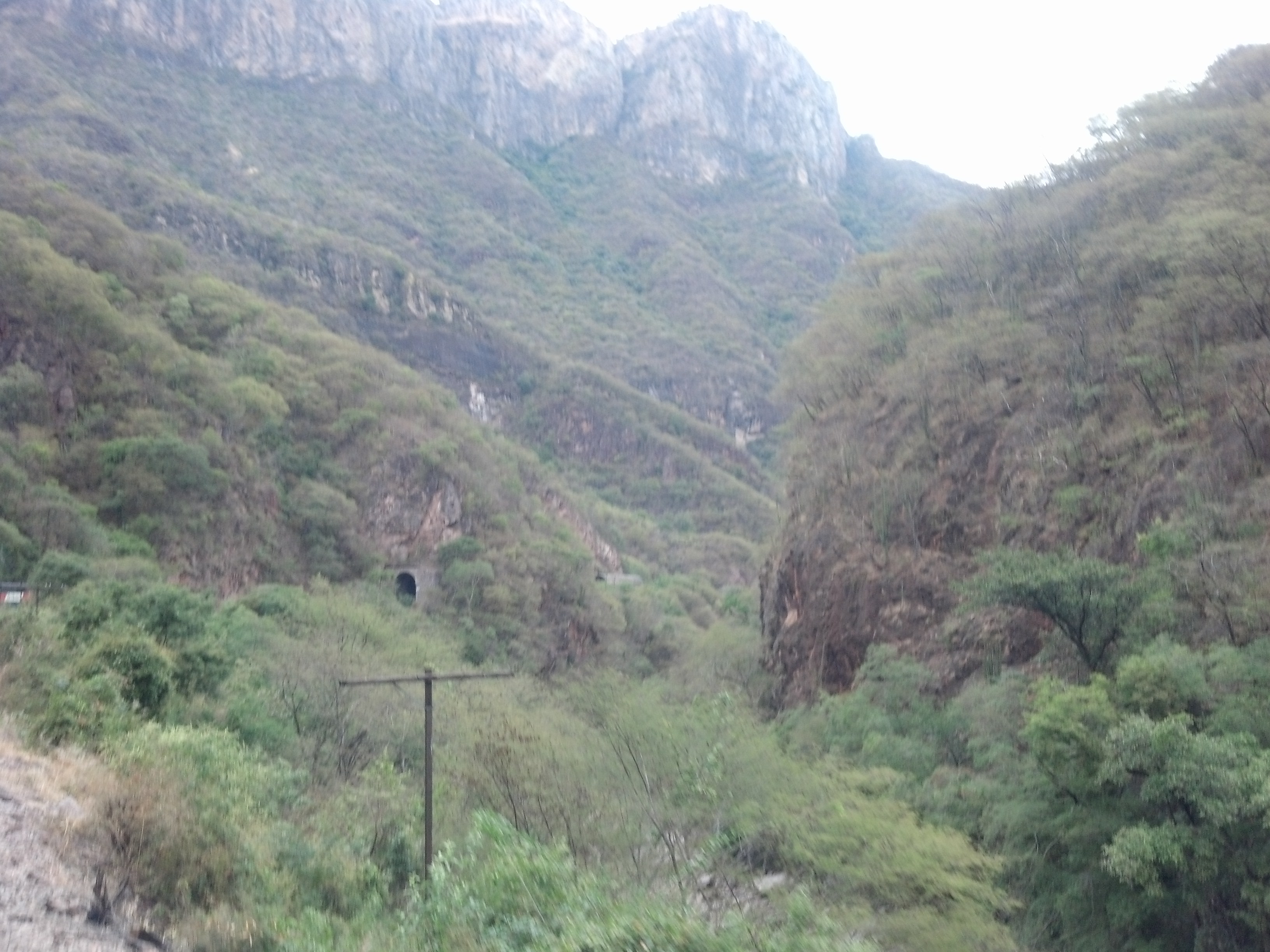
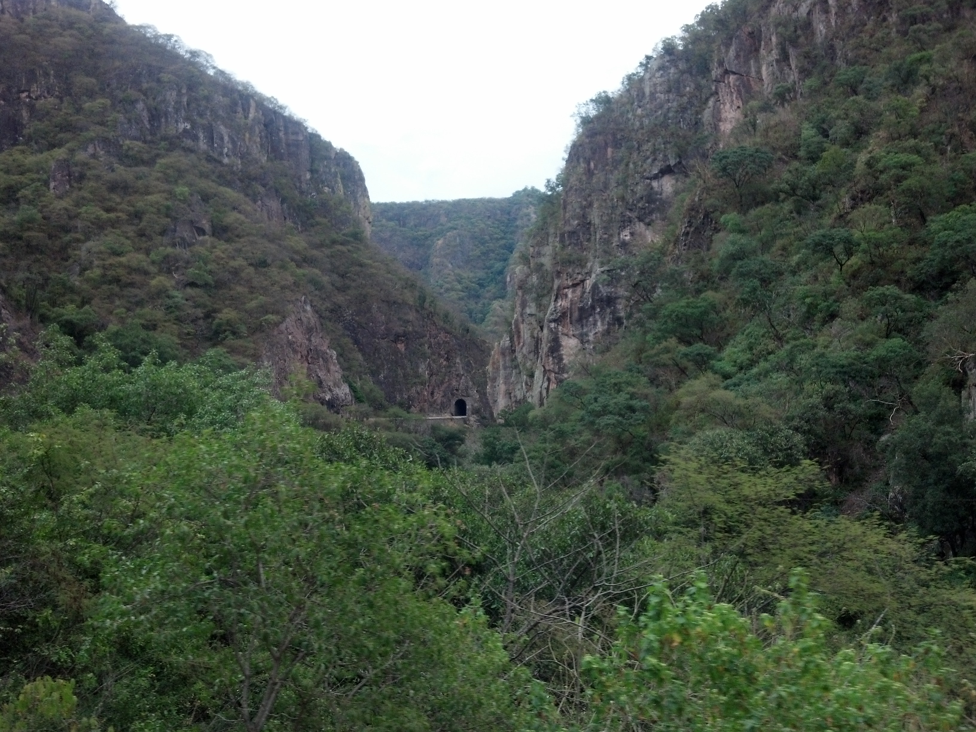
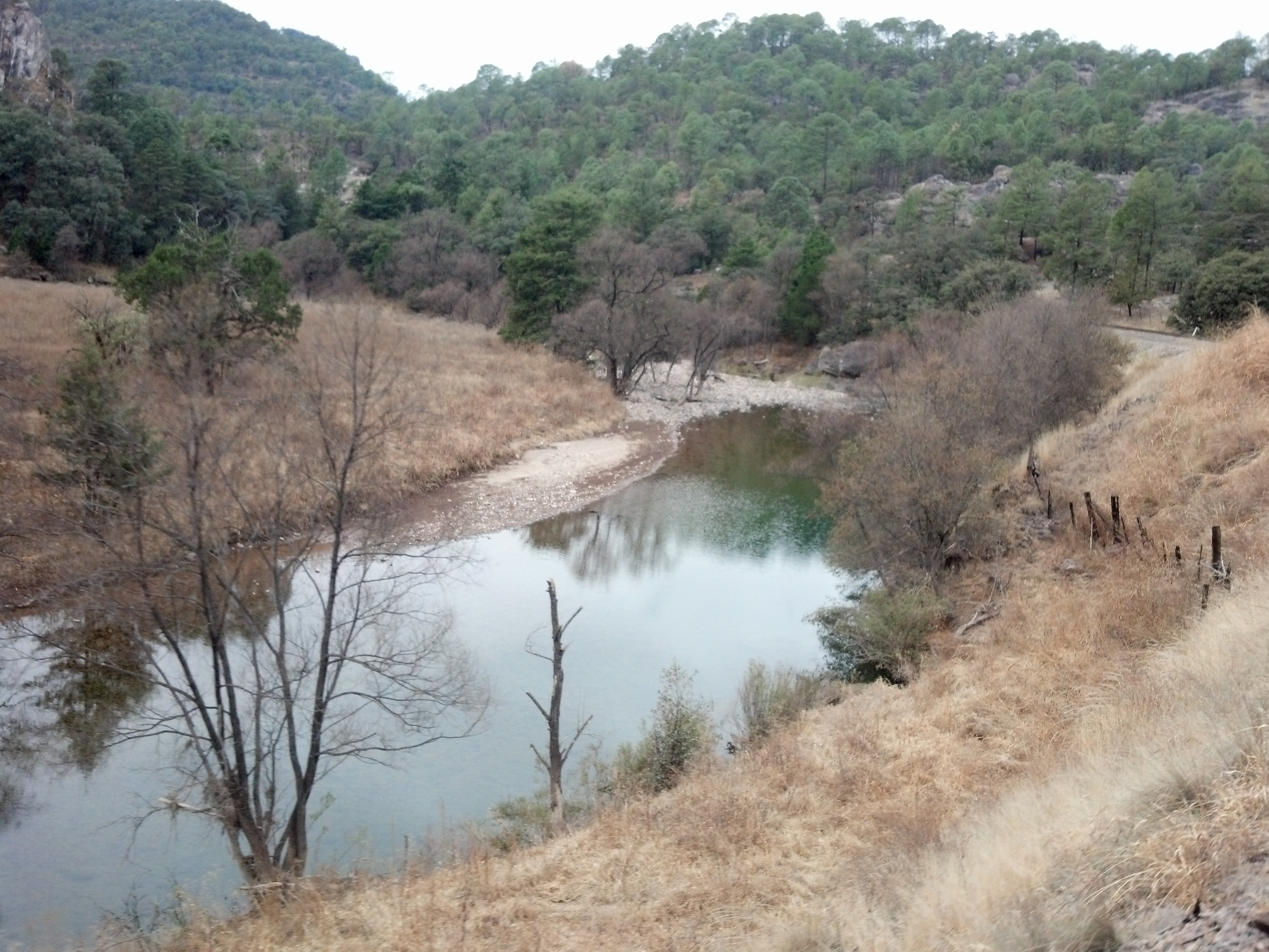
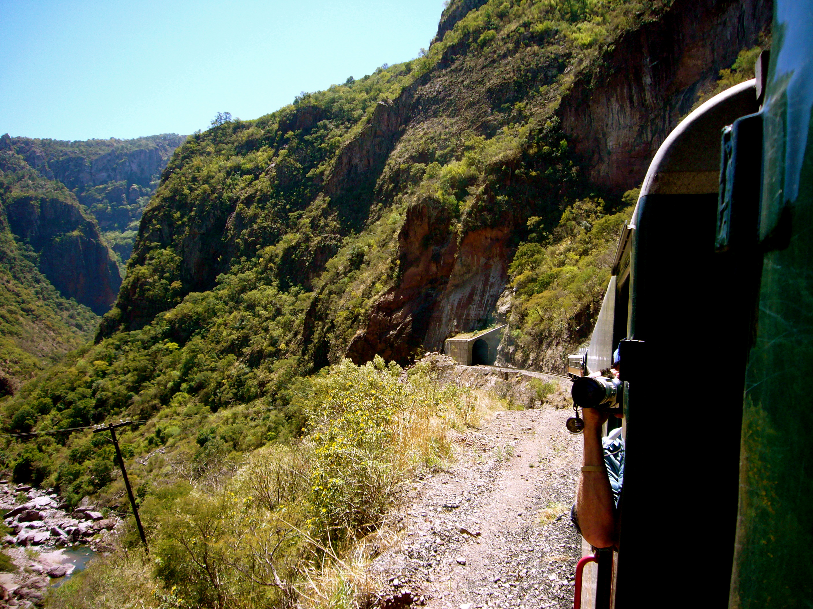
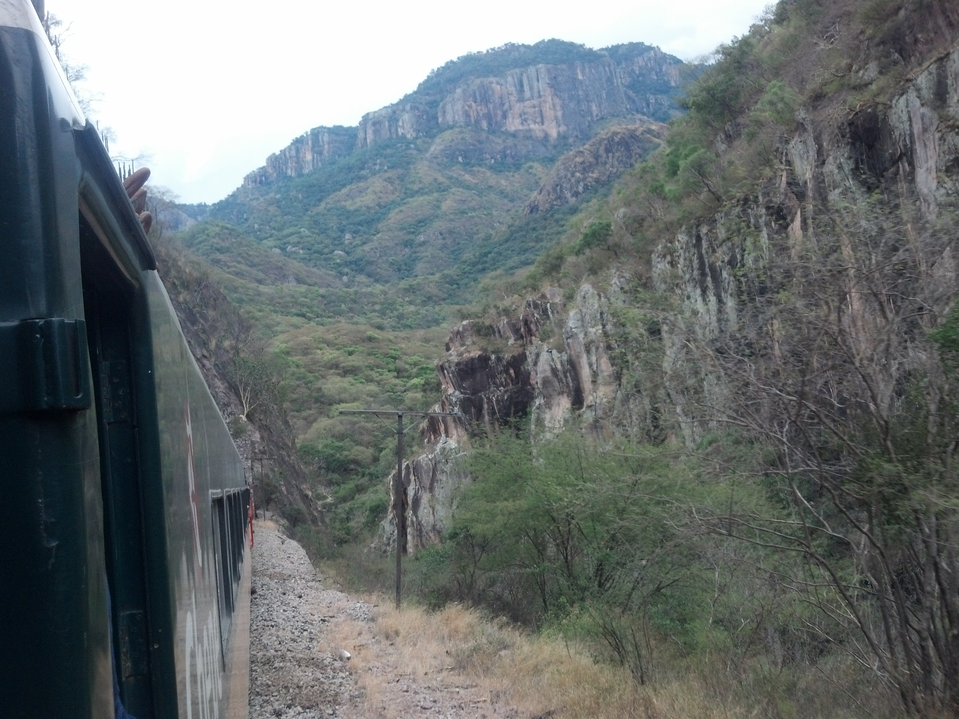
Related Photos:
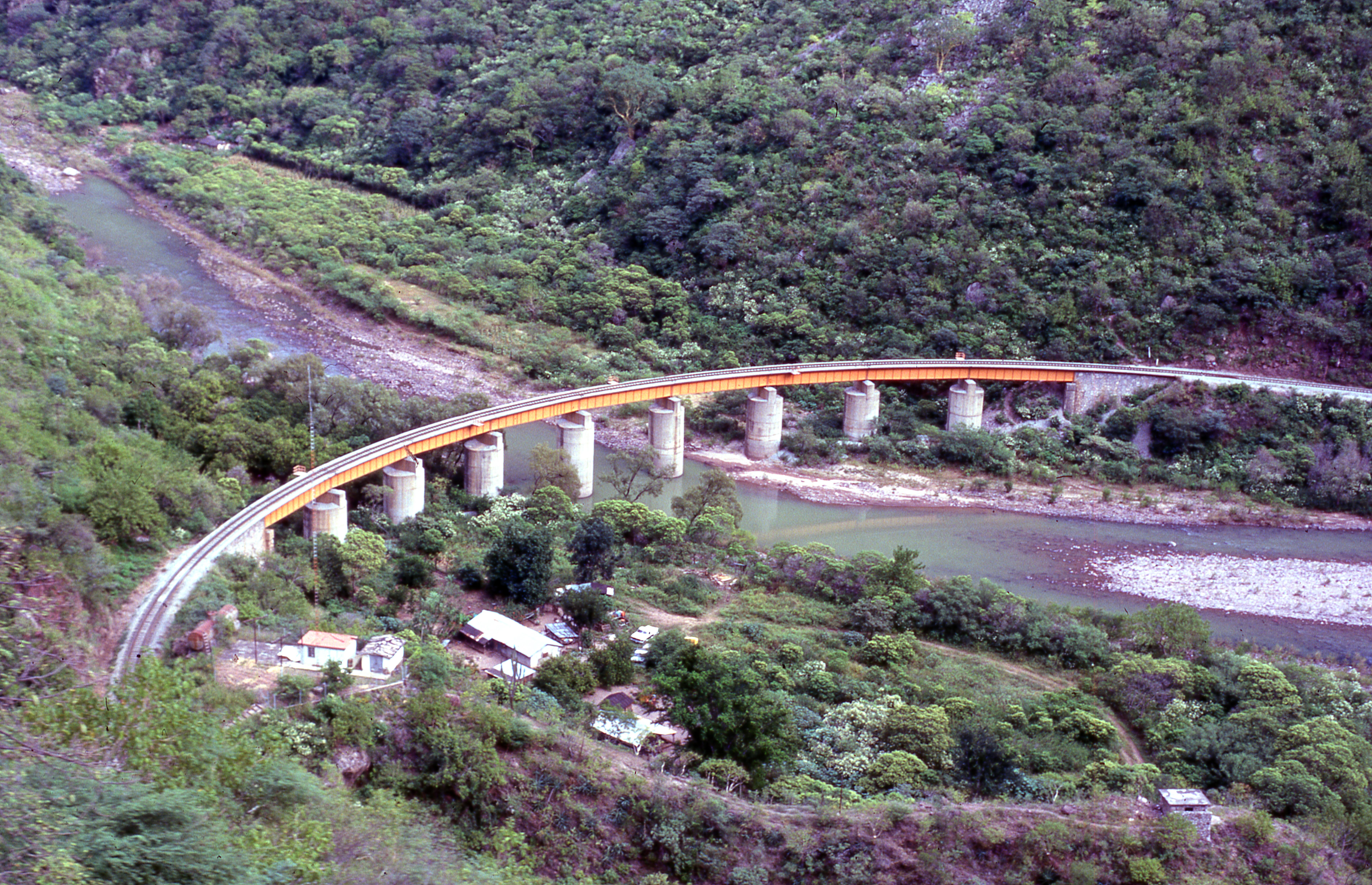
Santa Barbara bridge,Temoris, Mexico 1
P1030378.jpg
P1030367.jpg
P1030373.jpg
P1030377.jpg
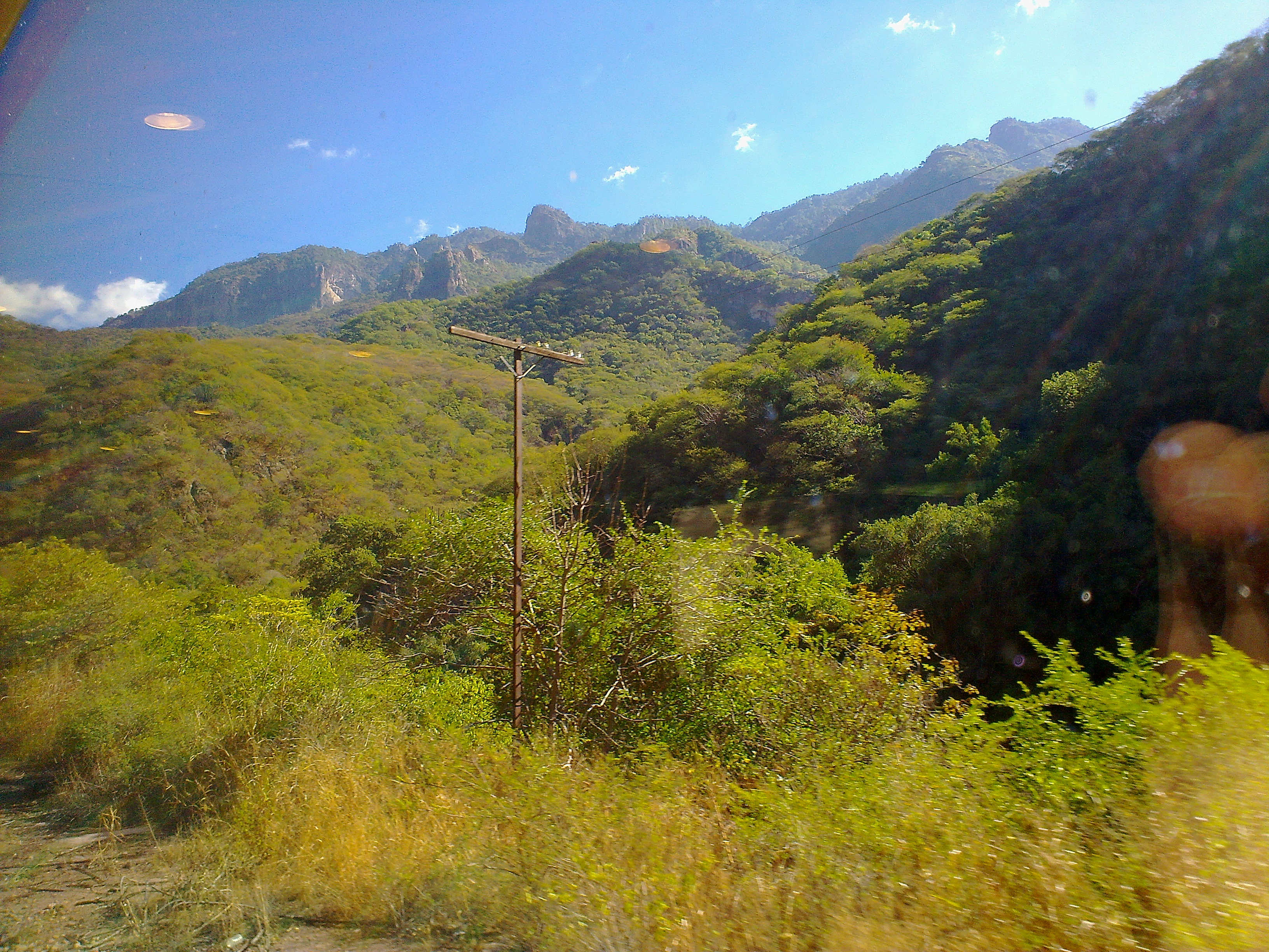
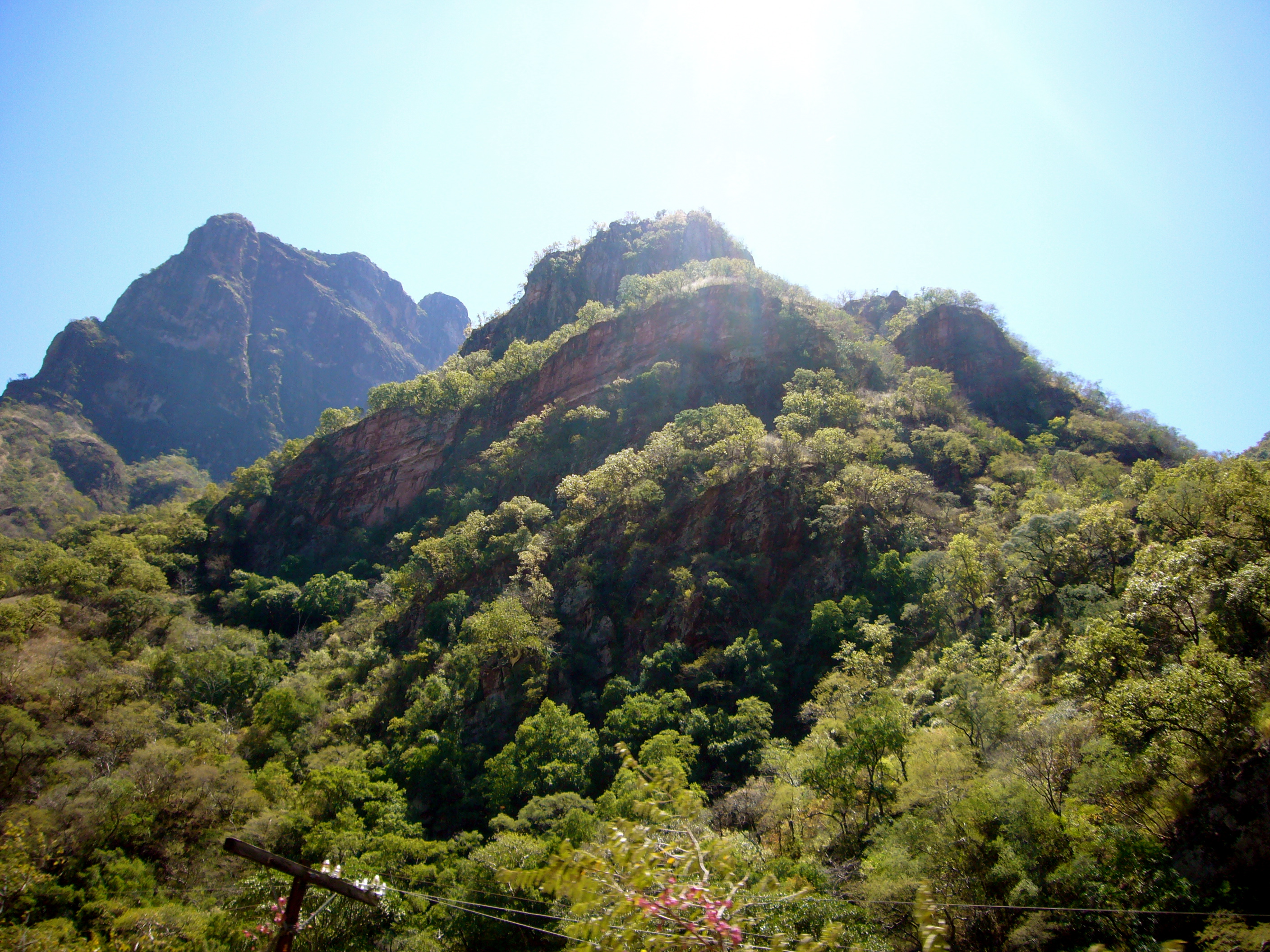
Climbing the mountains in Chihuahua

El Chepe
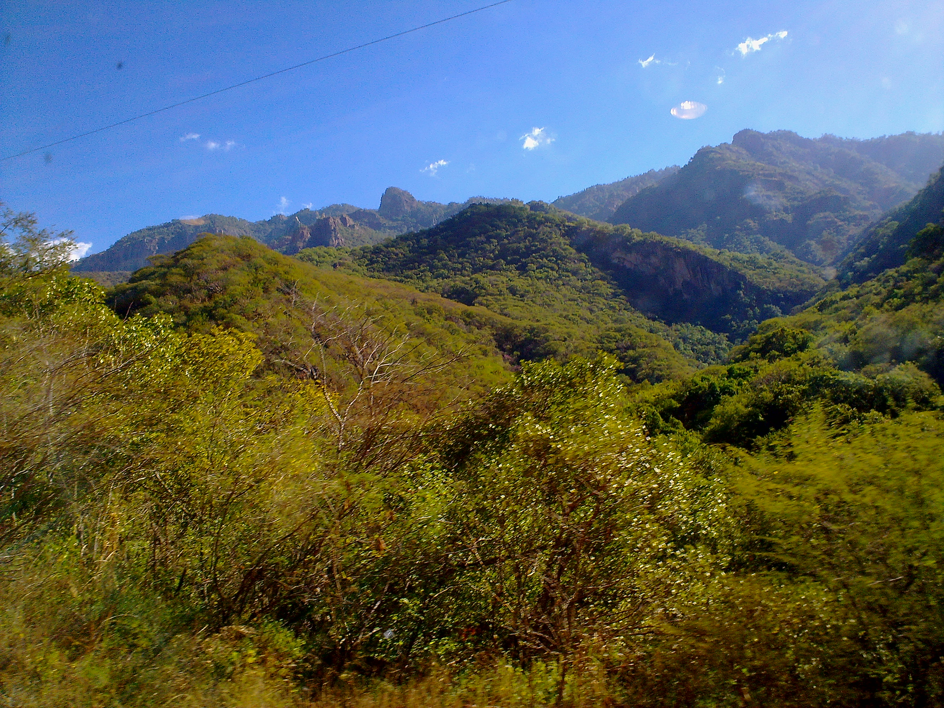
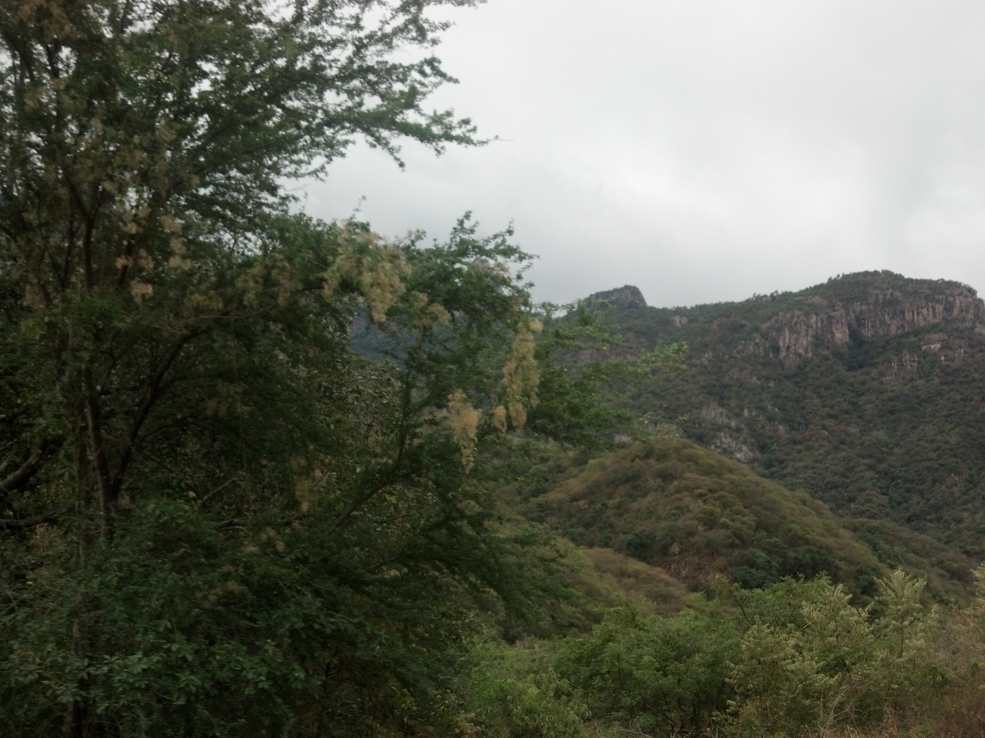
Chihuahua mountain landscape

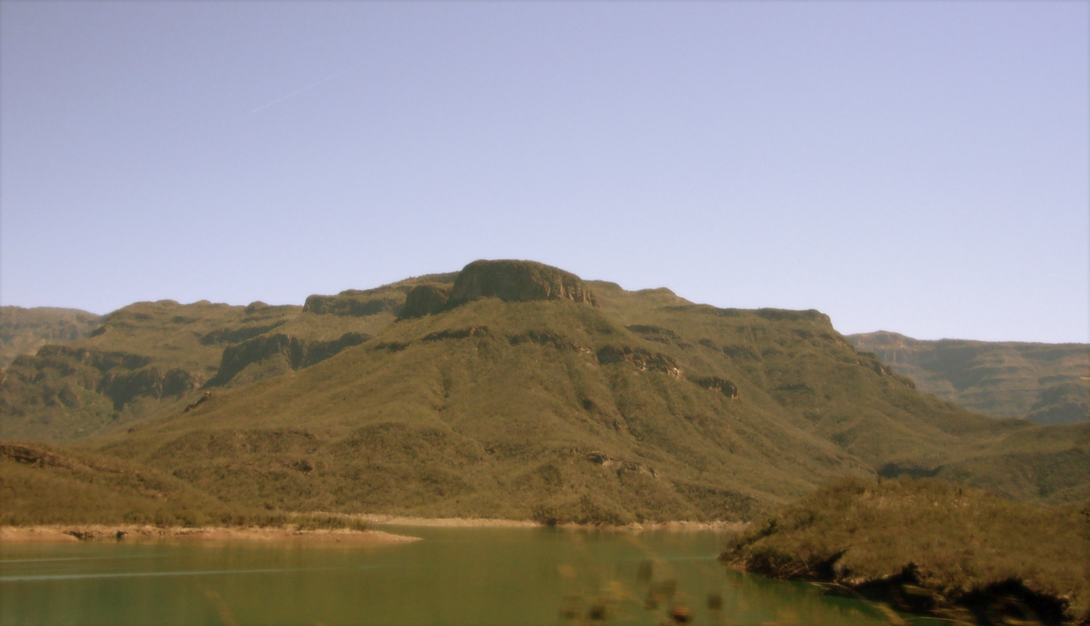
El Chepe, Copper Canyon, Mexico
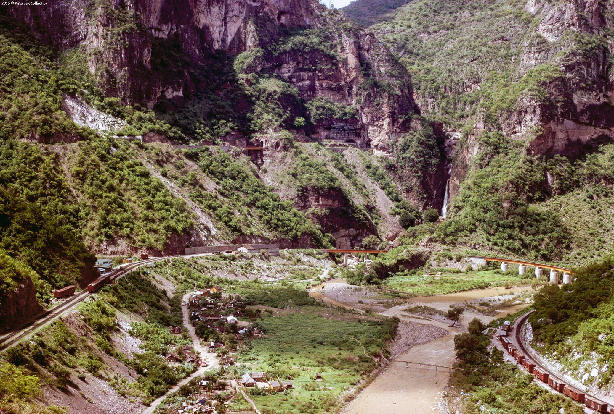
FCP Copper Canyon Trip Mexico 1970
El Chepe

2013-12-27 17.00.08
El Chepe

El Chepe, Copper Canyon, Mexico

El Chepe, Copper Canyon, Mexico
El Chepe, Copper Canyon, Mexico
El Chepe, Copper Canyon, Mexico
El Chepe, Copper Canyon, Mexico

El Chepe, Copper Canyon, Mexico
P1030405.jpg
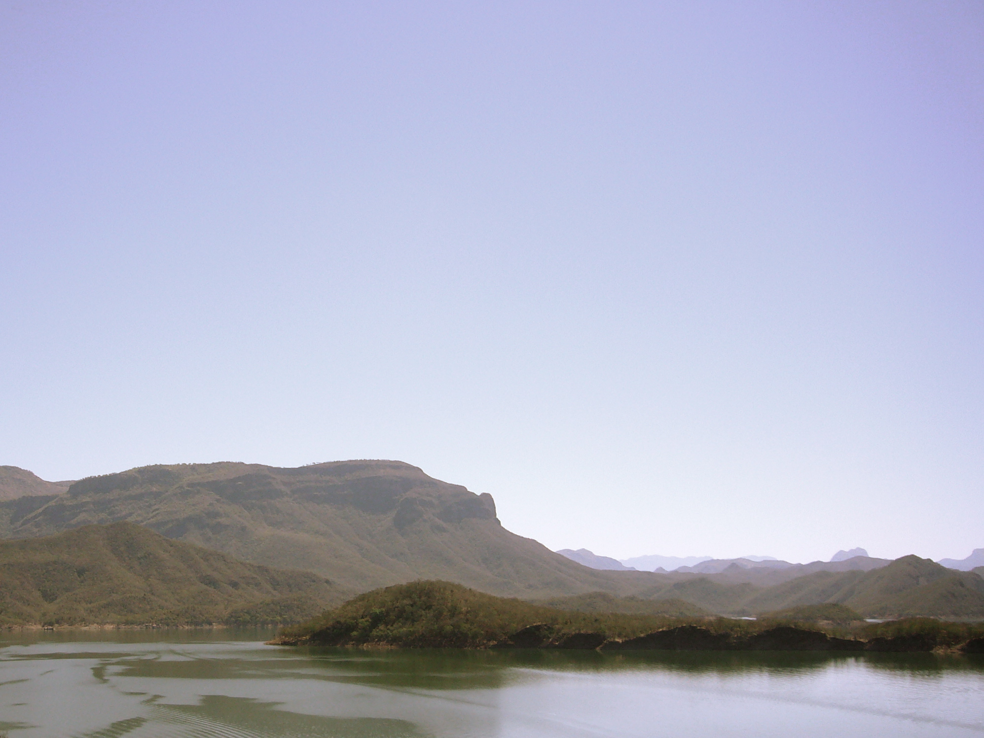
El Chepe, Copper Canyon, Mexico
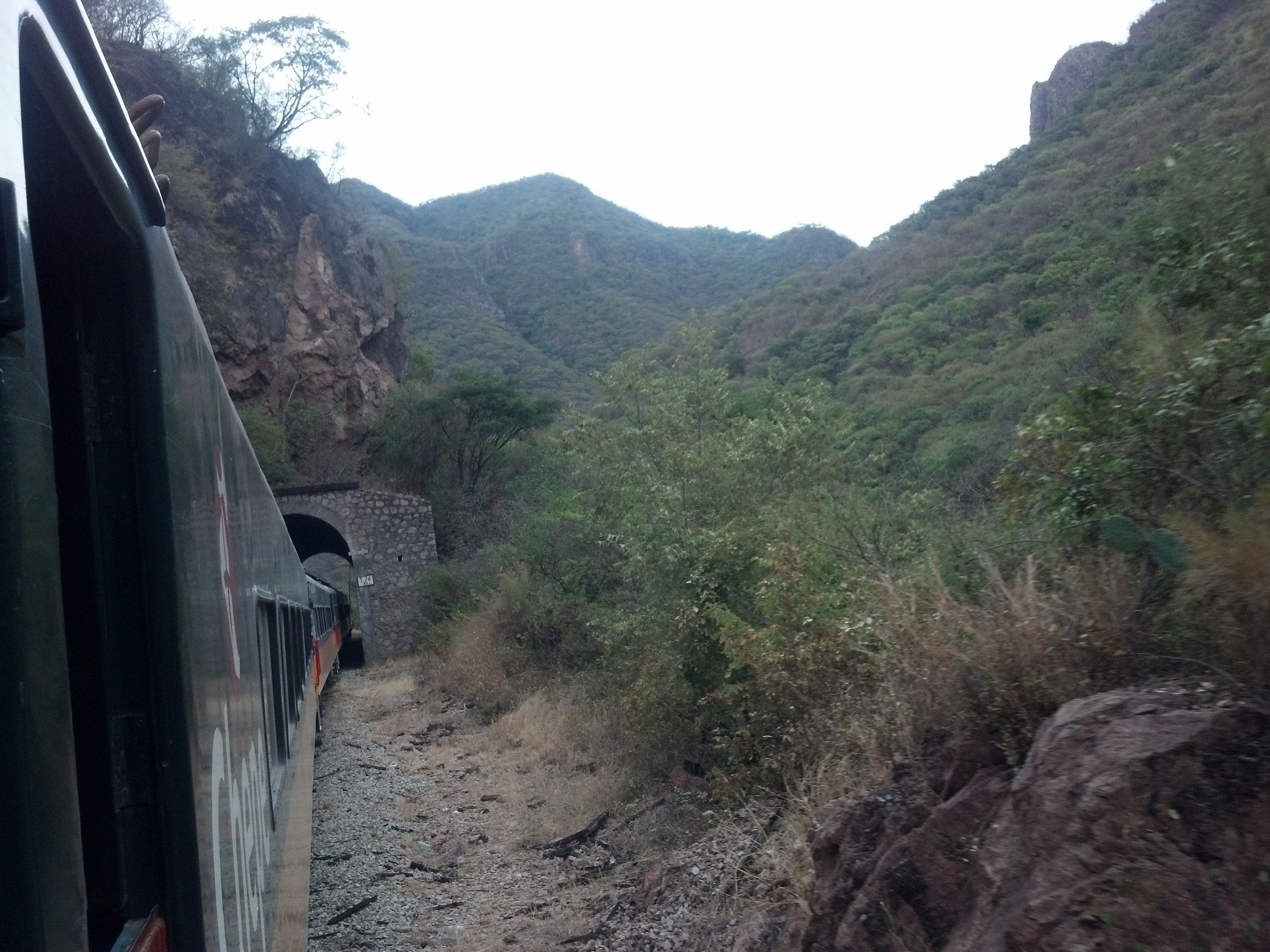
El Chepe, Copper Canyon, Mexico
El Chepe, Copper Canyon, Mexico
Topographic Map of Guazapares Municipality, Chihuahua, Mexico
Find elevation by address:

Places in Guazapares Municipality, Chihuahua, Mexico:
Places near Guazapares Municipality, Chihuahua, Mexico:
Témoris
Cerocahui
Cerocahui
Bahuichivo
Urique
Urique
El Fuerte
Barranca Del Cobre
Batopilas
Batopilas
Cascada Cusárare
Creel
Bocoyna Municipality
Panalachi
Guachochi
Recent Searches:
- Elevation of Gateway Blvd SE, Canton, OH, USA
- Elevation of East W.T. Harris Boulevard, E W.T. Harris Blvd, Charlotte, NC, USA
- Elevation of West Sugar Creek, Charlotte, NC, USA
- Elevation of Wayland, NY, USA
- Elevation of Steadfast Ct, Daphne, AL, USA
- Elevation of Lagasgasan, X+CQH, Tiaong, Quezon, Philippines
- Elevation of Rojo Ct, Atascadero, CA, USA
- Elevation of Flagstaff Drive, Flagstaff Dr, North Carolina, USA
- Elevation of Avery Ln, Lakeland, FL, USA
- Elevation of Woolwine, VA, USA