Elevation of Center District, Israel
Location: Israel >
Longitude: 34.906551
Latitude: 31.9521108
Elevation: 64m / 210feet
Barometric Pressure: 101KPa
Elevation Map:
Satellite Map:
Related Photos:

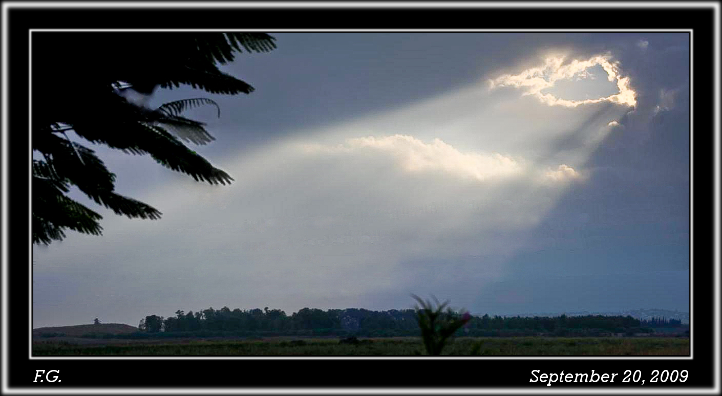
The Celestial Conductor

bee-ware B

Today I'll pray
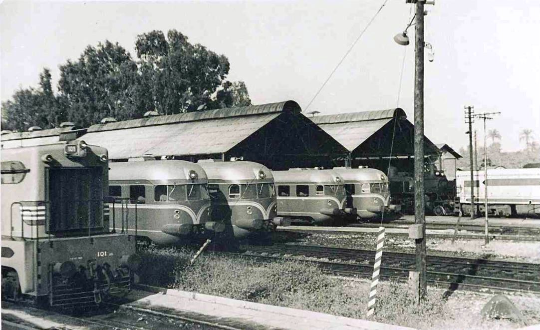
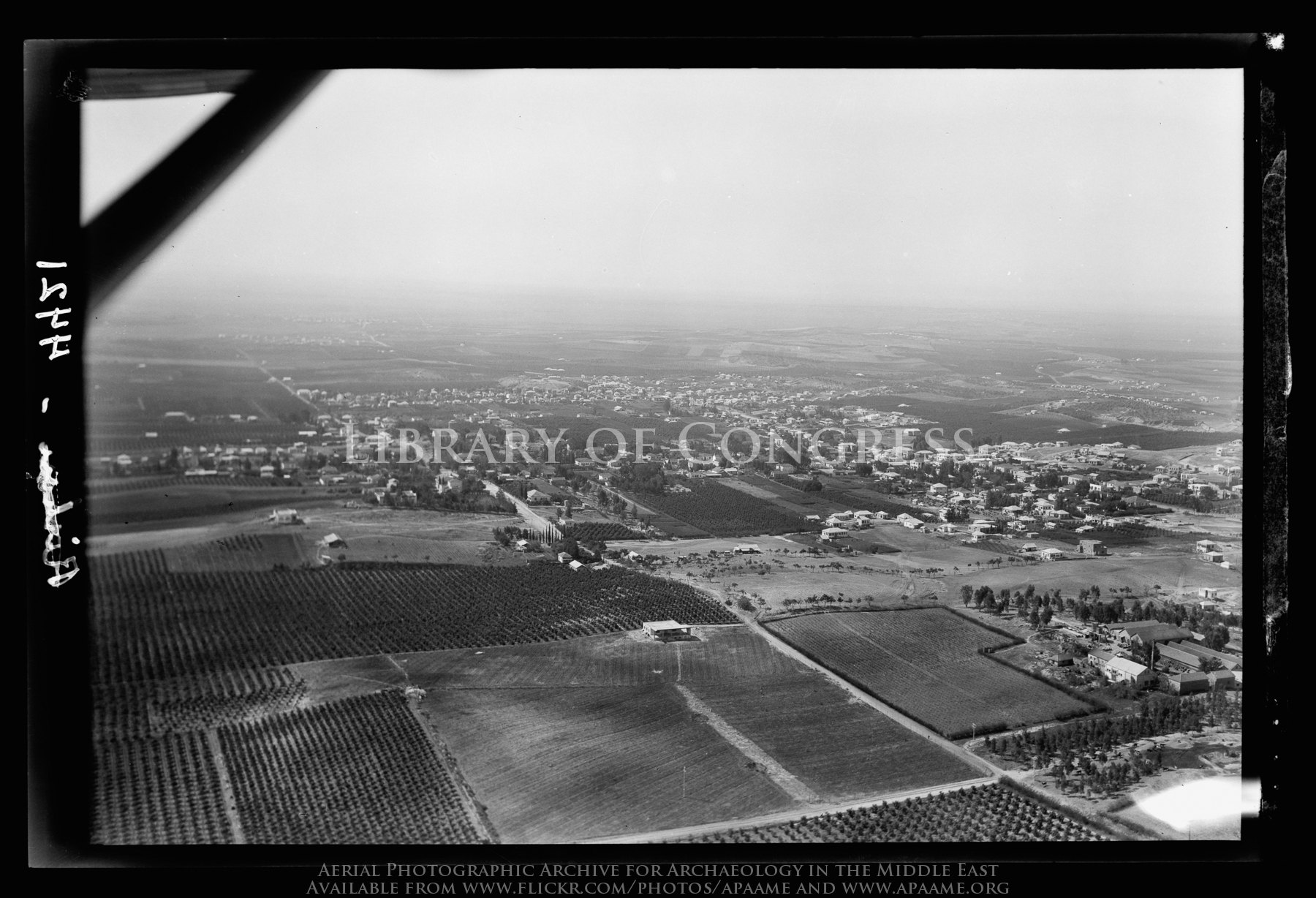
Israel Railways - Lydda Junction railway workshops, 1959

Jaffa & Jerusalem Railway - Ramleh train station
Hulda scenic views-009

Hulda scenic views-007

Hulda scenic views-013

Hulda scenic views-001

Hulda scenic views-015
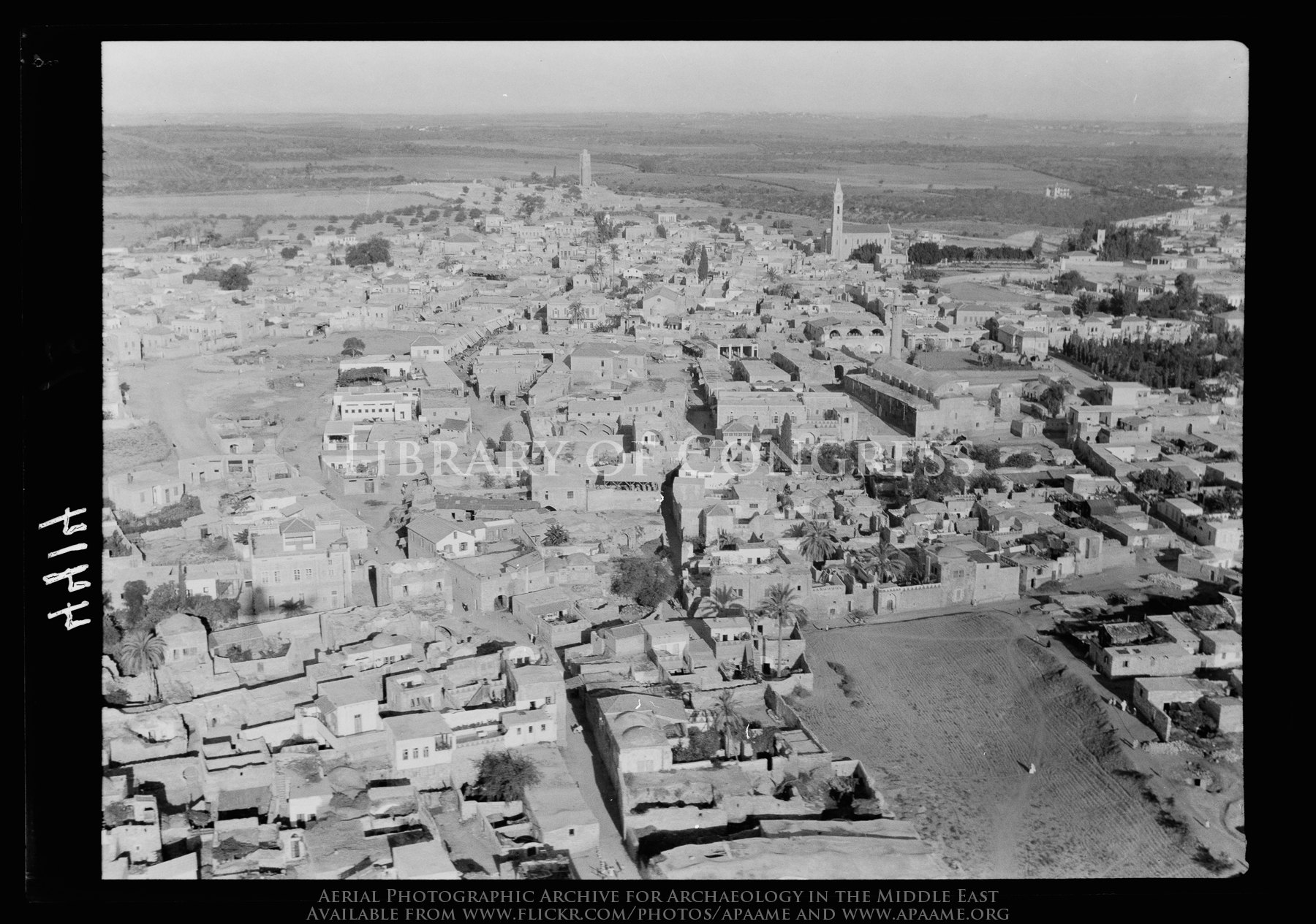
Ramleh. Arimathea. Closer view

Hulda scenic views-006
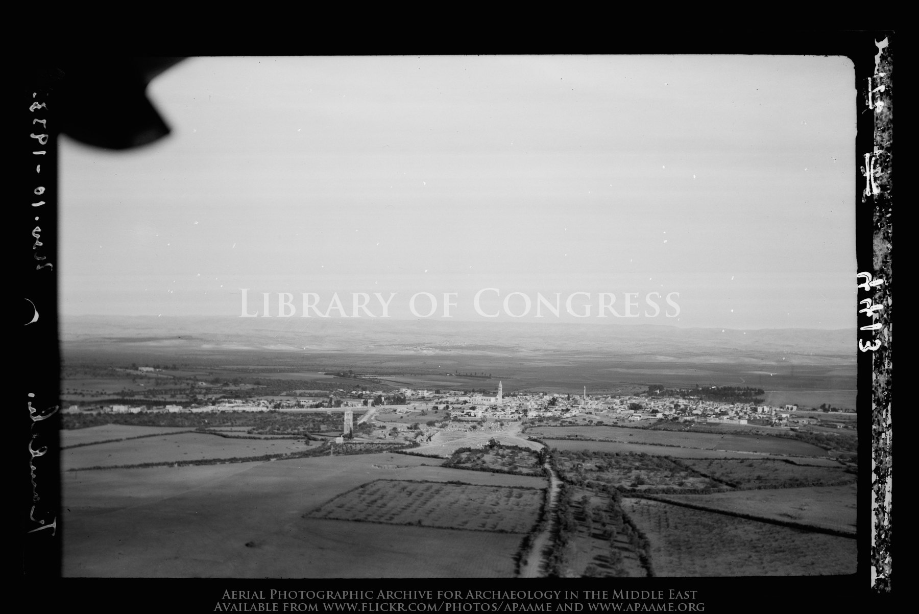
Ramleh. Arimathea. A general view showing the Saracenic tower of "forty martyrs"
Hulda scenic views-008
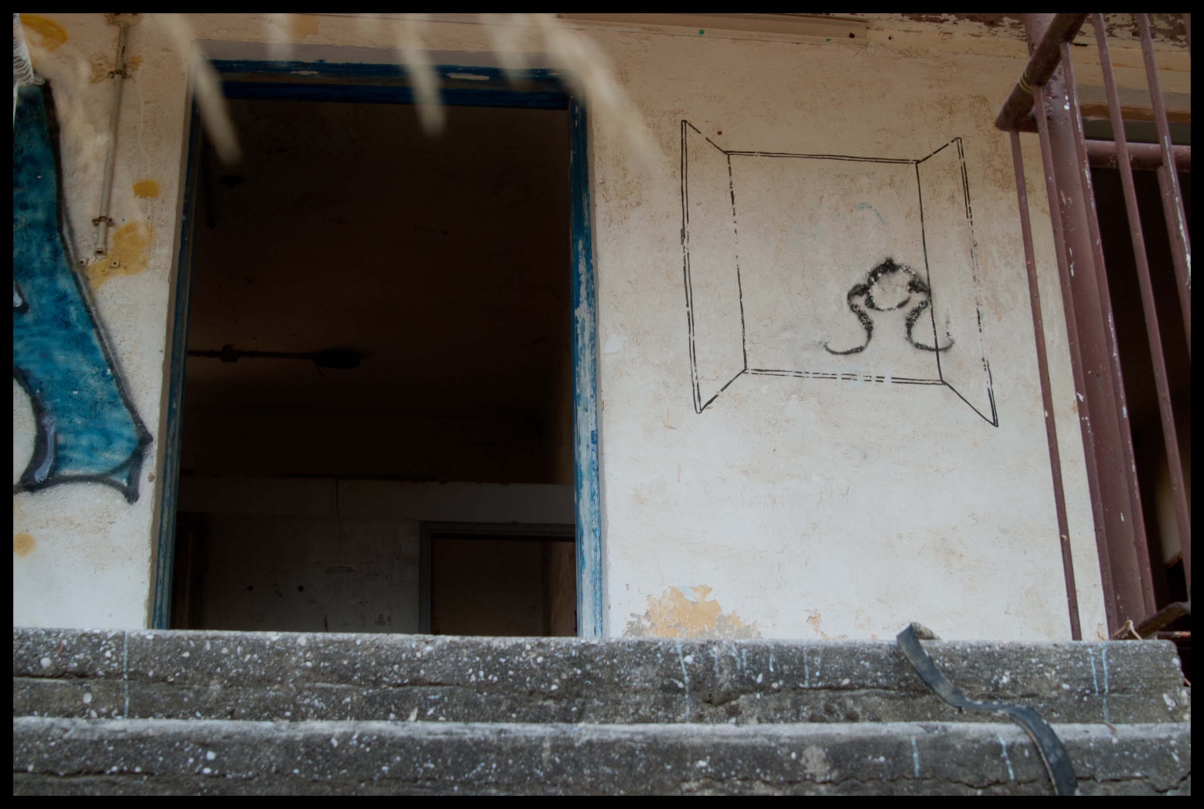
A Room with a View
Rishon. Showing encroaching sands from the sea
Nes Ziona on the Rehovoth Road
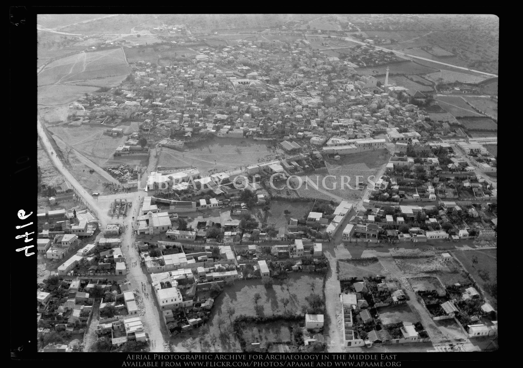
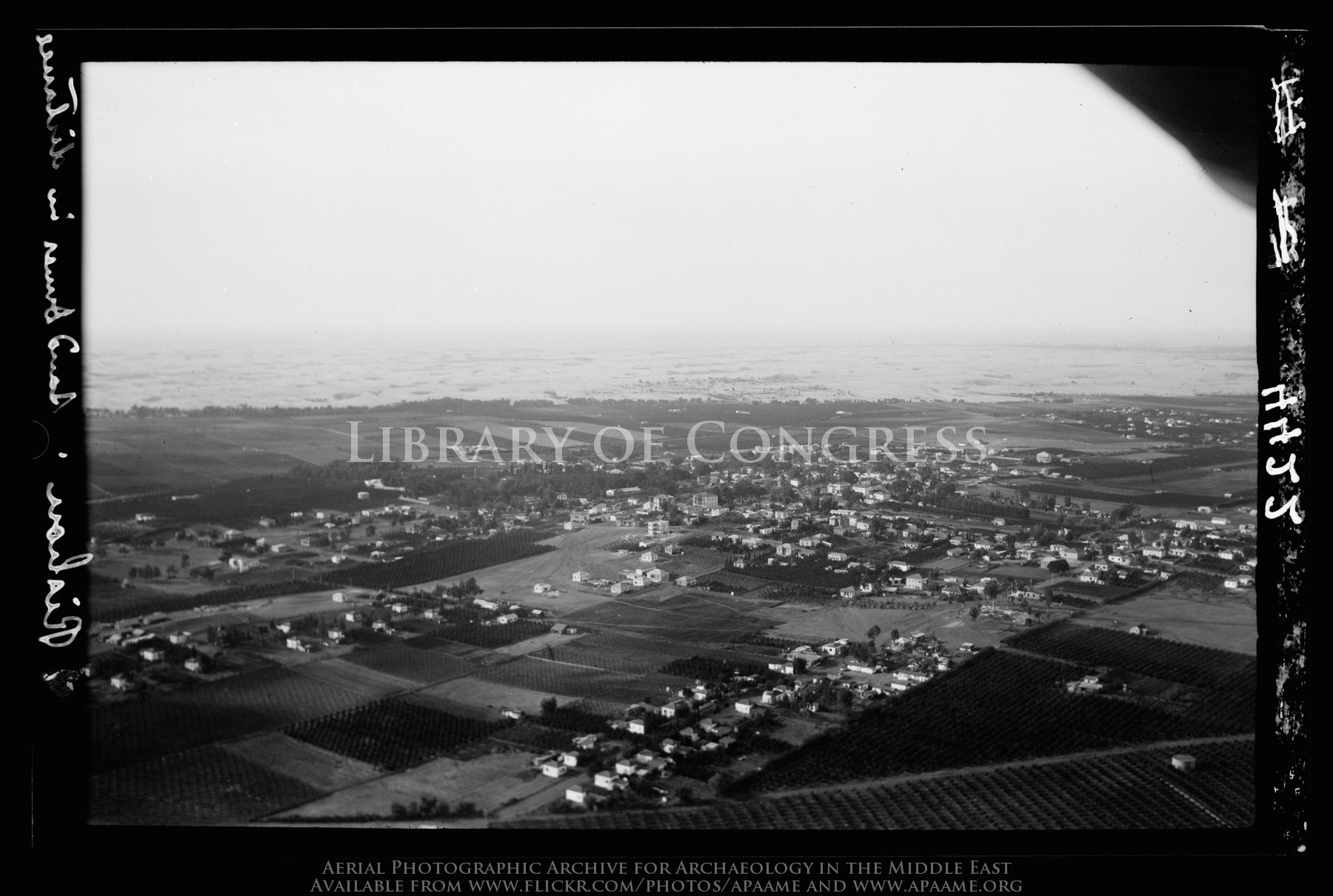
Lydda. The Palestine R.R. [i.e., Railroad] Junction

1. landing

Latron [Latrun]. Showing the Jaffa-Jerusalem motor road and Judean foothills

Hulda scenic views-004

A field nearby our home!

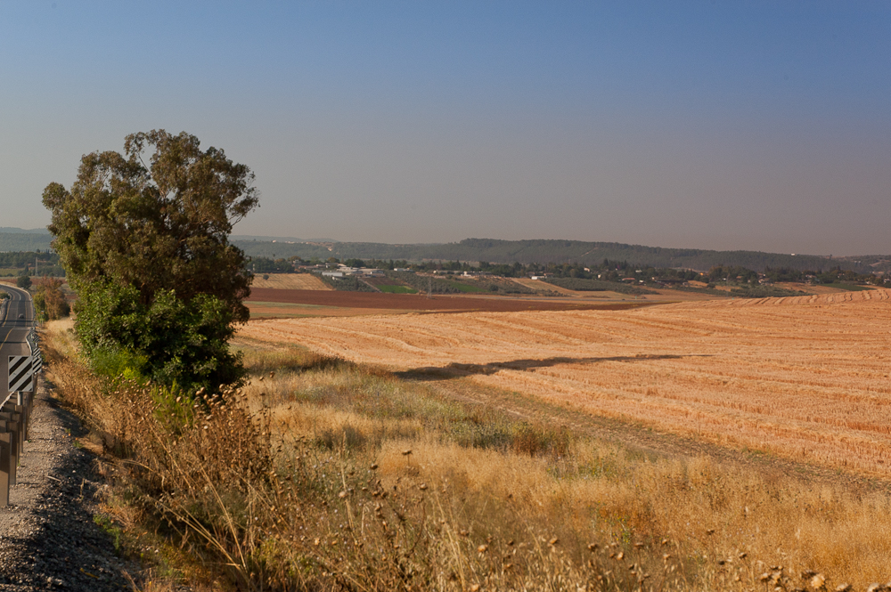
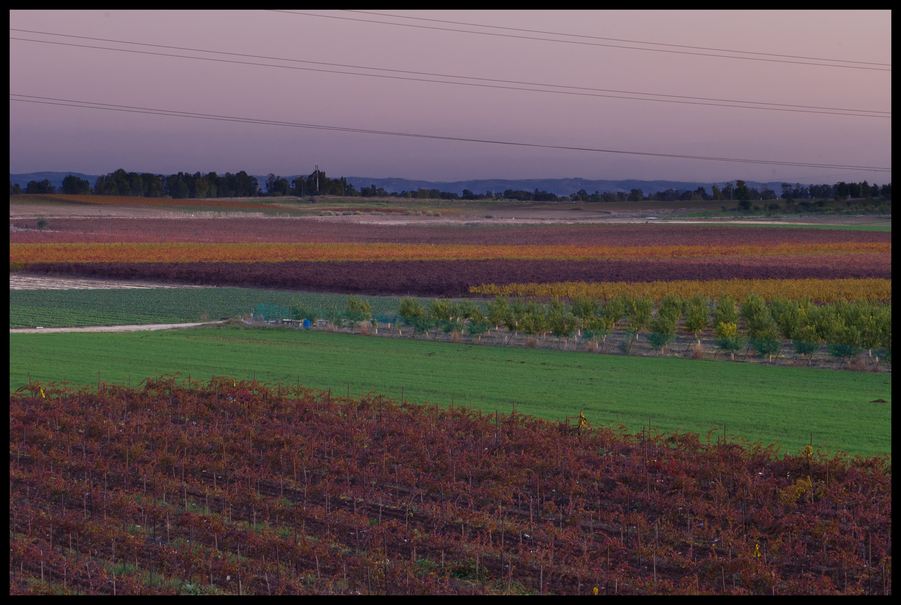
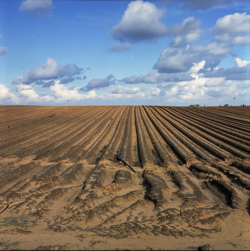
Harvest Time #1!

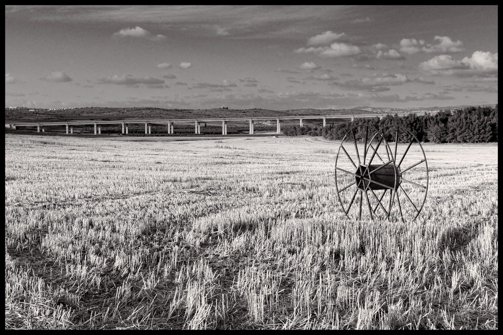
Under The Bridge

The family dog!

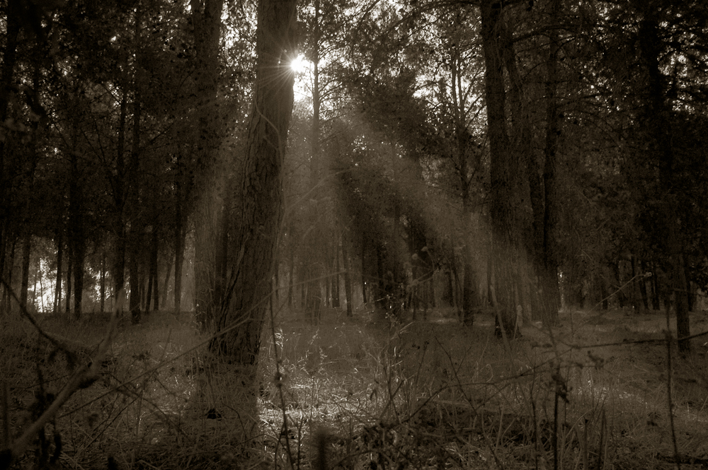
Ben Shemen Forest!
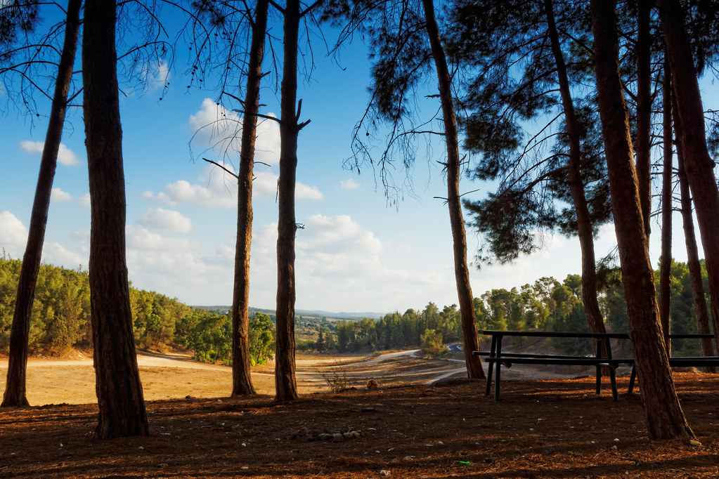
Ben Shemen Forest!

Exploring around Modi'in!

A field nearby!

זהר בדשא

Ein Gedi I
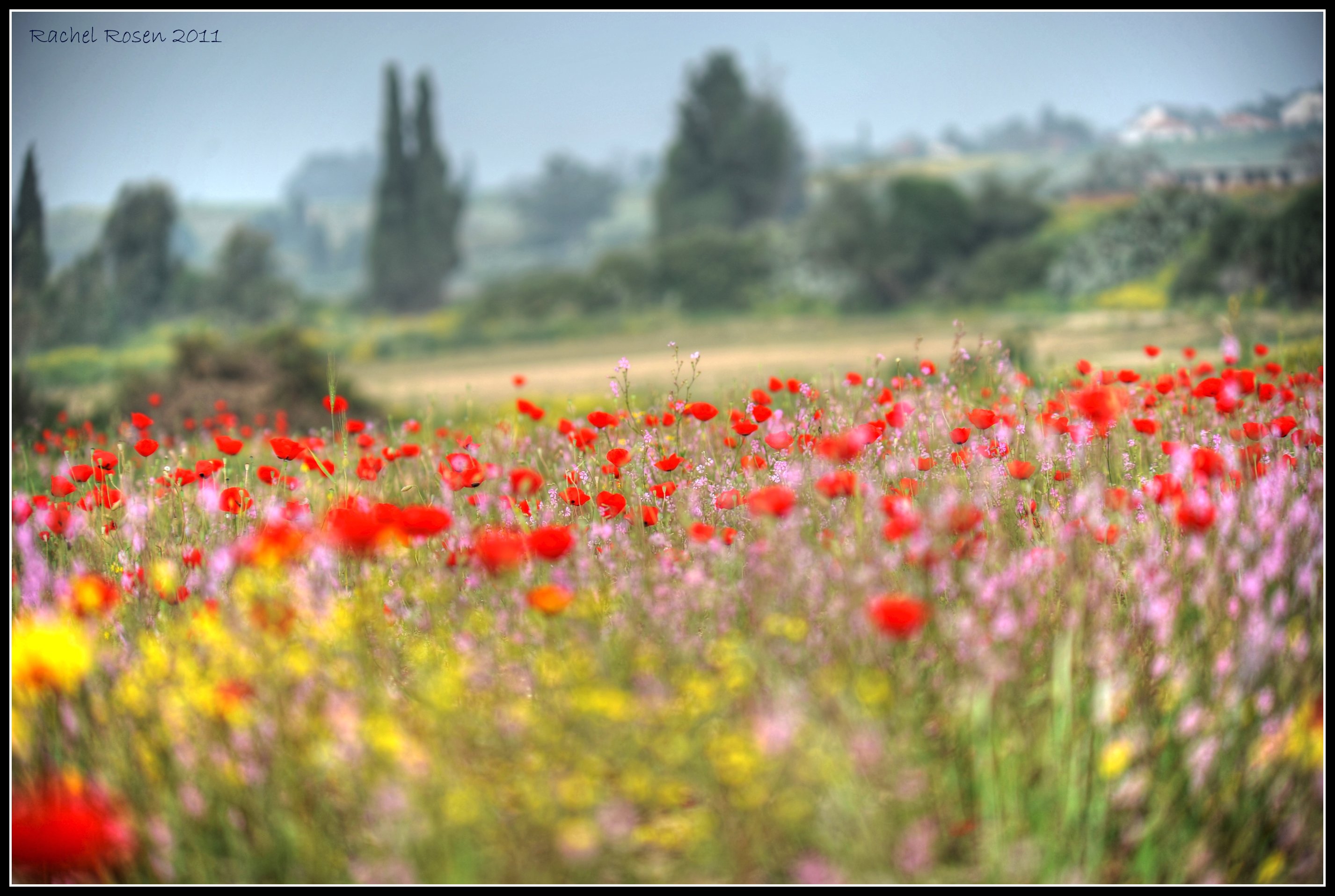
Wild flowers field - Road 40
Sunset from my Backyard
the very end of Rishon Le Zion
The eye in the sky
Exploring around Modi'in in B&W!
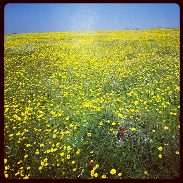
This is all #yellow
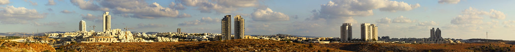
Panorama of Modi'in

National Park, Ramat Gan

Burning Sky

Sunset shoot at Anava Park

Sky & Ground
Topographic Map of Center District, Israel
Find elevation by address:

Places in Center District, Israel:
Places near Center District, Israel:
Ezor Lod
Ramla
Ramla
Be'er Ya'akov
Jacob's Well Cycle
Gezer
Na'an
Neve Tzion Street
Volcani Building
Rehovot
Mazkeret Batya
Calgary Street
52, Hulda, Israel
Modi'in-maccabim-re'ut
Hulda
Modi'in Ilit
Bil'in
Talmon
Recent Searches:
- Elevation of Corso Fratelli Cairoli, 35, Macerata MC, Italy
- Elevation of Tallevast Rd, Sarasota, FL, USA
- Elevation of 4th St E, Sonoma, CA, USA
- Elevation of Black Hollow Rd, Pennsdale, PA, USA
- Elevation of Oakland Ave, Williamsport, PA, USA
- Elevation of Pedrógão Grande, Portugal
- Elevation of Klee Dr, Martinsburg, WV, USA
- Elevation of Via Roma, Pieranica CR, Italy
- Elevation of Tavkvetili Mountain, Georgia
- Elevation of Hartfords Bluff Cir, Mt Pleasant, SC, USA