Elevation of Gezer, Israel
Location: Israel > Center District > Ramla >
Longitude: 34.92111
Latitude: 31.876349
Elevation: 126m / 413feet
Barometric Pressure: 100KPa
Elevation Map:
Satellite Map:
Related Photos:
#garden view
bee-ware B

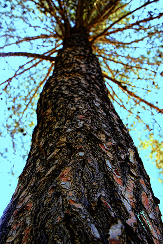
So talented! @motty_n - artist. #point of #view.
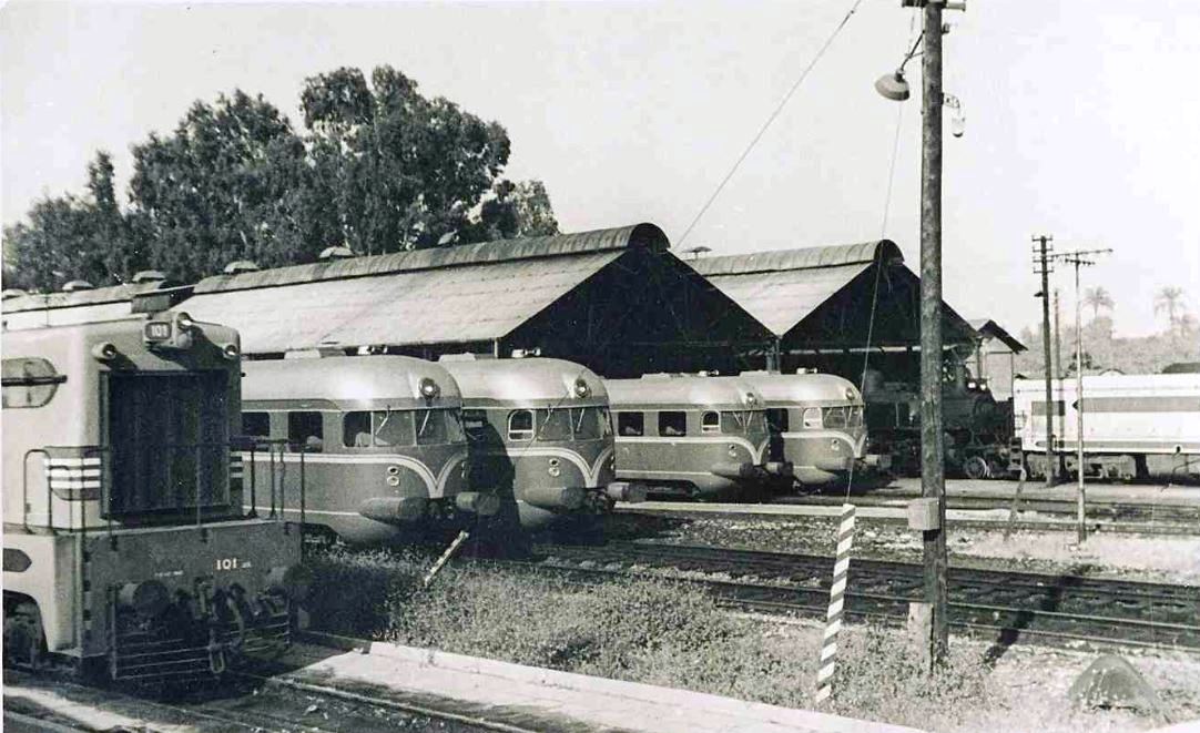
Israel Railways - Lydda Junction railway workshops, 1959

Jaffa & Jerusalem Railway - Ramleh train station
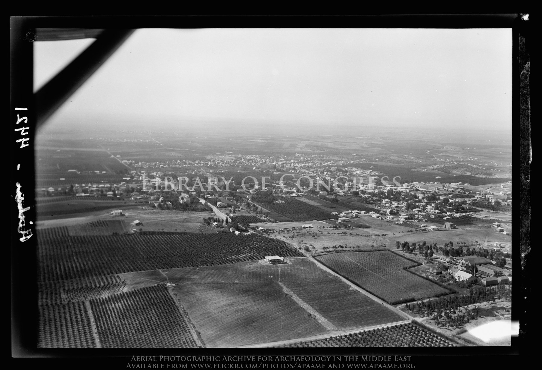
Nes Ziona on the Rehovoth Road
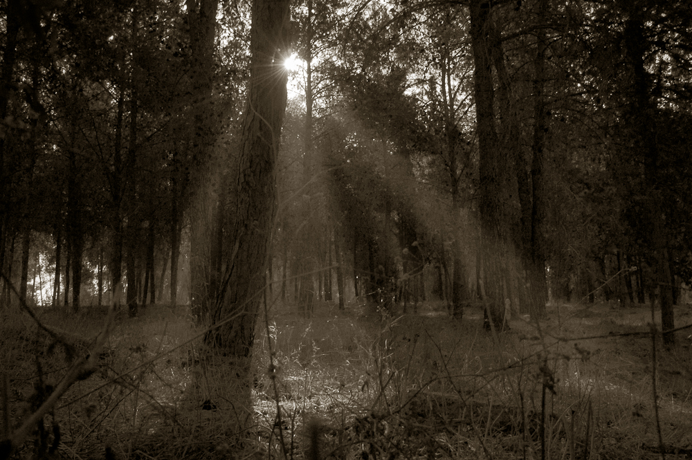
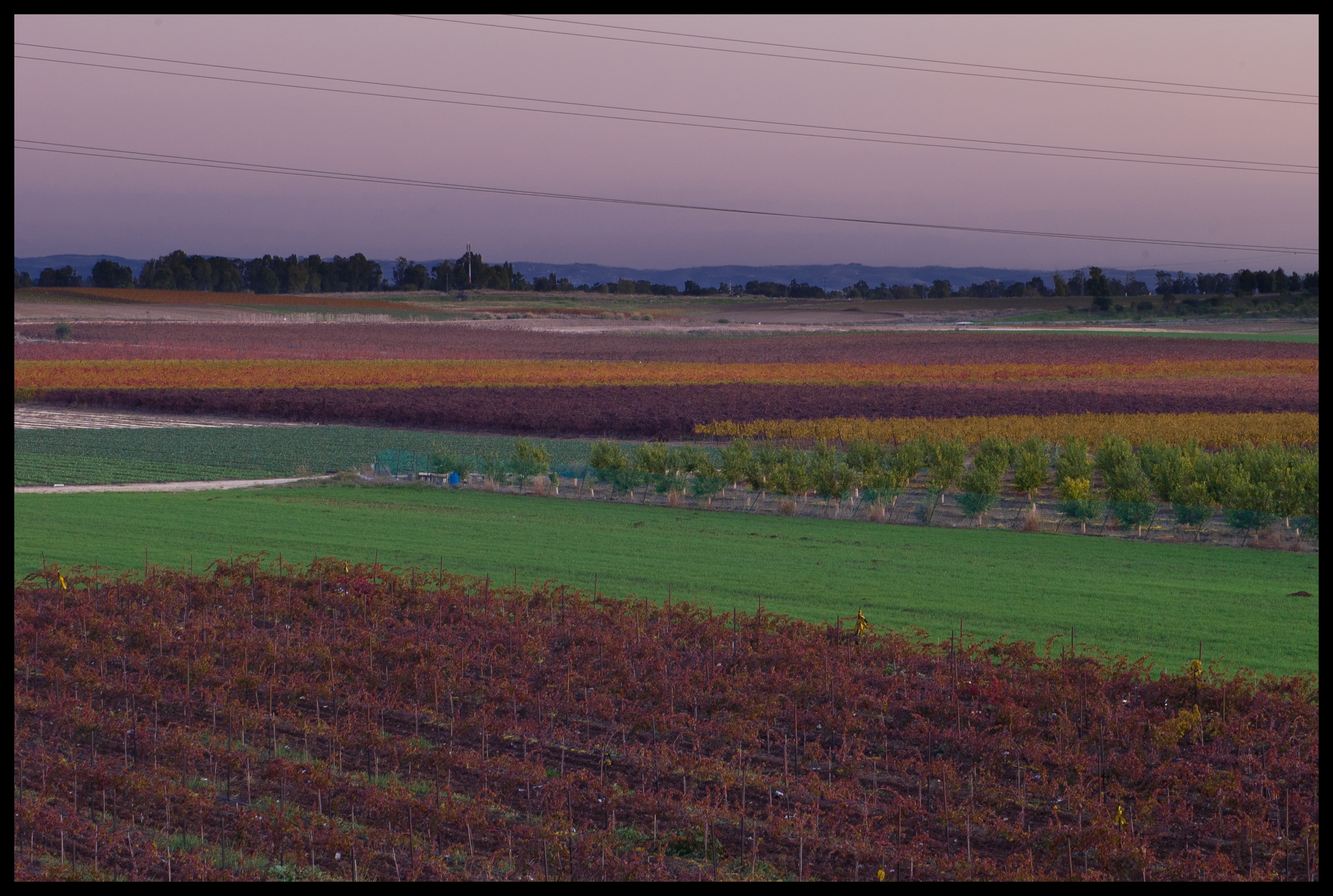
Hulda scenic views-009

Hulda scenic views-007

Hulda scenic views-013

Hulda scenic views-001
A gift מתנה
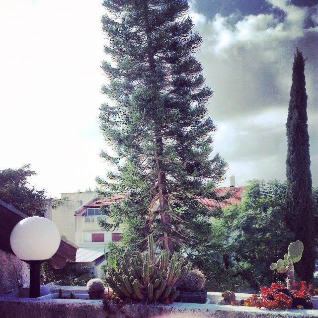
Too sunny for winter. #tree #view
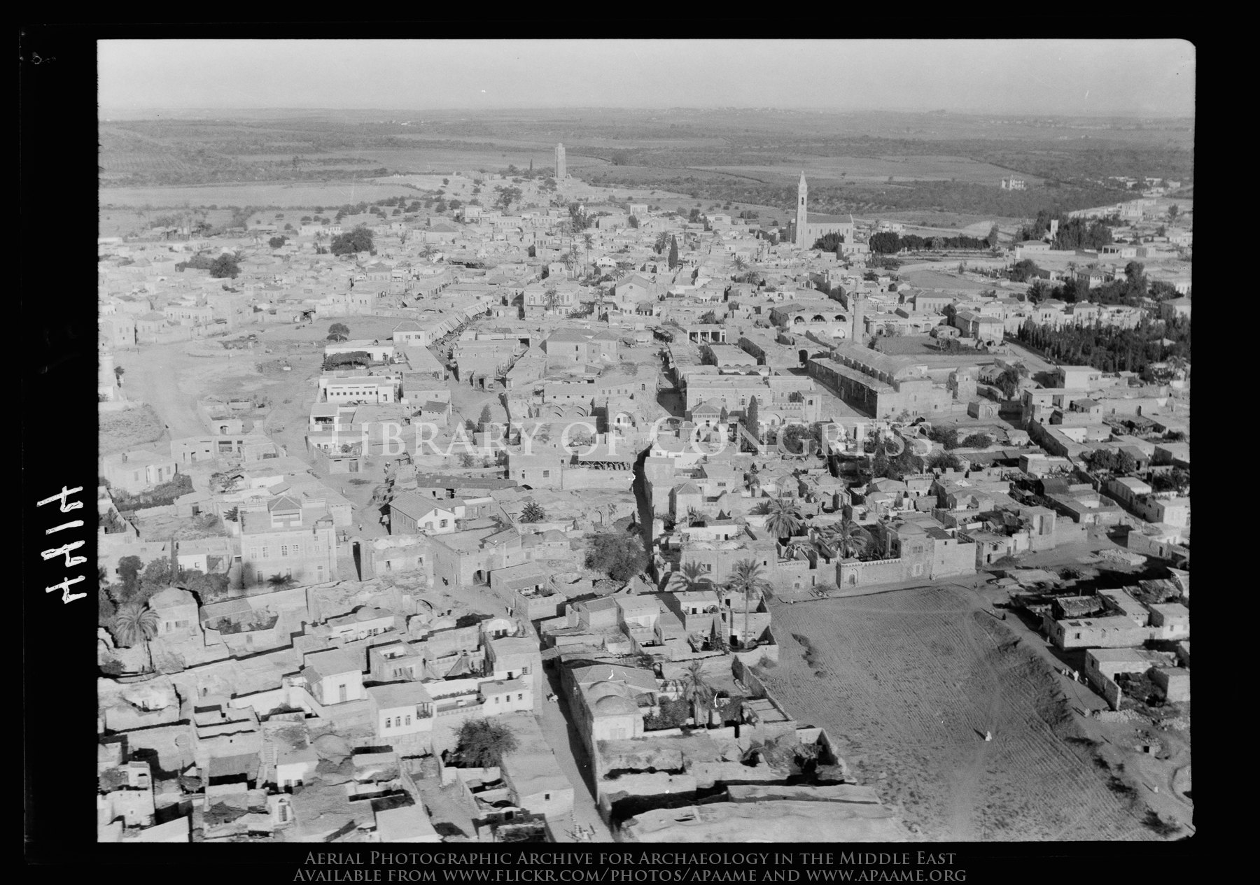
Ramleh. Arimathea. Closer view
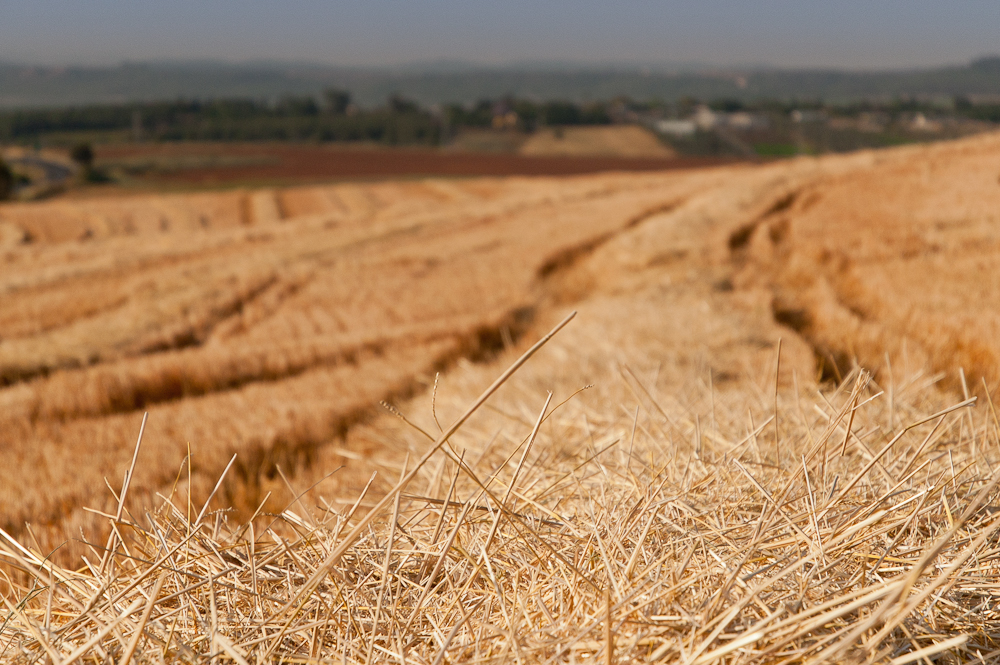
Hulda scenic views-006
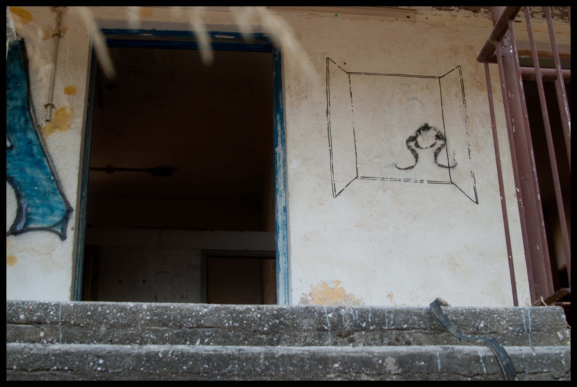
A Room with a View
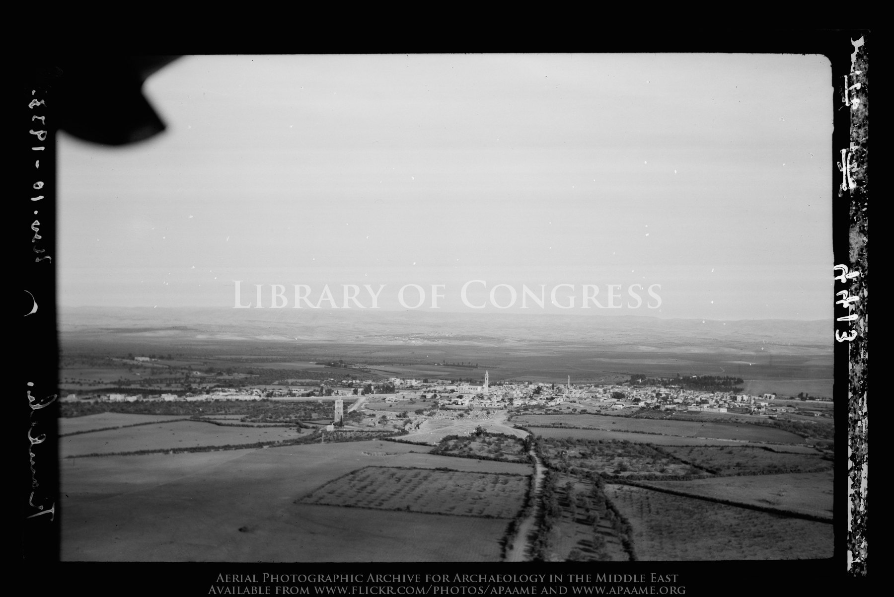
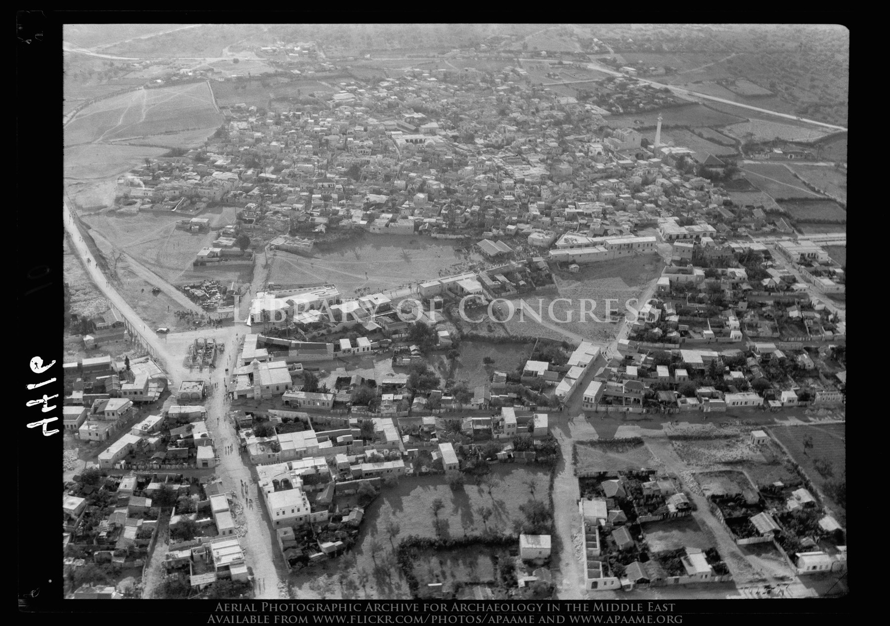
Ramleh. Arimathea. A general view showing the Saracenic tower of "forty martyrs"
Hulda scenic views-008
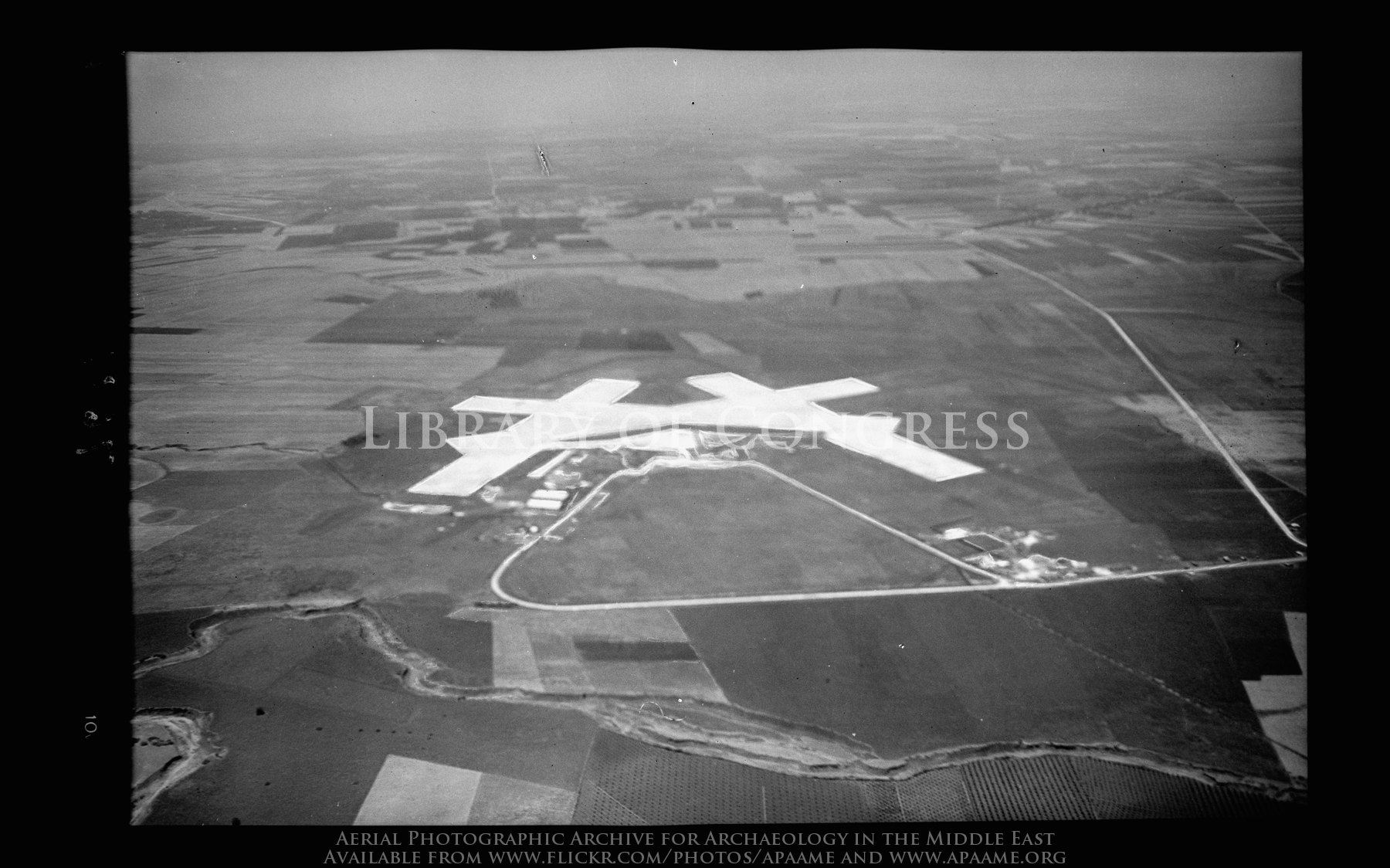
Lydda Air Terminus (now Ben-Gurion Airport)
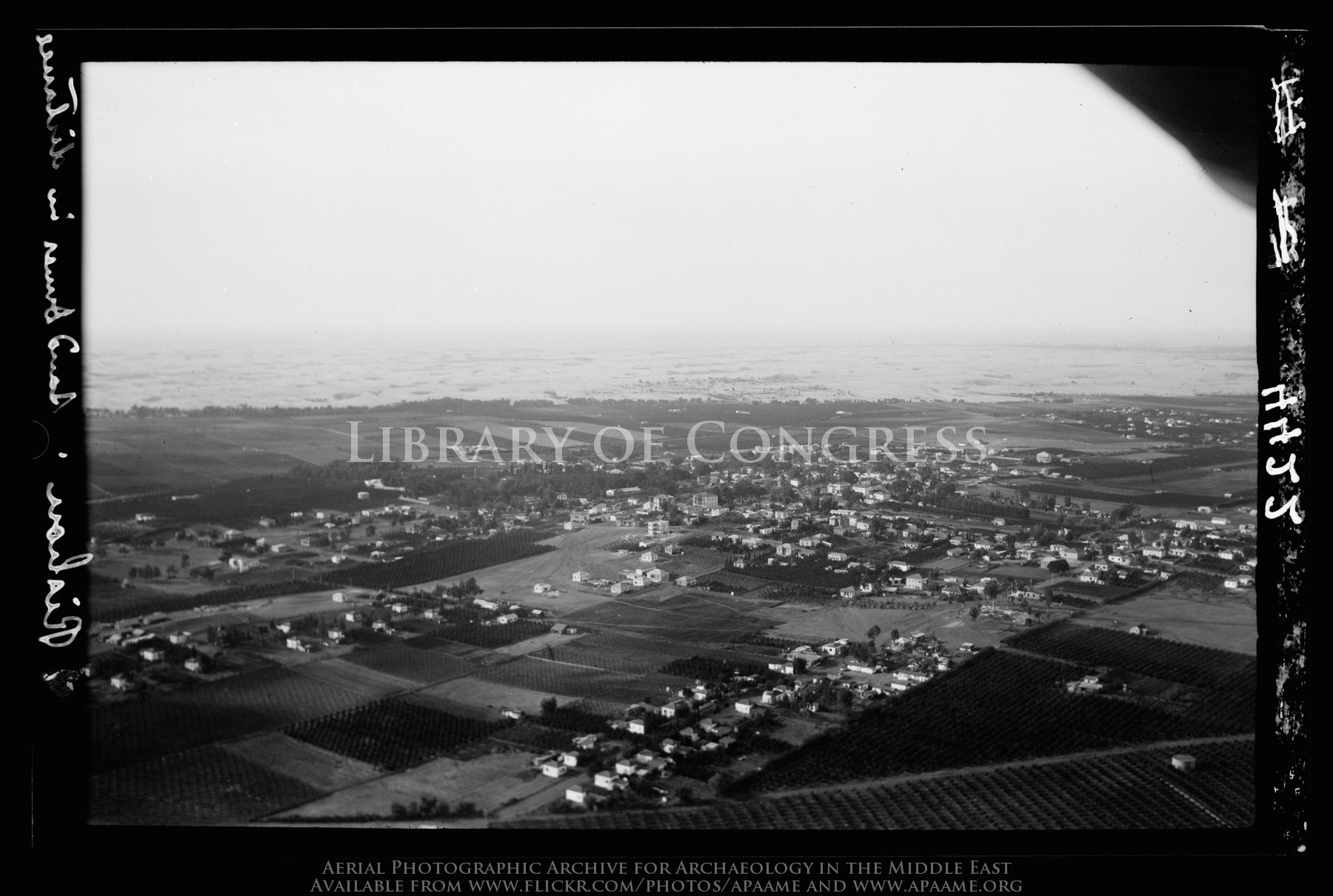
Rishon. Showing encroaching sands from the sea
Lydda. The Palestine R.R. [i.e., Railroad] Junction

1. landing
Sunset from my Backyard

Under The Bridge

African Babul Blue - Azanus jesous
זריחה מעל העיר מודיעין

Good Morning, Sunshine

זהר בדשא

Ein Gedi I
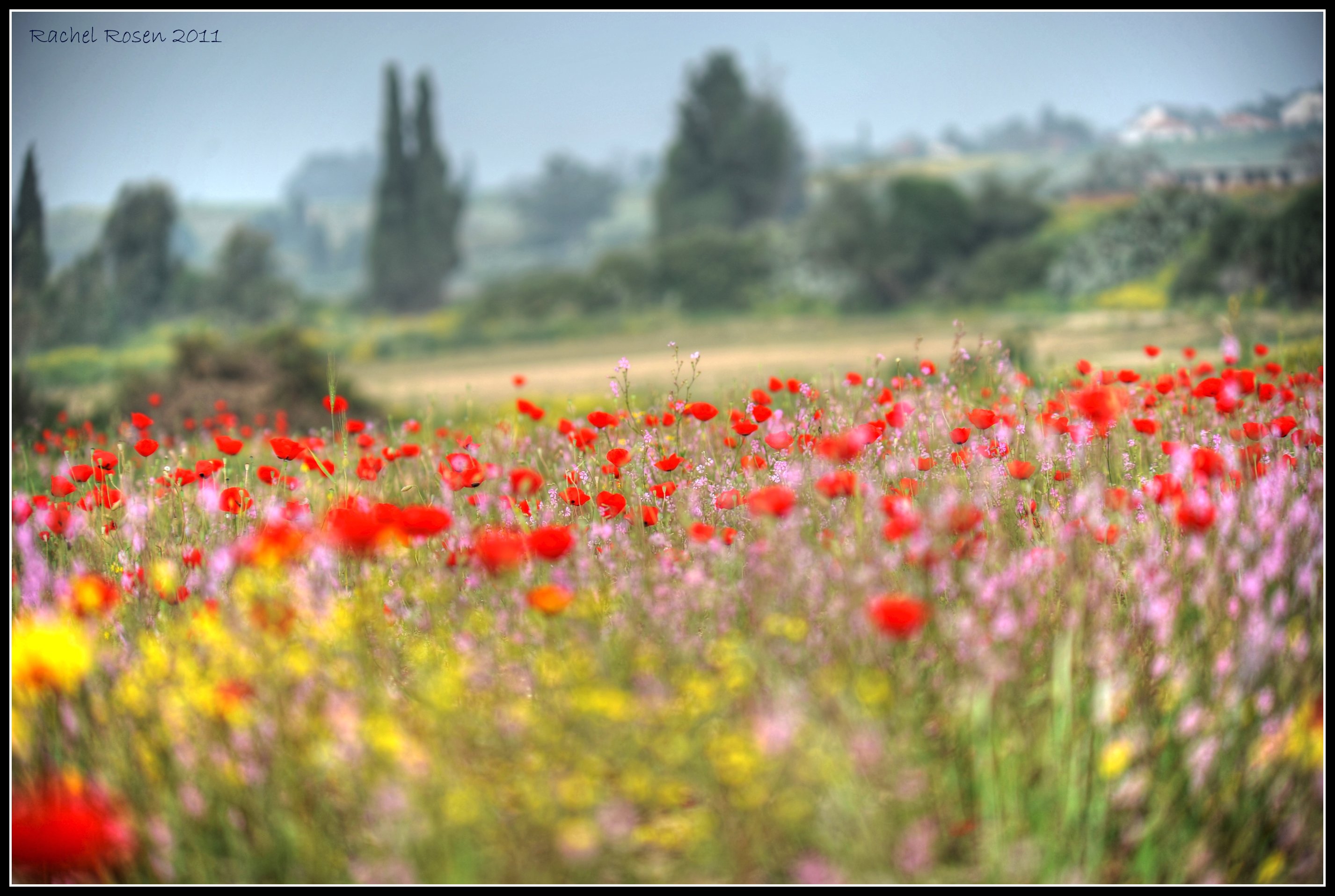
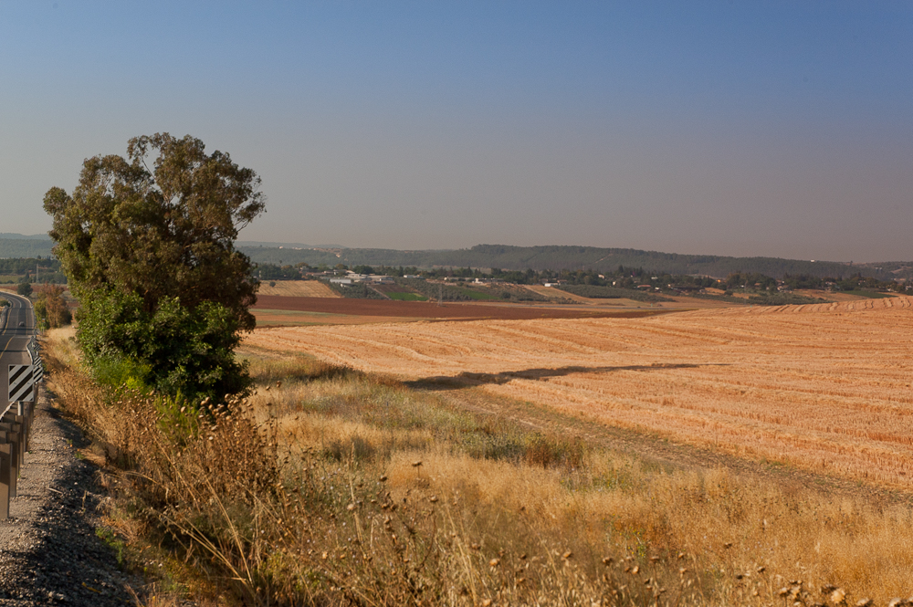
Wild flowers field - Road 40
vola amb mi
_MG_1446_DxO.jpg
the very end of Rishon Le Zion
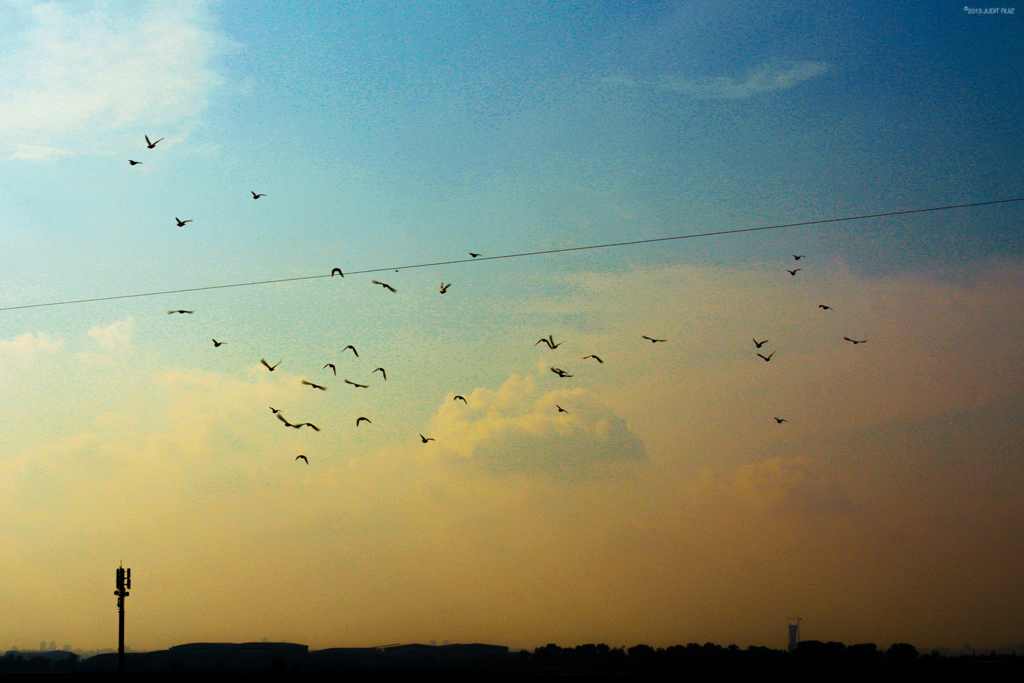
The eye in the sky
This is all #yellow

Sunset shoot at Anava Park

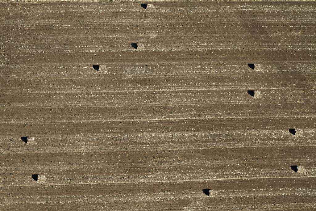
Sky & Ground

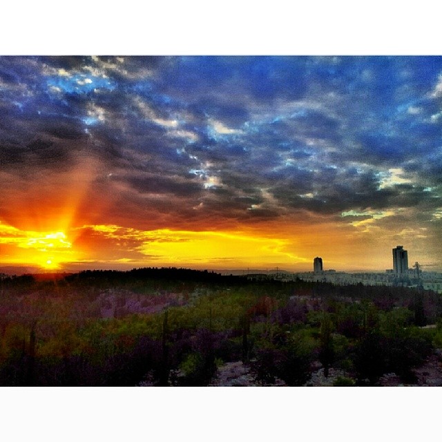
Burning Sky

Gorgeous skies this morning... Love the #cloud formation. Taken with #vscocam.
Topographic Map of Gezer, Israel
Find elevation by address:

Places near Gezer, Israel:
52, Hulda, Israel
Hulda
Na'an
Ramla
Center District
Ezor Lod
Ramla
Calgary Street
Mazkeret Batya
Modi'in-maccabim-re'ut
Jacob's Well Cycle
Be'er Ya'akov
Rehovot
Volcani Building
Modi'in Ilit
Neve Tzion Street
Bil'in
Ma'ale Hahamisha
Recent Searches:
- Elevation of W Granada St, Tampa, FL, USA
- Elevation of Pykes Down, Ivybridge PL21 0BY, UK
- Elevation of Jalan Senandin, Lutong, Miri, Sarawak, Malaysia
- Elevation of Bilohirs'k
- Elevation of 30 Oak Lawn Dr, Barkhamsted, CT, USA
- Elevation of Luther Road, Luther Rd, Auburn, CA, USA
- Elevation of Unnamed Road, Respublika Severnaya Osetiya — Alaniya, Russia
- Elevation of Verkhny Fiagdon, North Ossetia–Alania Republic, Russia
- Elevation of F. Viola Hiway, San Rafael, Bulacan, Philippines
- Elevation of Herbage Dr, Gulfport, MS, USA