Elevation of Cemetery Rd, Arlington, WA, USA
Location: United States > Washington > Snohomish County > Arlington >
Longitude: -122.15420
Latitude: 48.178298
Elevation: 13m / 43feet
Barometric Pressure: 101KPa
Elevation Map:
Satellite Map:
Related Photos:
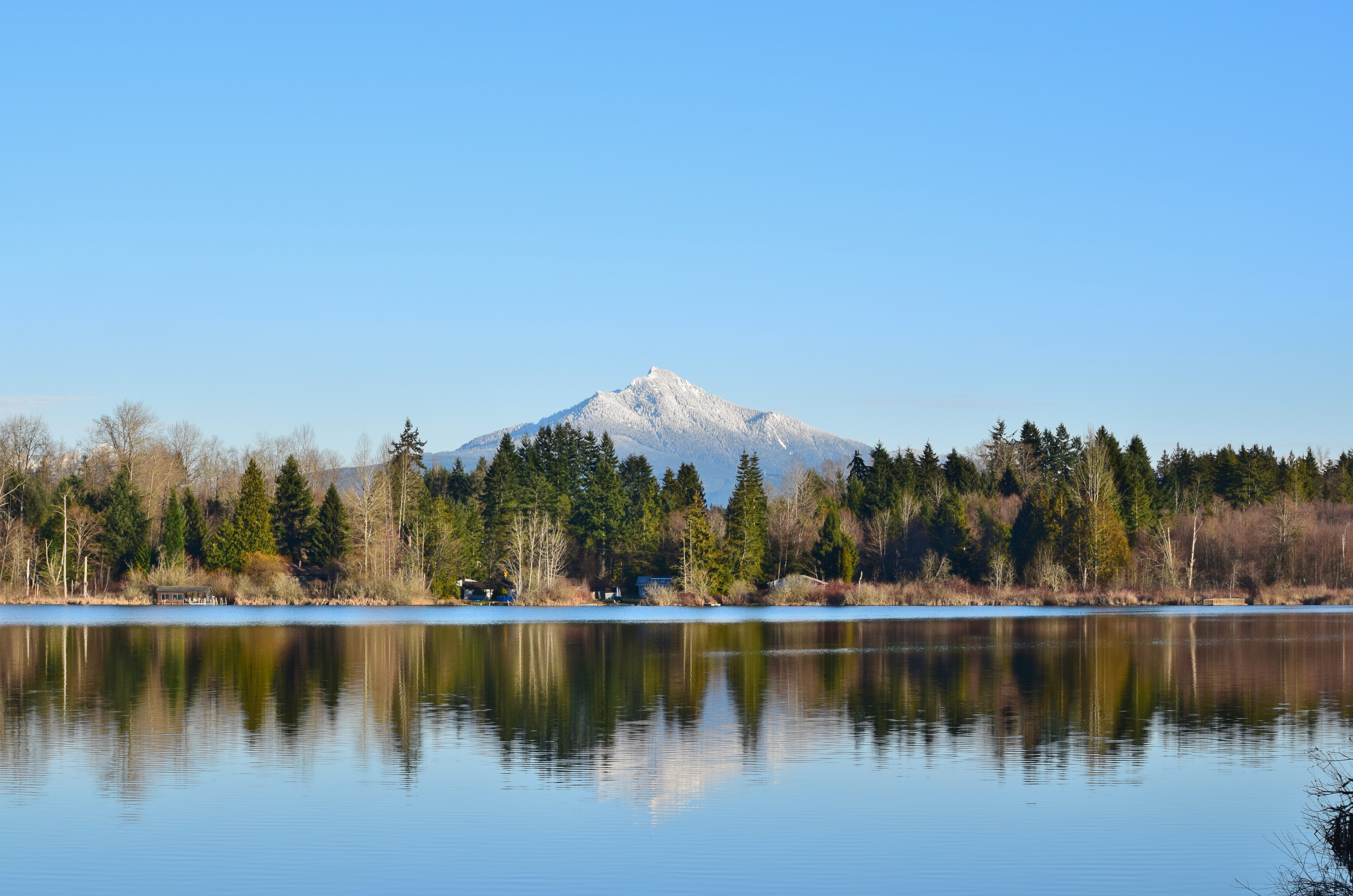
Lake Cassidy WA
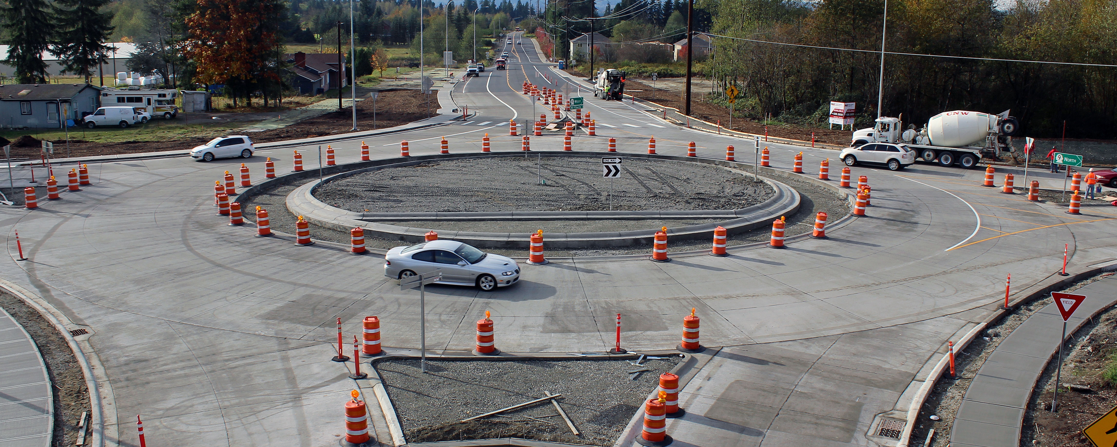
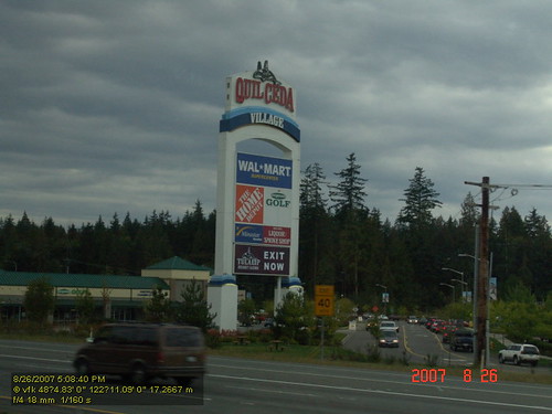
New SR 9 roundabout in Arlington
Aerial view: Orange barrels guide drivers through new SR 9 roundabout
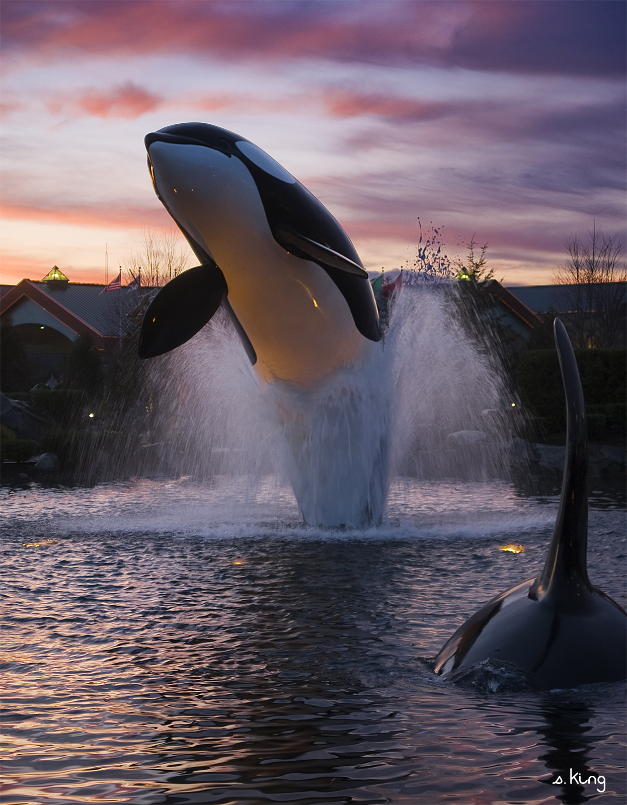
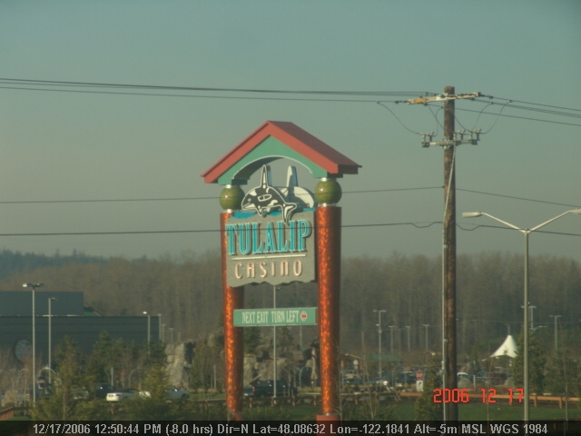
Tulalip Whale
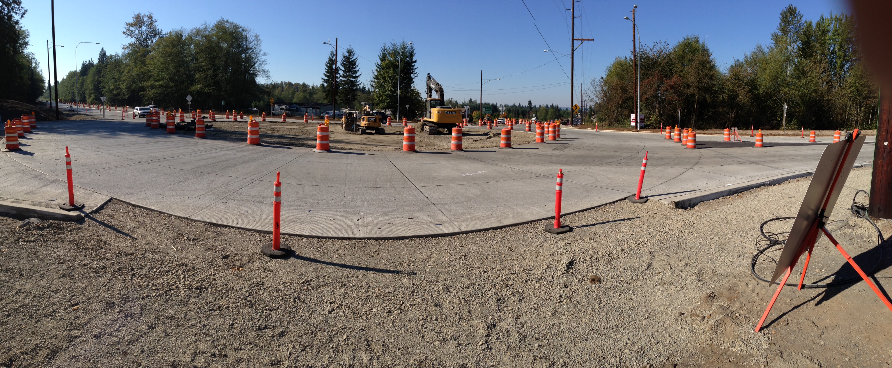
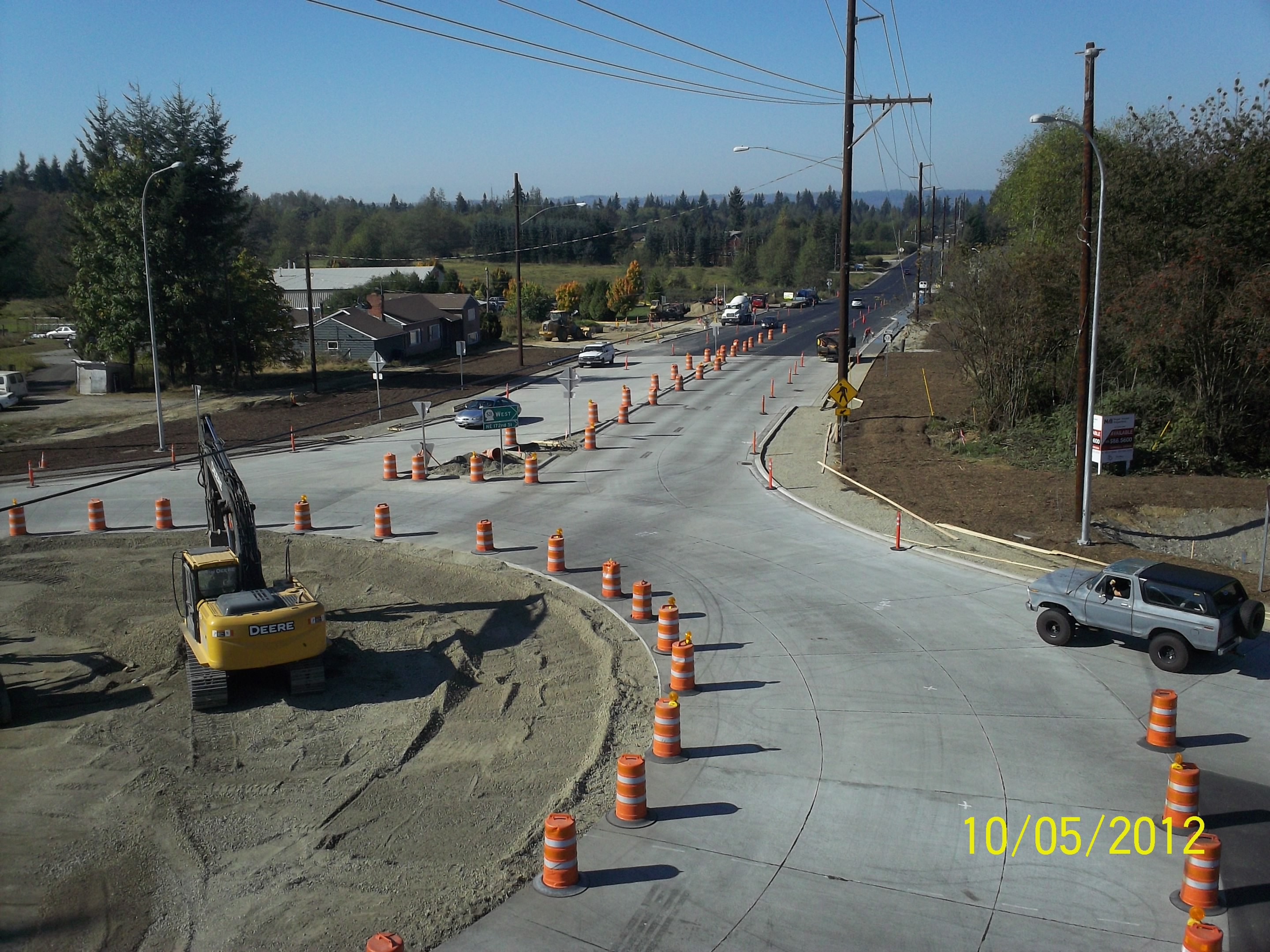
Panoramic view of new SR 9 roundabout

Diamond T Flatbed ( Explored ).
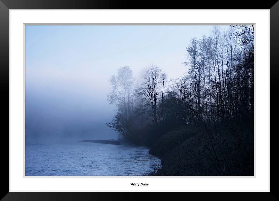
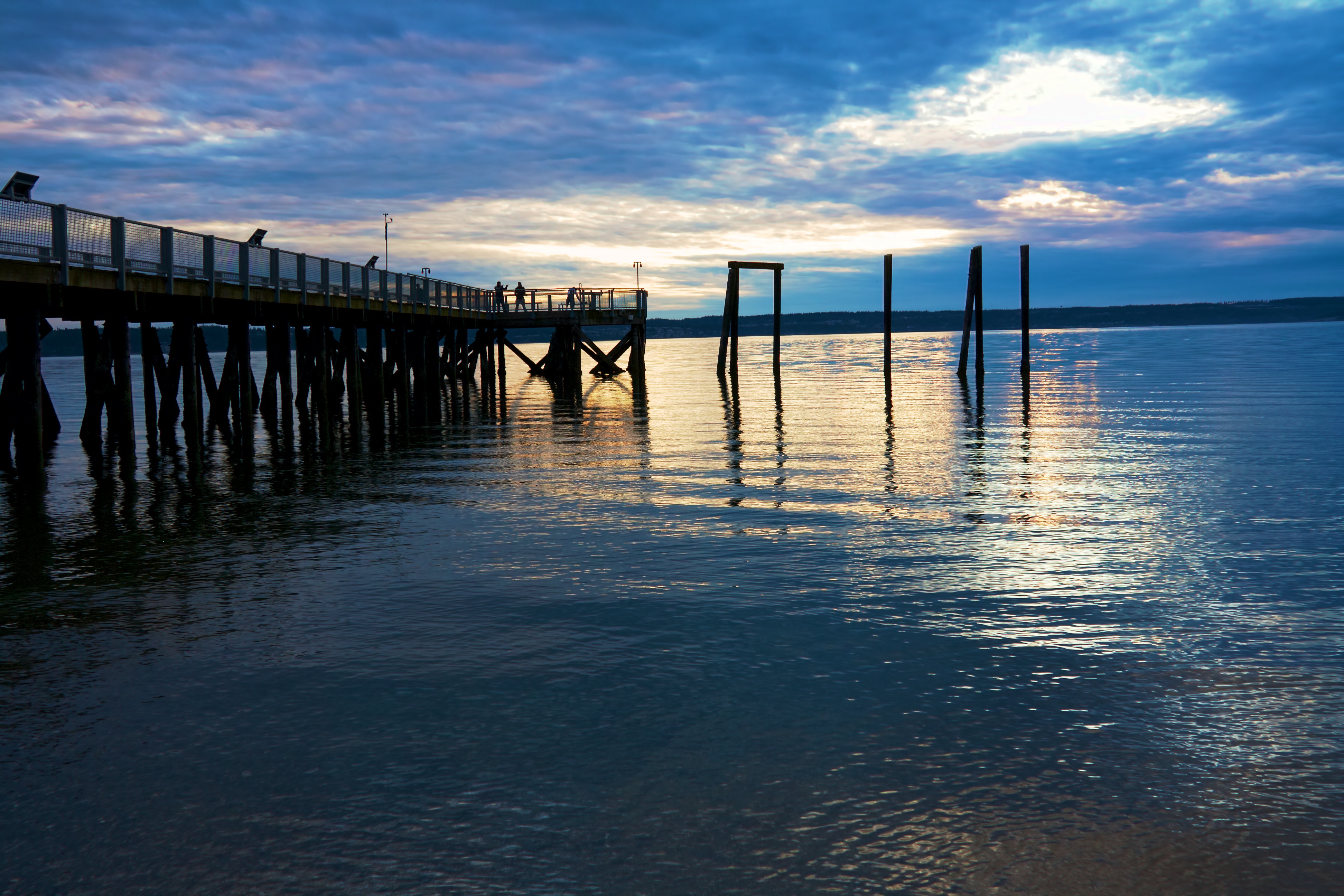
Misty Stilly
LV1293DSC00676.JPG
LV1286DSC00669.JPG

Morning Time

Dog's Eye View.
LV1312DSC00695.JPG
LV1281DSC00664.JPG
DSC06167.JPG
DSC06275.JPG
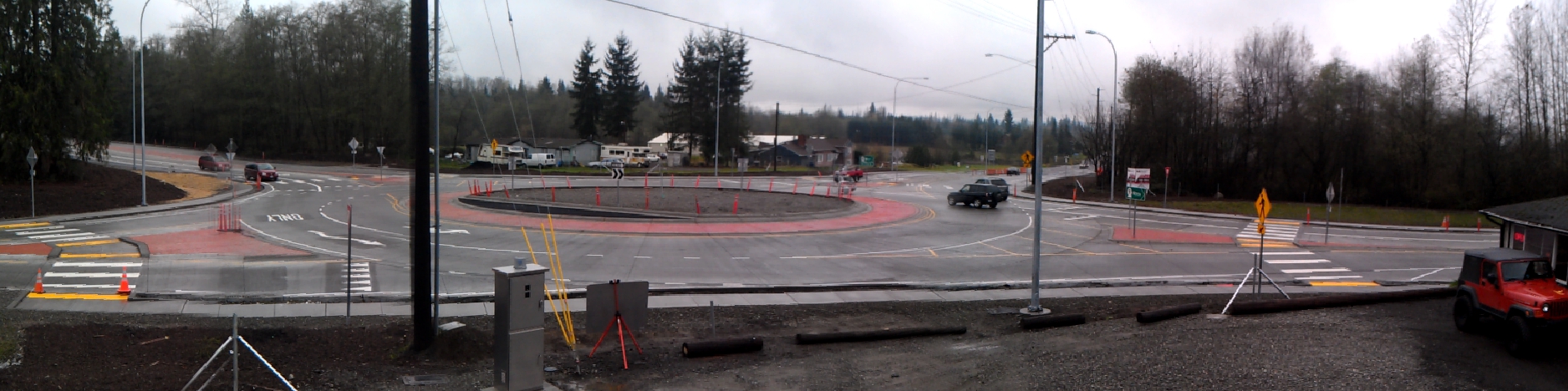
Panoramic view of new SR 9 roundabout in Arlington
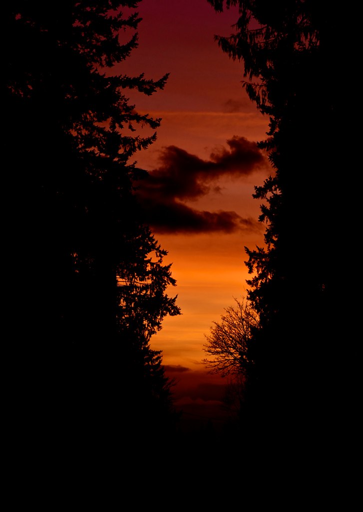
Sunset through the trees
LV1282DSC00665.JPG
LV1284DSC00667.JPG
DSC06272.JPG
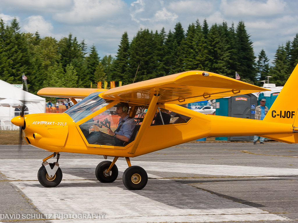
2011 KGA Foxbat A22 C-IJOF

Calm Stilly

Washington state

Barn in the Mist

Arlington field in the morning
There's a storm a brewin'

Angry cloud

2012-09-11__IMG0826 6 images-Edit
Quilceda Creek at high tide
Sunset at Kayak

Shells on the Shore

A new day
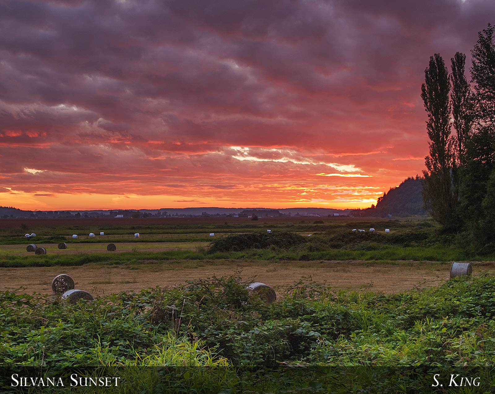
Silvana Sunset

Sunset over Lake Cassidy

Farmland & Mountains
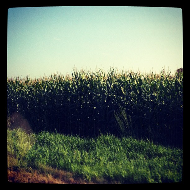
Passed a lot of these today to go see family. #corn #snohomishcounty

Fall Barn
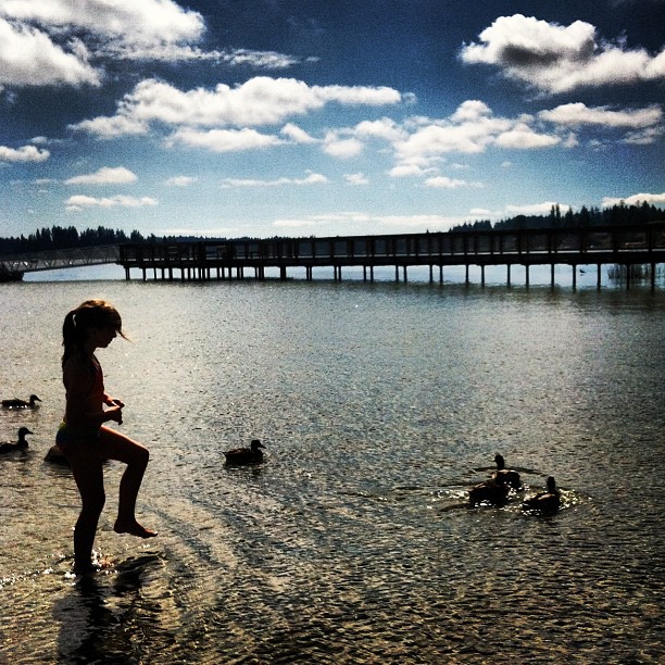
Stalking the #ducks at the #lake. #kids #laborday

2012-03-22__IMG3828-20_images_14

Daffodil Hill
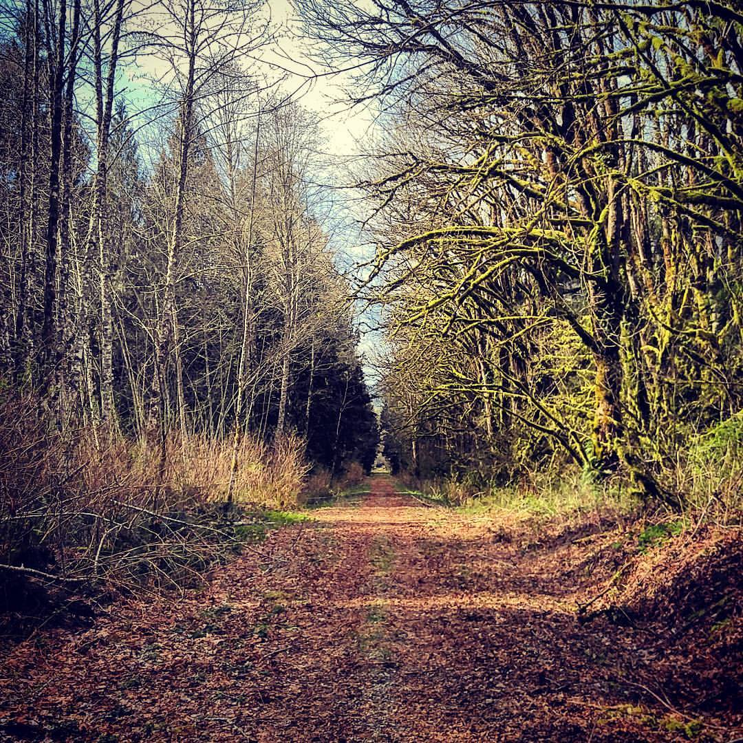
Out for a walk... #pnw

Mündung des Snohomish River
Topographic Map of Cemetery Rd, Arlington, WA, USA
Find elevation by address:

Places near Cemetery Rd, Arlington, WA, USA:
19727 51st Dr Ne
19228 46th Dr Ne
20129 43rd Ave Ne
19029 45th Dr Ne
19818 74th Ave Ne
7900 200th St Ne
7900 200th St Ne
19506 Knoll Dr
20503 Lois Ln
Haller Park
Arlington
24320 47th Ave Ne
Burn Road
24718 Wa-9
1210 E 5th St
24821 59th Ave Ne
3438 Stoluckquamish Ln
20312 97th Ave Ne
25421 70th Ave Ne
25727 44th Ave Ne
Recent Searches:
- Elevation of Congressional Dr, Stevensville, MD, USA
- Elevation of Bellview Rd, McLean, VA, USA
- Elevation of Stage Island Rd, Chatham, MA, USA
- Elevation of Shibuya Scramble Crossing, 21 Udagawacho, Shibuya City, Tokyo -, Japan
- Elevation of Jadagoniai, Kaunas District Municipality, Lithuania
- Elevation of Pagonija rock, Kranto 7-oji g. 8"N, Kaunas, Lithuania
- Elevation of Co Rd 87, Jamestown, CO, USA
- Elevation of Tenjo, Cundinamarca, Colombia
- Elevation of Côte-des-Neiges, Montreal, QC H4A 3J6, Canada
- Elevation of Bobcat Dr, Helena, MT, USA