Elevation of Burn Road, Burn Rd, Arlington, WA, USA
Location: United States > Washington > Snohomish County > Arlington >
Longitude: -122.11260
Latitude: 48.1771645
Elevation: 123m / 404feet
Barometric Pressure: 100KPa
Elevation Map:
Satellite Map:
Related Photos:
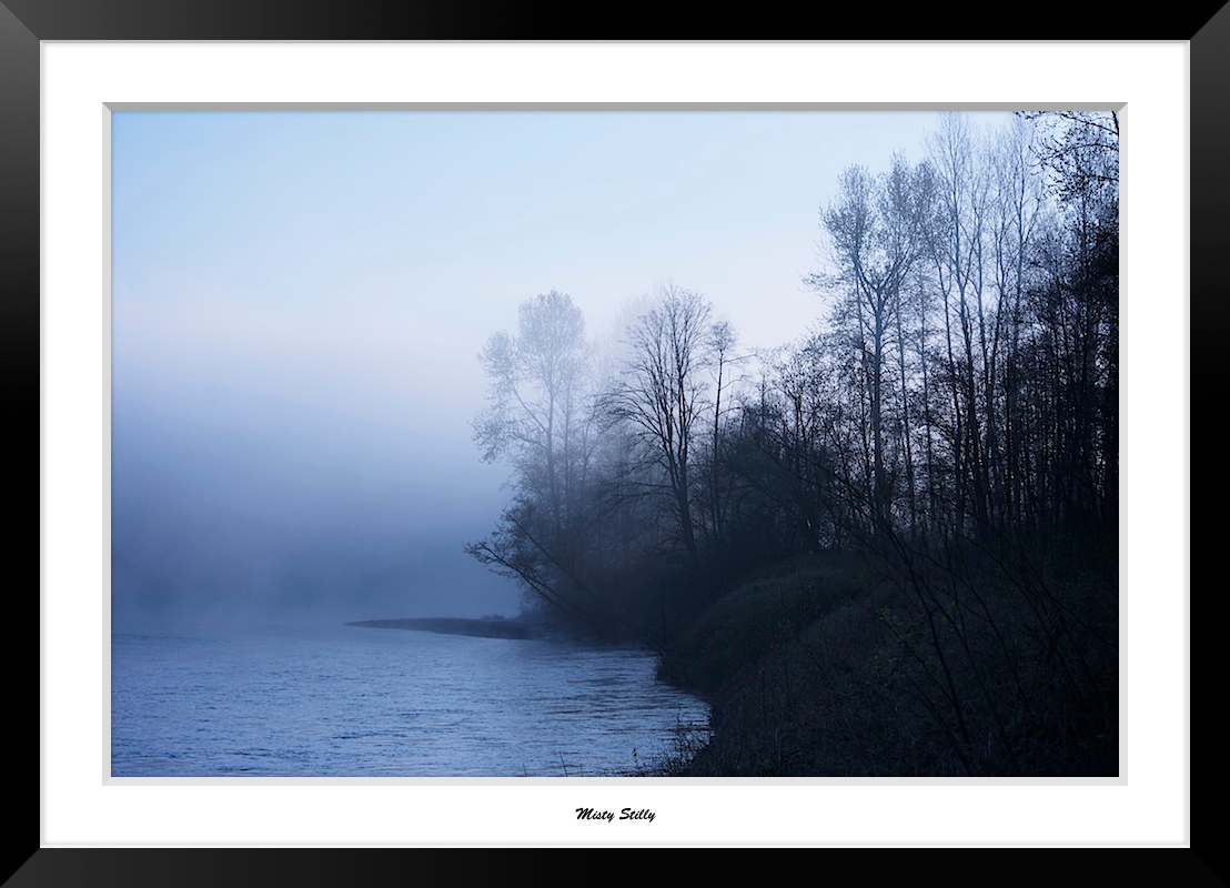
Misty Stilly

Pilchuck's Alpenglow
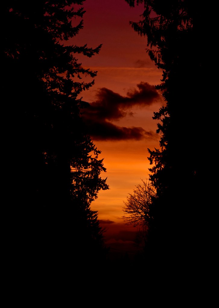
Sunset through the trees
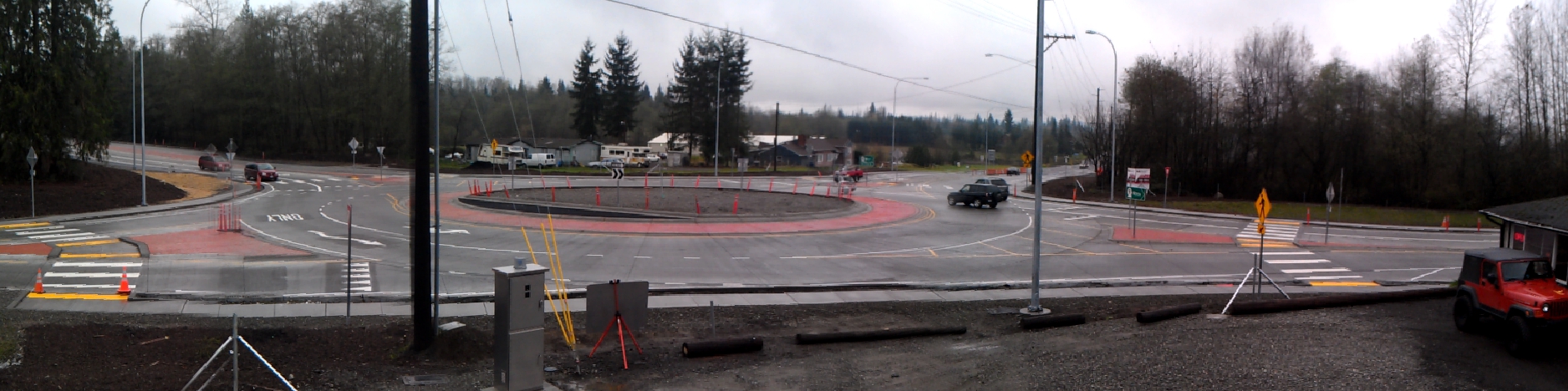
Panoramic view of new SR 9 roundabout in Arlington
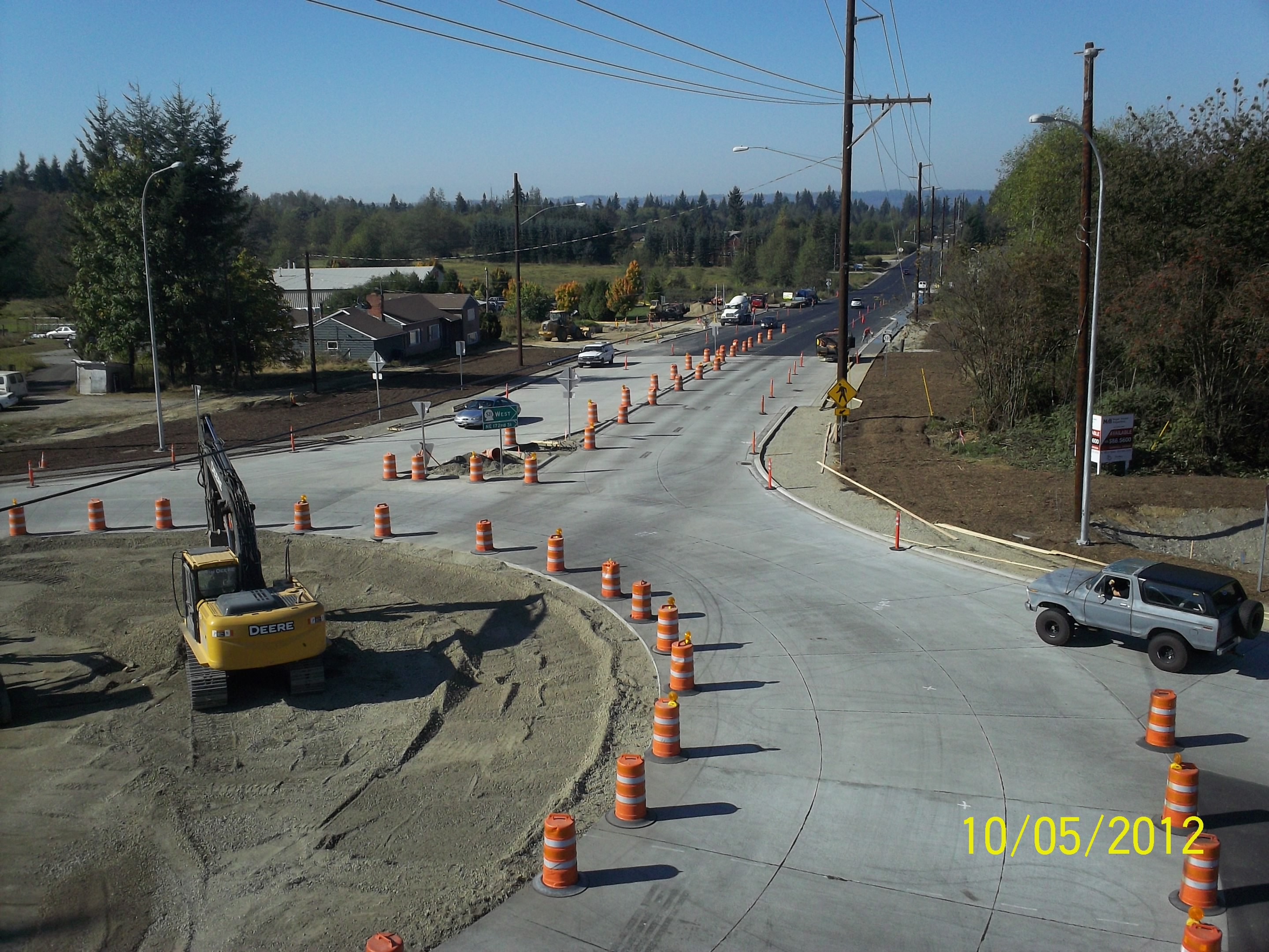
Aerial view: Orange barrels guide drivers through new SR 9 roundabout
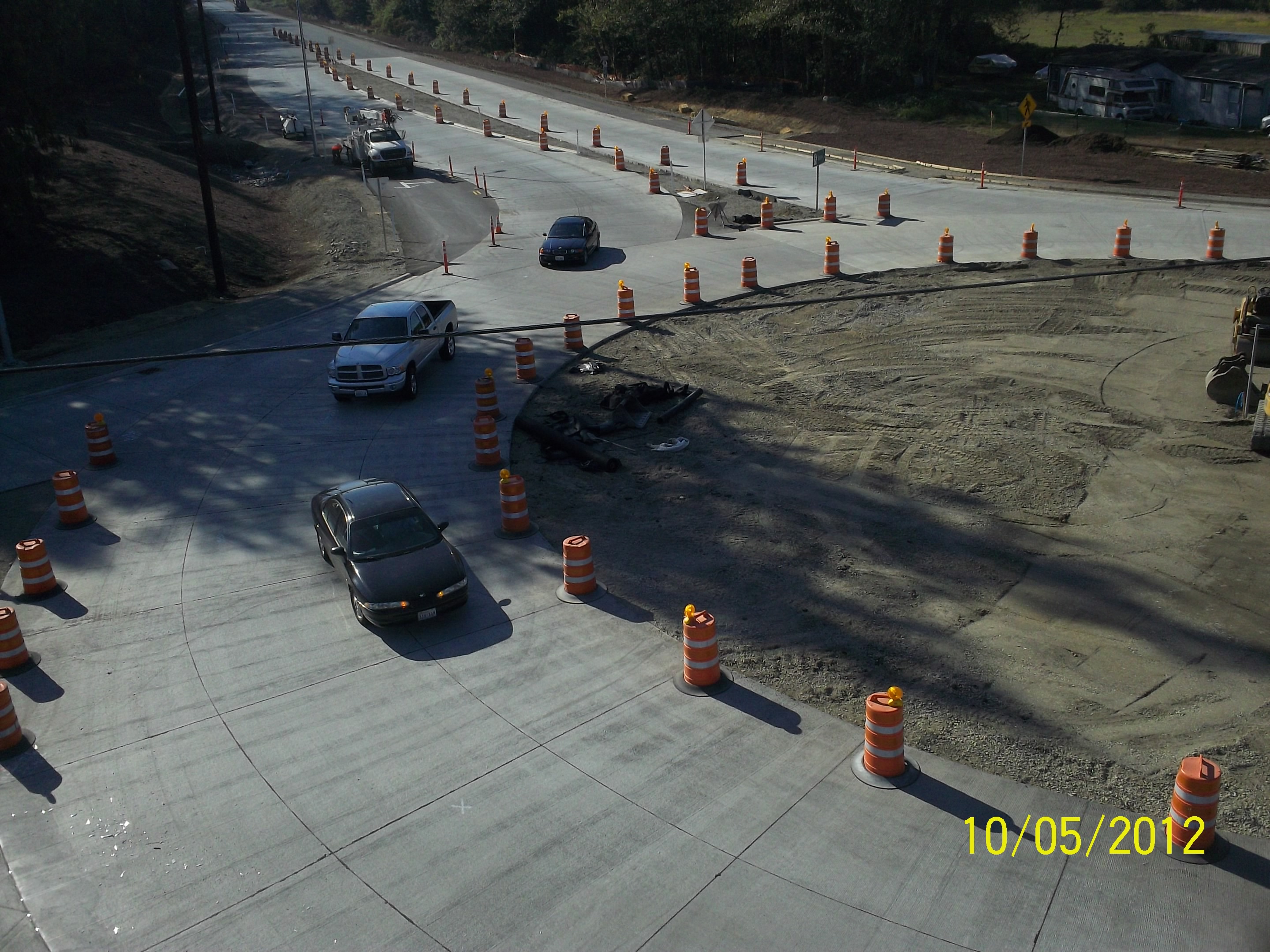
Aerial view: Traffic drives through new SR 9 roundabout
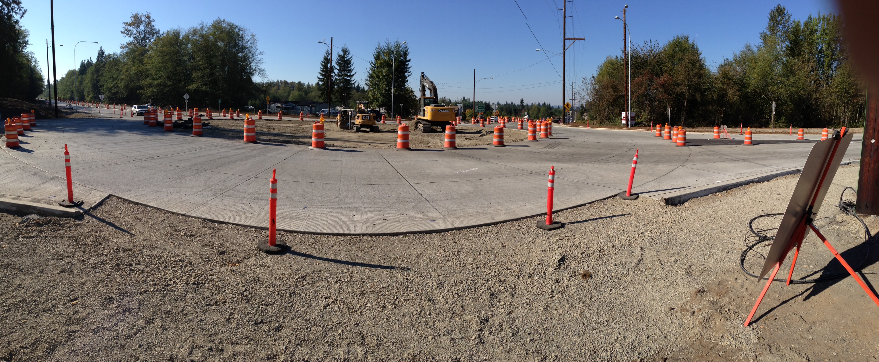
Panoramic view of new SR 9 roundabout

Aerial view: Roundabout open but construction continues

Diamond T Flatbed ( Explored ).

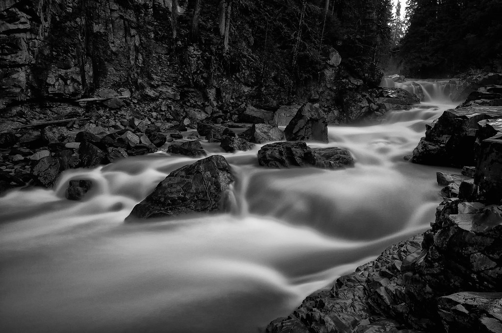
The river wild
Granite in Gray

Dog's Eye View.
LV1293DSC00676.JPG
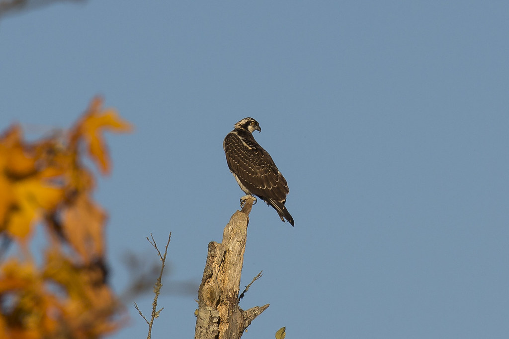
Osprey (3793) (eBird Rarity)
DSC06167.JPG
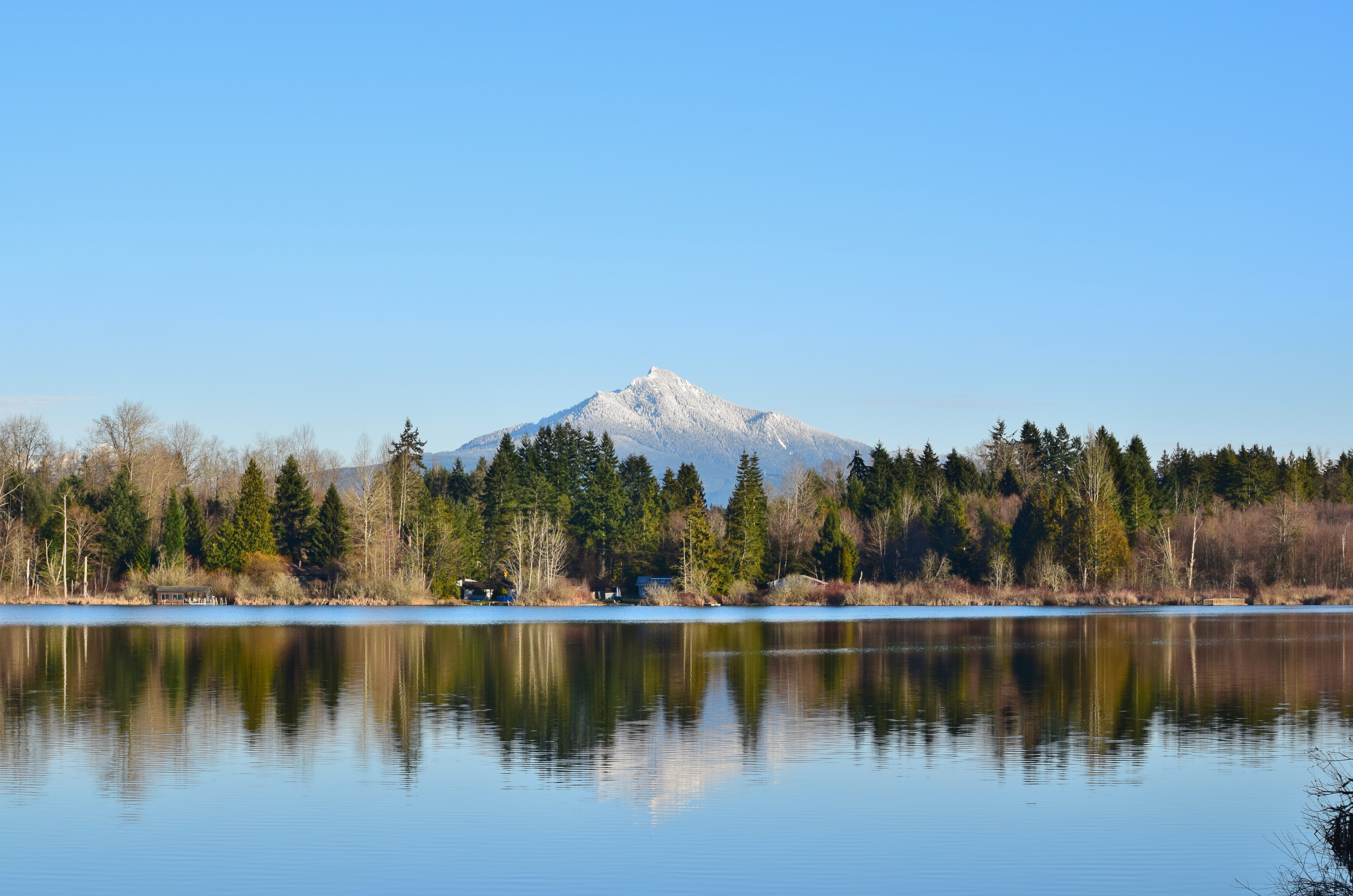
Lake Cassidy WA
DSC06275.JPG
LV1312DSC00695.JPG
LV1282DSC00665.JPG
Details Home Decor & Gifts
2011 KGA Foxbat A22 C-IJOF
Nature's Foggy Mirror

Good Morning, Mountain
Watercolor photo

Angry cloud

Tulips Sunrise

Cold but sunny!!
Amazing natural wood formations / texture

Nakashima Barn Star Trail
Smokey Point
misty walk

Granite Falls
Big ol caves.
Quilceda Creek at high tide

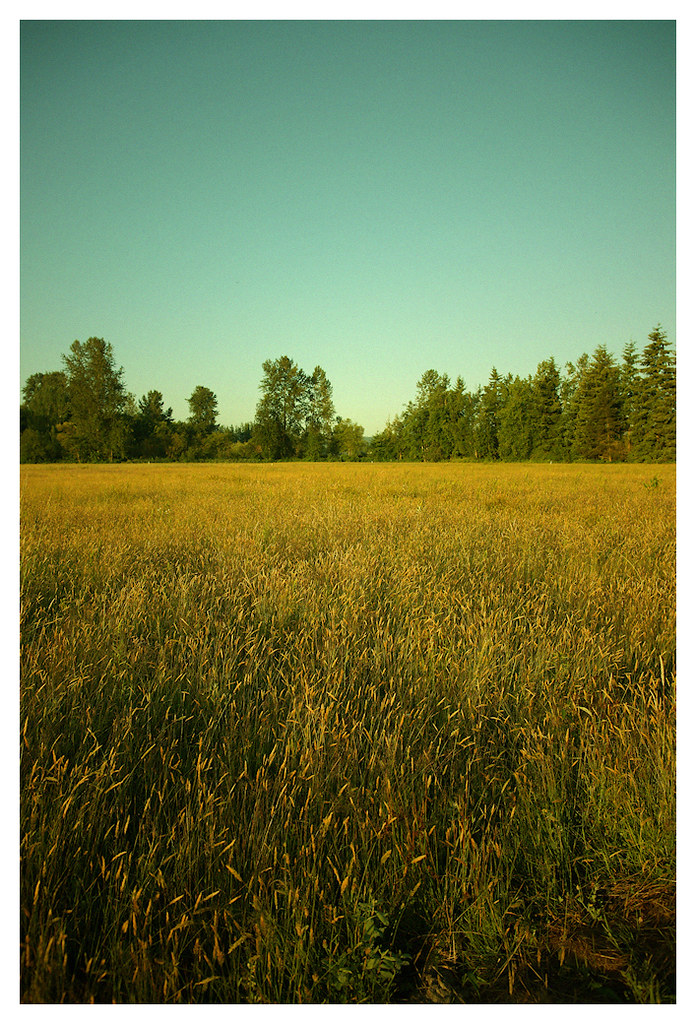
Arlington field in the morning
Traveling Toward the Sun
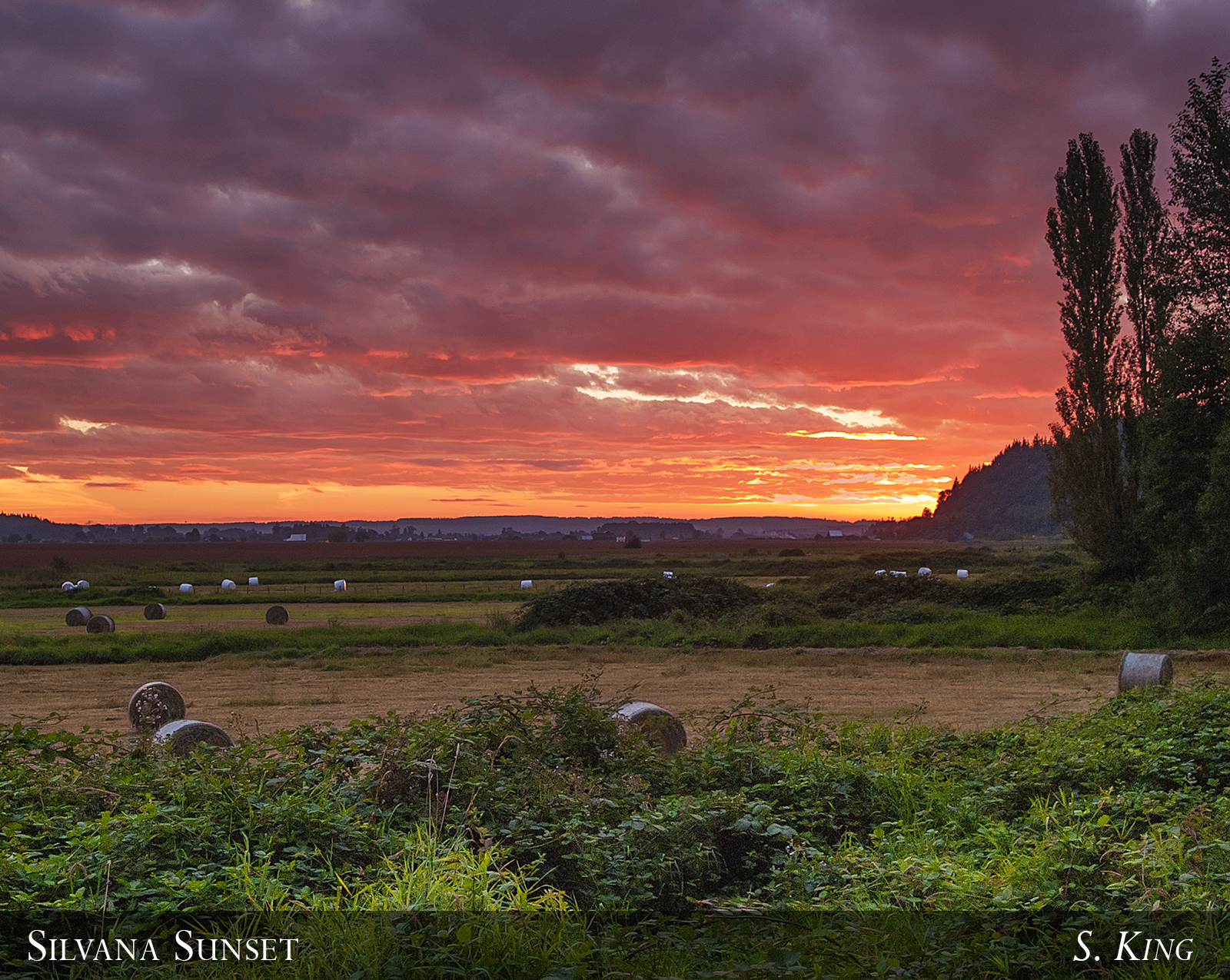
Silvana Sunset

Sunset over Lake Cassidy
Smokey Point
Smokey Point
Topographic Map of Burn Road, Burn Rd, Arlington, WA, USA
Find elevation by address:

Places near Burn Road, Burn Rd, Arlington, WA, USA:
20503 Lois Ln
20312 97th Ave Ne
19506 Knoll Dr
20313 97th Ave Ne
7900 200th St Ne
7900 200th St Ne
19818 74th Ave Ne
1210 E 5th St
10208 190th St Ne
Arlington
Haller Park
10915 Moran Rd
18711 Zaretzke Rd
10825 Homestead Rd
19110 106th Ave Ne
5427 Cemetery Rd
10932 233rd St Ne
24718 Wa-9
19727 51st Dr Ne
25421 70th Ave Ne
Recent Searches:
- Elevation of Tenjo, Cundinamarca, Colombia
- Elevation of Côte-des-Neiges, Montreal, QC H4A 3J6, Canada
- Elevation of Bobcat Dr, Helena, MT, USA
- Elevation of Zu den Ihlowbergen, Althüttendorf, Germany
- Elevation of Badaber, Peshawar, Khyber Pakhtunkhwa, Pakistan
- Elevation of SE Heron Loop, Lincoln City, OR, USA
- Elevation of Slanický ostrov, 01 Námestovo, Slovakia
- Elevation of Spaceport America, Co Rd A, Truth or Consequences, NM, USA
- Elevation of Warwick, RI, USA
- Elevation of Fern Rd, Whitmore, CA, USA