Elevation of Cedar Dr, Mar, ON N0H 1X0, Canada
Location: Canada > Ontario > South Bruce Peninsula >
Longitude: -81.294160
Latitude: 44.7950826
Elevation: 181m / 594feet
Barometric Pressure: 99KPa
Elevation Map:
Satellite Map:
Related Photos:

Follow The Leader
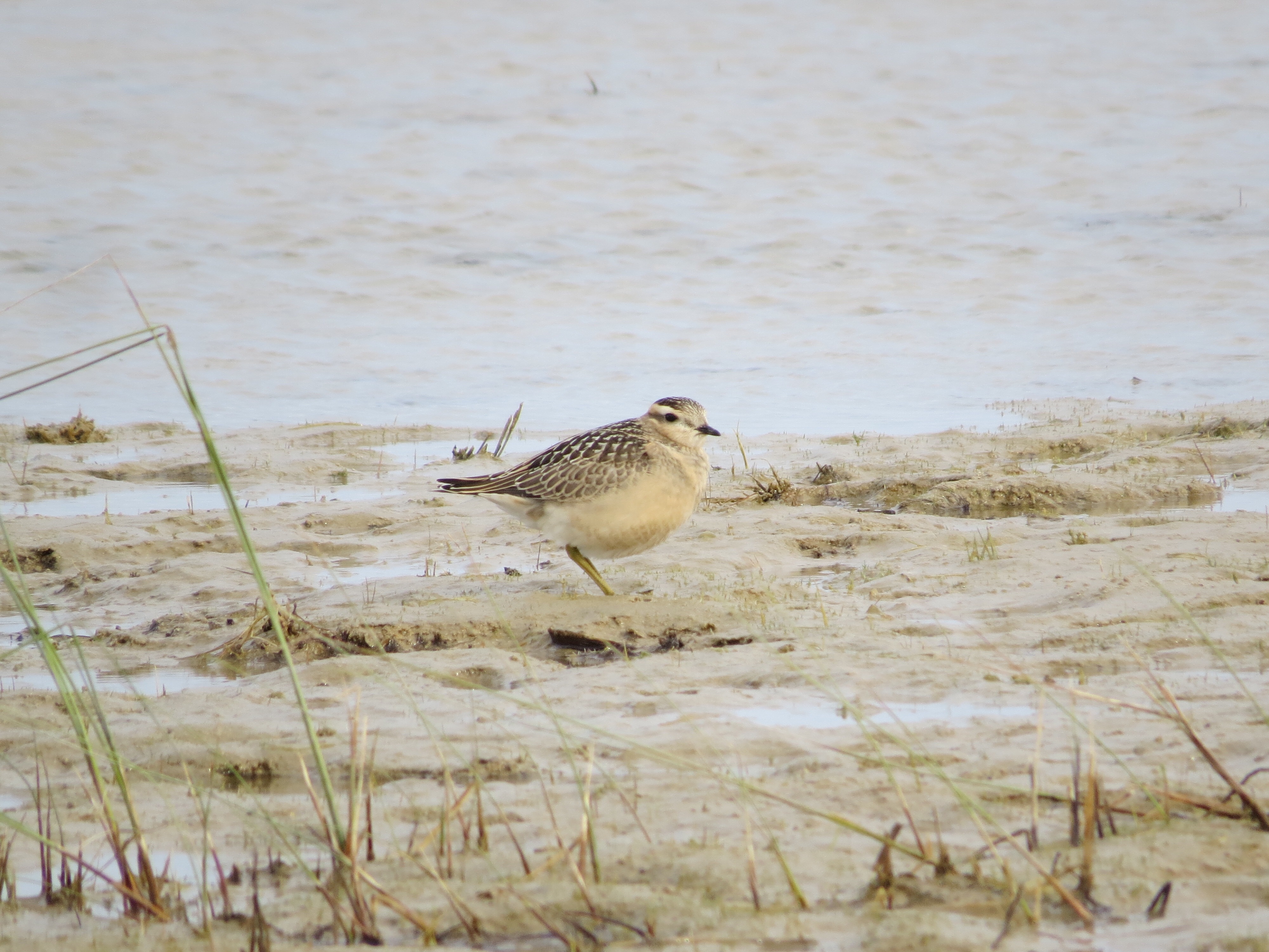
Eurasian Dotterel, Bruce Co., Ontario

Nature's Alley

how vast is my view (Explored)

Mr. Blue Bands

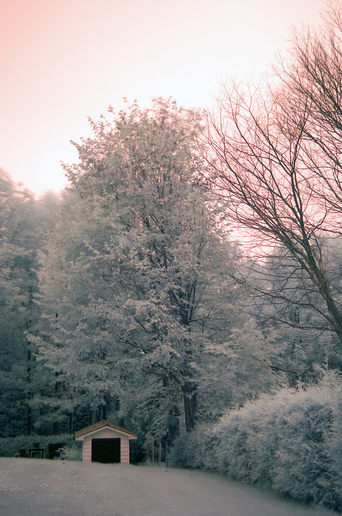
the land of dial-up & eternal sun

Stump World

Huron nights

good morning JUSTICE

Lazy Days Gone By

oliphant sunset

Side View Close-up

Side View

Upstream Bridge View

Full View

Rushing Down the River

Gay-wing Milkwort (Polygala paucifolia)

the view from Spindrift's deck

Wide View
Backyard view

View of Sauble Falls & River

kissed by Huron evermore

when Spindrift looks like a deserted island

Wiarton Willie

Twilight shores with reeds

our Lake Huron shoreline
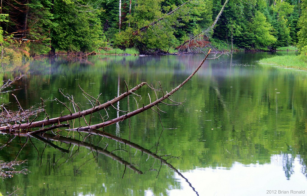
Rankin River

Let the sun shine (black and white)

Turbulence on Rocks, Lake Huron, Whiskey Harbour

Spindrift's firepit, with seats... or...

still waters run deep

Huron Shores

Sauble Beach, Ontario

Lake Huron blues

Colpoy's bay
Topographic Map of Cedar Dr, Mar, ON N0H 1X0, Canada
Find elevation by address:

Places near Cedar Dr, Mar, ON N0H 1X0, Canada:
83 Adelaide St, Mar, ON N0H 1X0, Canada
41 Tyson Ln
41 Tyson Ln
Howdenvale
35 Bay St, Wiarton, ON N0H 2T0, Canada
721 Pike Bay Rd
357 Pike Bay Rd
South Bruce Peninsula
1400 Sauble Falls Rd
1264 Sauble Falls Rd
N0h 1w0
460 Bruce County Rd 9
N0h 2t0
315 George St
Wiarton
47 Sauble Falls Pkwy
Sauble Beach
2837 On-6
2560 Bruce County Rd 9
ON-6, Wiarton, ON N0H 2T0, Canada
Recent Searches:
- Elevation of Congressional Dr, Stevensville, MD, USA
- Elevation of Bellview Rd, McLean, VA, USA
- Elevation of Stage Island Rd, Chatham, MA, USA
- Elevation of Shibuya Scramble Crossing, 21 Udagawacho, Shibuya City, Tokyo -, Japan
- Elevation of Jadagoniai, Kaunas District Municipality, Lithuania
- Elevation of Pagonija rock, Kranto 7-oji g. 8"N, Kaunas, Lithuania
- Elevation of Co Rd 87, Jamestown, CO, USA
- Elevation of Tenjo, Cundinamarca, Colombia
- Elevation of Côte-des-Neiges, Montreal, QC H4A 3J6, Canada
- Elevation of Bobcat Dr, Helena, MT, USA