Elevation of 35 Bay St, Wiarton, ON N0H 2T0, Canada
Location: Canada > Ontario > South Bruce Peninsula >
Longitude: -81.278591
Latitude: 44.7274257
Elevation: 177m / 581feet
Barometric Pressure: 99KPa
Elevation Map:
Satellite Map:
Related Photos:
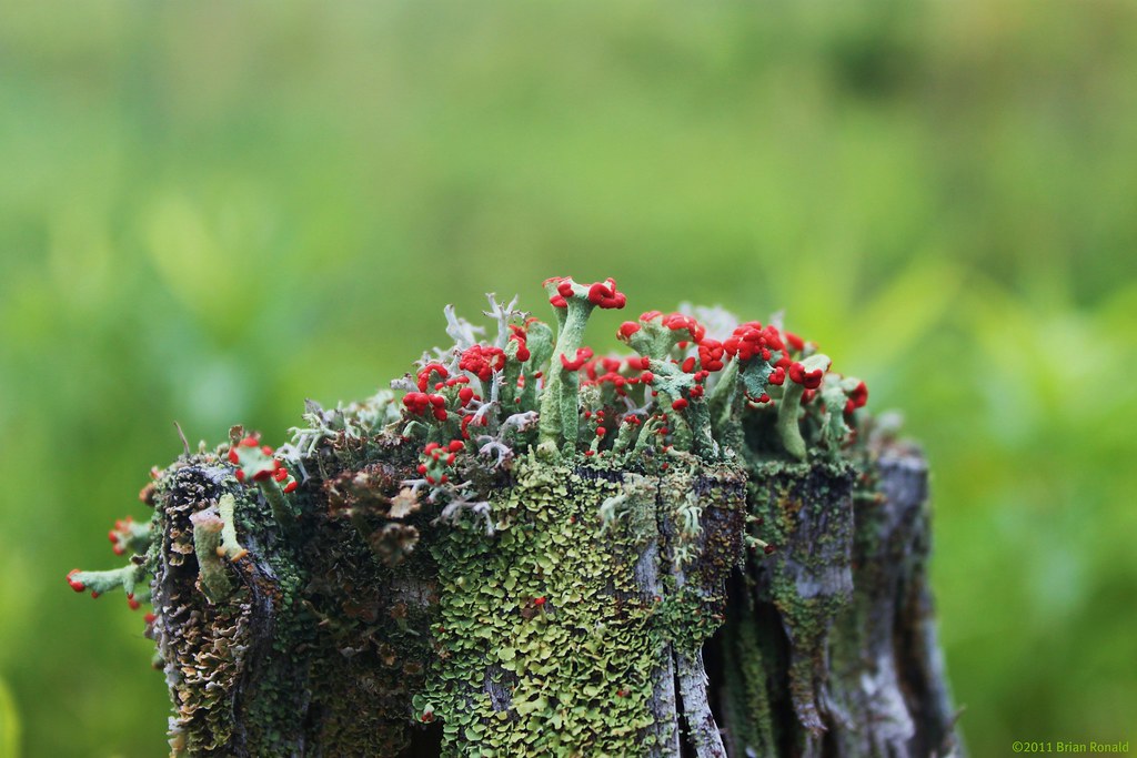
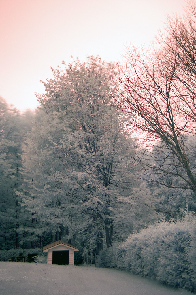
Stump World

Huron nights
Lazy Days Gone By

oliphant sunset
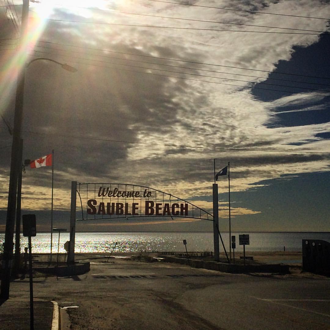
Can't beat the view :) #workperk OPEN this weekend 10-6 ???? #saublebeach

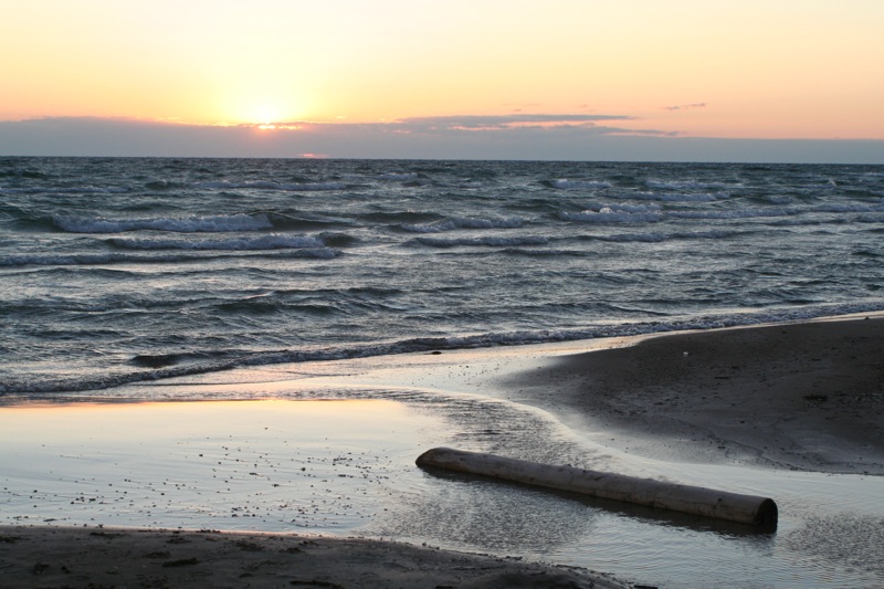
Sauble Sunset
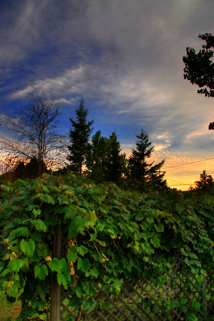
Sunset in My Mother's Summer Garden
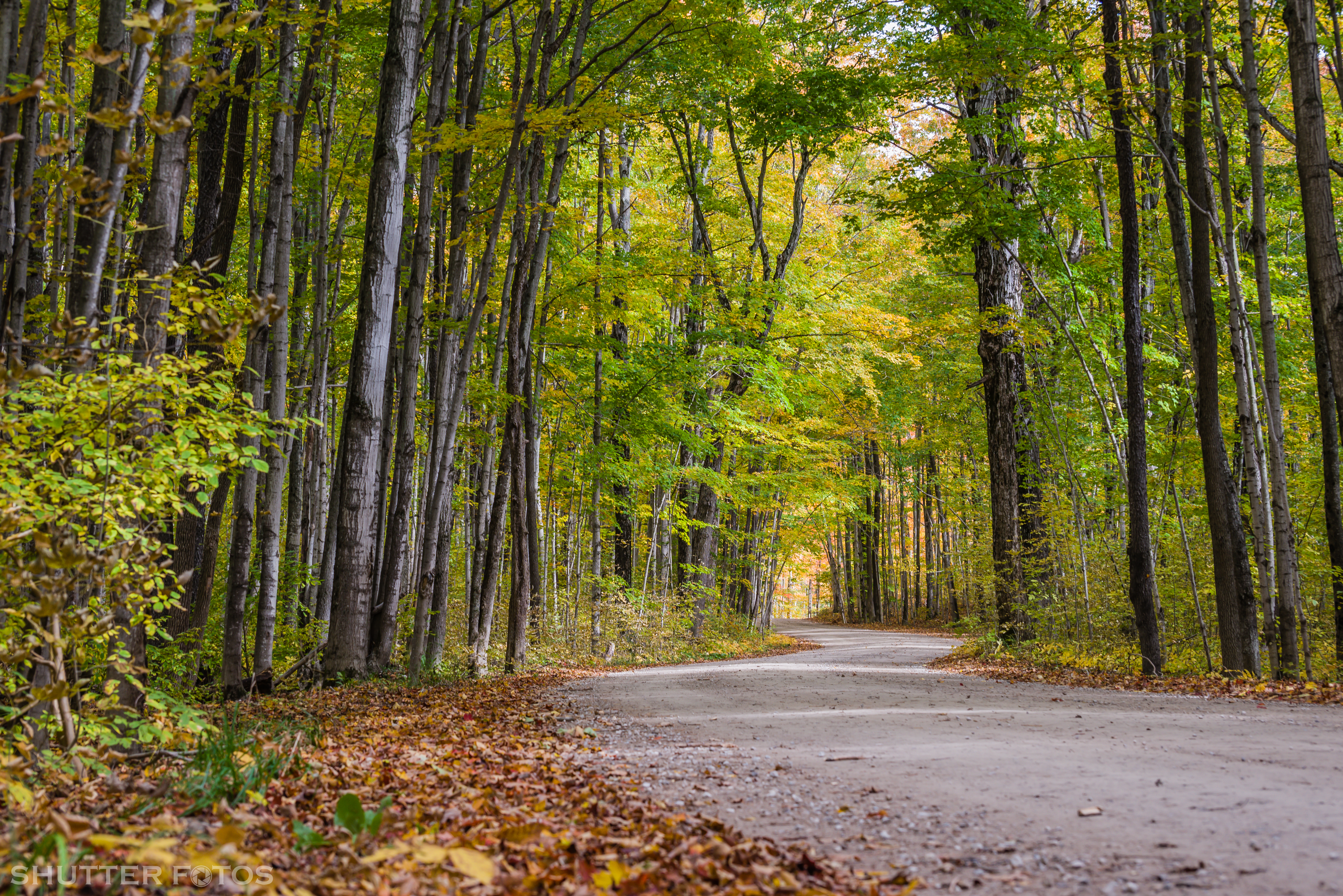
Nature's Alley

Shore Ice, Sauble Beach - (HDR/Tone-Mapped)
Rushing Down the River
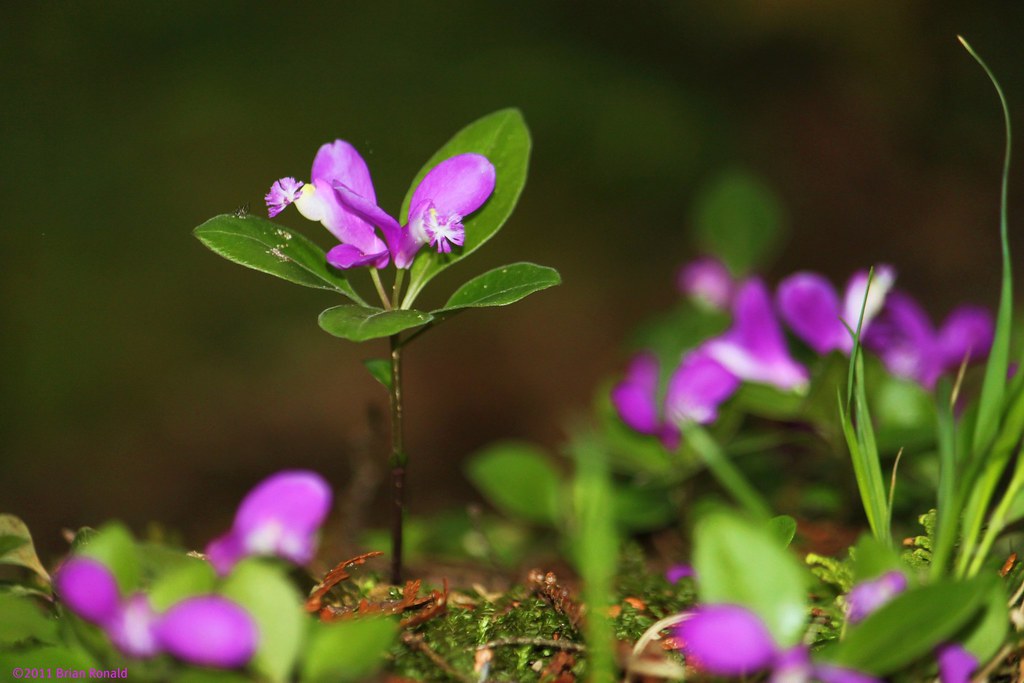
Gay-wing Milkwort (Polygala paucifolia)

Sauble Sunset

Don't let the sun go down on me...

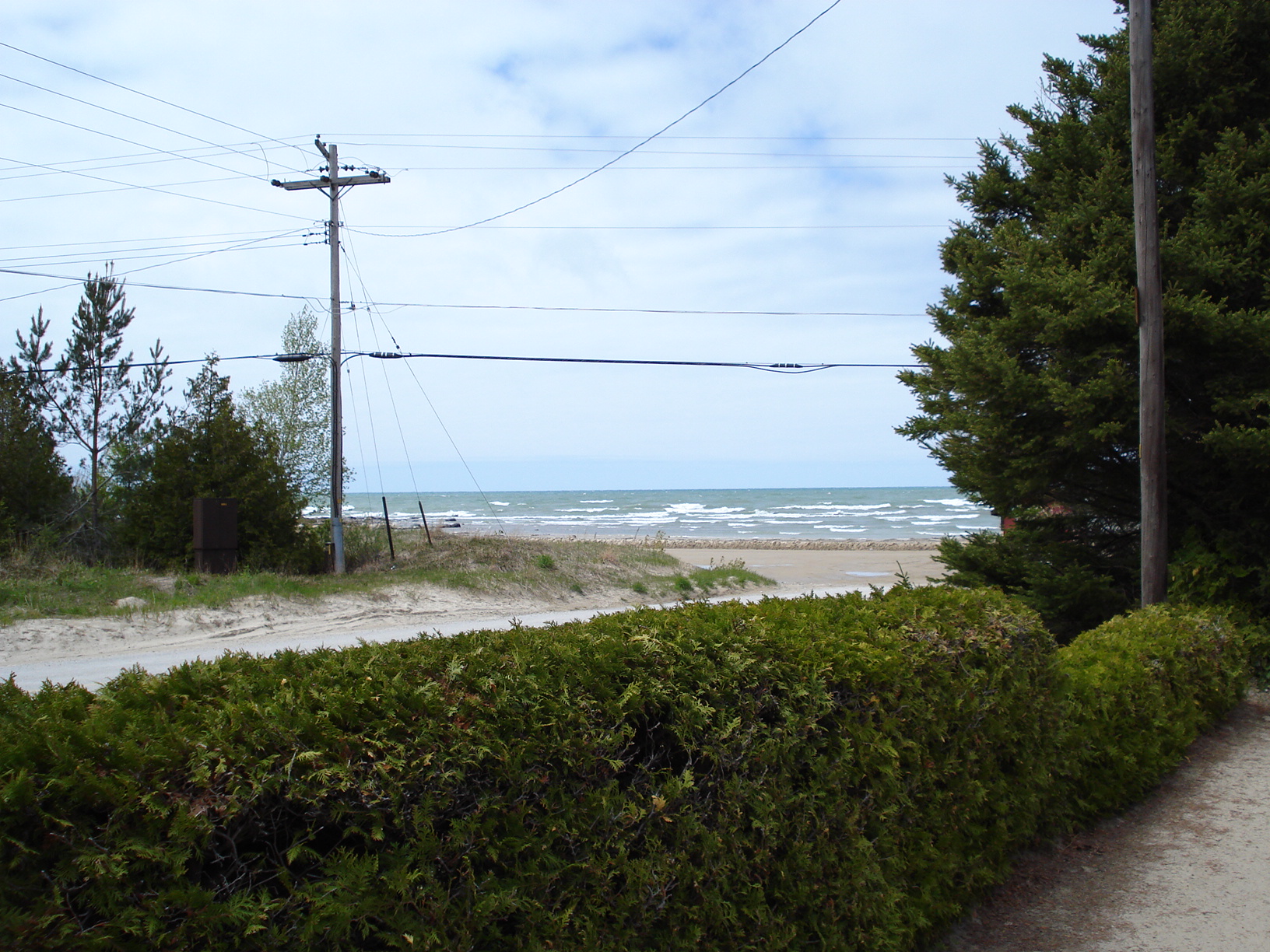
Not a bad view out the front door of the cottage we're staying in this week.
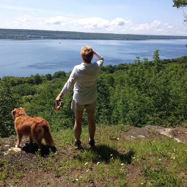
View of Lake Huron from cottage, summer 2008, II

French Fries??? IMG_7683
Backyard view

top view
View across Colpoy's Bay from The Bruce Trail
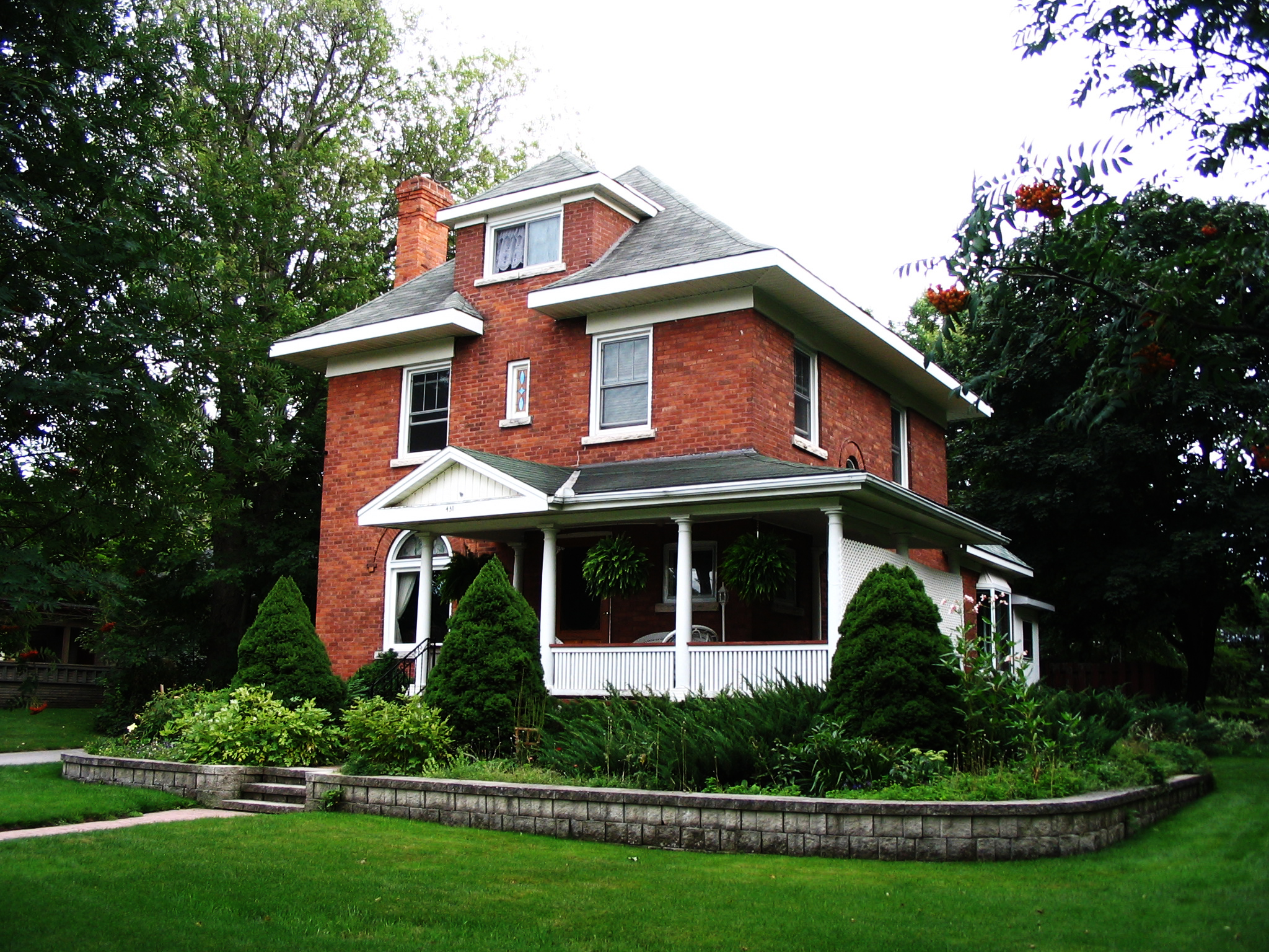
The House
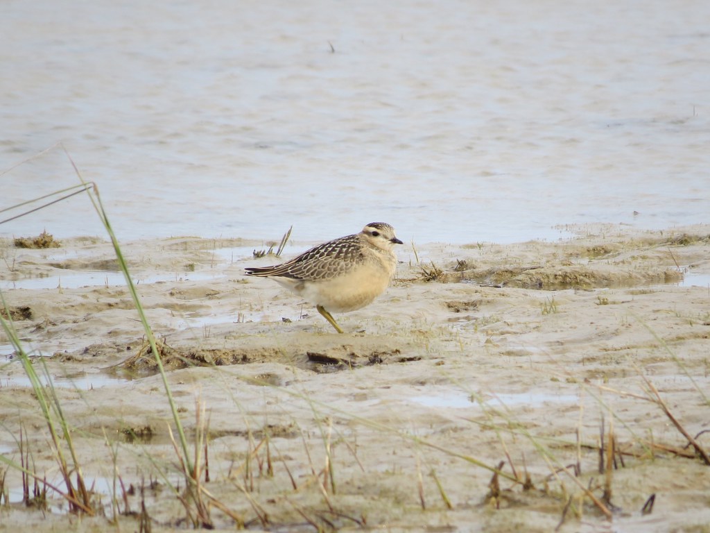
Eurasian Dotterel, Bruce Co., Ontario
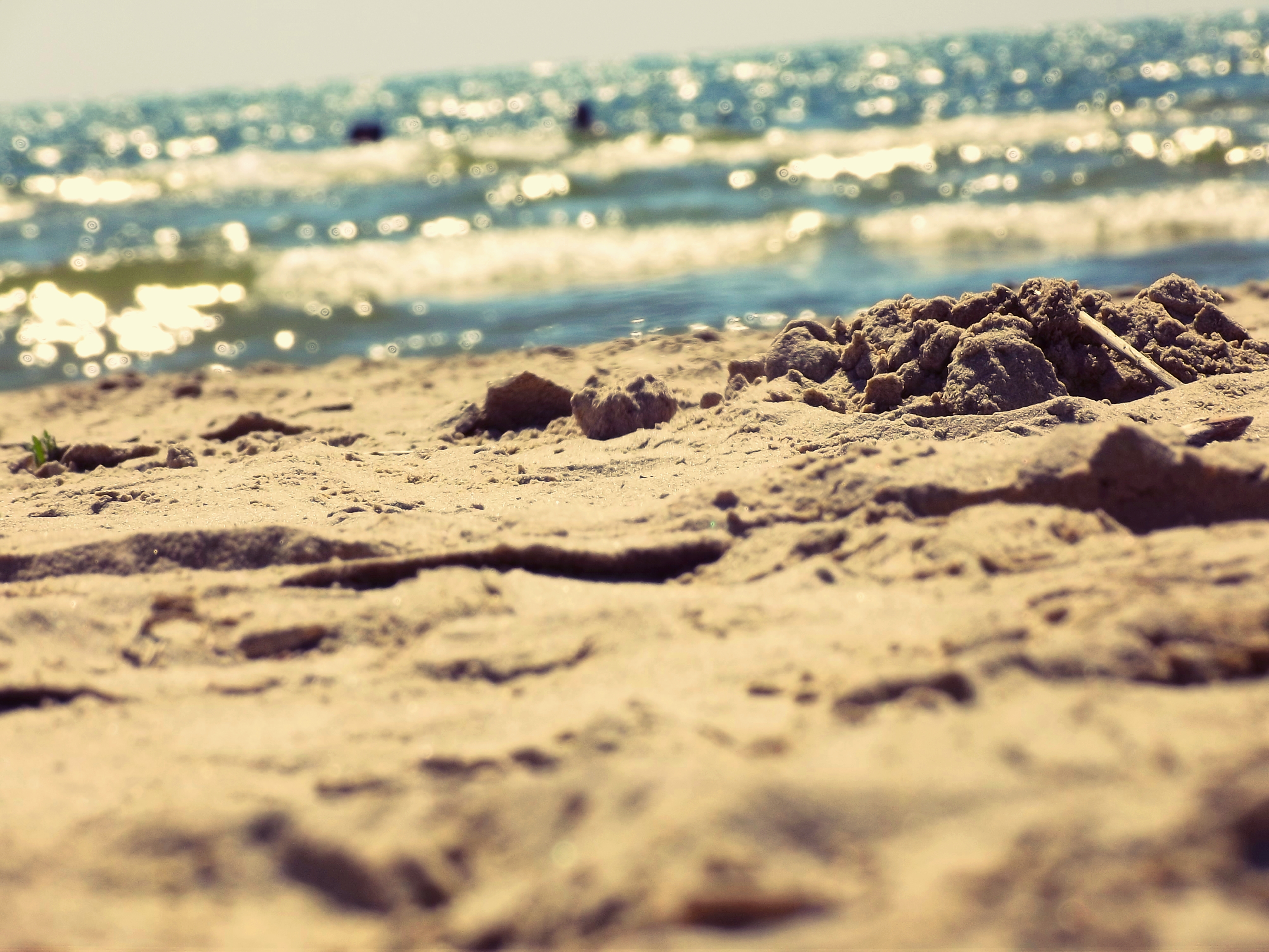
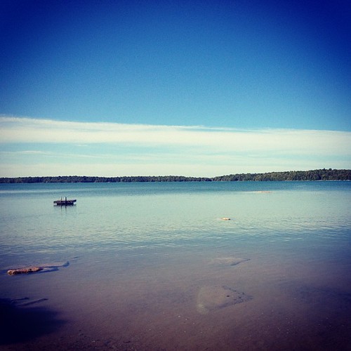
The Beach
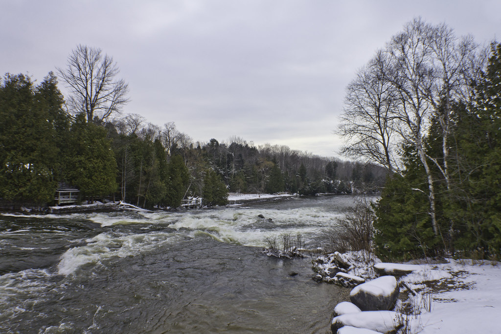
Rankin River
Sauble Magic
canadavacation_160.JPG
One last swim for the season

SAUBLE FALLS

Sauble Falls Waterfall-15.jpg

Oliphant Beach, Lake Huron, Ontario_9522
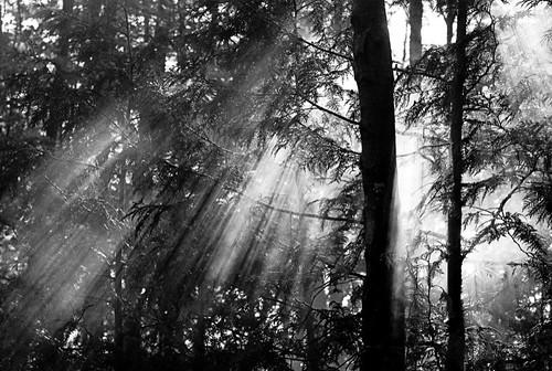
Let the sun shine (black and white)

Sauble Falls Waterfall-14.jpg

Sauble Beach Sunset

Sauble Falls Waterfall-18.jpg

Beauty of the lake

Sauble Falls Waterfall-16.jpg
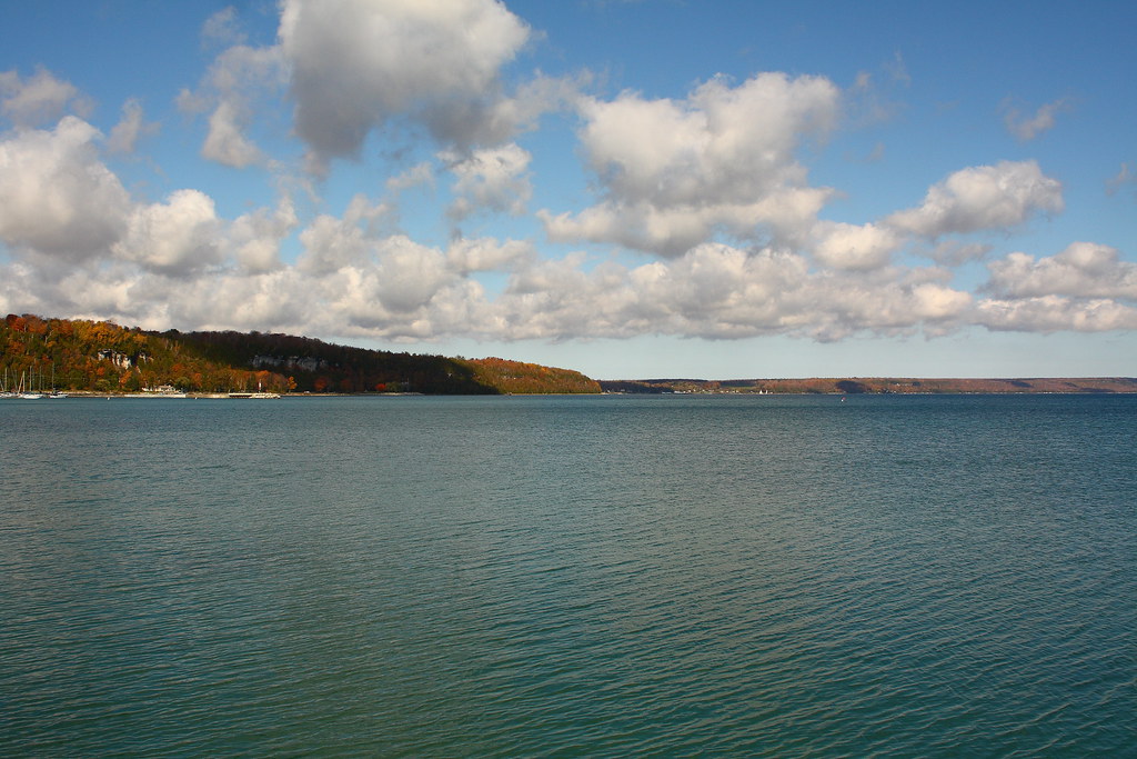
Sky Over Georgian Bay

Sauble Falls Waterfall-7.jpg
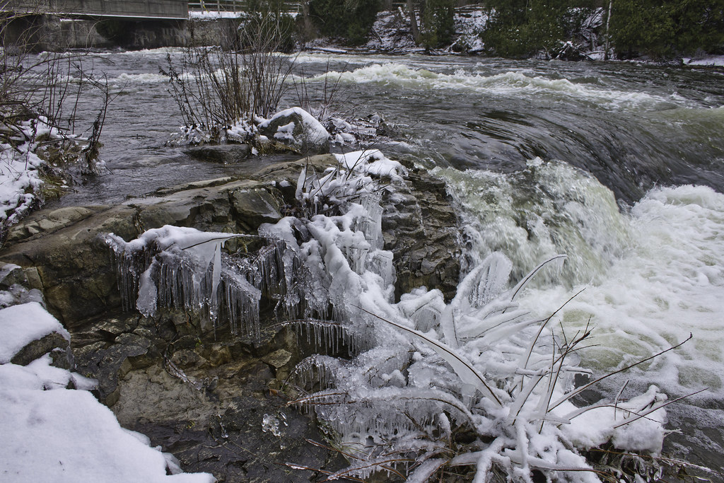
Icicle Falls
canadavacation_165.JPG
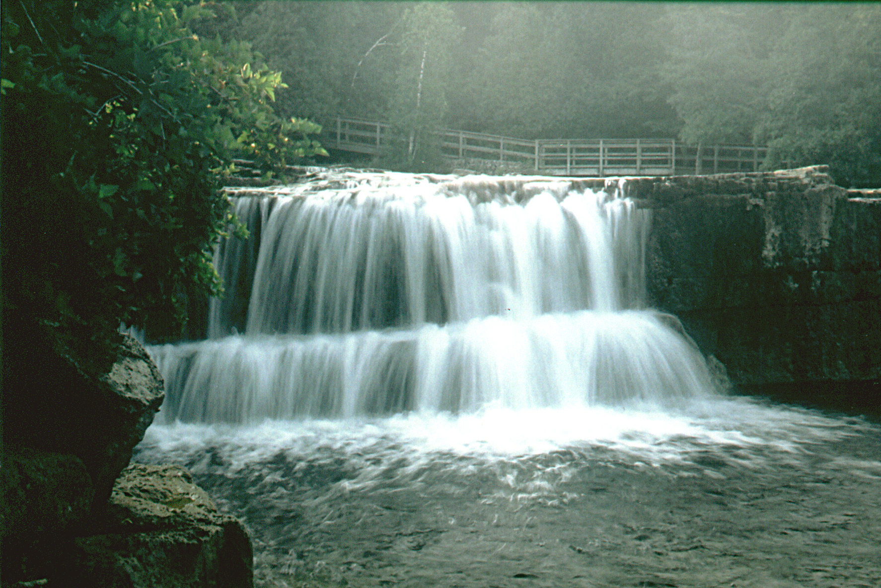
Sauble Falls dreamy
Topographic Map of 35 Bay St, Wiarton, ON N0H 2T0, Canada
Find elevation by address:

Places near 35 Bay St, Wiarton, ON N0H 2T0, Canada:
1400 Sauble Falls Rd
1264 Sauble Falls Rd
100 Cedar Dr
83 Adelaide St, Mar, ON N0H 1X0, Canada
South Bruce Peninsula
41 Tyson Ln
41 Tyson Ln
47 Sauble Falls Pkwy
Sauble Beach
Howdenvale
315 George St
Wiarton
ON-6, Wiarton, ON N0H 2T0, Canada
721 Pike Bay Rd
460 Bruce County Rd 9
357 Pike Bay Rd
Hepworth
N0h 2t0
281063 Shouldice Block Rd
Princess St, Shallow Lake, ON N0H 2K0, Canada
Recent Searches:
- Elevation of Corso Fratelli Cairoli, 35, Macerata MC, Italy
- Elevation of Tallevast Rd, Sarasota, FL, USA
- Elevation of 4th St E, Sonoma, CA, USA
- Elevation of Black Hollow Rd, Pennsdale, PA, USA
- Elevation of Oakland Ave, Williamsport, PA, USA
- Elevation of Pedrógão Grande, Portugal
- Elevation of Klee Dr, Martinsburg, WV, USA
- Elevation of Via Roma, Pieranica CR, Italy
- Elevation of Tavkvetili Mountain, Georgia
- Elevation of Hartfords Bluff Cir, Mt Pleasant, SC, USA