Elevation of Cattle Mountain East, Colorado, USA

Location: United States > Colorado > Rio Grande County > South Fork >

Longitude: -106.67777

Latitude: 37.5758333

Elevation: 3292m / 10800feet

Barometric Pressure: 68KPa

Elevation Map:

elevation map of Cattle Mountain East, Colorado, USA

Satellite Map:

Satellite map of Cattle Mountain East, Colorado, USA

Related Photos:

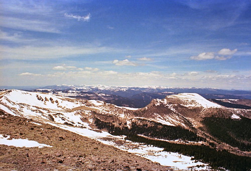
lookingwest northmountain filmnegativescan mountaintopview southcentralcolorado canon8800fscanner notfarfromsouthfork
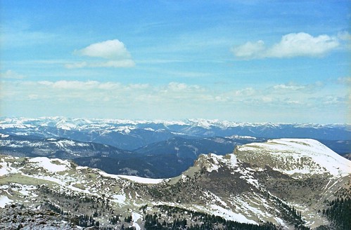
Distant snowy peaks
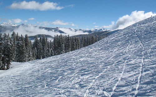
winter snow ski mountains beautiful creek snowboarding scenery san colorado wolf skiing juan sanjuan co pagosasprings wolfcreek skiarea pagosa
wolf creek ski area
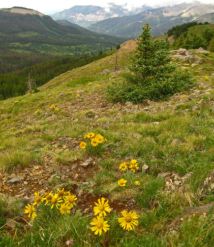
flowers plants usa mountain plant mountains west flower america creek geotagged centennial us colorado wolf unitedstates state united north pass american western co vegetation northamerica lobo wildflowers states floyd overlook wildflower muaddib americanwest wolfcreek oldmanofthemountain wolfcreekpass rydbergia westernusa lobooverlook centennialstate floydmuaddib
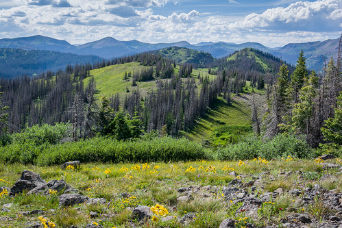
Lobo Overlook: Wolf Creek Pass, Colorado (CO)
Grayback from North Mountain
mountain snow ski mountains colorado skiing wolfcreek southfork
.
geotagged s2is shot50 camera:model=s2 image:shot=50 event:code=2007713 roll:num=2123 camera:model=powershots2is event:Type=travel event:Group=family image:Roll=2123
Mesa Verde, durango
ski southfork colorado wolfcreek albertapeak skiing snow powder k2 dearth
Alberta Face
mountain snow ski mountains colorado skiing wolfcreek faceshot dearth southfork
Face Shot
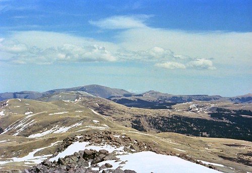
snowymountains lookingwest coldandwindy filmnegativescan southcentralcolorado canon8800fscanner fromtopofnorthmountain elevation12754feet3887m
May mountains
creek geotagged shot43 camera:model=s2 image:shot=43 2007713 roll2123 event:code=2007713 roll:num=2123 camera:model=powershots2is
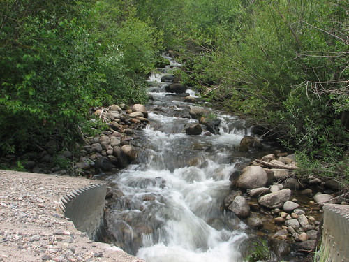
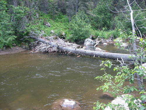
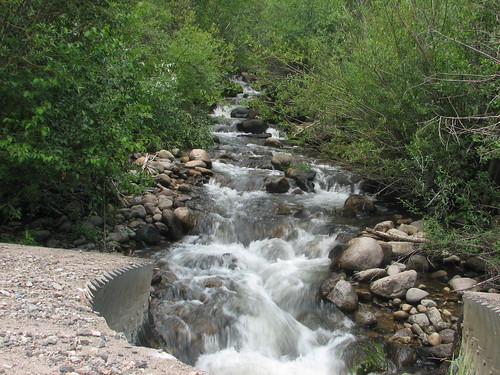
Wolf Creek
creek geotagged s2is shot43 camera:model=s2 image:shot=43 event:code=2007713 roll:num=2123 camera:model=powershots2is event:Type=travel event:Group=family image:Roll=2123
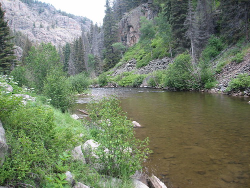
Wolf Creek
creek geotagged shot42 camera:model=s2 image:shot=42 2007713 roll2123 event:code=2007713 roll:num=2123 camera:model=powershots2is
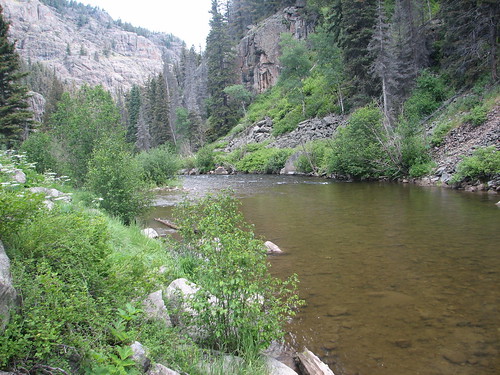
Wolf Creek
creek geotagged s2is shot42 camera:model=s2 image:shot=42 event:code=2007713 roll:num=2123 camera:model=powershots2is event:Type=travel event:Group=family image:Roll=2123
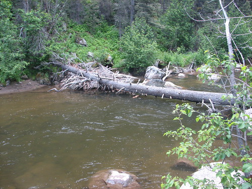
Wolf Creek
geotagged shot50 camera:model=s2 image:shot=50 2007713 roll2123 event:code=2007713 roll:num=2123 camera:model=powershots2is
Mesa Verde, durango
us colorado unitedstates places pagosasprings wolfcreekpass creede
View near Wolf Creek Pass
filmnegativescan canon8800fscanner
Mountaintop view
colorado wolfcreekpass continentaldividetrail
Telephoto View of Mount Lobo from CDT Across Wolf Creek Pass
Mountain view, Colorado (3)
Mountain view, Colorado (4)
Road and Mountain view, Colorado
colorado highways
US 160 Wolf Creek Pass