Elevation of Riverbend Resort, US-, South Fork, CO, USA
Location: United States > Colorado > Rio Grande County > South Fork >
Longitude: -106.67609
Latitude: 37.63086
Elevation: 2552m / 8373feet
Barometric Pressure: 74KPa
Elevation Map:
Satellite Map:
Related Photos:

Ute Bluff Lodge
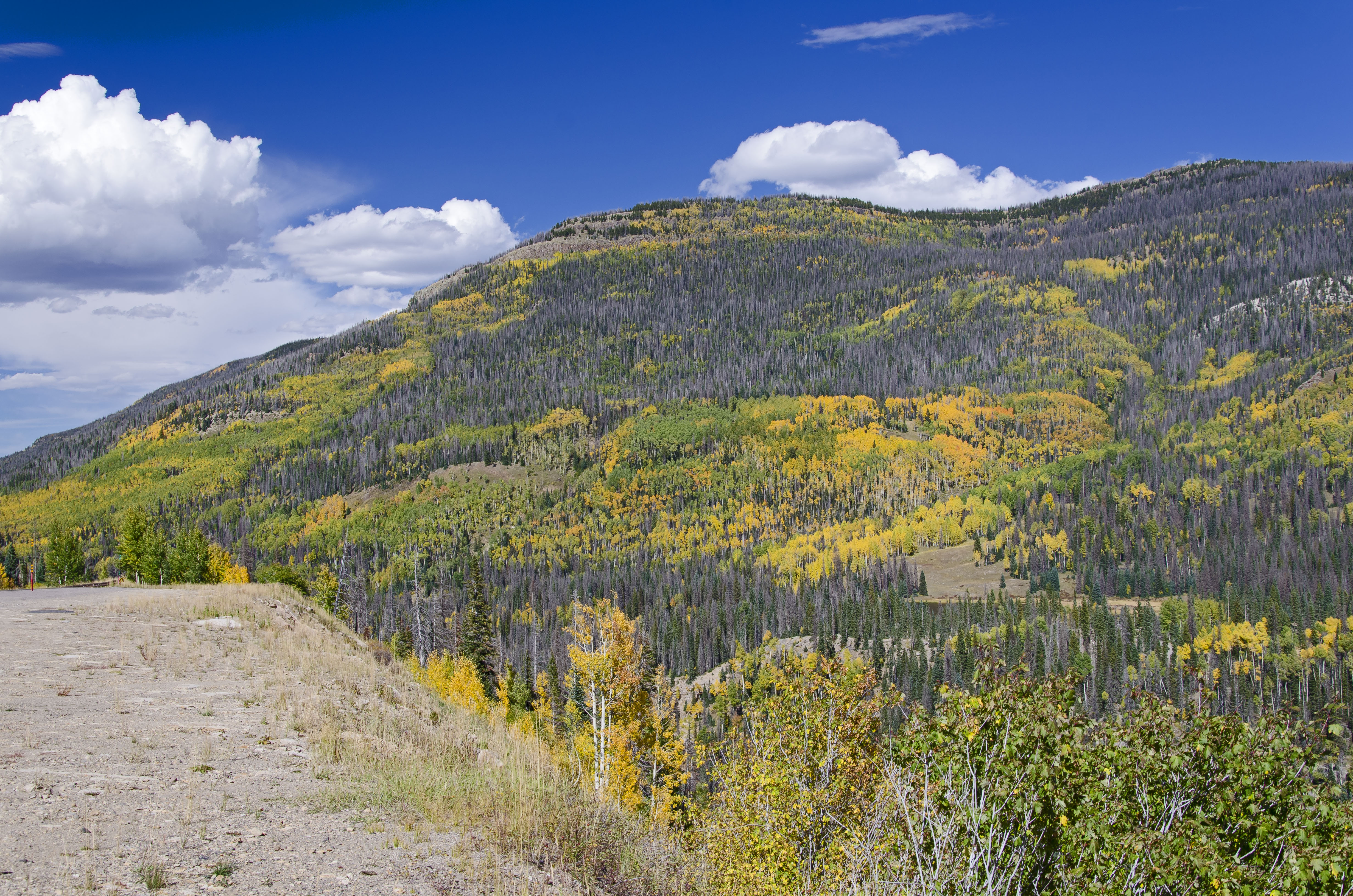
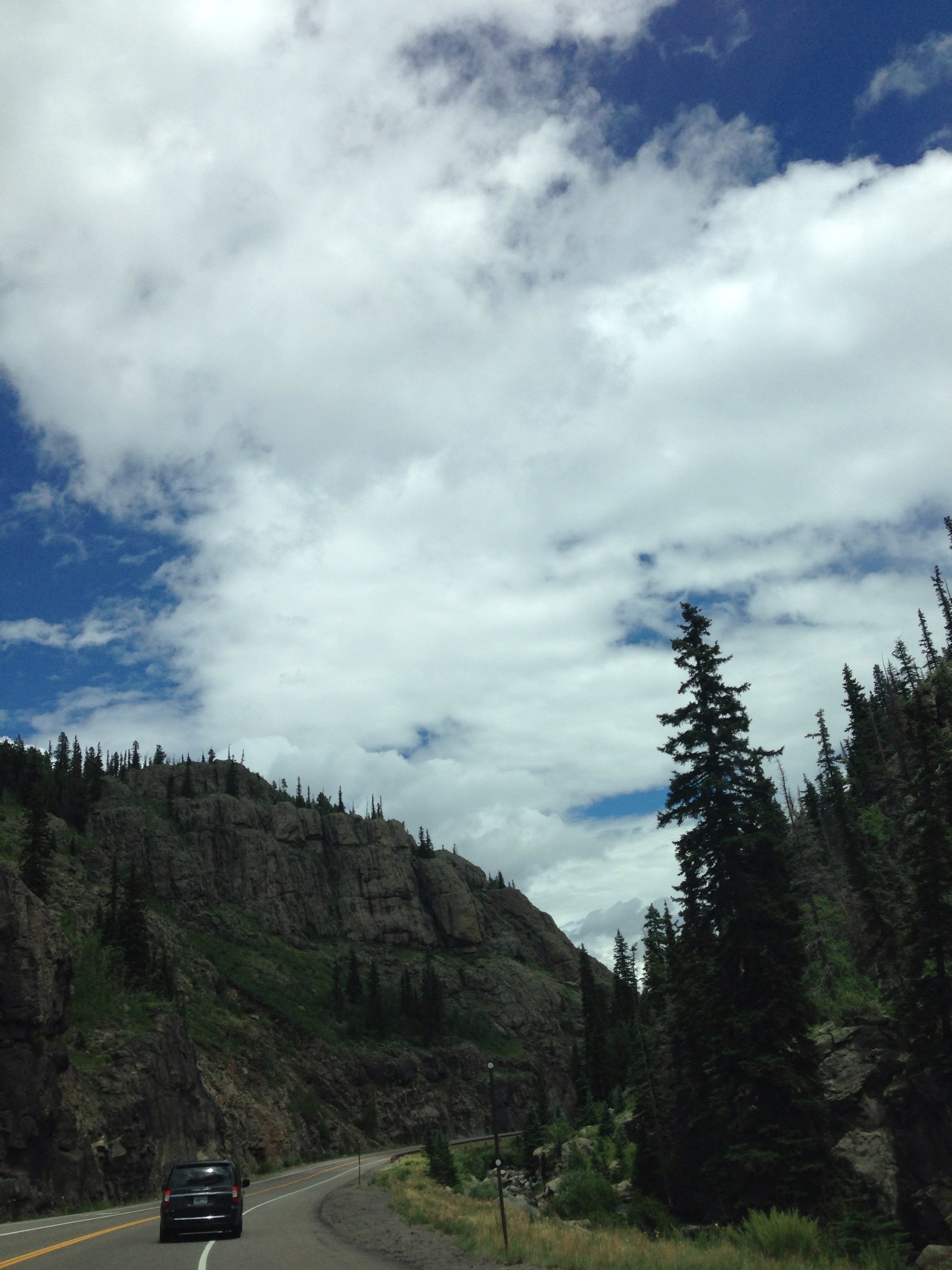
Wolf Creek: East Side of Wolf Creek Pass, Colorado (CO)

Spruce Creek

Mountain view, Colorado (4)
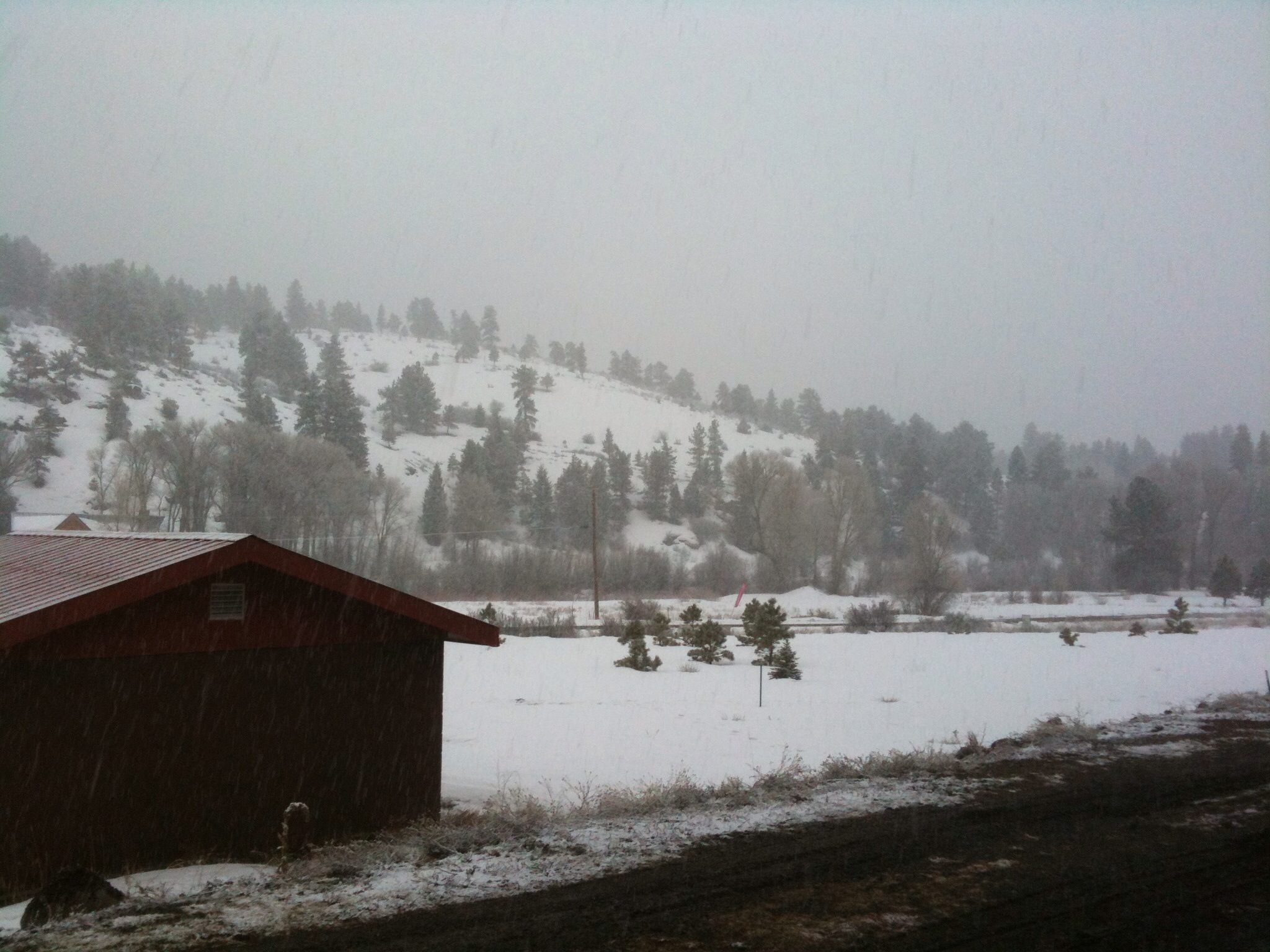
view from hotel in Southfork, CO

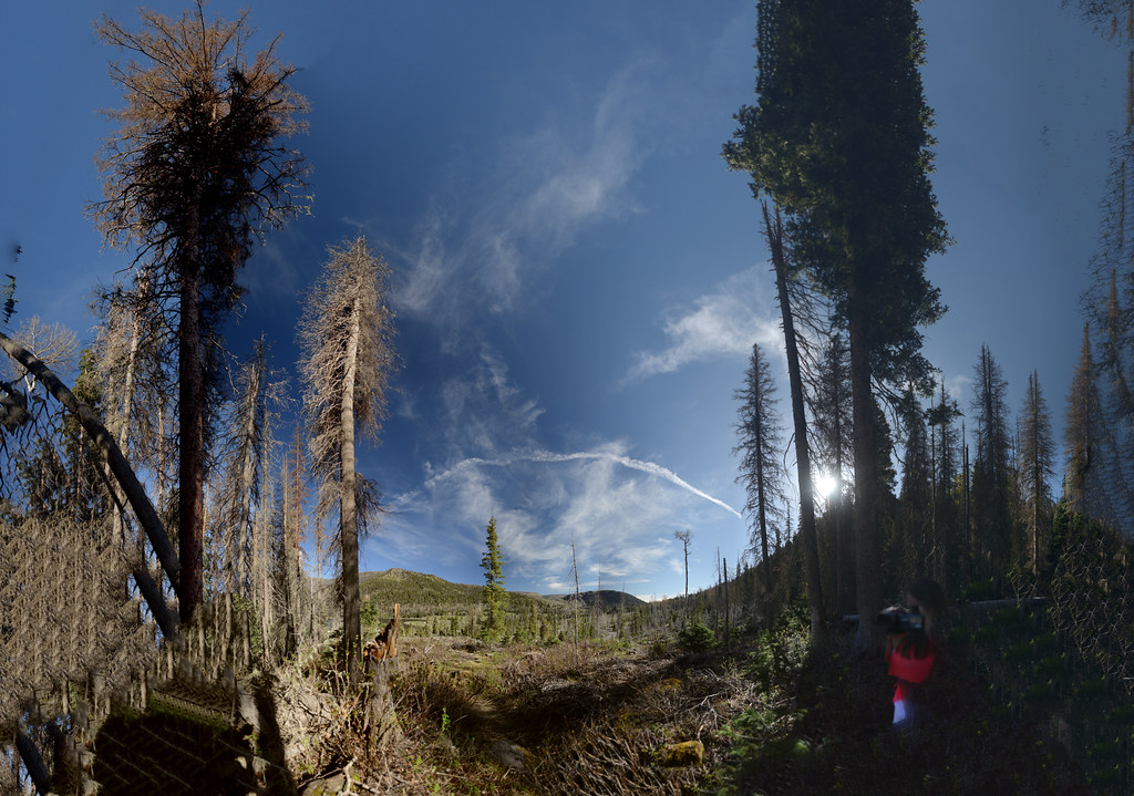
Wolf Creek
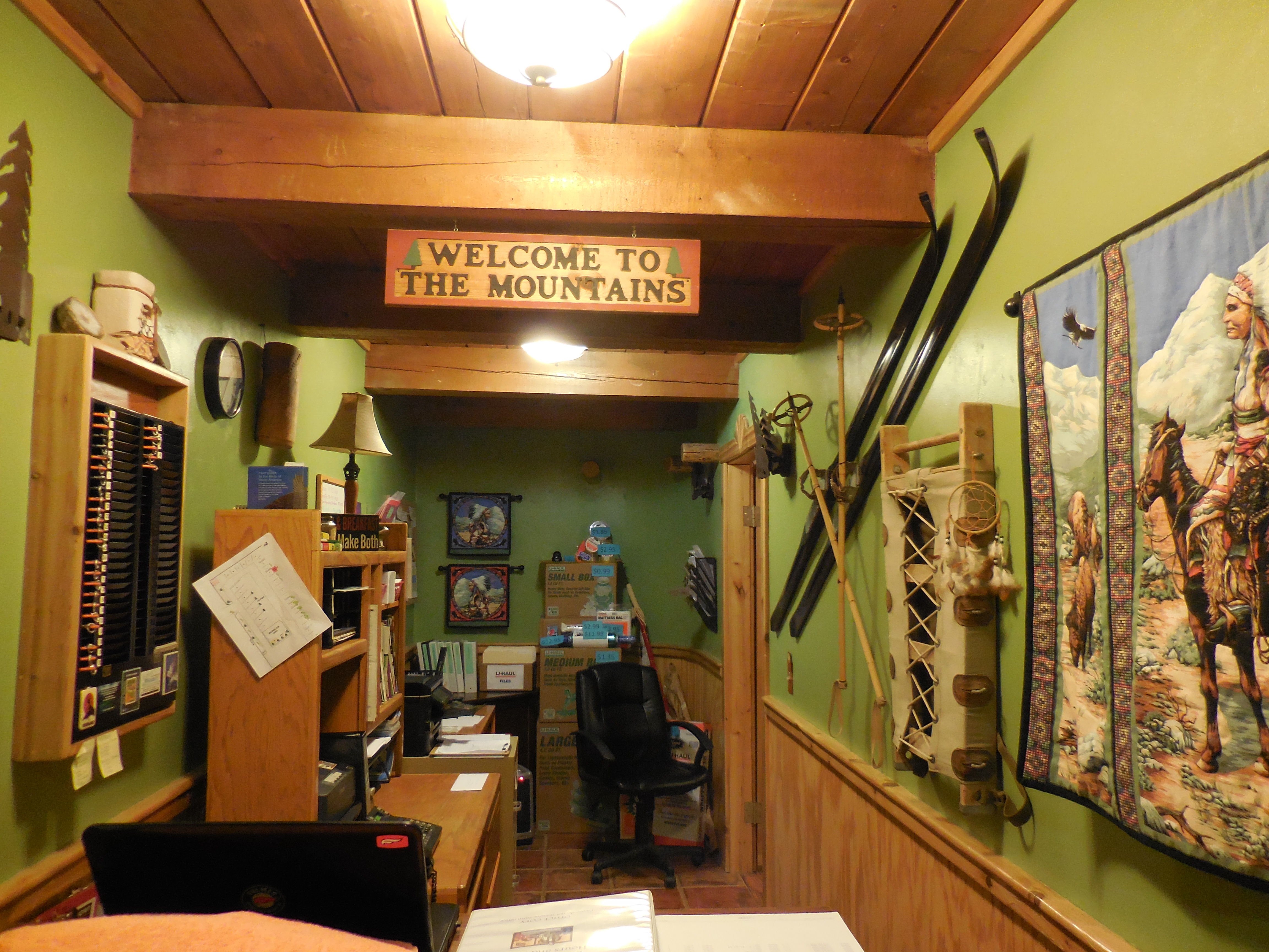
Ute Bluff Lodge in South Fork, Colorado
Wolf Creek
Mesa Verde, durango

Mesa Verde, durango
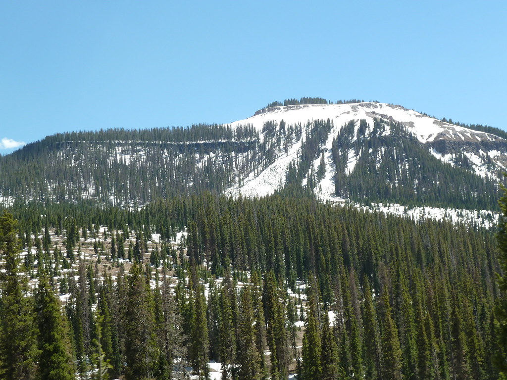
Mountain view, Colorado (3)

Road and Mountain view, Colorado
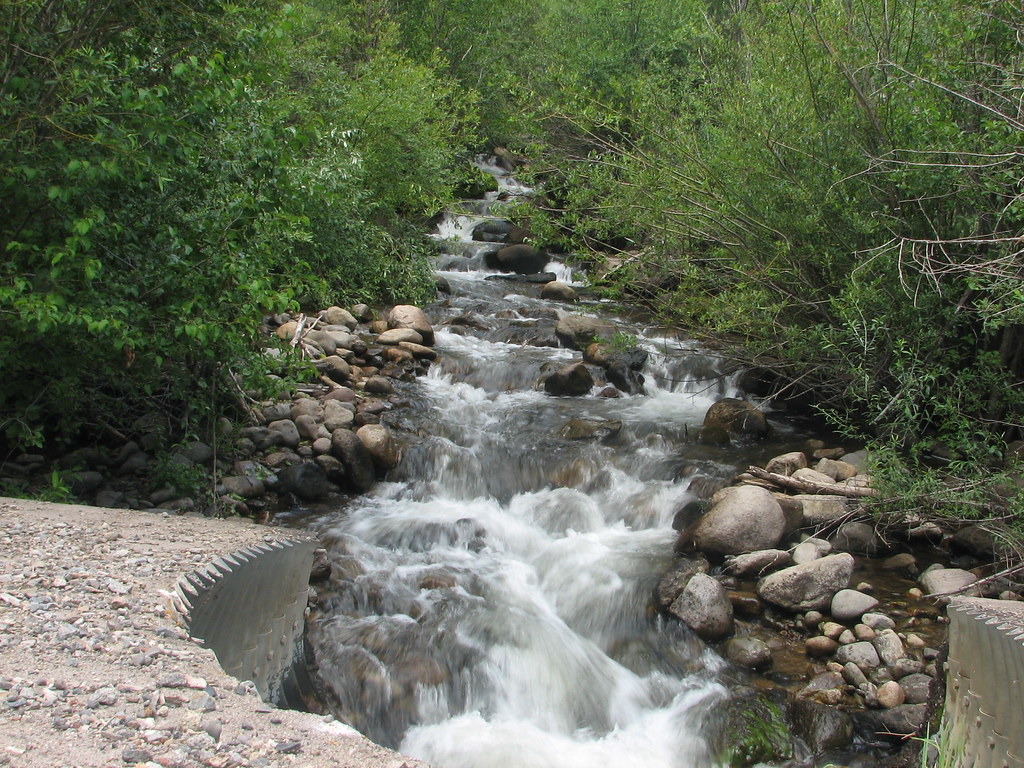
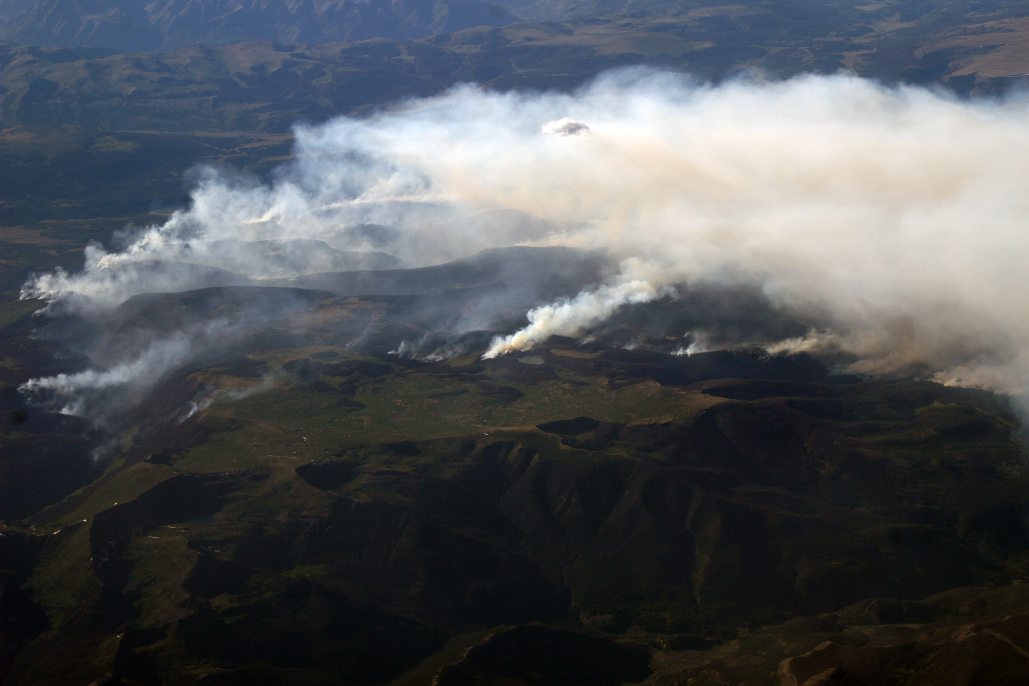
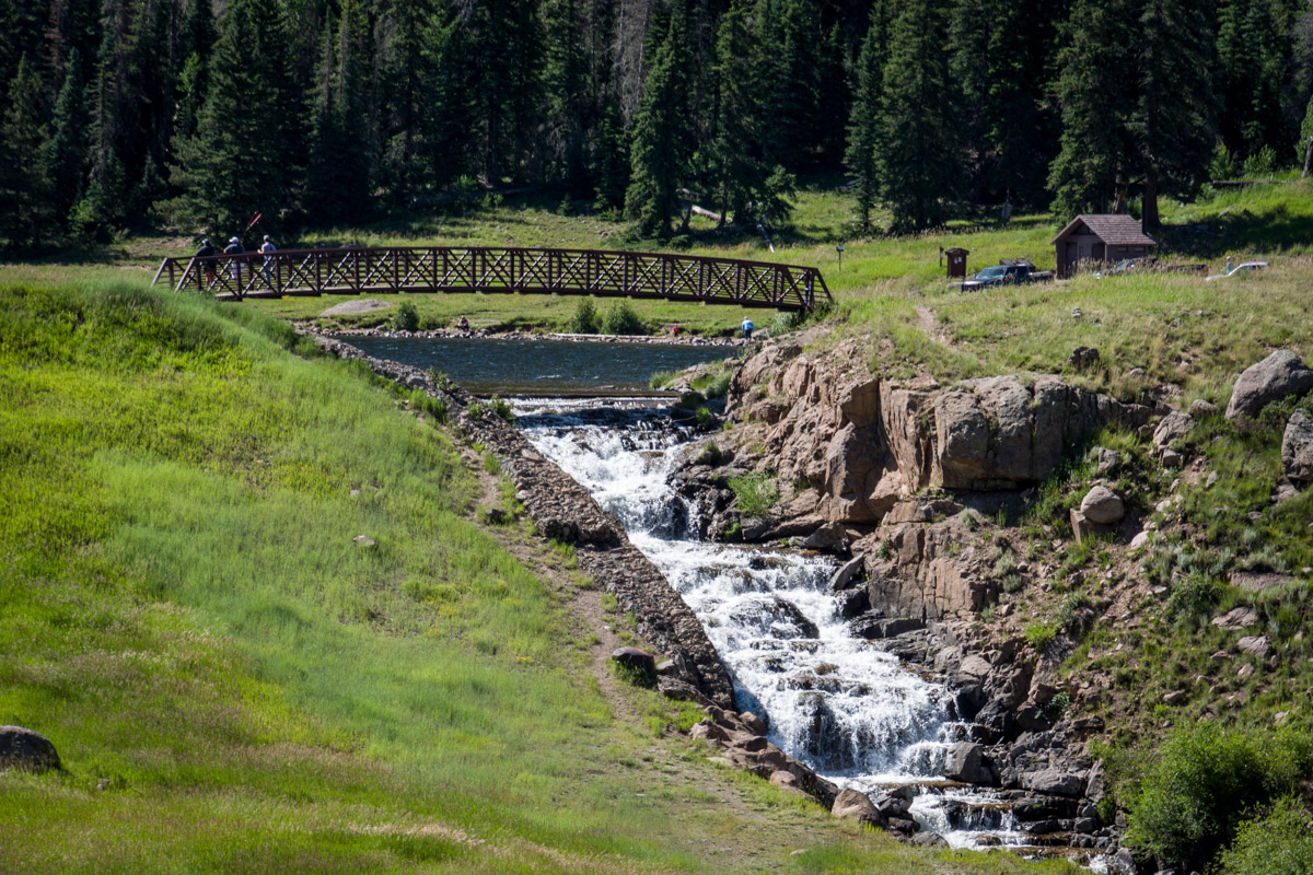
Wolf Creek
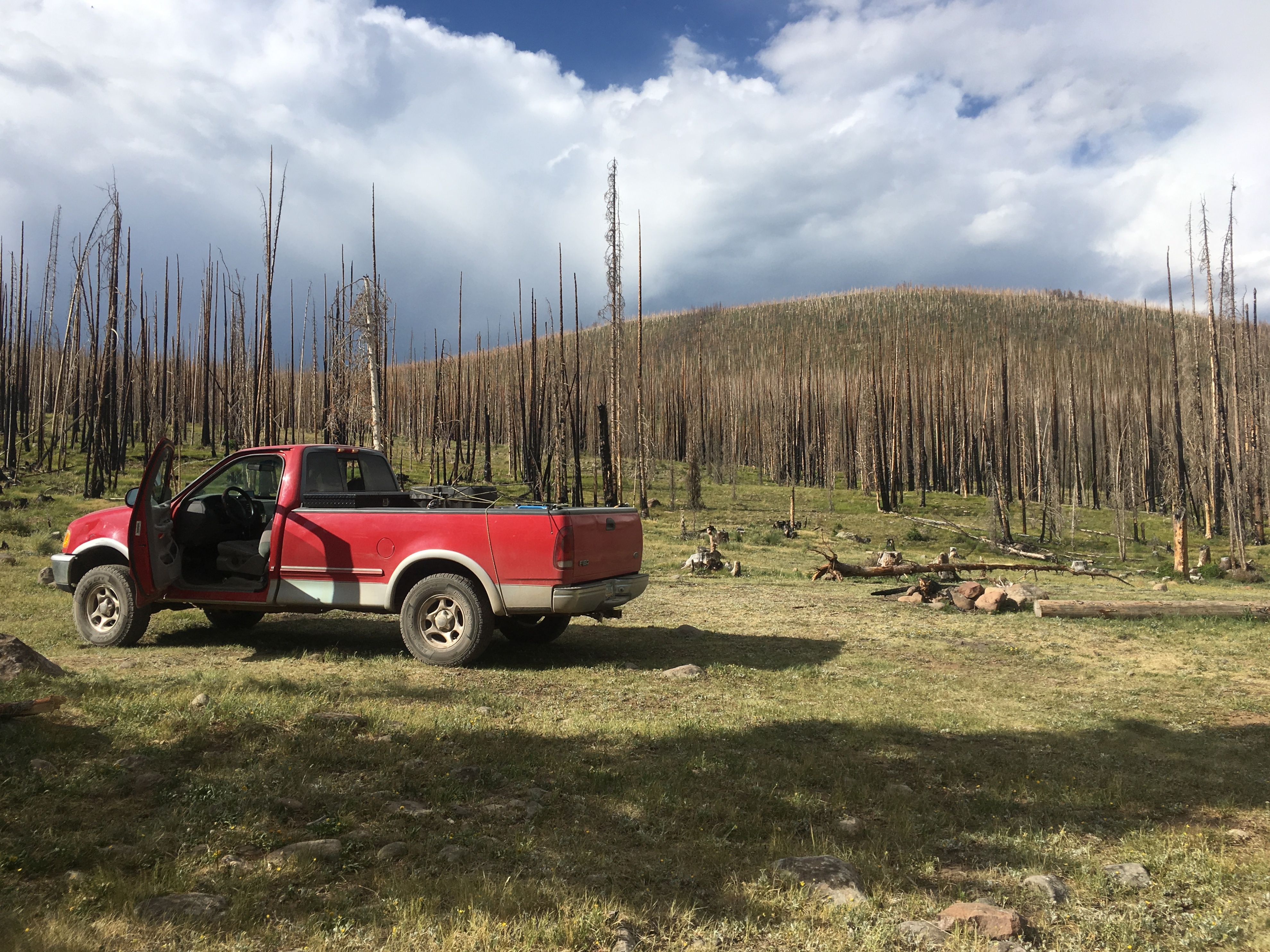
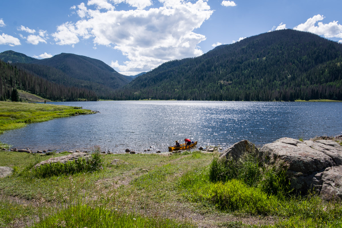
Camp Spot Found
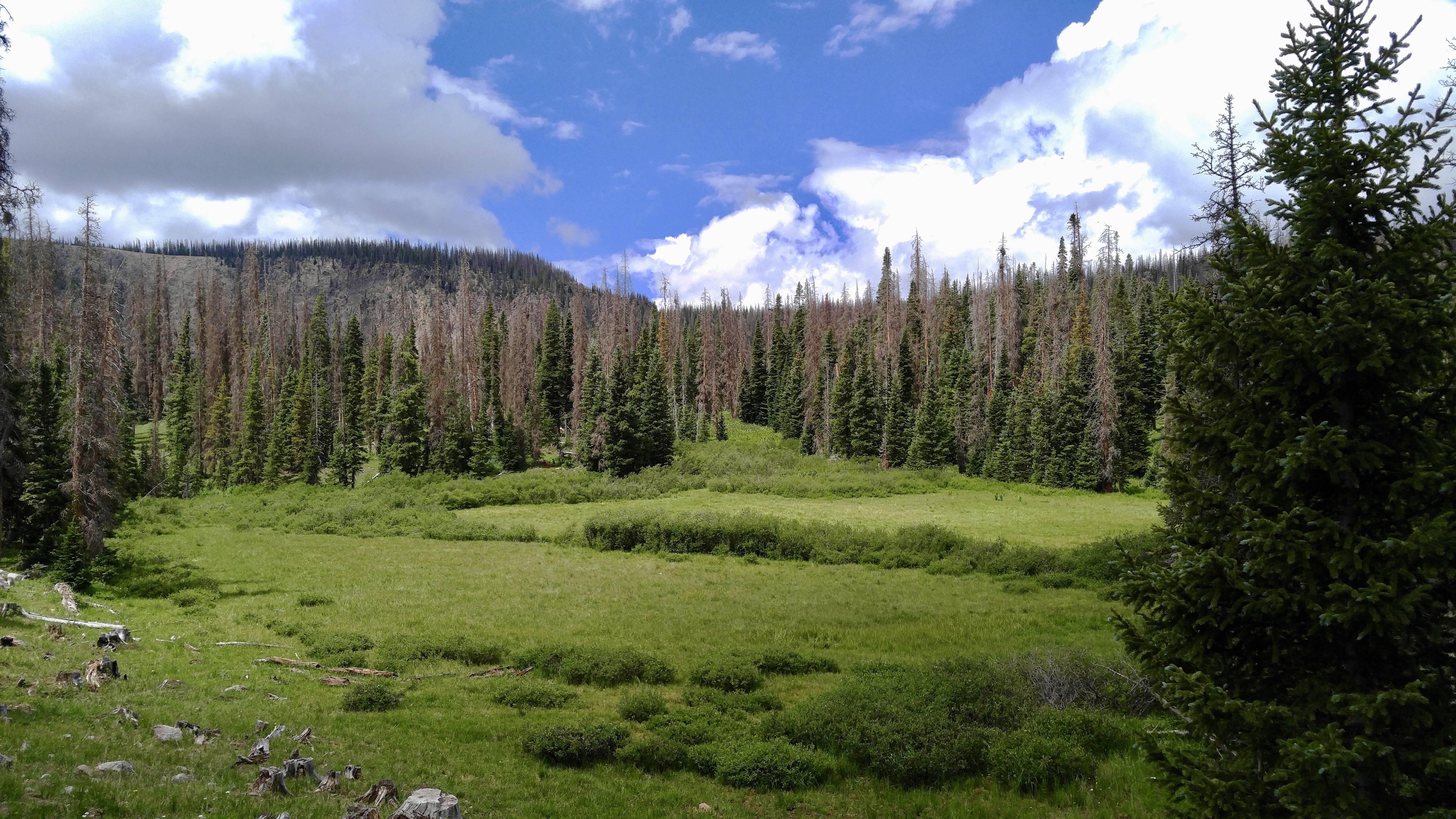
Hiking Spruce Creek
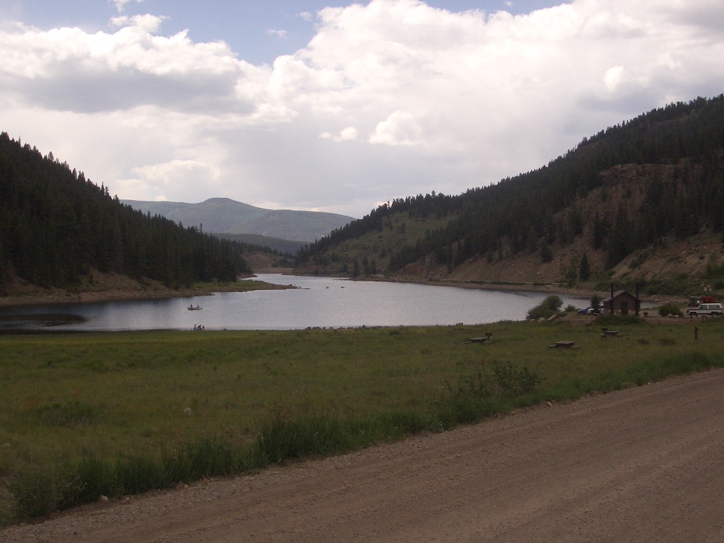
Big Meadows Resevoir

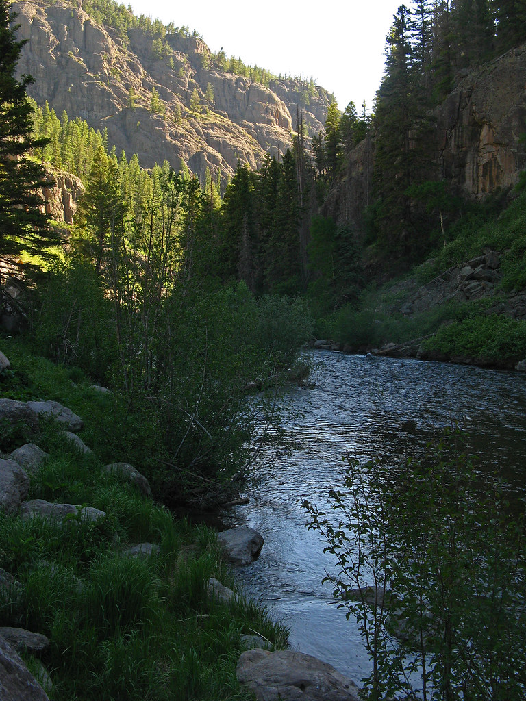
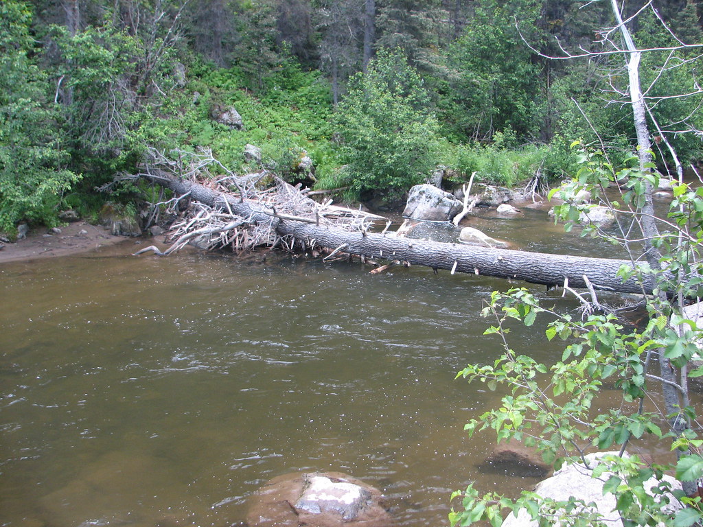
Rio Grande
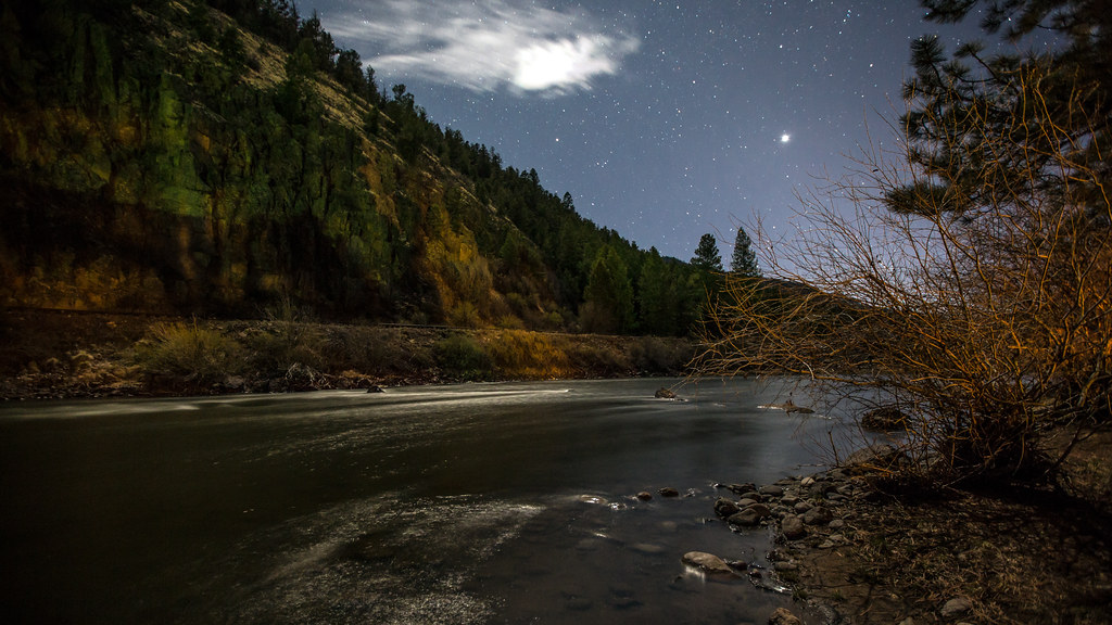
Night over the Rio Grande

Hummingbird feeding on trumpet flower
Beaver Creek Rd., upper section
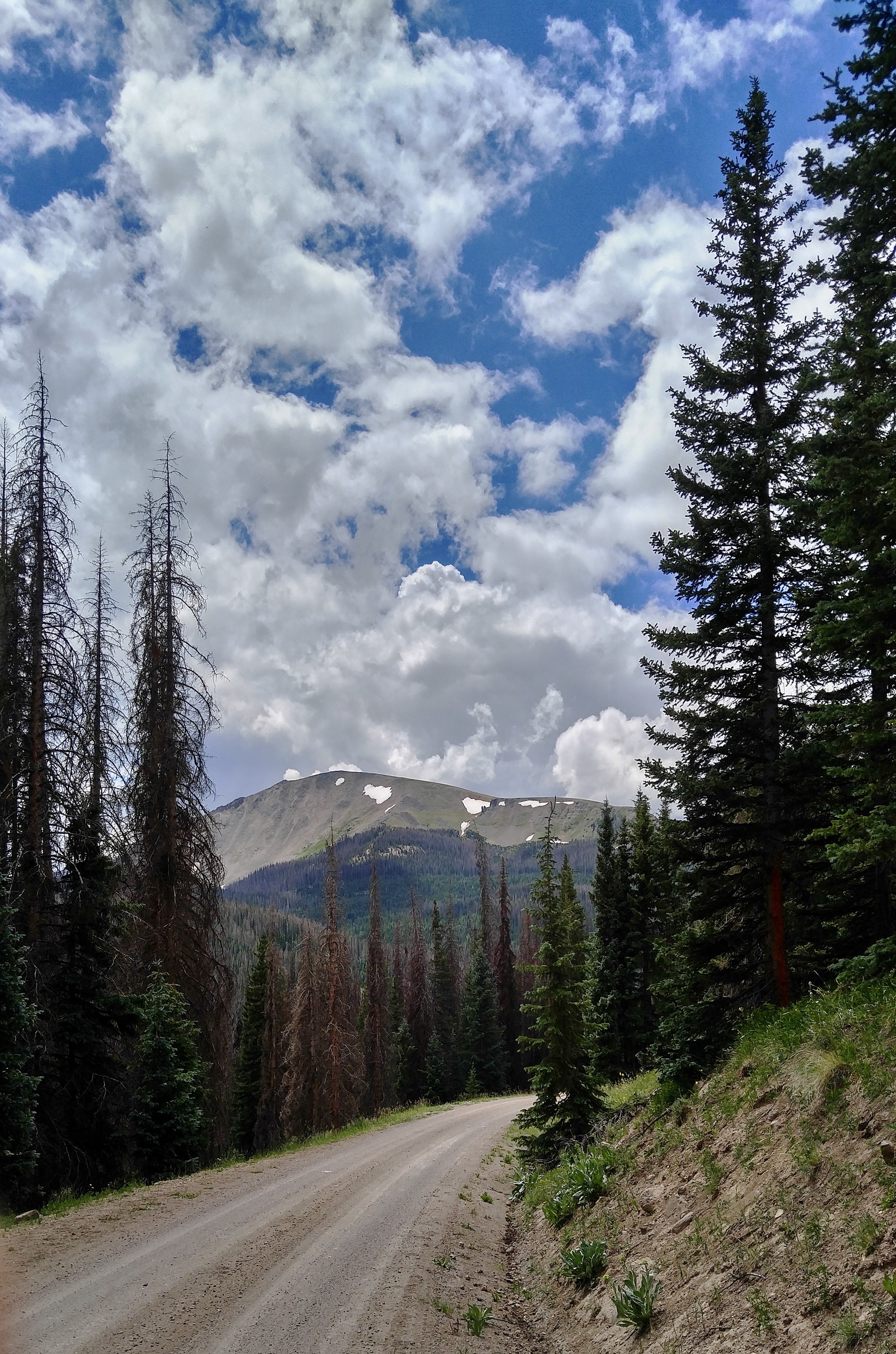
View from the Road
2013_06_25-26_syd-akl-lax-iad-ewr_834
Beaver Creek Rd., upper section
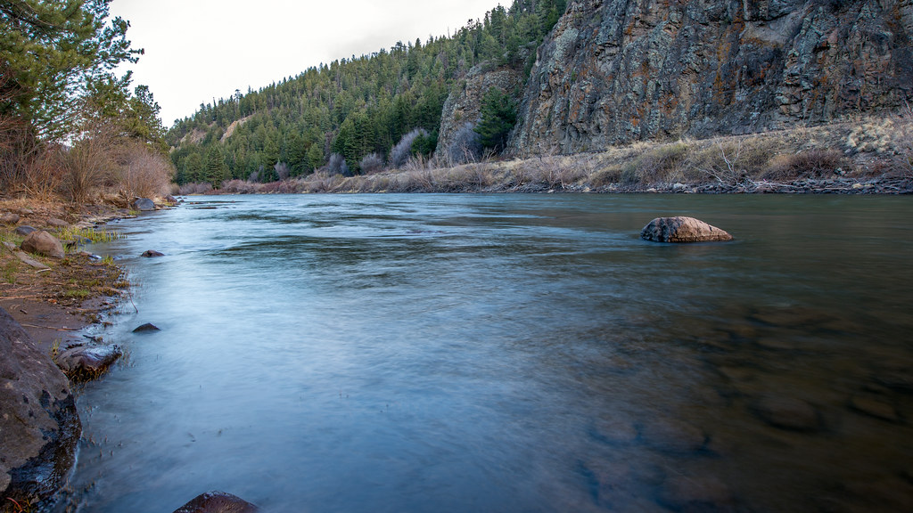
Rio Grande
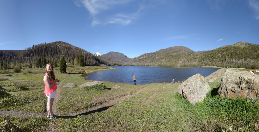
Big Meadow Lake
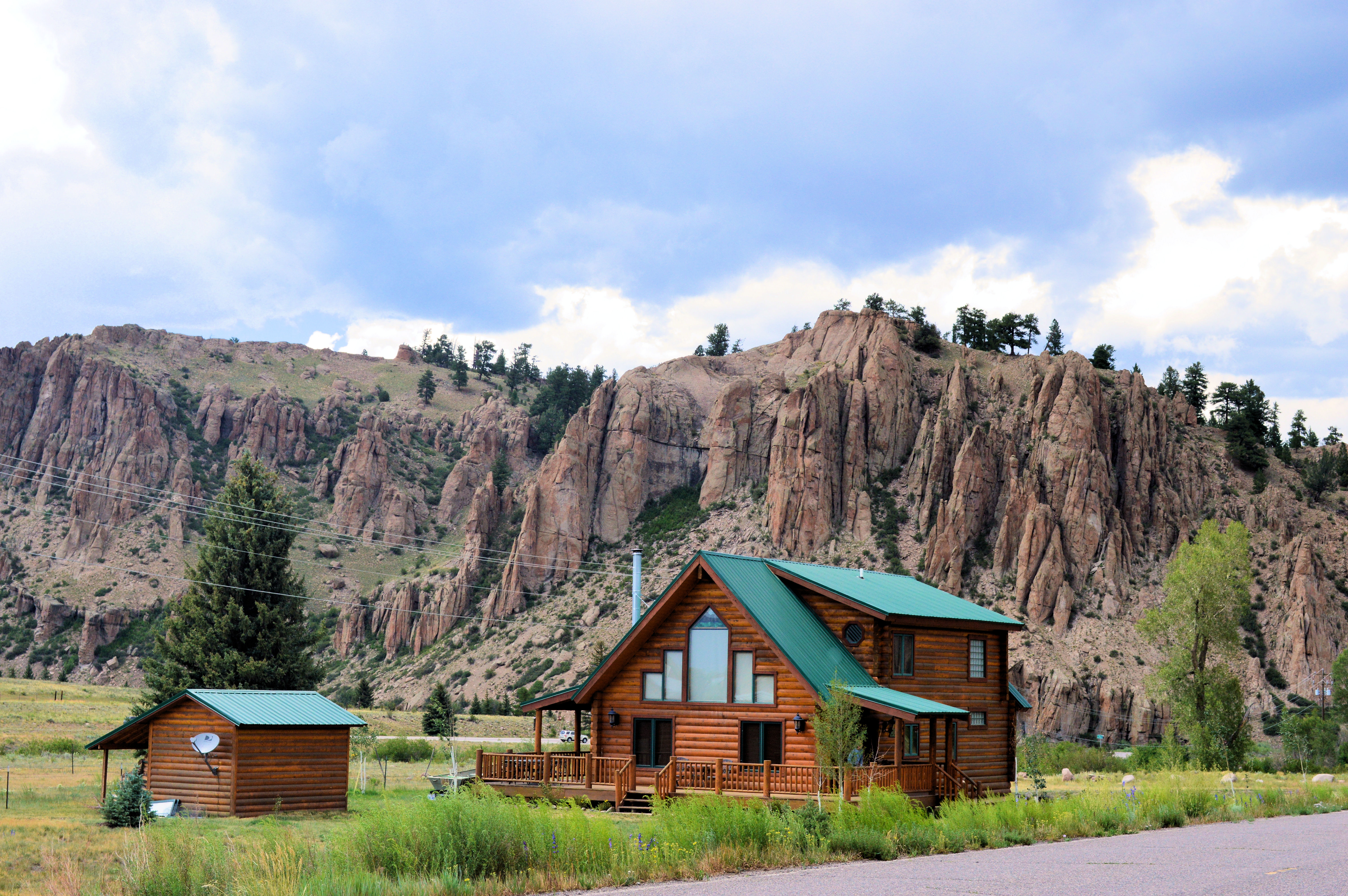
Mountain cabin

Pastoral Southern Colorado 2
Big Meadow Reservoir, Rio Grande National Forest, Colorado
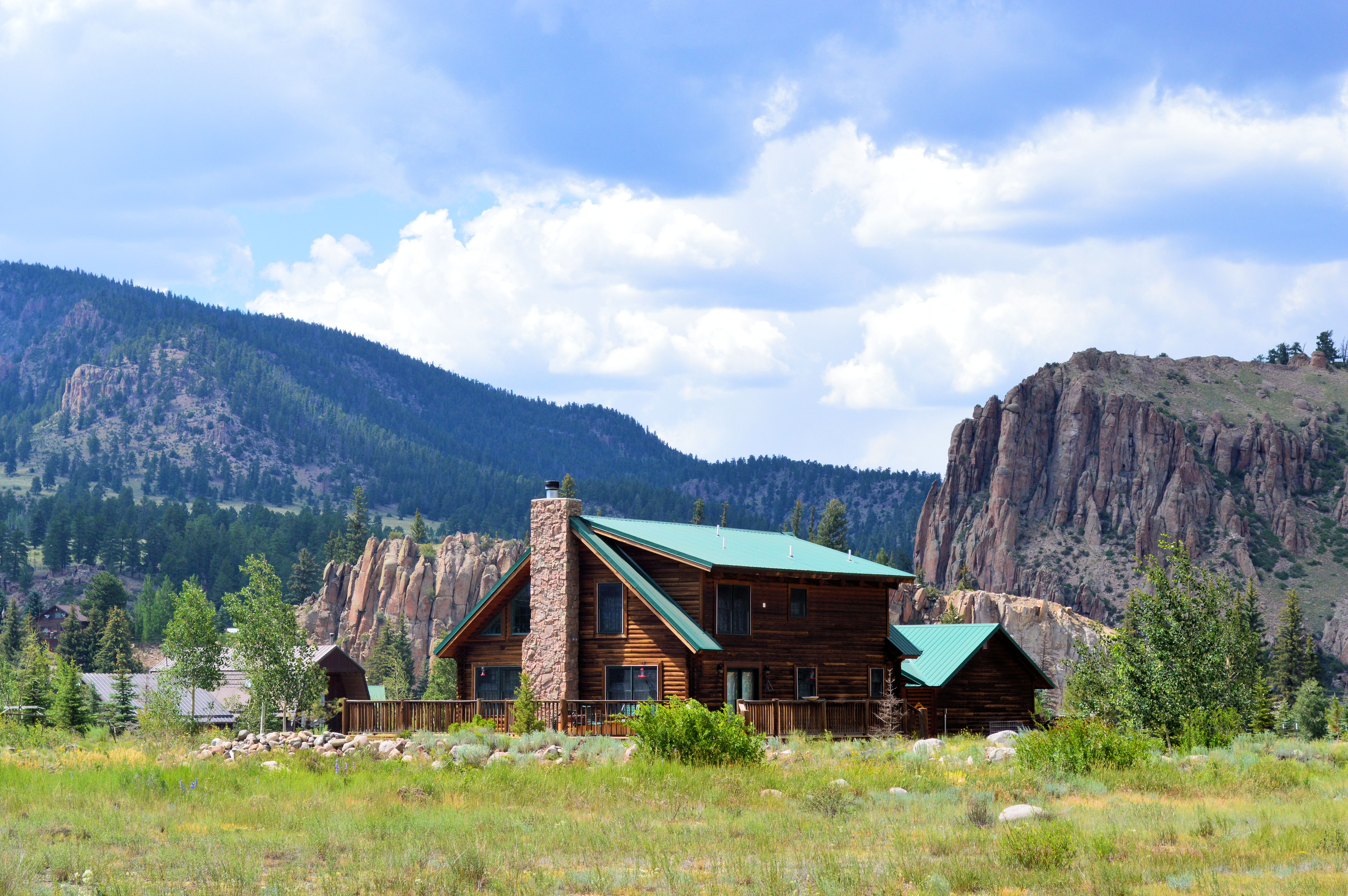
Mountain cabin
Big Meadow Lake
Rocky Mountains

Ski Day One
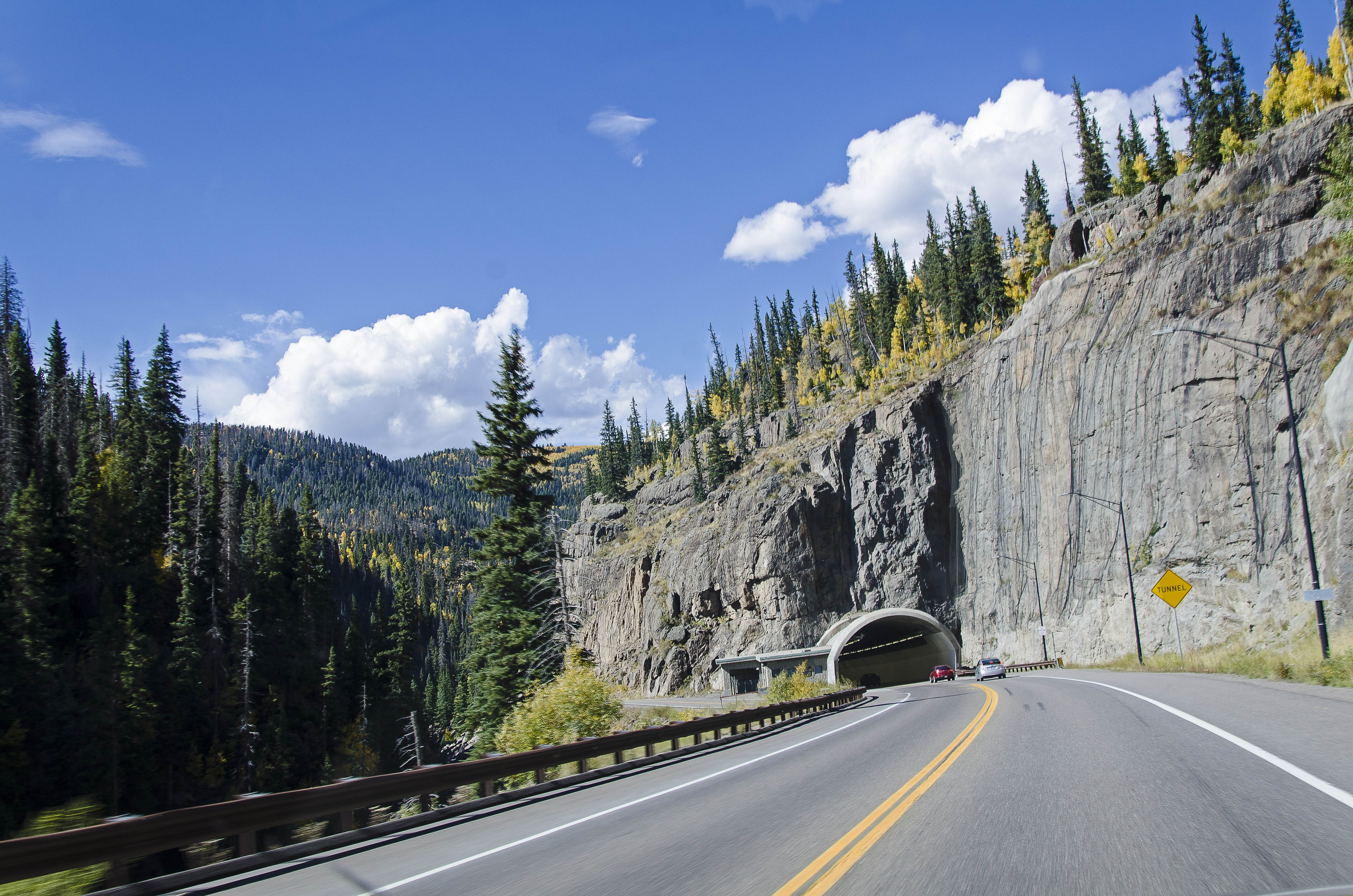
Tunnel on Highway 160

Wolf Creek Pass Continental Divide San Juan Mountains Colorado
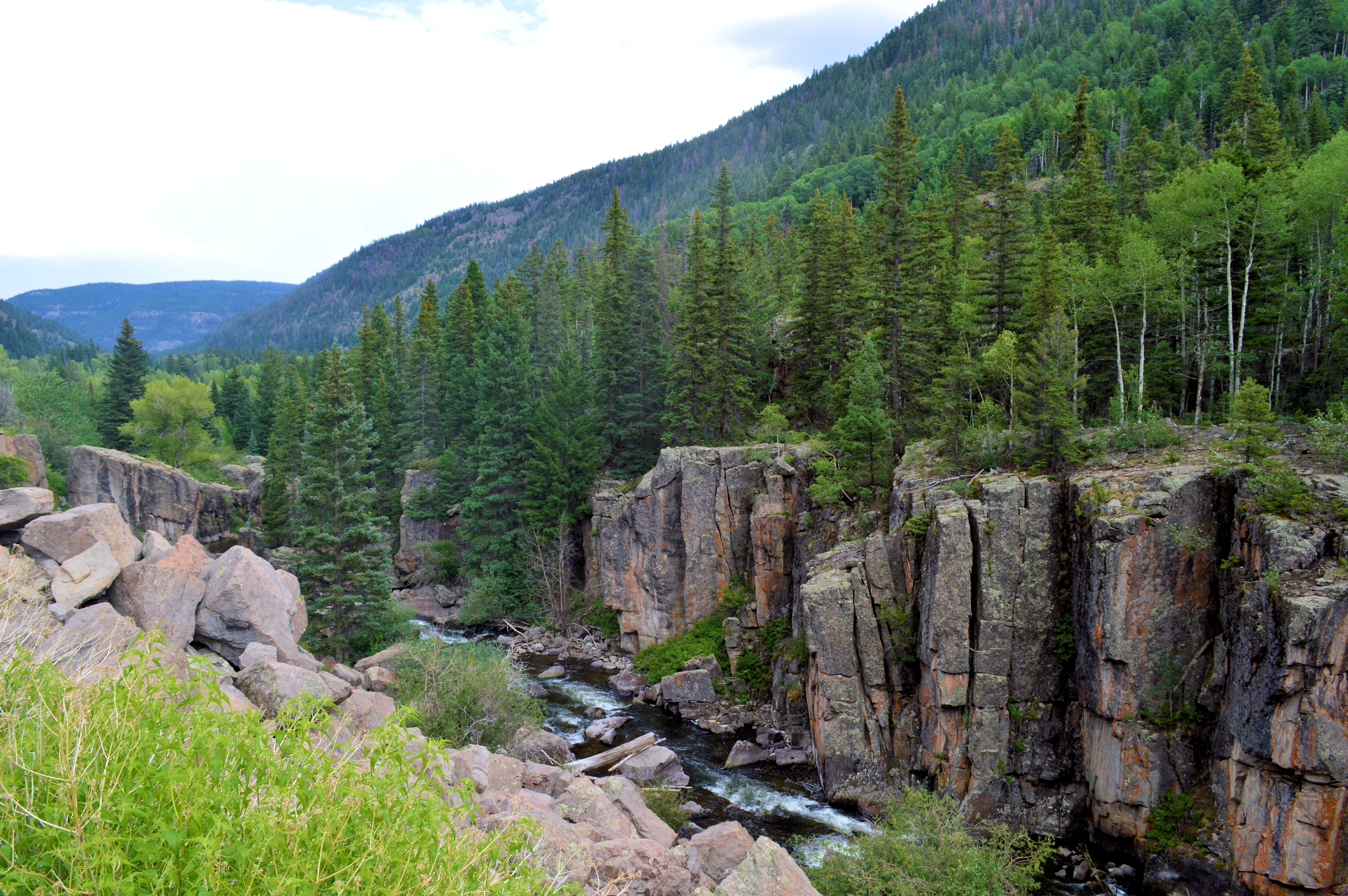
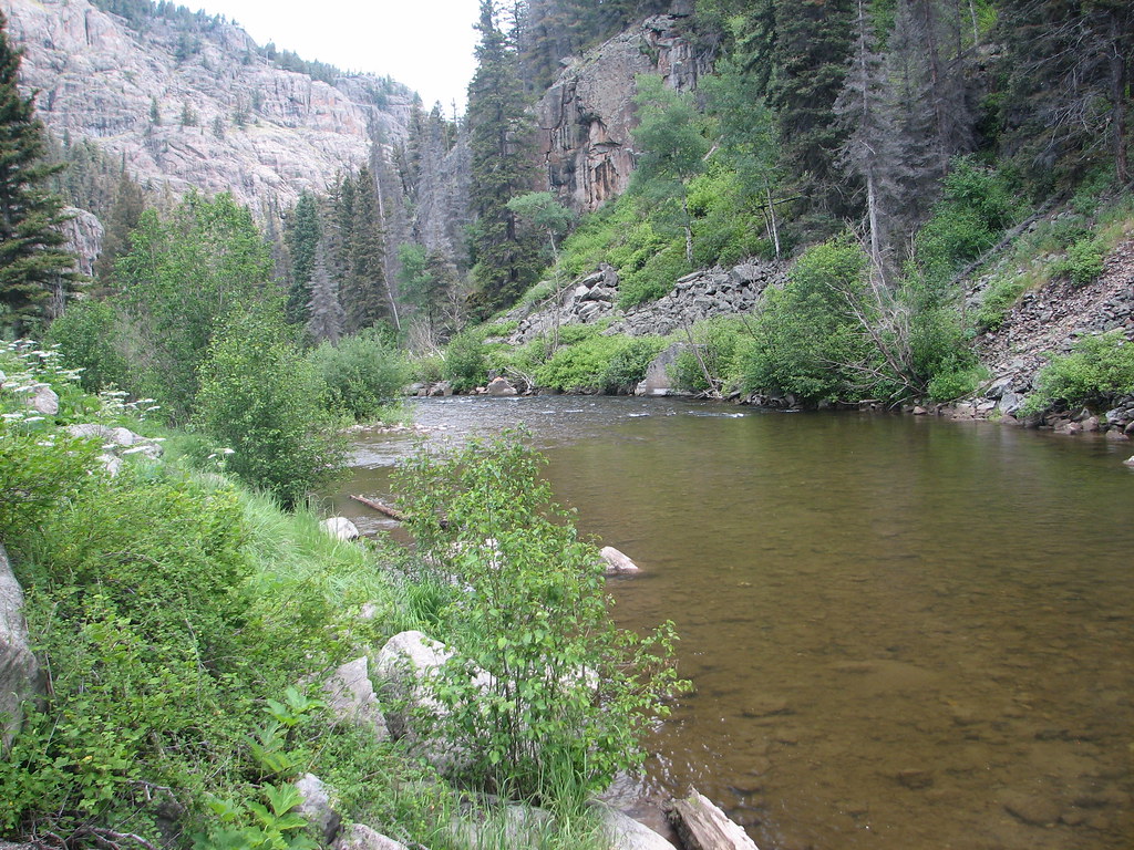
South Fork Rio Grande
Beaver Creek Reservoir
Topographic Map of Riverbend Resort, US-, South Fork, CO, USA
Find elevation by address:

Places near Riverbend Resort, US-, South Fork, CO, USA:
188 Skyline Dr
Sentinel Peak
100 Rivercrest Dr
Alpine Trails Rv Park
South Fork
334 Bobcat Ct
148 Rock Ridge Ct
Goodrich Peak
91 Navajo Rd, South Fork, CO, USA
2641 Bear Creek Cir
Gerrard
1984 Bear Creek Cir
Alpine
Rabbit Ears Rd, South Fork, CO, USA
323 Berthoud Pass Rd
176 Red Feather Rd
Trout Mountain
Metroz Mountain
161 W Pfeiffer Loop
Mcclelland Mountain
Recent Searches:
- Elevation of Woolwine, VA, USA
- Elevation of Lumagwas Diversified Farmers Multi-Purpose Cooperative, Lumagwas, Adtuyon, RV32+MH7, Pangantucan, Bukidnon, Philippines
- Elevation of Homestead Ridge, New Braunfels, TX, USA
- Elevation of Orchard Road, Orchard Rd, Marlborough, NY, USA
- Elevation of 12 Hutchinson Woods Dr, Fletcher, NC, USA
- Elevation of Holloway Ave, San Francisco, CA, USA
- Elevation of Norfolk, NY, USA
- Elevation of - San Marcos Pass Rd, Santa Barbara, CA, USA
- Elevation of th Pl SE, Issaquah, WA, USA
- Elevation of 82- D Rd, Captain Cook, HI, USA