Elevation of Castine Rd, Orland, ME, USA
Location: United States > Maine > Hancock County > Orland >
Longitude: -68.741589
Latitude: 44.529132
Elevation: 11m / 36feet
Barometric Pressure: 101KPa
Elevation Map:
Satellite Map:
Related Photos:
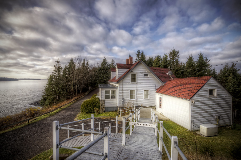
Keeper's Access
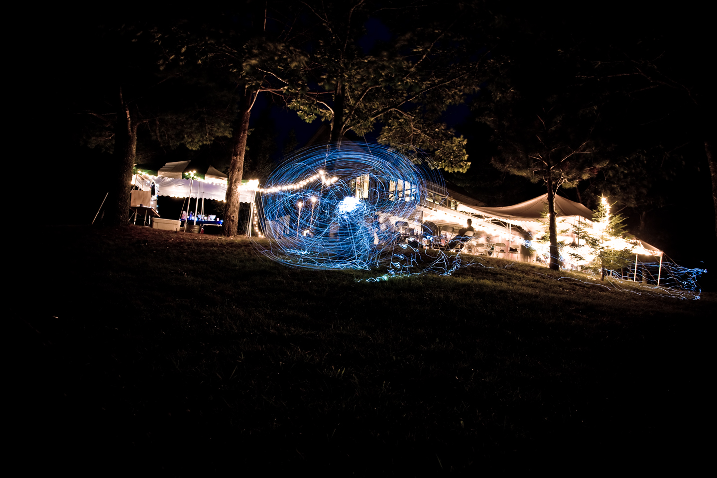
Light trails
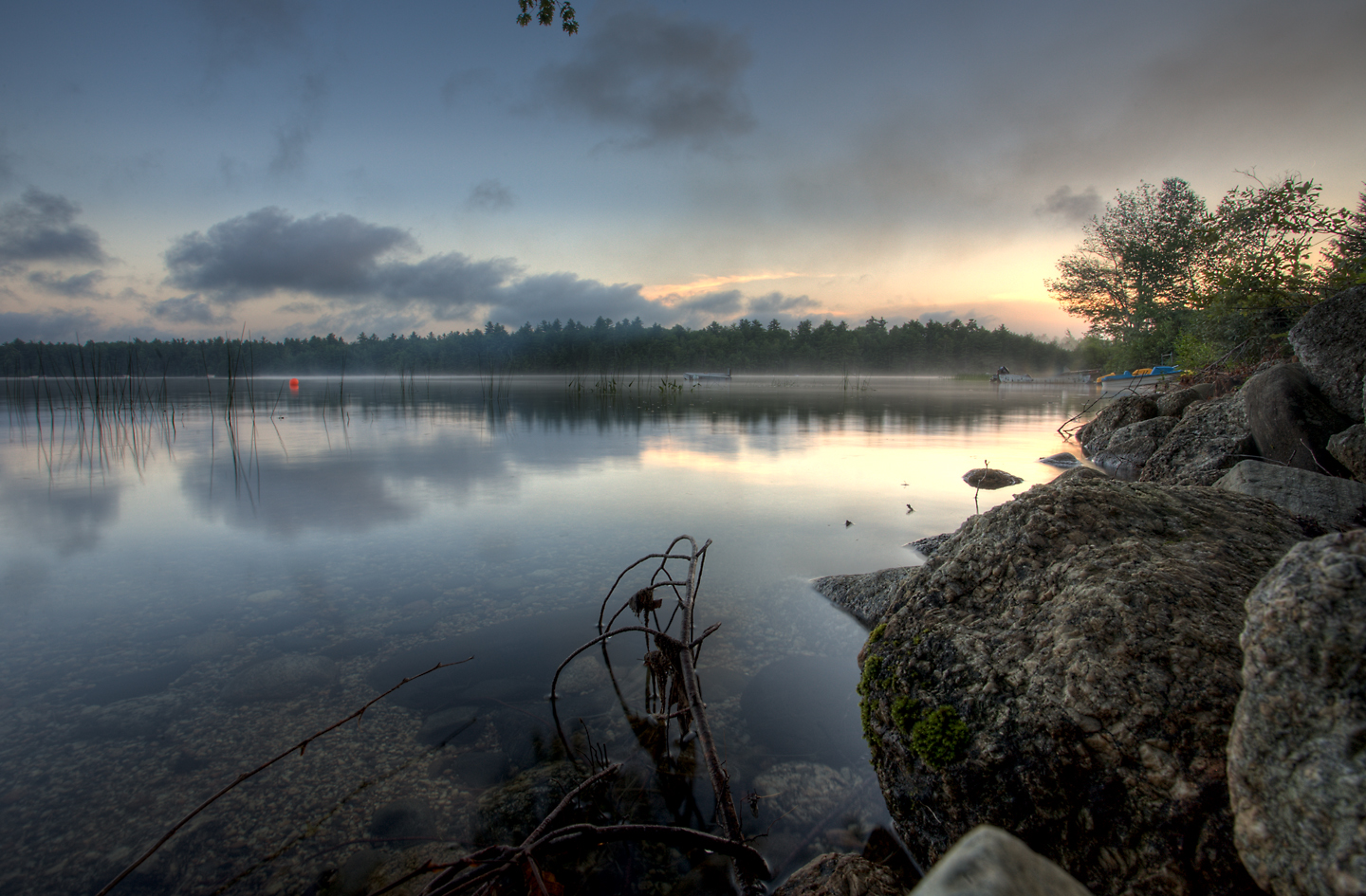
A misty Toddy Pond
Penobscot Observatory
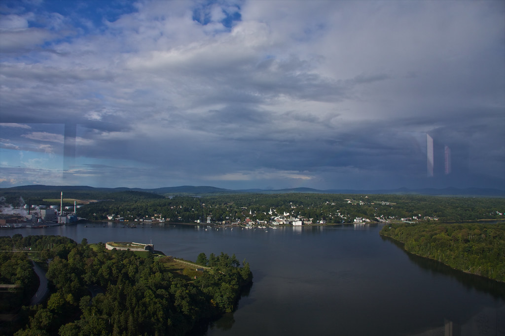
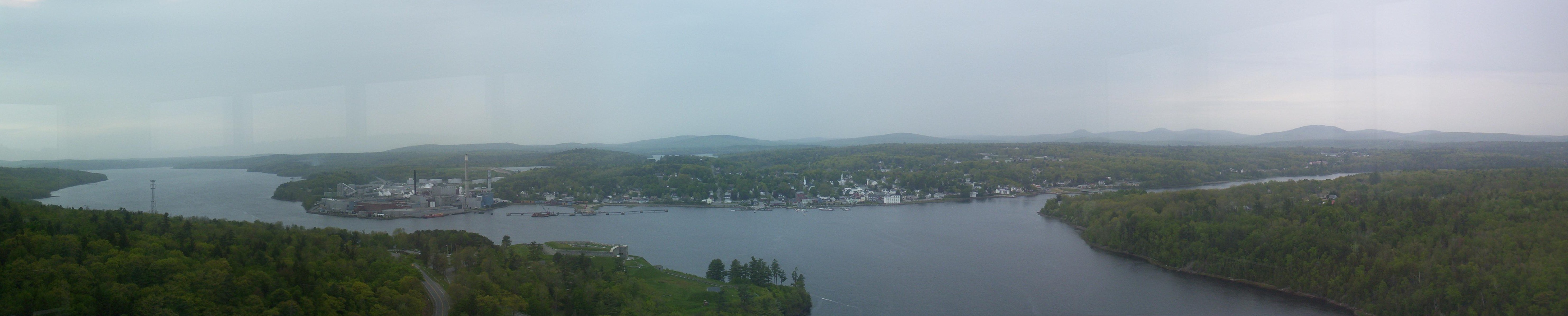
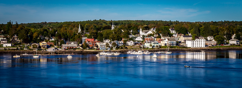
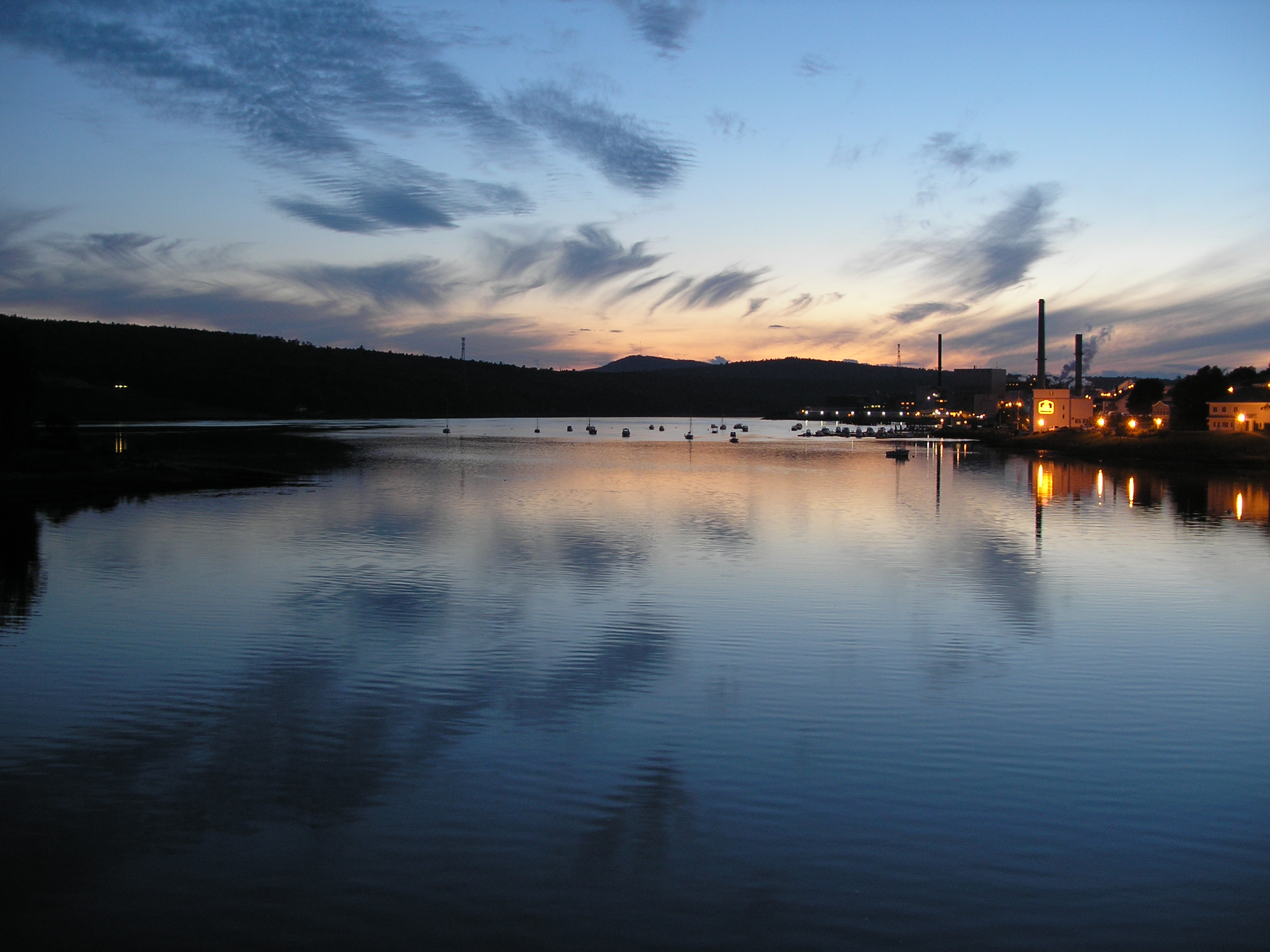
View of Bucksport
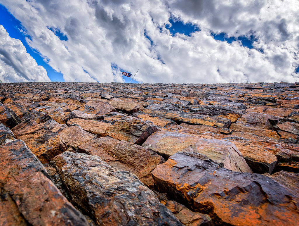
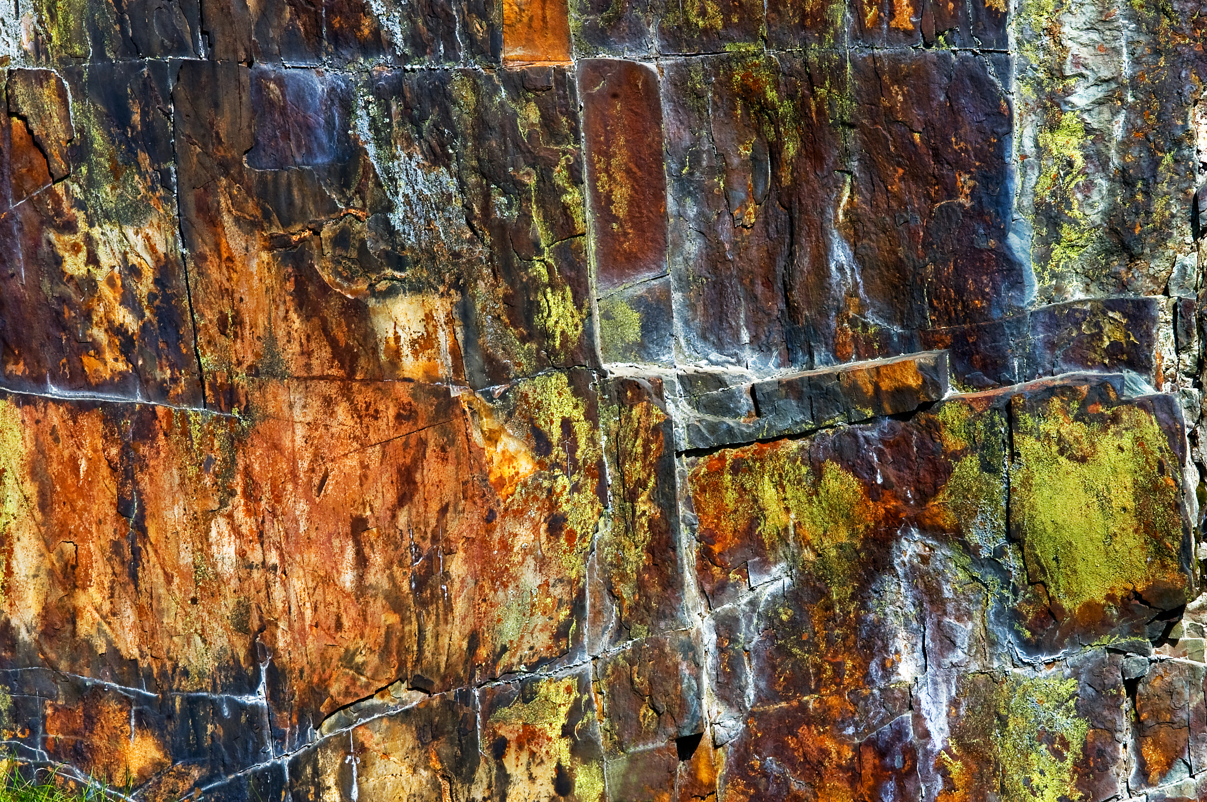
Rust Can Be Beautiful
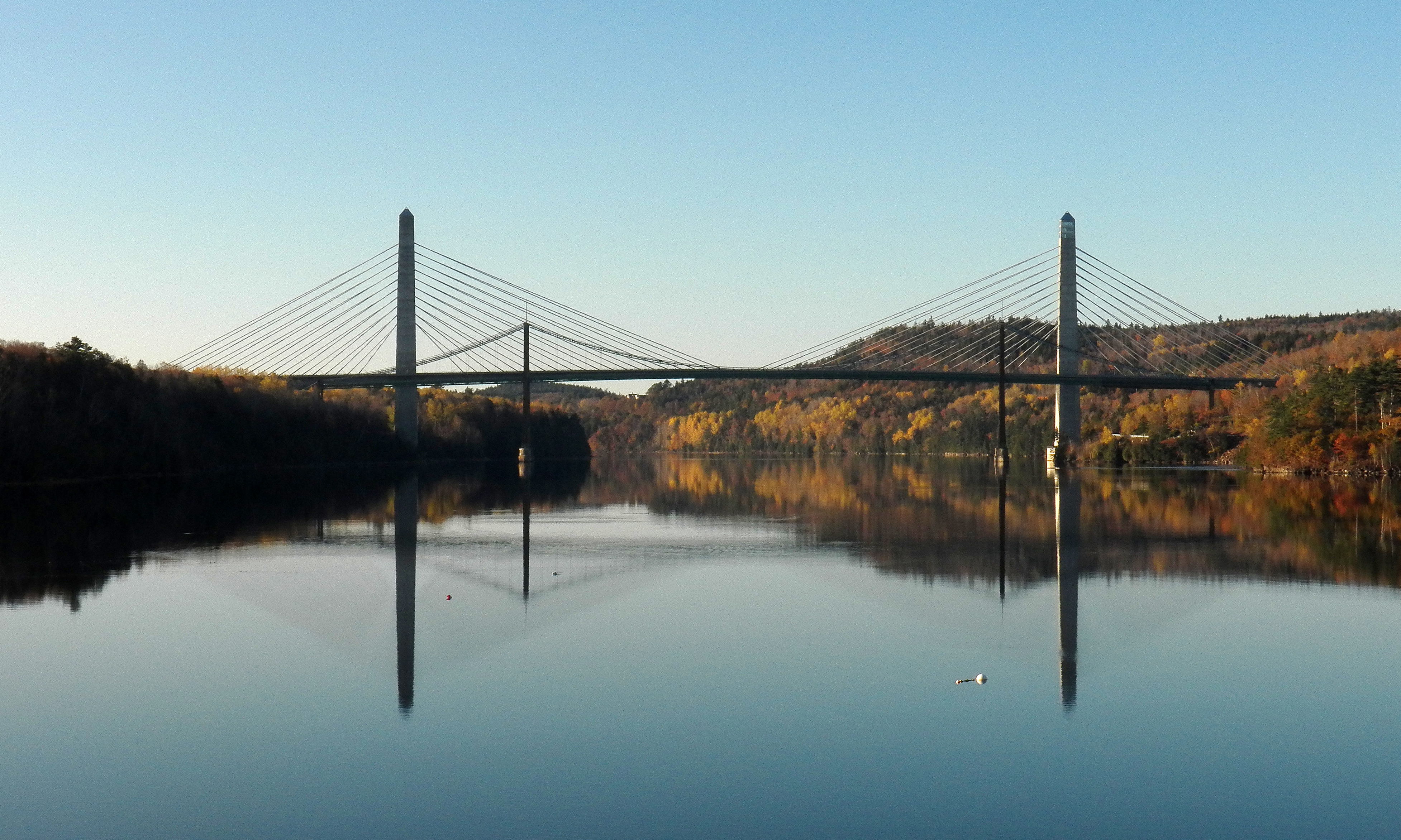
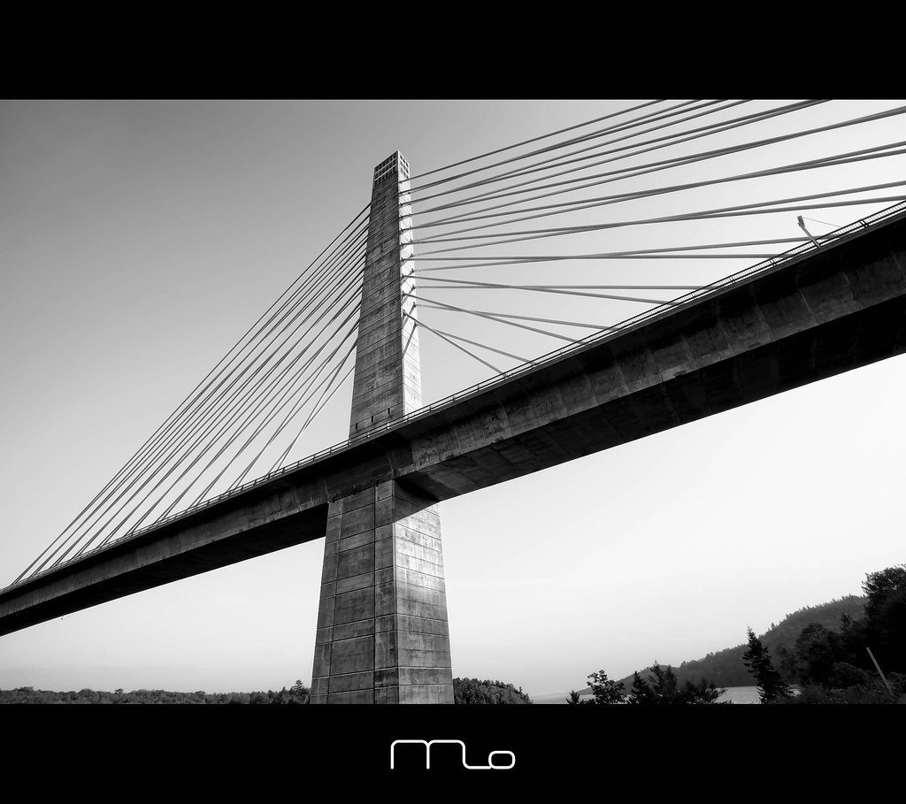
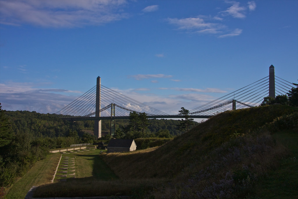
Penobscot Narrows Bridge and Observatory
Penobscot Narrows Bridge and Observatory, Maine
Fort Point Lighthouse, Maine
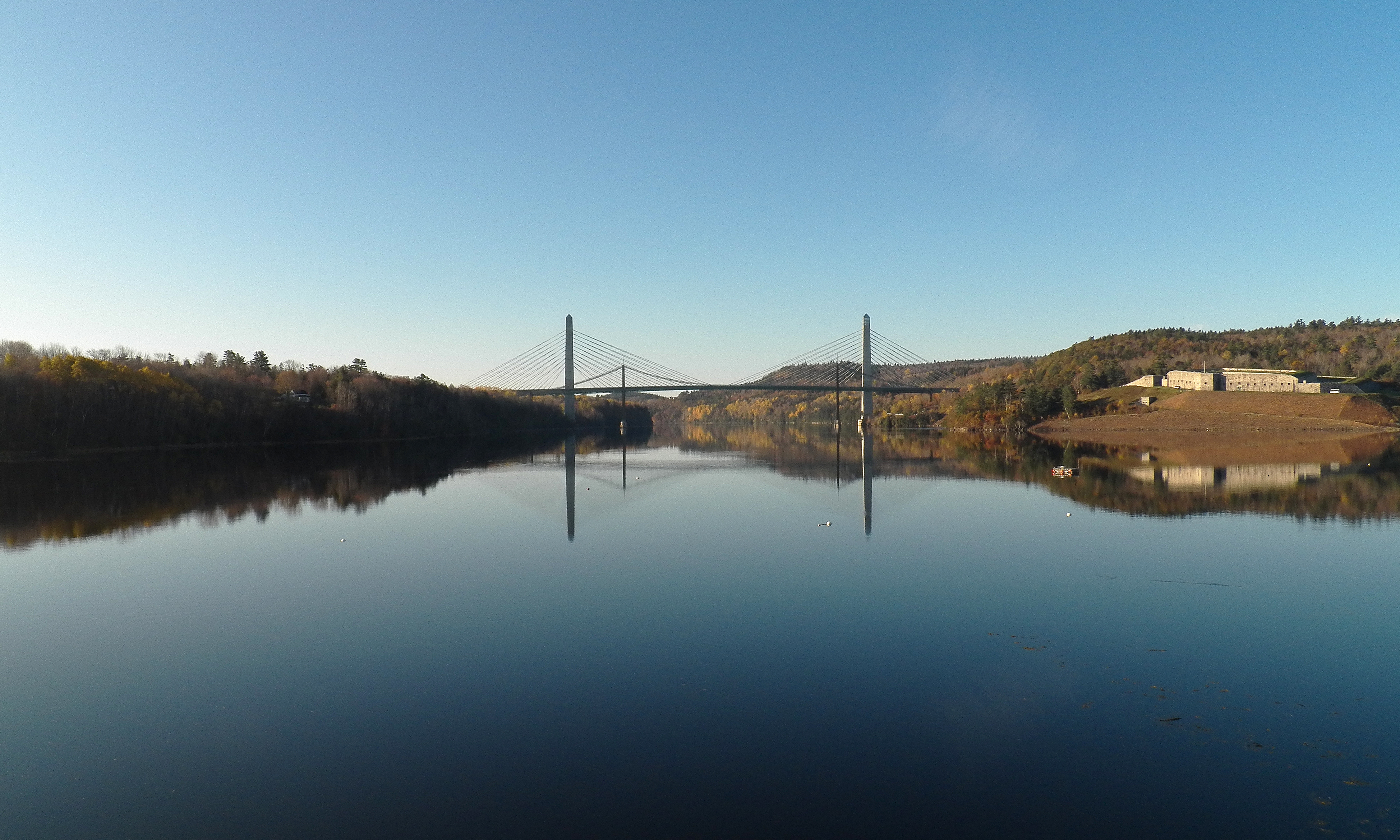
Penobscot Narrows Bridge and Fort Knox
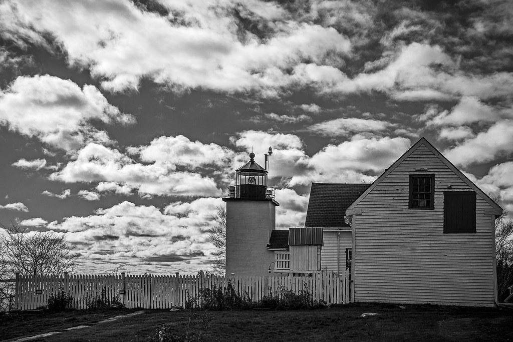
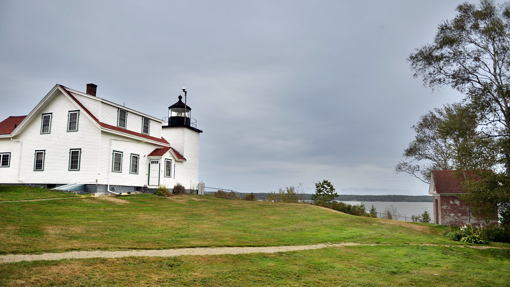
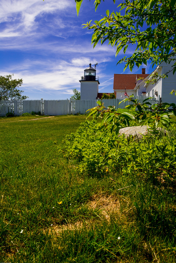
Fort Point Lighthouse
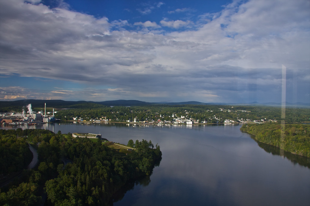
View of Bucksport
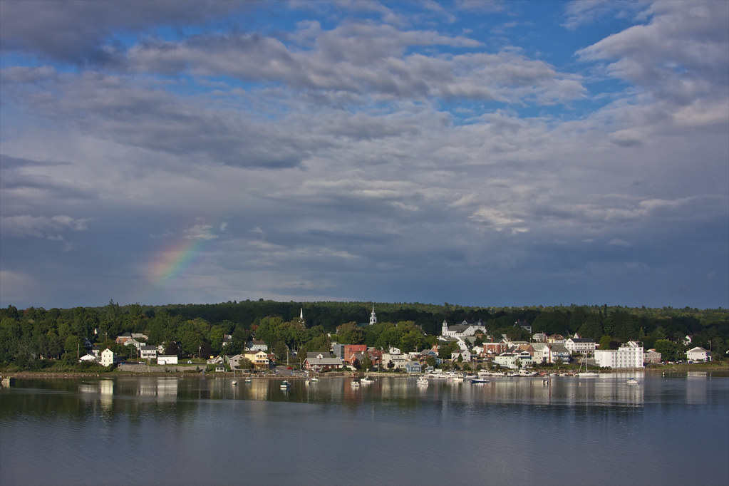
View of Bucksport
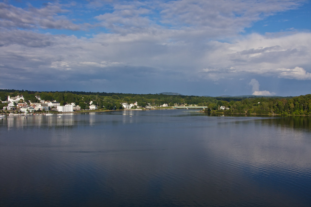
View of Bucksport
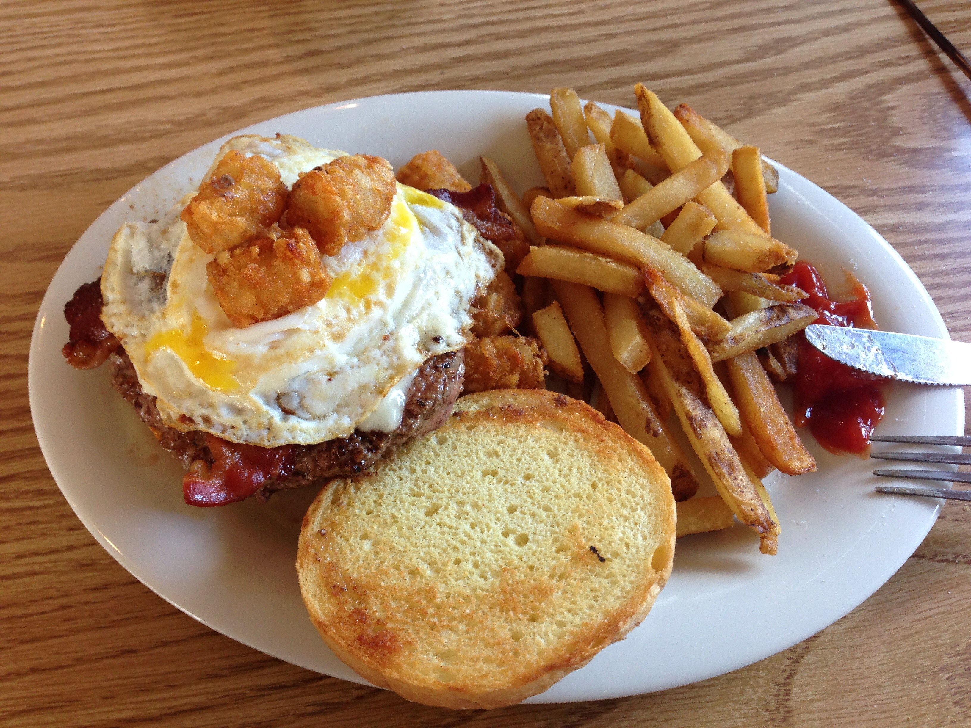
Burger at Harbor View Grille
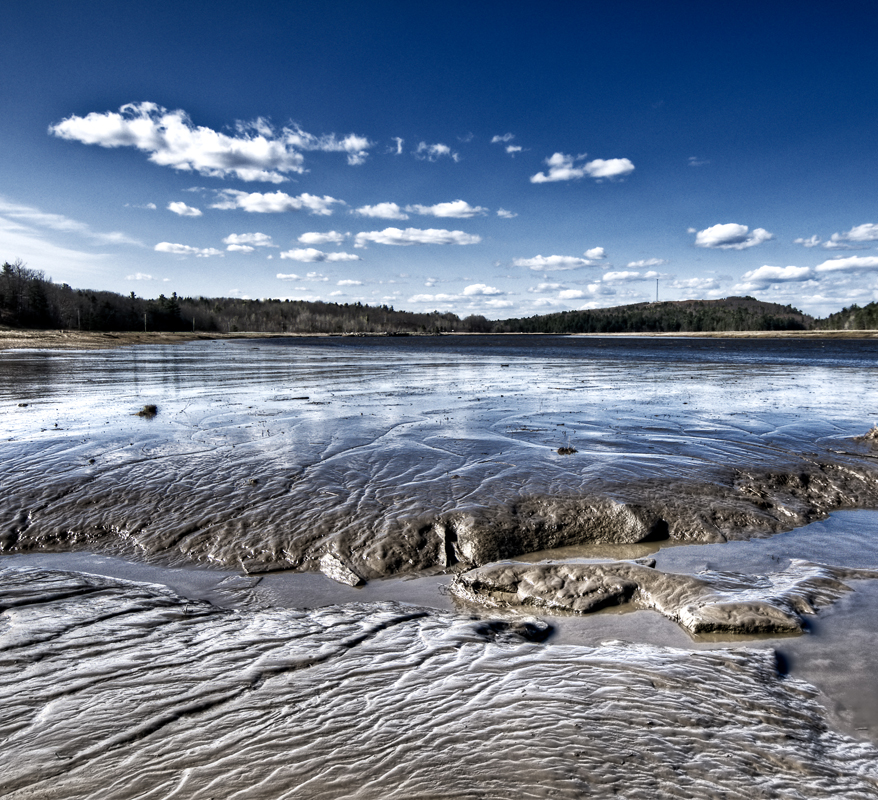
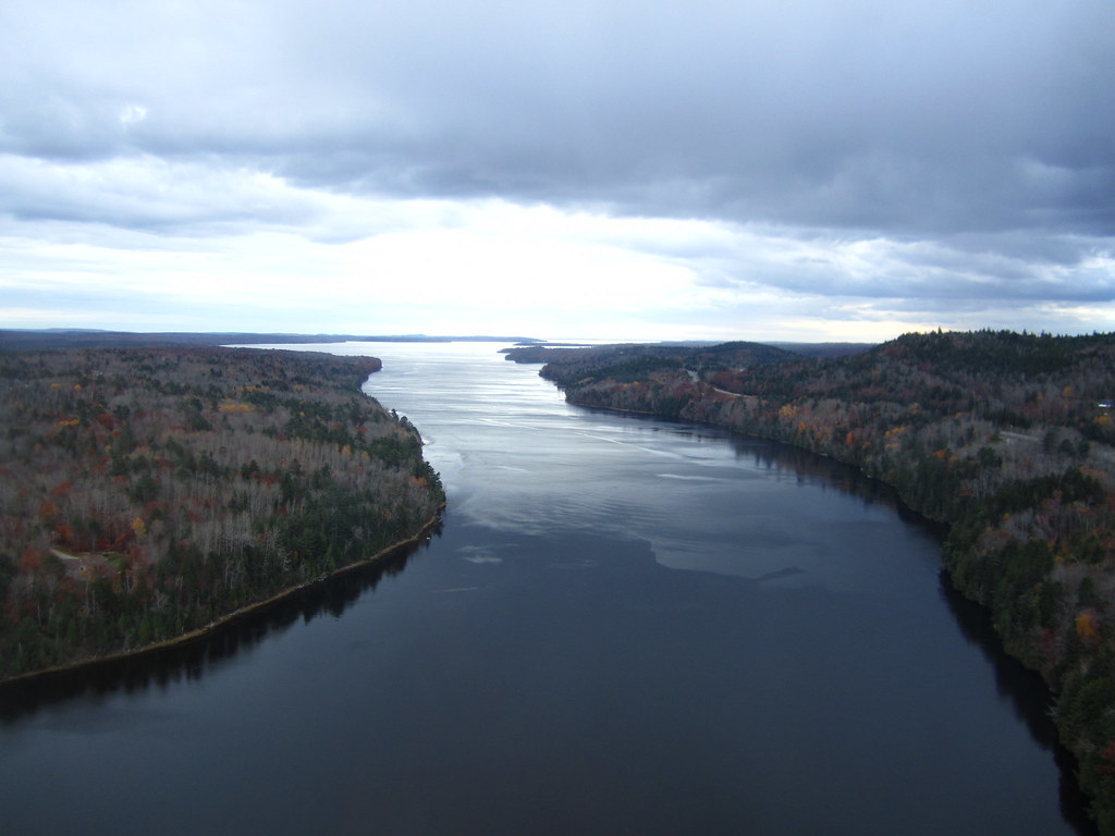
Mud to Sky

View of Bucksport
View from the Observatory
Observatory - 1
View of Penobscot Narrows Bridge and Observatory
View from the Bucksport Bridge

Some people say the sky is just the sky, but I say...

2013-07-06 17.18.35
#camplife #maine
Penobscot Narrows bridge, Maine
View of Bucksport
Patten Pond at night under a Full Moon
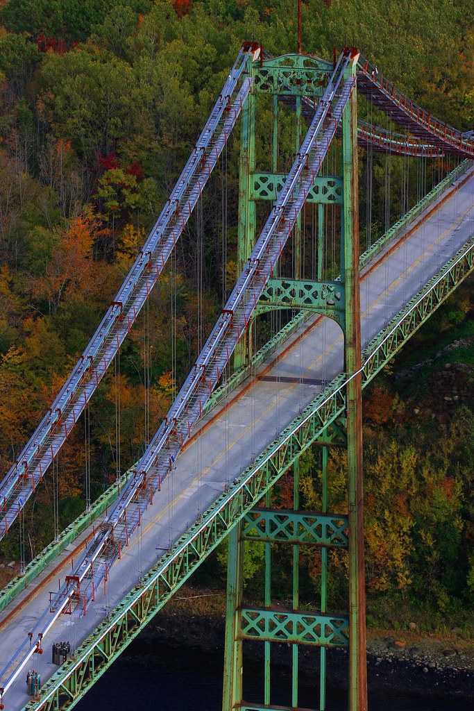
Fort Knox
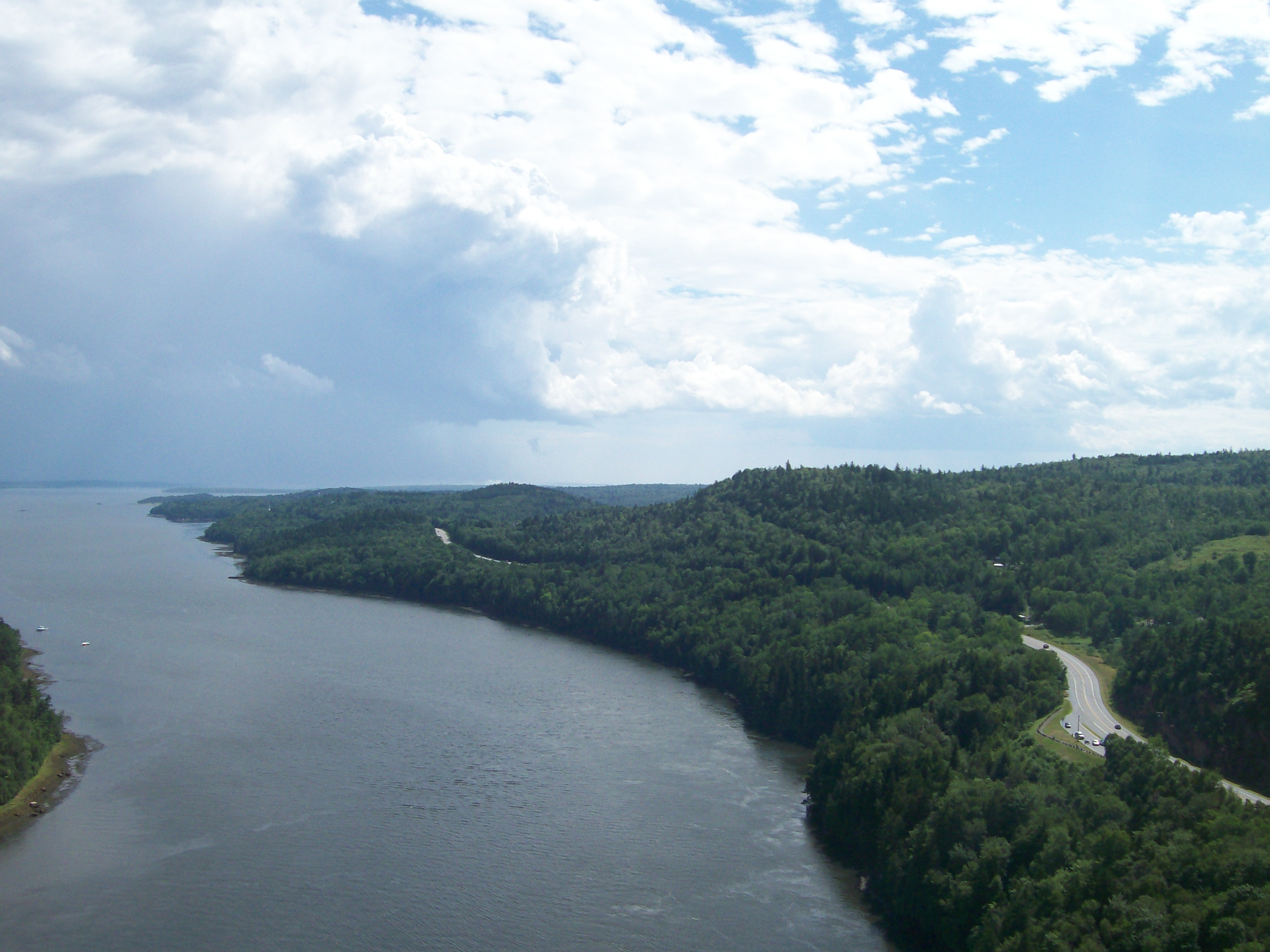
Rural Maine
Rainy sunrise

Vortherms Maine Vacation-858
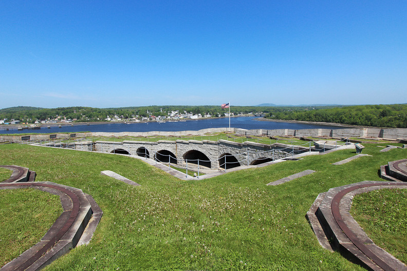
Hardened embankment below Fort Knox near Battery A
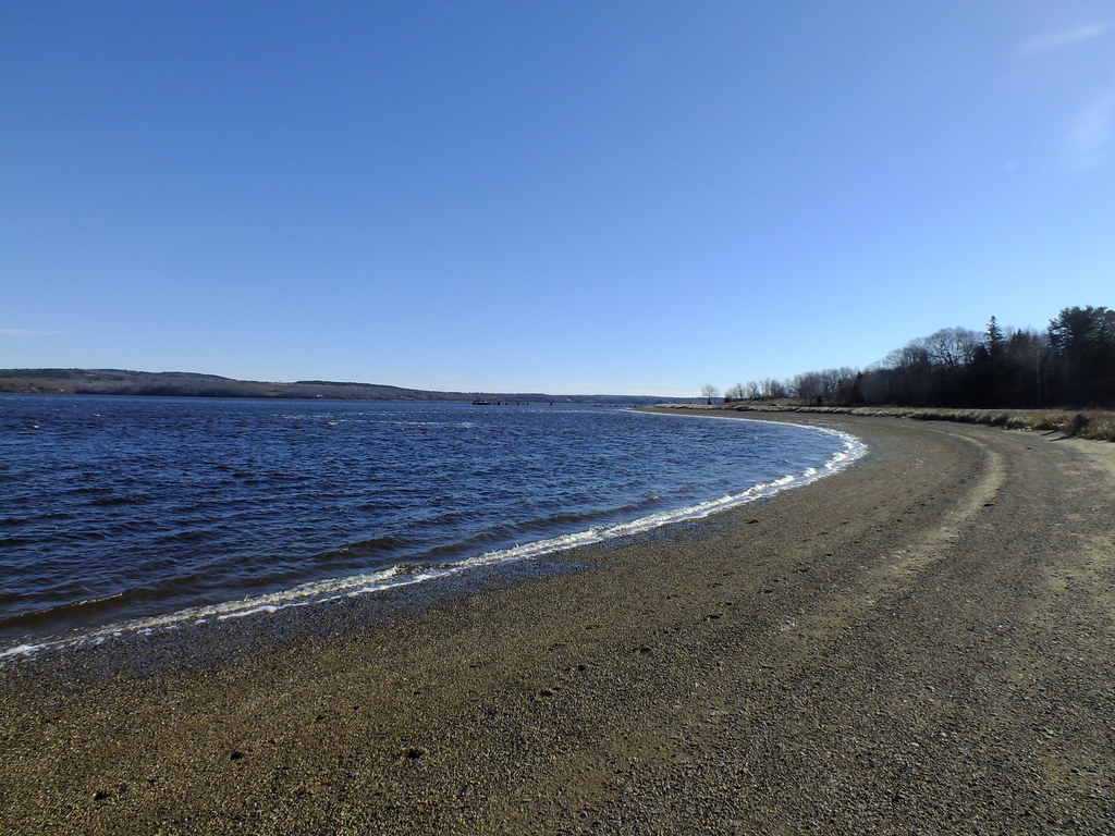
Sandy Point Beach
2006Jul Acadia part1 (28)
Shore 3883
Roadside Rock

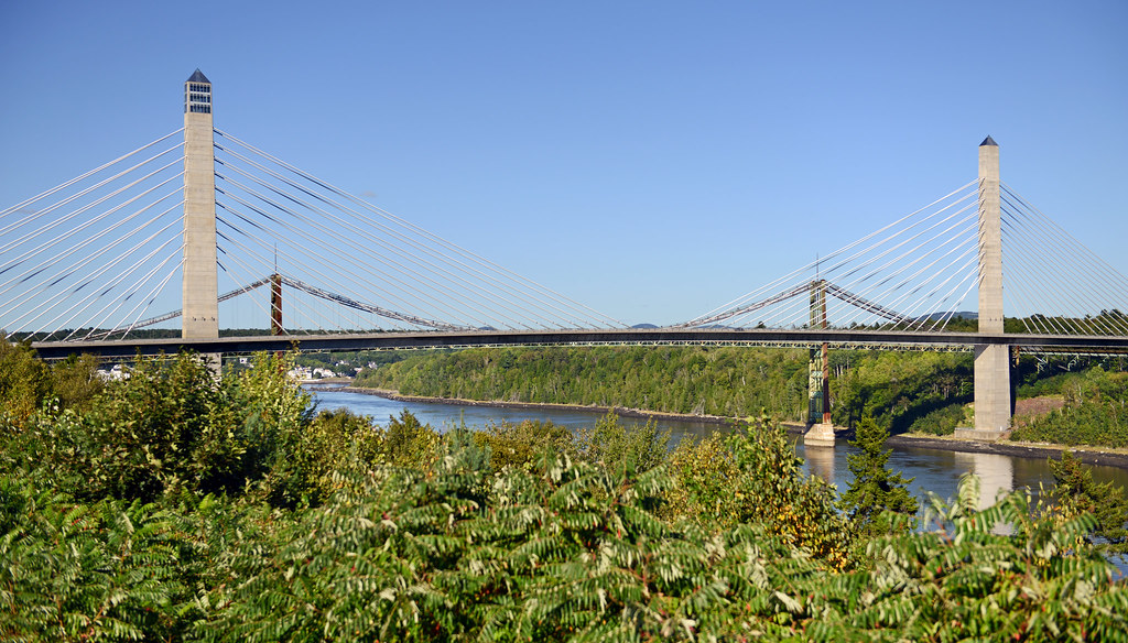
Penobscot Narrows Bridge & Observatory
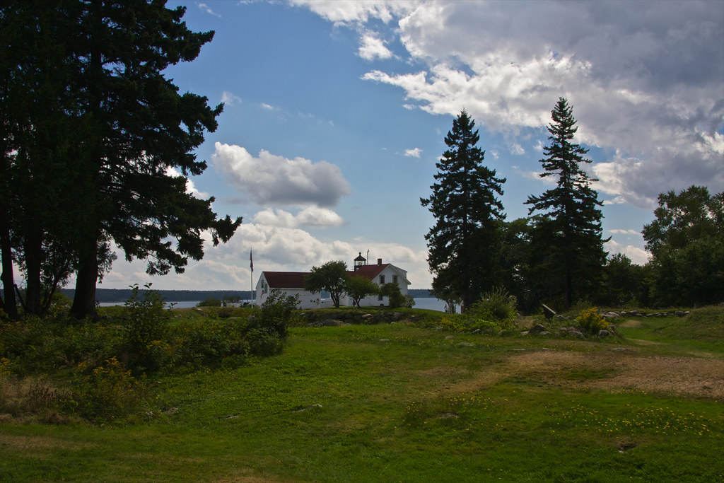
Fort Point Light House.
Fort Point Light
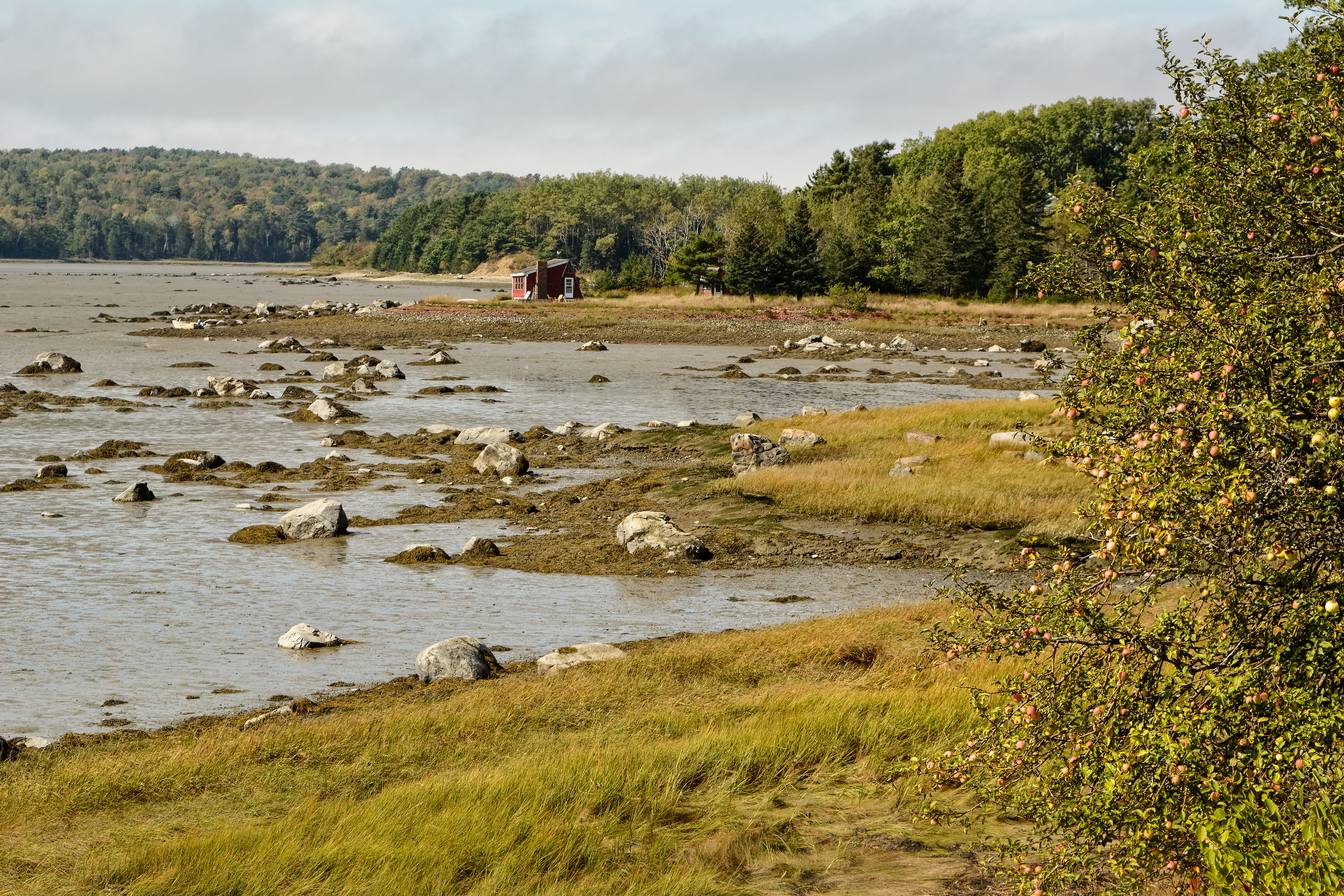
future pond site
Topographic Map of Castine Rd, Orland, ME, USA
Find elevation by address:

Places near Castine Rd, Orland, ME, USA:
270 East Side Dr
473 Leaches Point Rd
Leaches Point Road
38 Strawberry Rd
178 East Side Dr
178 East Side Dr
178 East Side Dr
1170 Castine Rd
Orland
32 Leaches Point Rd
224 West Side Dr
82 East Side Dr, Verona Island, ME, USA
81 West Side Dr
1598 Castine Rd
1598 Castine Rd
1 Nicholson Ave
1 Nicholson Ave
1 Nicholson Ave
Verona Island
U.s. Highway 1
Recent Searches:
- Elevation of Woodland Oak Pl, Thousand Oaks, CA, USA
- Elevation of Brownsdale Rd, Renfrew, PA, USA
- Elevation of Corcoran Ln, Suffolk, VA, USA
- Elevation of Mamala II, Sariaya, Quezon, Philippines
- Elevation of Sarangdanda, Nepal
- Elevation of 7 Waterfall Way, Tomball, TX, USA
- Elevation of SW 57th Ave, Portland, OR, USA
- Elevation of Crocker Dr, Vacaville, CA, USA
- Elevation of Pu Ngaol Community Meeting Hall, HWHM+3X7, Krong Saen Monourom, Cambodia
- Elevation of Royal Ontario Museum, Queens Park, Toronto, ON M5S 2C6, Canada