Elevation map of U.S. Highway 1, US-1, Maine, USA

Location: United States > Maine > Hancock County > Bucksport >

Longitude: -68.787582

Latitude: 44.5711545

Elevation: 9m / 30feet

Barometric Pressure: 101KPa

Elevation Map:

elevation map of U.S. Highway 1, US-1, Maine, USA

Satellite Map:

Satellite map of U.S. Highway 1, US-1, Maine, USA

Related Photos:

idaho us usa america perrine memorial bridge highest snake river twinfalls thousand springs scenic byway onasill historical nrhp register view evel rockets knievel motorcycles daredevil green valley canyon id outdoor historic landmark sky clouds sunset foliage snakeriver twin falls tqwinfalls truss arch western unitedstates hwy 93 jeromecounty magic landscape
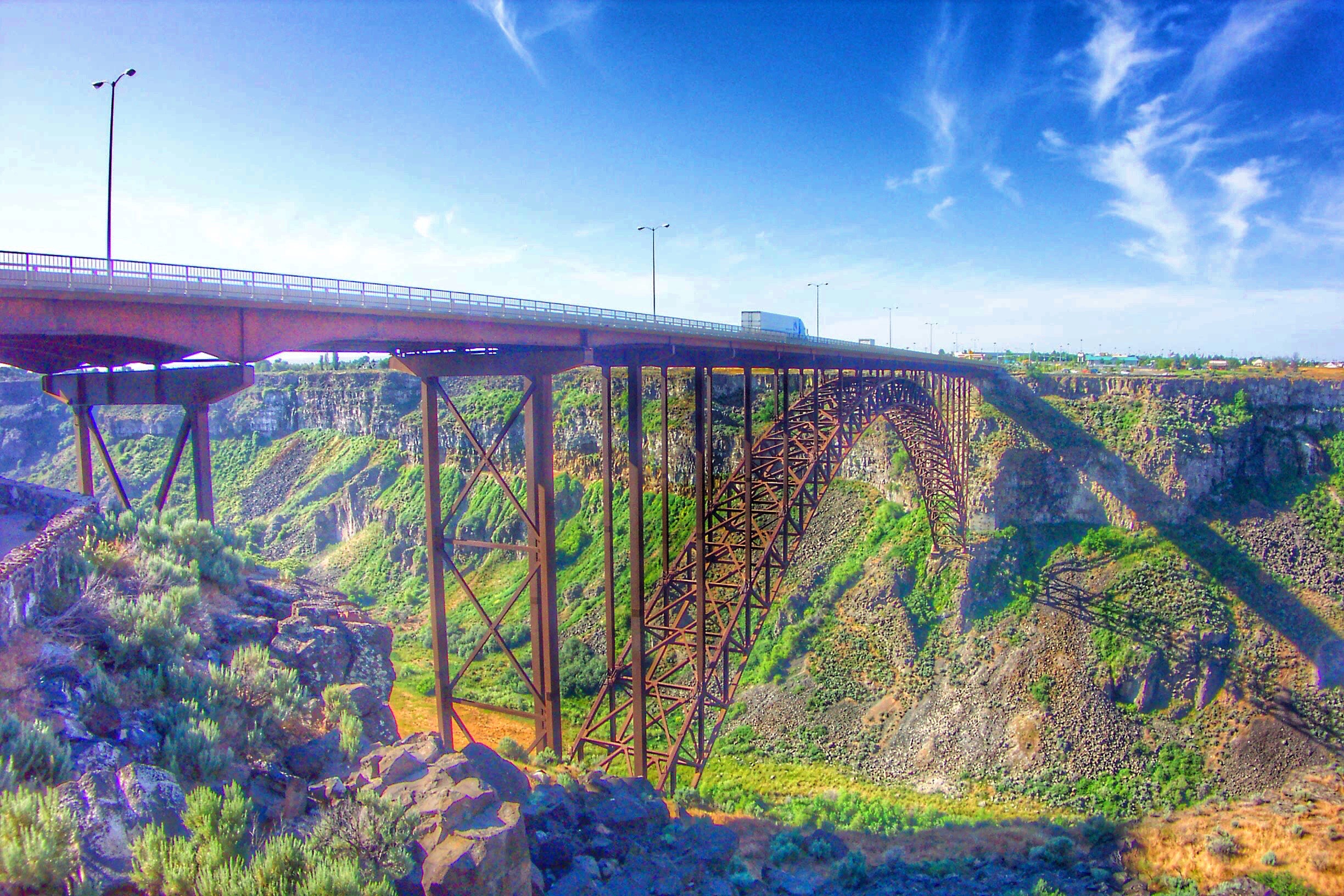
Perrine Memorial Bridge ~ Highest Bridge in Idaho ~ Twin Falls ID
road morning travel red arizona sky usa sun mountains southwest nature colors beautiful yellow clouds america sunrise wonder landscape early utah amazing hit nikon sandstone holidays butte view shot desert tripod sigma roadtrip wilderness navajo monumentvalley vacancy sonnenaufgang hdr mesa bluff 2010 tafelberg coloradoplateau stativ navajonation photomatix travelphotographie wolfgangstaudt 66111 nikond300
Valley Of The Rocks
idaho us usa america perrine memorial bridge highest snake river twinfalls thousand springs scenic byway onasill historical nrhp register view evel rockets knievel motorcycles daredevil green valley canyon id outdoor historic landmark sky clouds sunset foliage snakeriver twin falls tqwinfalls truss arch western unitedstates hwy 93 jeromecounty magic
Perrine Memorial Bridge ~ Hightest Bridge in Idaho ~ Twin Falls ID
lake placid ny new york adirondack mts mountains whiteface wilmington newyork state essexcounty travel tourist site landmarks elevator high peak summit ski area hiking trekking sight motor vehicle 4600 feet tunnel great view scenic onasill canon eos rebel sl1 18250mm macro sigma sky clouds sunset cabin entrance fee
White Face Mountain - Adirondack Mountains - New York State - Entrance
ocean road birthday street travel light sunset orange usa sun west color colour reflection tree cars wet water car rain tarmac yellow backlight america river ma coast us nikon ray power unitedstates bass capecod massachusetts united unitedstatesofamerica von cable atlantic east route electricity cape rays states dennis amerika cod philipp hdr counterlight staaten klinger route28 vereinigte of d700 vanagram dcdcdead
Cape Cod - Sunset over Massachusetts Route 28
stars scenic moonlight nightsky starry blm darksky starrynight stargazing bureauoflandmanagement bwick conservationlands nationalconservationlands seeblm blmproud conservationlands15
February #conservationlands15 Social Media Takeover: Top 15 Places on National Conservation Lands for Night Sky Viewing
monument valley utah west east mittens buttes breaking sandstorm high res mcgucken fine art photography sunset epic desert western film landscape american nikon d810 28300mm nikkor zoom lens john ford wayne movie
Monument Valley Utah West & East Mittens Buttes Breaking Sandstorm High Res McGucken Fine Art Photography Sunset! Epic Utah Desert Western Film Landscape! American West! Nikon D810 & 28-300mm Nikkor Zoom Lens! John Ford John Wayne Movie Scenic Vista View
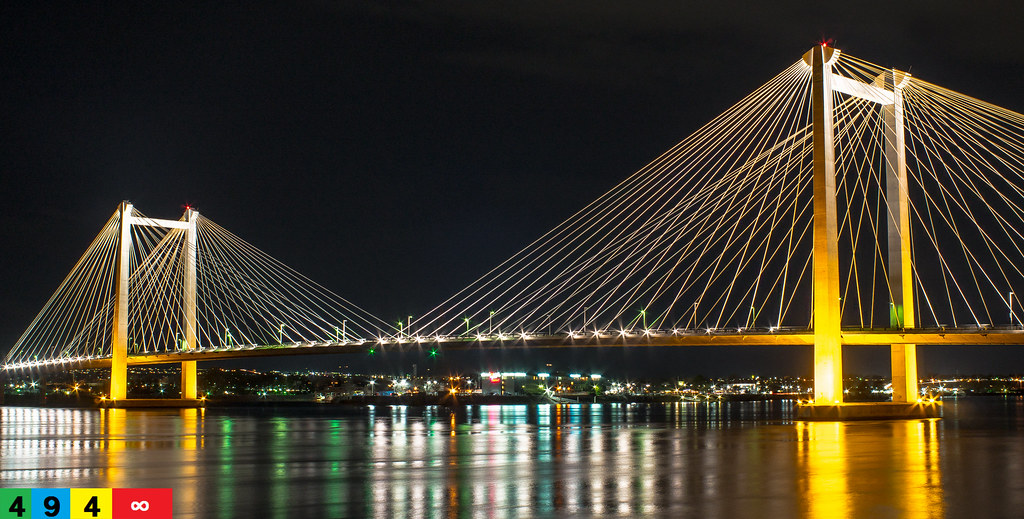
The Ed Hendler Bridge: A Tri-Cities Cable Bridge
arizona ferry landscape 500v20f paisaje cliffs 2550fav backroad nationalmonument lees vermilion leesferry vermillion marblecanyon coloradoplateau naturesfinest 89a 50v5f vermilioncliffs flickrsbest 123faves us89a outdoorbeauty アリゾナ州 alhikesaz coloradoplateaupool
Vermilion Cliffs Arizona Sunrise
ocean city cliff usa beach nature clouds oregon landscape scenery rocks waves view cliffs kiteboarding kitesurfing oregoncoast lincolncity
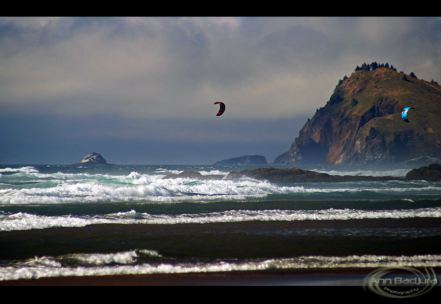
Kite surfers at the Oregon Coast, USA
usa sunrise landscape utah hwy89 coloradoplateau utahstateroad89
Asay Creek
city longexposure bridge light panorama usa reflection art water colors minnesota skyline architecture buildings reflections river mississippi boat spring nikon downtown cityscape traffic dam trails minneapolis blues pedestrian led waterfalls mn usbankstadium
minneapolis minnesota downtown skyline - river city architecture blues usa
nationalroad89 89 desert painteddesert arizona usa summer bluesky mountains clouds roadtrip stones navajo landscape desertlandscape wilderness nikon nikond70 sigma штатарызона অ্যারিজোনা travel tourist travelphotographie アリゾナ州 reisefotografie அரிசோனா wolfgangstaudt tripod 66111 أريزونا beautiful amazing southwest desierto hopi desiertopintado violet blue gold red flickrdiamond nationalpark вялікіканьён グランド・キャニオン پارکملیگراندکانیون
U.S. Route 89
stars scenic moonlight nightsky starry blm darksky starrynight stargazing bureauoflandmanagement bwick conservationlands nationalconservationlands seeblm blmproud conservationlands15
February #conservationlands15 Social Media Takeover: Top 15 Places on National Conservation Lands for Night Sky Viewing
usa beach oregon landscape coast scenery view cliffs pacificocean oregoncoast ottercrest ottercrestloop annbadjura
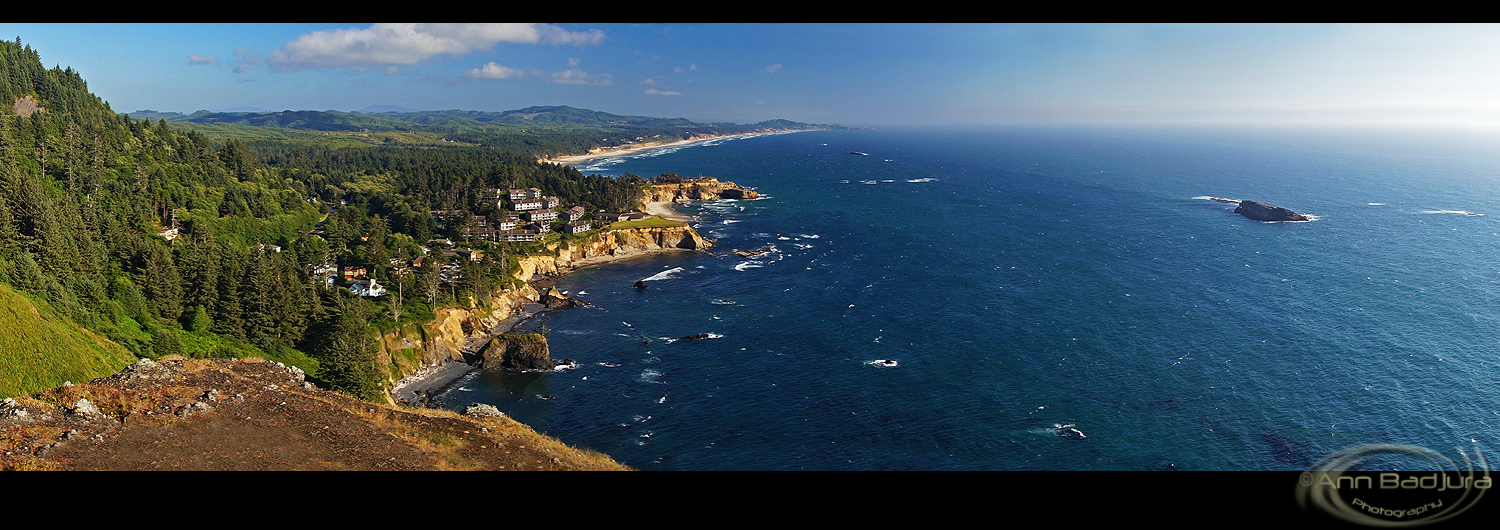
Otter Crest Panorama, Oregon Coast
ocean california trip travel sunset sea usa west nature colors america landscape lights coast seasons view pacific unitedstatesofamerica bigsur perspectives places romantic flickaward tripleniceshot
Big Sur Landscape
california park usa inspiration snow clouds america point landscape photography us waterfall spring veil view united tunnel falls glacier national yosemite halfdome states bridal elcapitan darvin ヨセミテ 5photosaday 요세미티 atkeson カリフォルニア州 darv 캘리포니아 美国加州 liquidmoonlightcom 约塞米蒂
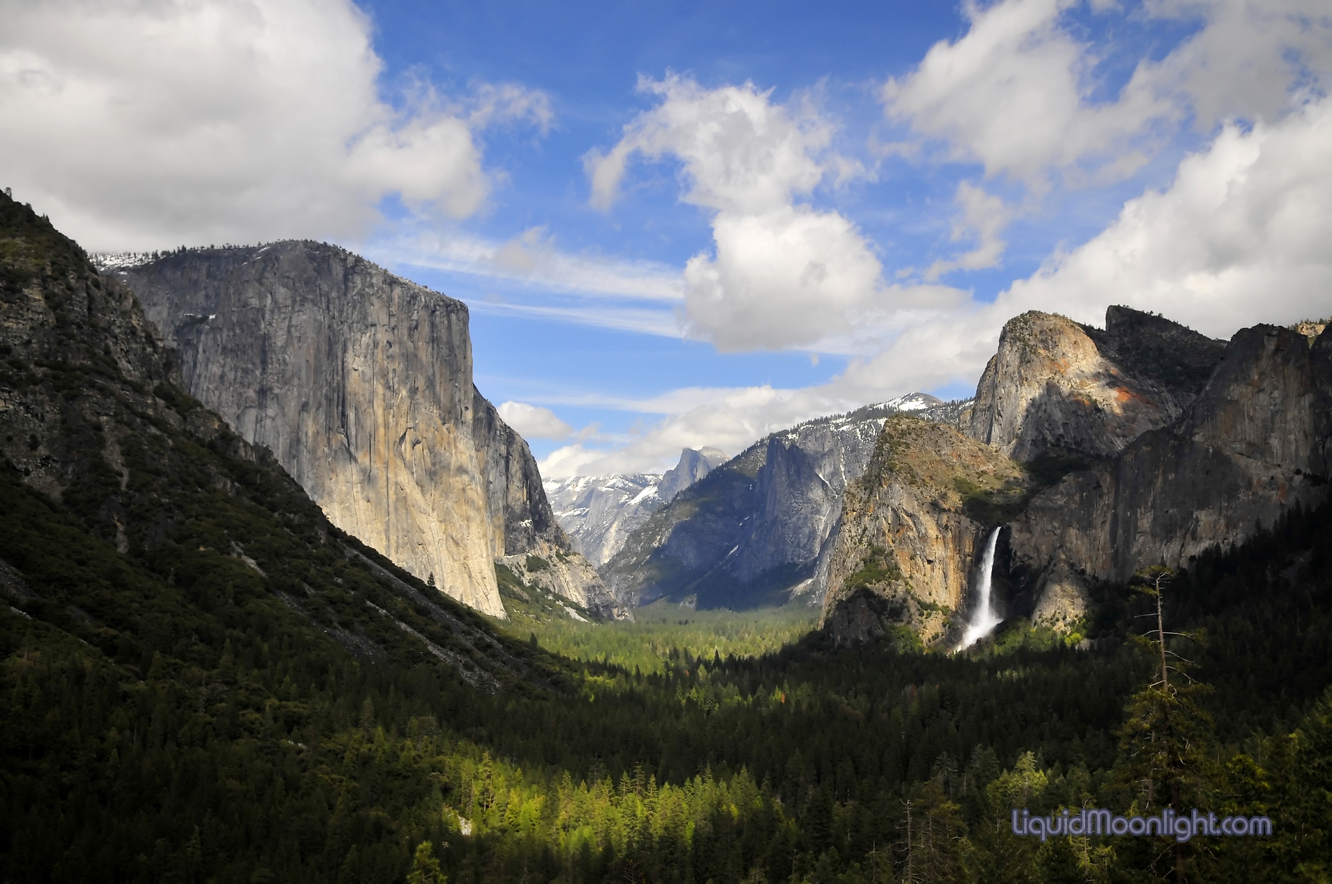
Yosemite Valley, California
autumn canada pinnaclemountain larch tamarack templemountain canadianrockymountains larchvalleytrail morainelaketrail eiffelpeak sentinelpasstrail
Trail through Larch Valley
ocean sunset sky usa beach nature oregon landscape sand waves view logs oregoncoast lincolncity blinkagain bestofblinkwinners
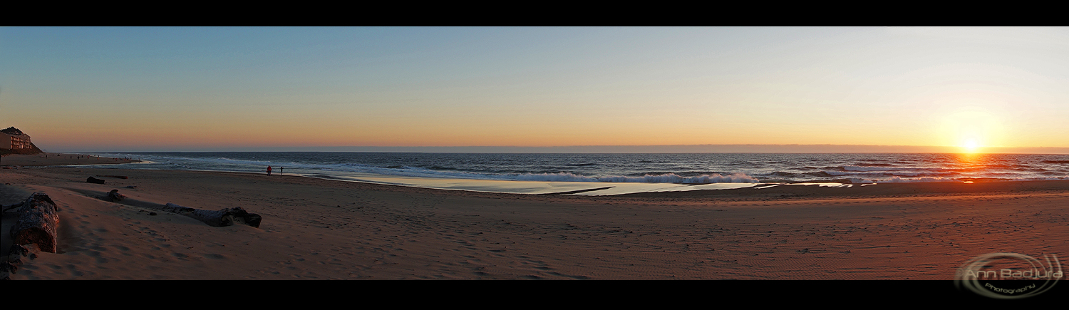
Oregon Coast panorama at sunset
dinosaurnationalmonument yellowwildclover wildflowersandsage coloradosectionofdinosaurnationalmonument
Roll down the windows
ocean sunset usa beach grass oregon landscape scenery view oregoncoast lincolncity
Oregon Sunset
sunset gulfofmexico interesting unitedstates florida explore westside islamorada 700views us1 southflorida floridabay overseashighway thefloridakeys explored sunsetwednesday milemarker84 quartasunset nooilyet quartasunsetgroup villageofislands quartasunset21 bestposition67~71310
Islamorada ~ Quarta Sunset 21
wood blue arizona sun mountain hot west macro tree texture sunshine yellow rock plane john landscape drive bush weed cowboy butte ray tour hand close view desert natural state walk famous wayne country border scenic surreal dry sunny grand twist landmark scene right icon tourist canyon hike line east erosion bark valley frame heat canyonlands wise getty glove geology mound left plain twisted tumble arid hdr tumbleweed mitten
..a lovely butte ;)
park vacation arizona west monument mystery landscape drive utah colorado tour scenic parks tribal national flagstaff valley canyonlands navajo kayenta mesa stagecoach mittens guided hunts mygearandme ‘geo tag’ ”johnford” ”johnwayne” ”fourcorners”
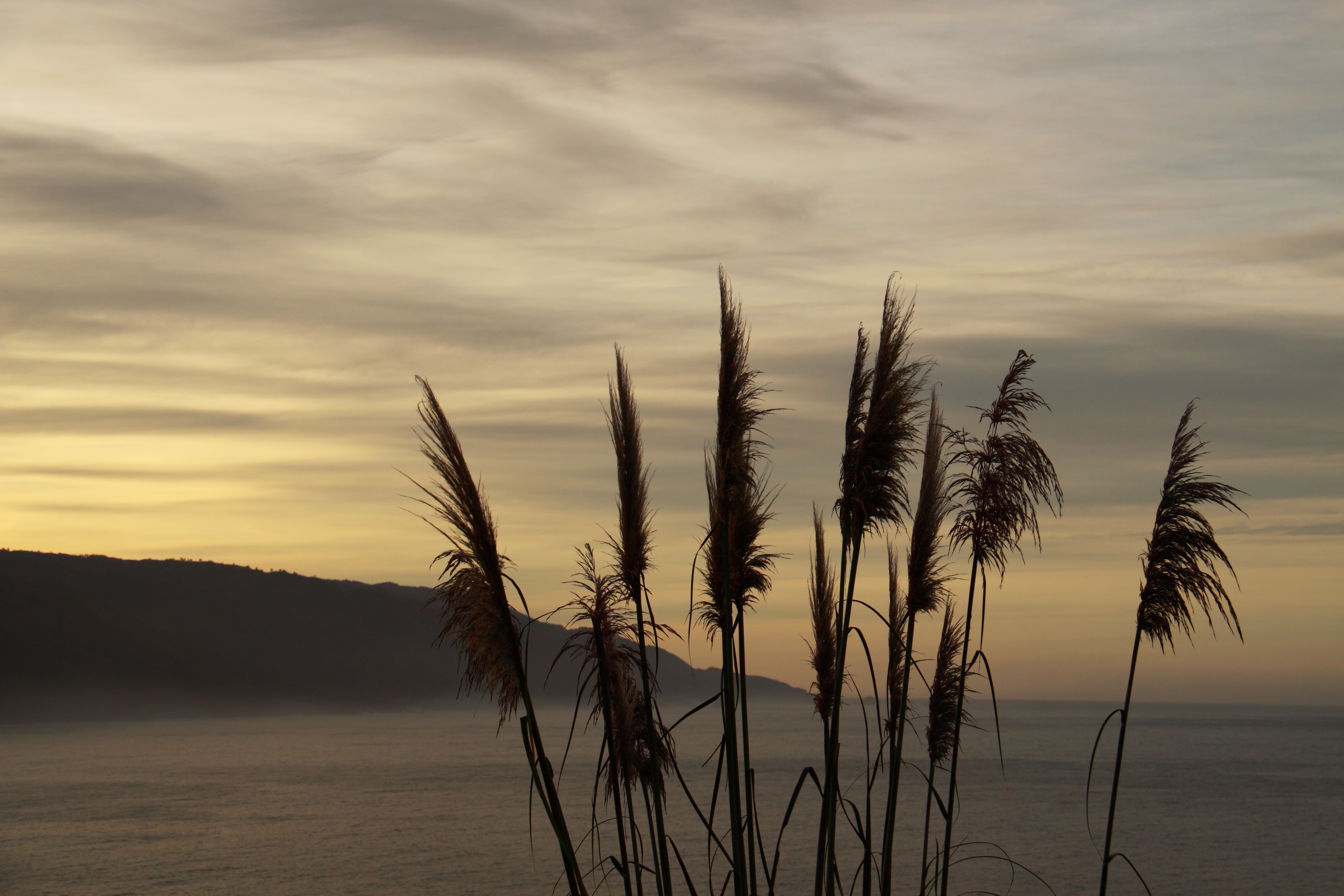
Highway to Immensity
kananaskiscountry canadianrockies canadaroadtrip autumnreflections canmorealberta highway742 aspenandcottonwoodautumn
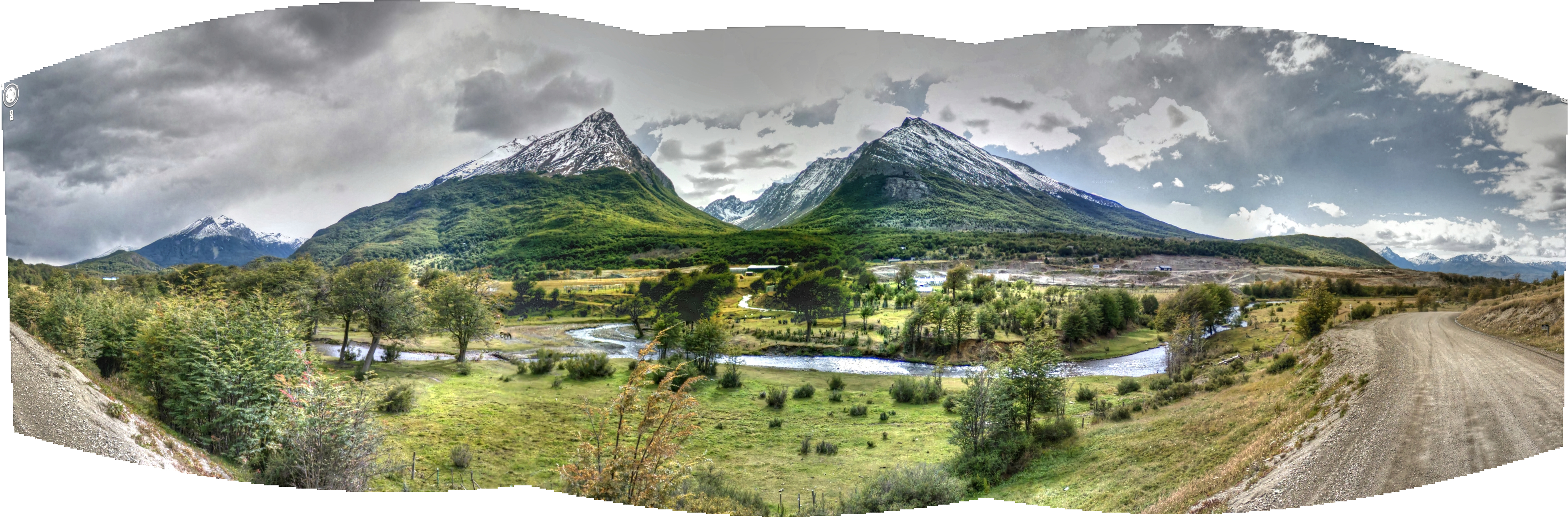
Kananaskis country fall glory
street argentina trek tierradelfuego google view panamerican gsv googlestreetview kevindooley
Pan-American Trek – Google Street View - Process explained
clouds sunrise utah sandstone desert monumentvalley mesa bluff navajonation
Monument Two
usa sunrise landscape utah hwy89 coloradoplateau utahstateroad89
U.S. Route 89 Utah
ocean sanfrancisco california park travel family friends light sunset party summer portrait music food cliff usa lighthouse white lake holiday seascape green art beach nature water girl rock architecture clouds sunrise canon vintage garden landscape fun photography hostel model rocks long exposure waves slow joey mark roadtrip ii bayarea 5d redding ef gitzo mk houle mkii markii frace pigeonpointlighthouse californiabeaches cokin lseries gitzotripod 1635mm 1635mmf28l ndgrad usavacation 5dmarkii joeyhoule pigeonpointlighthousesunrise
Pigeon Point Lighthouse Sunrise
white black west monument landscapes dramatic valley navajo far tsé ndzisgaii biiʼ
Tsé Biiʼ Ndzisgaii
travel sunset summer arizona usa holiday colour nature america landscape photography utah nikon rocks view desert navajo monumentvalley contrasts mesa wow1 wow2 wow3 wow4 wow5 usavacation
Vertical Rock
rock utah sand bluesky indians navajo monumentvalley mittens reddirt themittens butes
the mittens butes monument valley
sunset sky woman seascape laura gulfofmexico nature beautiful silhouette dinner landscape fun bay stand interesting chat colorful glow florida outdoor unique creative silhouettes dramatic free talk bluesky explore reflect wife bayside local ripples westside sailboats drama cloudscape floridakeys conch southflorida fridaynight gloaming girltalk floridabay moored conchrepublic sunscape 165 innovative overseashighway blueclouds summermemories calmseas explored islandchain islamoradaflorida loreleirestaurant bestposition283~63013 1wkonwedfor5years quartasunset300
Girl Talk [explored]
arizona usa mygearandme ringexcellence blinkagain oljatomonumentvalley flickrstruereflection1 flickrstruereflection2 flickrstruereflection3 flickrstruereflection4 flickrstruereflection5 flickrstruereflection6 flickrstruereflection7
Three Sisters
highway beartooth
Beartooth Highway
clouds sunrise utah sandstone desert monumentvalley mesa bluff navajonation
Sunny Landscape II
california flowers marina sony montereycounty flowerfields begonias a57 marinaca sonyalpha sal1650mmf28
Row Crop Color--DSC1803--Marina, CA