Elevation of Carrington Cir, Thomasville, GA, USA
Location: United States > Georgia > Thomas County > Thomasville >
Longitude: -83.976404
Latitude: 30.9107194
Elevation: 76m / 249feet
Barometric Pressure: 100KPa
Elevation Map:
Satellite Map:
Related Photos:
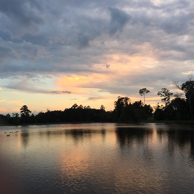
Another amazing view walking around our neighbourhood park, #LakeCherokee #Thomasville #GA #sunset #Lake #exercise #getfit
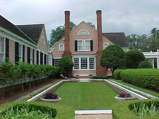
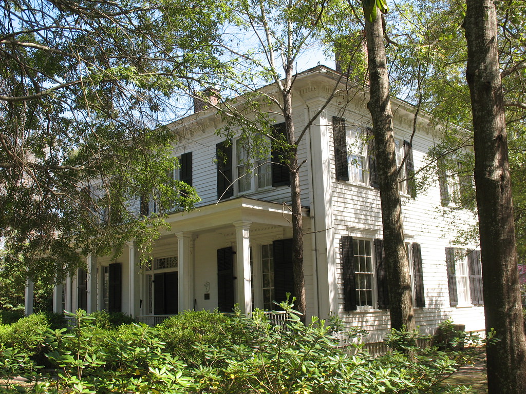
Side view of the house
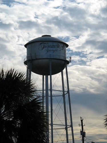
Thomasville Water Tower
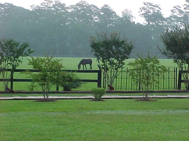
Wonderful view
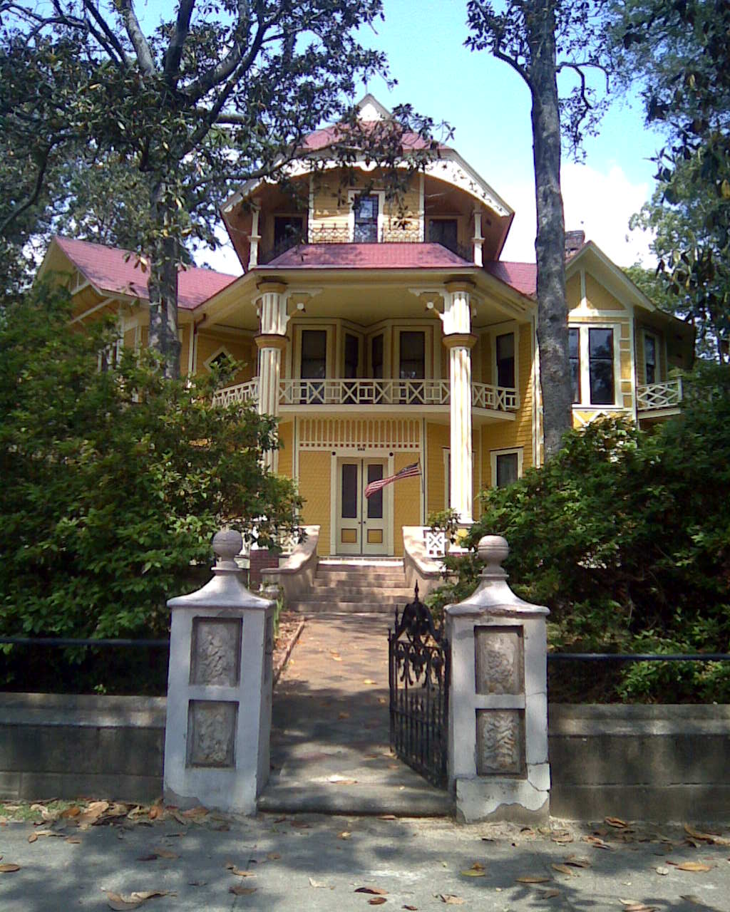
Lapham-Patterson House Street View
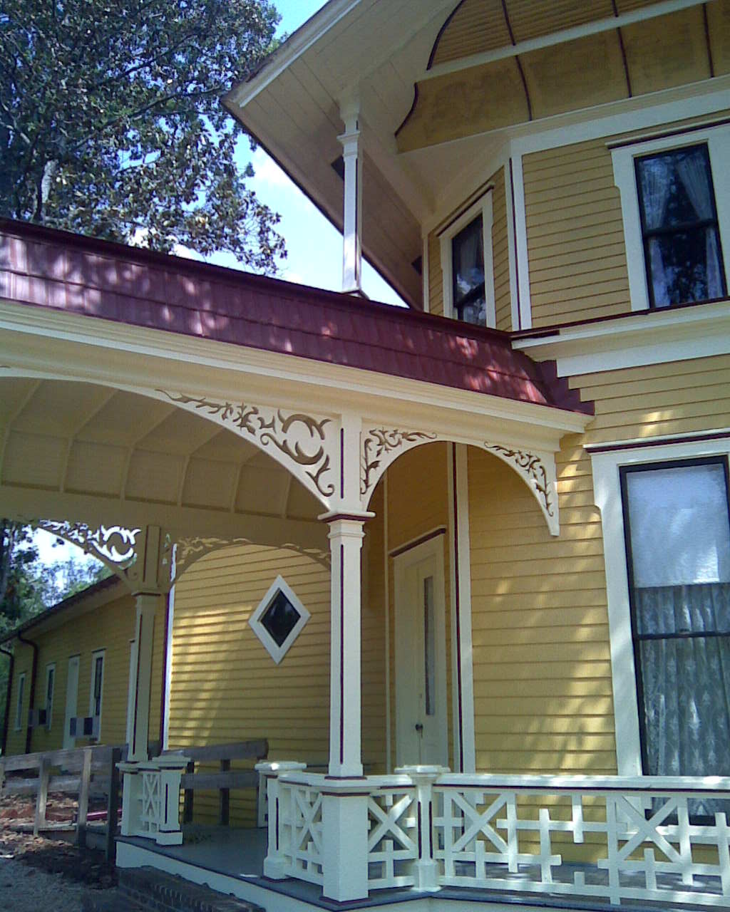
Lapham-Patterson House Side View
Early moning view out of our window
Good view looking out. #changinglights at #church #ladder 25 feet up.

The view looking down. #changinglights at #church almost #verticalladder 25 feet in the air. #scared #excited #adrenaline might have #peedmyselfalittle

Pulled into work yesterday and was greeted by this view. #sunrise #clouds #wx #iPhone
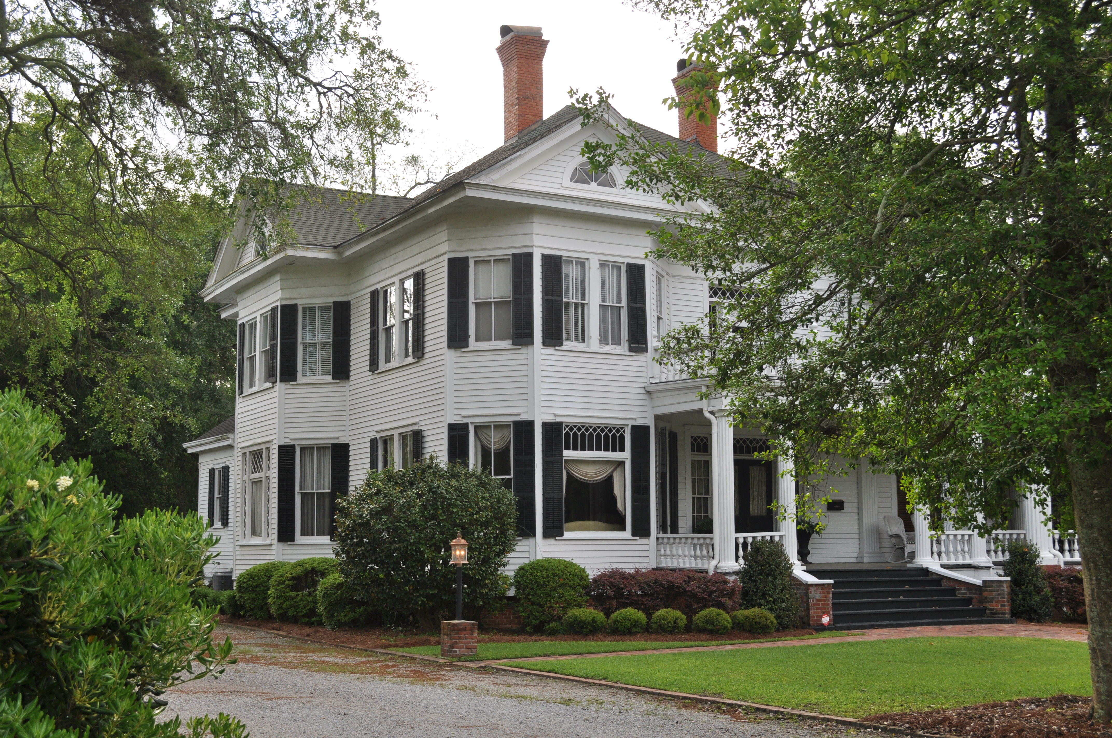
Ephraim Ponder House Thomasville GA

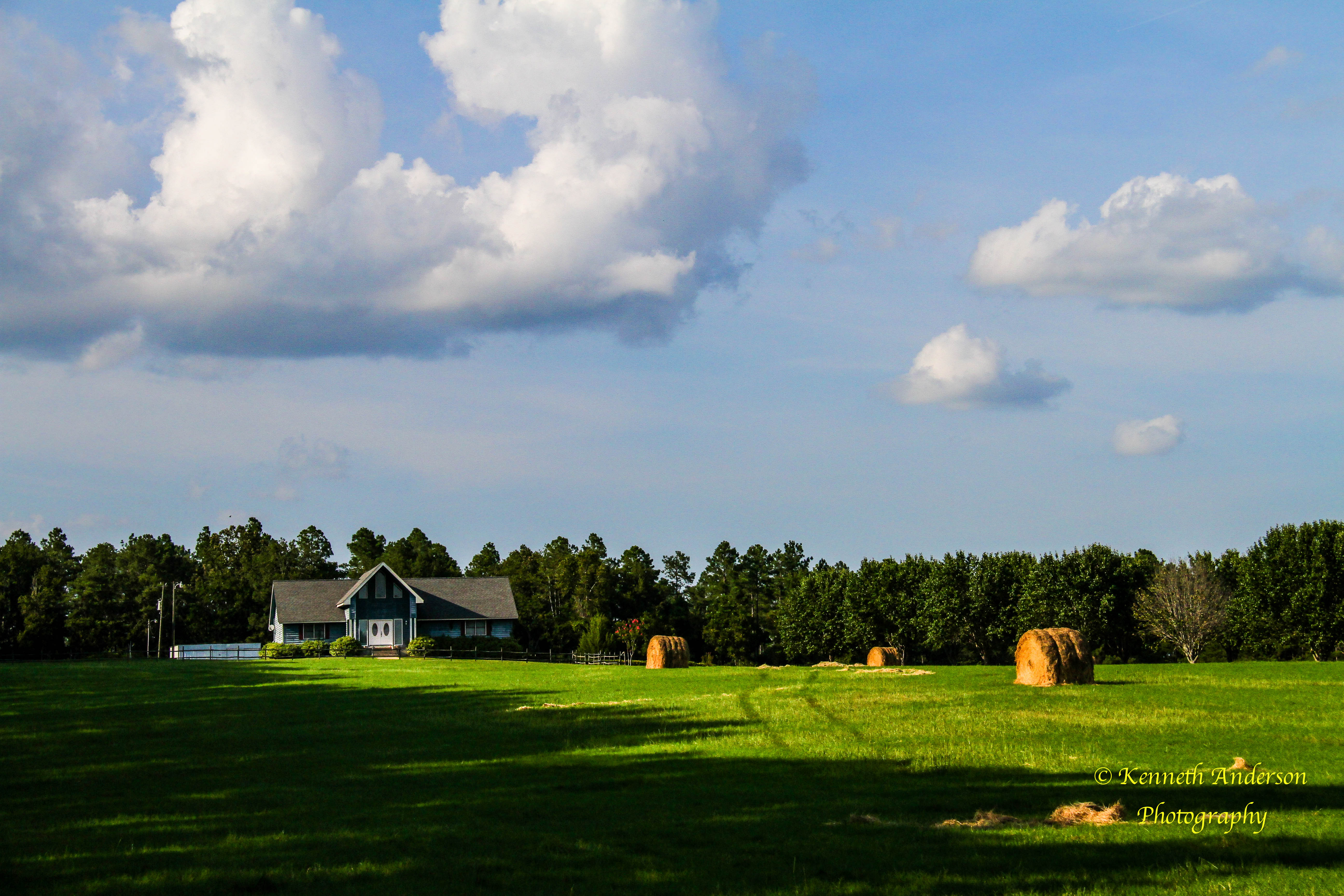
Weight and Whimsy: A Landscape

Thomas County-3
Thomas County, Ga.

IMG_4778.jpg
Loving the #clouds reflecting on #Lake #Cherokee #Thomasville #GA #iPhone

Thomasville sunrise
IMG_4757.jpg
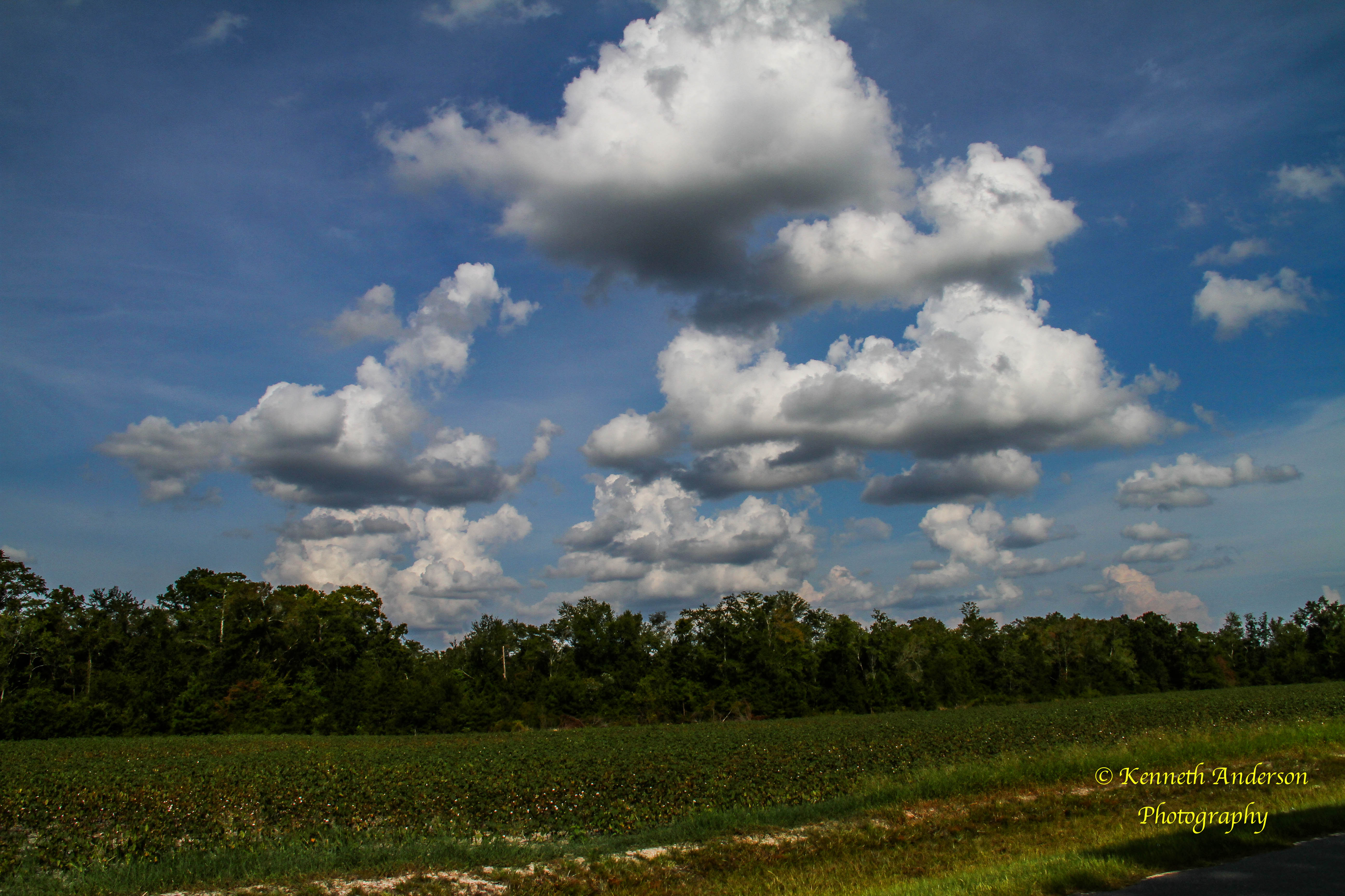
Cotton Fields2.jpg
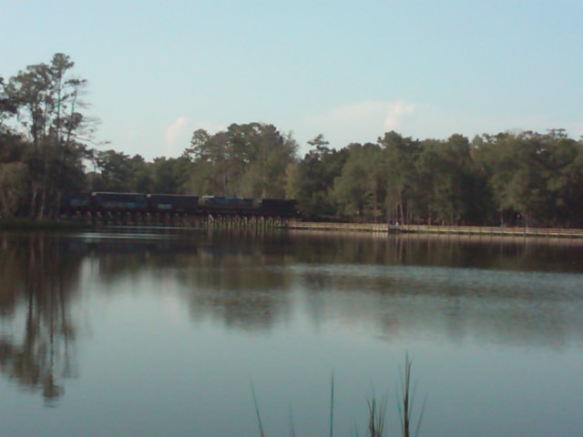
Train over Lake Cherokee
IMG_4753.jpg

The office for today. #SouthGAShoot

#Sunrise over #Thomasville #ga #mornings #iPhone #wtxlsunrise
1420 Balfour House Img_8155

Thomasville's Lake Cherokee in a light fog. #thomasville #georgia #swga #georgia #exploregeorgia #fog #lake #cherokee #nikon #d5300
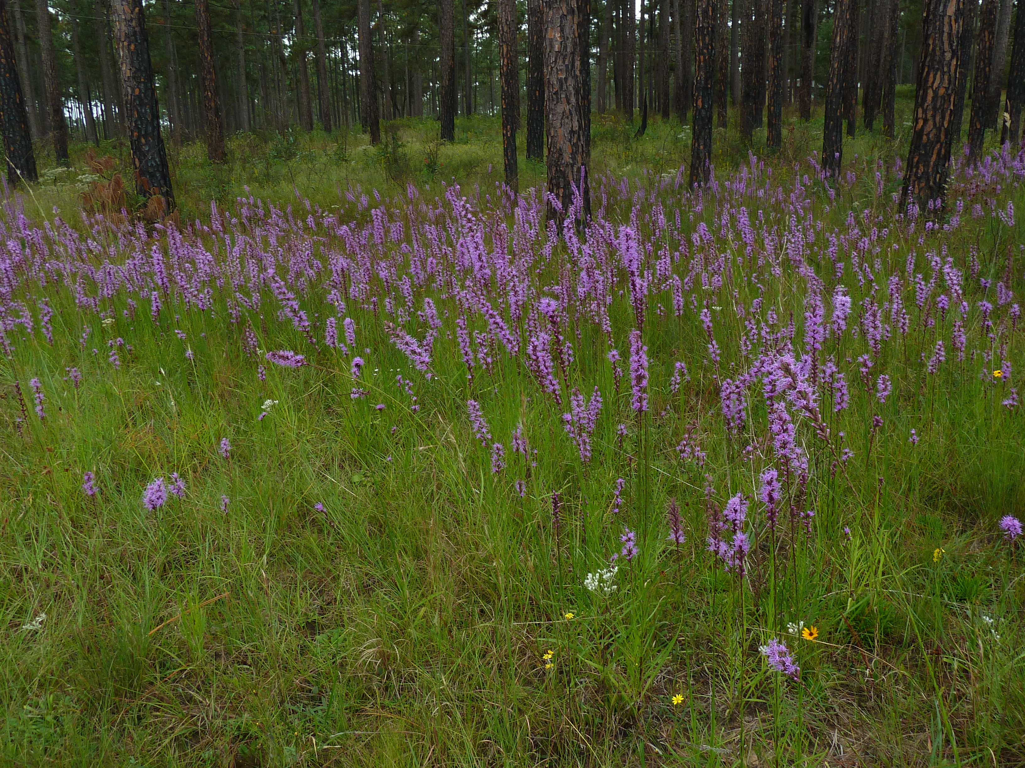
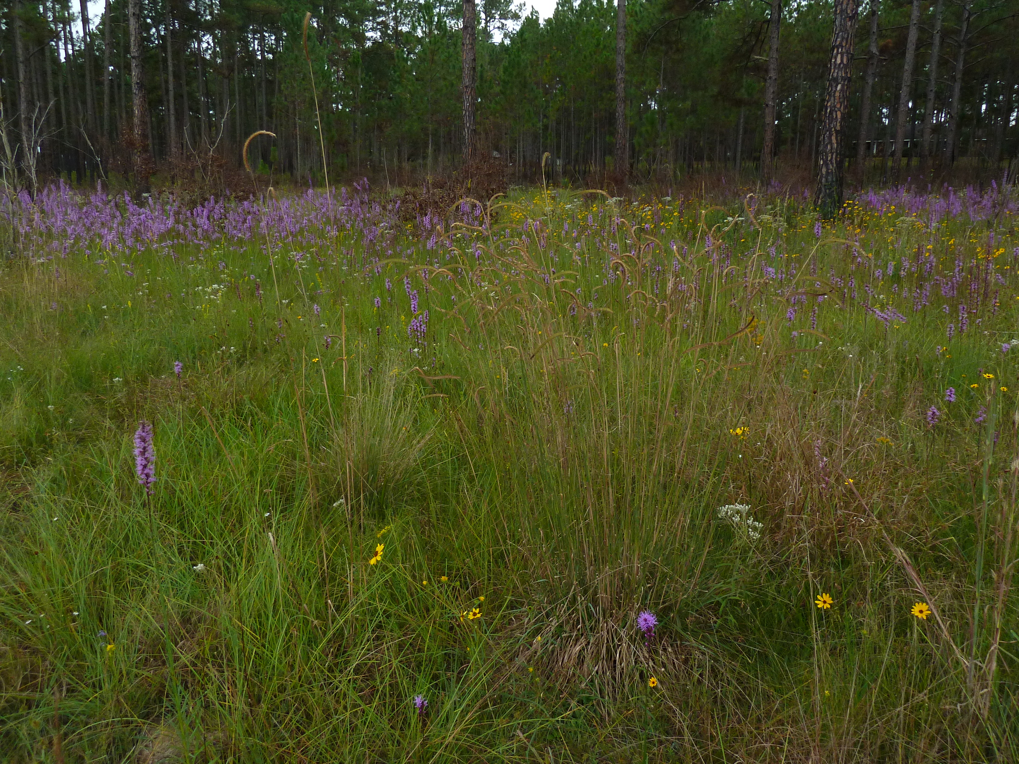
Blazing star (Liatris sp)
20090219-IMG_1289
20090219-IMG_1290
IMG_4741.jpg
Gordon Ave Apts 2 Thomasville GA
Topographic Map of Carrington Cir, Thomasville, GA, USA
Find elevation by address:

Places near Carrington Cir, Thomasville, GA, USA:
Daisy Ln, Thomasville, GA, USA
Hall Rd, Thomasville, GA, USA
21967 Us-19
241 Cove Landing Dr
Kelon Drive
401 Crowley Spur Rd
108 Eagles Landing Dr
Hall Rd, Thomasville, GA, USA
13058 Us-319
101 Cobblestone Ln
125 Duren Dr
201 Edgewood Dr
109 Marion St
Allen St, Thomasville, GA, USA
Thomasville
57 Airport Rd, Thomasville, GA, USA
146 Saddlebrook Plantation
94 Harrell Rd, Thomasville, GA, USA
167 Cambridge Forest
Magnolia Road
Recent Searches:
- Elevation of Lampiasi St, Sarasota, FL, USA
- Elevation of Elwyn Dr, Roanoke Rapids, NC, USA
- Elevation of Congressional Dr, Stevensville, MD, USA
- Elevation of Bellview Rd, McLean, VA, USA
- Elevation of Stage Island Rd, Chatham, MA, USA
- Elevation of Shibuya Scramble Crossing, 21 Udagawacho, Shibuya City, Tokyo -, Japan
- Elevation of Jadagoniai, Kaunas District Municipality, Lithuania
- Elevation of Pagonija rock, Kranto 7-oji g. 8"N, Kaunas, Lithuania
- Elevation of Co Rd 87, Jamestown, CO, USA
- Elevation of Tenjo, Cundinamarca, Colombia