Elevation of Carnes Rd, Franklin, NC, USA
Location: United States > North Carolina > Macon County > Franklin > Franklin >
Longitude: -83.473461
Latitude: 35.2798266
Elevation: 620m / 2034feet
Barometric Pressure: 94KPa
Elevation Map:
Satellite Map:
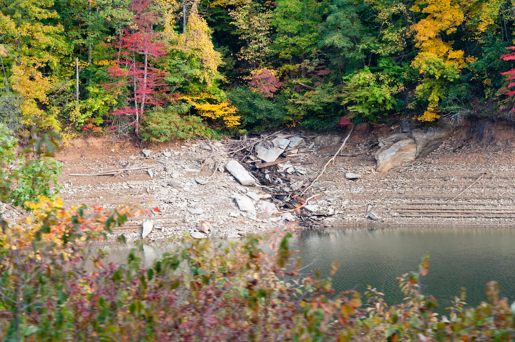
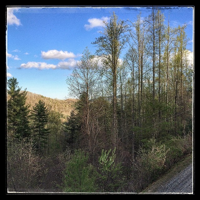
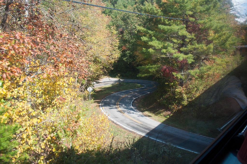
Related Photos:

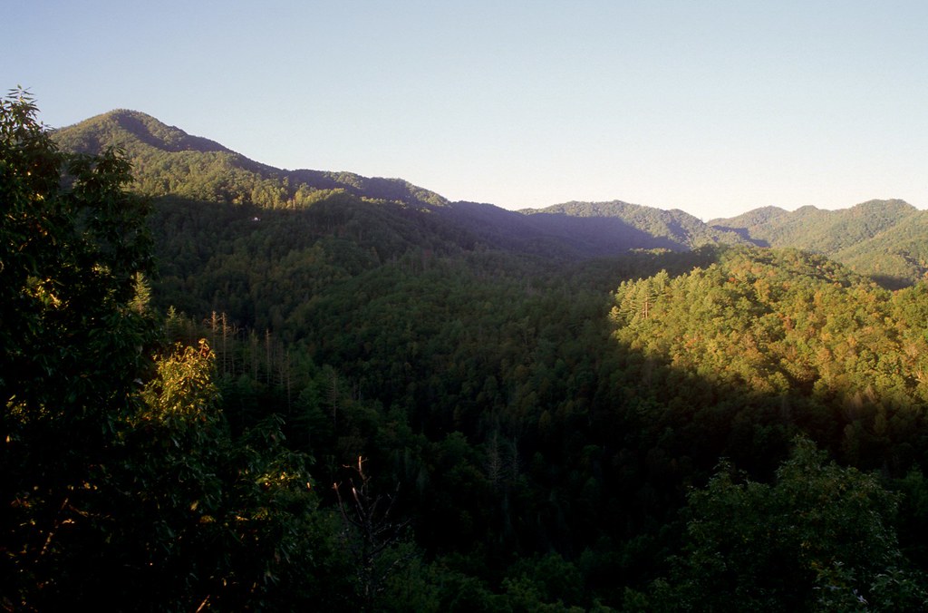
God's Country!
North Carolina Scenic View
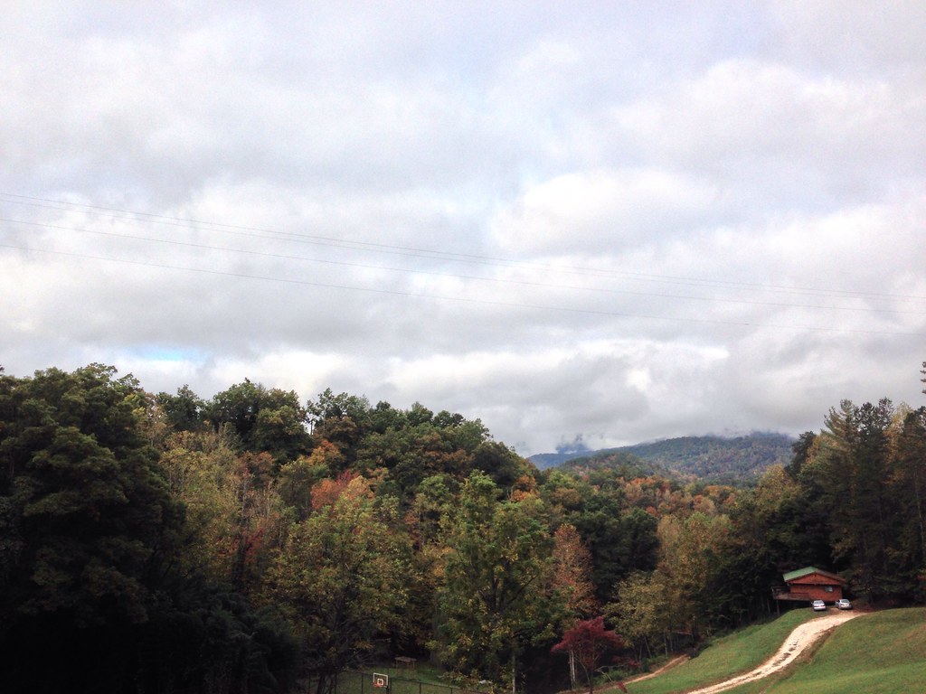
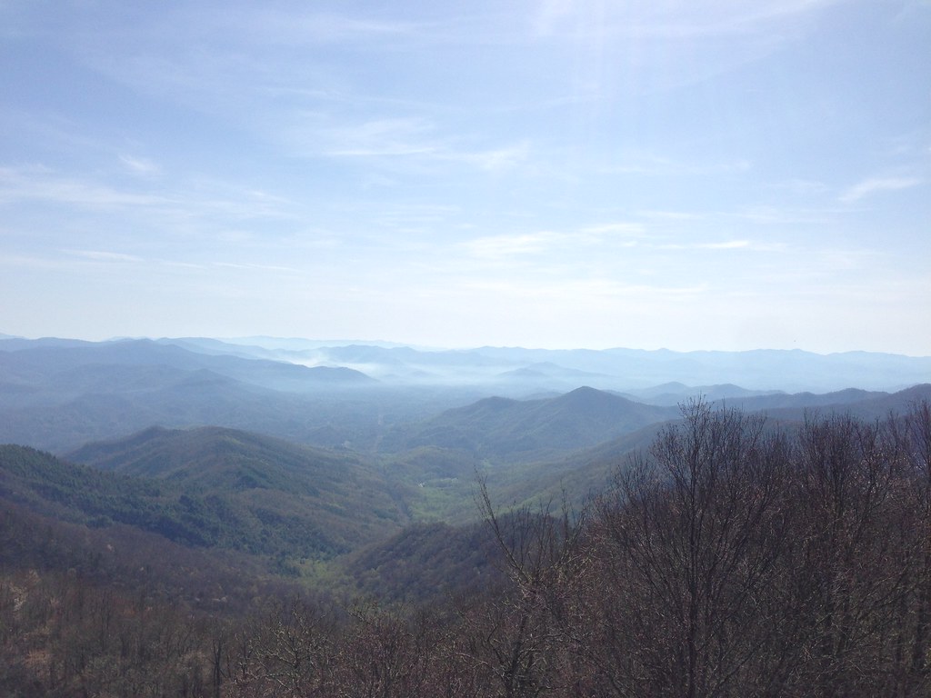
The Cabin Above The Clouds
I made it back from Heaven
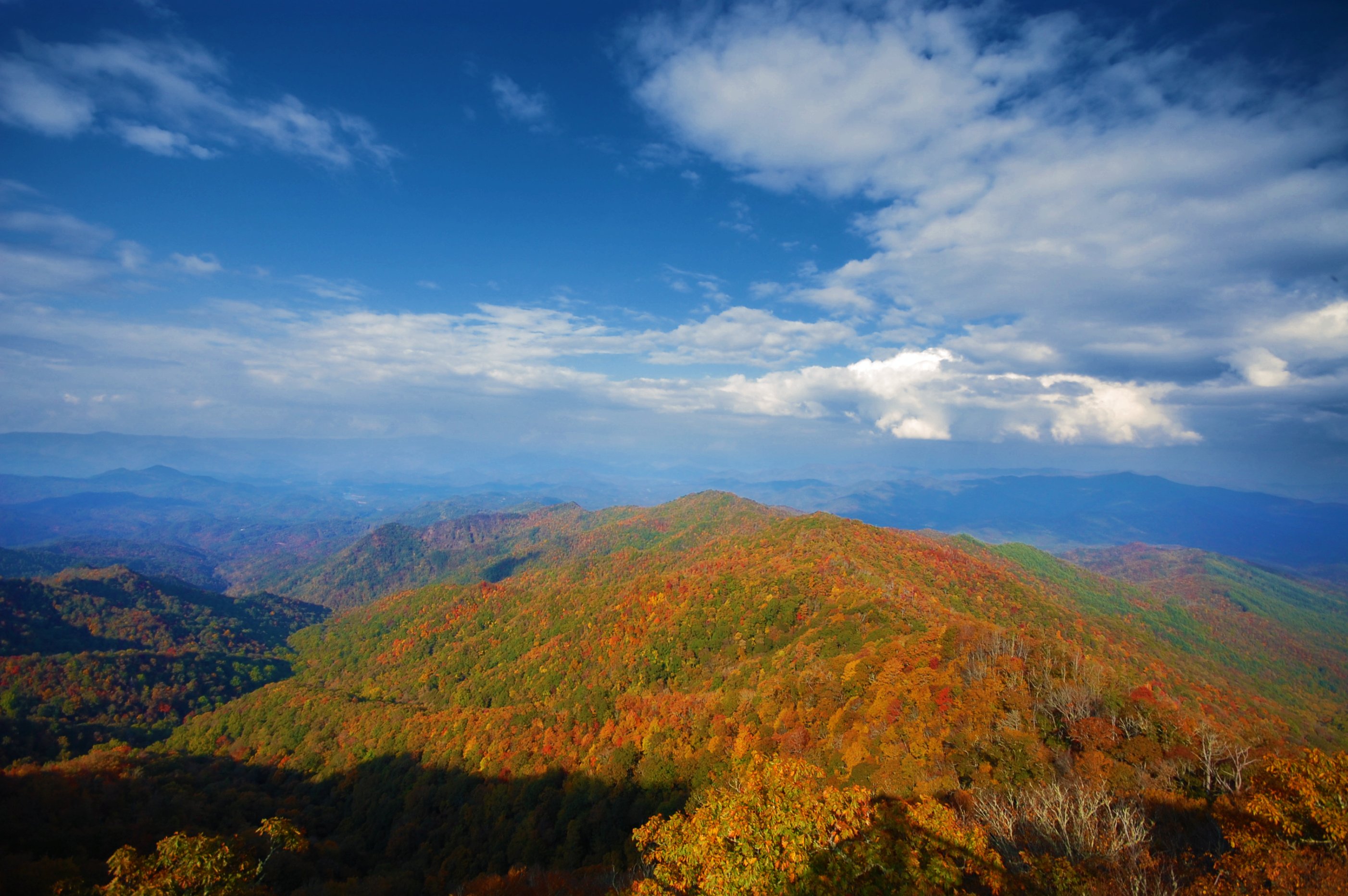
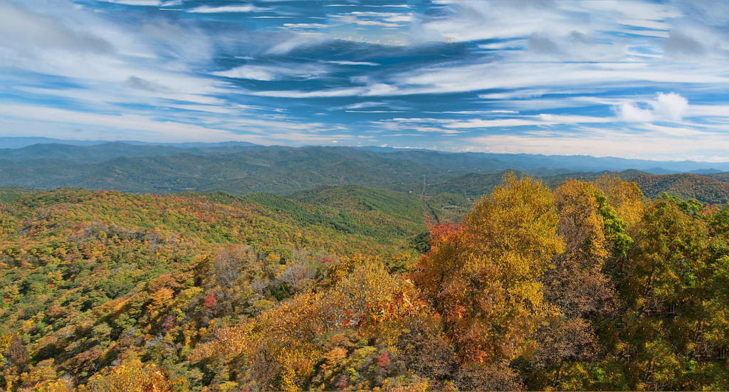
West View from Wesser Bald Observation Tower

#roadtrip #northcarolina #greatsmokeymountains#nationalpark#view#logcabin
Views from the train
#greatsmokeymountains #nationalpark #view #northcarolina #roadtrip
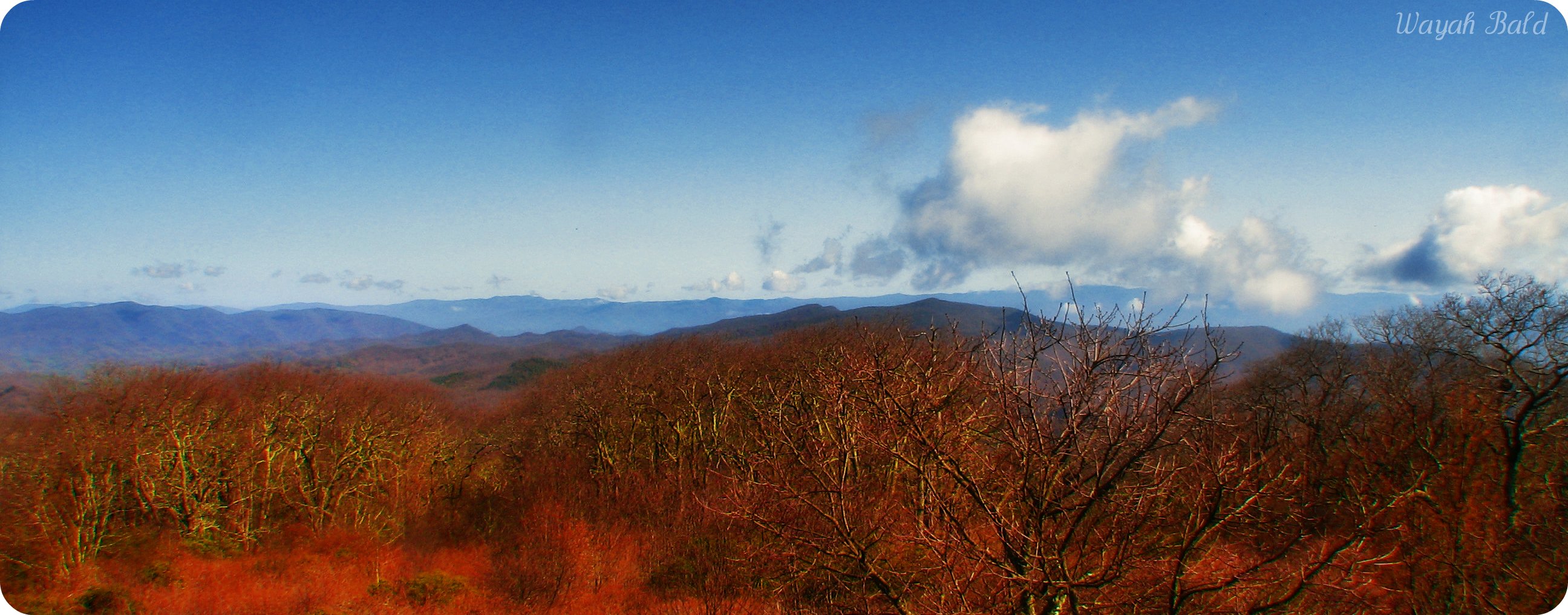
Wayah Bald
Views from the train

View in the evening!
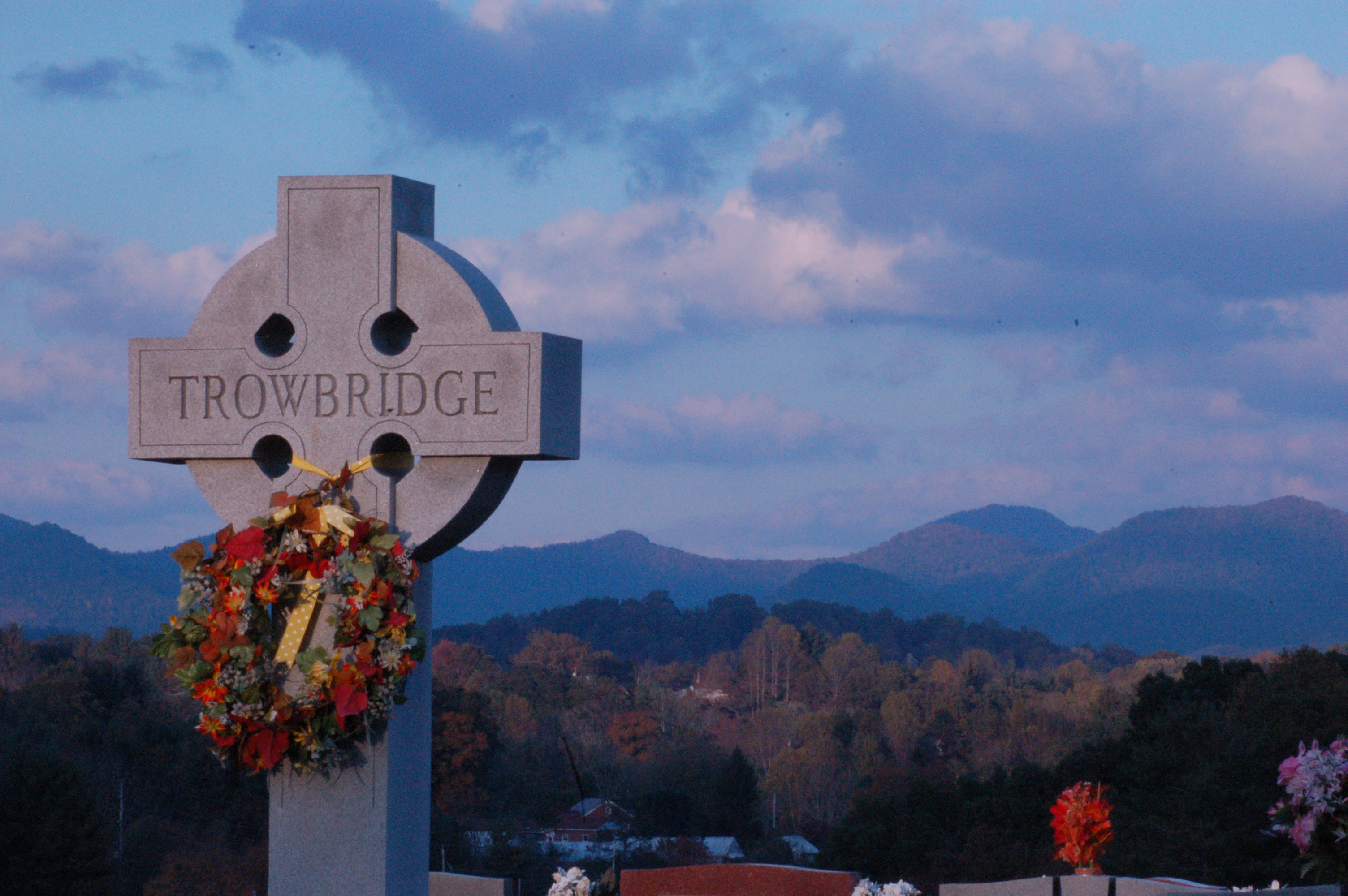
Cemetary View
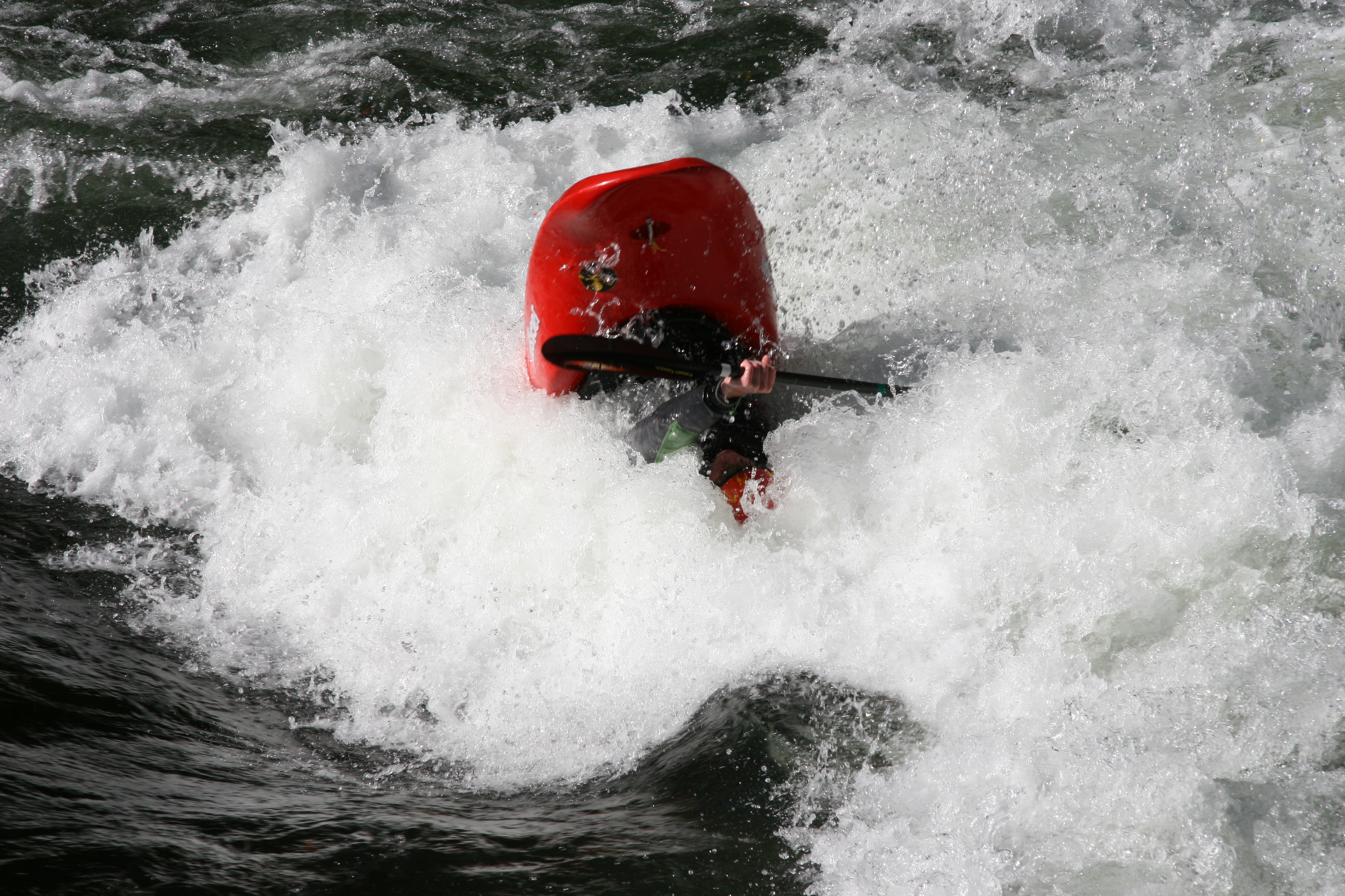
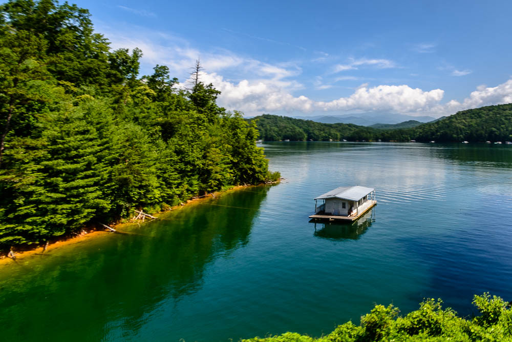
David In His New Boat

Wayah Bald Fire Tower - Franklin, North Carolina (HDR)
Views from the train

We may not have power but the view is amazing.

Fire Pink

Cowee Bald Fire Tower - North Carolina
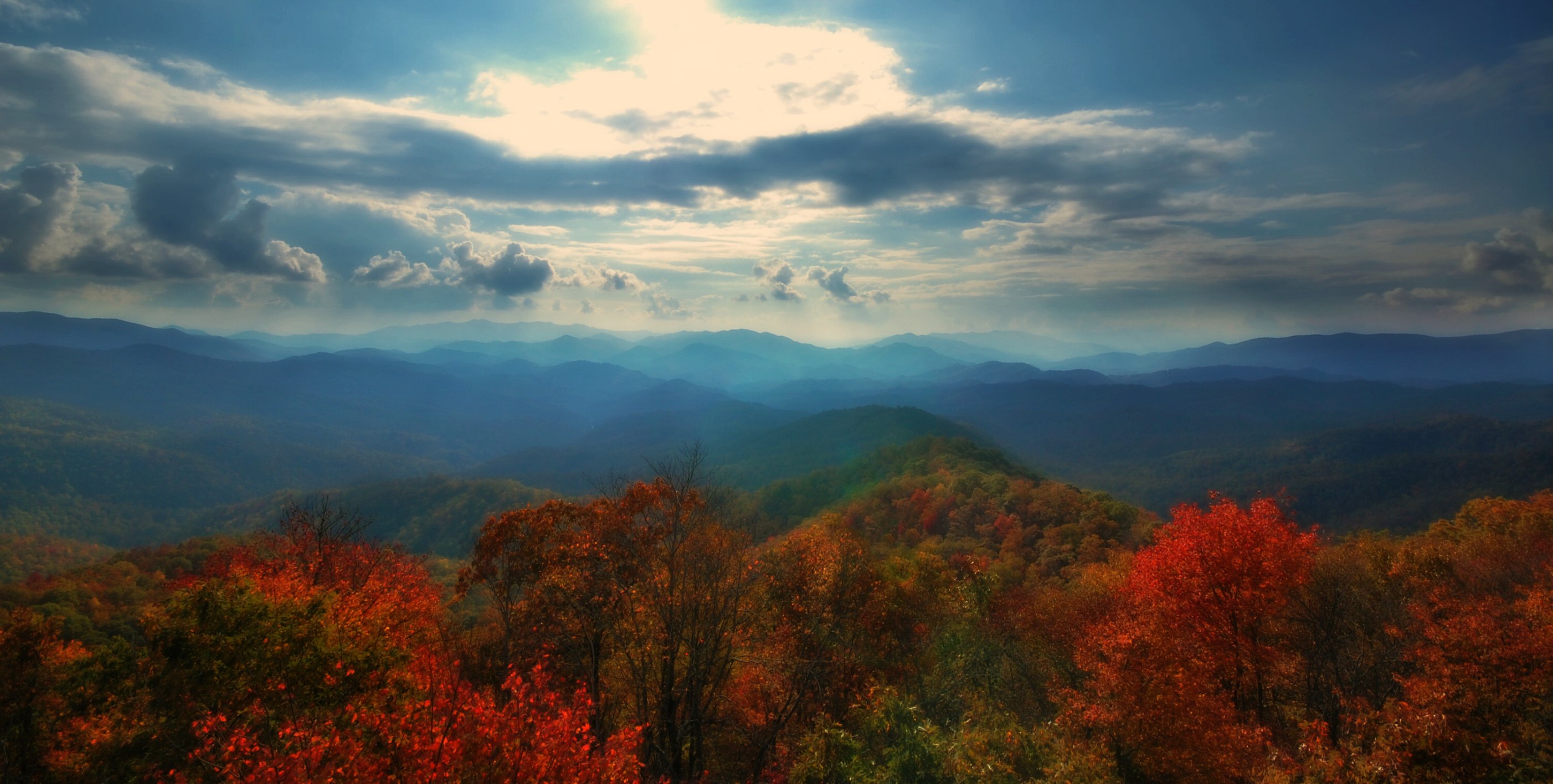
View from Wesser Bald
Morning Light
View from Wesser Bald firetower

Trying Out Star Photography
Ahhhhh!
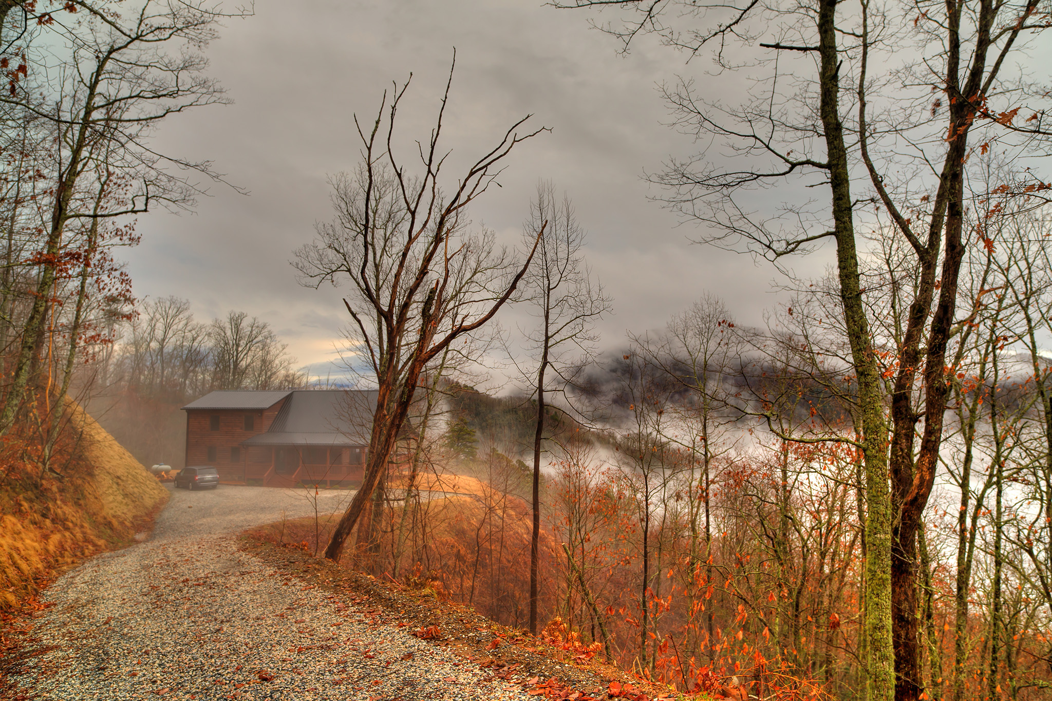
Home Wet Home
Wesser Bald Jeep Trail

GSMR Rounding The Bend

remembering to breathe
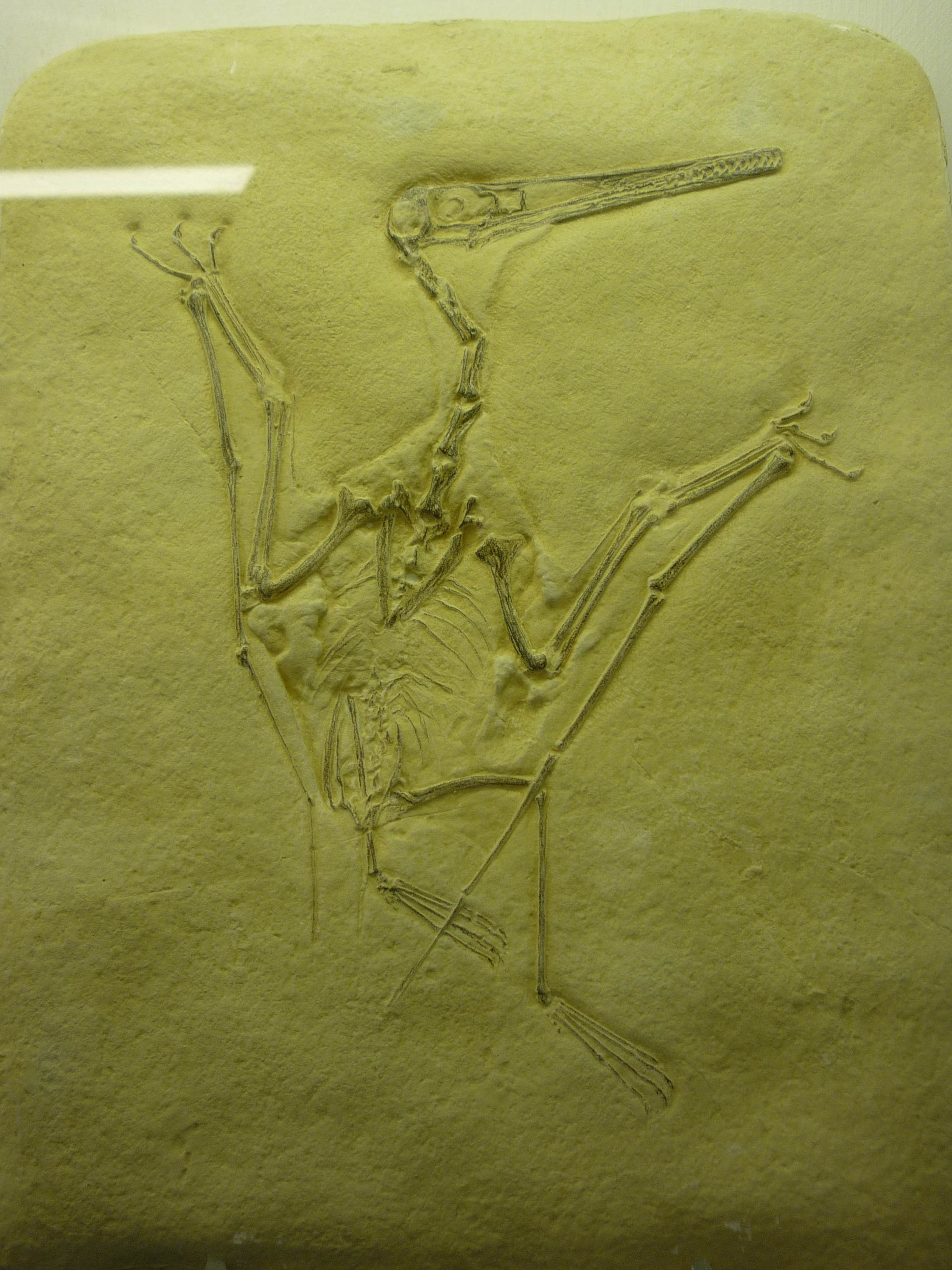
bird-like fossil
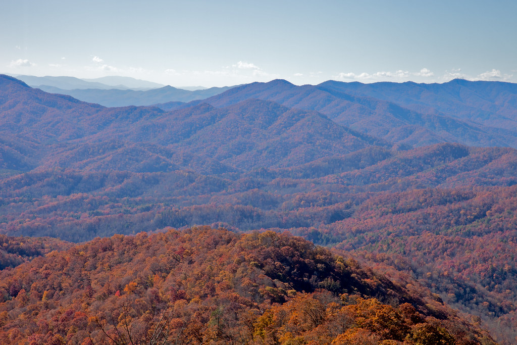
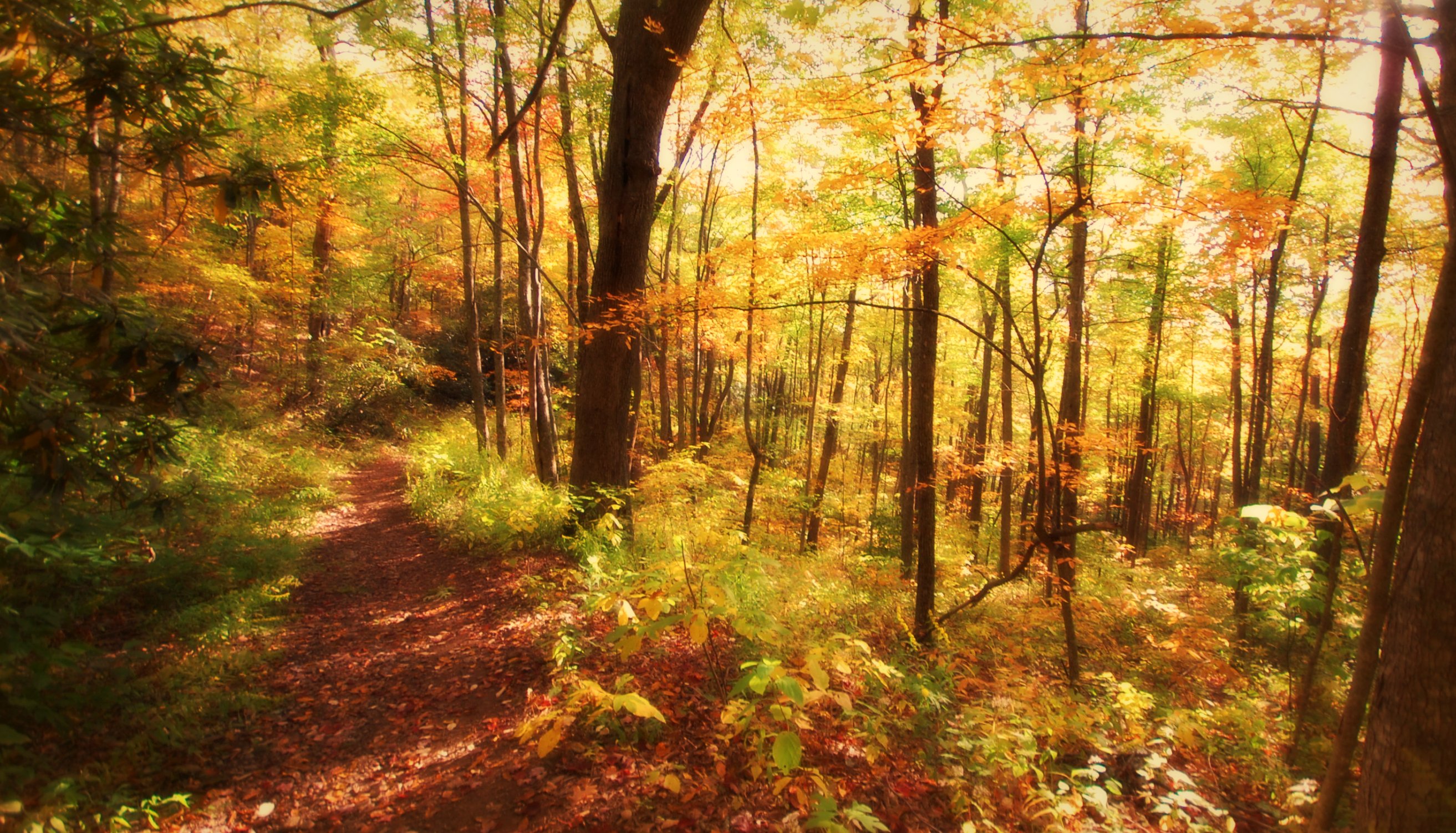
Smoky Mountains
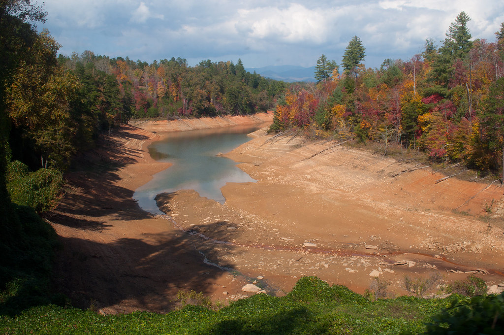
Nantahala River Gorge - Land of the Noon Day Sun
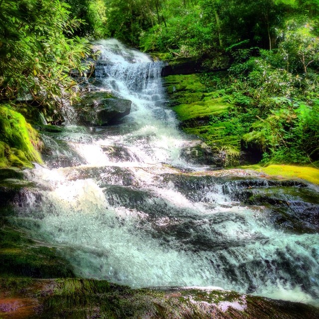
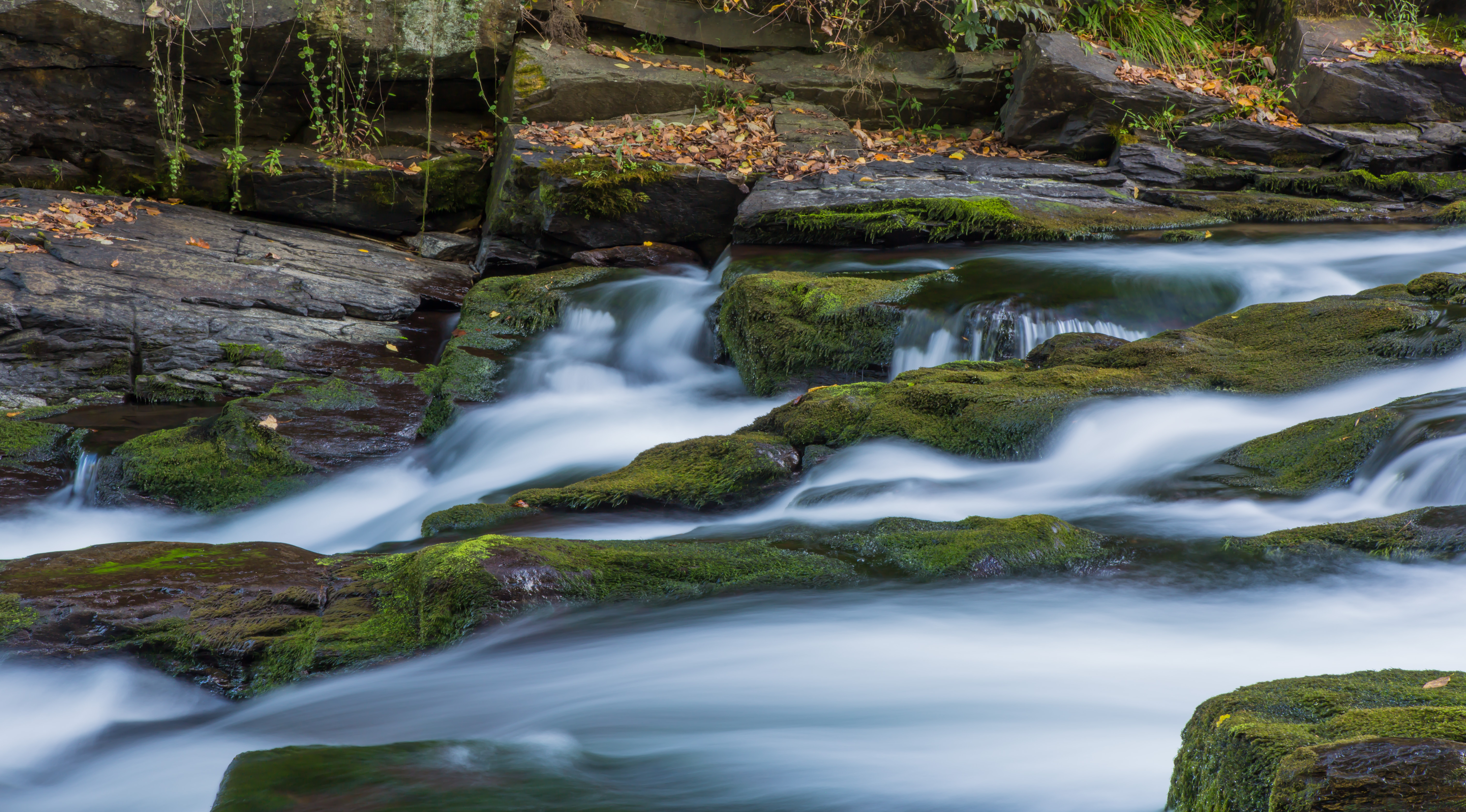
Alarka Falls #alarkafalls #brysoncity #wnc #ncwaterfalls #waterfallpics #waterfallhiking #waterfallphotography #iphotography #igersoftheday #828isgreat #blueridgecountry

Big Laurel Falls #franklin #standingindian #appalachia #blueridgecountry #welovenc #we_see_wnc #wilderness_culture #biglaurelfalls #diamondbrand_outdoors #cmc100challenge #stream #falls #explore #westernnorthcarolina #landofwaterfalls

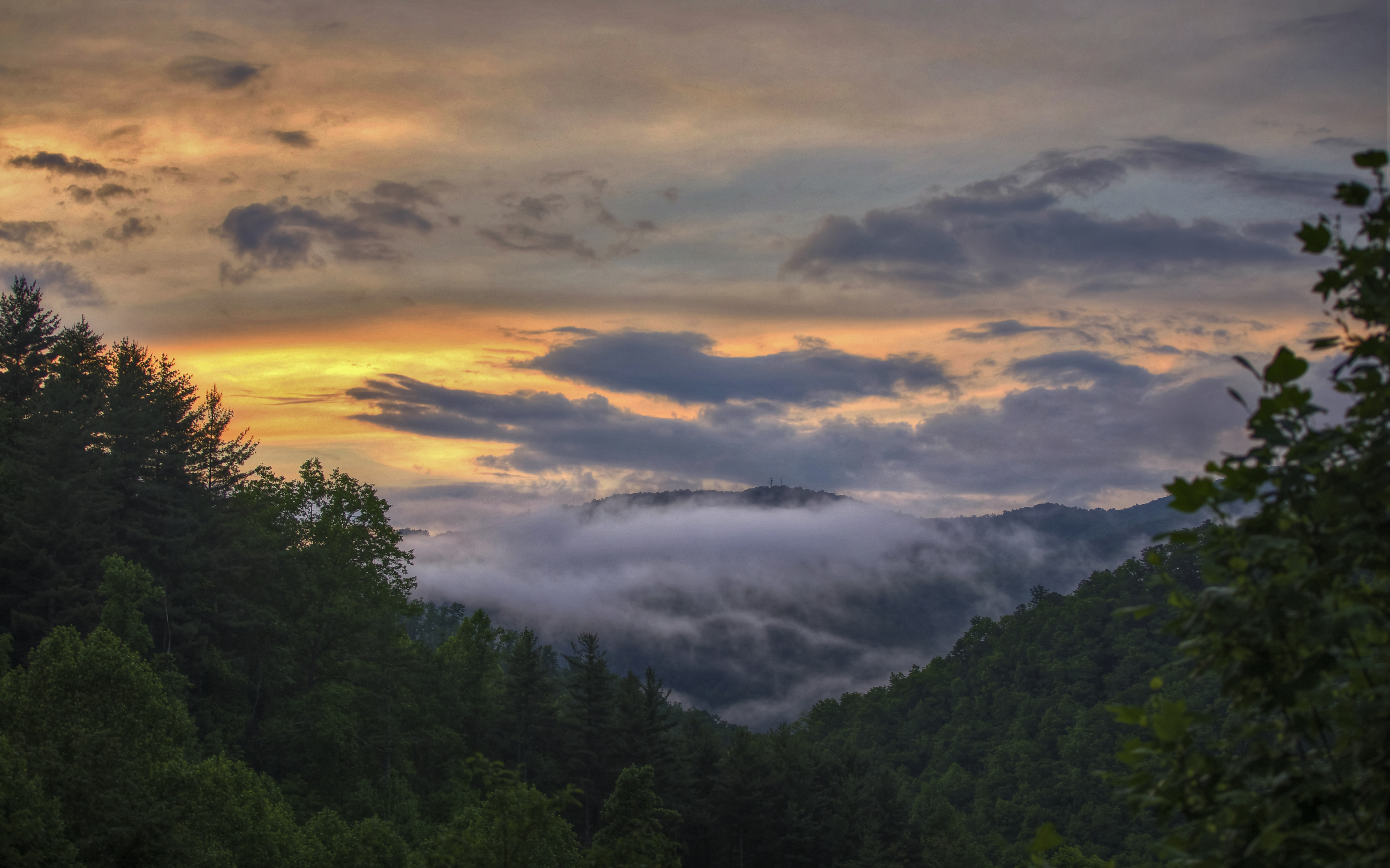
Great Smoky Mountains of NC.
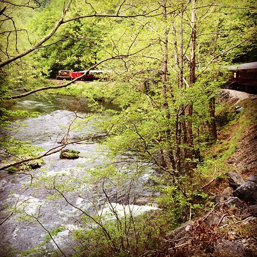
Train tour of the Great Smoky Mts
345/365
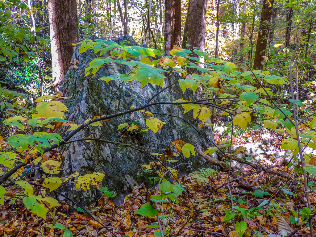
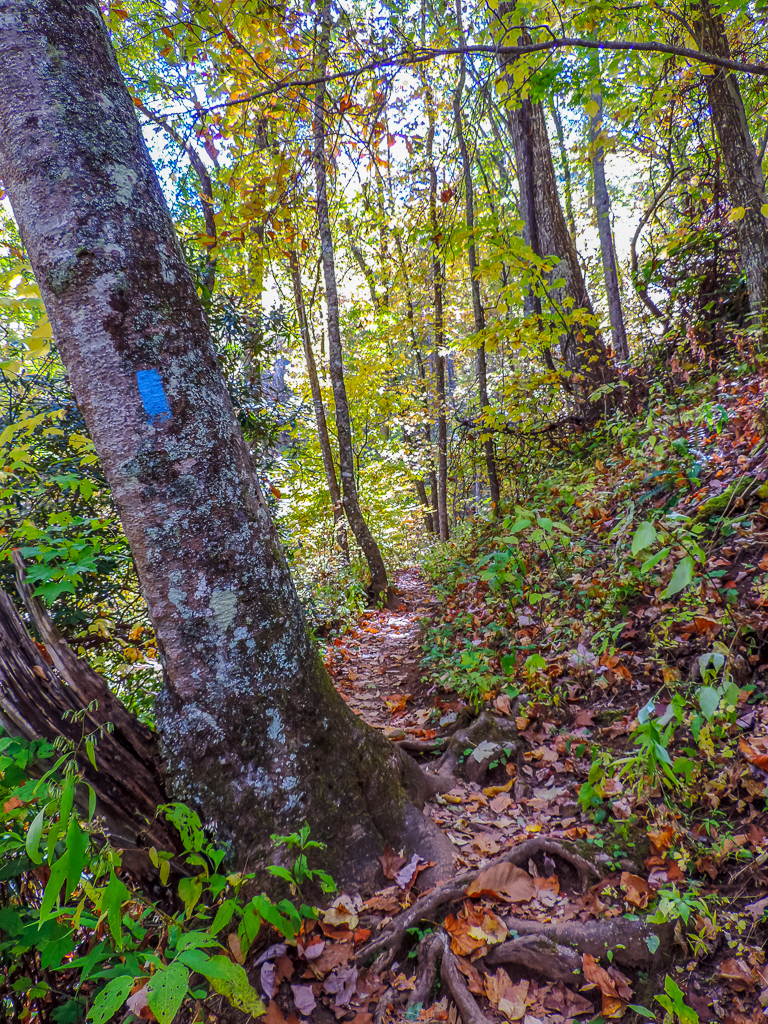
Rufus Morgan Trailhead-8489

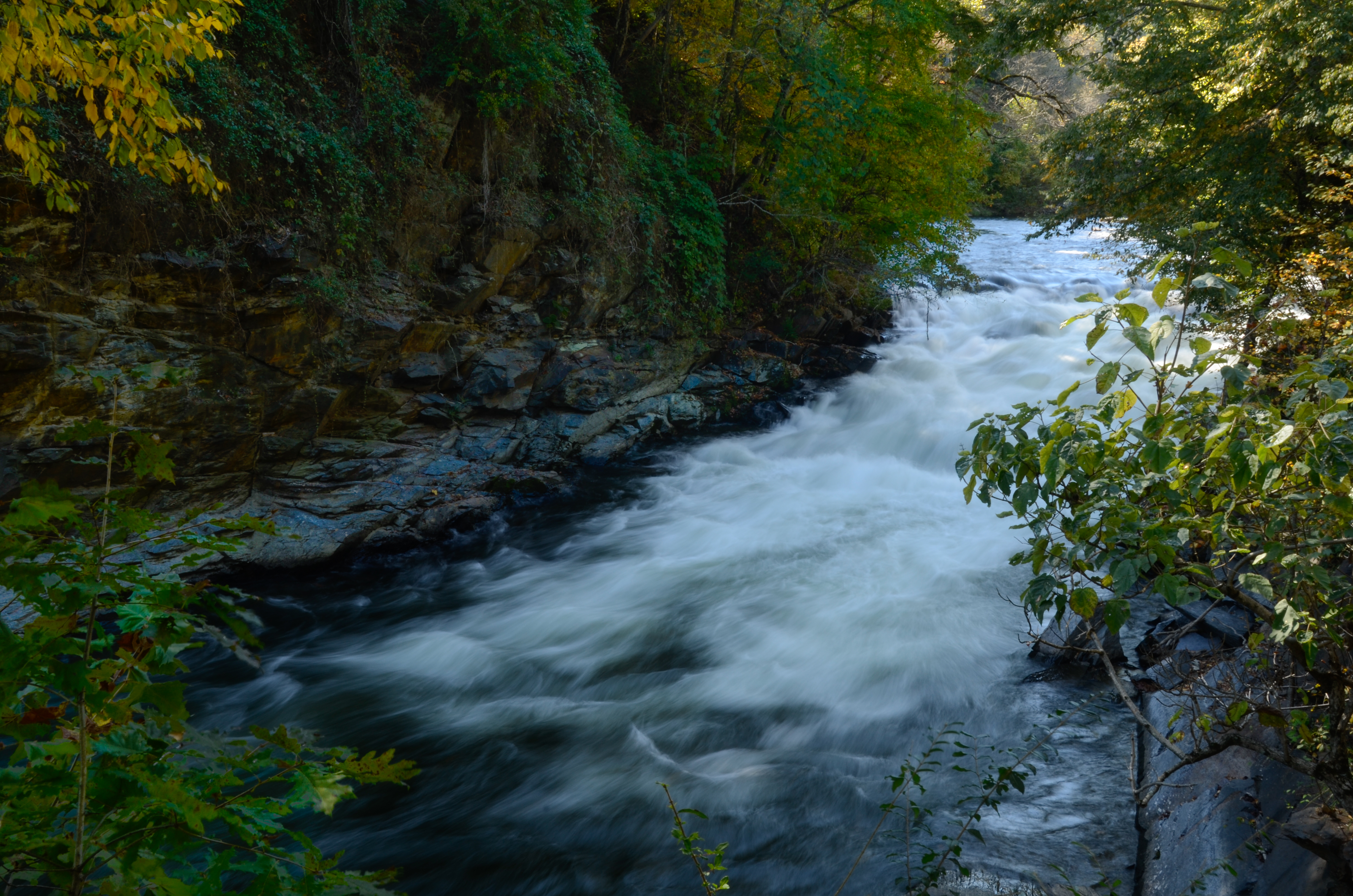
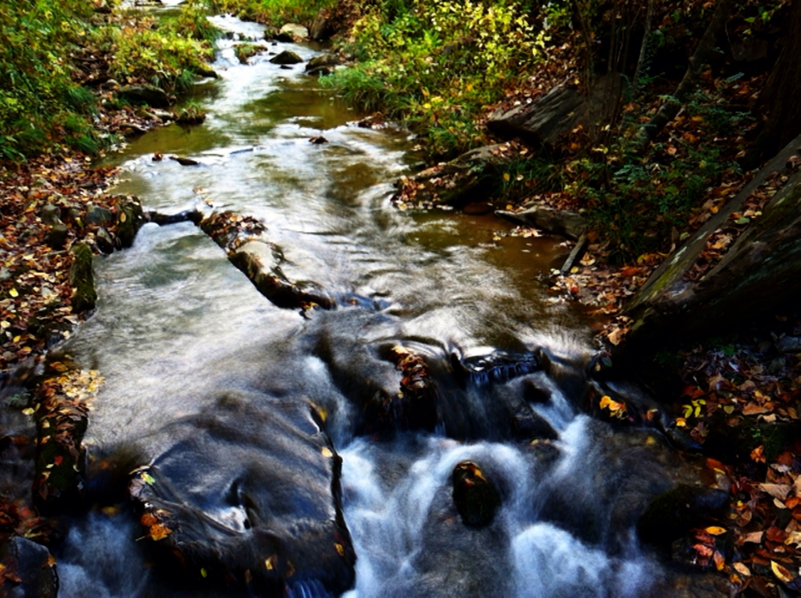
The mists of Nantahala Gorge
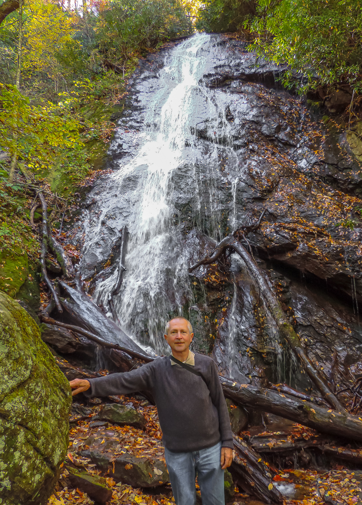
Rufus Morgan Falls-8485
Rufus Morgan Trailhead-8453
Wesser Bald Observation Tower - Macon County, North Carolina (HDR)
Topographic Map of Carnes Rd, Franklin, NC, USA
Find elevation by address:

Places near Carnes Rd, Franklin, NC, USA:
455 Ridgetop Rd
455 Ridgetop Rd
315 Ridgetop Rd
153 Queen Branch Rd
44 Clint Cole Rd
145 Penny Ln
305 Climbing Bear Dr
8066 Lower Burningtown Rd
131 Rodeo Rd
524 Welch Rd
524 Welch Rd
16 Mcgaha Rd
16 Mcgaha Rd
1127 Welch Rd
7374 Lower Burningtown Rd
Kelly Cove Road
Mystic Mountain Ridge
Bonfire Drive
585 Bonfire Dr
525 Bonfire Dr
Recent Searches:
- Elevation of Congressional Dr, Stevensville, MD, USA
- Elevation of Bellview Rd, McLean, VA, USA
- Elevation of Stage Island Rd, Chatham, MA, USA
- Elevation of Shibuya Scramble Crossing, 21 Udagawacho, Shibuya City, Tokyo -, Japan
- Elevation of Jadagoniai, Kaunas District Municipality, Lithuania
- Elevation of Pagonija rock, Kranto 7-oji g. 8"N, Kaunas, Lithuania
- Elevation of Co Rd 87, Jamestown, CO, USA
- Elevation of Tenjo, Cundinamarca, Colombia
- Elevation of Côte-des-Neiges, Montreal, QC H4A 3J6, Canada
- Elevation of Bobcat Dr, Helena, MT, USA