Elevation of Bonfire Dr, Franklin, NC, USA
Location: United States > North Carolina > Macon County > Burningtown >
Longitude: -83.463395
Latitude: 35.246769
Elevation: 720m / 2362feet
Barometric Pressure: 93KPa
Elevation Map:
Satellite Map:
Related Photos:
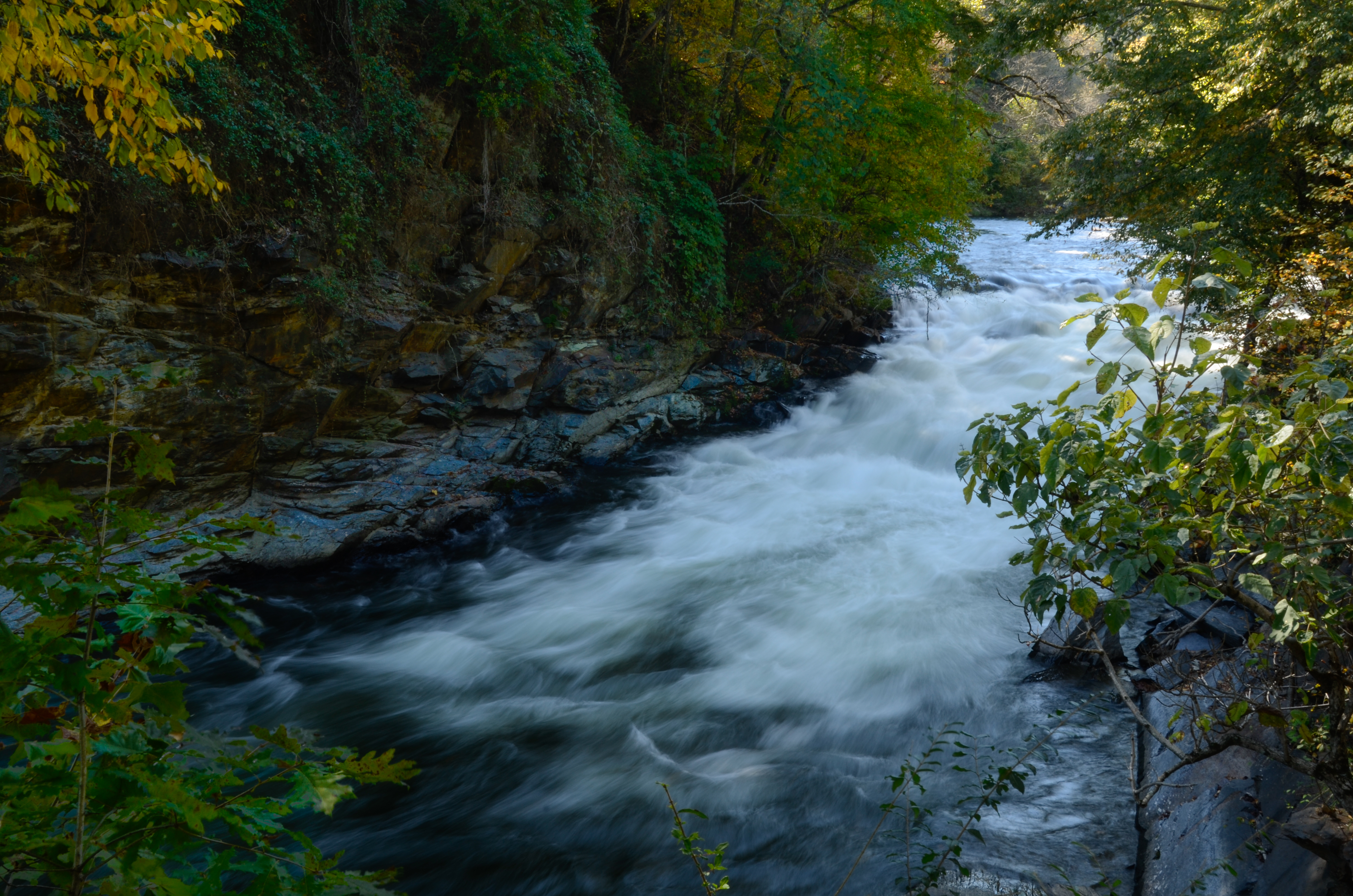
Nantahala River Gorge - Land of the Noon Day Sun
I made it back from Heaven

W4C/WM-024 - Siler Bald View

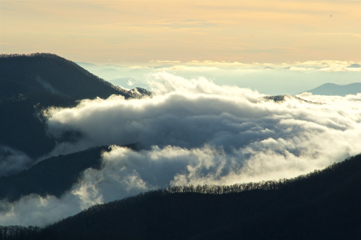
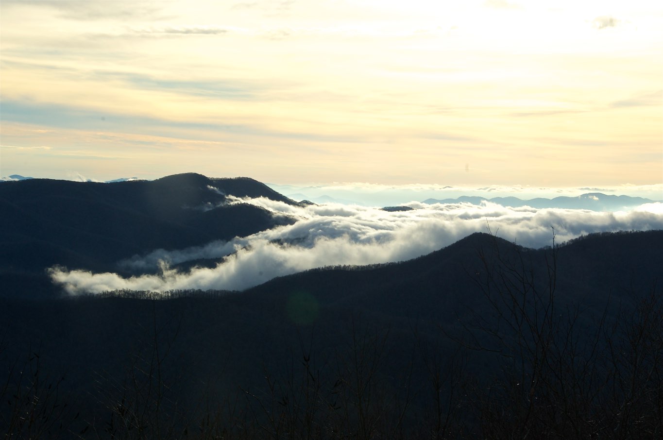
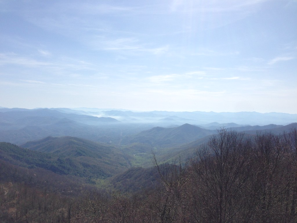
Clouds in the Smokys

Fringed Phacelia
Views from the train
W4C/WM-024 - Siler Bald View

View in the evening!
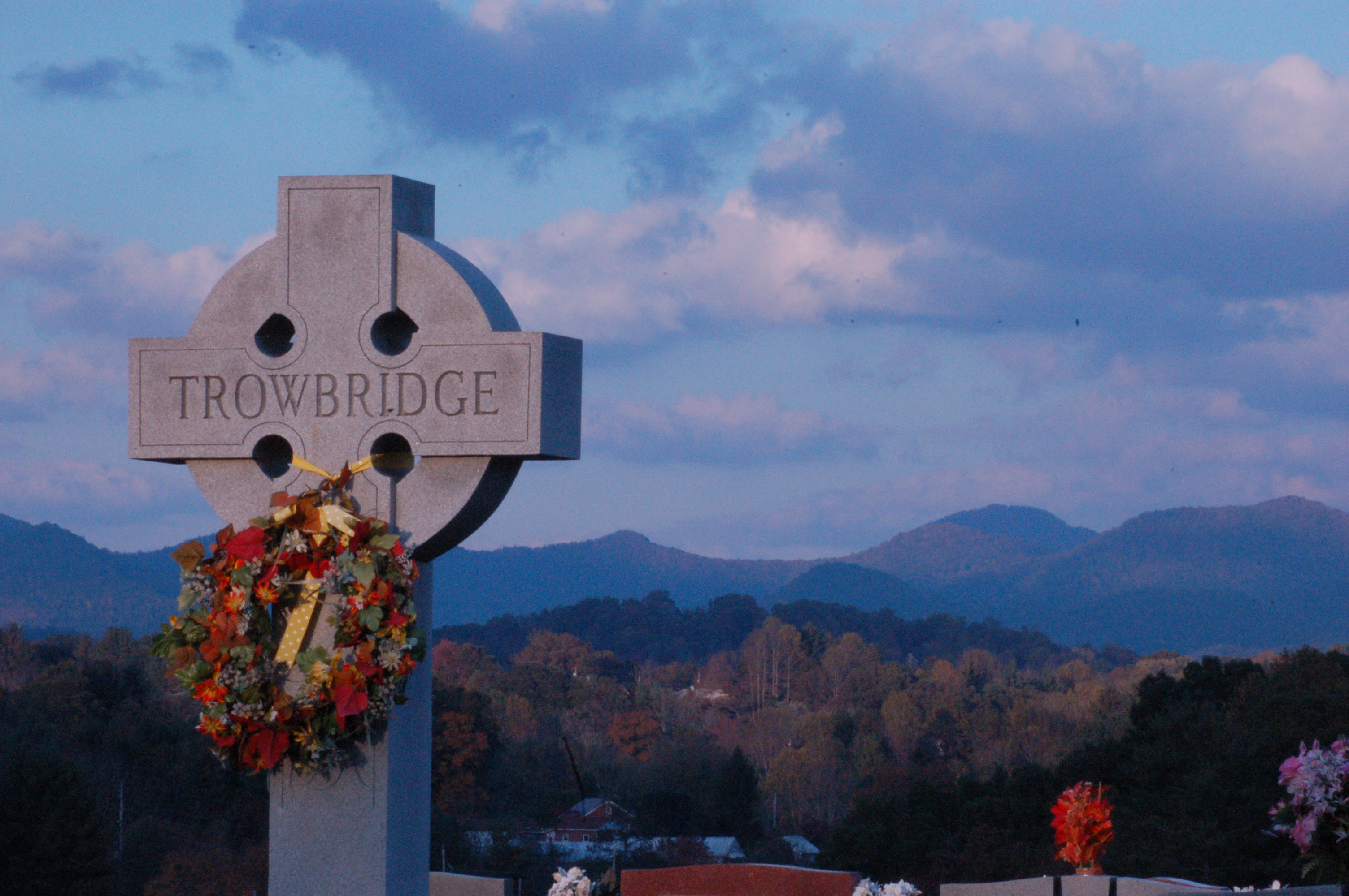
Cemetary View
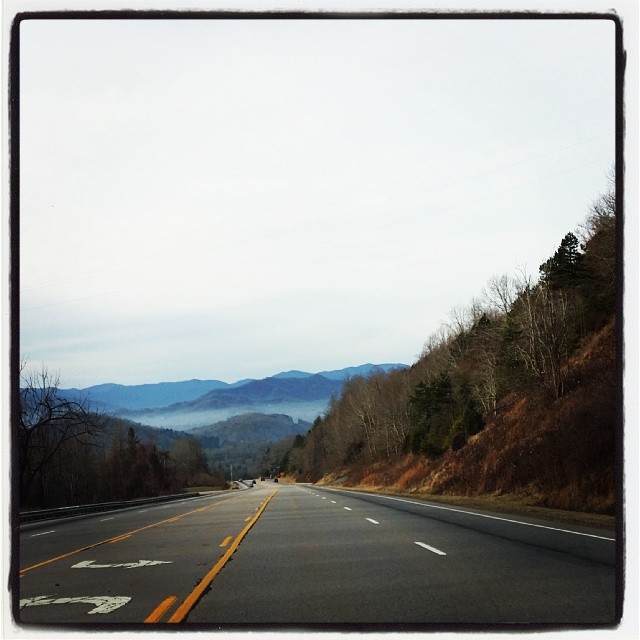
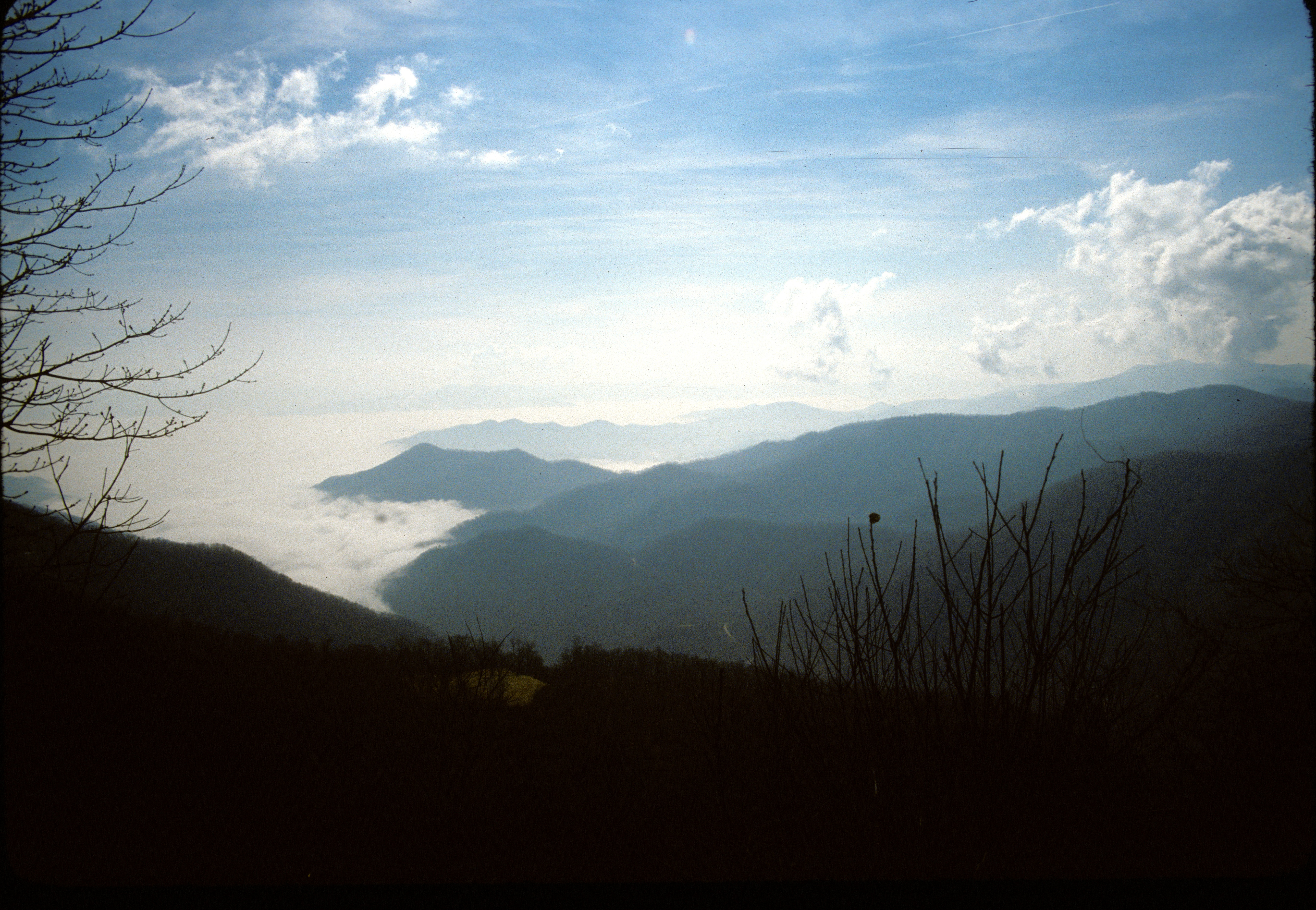
Driving thru the Smokey Mountains, what a view!
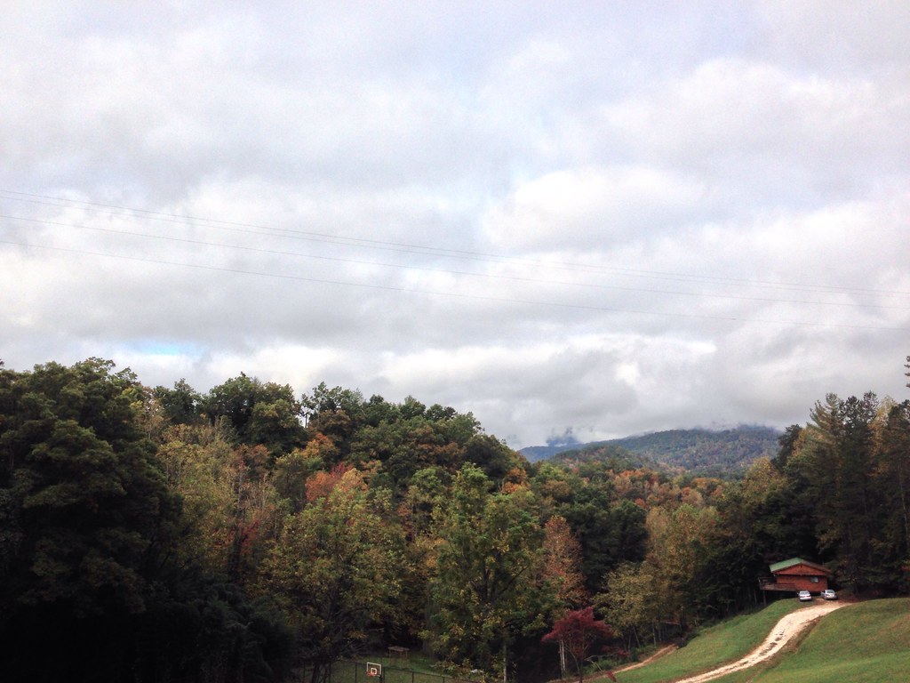
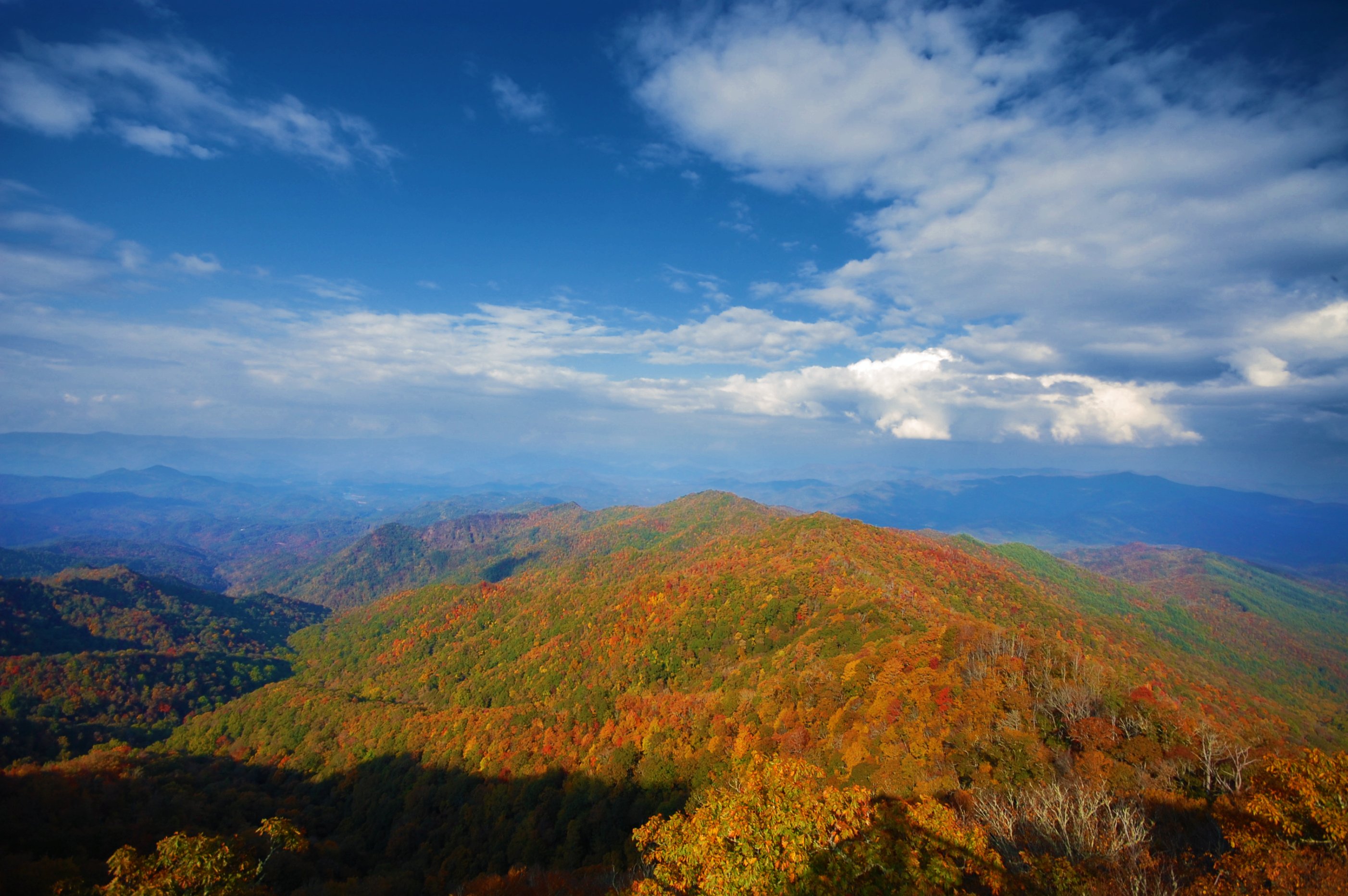
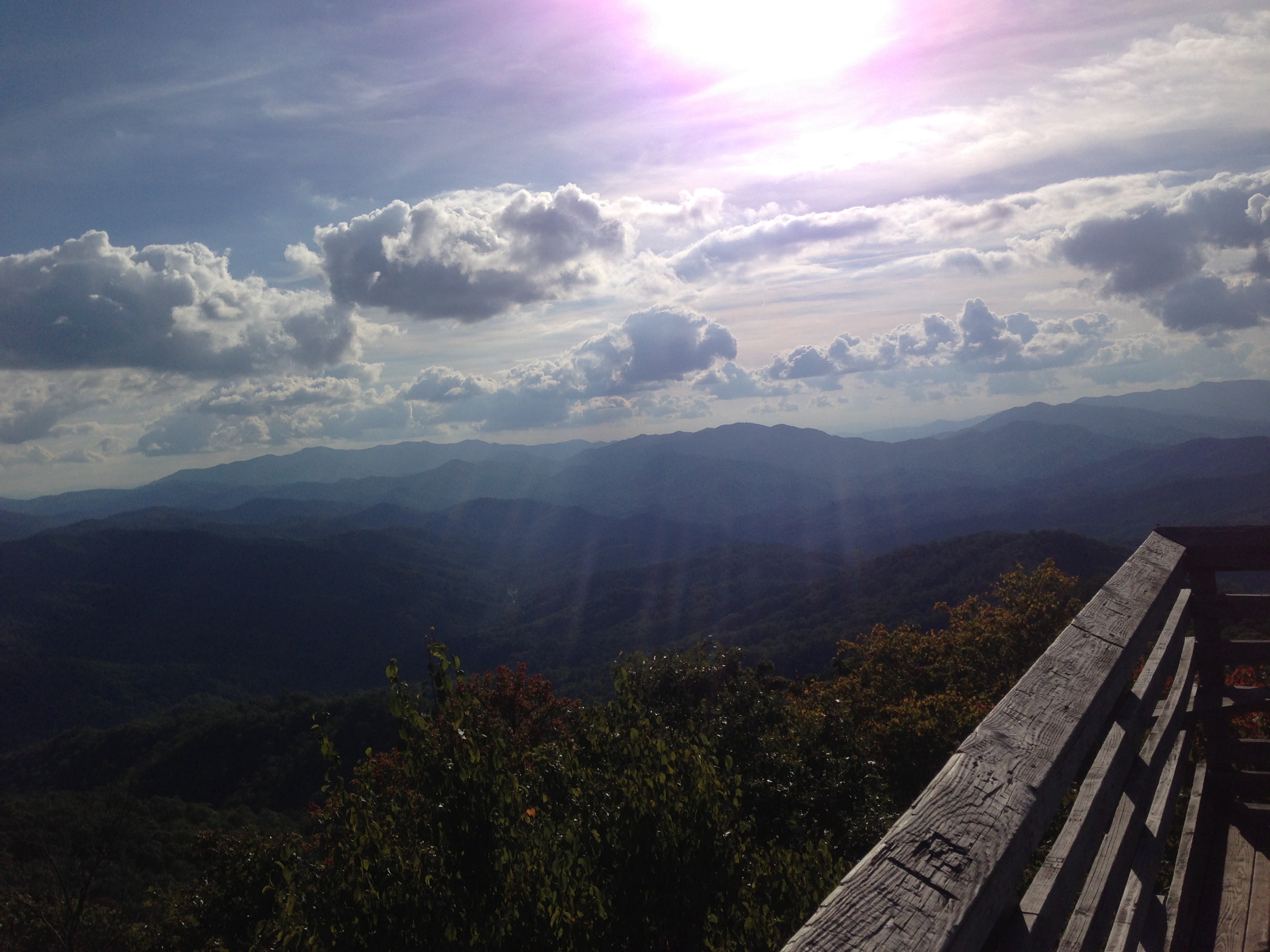
North Carolina Scenic View

Cowee Bald Fire Tower - North Carolina
W4C/WM-024 - Siler Bald View
view from the road
Side View Of Macon County Courthouse
Cowee Valley by Susan

View from W4C/WM-058 - Wesser Bald
Front Porch View 1

View from Tellico Gap
View from Wesser Bald firetower
Views from the train

GSMR Rounding The Bend

One of my Favorite Spots
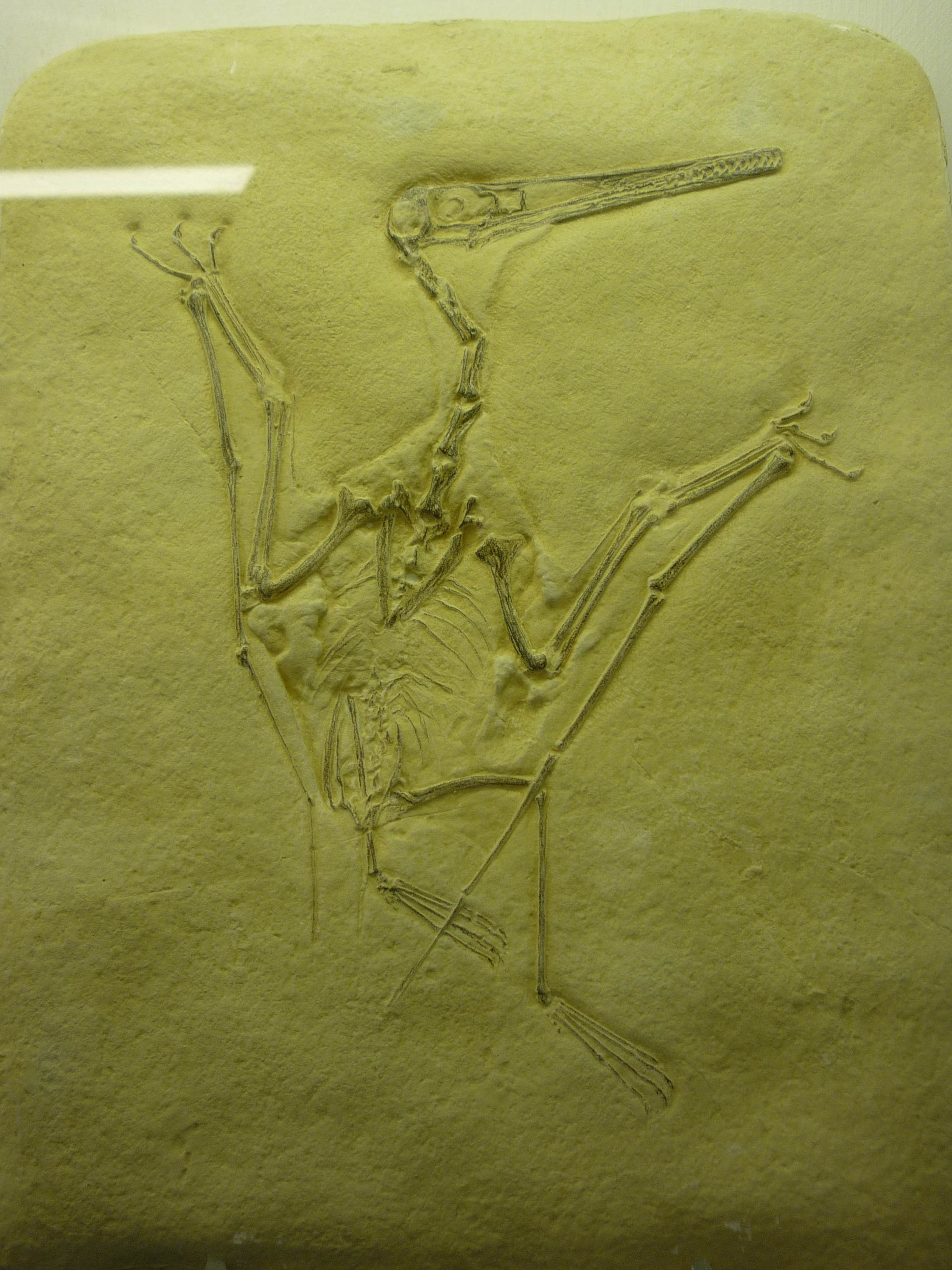
bird-like fossil
82-140_View_from_Wayah_Bald_Nantahala_National_Forest_NC

Nantahala Outdoor Center
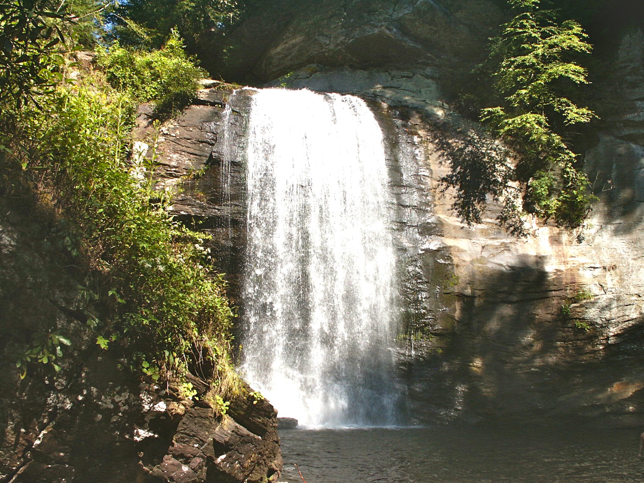
Looking Glass Falls, Pisgah National Forest, NC
Fields of Gold | Franklin, NC

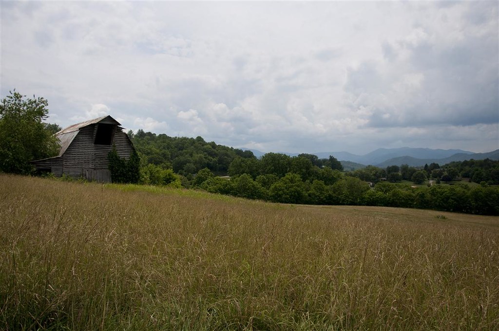
Old Murphy Road: Macon County, North Carolina
Wild Flower & Spec 046
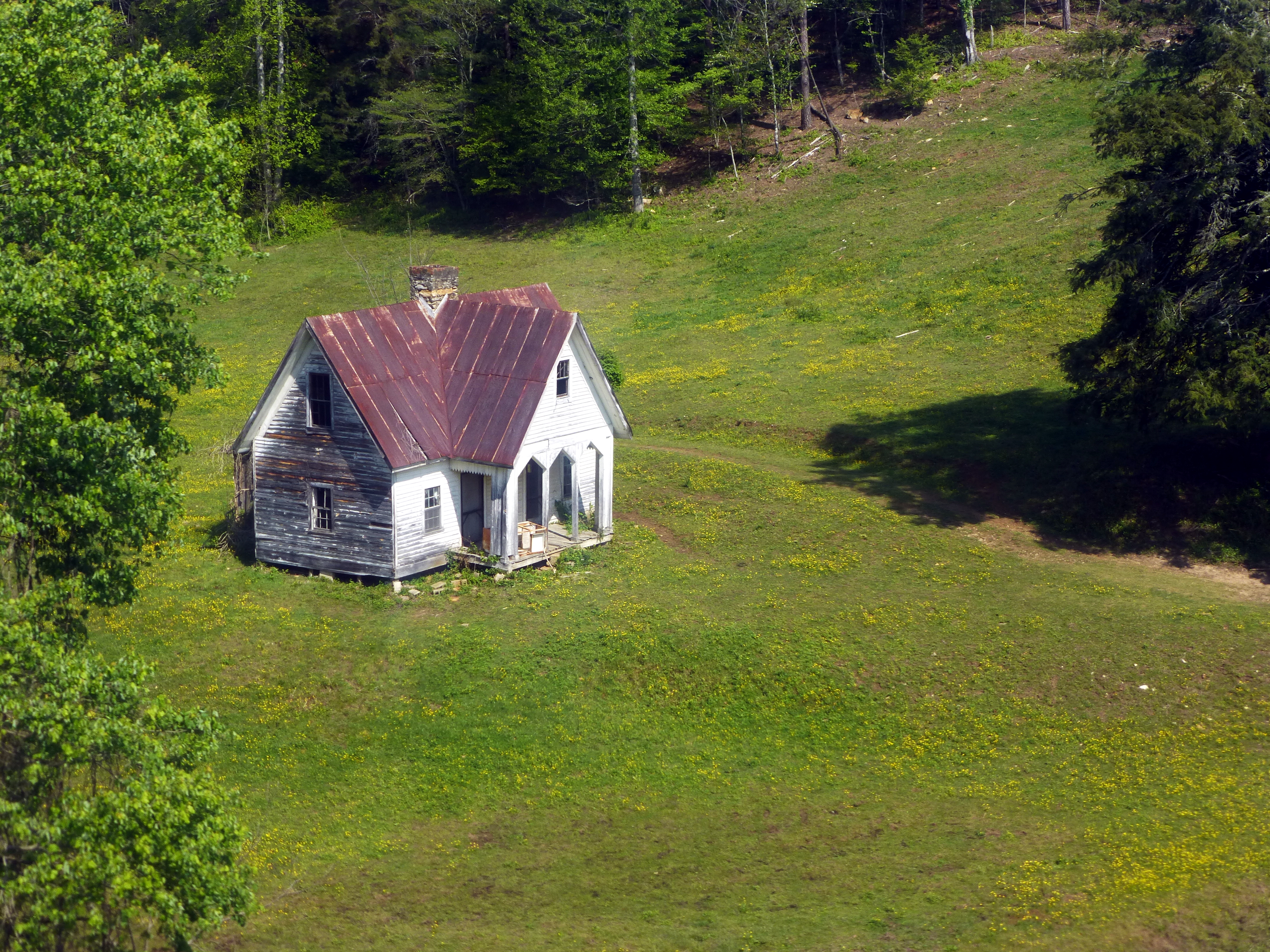
Fixer Upper

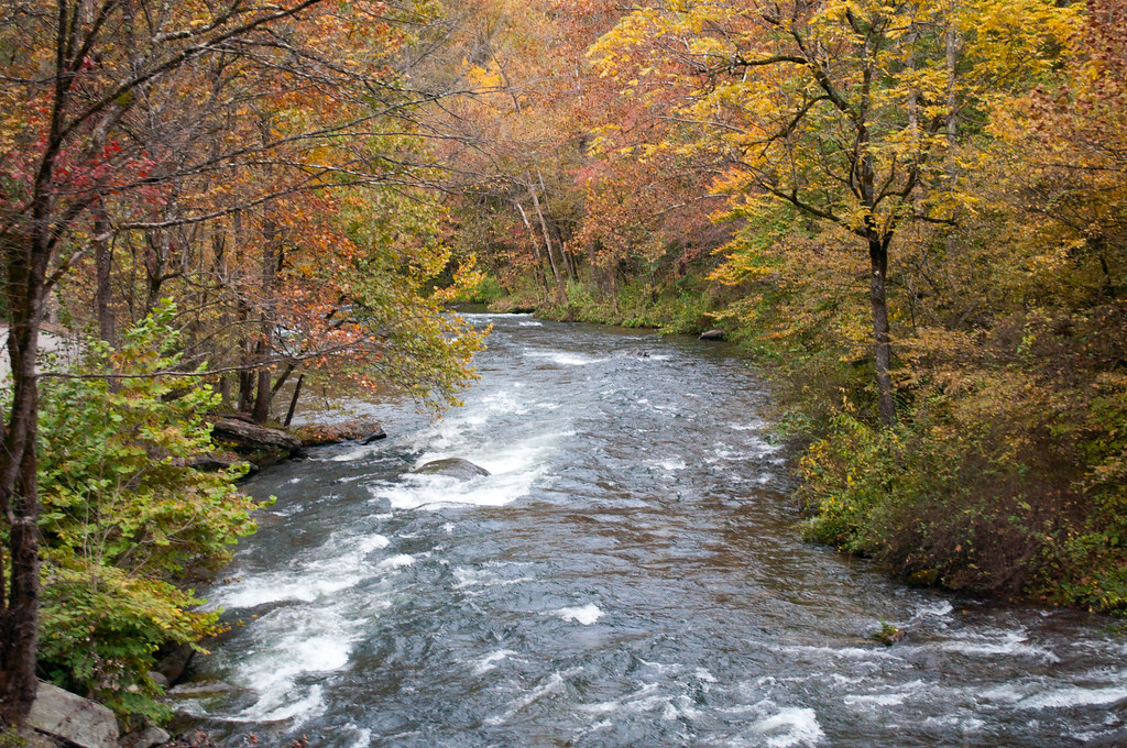
Rufus Morgan Falls

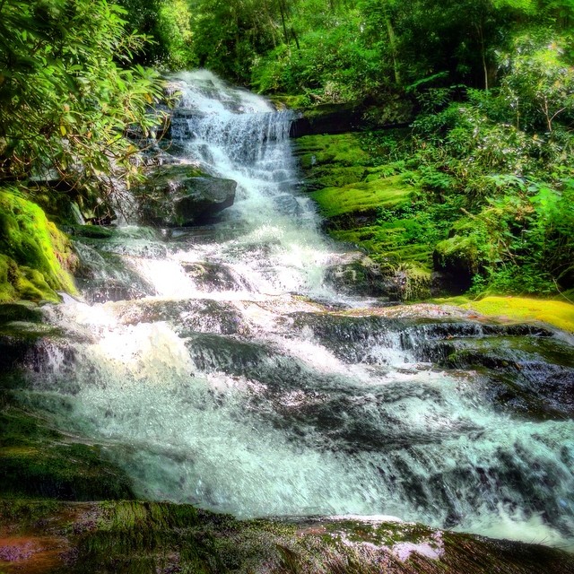
Big Laurel Falls #franklin #standingindian #appalachia #blueridgecountry #welovenc #we_see_wnc #wilderness_culture #biglaurelfalls #diamondbrand_outdoors #cmc100challenge #stream #falls #explore #westernnorthcarolina #landofwaterfalls
Alarka Falls #alarkafalls #brysoncity #wnc #ncwaterfalls #waterfallpics #waterfallhiking #waterfallphotography #iphotography #igersoftheday #828isgreat #blueridgecountry
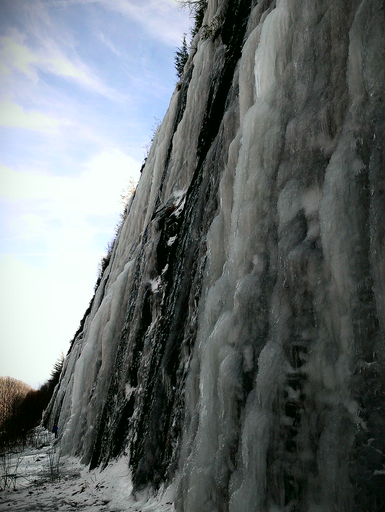
Interstate ice wall
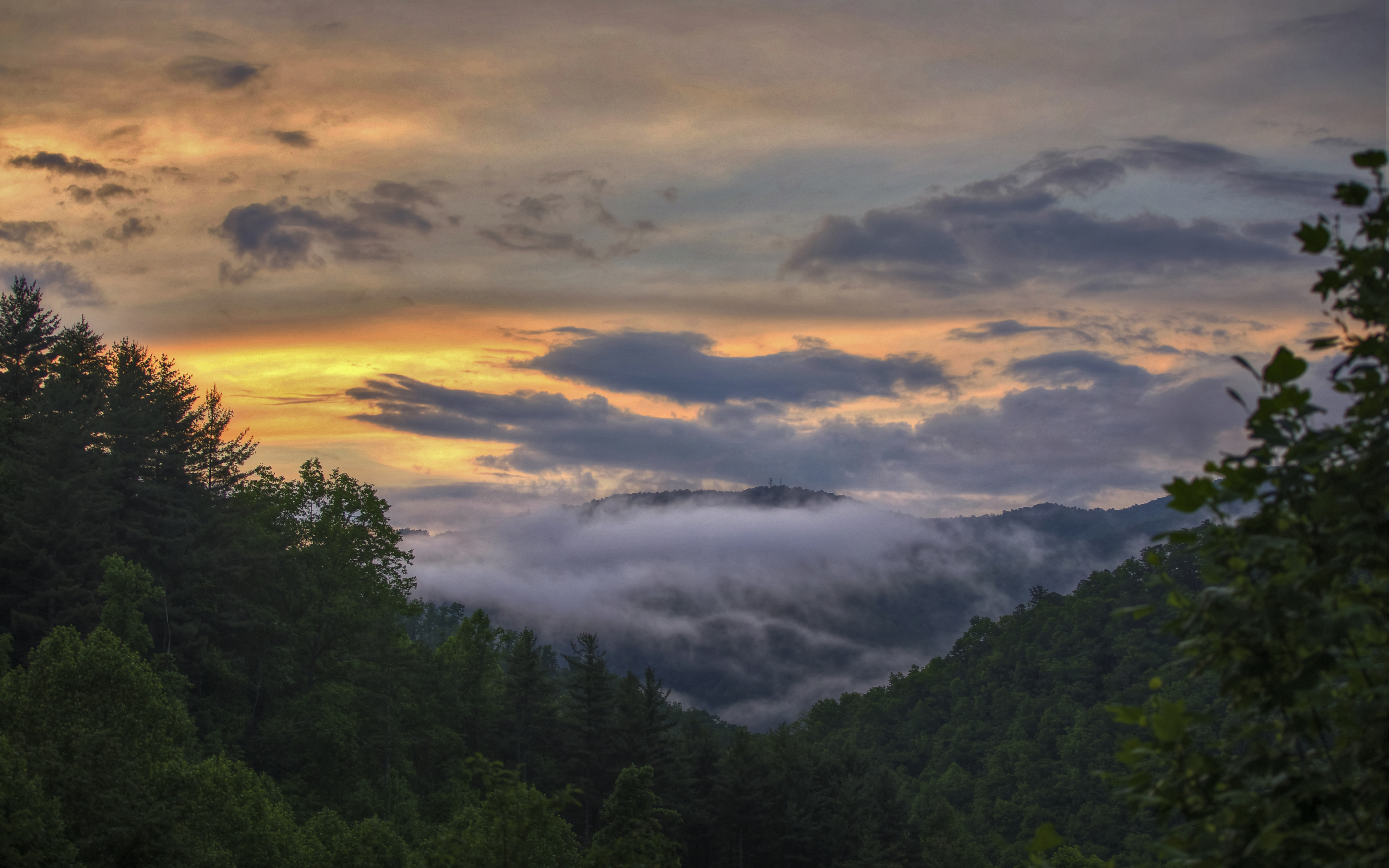
Smoky Mountains
2013-09-28 17.08.25
Wesser Bald Observation Tower - Macon County, North Carolina (HDR)

2013-09-28 17.08.41
Topographic Map of Bonfire Dr, Franklin, NC, USA
Find elevation by address:

Places near Bonfire Dr, Franklin, NC, USA:
525 Bonfire Dr
Bonfire Drive
165 Mountain Whispers Dr
Mystic Mountain Ridge
7374 Lower Burningtown Rd
Kelly Cove Road
8066 Lower Burningtown Rd
305 Climbing Bear Dr
524 Welch Rd
524 Welch Rd
315 Ridgetop Rd
455 Ridgetop Rd
455 Ridgetop Rd
16 Mcgaha Rd
16 Mcgaha Rd
884 Carnes Rd
1127 Welch Rd
153 Queen Branch Rd
44 Clint Cole Rd
145 Penny Ln
Recent Searches:
- Elevation of Woolwine, VA, USA
- Elevation of Lumagwas Diversified Farmers Multi-Purpose Cooperative, Lumagwas, Adtuyon, RV32+MH7, Pangantucan, Bukidnon, Philippines
- Elevation of Homestead Ridge, New Braunfels, TX, USA
- Elevation of Orchard Road, Orchard Rd, Marlborough, NY, USA
- Elevation of 12 Hutchinson Woods Dr, Fletcher, NC, USA
- Elevation of Holloway Ave, San Francisco, CA, USA
- Elevation of Norfolk, NY, USA
- Elevation of - San Marcos Pass Rd, Santa Barbara, CA, USA
- Elevation of th Pl SE, Issaquah, WA, USA
- Elevation of 82- D Rd, Captain Cook, HI, USA