Elevation of Carlisle Whitmire Hwy, Whitmire, SC, USA
Location: United States > South Carolina > Union County >
Longitude: -81.562073
Latitude: 34.5230019
Elevation: 145m / 476feet
Barometric Pressure: 100KPa
Elevation Map:
Satellite Map:
Related Photos:
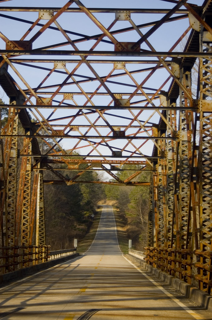
Crybaby Bridge
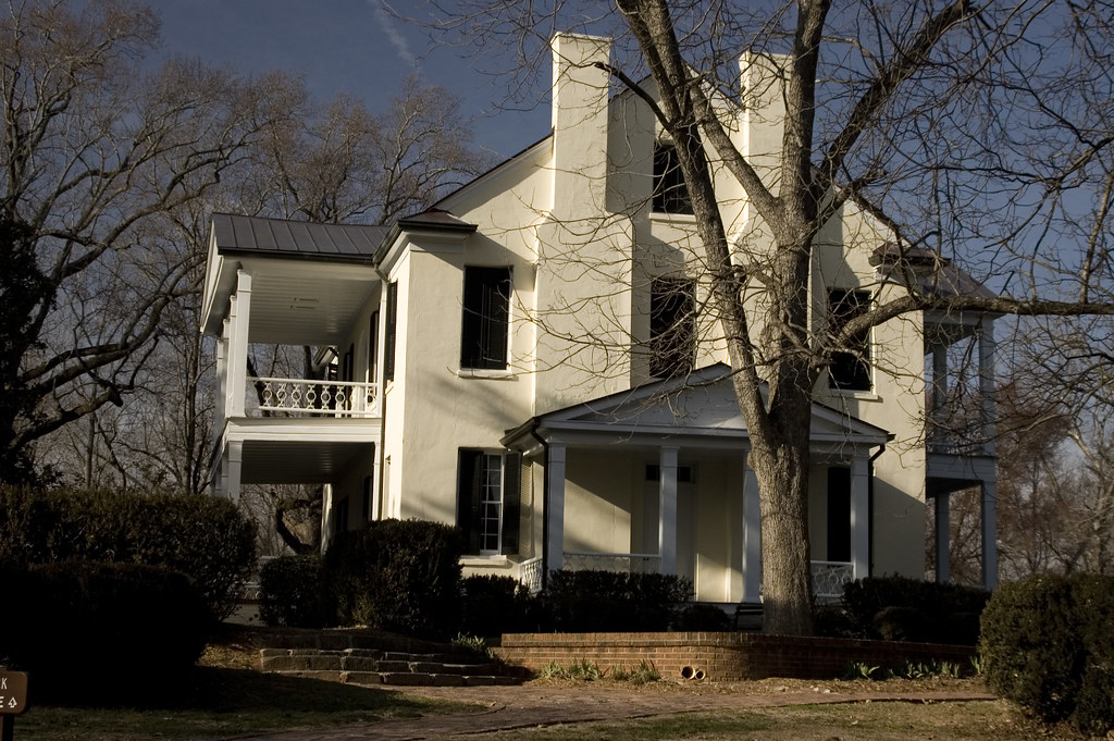
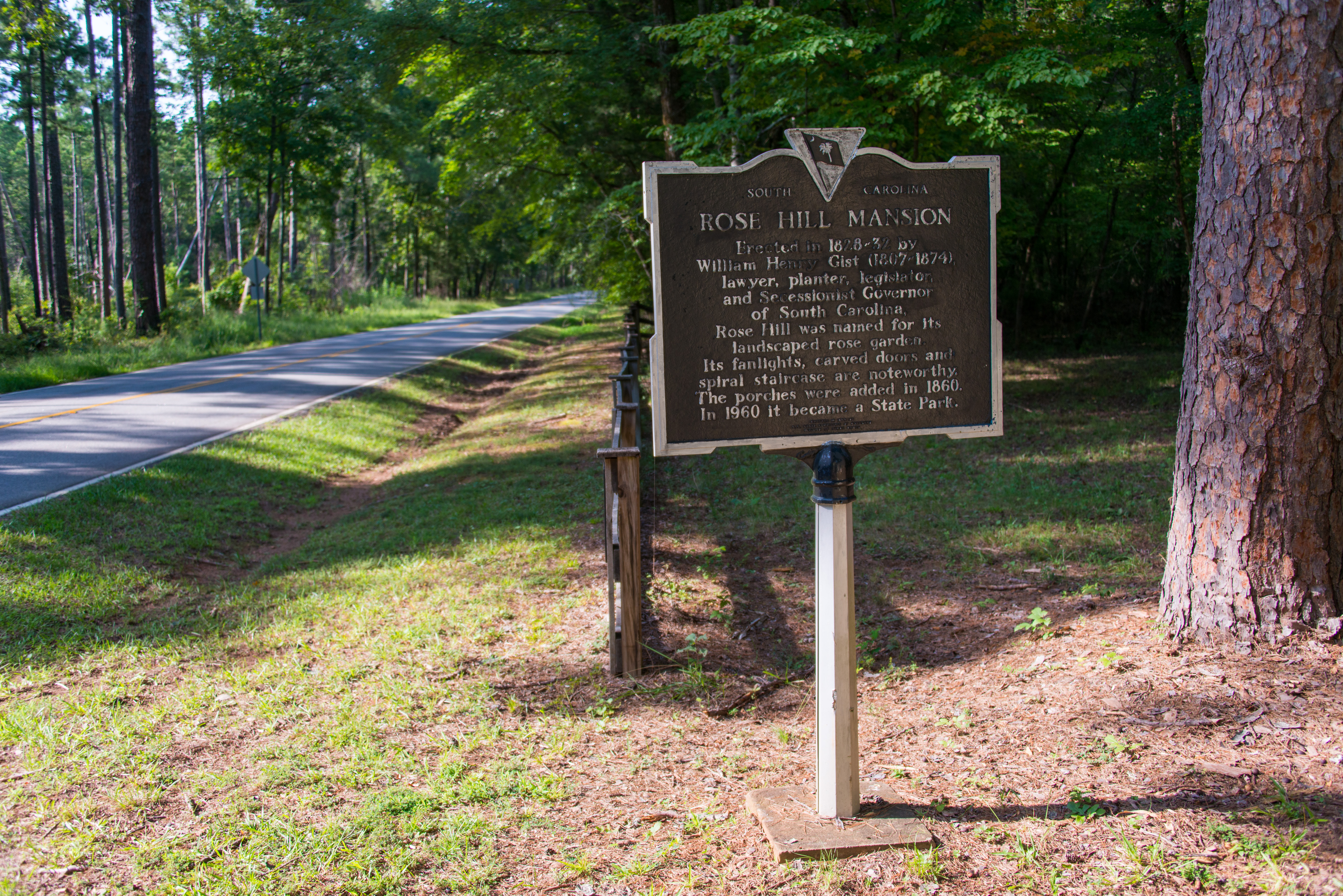
Rose Hill Plantation
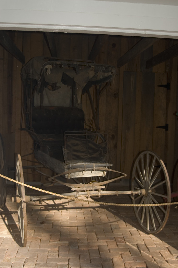
Piano Carriage
Rose Hill 3
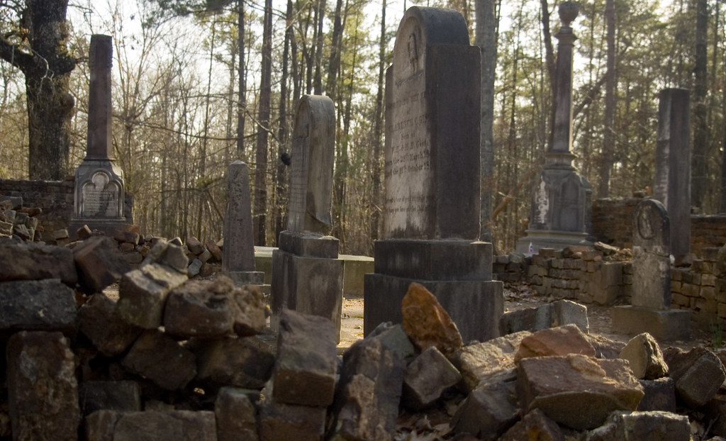
Gist Family Cemetery
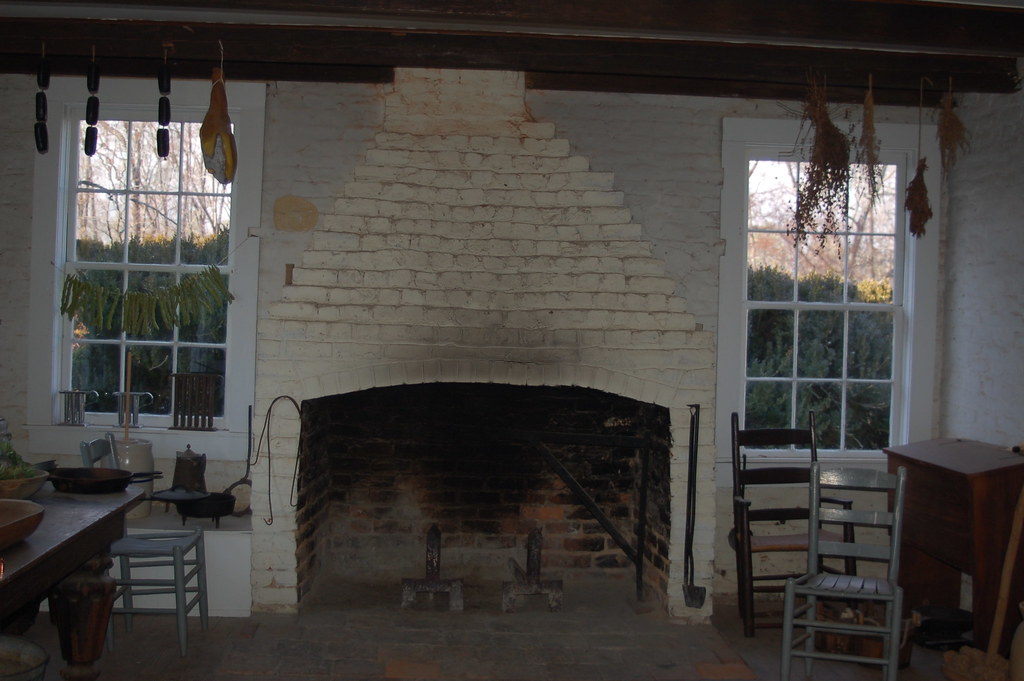
Rose Hill Kitchen

Rose Hill through the Main Gate
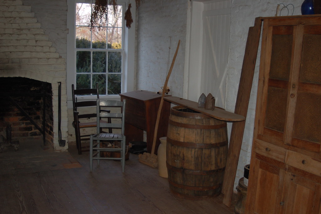
Rose Hill Kitchen
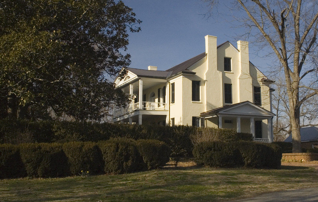
Rose Hill Plantation 2
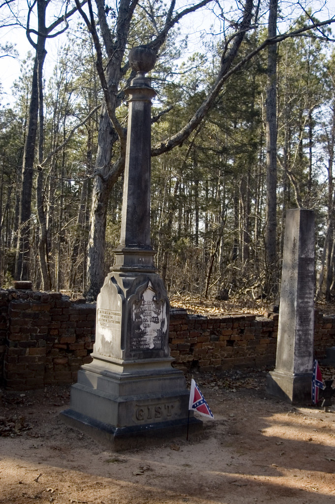
Gist Grave
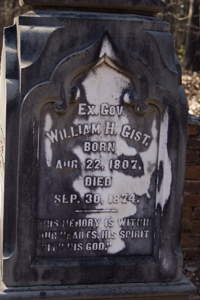
Gist Grave 2
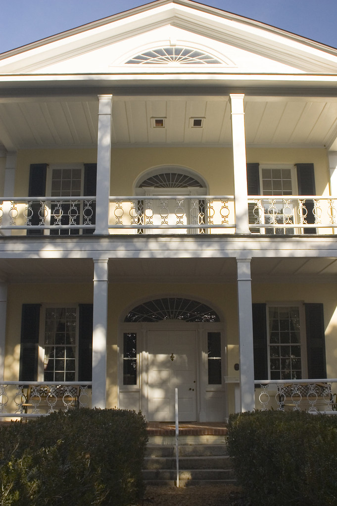
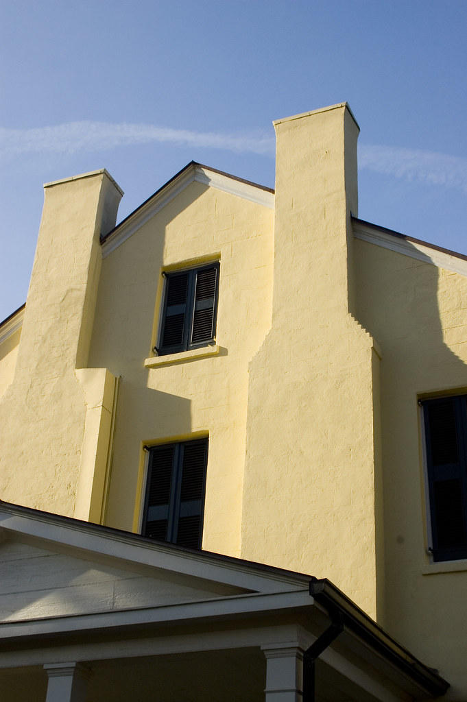
Rose Hill Facade
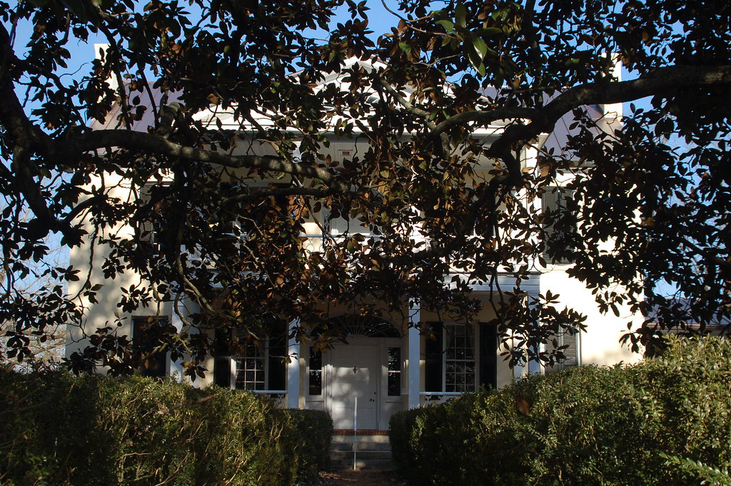
Rose Hill through the Magnolias
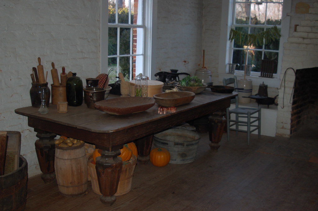
Rose Hill Kitchen

Molly's Rock Road
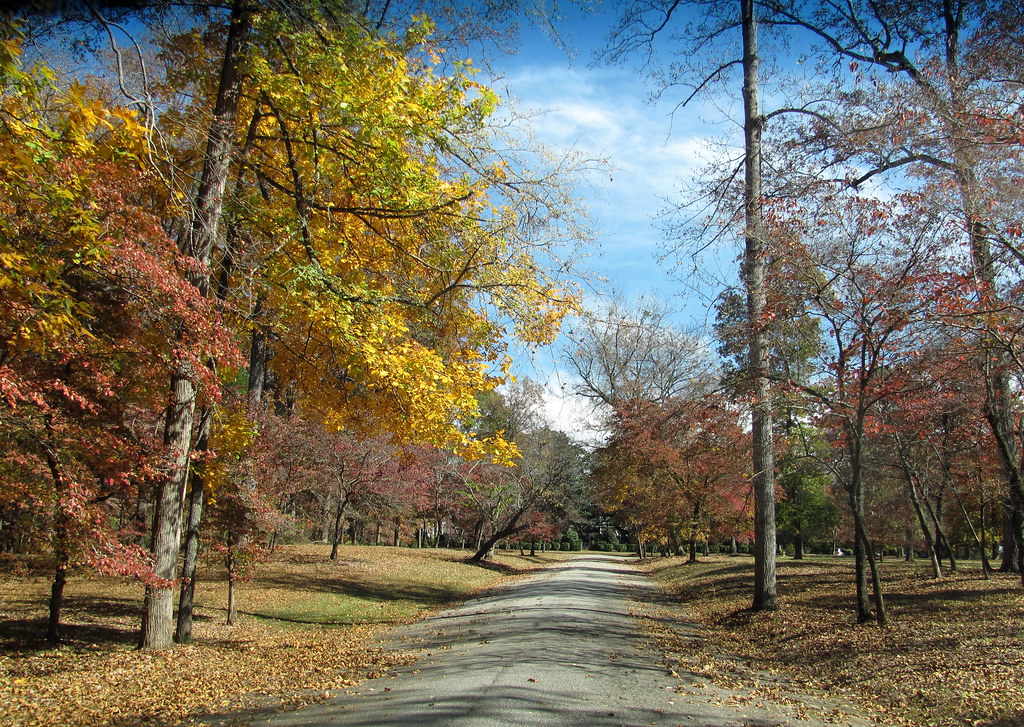
The drive to Rose Hill Home

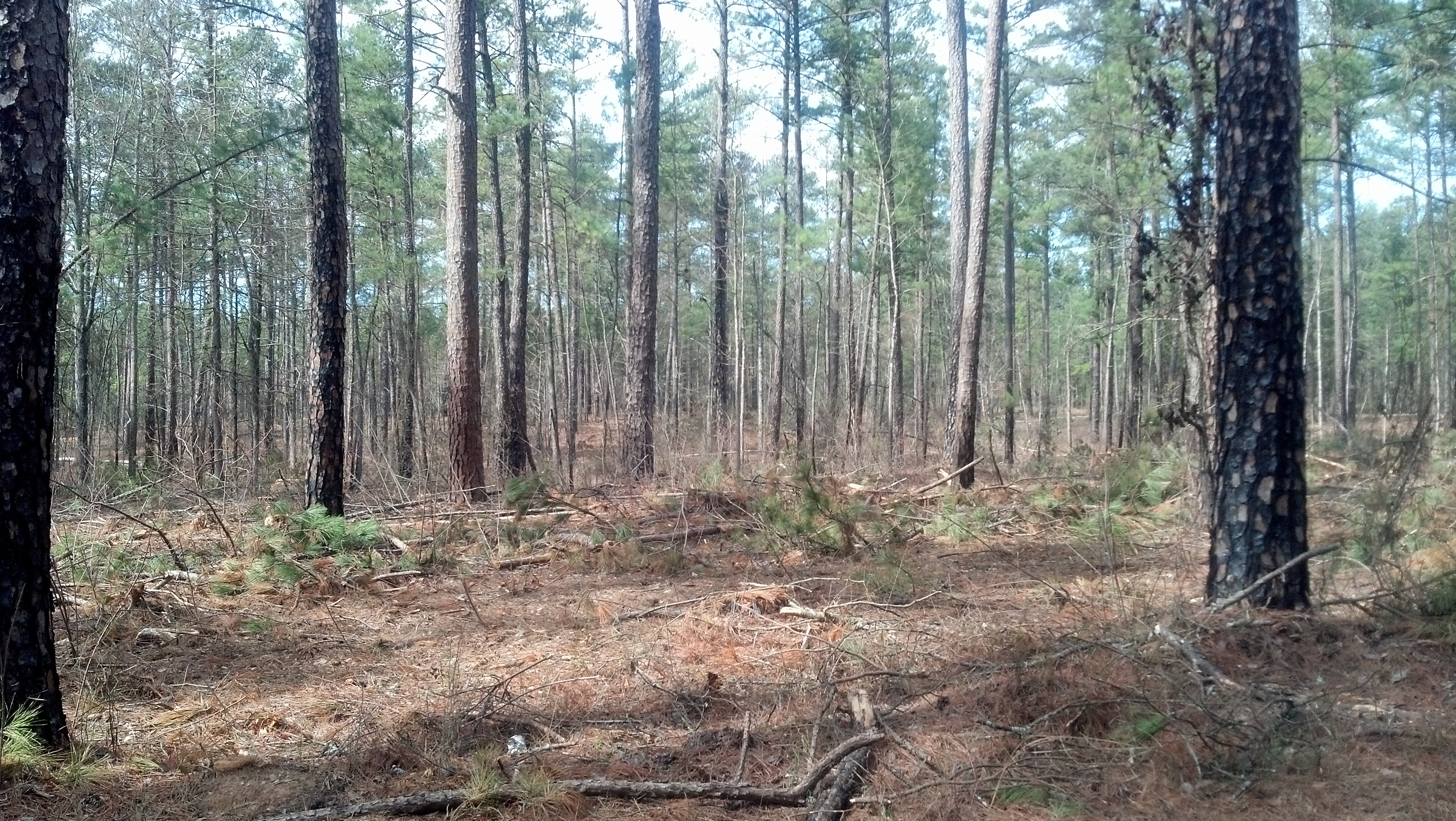
Country Road, Sumter National Forest, South Carolina
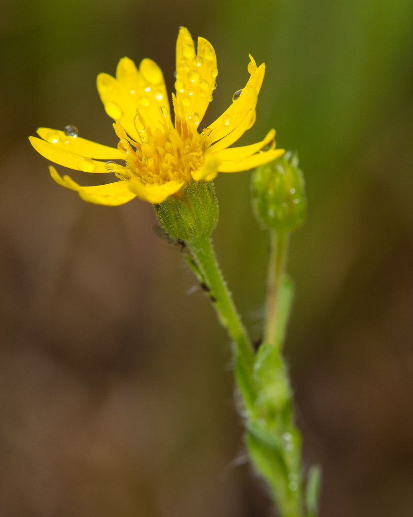
Chrysopsis mariana (Mariana goldenaster)
Brazelman's Bridge in sight
130825-4992 Rose Hill Plantation

Deeper Water

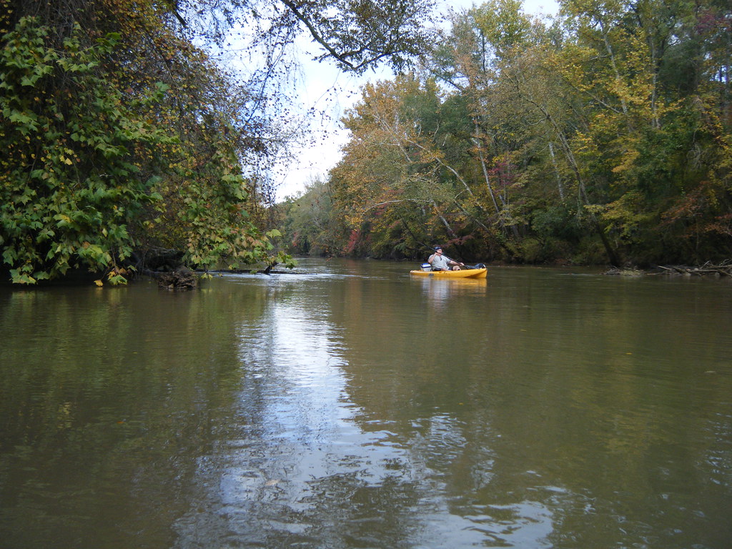
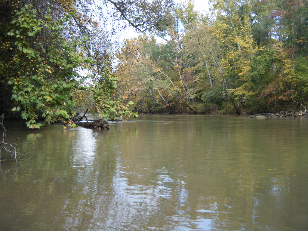
Enoree River
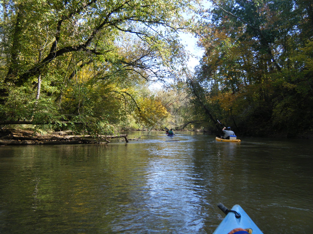
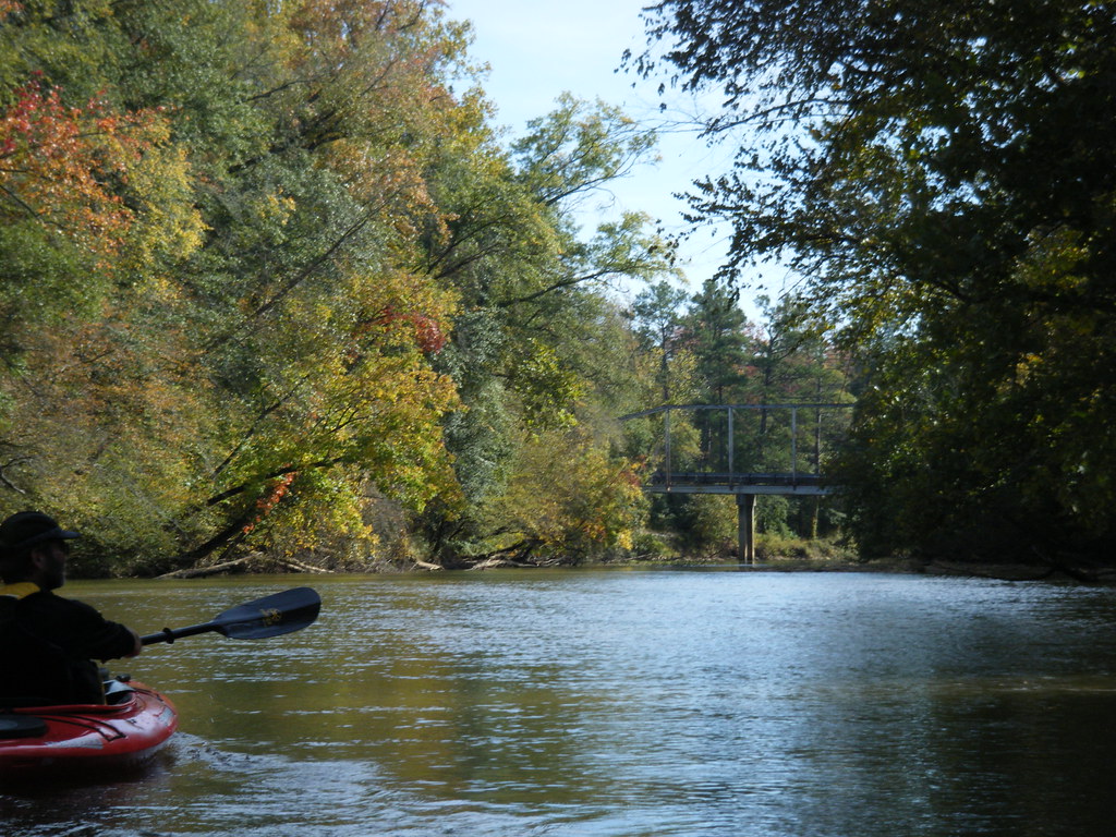
Paddling the Enoree
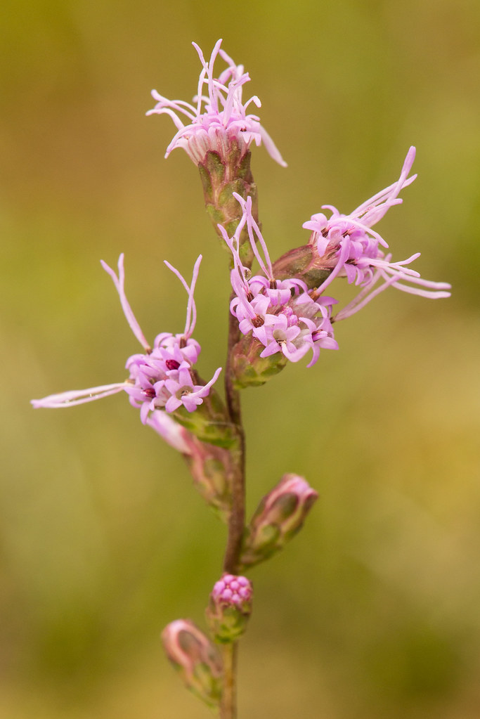
Liatris spicata (Dense blazing star)
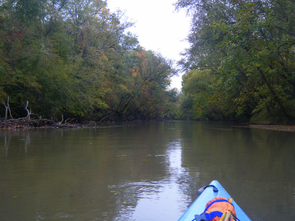
Paddling on the Enorree
Dave at the Duncan Creek Confluence

Erechtites hieraciifolius (Fireweed)
Whitmire, South Carolina
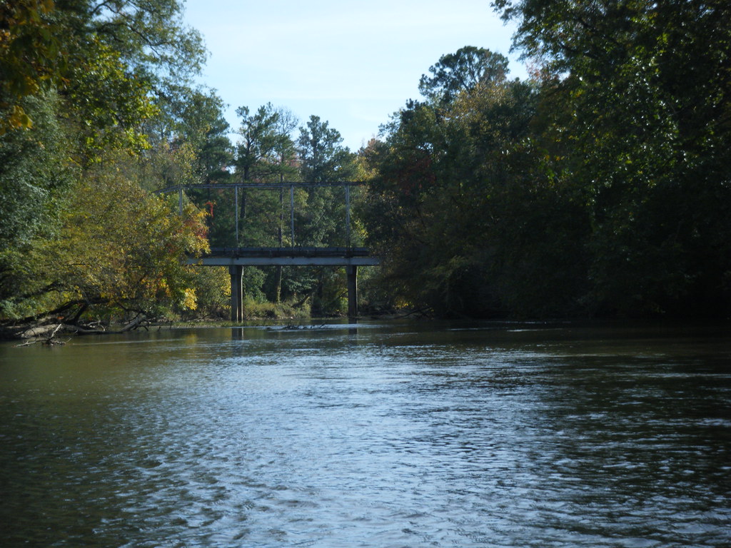
Old and New Bridges
Sardis Road Bridge
Duncan Creek Confluence
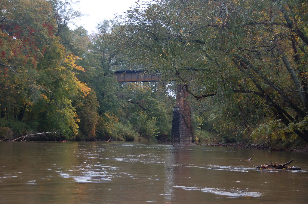
Approaching the Whitemire Rail Trestle
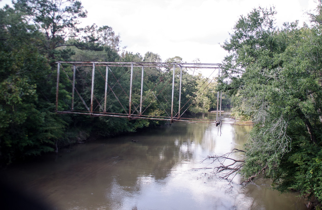
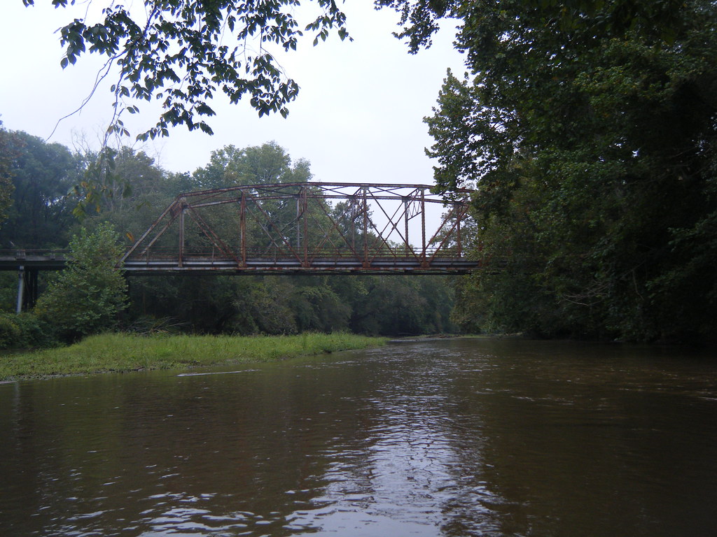
Old Brazzleman's Bridge
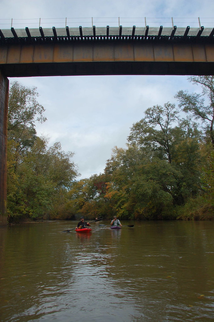
Under the Whitmire Rail Trestle
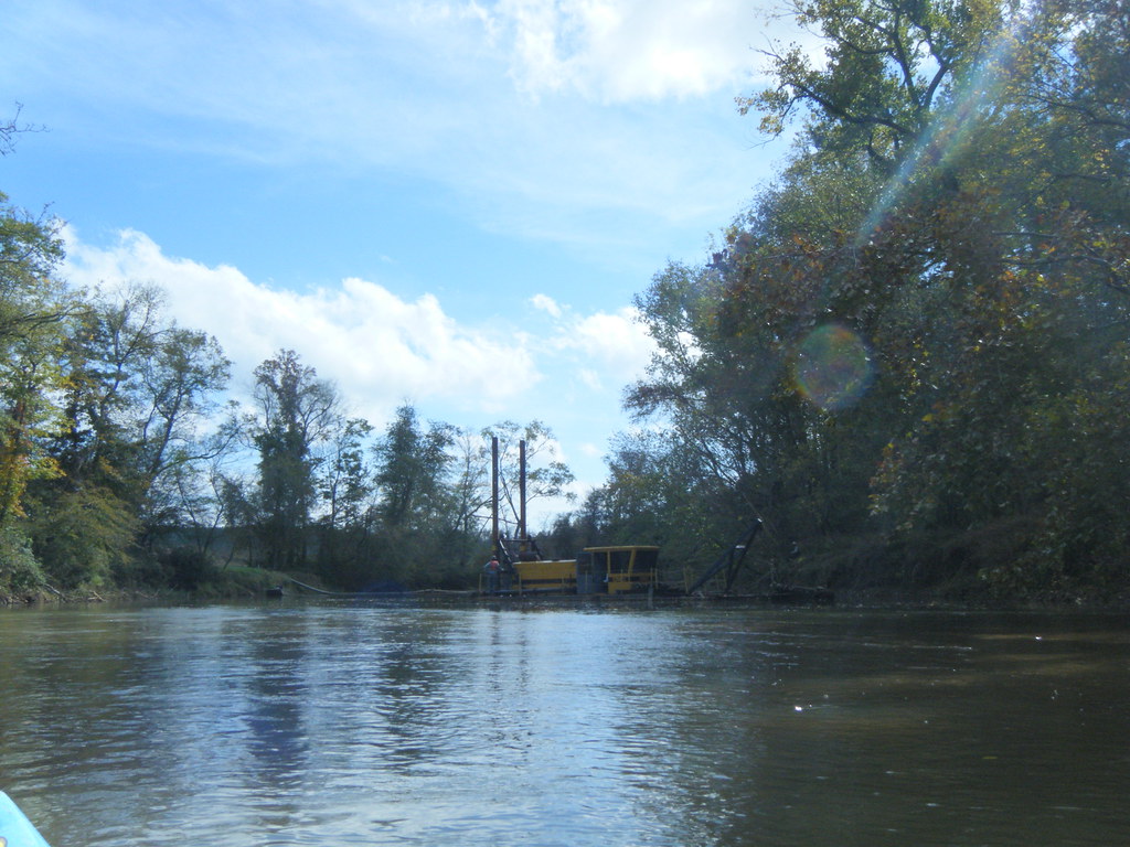
Unusual river obstacle
Topographic Map of Carlisle Whitmire Hwy, Whitmire, SC, USA
Find elevation by address:

Places near Carlisle Whitmire Hwy, Whitmire, SC, USA:
Santuc Carlisle Hwy, Union, SC, USA
Shelton
State Rd S-20-33, Blair, SC, USA
Blair
Ft S Dirt Rd At Broad Ri, Winnsboro, SC, USA
1079 Calvary Church Rd
686 Vanderford Rd
1521 Leitzsey Rd
Dave Cole Rd, Blair, SC, USA
State Rd S-20-18, Blair, SC, USA
Sandy River Rd, Chester, SC, USA
Pomaria
Cabol Rd, Sharon, SC, USA
1645 Candy Kitchen Rd
State Hwy S, Jenkinsville, SC, USA
Prosperity
2614 Loving Circle
Lewis Store Road
2546 Trussel Rd
2570 Center Rd
Recent Searches:
- Elevation of 6 Rue Jules Ferry, Beausoleil, France
- Elevation of Sattva Horizon, 4JC6+G9P, Vinayak Nagar, Kattigenahalli, Bengaluru, Karnataka, India
- Elevation of Great Brook Sports, Gold Star Hwy, Groton, CT, USA
- Elevation of 10 Mountain Laurels Dr, Nashua, NH, USA
- Elevation of 16 Gilboa Ln, Nashua, NH, USA
- Elevation of Laurel Rd, Townsend, TN, USA
- Elevation of 3 Nestling Wood Dr, Long Valley, NJ, USA
- Elevation of Ilungu, Tanzania
- Elevation of Yellow Springs Road, Yellow Springs Rd, Chester Springs, PA, USA
- Elevation of Rēzekne Municipality, Latvia