Elevation of Pomaria, SC, USA
Location: United States > South Carolina > Newberry County >
Longitude: -81.419822
Latitude: 34.2684778
Elevation: 123m / 404feet
Barometric Pressure: 100KPa
Elevation Map:
Satellite Map:
Related Photos:
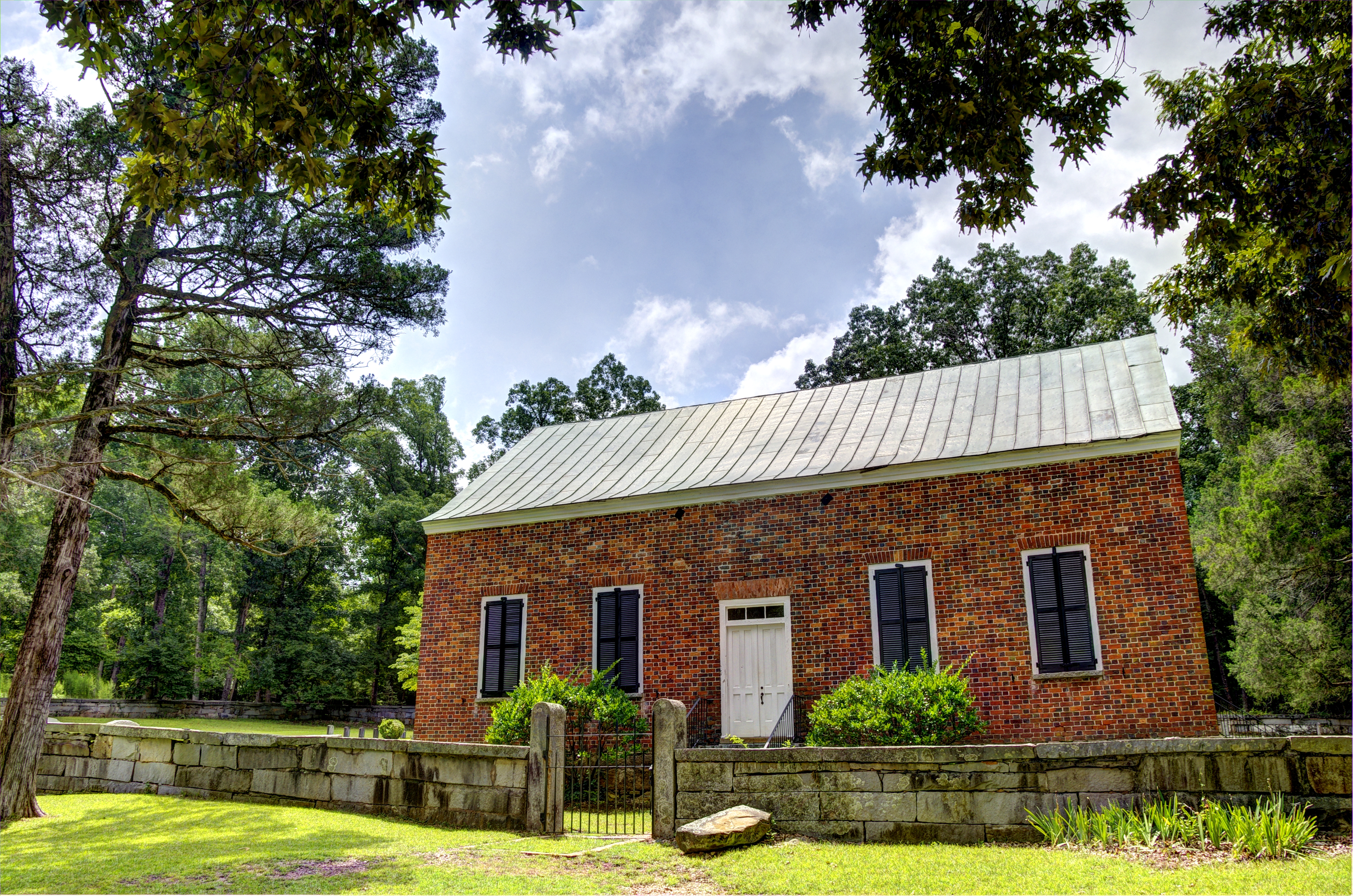
Old Brick Church: Front View (1788)
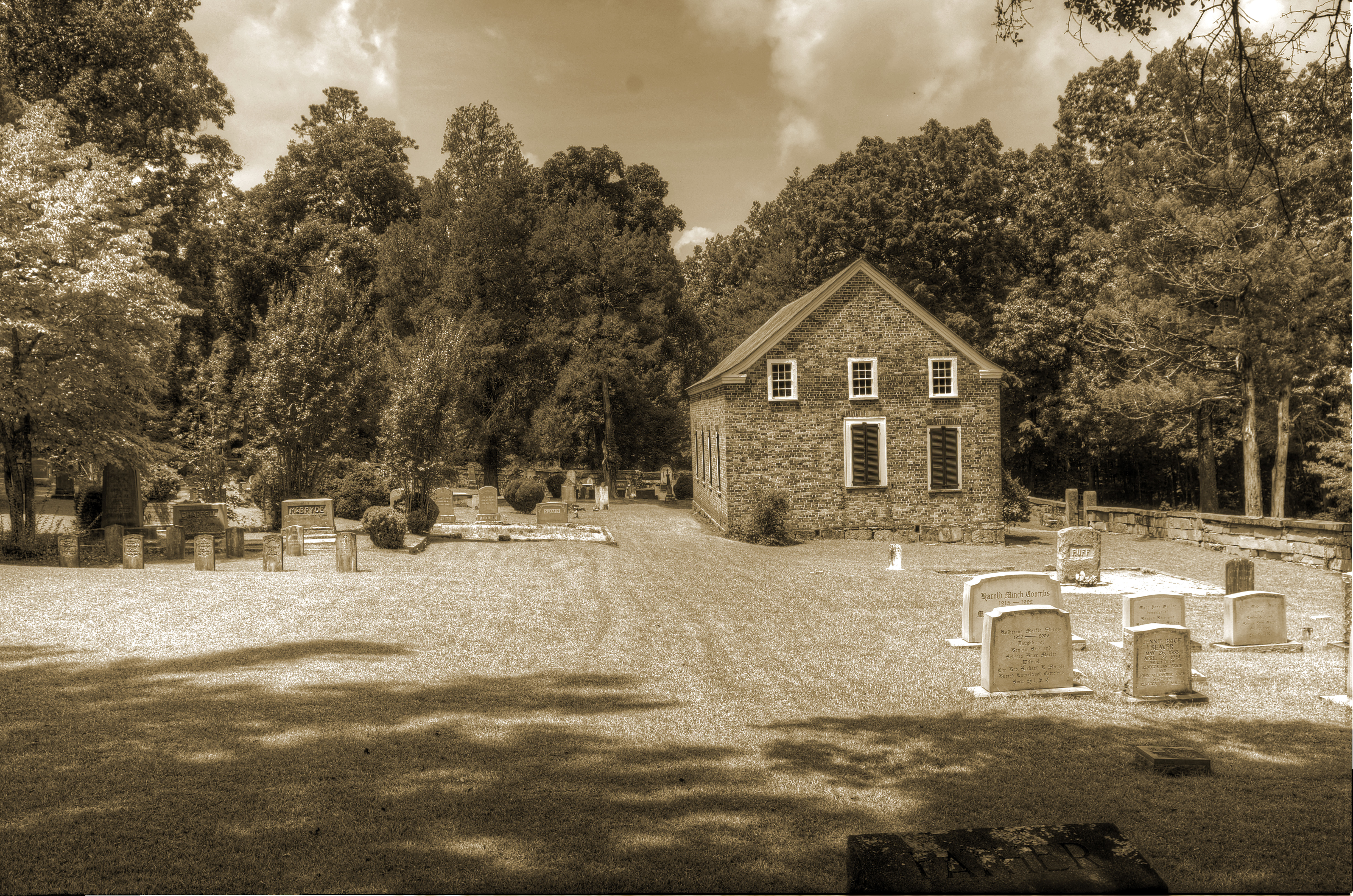
Old Brick Church: Side View (1788)

cemetery angel infrared

Prosperity Cemetery

Prosperity Cemetery infrared

Prosperity Cemetery 2
See through
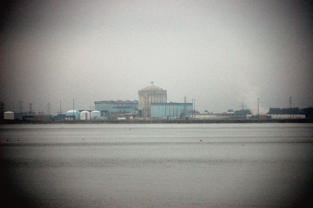
Parr Shoals Nuclear Plant

Monticello Manor

P1050593.JPG
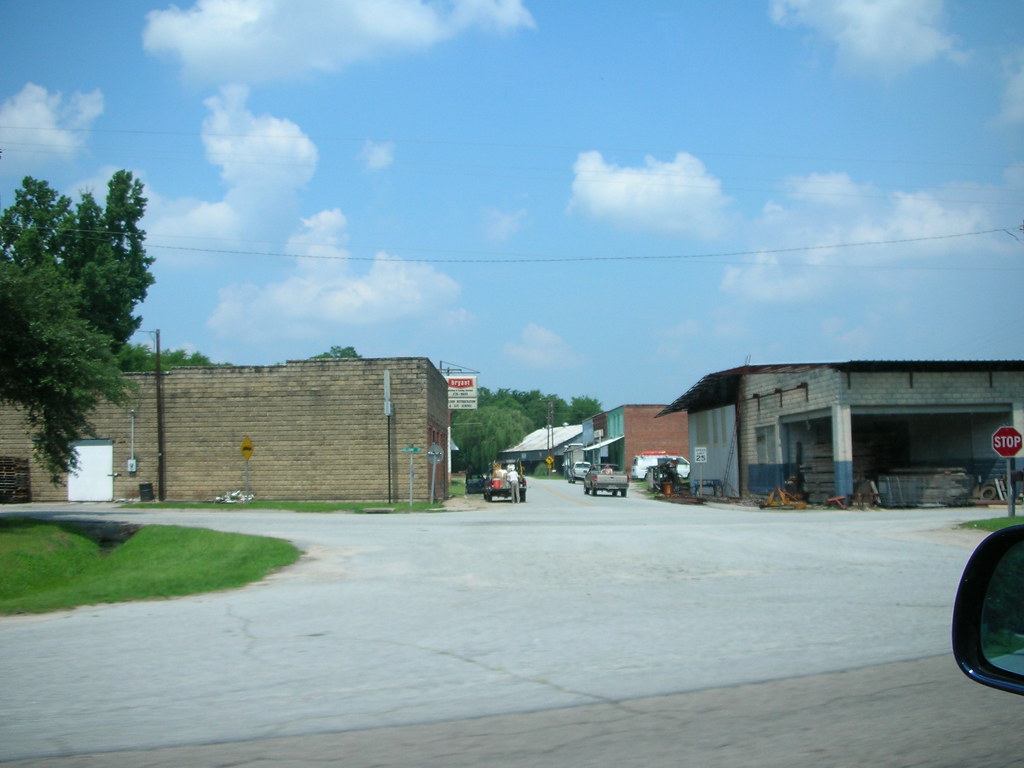
Pomaria Downtown

Vick & Lydia 1

Vick & Lydia 2
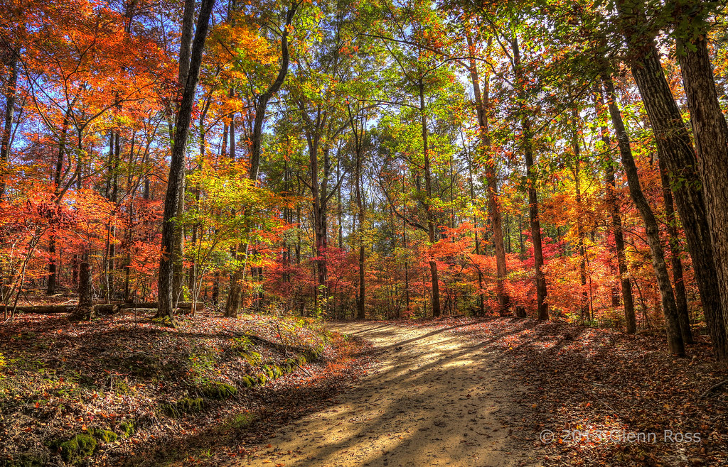
Autumn Road (on explore 11/23/13)-472801

Rocky Branch-518001

Prosperity Cemetery-015
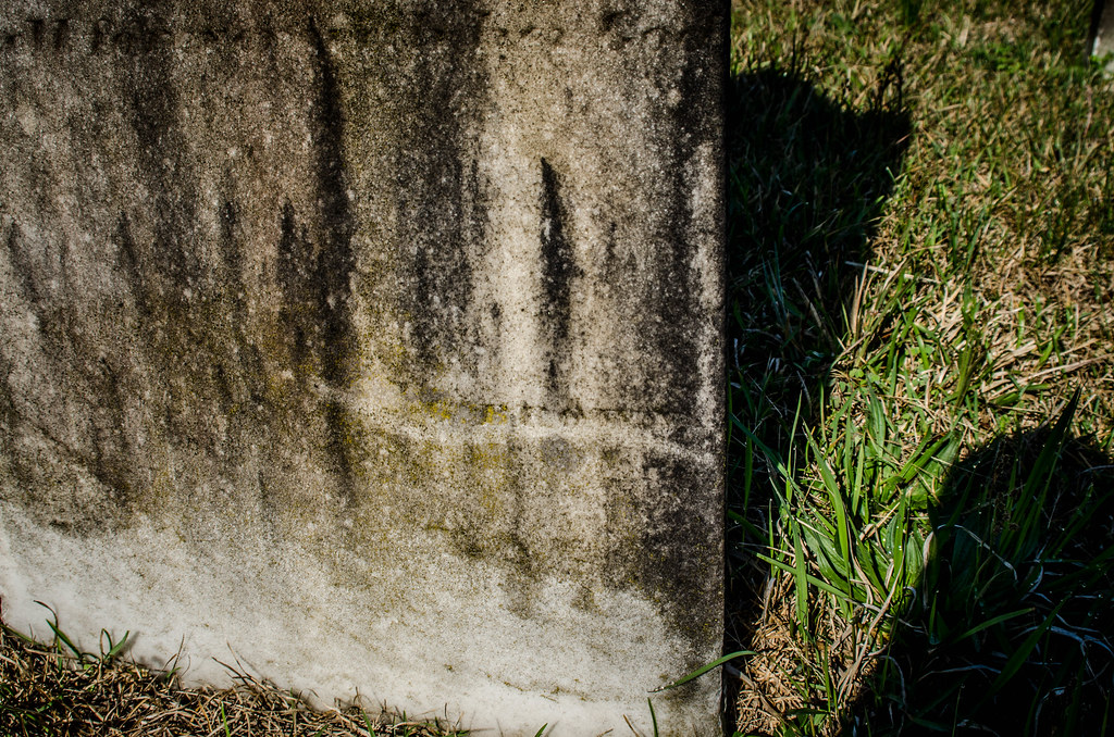
Prosperity Cemetery-017
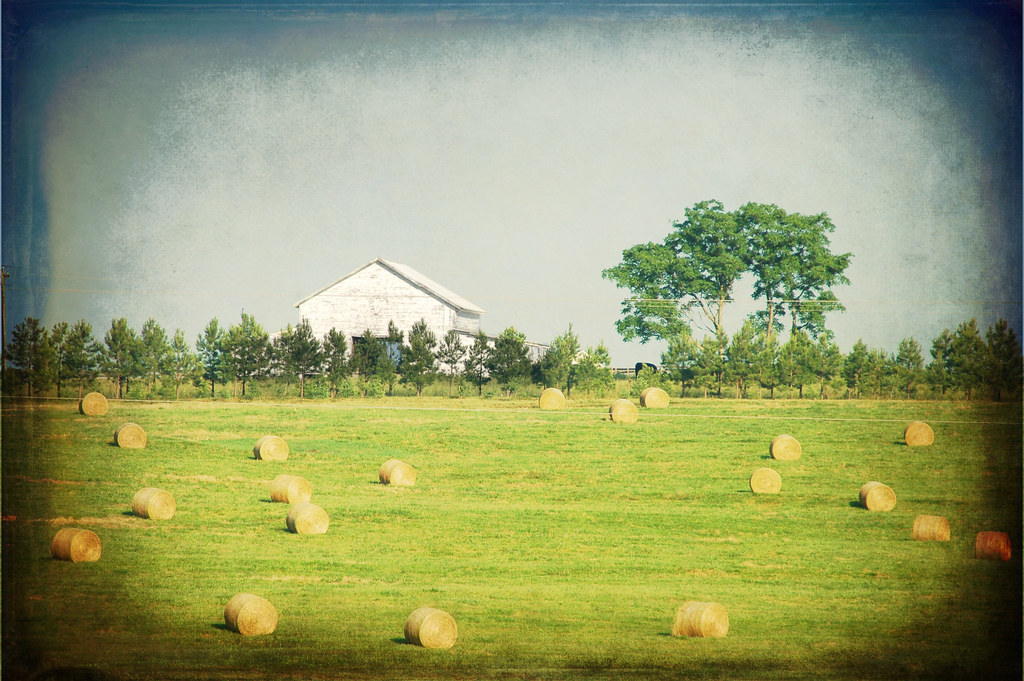
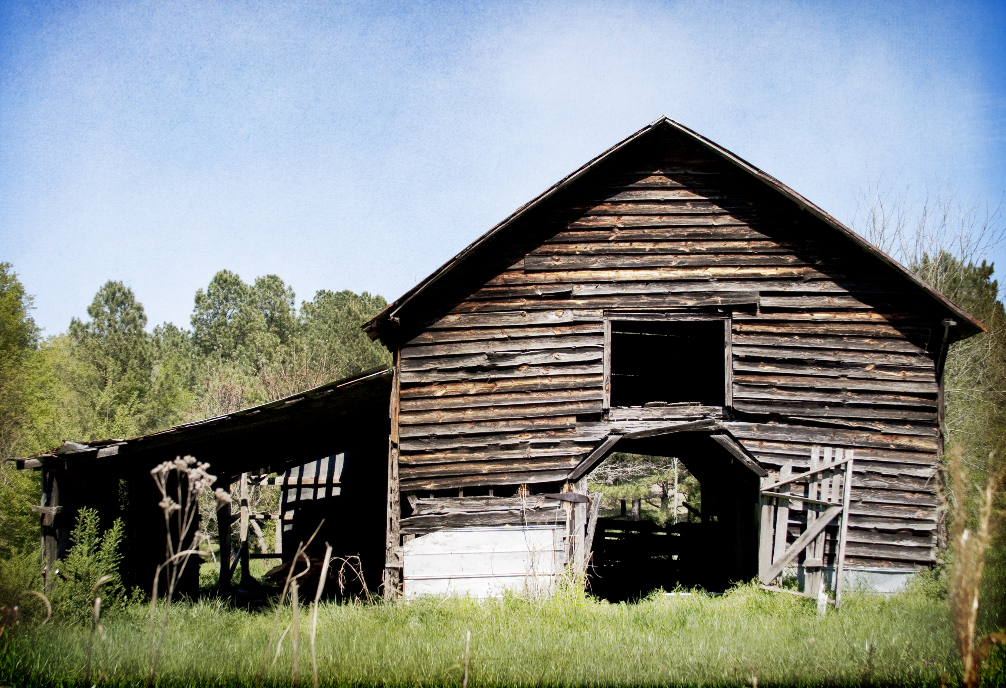
Farm with Texture

Red Bluff

Oxalis violacea (Violet Wood-sorrel)
Alan at Shoals

Palmetto Trail 210

Jenkinsville School and Teacherage-010
First Sunset of 2012 from Lake Murray
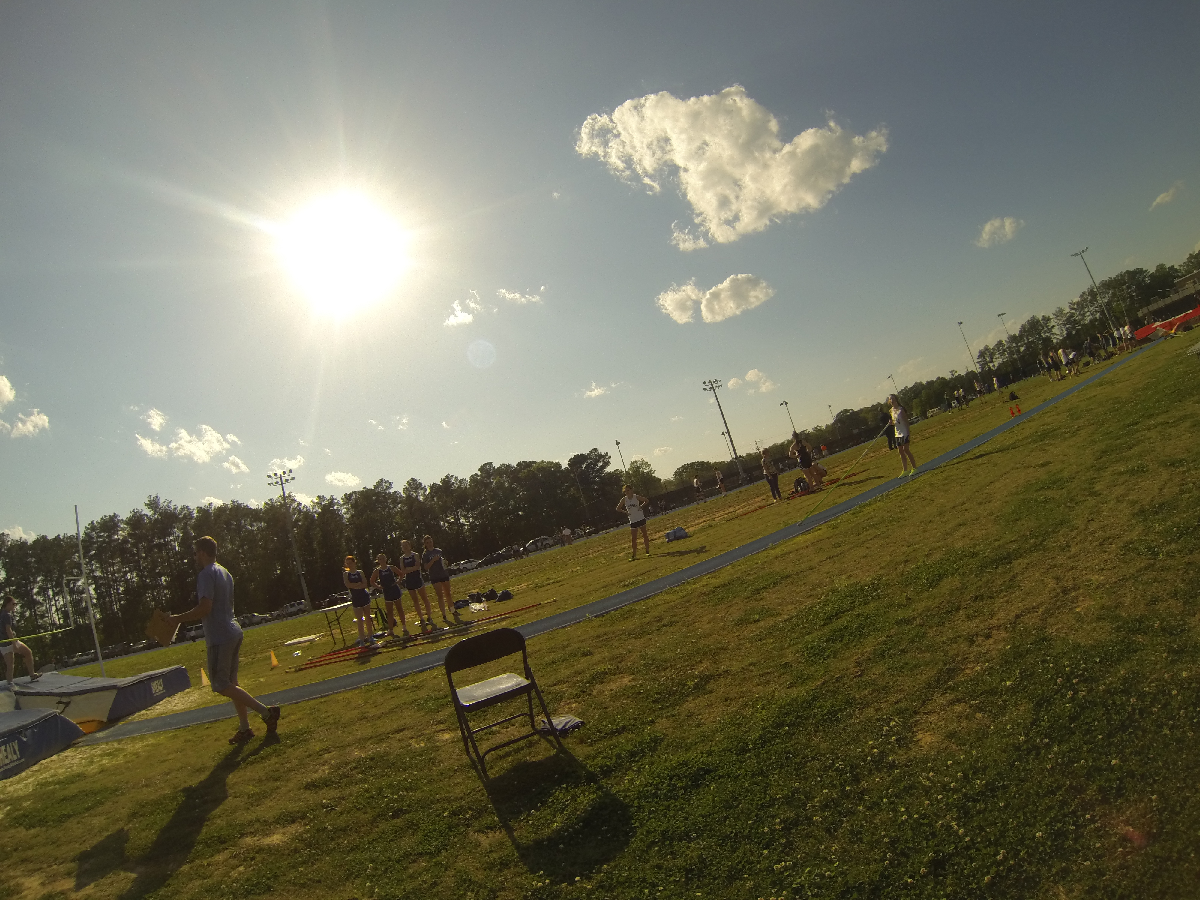
GoPro Track 154
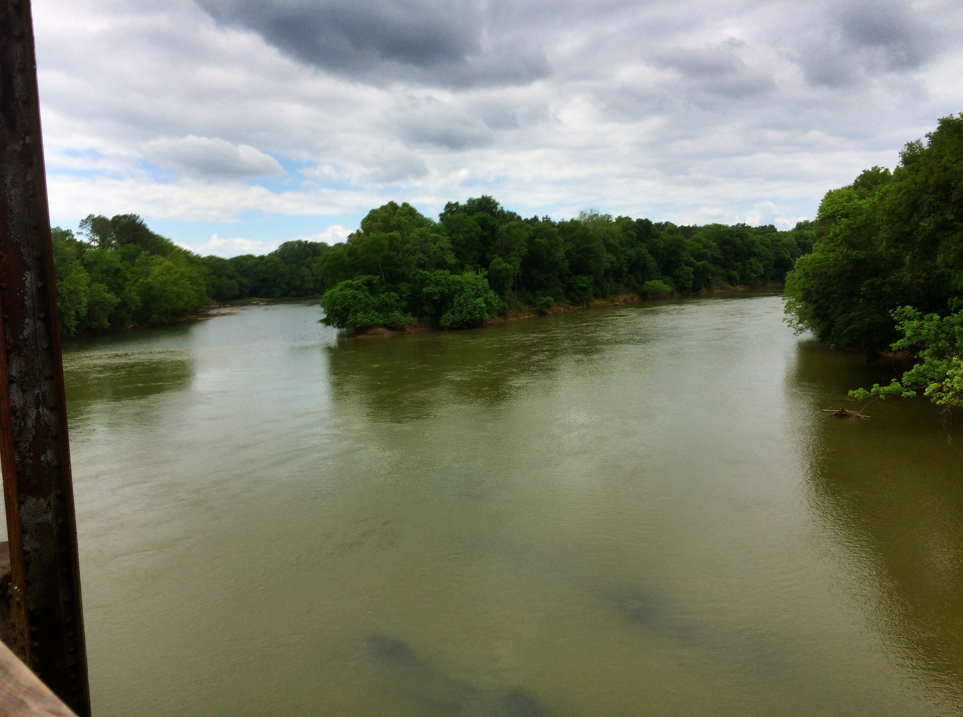
Broad River 3

Jenkinsville School and Teacherage-027
Palmetto Trail 151

Jenkinsville School and Teacherage-021
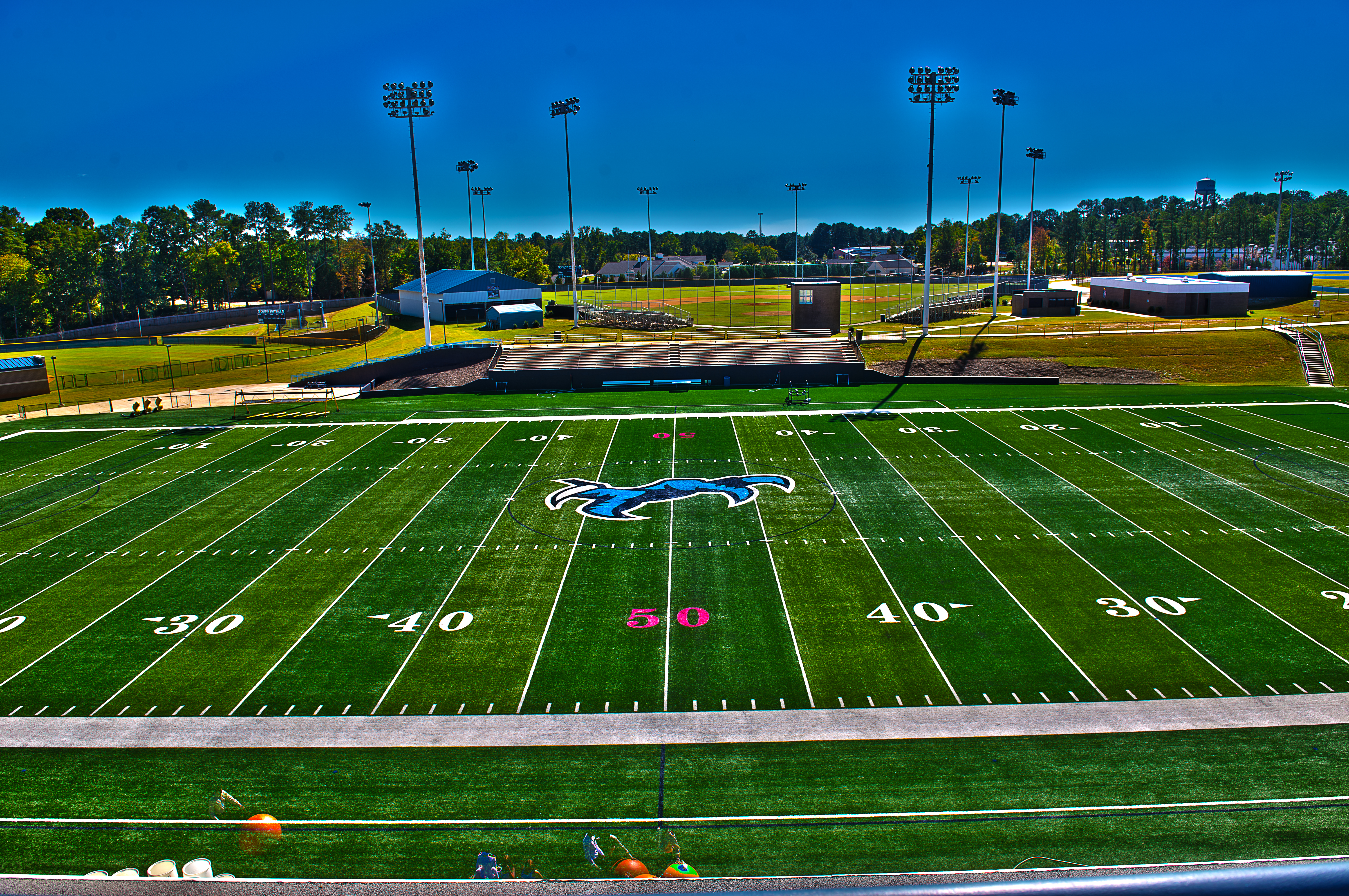
chapin field hdr 2

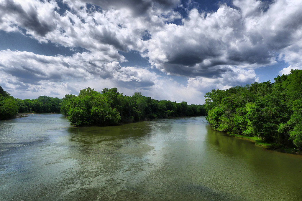
Broad River 1
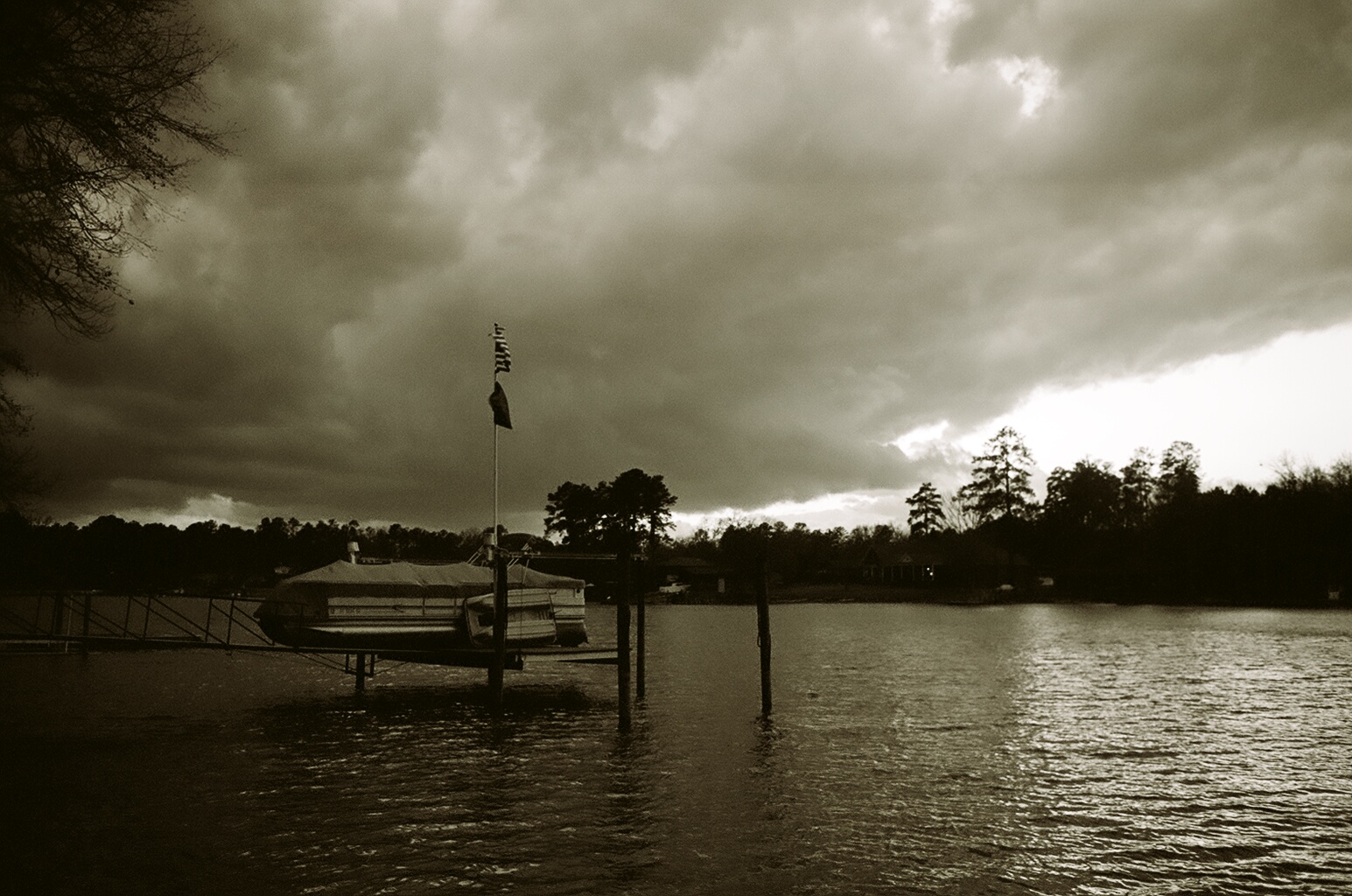
Strother's Landing
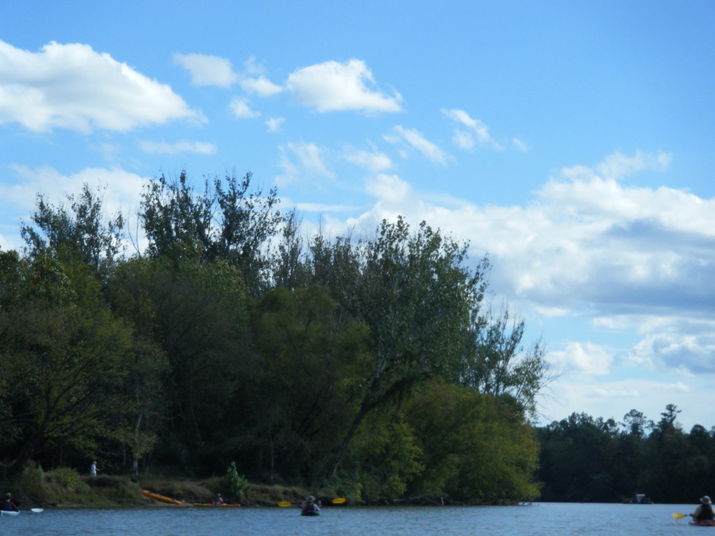
Rounding the Bend onto Cannon Creek
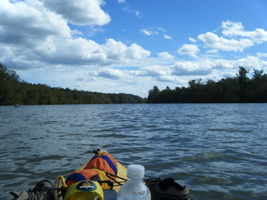
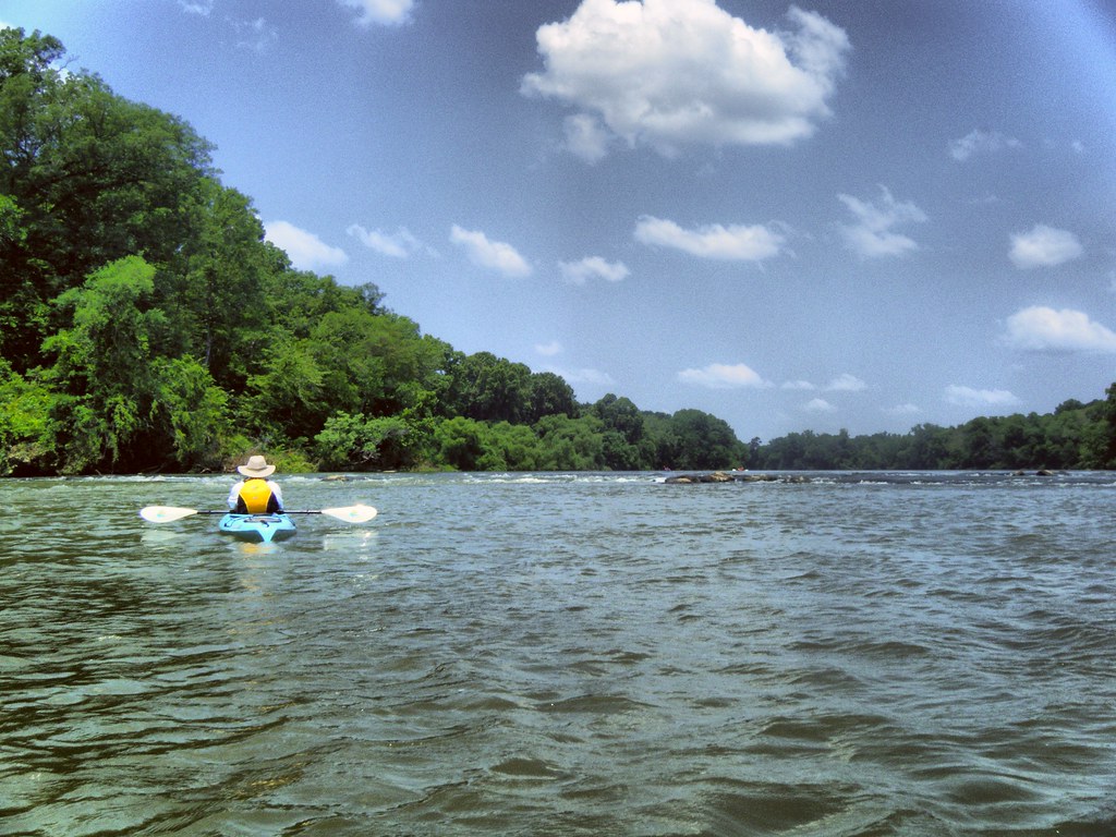
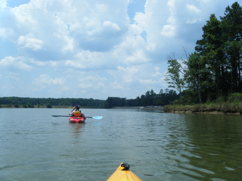
Paddling on the Broad River
Topographic Map of Pomaria, SC, USA
Find elevation by address:

Places near Pomaria, SC, USA:
Little Mountain
Main St, Little Mountain, SC, USA
Main Street
1645 Candy Kitchen Rd
221 Old Shealy Rd
Chapin
Prosperity
Jenkinsville
147 Caro Ln
260 Outback Rd
Wells Point Drive
217 Stoney Pointe Dr
155 Stoney Pointe Cir
Crystal Lake Dr, Chapin, SC, USA
110 George Addy Rd
Broad River Rd, Chapin, SC, USA
3 Oaks Ct, Prosperity, SC, USA
1120 State Rd S-40-2480
Portrait Hill Drive
Green Meadow Dr, Chapin, SC, USA
Recent Searches:
- Elevation of Corso Fratelli Cairoli, 35, Macerata MC, Italy
- Elevation of Tallevast Rd, Sarasota, FL, USA
- Elevation of 4th St E, Sonoma, CA, USA
- Elevation of Black Hollow Rd, Pennsdale, PA, USA
- Elevation of Oakland Ave, Williamsport, PA, USA
- Elevation of Pedrógão Grande, Portugal
- Elevation of Klee Dr, Martinsburg, WV, USA
- Elevation of Via Roma, Pieranica CR, Italy
- Elevation of Tavkvetili Mountain, Georgia
- Elevation of Hartfords Bluff Cir, Mt Pleasant, SC, USA