Elevation of Carling, ON, Canada
Location: Canada > Ontario > Parry Sound District >
Longitude: -80.50375
Latitude: 45.2811088
Elevation: 138m / 453feet
Barometric Pressure: 100KPa
Elevation Map:
Satellite Map:
Related Photos:
Screen shot 2011-09-13 at 10.50.02 AM

Tent elf

Erin & Jeff
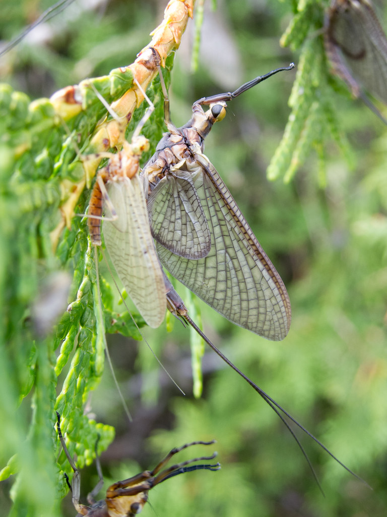
Ephemeral insects

With Ring-billed Gull feather
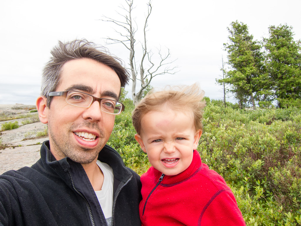
A Lonán and Daddy selfie
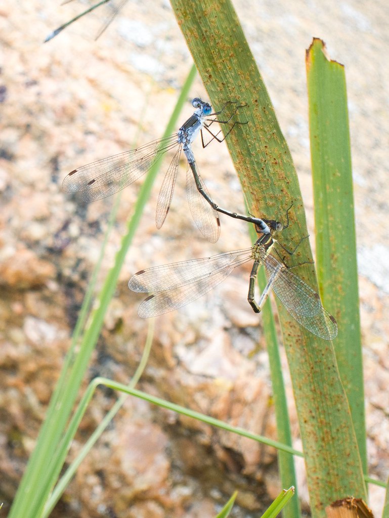
On the cattail

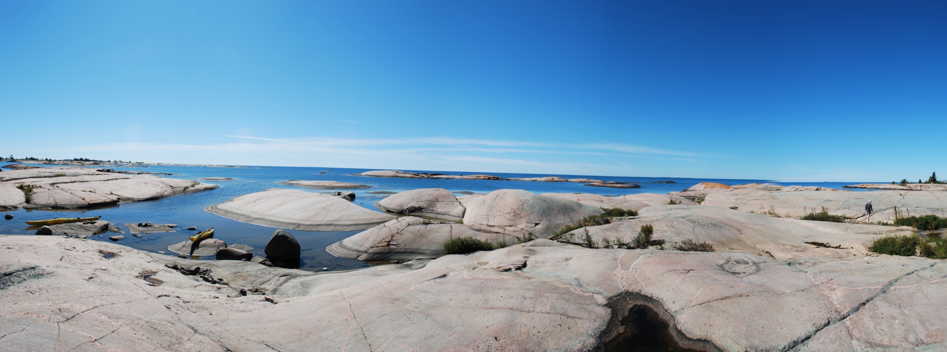
Shimmer at Dusk
Topographic Map of Carling, ON, Canada
Find elevation by address:

Places in Carling, ON, Canada:
Places near Carling, ON, Canada:
34 Jolliffe Ln, Carling, ON P0G, Canada
94 Remy Bay Rd, Carling, ON P0G, Canada
Snug Harbour Rd, Carling, ON P0G, Canada
Dillon Cove Marina & Resort
22 Beech Ave, Carling, ON P0G, Canada
P0g 1g0
69b
69a
Trans-Canada Hwy, The Archipelago, ON P0G, Canada
ON-A, Byng Inlet, ON P0G 1B0, Canada
Parry Island First Nation
51 Island View Dr, Carling, ON P0G, Canada
The Archipelago
Carling
Trans-Canada Hwy, Parry Sound, Unorganized, Centre Part, ON P0G, Canada
P0h 1y0
Georgian Bay
Parry Sound, Unorganized, Centre Part
Trans-Canada Hwy, Killarney, ON P0G, Canada
French River
Recent Searches:
- Elevation of Corso Fratelli Cairoli, 35, Macerata MC, Italy
- Elevation of Tallevast Rd, Sarasota, FL, USA
- Elevation of 4th St E, Sonoma, CA, USA
- Elevation of Black Hollow Rd, Pennsdale, PA, USA
- Elevation of Oakland Ave, Williamsport, PA, USA
- Elevation of Pedrógão Grande, Portugal
- Elevation of Klee Dr, Martinsburg, WV, USA
- Elevation of Via Roma, Pieranica CR, Italy
- Elevation of Tavkvetili Mountain, Georgia
- Elevation of Hartfords Bluff Cir, Mt Pleasant, SC, USA