Elevation map of Georgian Bay, Ontario, Canada
Location: Canada > Ontario > Bruce County > Northern Bruce Peninsula >
Longitude: -81.113180
Latitude: 45.4061848
Elevation: 96m / 315feet
Barometric Pressure: 100KPa
Elevation Map:
Satellite Map:
Related Photos:
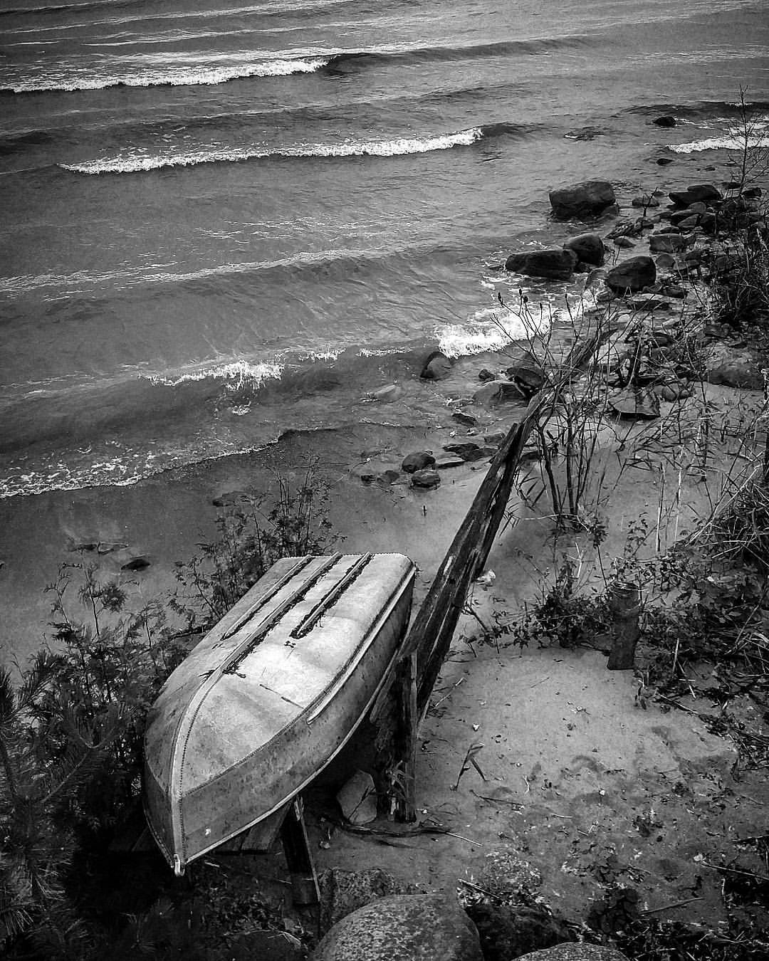
"Shored Up" #GeorgianBay #southgeorgianbay #blackandwhite #bw_society #bw_lover #bw #bwofinstagram #bwoftheday #waves #shoreline #lake #boat #tinboat #sand #fence #shored #shoredup #nature #naturevsman #instanature #instawater #instanaturelover #rocks #
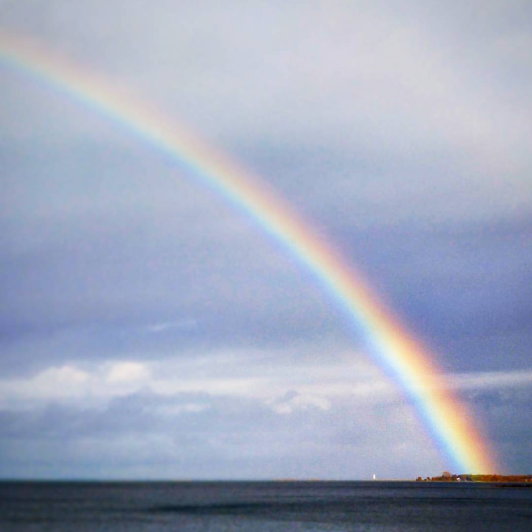
"Arch Of The Rainbow" #rainbow #rainbowsofinstagram #GeorgianBay #southgeorgianbay #lighthouse #lake #potofgold #magical #scenic #nature #instanature #instanaturelover #clouds #afterthestorm #sunbreakingout #horizon #Collingwood #TheBlueMountains #landsc
Topographic Map of Georgian Bay, Ontario, Canada
Find elevation by address:

Places near Georgian Bay, Ontario, Canada:
Northern Bruce Peninsula
1012 Dyers Bay Rd
Dyer's Bay
Dyers Bay Rd, Miller Lake, ON N0H 1Z0, Canada
The Grotto
ON-6, Miller Lake, ON N0H 1Z0, Canada
Miller Lake
21 Cardinal Cres
111 Pedwell Point Dr
Carling
Manitoulin, Unorganized, Mainland
ON-A, Byng Inlet, ON P0G 1B0, Canada
Pinch Island
The Crack Trailhead
George Lake
Killarney
Killarney
Killarney
Killarney
ON-, Killarney, ON P0P, Canada
Recent Searches:
- Elevation of Holloway Ave, San Francisco, CA, USA
- Elevation of Norfolk, NY, USA
- Elevation of - San Marcos Pass Rd, Santa Barbara, CA, USA
- Elevation of th Pl SE, Issaquah, WA, USA
- Elevation of 82- D Rd, Captain Cook, HI, USA
- Elevation of Harlow CM20 2PR, UK
- Elevation of Shenyang Agricultural University, Dong Ling Lu, Shen He Qu, Shen Yang Shi, Liao Ning Sheng, China
- Elevation of Alpha Dr, Melbourne, FL, USA
- Elevation of Hiroshima University, 1-chōme-3-2 Kagamiyama, Higashihiroshima, Hiroshima -, Japan
- Elevation of Bernina Dr, Lake Arrowhead, CA, USA