Elevation of Carl Pl, Corning, IA, USA
Location: United States > Iowa >
Longitude: -94.664997
Latitude: 41.1194315
Elevation: 401m / 1316feet
Barometric Pressure: 97KPa
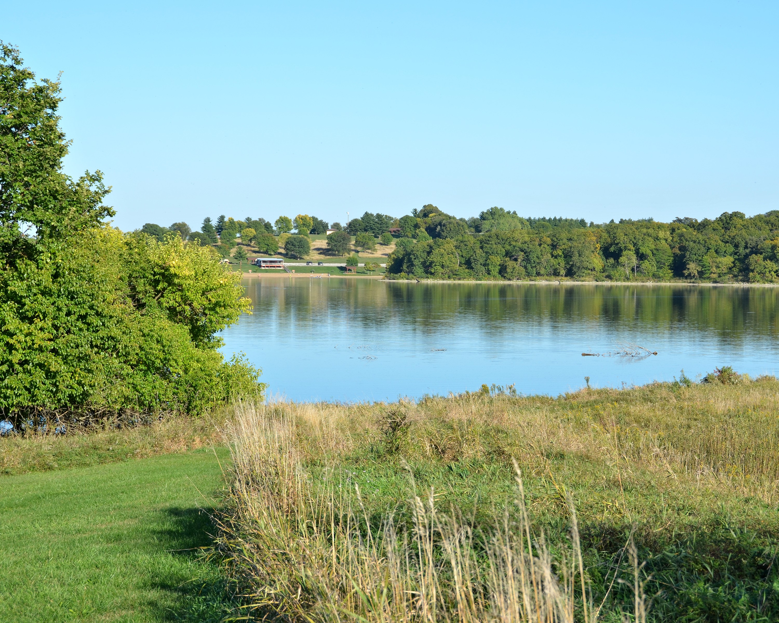
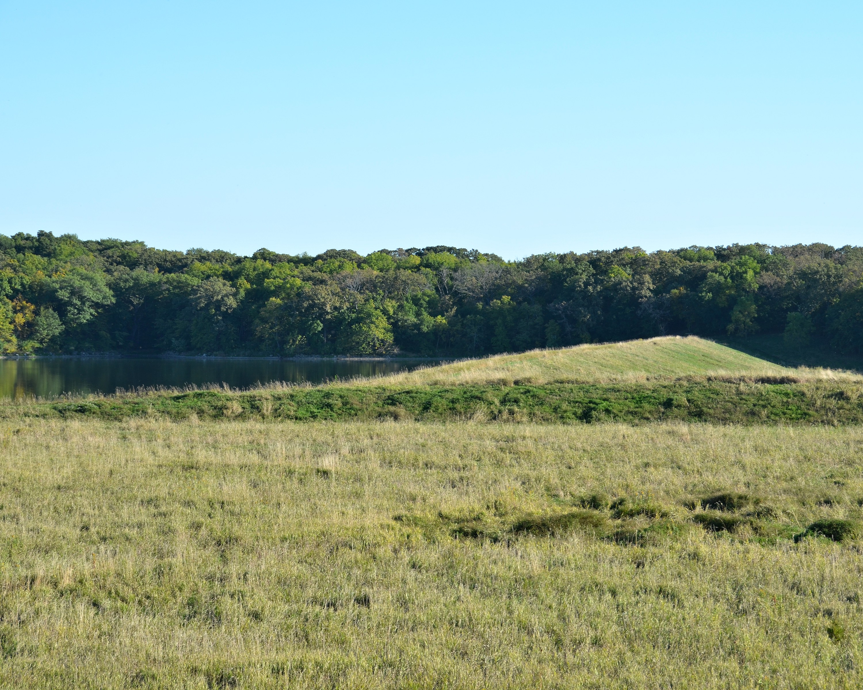
Elevation Map:
Satellite Map:
Related Photos:
100113-997F
RI038143.JPG
RI038146.JPG
That's a stretch . . .
100113-000F
100113-999F

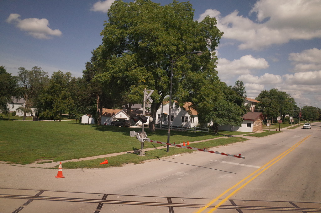
Municipal Utility Plant - Corning, IA
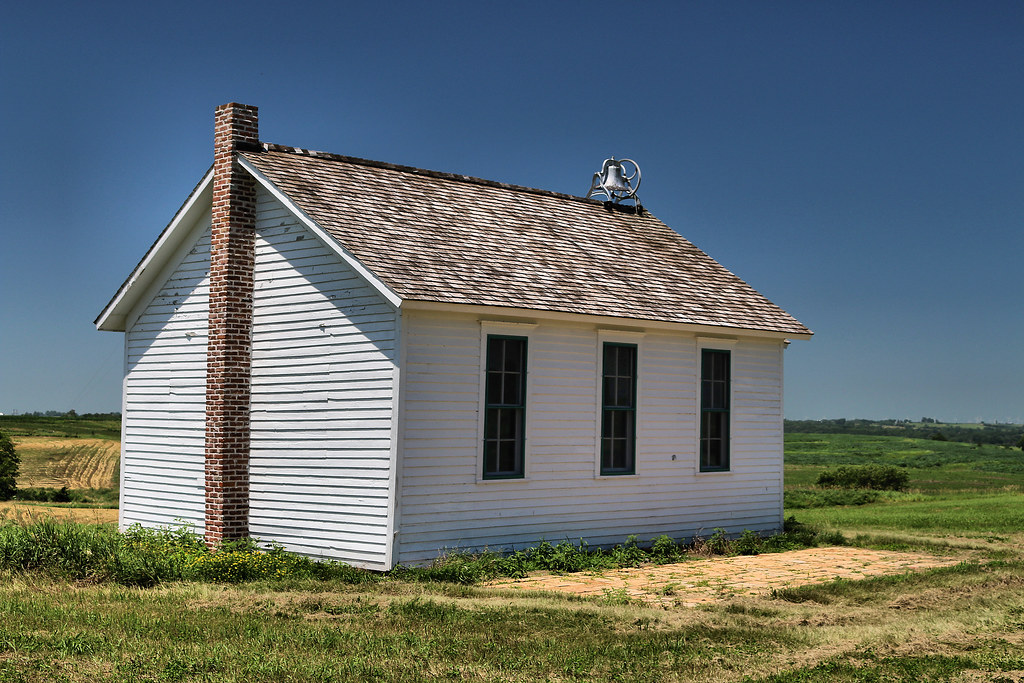
Icaria School - rural Corning, IA

Icaria School - rural Corning, IA

Refectory, French Icarian Village - rural Corning, IA
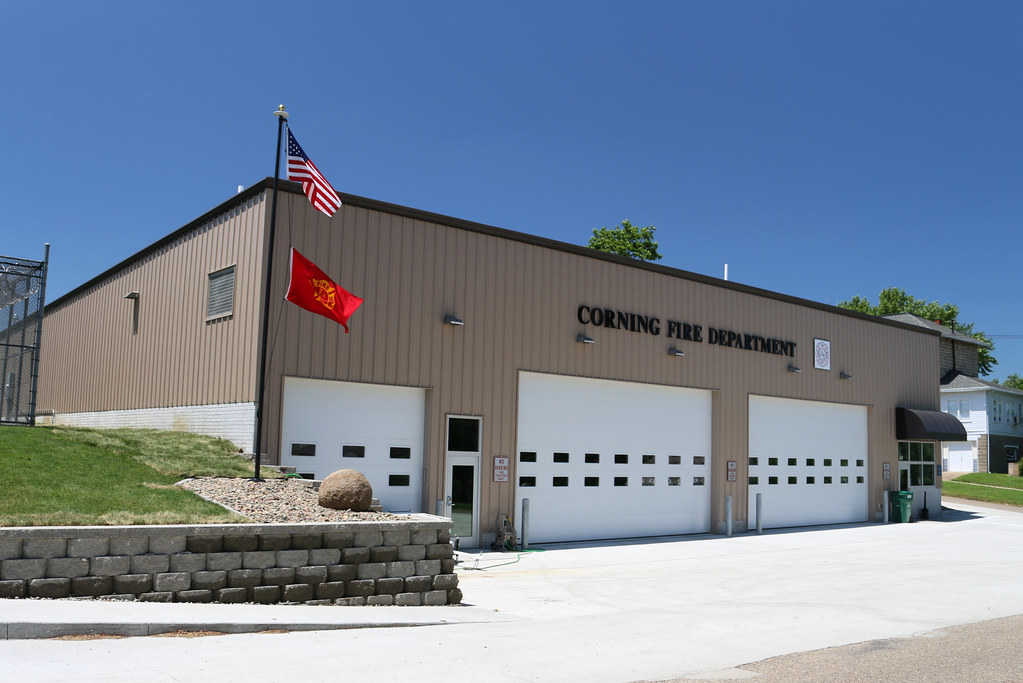
Fire Station - Corning, IA
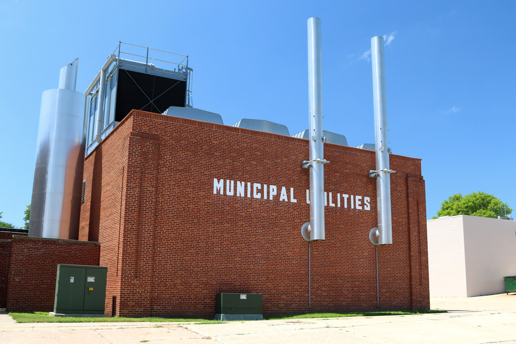
Municipal Utility Plant - Corning, IA

Miller Chevrolet - Corning, IA
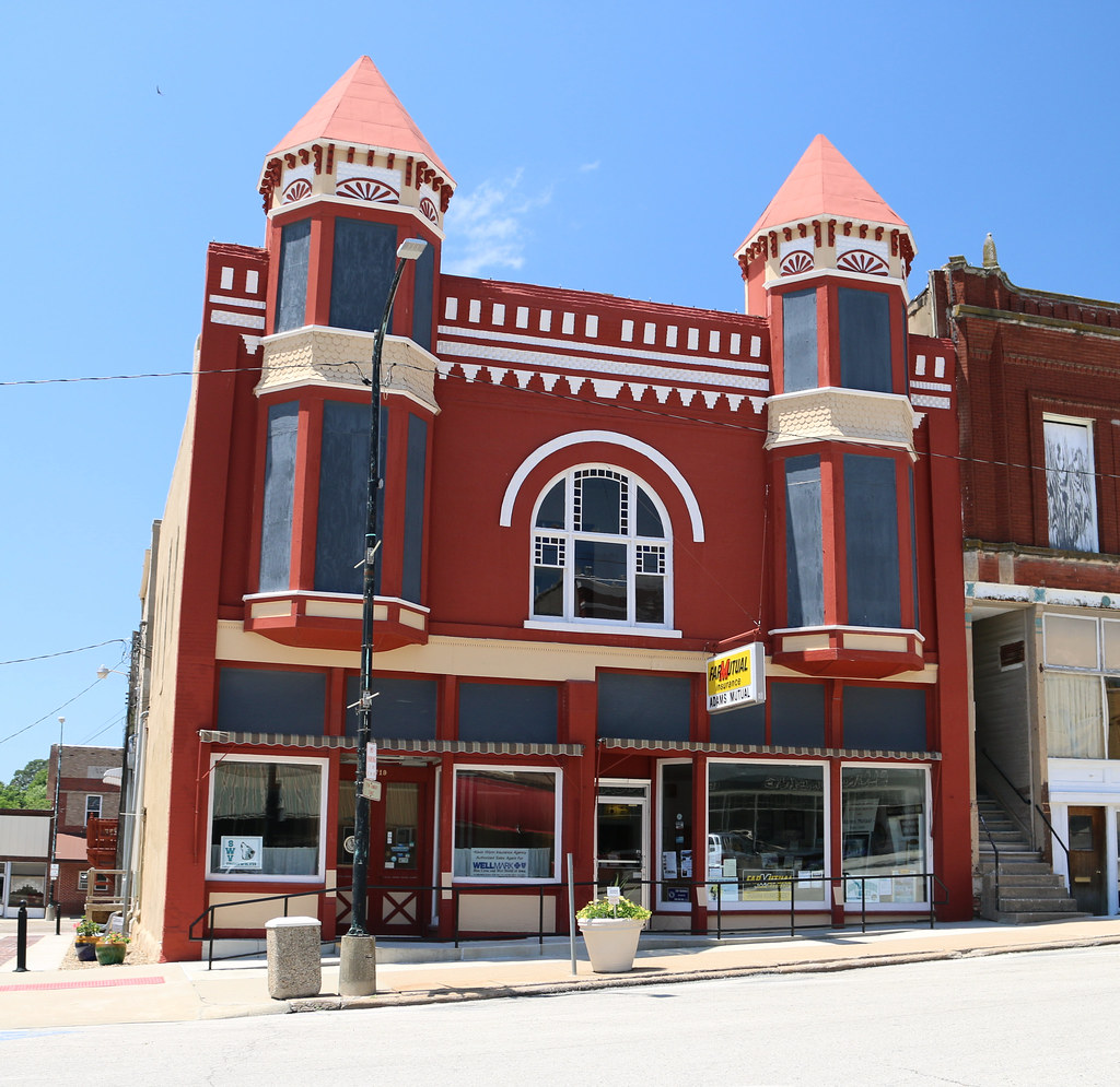
Adams Mutual Insurance Assn. Building - Corning, IA
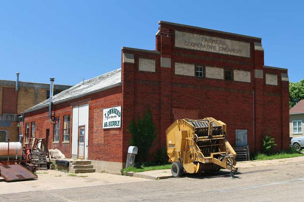
Farmers Cooperative Creamery - Corning, IA
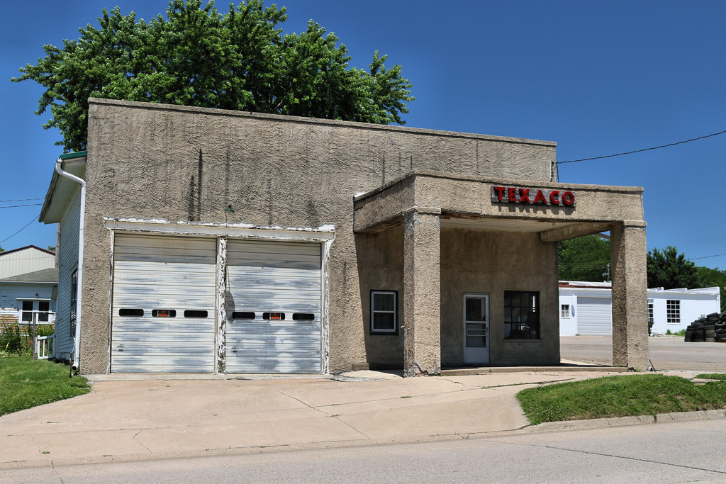
Texaco Station - Corning, IA

Theravadan Buddhist nuns on the Climate Train
RI038151.JPG
RI038150.JPG
RI038149.JPG
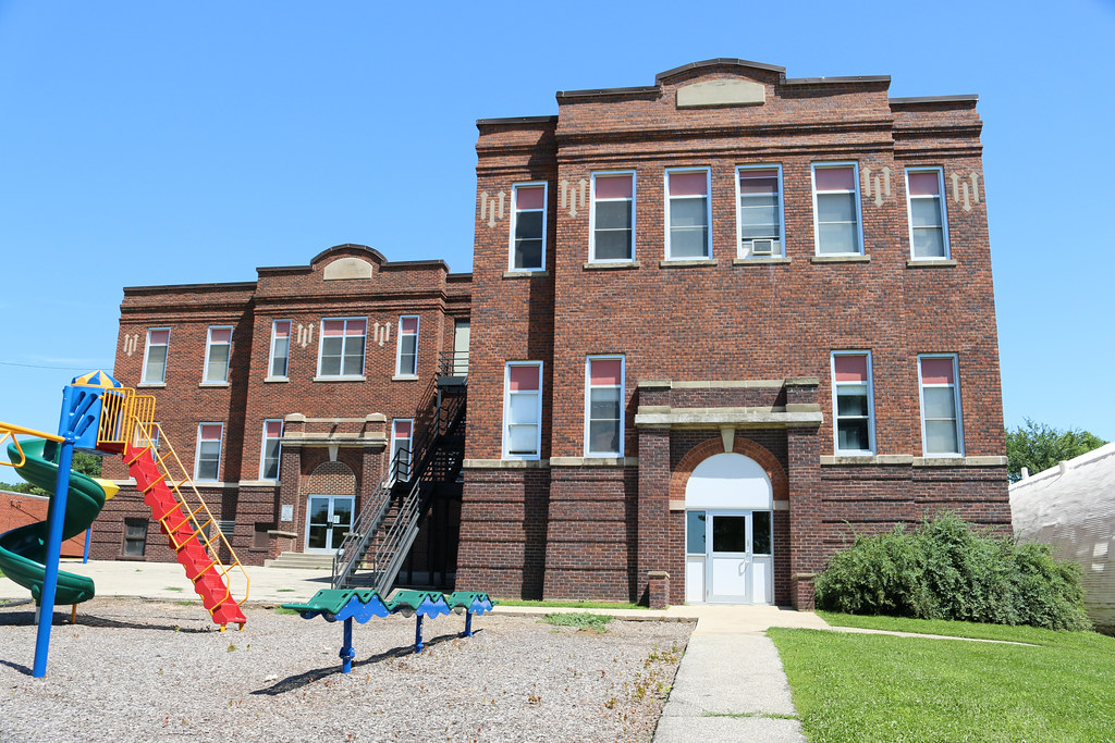
Public School - Prescott, IA
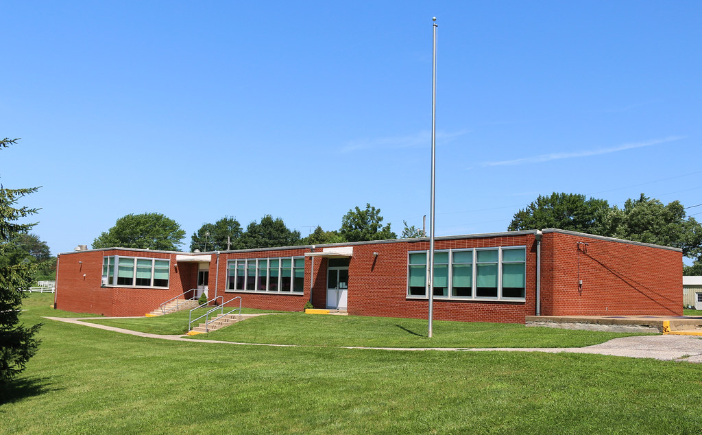
Public School - Prescott, IA
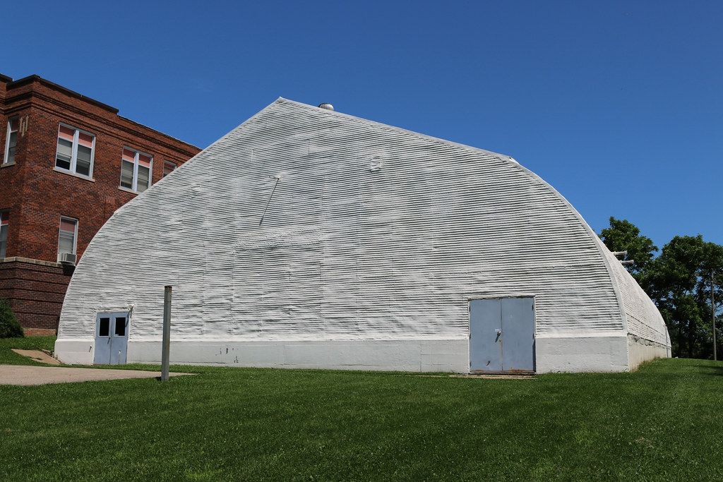
Public School Gymnasium - Prescott, IA
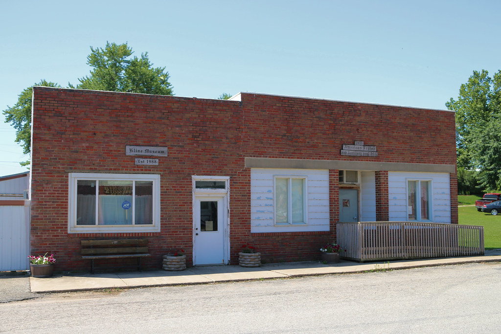
Kline Museum & American Legion Post 544 - Prescott, IA
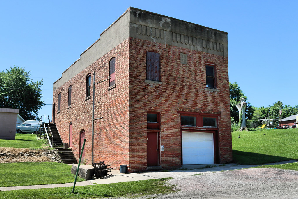
I.O.O.F. Hall - Prescott, IA
Topographic Map of Carl Pl, Corning, IA, USA
Find elevation by address:

Places near Carl Pl, Corning, IA, USA:
Adams County
Quincy
Corning
Commercial St, Corning, IA, USA
Monroe Avenue Ext'd
Adair County
IA-, Corning, IA, USA
W Ohio St, Lenox, IA, USA
Lenox
205 S Main St
Greenfield
Greenfield
Public Square, Greenfield, IA, USA
IA-, Corning, IA, USA
1391 190th St
Holt
1200 W Adams St
New York Ave, Creston, IA, USA
Platte
720 N Oak St
Recent Searches:
- Elevation of Tenjo, Cundinamarca, Colombia
- Elevation of Côte-des-Neiges, Montreal, QC H4A 3J6, Canada
- Elevation of Bobcat Dr, Helena, MT, USA
- Elevation of Zu den Ihlowbergen, Althüttendorf, Germany
- Elevation of Badaber, Peshawar, Khyber Pakhtunkhwa, Pakistan
- Elevation of SE Heron Loop, Lincoln City, OR, USA
- Elevation of Slanický ostrov, 01 Námestovo, Slovakia
- Elevation of Spaceport America, Co Rd A, Truth or Consequences, NM, USA
- Elevation of Warwick, RI, USA
- Elevation of Fern Rd, Whitmore, CA, USA