Elevation of Caribou Island Rd, Pictou, NS B0K 1H0, Canada
Location: Canada > Nova Scotia > Pictou County > Pictou, Subd. A > Caribou Island >
Longitude: -62.711569
Latitude: 45.75246
Elevation: 5m / 16feet
Barometric Pressure: 101KPa
Elevation Map:
Satellite Map:
Related Photos:

Pond Hockey

River in Autumn

River June 3

East River

Ducks in Formation

Hooded Mergansers
Harbour Light Trailer Court
they're trying to trace the smell
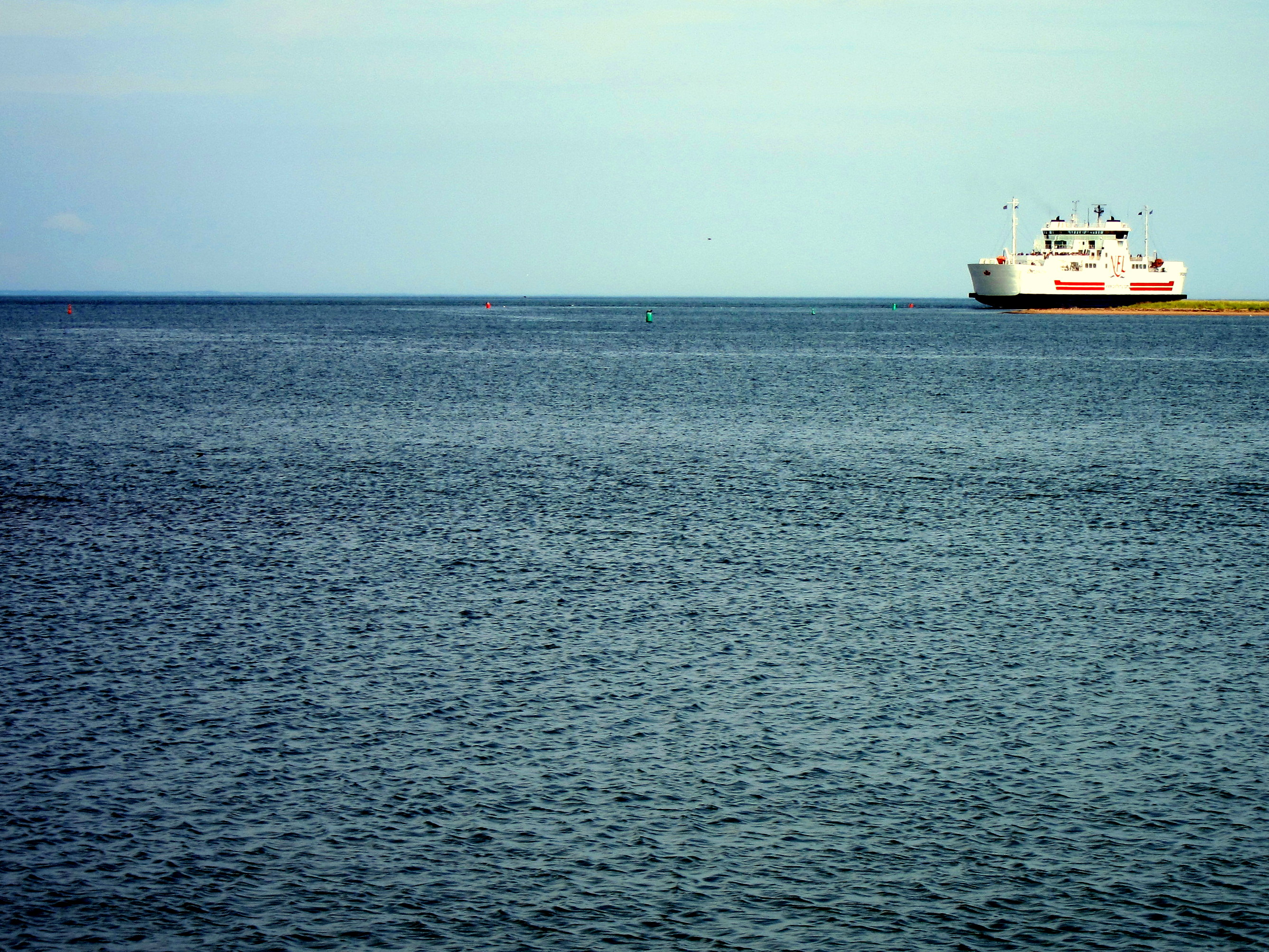
Caribou Ferry Terminal
MV Confederation
“I spent uncounted hours sitting at the bow looking at the water and the sky, studying each wave, different from the last, seeing how it caught the light, the air, the wind; watching patterns, the sweep of it all, and letting it take me. The sea.” ~Gary
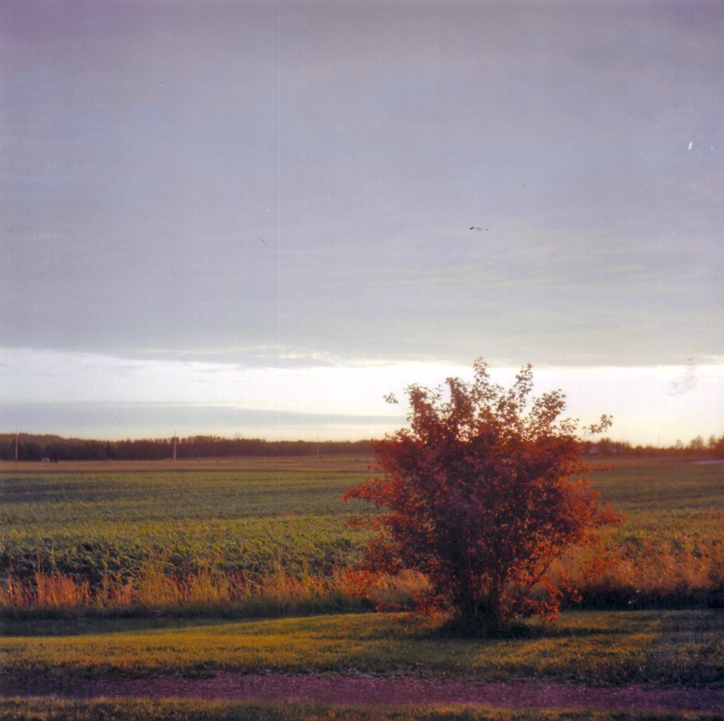
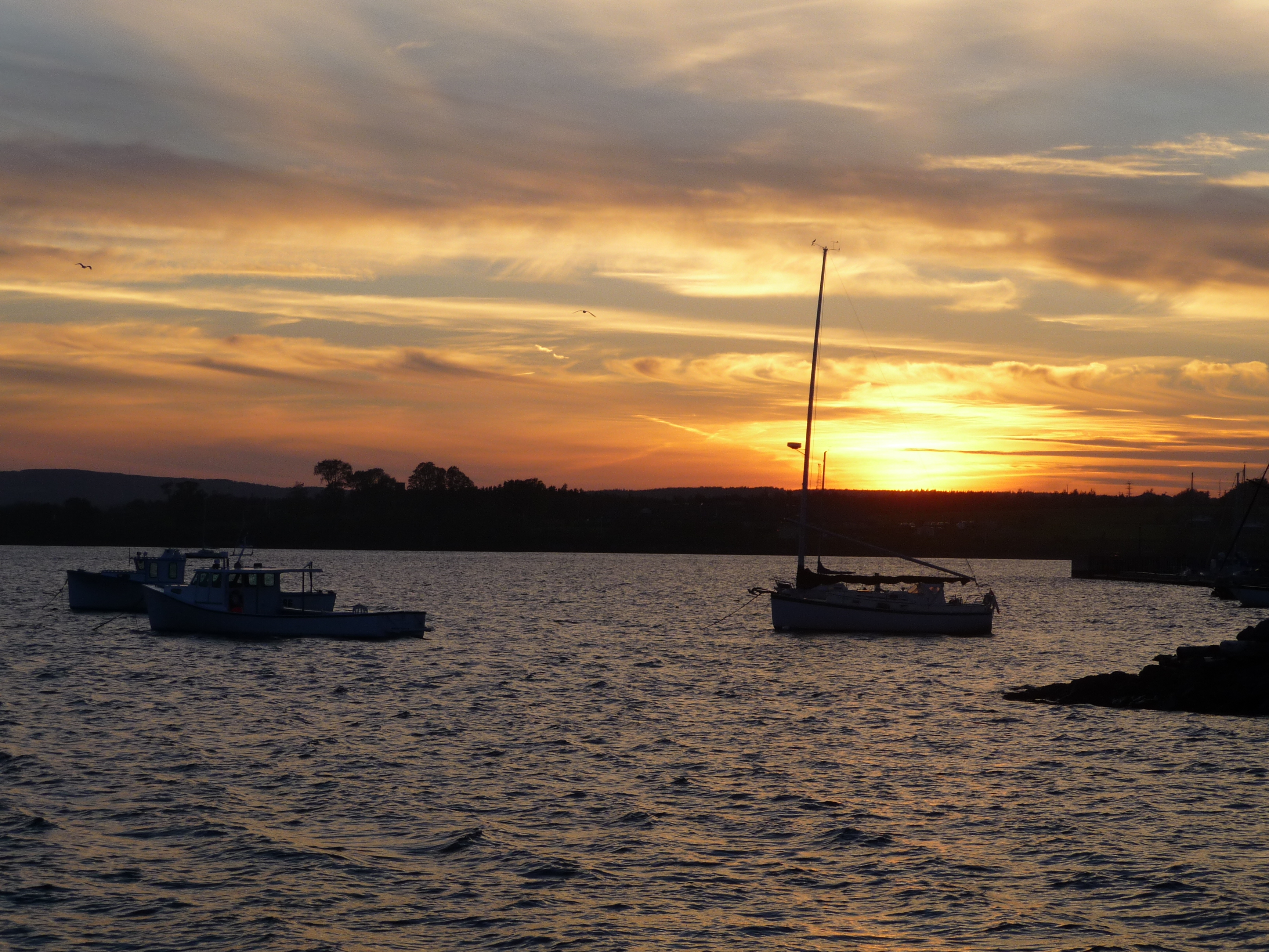
Open Field Sunset

Toney River Sunset 2
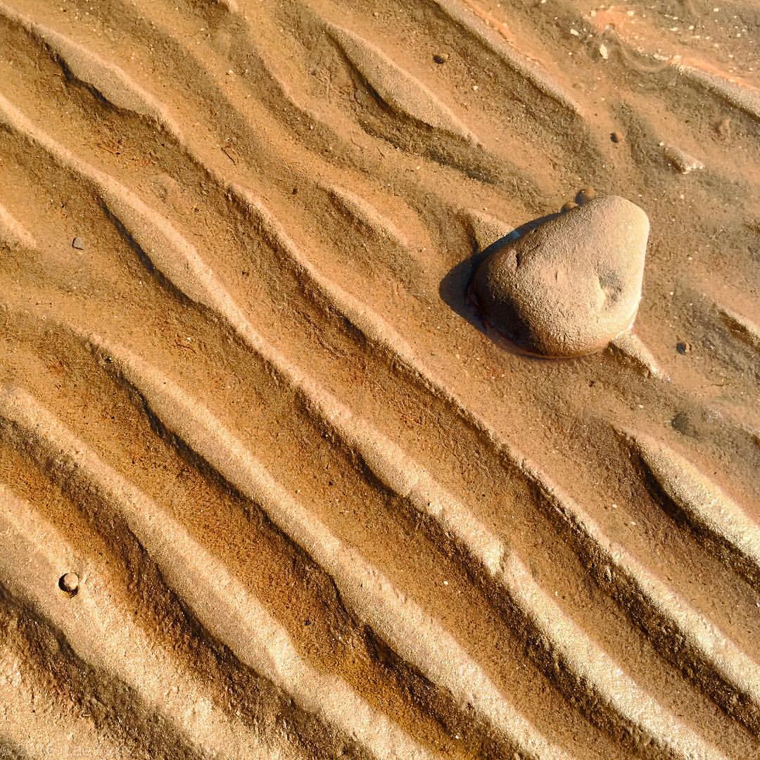
#bobbiandleesphotoadventures #sand #rock at low tide on #caribouisland #novascotia #fujixt1
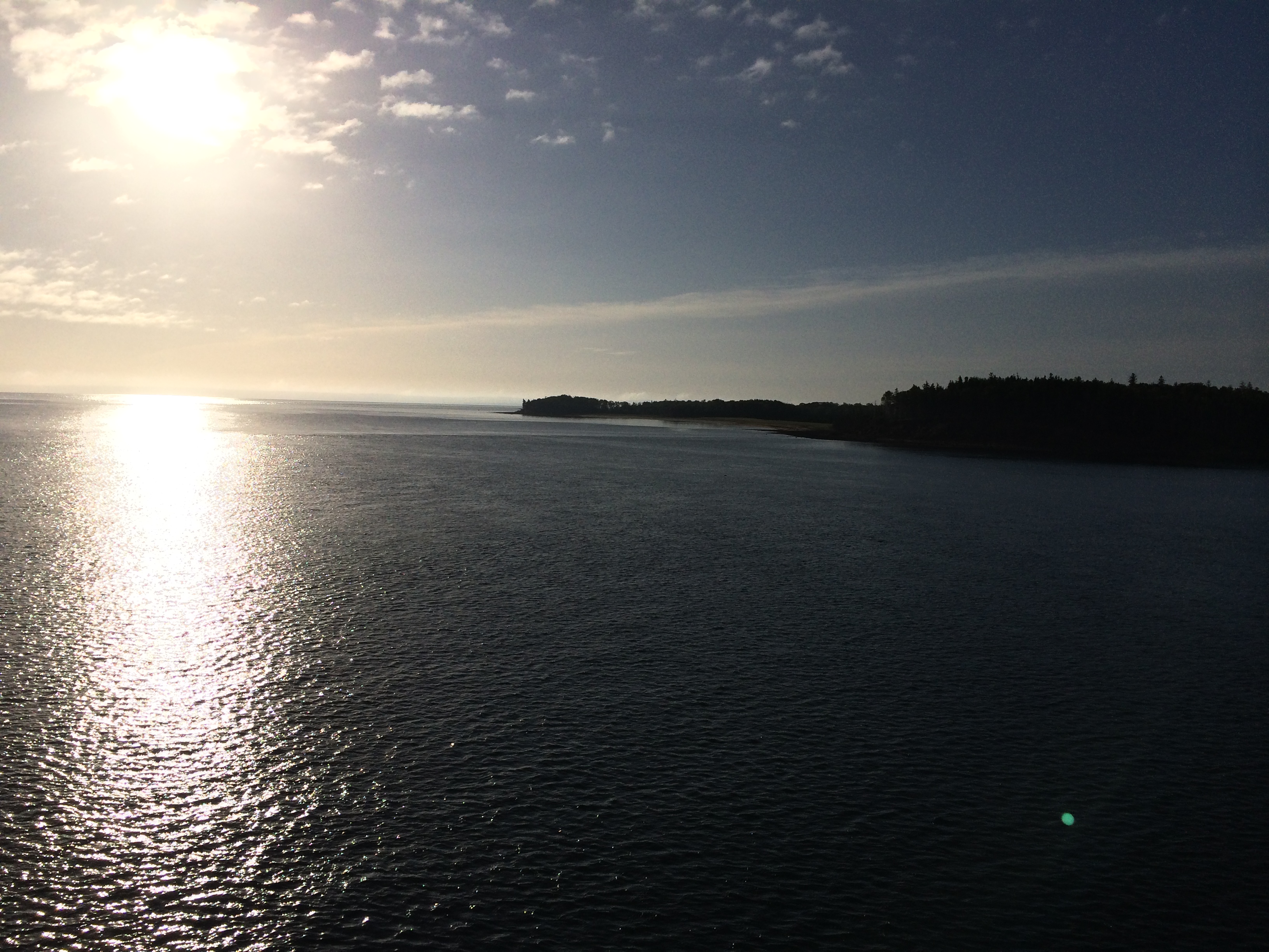
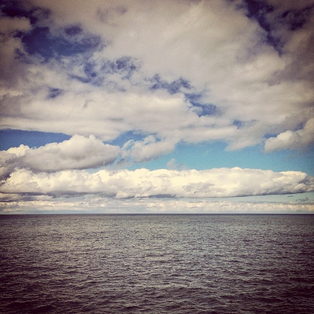
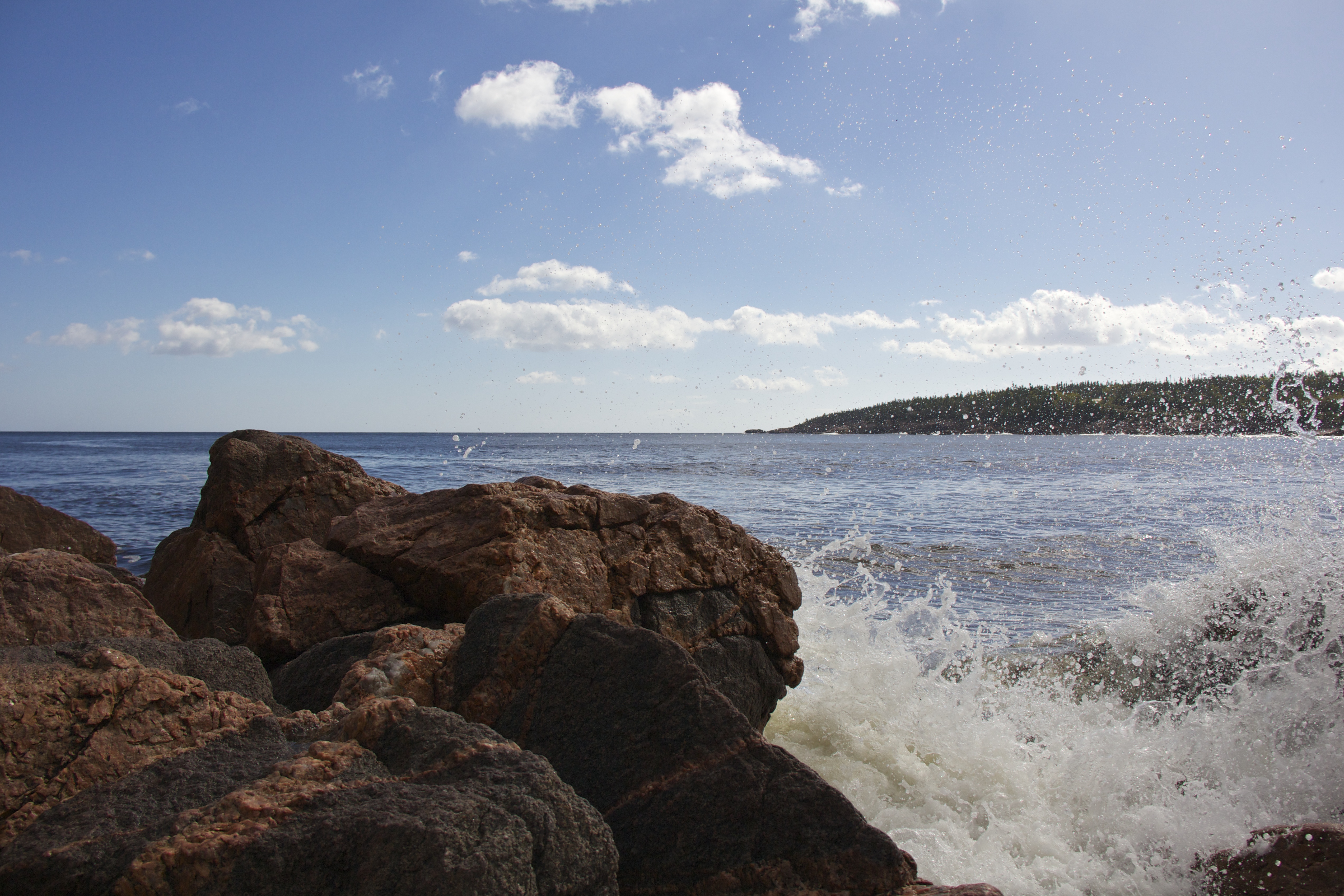
Northumberland Strait
Black Brook Beach

Rain Swollen
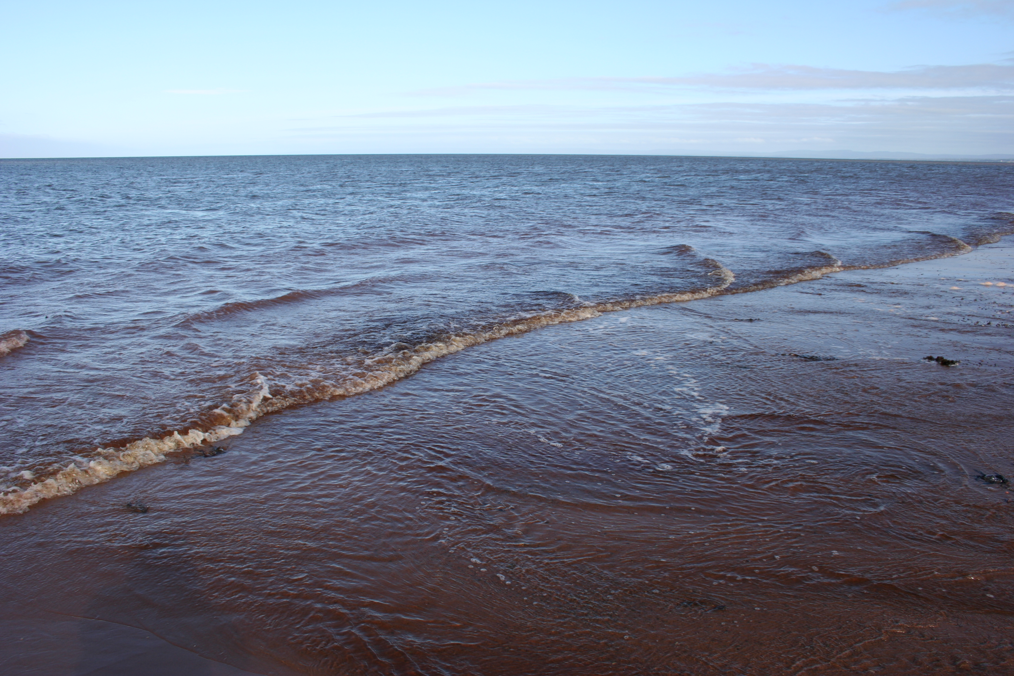
Northumberland Strait

Mark and Sarah

Hector Heritage Quay, Pictou, Nova Scotia - Kite Aerial Photography (KAP)
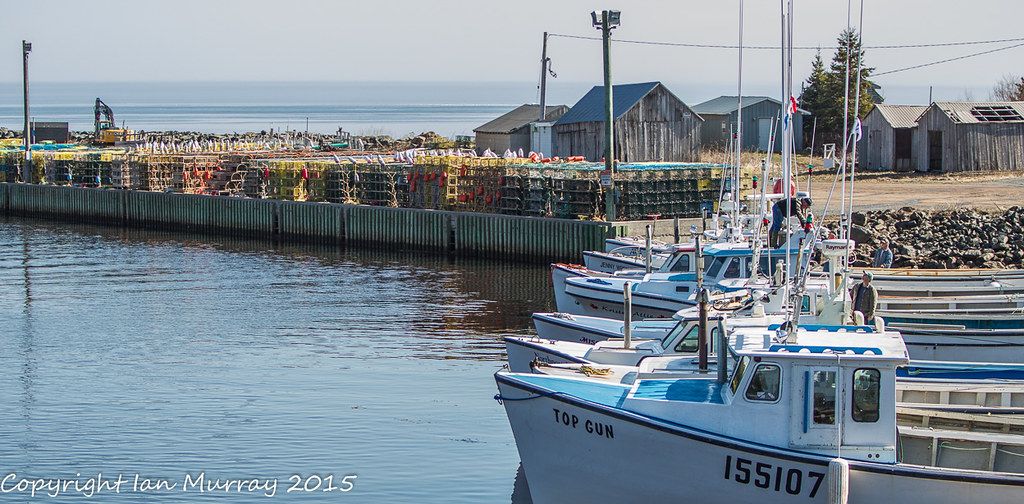
IMGL4567 Toney River Lobster Boats
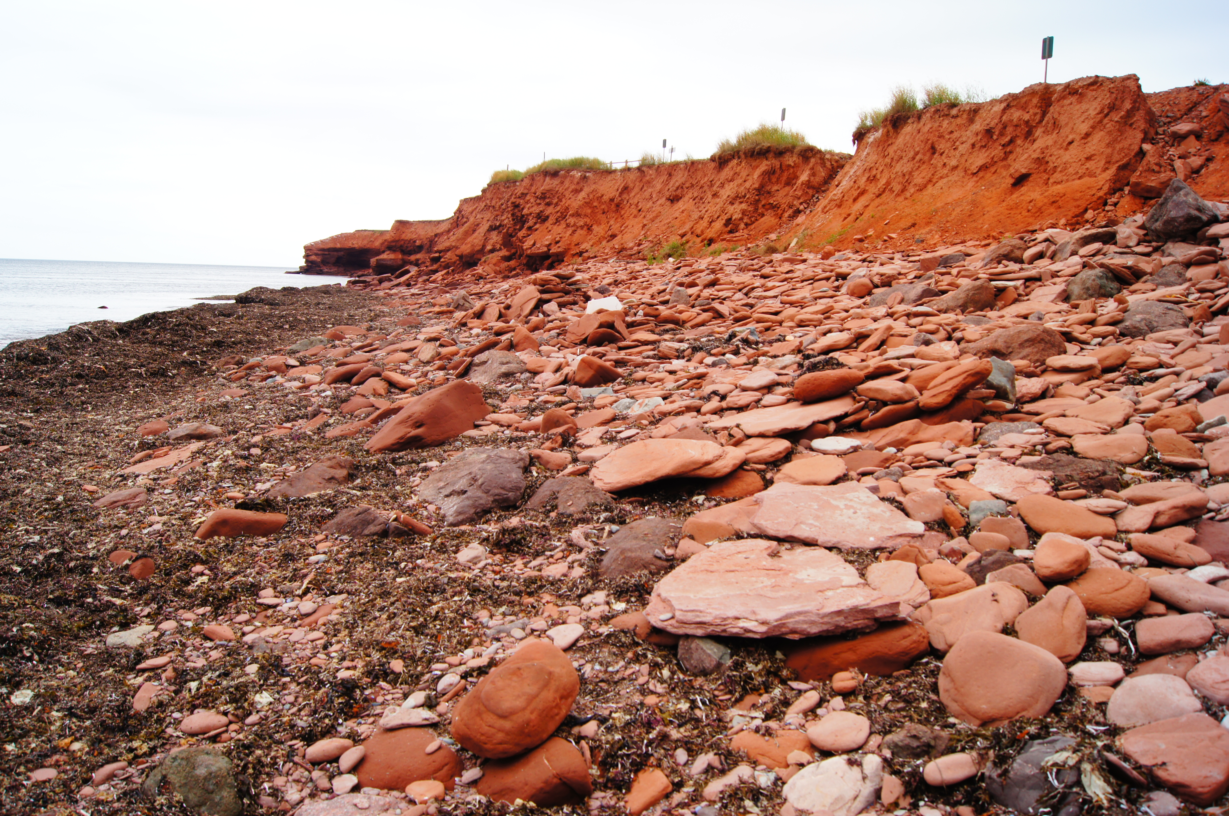
PEI Rocks
Doug and Kaden Trip - Summer 2013 - 011 of 162 - The Nova Scotia Leg
Toney River Sunset
Rundreise USA-Canada 11-39-54 Uhr 26. September 2009.jpg

Toney River

Doug and Kaden Trip - Summer 2013 - 014 of 162 - The Nova Scotia Leg
Topographic Map of Caribou Island Rd, Pictou, NS B0K 1H0, Canada
Find elevation by address:

Places near Caribou Island Rd, Pictou, NS B0K 1H0, Canada:
Caribou Island
1498 Caribou Island Rd
997 Three Brooks Rd
995 Three Brooks Rd
914 Three Brooks Rd
7 Killickdown Ln
Bay View
72 Cedar St
Braeshore
3 Brooks Rd, Pictou, NS B0K 1H0, Canada
Pictou
57 Denoon St
28 5 Trees Ln
B0k 1h0
5915 Pictou Landing Rd
Pictou Landing Rd, Trenton, NS B0K 1X0, Canada
94 Shady Ln
17 Impala Rd
NS-, Pictou, NS B0K 1H0, Canada
Scotch Hill Rd, Pictou, NS B0K 1H0, Canada
Recent Searches:
- Elevation of Kambingan Sa Pansol Atbp., Purok 7 Pansol, Candaba, Pampanga, Philippines
- Elevation of Pinewood Dr, New Bern, NC, USA
- Elevation of Mountain View, CA, USA
- Elevation of Foligno, Province of Perugia, Italy
- Elevation of Blauwestad, Netherlands
- Elevation of Bella Terra Blvd, Estero, FL, USA
- Elevation of Estates Loop, Priest River, ID, USA
- Elevation of Woodland Oak Pl, Thousand Oaks, CA, USA
- Elevation of Brownsdale Rd, Renfrew, PA, USA
- Elevation of Corcoran Ln, Suffolk, VA, USA