Elevation of Braeshore, NS, Canada
Location: Canada > Nova Scotia > Pictou County > Pictou, Subd. A >
Longitude: -62.657434
Latitude: 45.7066381
Elevation: 12m / 39feet
Barometric Pressure: 101KPa
Elevation Map:
Satellite Map:
Related Photos:

they're trying to trace the smell

Pictou, Nova Scotia

New Glasgow, Nova Scotia

Blue and Green

New Glasgow, Nova Scotia

Pictou, Nova Scotia

New Glasgow, Nova Scotia

View of New Glasgow, Nova Scotia

View of New Glasgow, Nova Scotia

The flash

Our view this evening. #novascotia #2birdsinavan #vanliving #womenwhotravel #homeiswhereyoutakeit #vanlife #travel #canada #landscapephotography #homeiswhereyouparkit

Harbour Light Trailer Court

5IMG054 Stage Set?

Repost!!! For a good reason!

5IMG0576 Two Pictou Landmarks

Swimming deer

Munroe's Island, Nova Scotia

The Beach

Powels Point Park Beach

Hector Heritage Quay, Pictou, Nova Scotia - Kite Aerial Photography (KAP)

MV Confederation
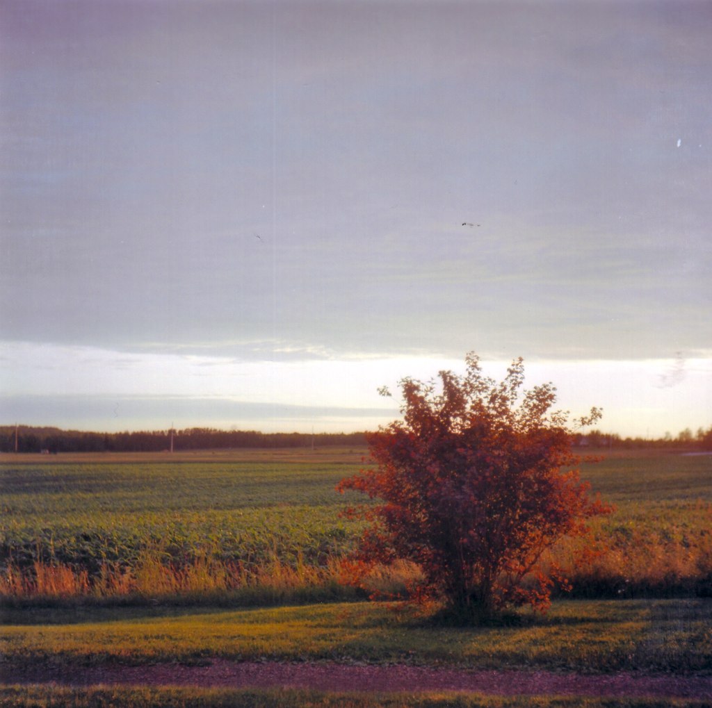
Open Field Sunset

East River

Caribou Ferry Terminal

The Empty Pond

Trenton Lighthouse

East River, New Glasgow

Hello again, it's been a while
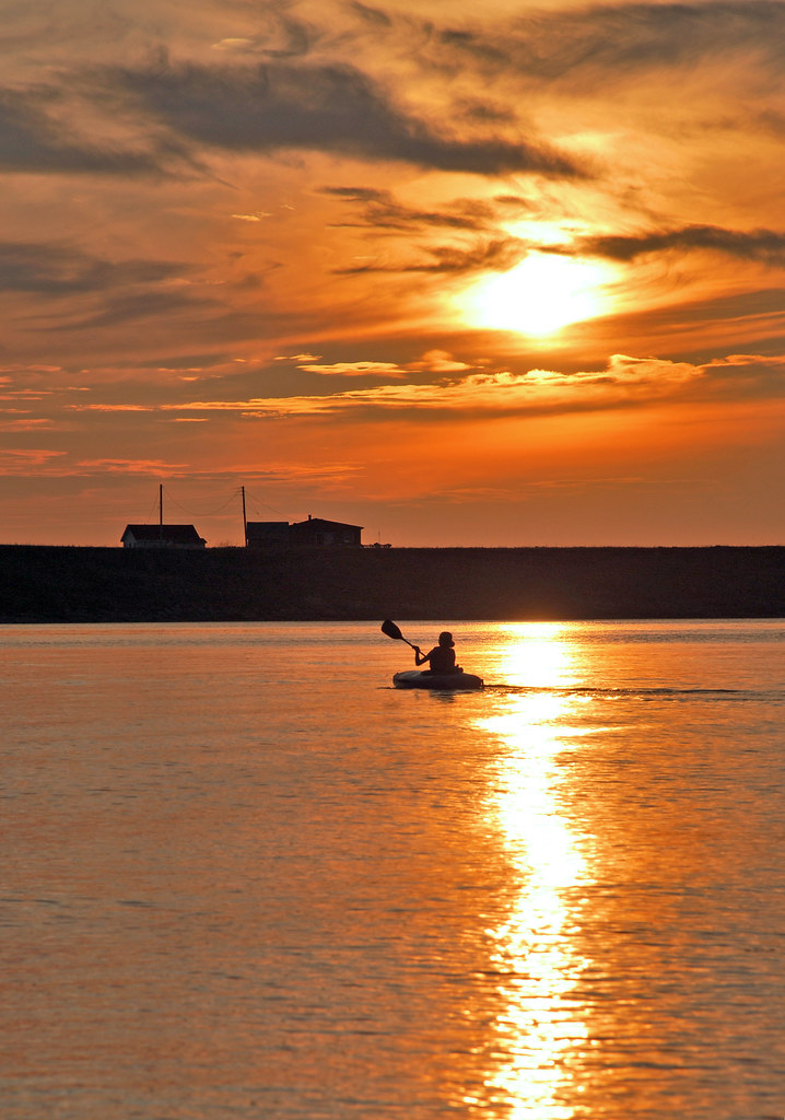
Toney River Sunset

Toney River

The Beach

How strange that Nature does not knock, and yet does not intrude!
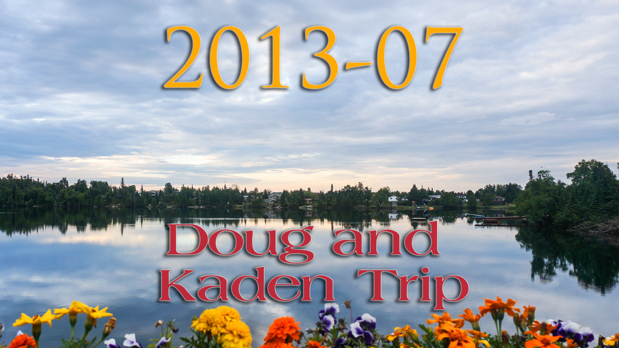
Doug and Kaden Trip - Summer 2013 - 000 of 162 - Album Art
Topographic Map of Braeshore, NS, Canada
Find elevation by address:

Places near Braeshore, NS, Canada:
28 5 Trees Ln
3 Brooks Rd, Pictou, NS B0K 1H0, Canada
7 Killickdown Ln
Bay View
5915 Pictou Landing Rd
72 Cedar St
Pictou Landing Rd, Trenton, NS B0K 1X0, Canada
57 Denoon St
391 Chance Harbour Rd
Pictou
995 Three Brooks Rd
997 Three Brooks Rd
Caribou Island Rd, Pictou, NS B0K 1H0, Canada
914 Three Brooks Rd
1498 Caribou Island Rd
17 Impala Rd
Caribou Island
Trenton
81 Duchess Ave, Trenton, NS B0K 1X0, Canada
Granton Abercrombie Rd, Pictou, NS B0K 1H0, Canada
Recent Searches:
- Elevation of Kambingan Sa Pansol Atbp., Purok 7 Pansol, Candaba, Pampanga, Philippines
- Elevation of Pinewood Dr, New Bern, NC, USA
- Elevation of Mountain View, CA, USA
- Elevation of Foligno, Province of Perugia, Italy
- Elevation of Blauwestad, Netherlands
- Elevation of Bella Terra Blvd, Estero, FL, USA
- Elevation of Estates Loop, Priest River, ID, USA
- Elevation of Woodland Oak Pl, Thousand Oaks, CA, USA
- Elevation of Brownsdale Rd, Renfrew, PA, USA
- Elevation of Corcoran Ln, Suffolk, VA, USA