Elevation of Caporale Ln, Chehalis, WA, USA
Location: United States > Washington > Lewis County > Chehalis >
Longitude: -122.88483
Latitude: 46.5729383
Elevation: 146m / 479feet
Barometric Pressure: 100KPa
Elevation Map:
Satellite Map:
Related Photos:

Aerial view of I-5 in Chehalis

Aerial view of I-5 in Chehalis

Snow and rain

The Road from Winlock

The Largest Egg in the World

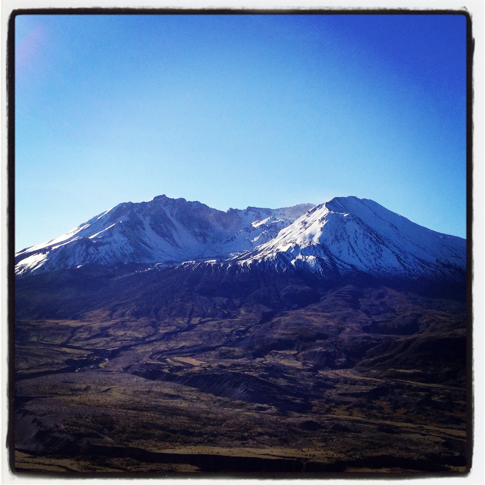
Mount Saint Helen's
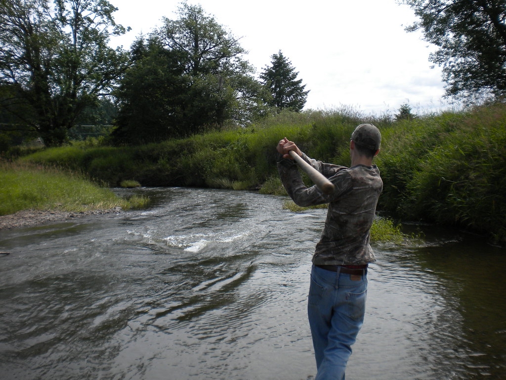
Fly Ball.... er.... Rock....
Beautiful view
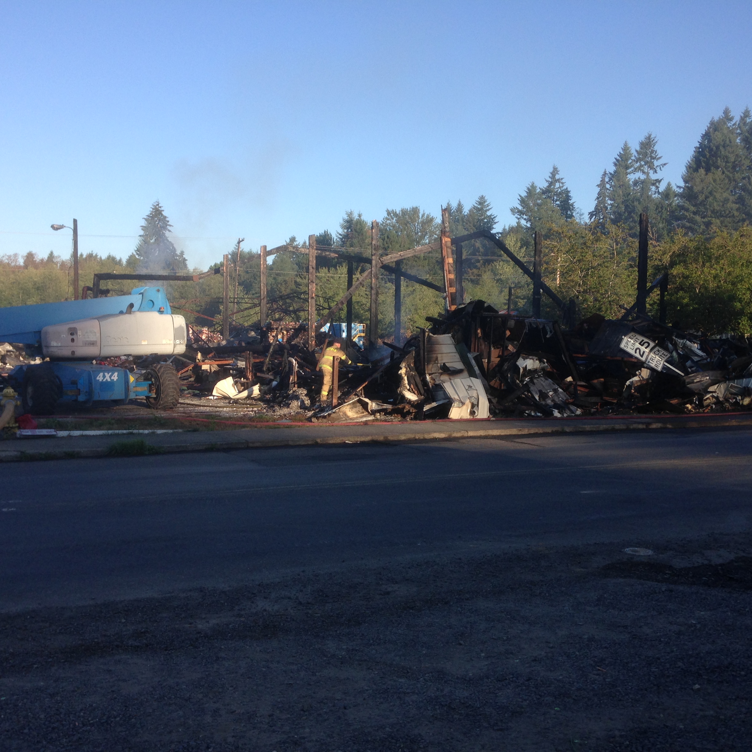
Warehouse wreckage
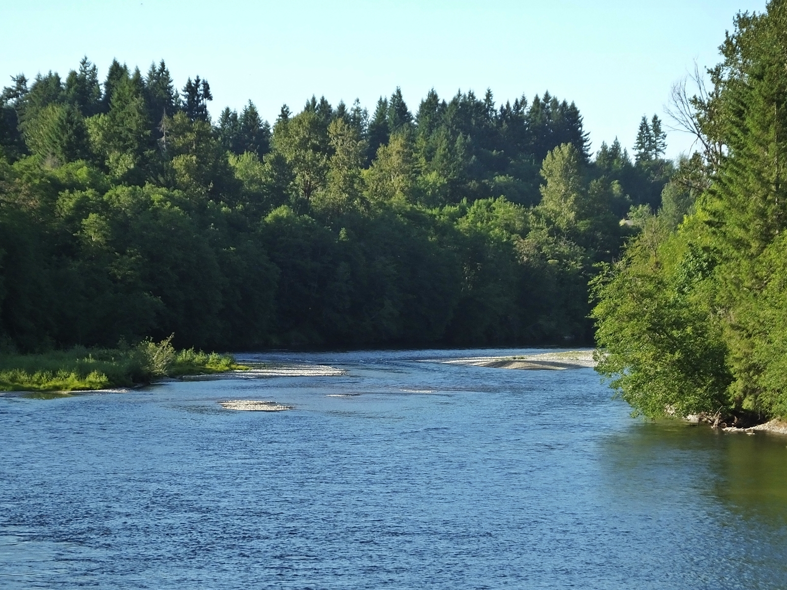
Cowlitz River

Cowlitz River
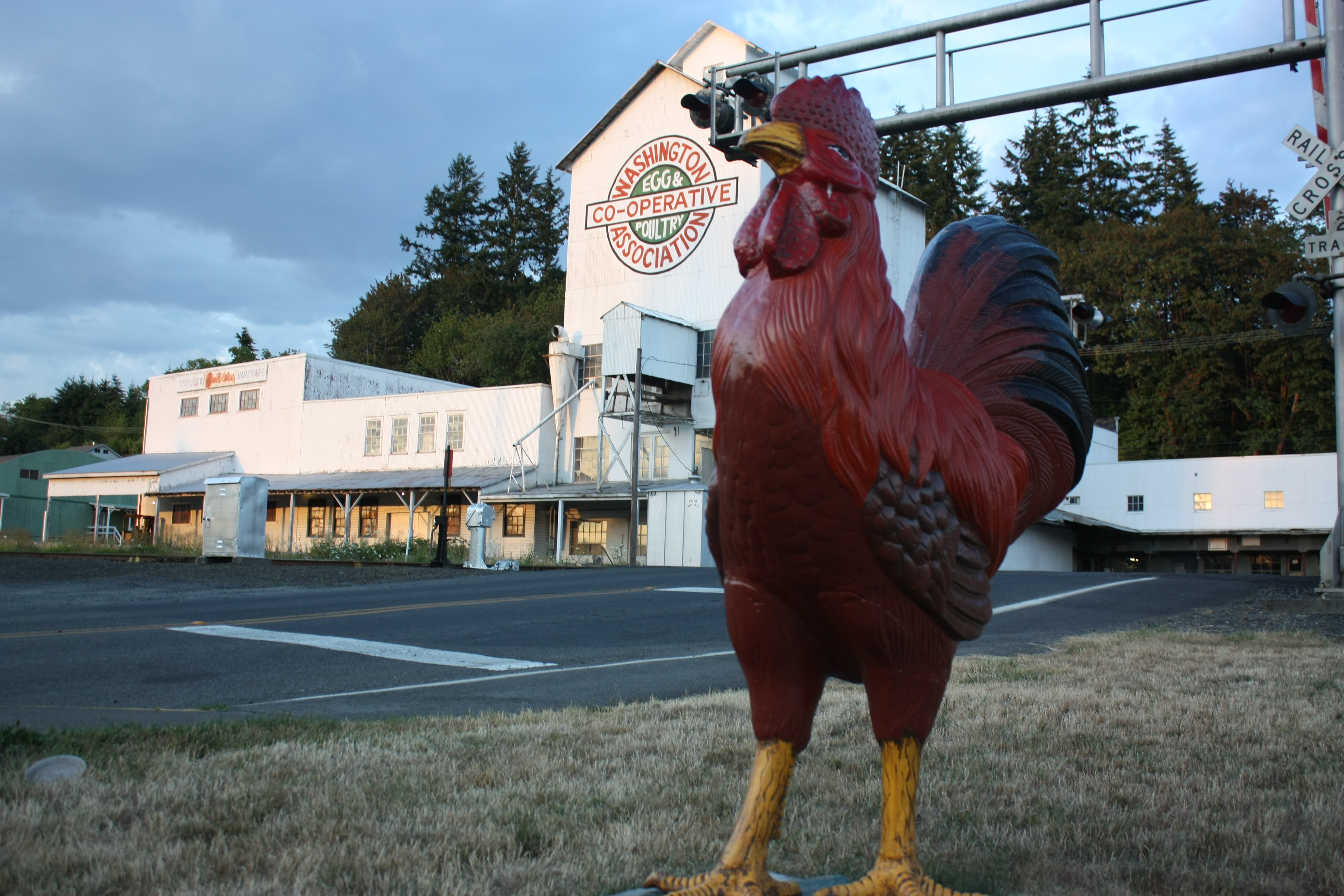
The Rooster Overlord sees all!
Coldwater Lake hike
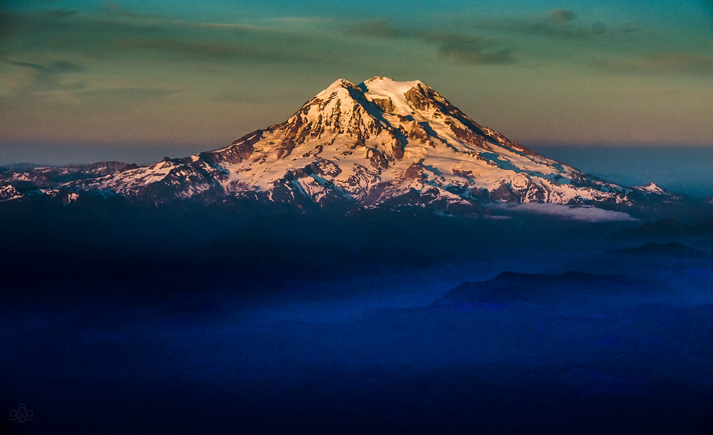
Mt. Rainier: on approach to Seattle

Poplar Tree Plantation
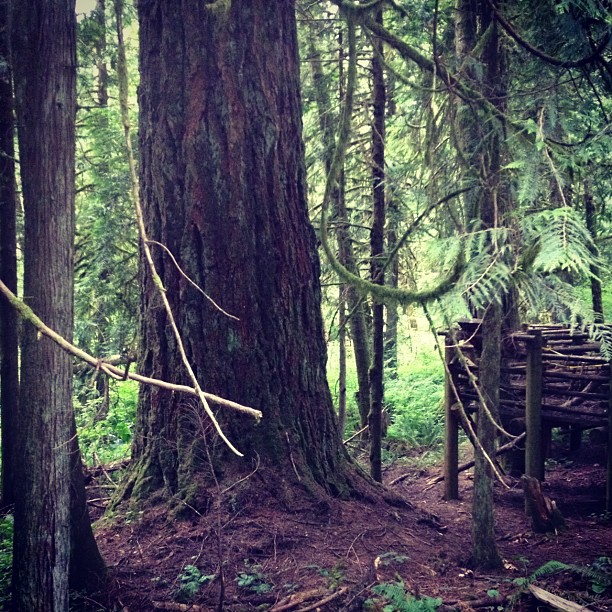
This tree is at least 10 feet in diameter! Nature is incredible.

Photo Jul 31, 12 05 25 PM
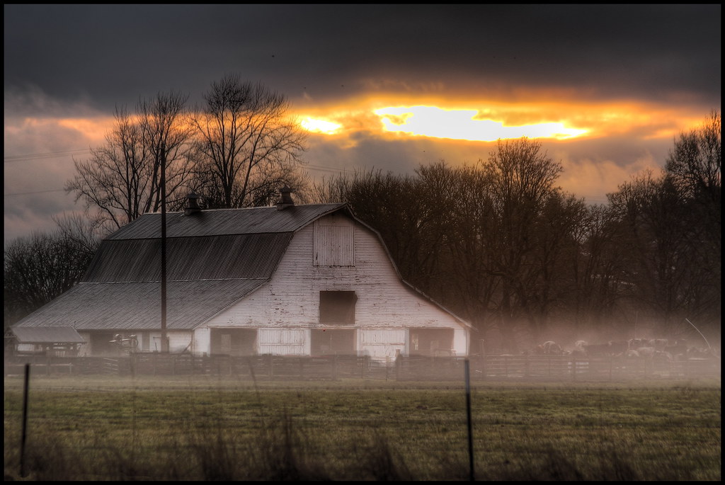
mist and barn
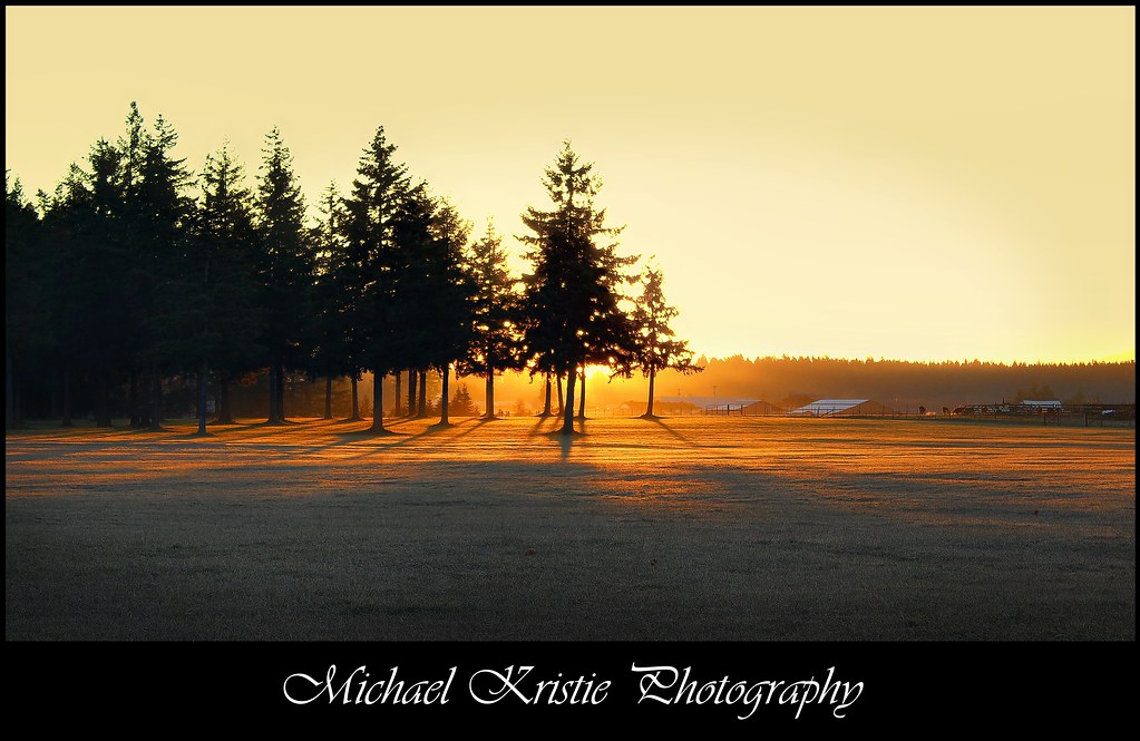
Sunrise Through Trees

Lovely sunset yesterday.

Run thru the forest!

The woods.

Poplar Tree Plantation, Lewis County, Washington, 2015

a poplar place to be
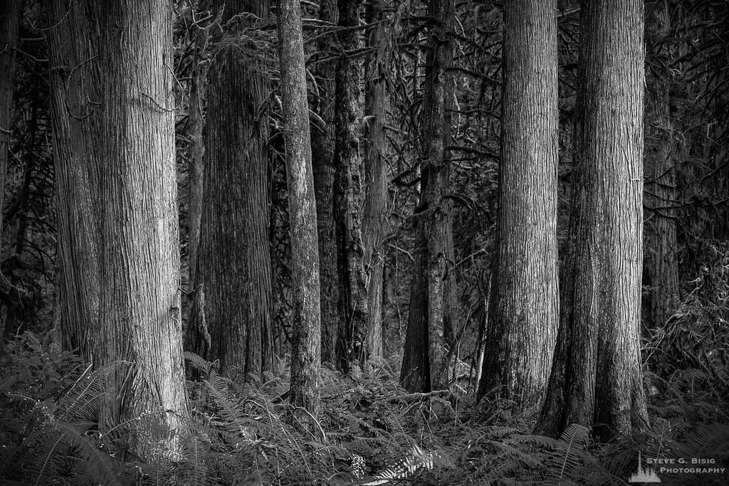
Cedar Forest, Lewis and Clark State Park, Washington, 2015
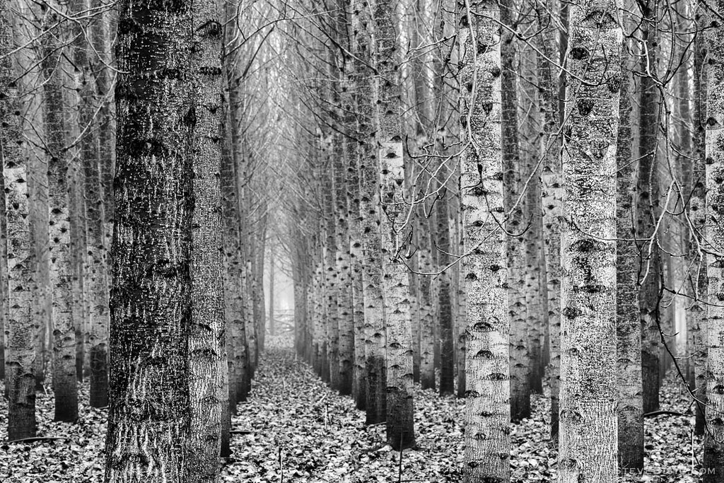
Poplar Tree Plantation, Lewis County, Washington, 2015
#DeepCreekRoad

Our Dog Halle
Mt St Helens from my seat on @alaskaair to Portland. Isn't it looking gorgeous for its closeup? Yep, I'm back already. #mischiefmanaged #snow #volcano

Barn and Silo, Adna, Washington, 2015
#PartlyCloudy
Road Closed
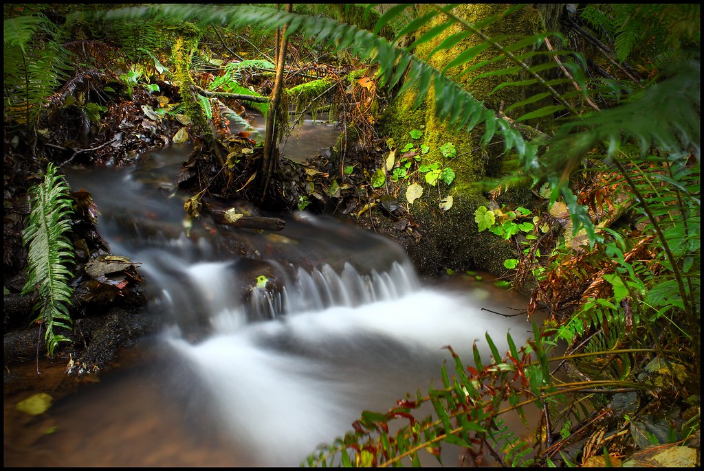
Sears Creek I
Topographic Map of Caporale Ln, Chehalis, WA, USA
Find elevation by address:

Places near Caporale Ln, Chehalis, WA, USA:
120 Caporale Ln
Napavine
207 Meier Rd
3928 Jackson Hwy
171 Pascoe Ave
Post Ln, Chehalis, WA, USA
Park Road
217 Guerrier Rd
Hansen Family Nursery
Mary's Corner Market
217 Guerrier Rd
217 Hawkins Rd
1024 Wa-508
215 Clark Rd
Front Street
117 Clark Rd
Winlock
149 Swindler Rd
10 Nicholson Rd #10
165 Buckhorn Rd
Recent Searches:
- Elevation of Lampiasi St, Sarasota, FL, USA
- Elevation of Elwyn Dr, Roanoke Rapids, NC, USA
- Elevation of Congressional Dr, Stevensville, MD, USA
- Elevation of Bellview Rd, McLean, VA, USA
- Elevation of Stage Island Rd, Chatham, MA, USA
- Elevation of Shibuya Scramble Crossing, 21 Udagawacho, Shibuya City, Tokyo -, Japan
- Elevation of Jadagoniai, Kaunas District Municipality, Lithuania
- Elevation of Pagonija rock, Kranto 7-oji g. 8"N, Kaunas, Lithuania
- Elevation of Co Rd 87, Jamestown, CO, USA
- Elevation of Tenjo, Cundinamarca, Colombia