Elevation of Cap-Bateau, NB E8T 3H6, Canada
Location: Canada > New Brunswick > Gloucester County > Shippagan >
Longitude: -64.537753
Latitude: 47.812132
Elevation: 0m / 0feet
Barometric Pressure: 101KPa
Elevation Map:
Satellite Map:
Related Photos:

Shippagan, NB
Quai de Petit-Shippagan / Little Shippagan's Warf
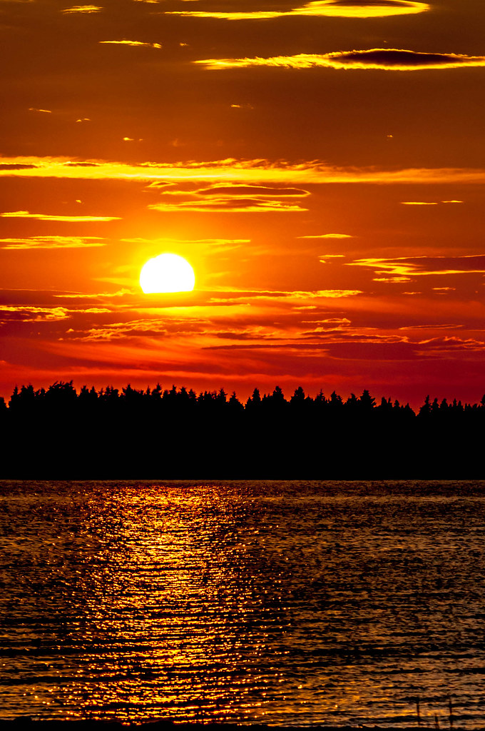
Coucher soleil en Acadie
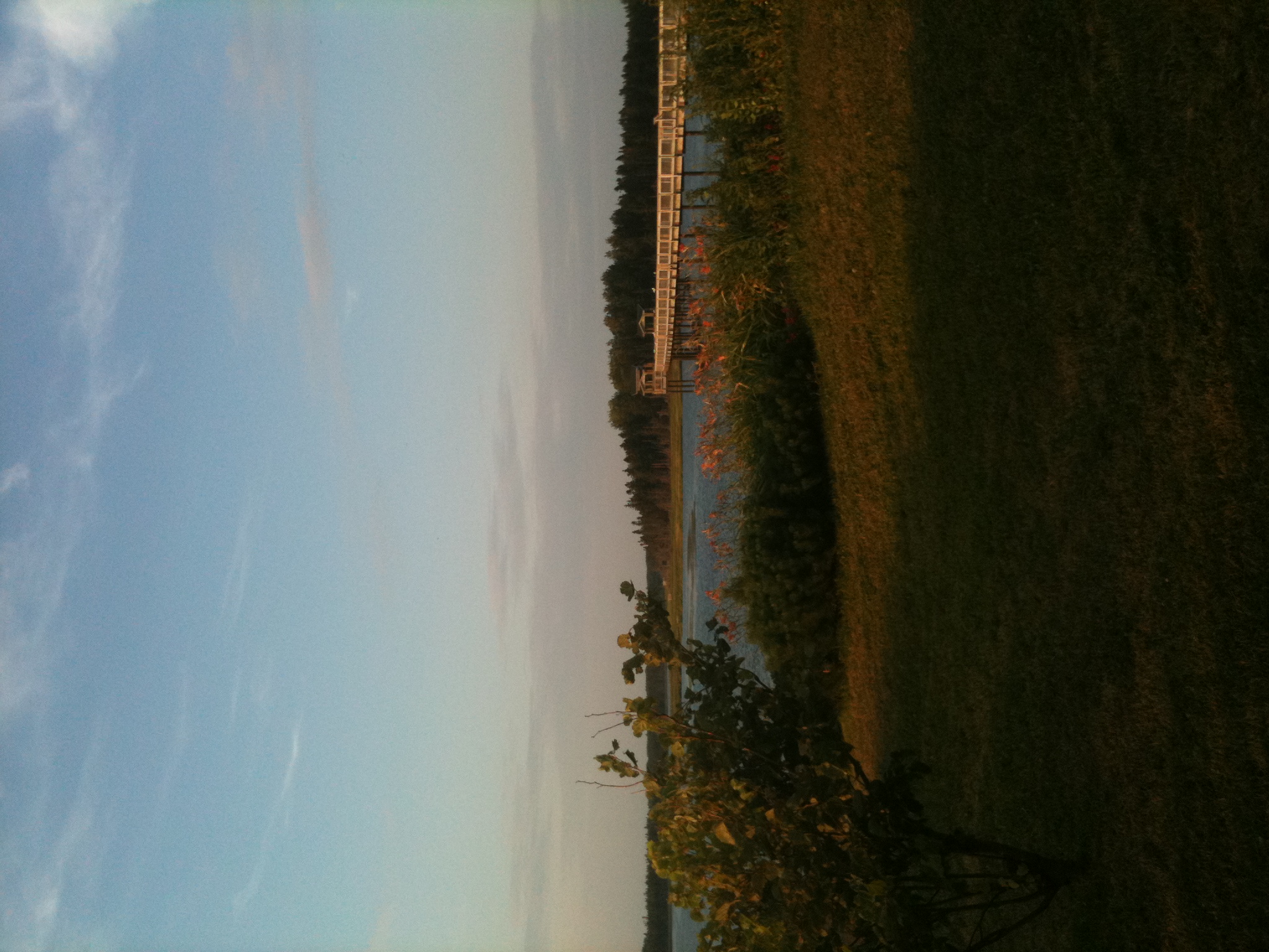
photo 5.JPG

Couché de soleil à Lamèque / Sunset in Lamèque
Marais salant du havre de Miscou / Miscou harbour's saltmarsh
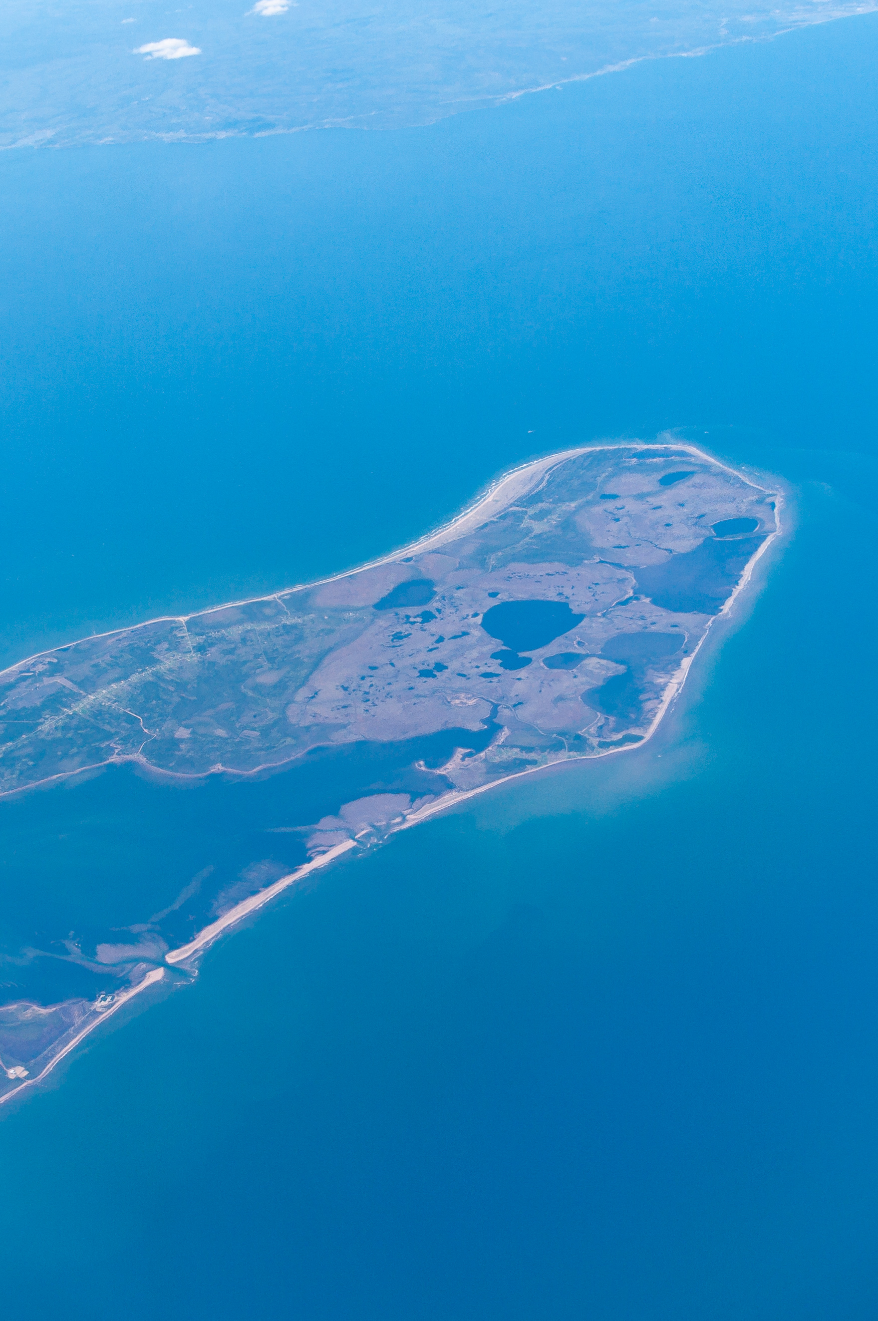
Vol trans atlantique
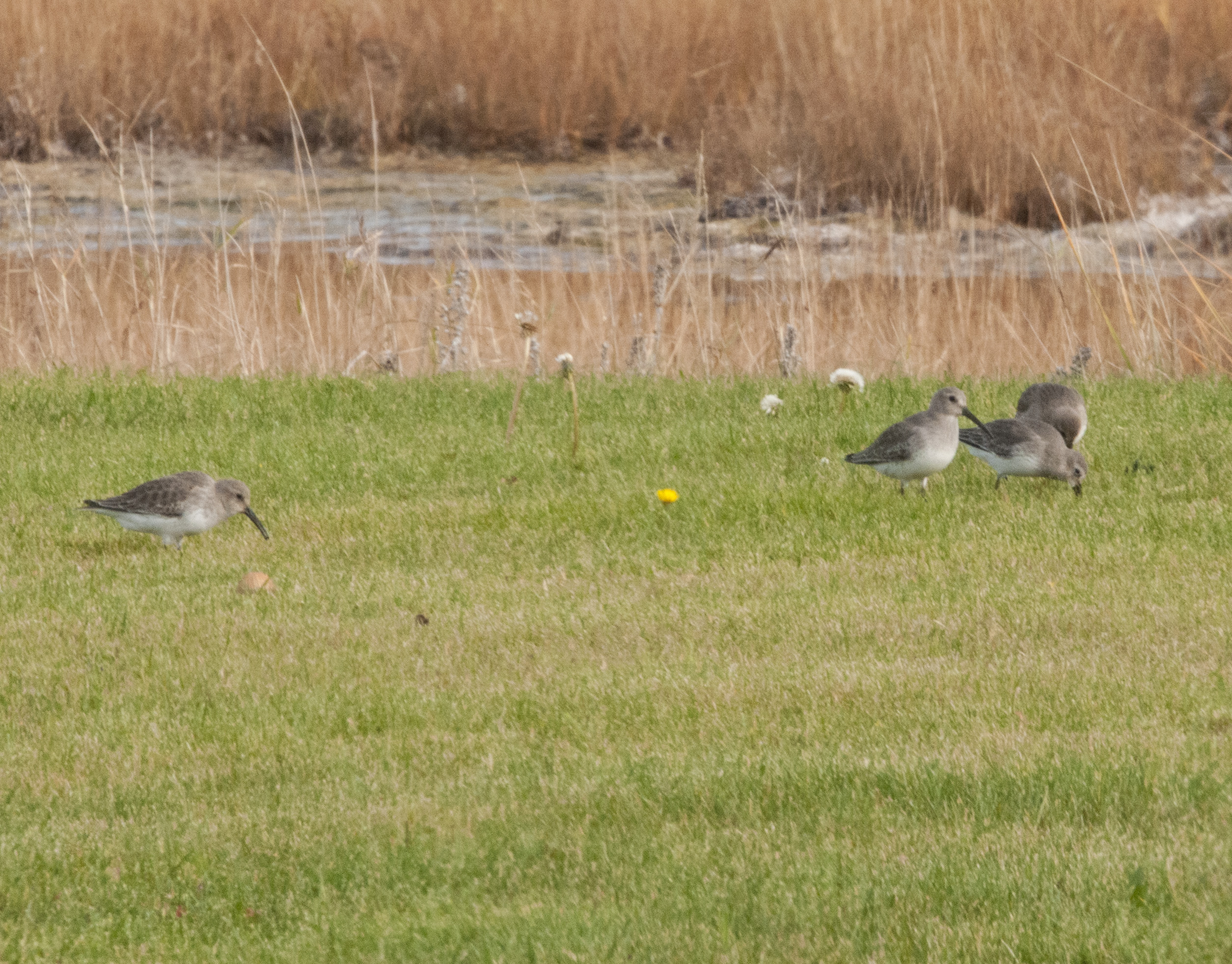
Bécasseau variable / Dunlin

Parc écologique

Shippagan, NB
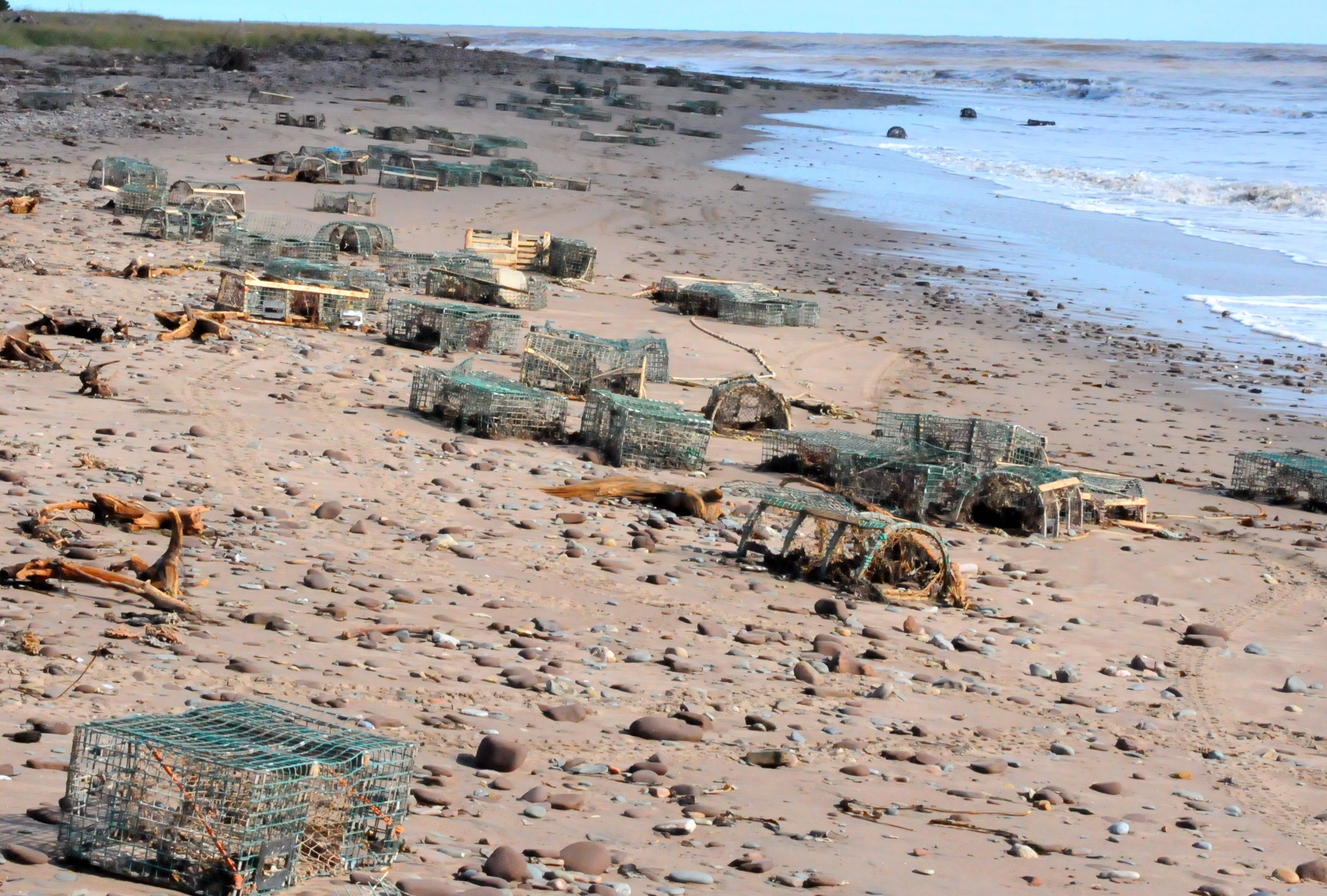
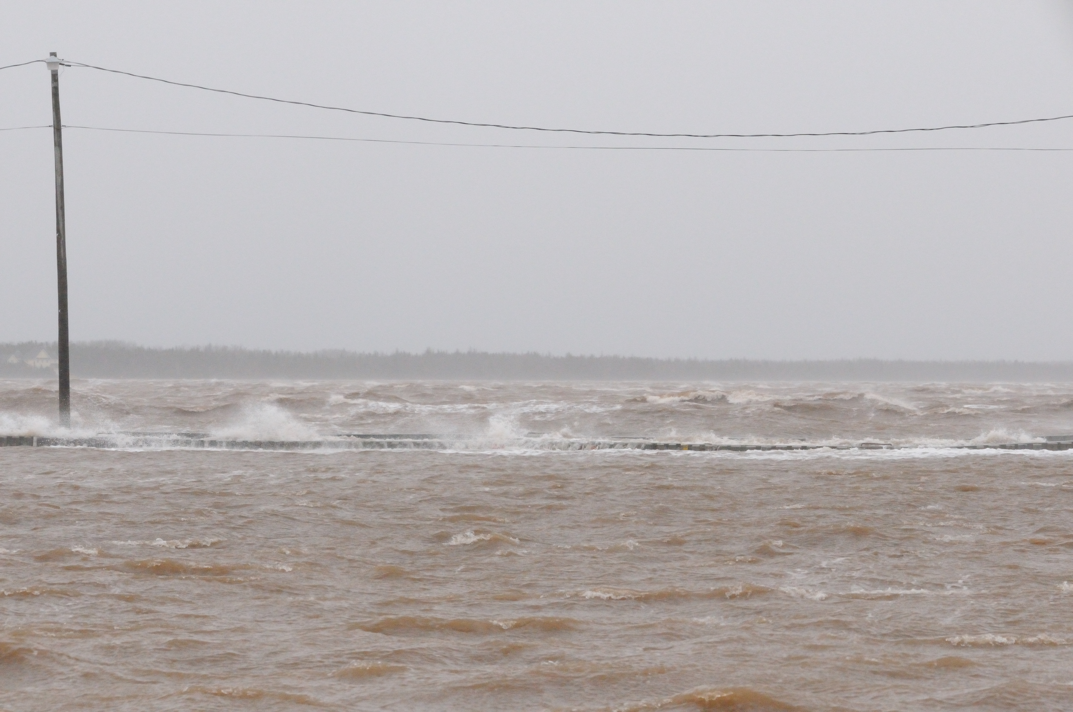
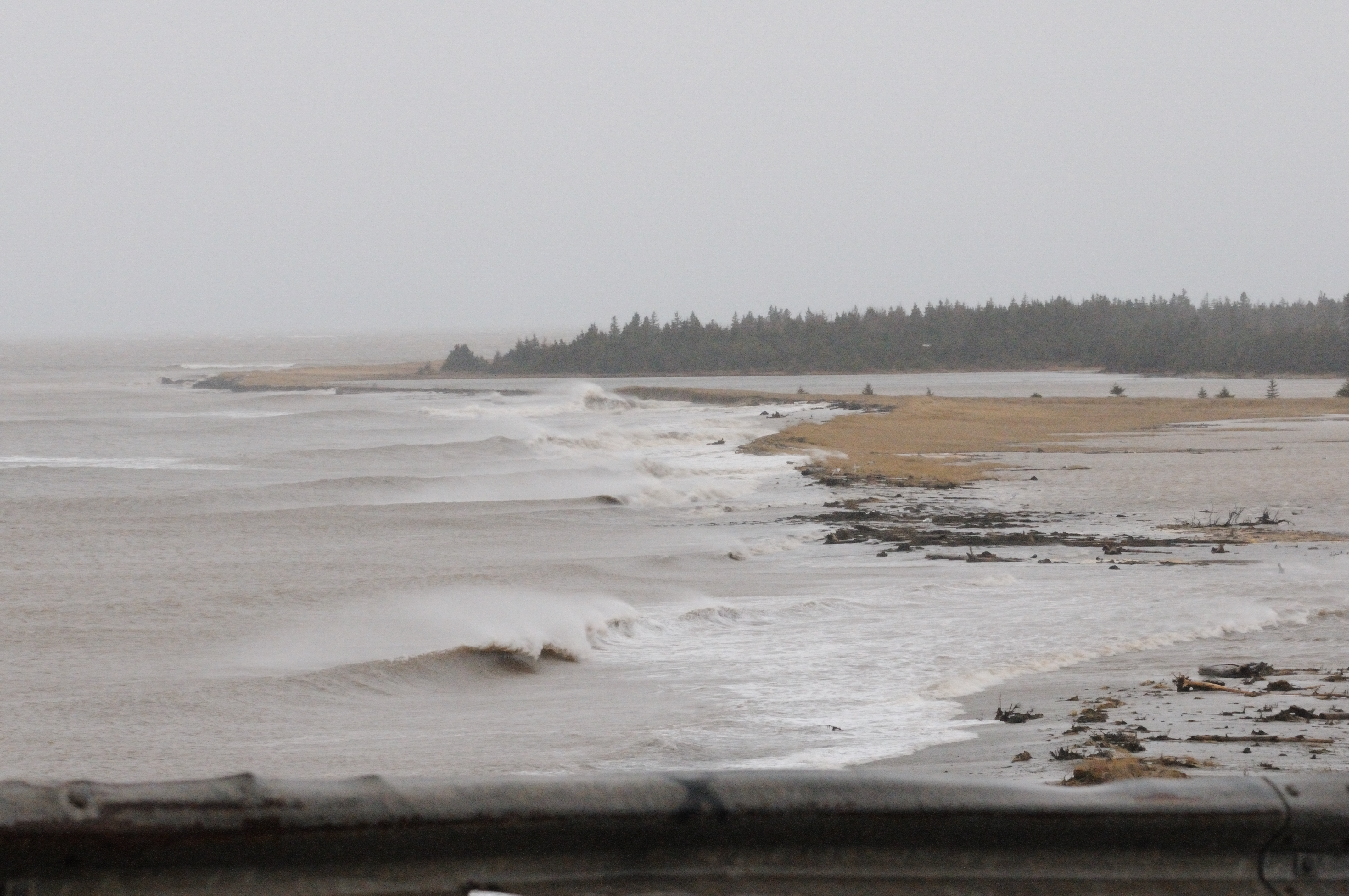
Trappes à homard qui viennent d'atterir sur la côte après la tempête du 05 octobre 2011
Topographic Map of Cap-Bateau, NB E8T 3H6, Canada
Find elevation by address:

Places near Cap-Bateau, NB E8T 3H6, Canada:
NB-, Cap-Bateau, NB E8T 3H6, Canada
Lamèque
Chemin Chiasson, Shippagan, NB E8S 3E6, Canada
NB-, Pointe-Alexandre, NB E8T 2K9, Canada
Pointe-alexandre
Lot 1
Norway Rd, Tignish, PE C0B 2B0, Canada
PE-14, Tignish, PE C0B 2B0, Canada
Ascension Rd, Tignish, PE C0B 2B0, Canada
Anglo Tignish
Tignish
Clark Rd, Tignish, PE C0B 2B0, Canada
Marchbank Rd, Elmsdale, PE C0B 1K0, Canada
Greenmount Rd, Tignish, PE C0B 2B0, Canada
Lot 3
Lot 3
Lot 2
11 Haliburton Rd, Bloomfield, PE C0B 1E0, Canada
Pridham Rd, Alberton, PE C0B 1B0, Canada
Kildare Capes
Recent Searches:
- Elevation of Keene Point Drive, Keene Point Dr, Grant, AL, USA
- Elevation of State St, Zanesville, OH, USA
- Elevation of Austin Stone Dr, Haslet, TX, USA
- Elevation of Bydgoszcz, Poland
- Elevation of Bydgoszcz, Poland
- Elevation of Calais Dr, Del Mar, CA, USA
- Elevation of Placer Mine Ln, West Jordan, UT, USA
- Elevation of E 63rd St, New York, NY, USA
- Elevation of Elk City, OK, USA
- Elevation of Erika Dr, Windsor, CA, USA