Elevation of Caniangan, Tangub City, Misamis Occidental, Philippines
Location: Philippines > Northern Mindanao > Misamis Occidental > Tangub City >
Longitude: 123.712651
Latitude: 8.0792947
Elevation: 64m / 210feet
Barometric Pressure: 101KPa
Elevation Map:
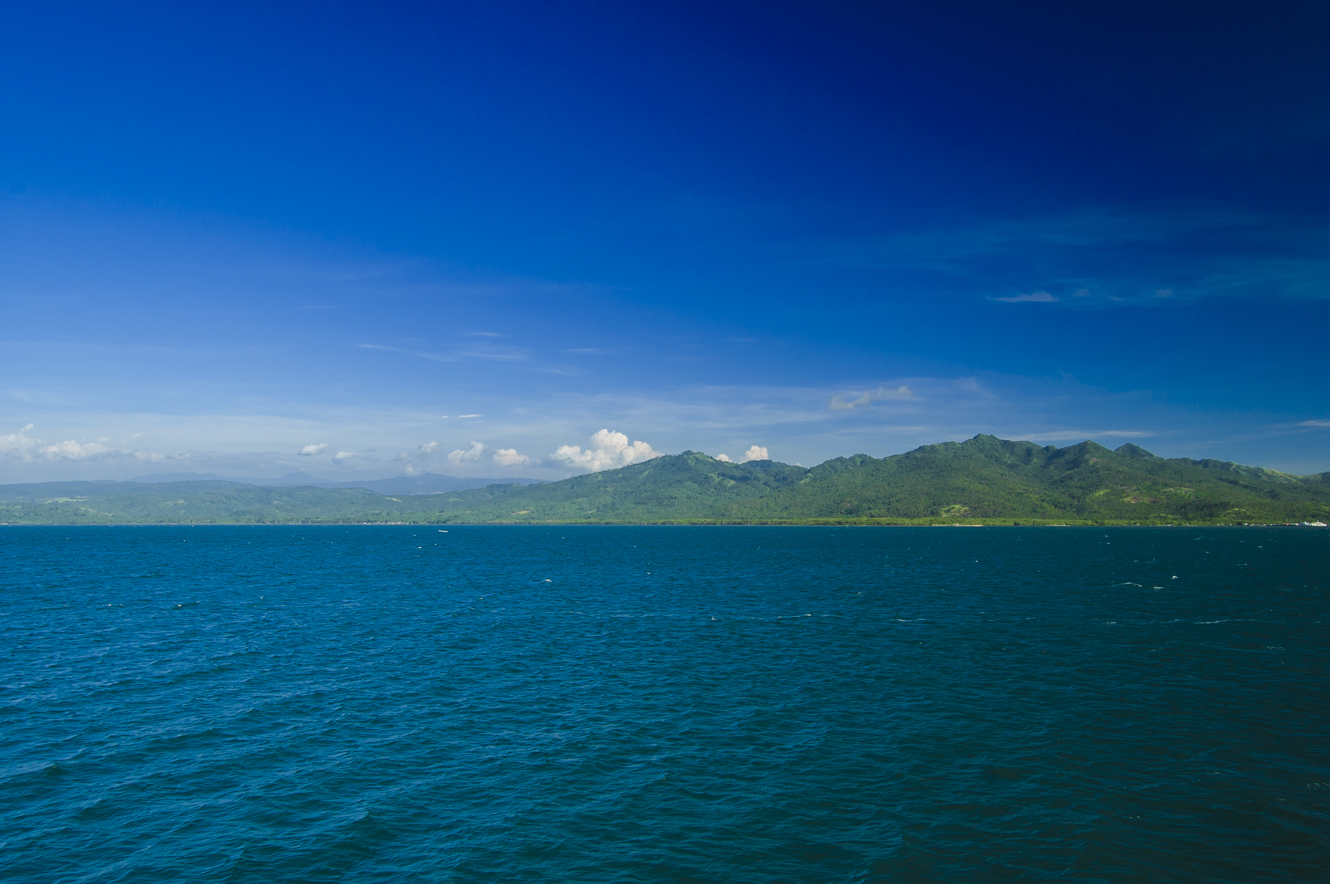
Satellite Map:
Related Photos:
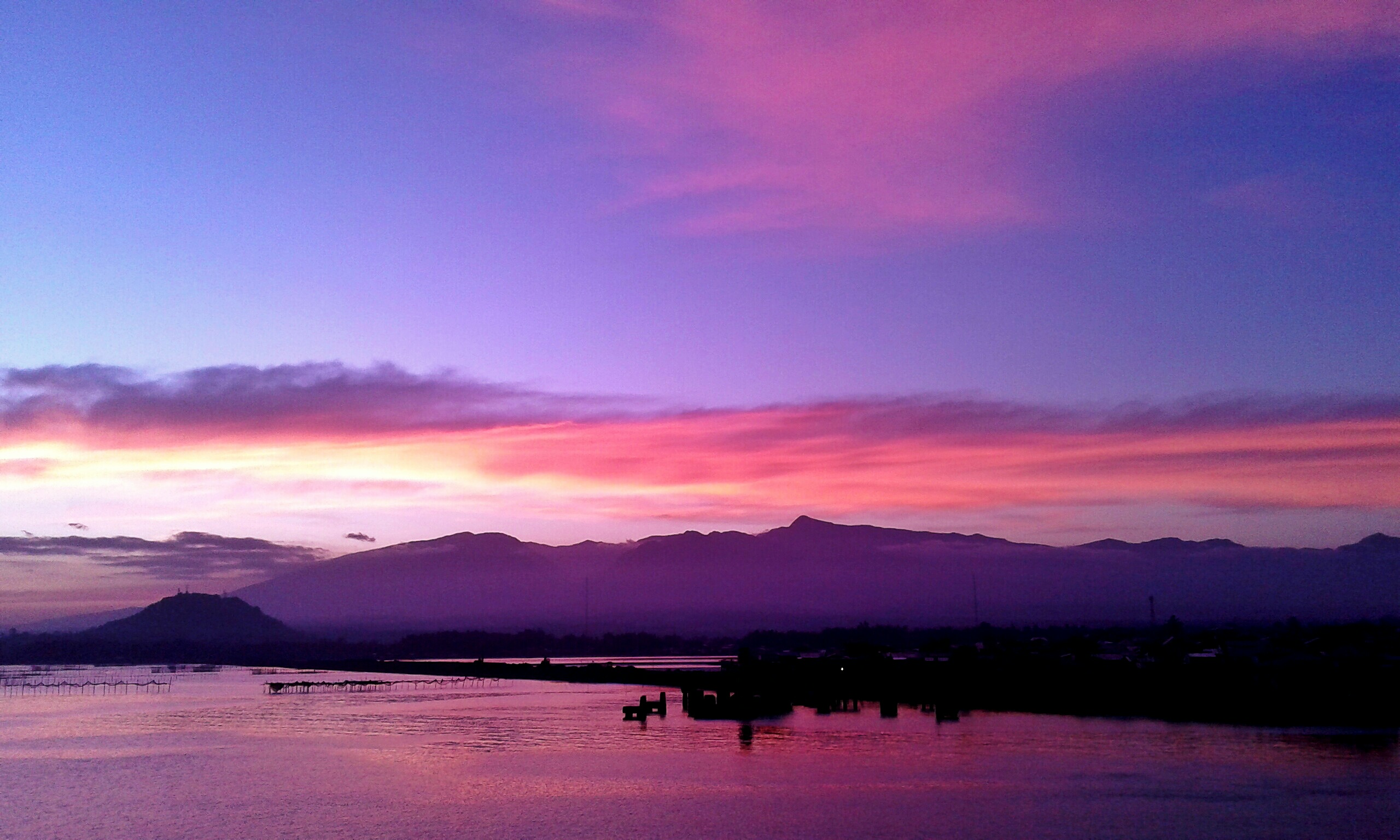
the sitting sun

Panguil Bay #sunset

Mukas Seaport

when darkness turns to light

Ozamiz City

Ozamiz City

Under Palms
80F 850M above sea level

Mt Malindang

Bijna daar met @kroonjan
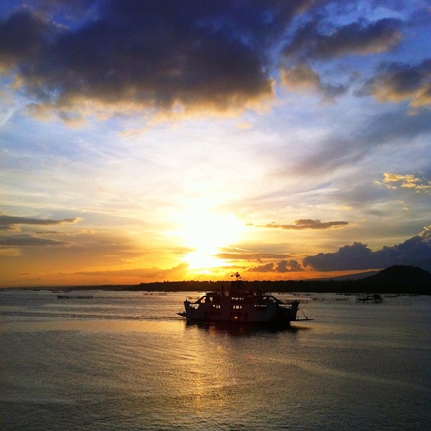
Sunset by the Bay

Waiting to Sail Away

ferry crossing

ferry crossing
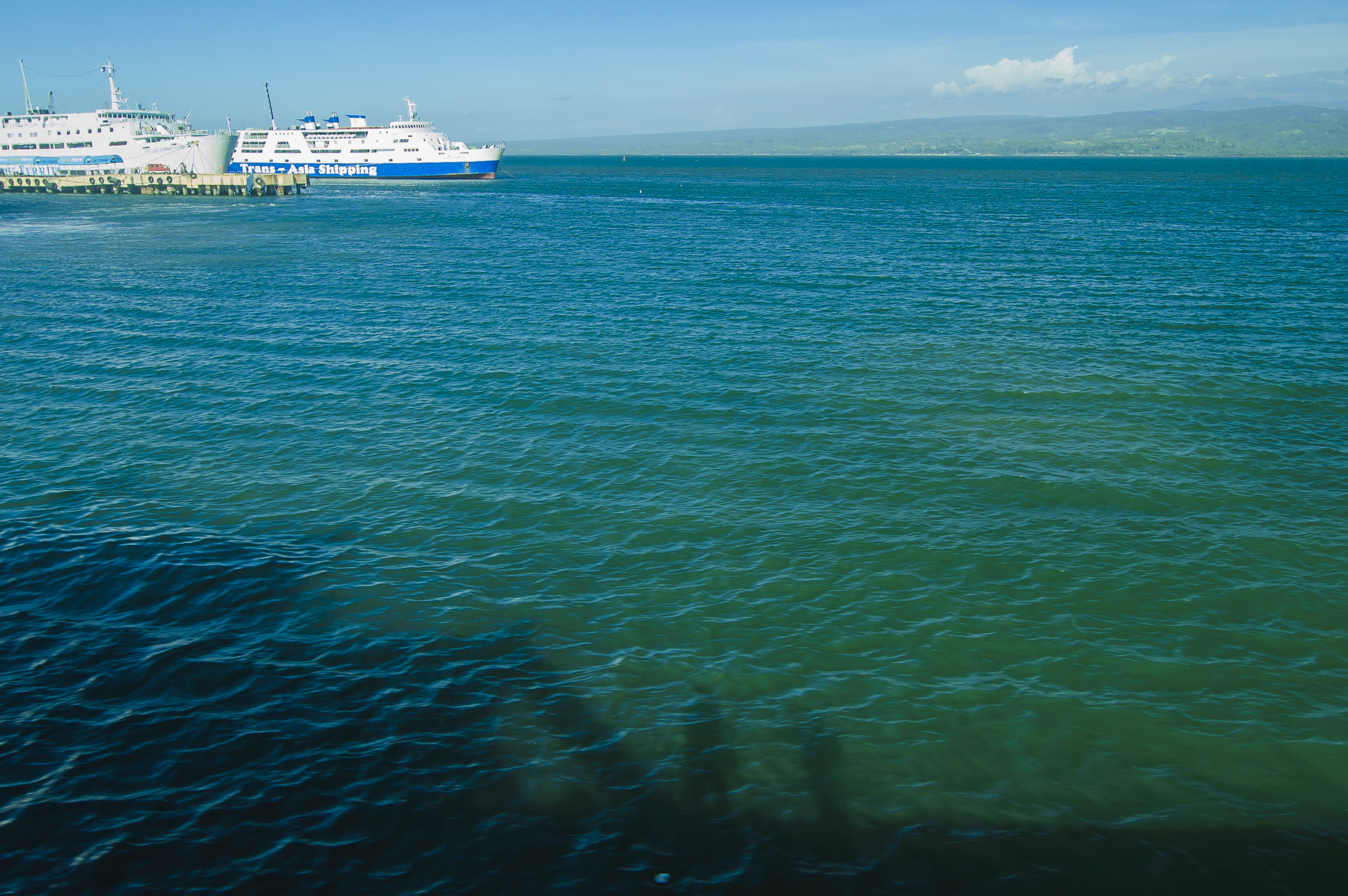
ferry crossing
ferry crossing
Topographic Map of Caniangan, Tangub City, Misamis Occidental, Philippines
Find elevation by address:

Places near Caniangan, Tangub City, Misamis Occidental, Philippines:
Kauswagan Barangay Hall
Bintana
Labuyo
Labuyo Barangay Hall
Hoyohoy Elementary School
Aquino Elementary School
Baluc Elementary School
Barangay Tres Elementary School
Polao Elementary School
Isidro D. Tan Elementary School
Aquino (marcos)
Garang
Santo Nino
Tangub City
Hoyohoy For Ecological Restoration Multi-purpose Cooperative
Guinalaban
Capalaran
Banglay
Taguite
Sicot
Recent Searches:
- Elevation of Congressional Dr, Stevensville, MD, USA
- Elevation of Bellview Rd, McLean, VA, USA
- Elevation of Stage Island Rd, Chatham, MA, USA
- Elevation of Shibuya Scramble Crossing, 21 Udagawacho, Shibuya City, Tokyo -, Japan
- Elevation of Jadagoniai, Kaunas District Municipality, Lithuania
- Elevation of Pagonija rock, Kranto 7-oji g. 8"N, Kaunas, Lithuania
- Elevation of Co Rd 87, Jamestown, CO, USA
- Elevation of Tenjo, Cundinamarca, Colombia
- Elevation of Côte-des-Neiges, Montreal, QC H4A 3J6, Canada
- Elevation of Bobcat Dr, Helena, MT, USA