Elevation of Banglay, Misamis Occidental, Philippines
Location: Philippines > Northern Mindanao > Misamis Occidental >
Longitude: 123.721036
Latitude: 8.1276186
Elevation: 266m / 873feet
Barometric Pressure: 98KPa
Elevation Map:
Satellite Map:
Related Photos:
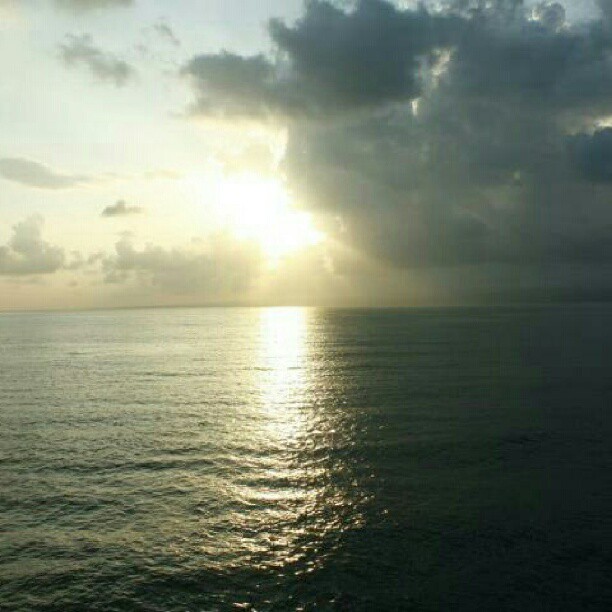
the sitting sun

Let's go trekking ????????????

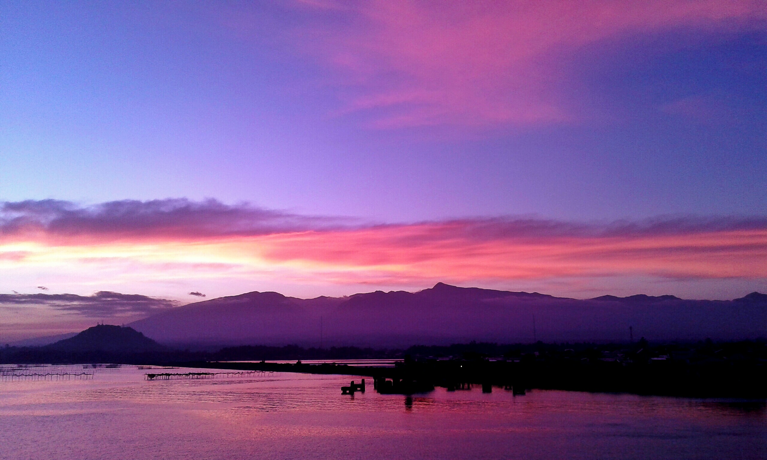
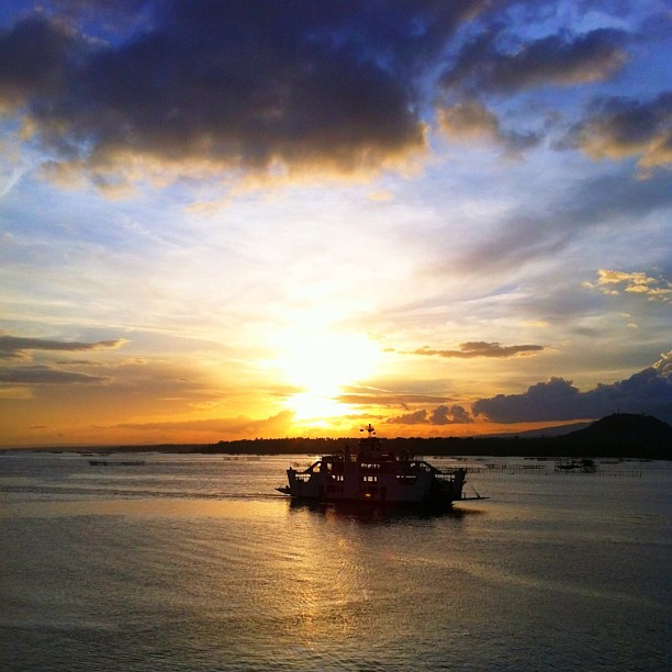
Panguil Bay #sunset

Under Palms
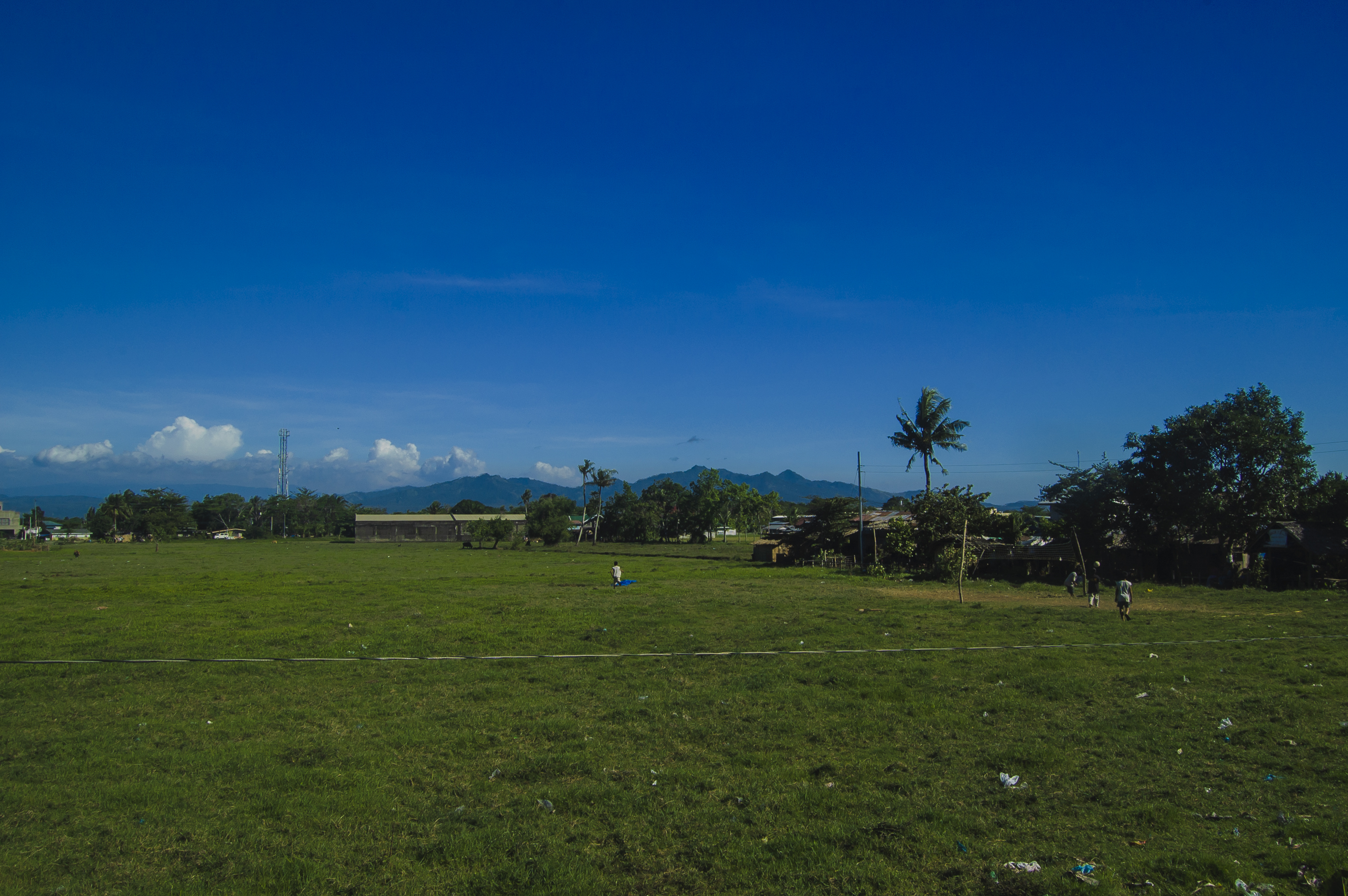
80F 850M above sea level

Bijna daar met @kroonjan

ferry crossing
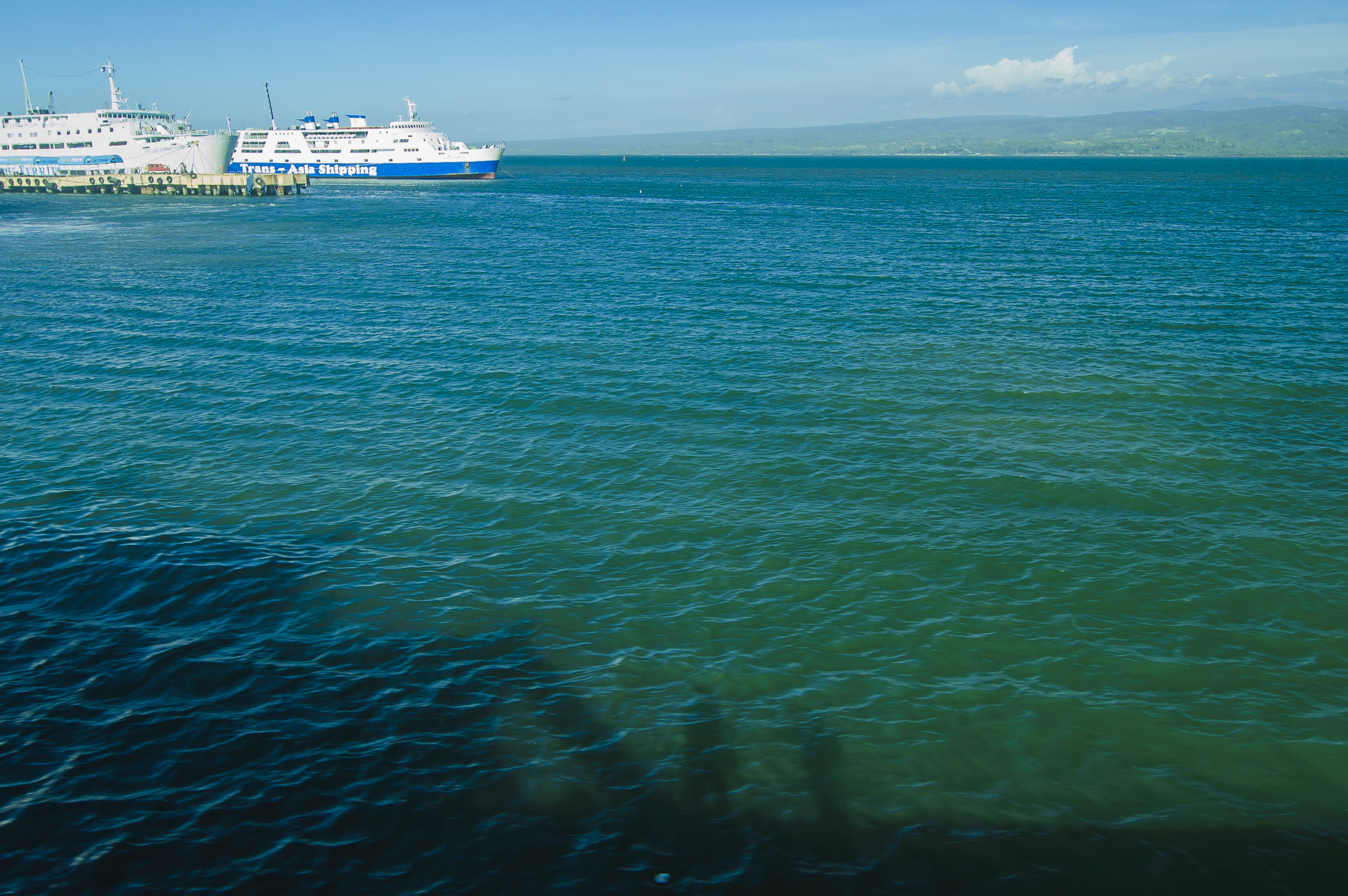
ferry crossing
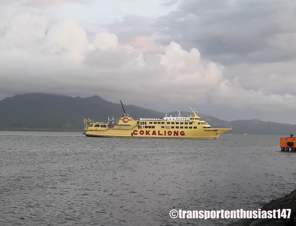
ferry crossing
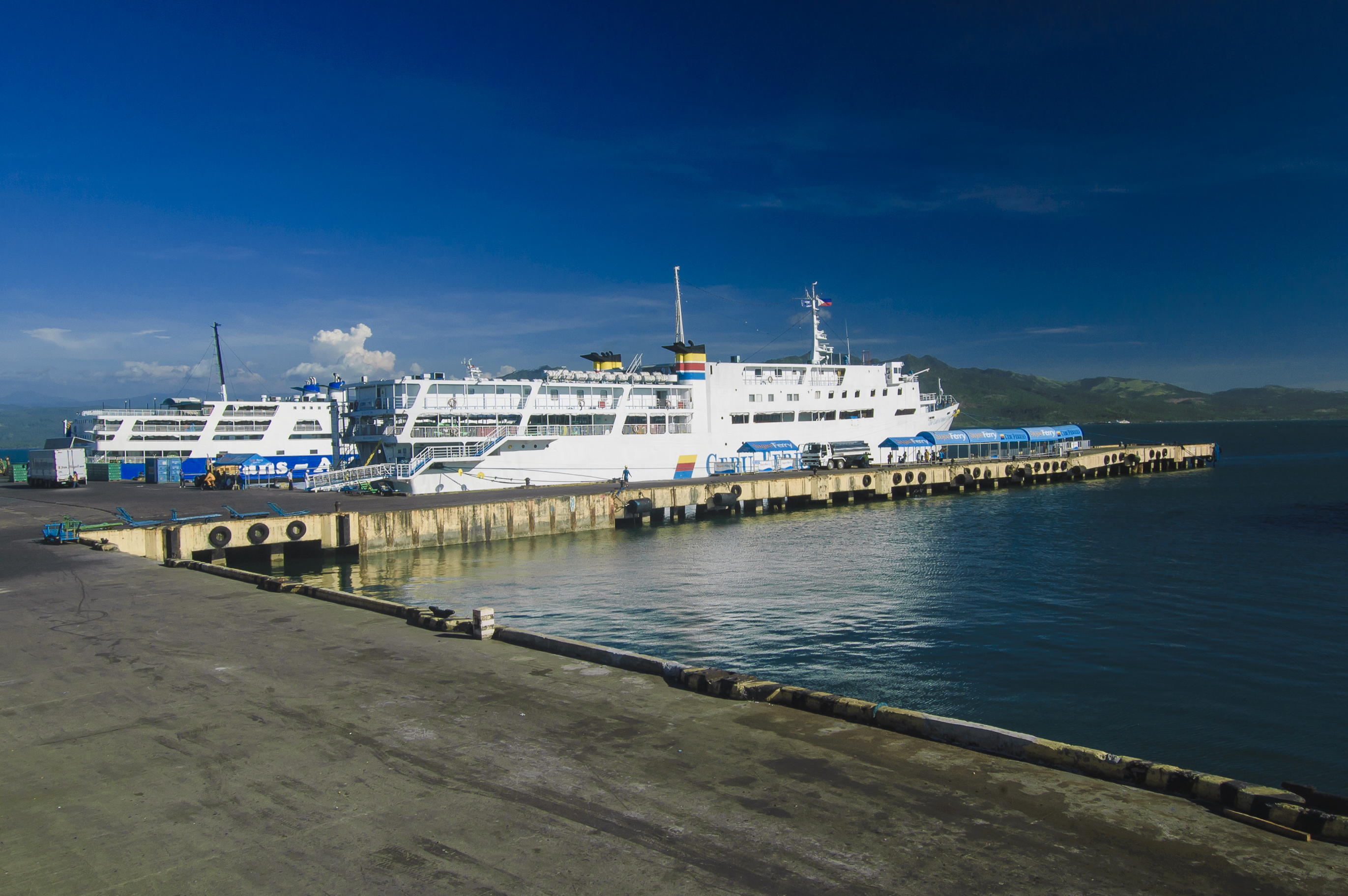
ferry crossing
ozamis april 2010

Docked...
Sunset by the Bay
shining amidst chaos..
Filipinas Nasipit

Ozamiz City
Topographic Map of Banglay, Misamis Occidental, Philippines
Find elevation by address:

Places near Banglay, Misamis Occidental, Philippines:
Santo Nino
Gala
Hoyohoy Elementary School
Aquino Elementary School
Baluc Elementary School
Barangay Tres Elementary School
Polao Elementary School
Isidro D. Tan Elementary School
Capalaran
Hoyohoy Highland Resort
Hoyohoy View Deck
Taguite
Tangub City
Hoyohoy For Ecological Restoration Multi-purpose Cooperative
Sicot
Tipan Bike Park
San Antonio
Matugnaw
Mount Malindang
Don Victoriano Chiongbian
Recent Searches:
- Elevation of Abbey Dr, Virginia Beach, VA, USA
- Elevation of Brooks Lp, Spearfish, SD, USA
- Elevation of Panther Dr, Maggie Valley, NC, USA
- Elevation of Jais St - Wadi Shehah - Ras al Khaimah - United Arab Emirates
- Elevation of Shawnee Avenue, Shawnee Ave, Easton, PA, USA
- Elevation of Scenic Shore Dr, Kingwood Area, TX, USA
- Elevation of W Prive Cir, Delray Beach, FL, USA
- Elevation of S Layton Cir W, Layton, UT, USA
- Elevation of F36W+3M, Mussoorie, Uttarakhand, India
- Elevation of Fairland Ave, Fairhope, AL, USA