Elevation of Camp Creek Road, Camp Creek Rd, Union Mills, NC, USA
Location: United States > North Carolina > Rutherford County > Camp Creek > Union Mills >
Longitude: -81.903868
Latitude: 35.5128582
Elevation: 309m / 1014feet
Barometric Pressure: 98KPa
Elevation Map:
Satellite Map:
Related Photos:
South Mountain Game Lands

Gypsy Gold
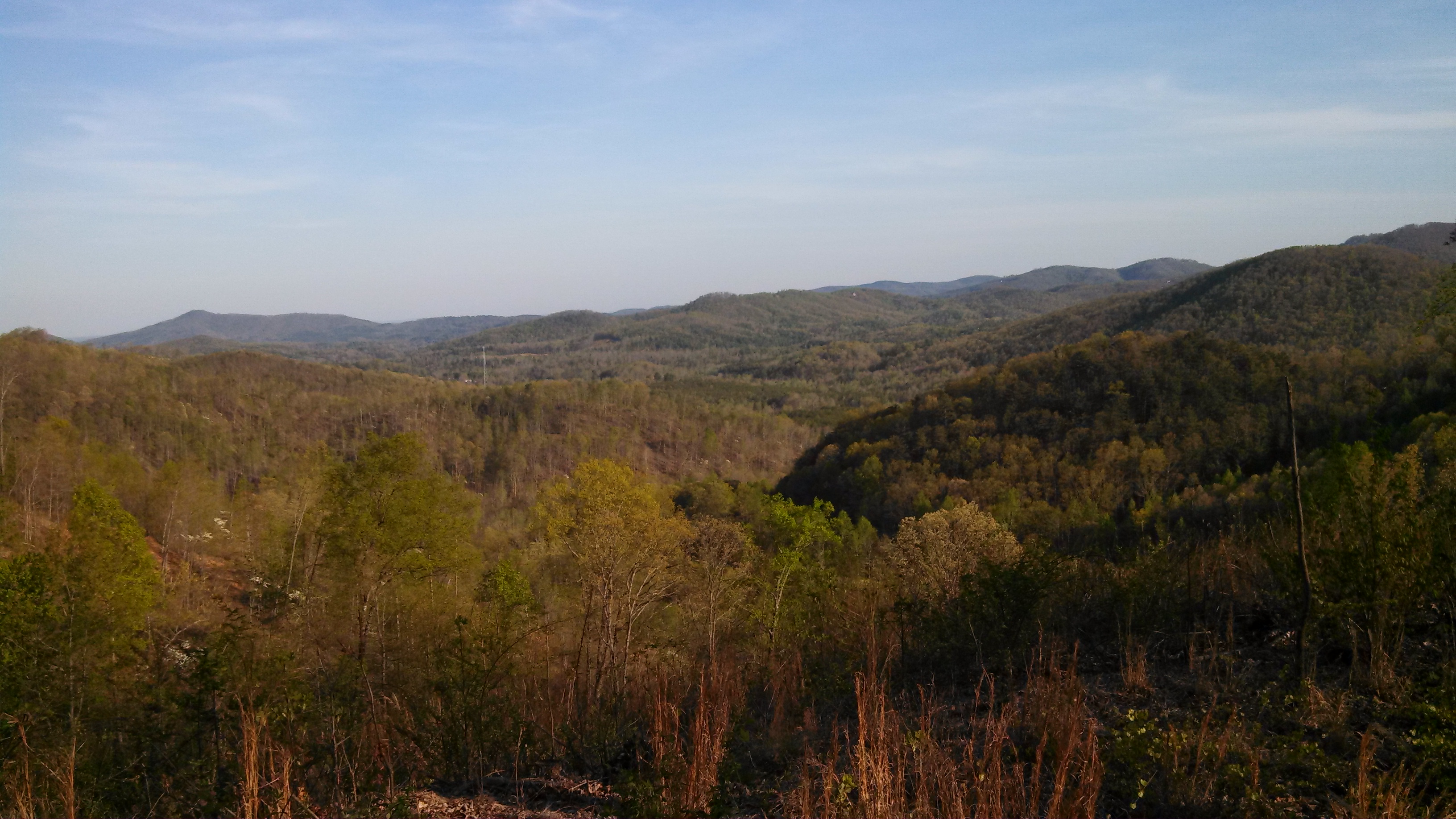
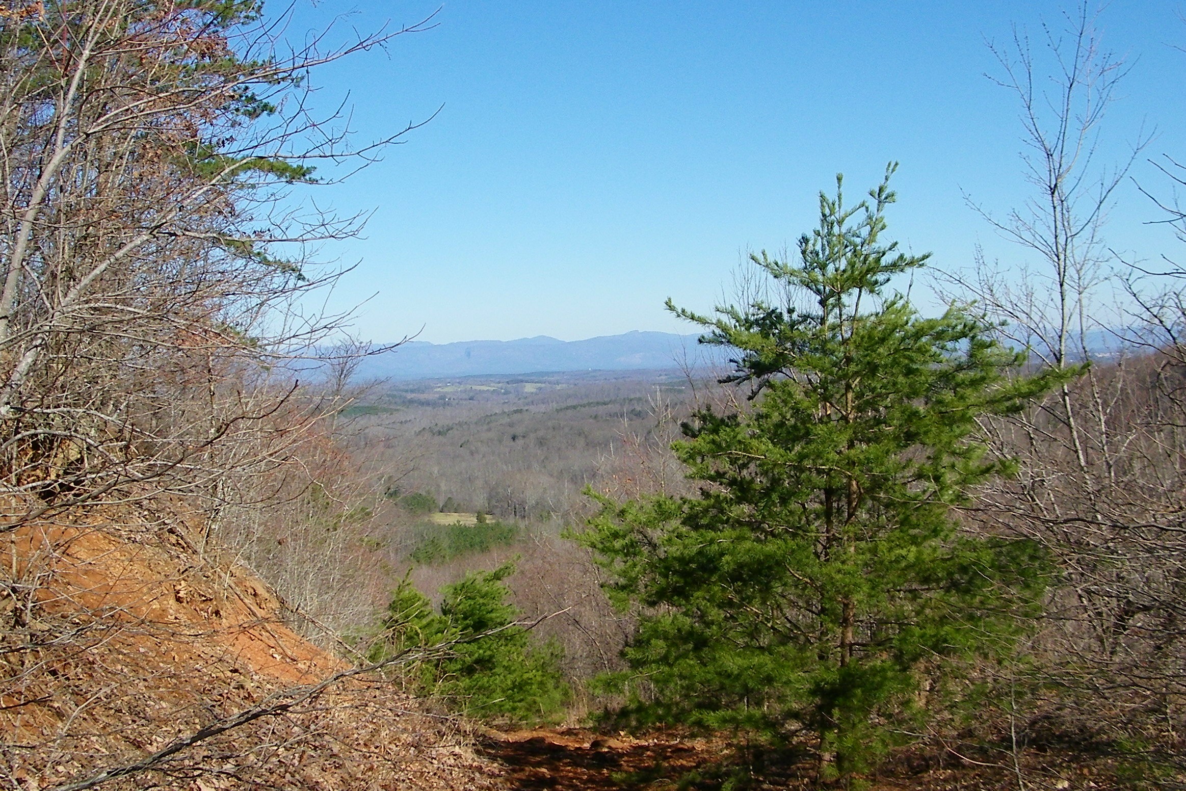
After Dinner View

Not a bad view at all and a fun hike. Base of the waterfall at Chimney Rock.
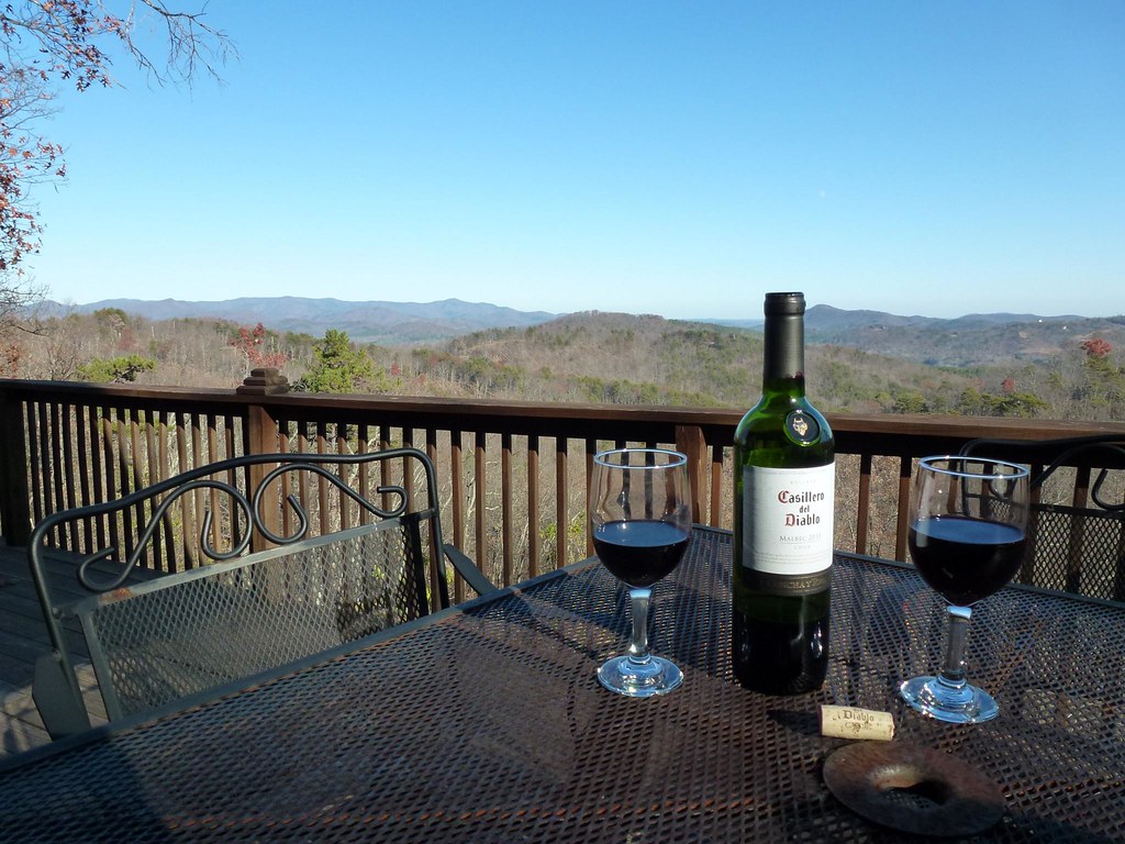
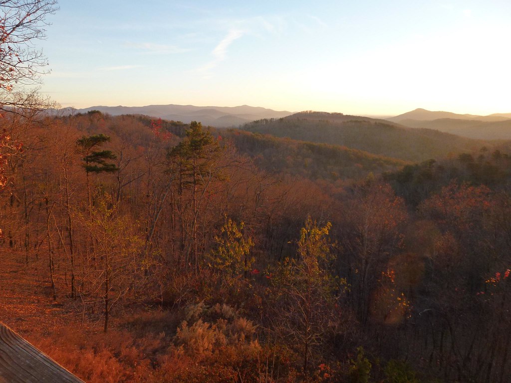
View from the Deck
View from the Deck
Lee & I out scouting for turkey season and for this year's upcoming deer season

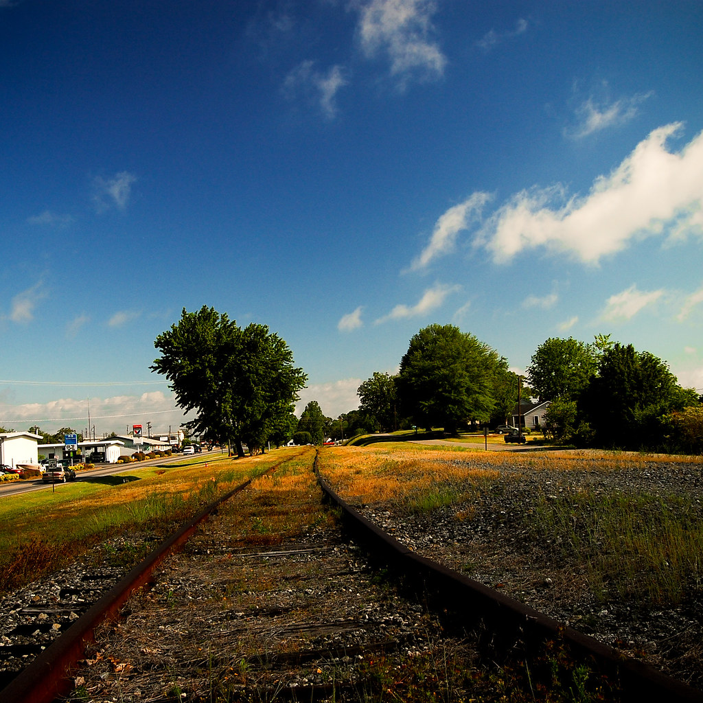
Train Chase [II]

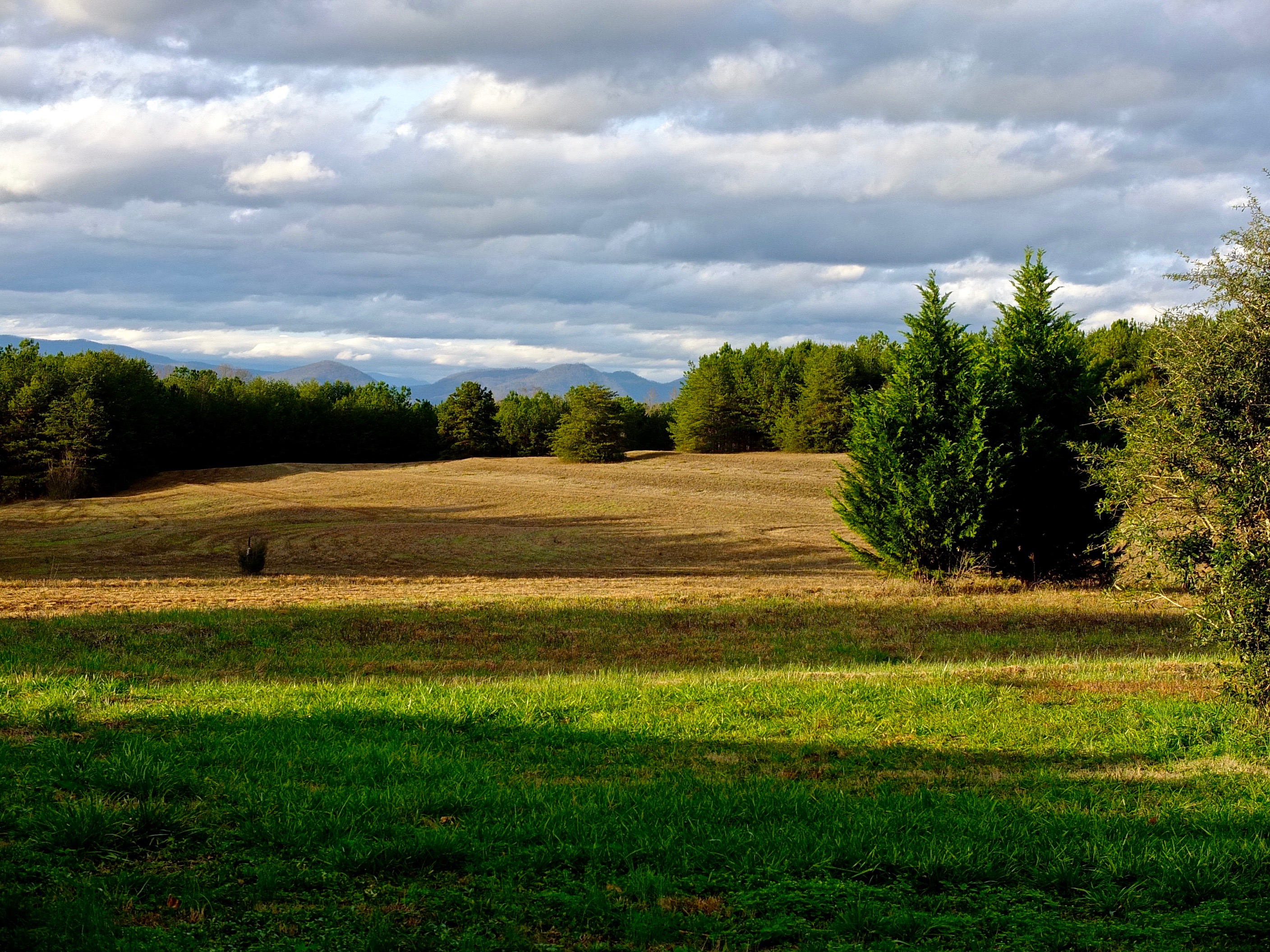
Morning light on Camp Grimes
IMG_2187 (640x480)
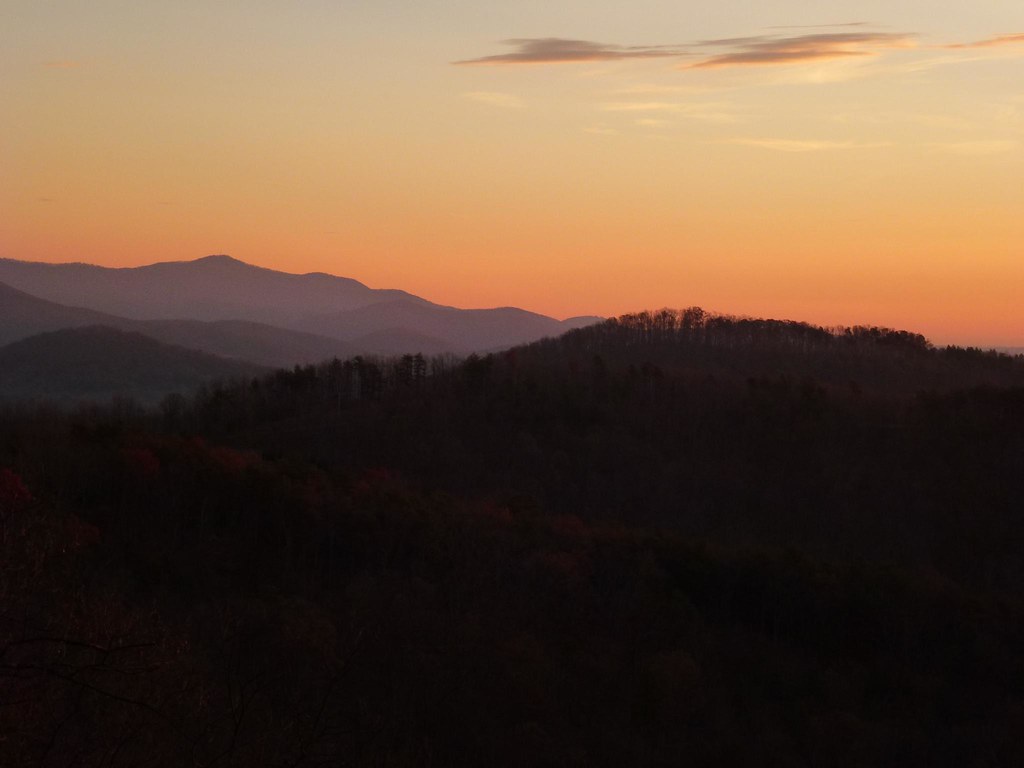
Sunrise from the Deck
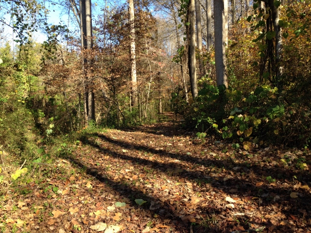
Rock Railroad

IMG_2173 (640x480)
IMG_2173 (640x480)

IMG_2151 (640x480)
IMG_2151 (640x480)

August 18-2012-127-1

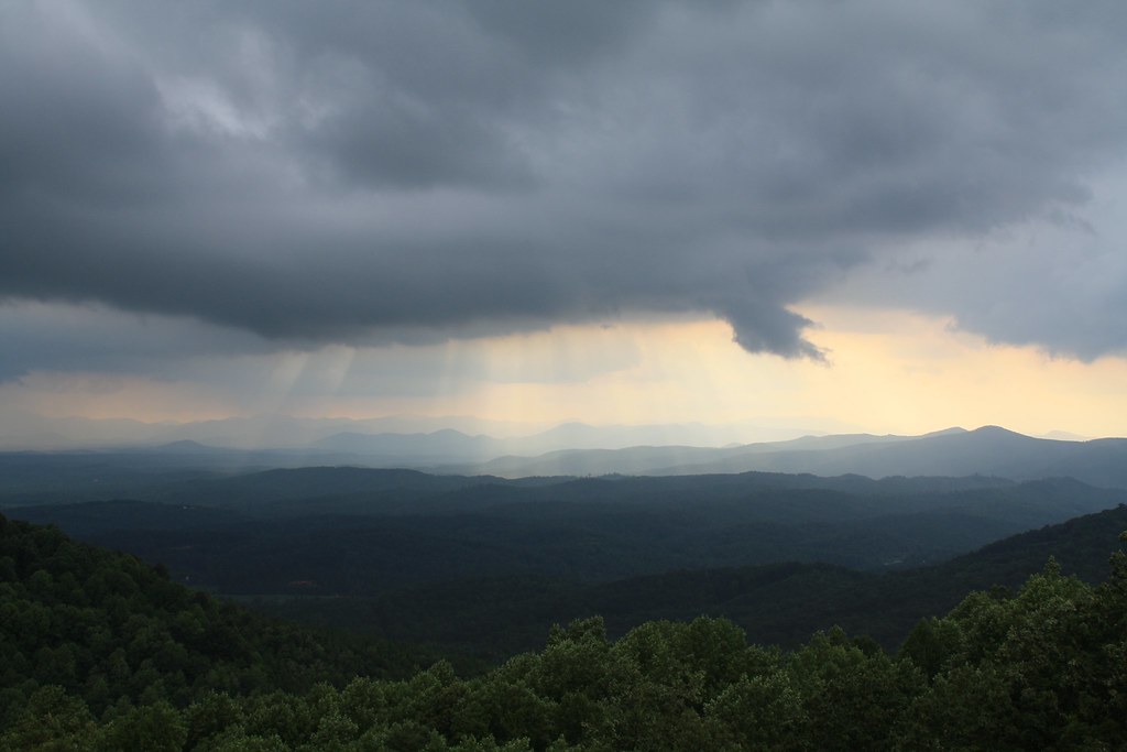
Returning from the Light
A New Day
Evening at Dink Cannon Junction
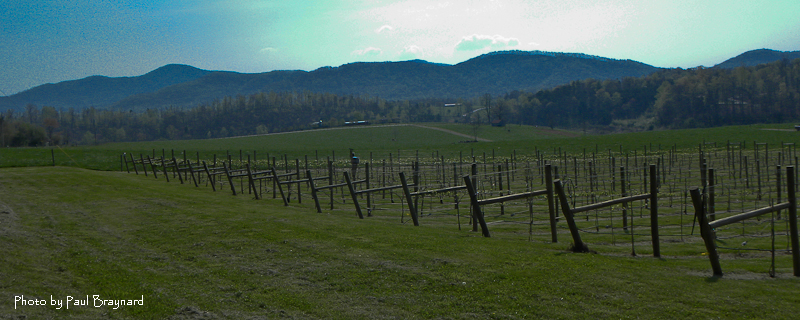
DeMariano Vineyards
Rutherfordton House

August 18-2012-108-TM
IMG_2172 (640x206)
The Sunset Lodge - Vista from Back Porch
Sunrise from the Deck
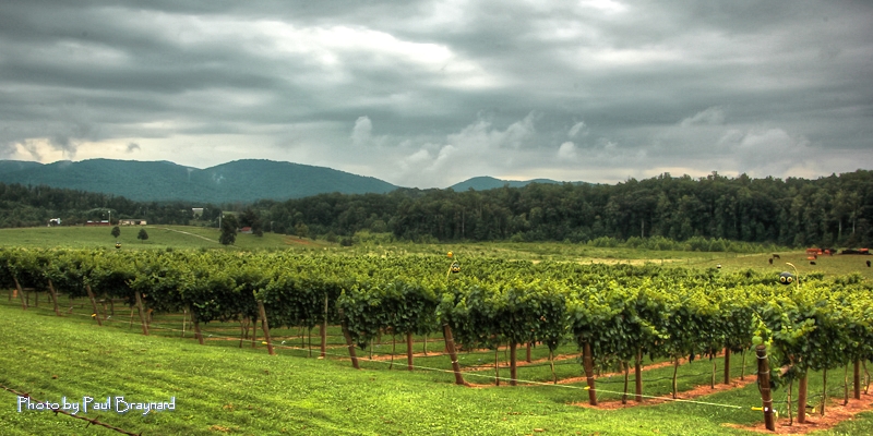
DeMariano Vineyard
Topographic Map of Camp Creek Road, Camp Creek Rd, Union Mills, NC, USA
Find elevation by address:

Places near Camp Creek Road, Camp Creek Rd, Union Mills, NC, USA:
Golden Creek
Mountain Vista Drive
229 Mountain Vista Dr
500 Scenic Vista Dr
38 Table Rock Dr
395 Scenic Vista Dr
Scenic Vista Drive
Scenic Vista Drive
1614 Grandview Peaks Dr
Summit Drive
108 Summit Dr
124 Lakeview Trail
330 Lakeview Trail
Grandview Peaks Drive
1224 Mountain Vista Dr
Grandview Loop
330 Grandview Peaks Dr
Brindlewood Drive
277 Double Eagle Dr
277 Double Eagle Dr
Recent Searches:
- Elevation of Crystal Cir, Birmingham, AL, USA
- Elevation of N Railroad Ave, West Palm Beach, FL, USA
- Elevation of 55 Cassick Valley Rd, Wellfleet, MA, USA
- Elevation of Ironwood Dr, Minden, NV, USA
- Elevation of 高尾山口駅, Takaomachi, Hachioji, Tokyo -, Japan
- Elevation of 15 Victory Ave, Greenville, SC, USA
- Elevation of Kota Ternate Utara, Ternate City, North Maluku, Indonesia
- Elevation of Allon St, Oceanside, NY, USA
- Elevation of Carroll Creek Rd, Custer, SD, USA
- Elevation of Lust Road, Lust Rd, Florida, USA