Elevation of Camden, AR, USA
Location: United States > Arkansas > Ouachita County > Ecore Fabre Township >
Longitude: -92.834329
Latitude: 33.5845581
Elevation: 61m / 200feet
Barometric Pressure: 101KPa
Elevation Map:
Satellite Map:
Related Photos:

stop the bleeding

A Self-Argument

The Eye(let)s have it...

garden find

Memories revisited

Affirmative -adj.: positive; not negative; expecting the best

Harvey...

well house bar framed
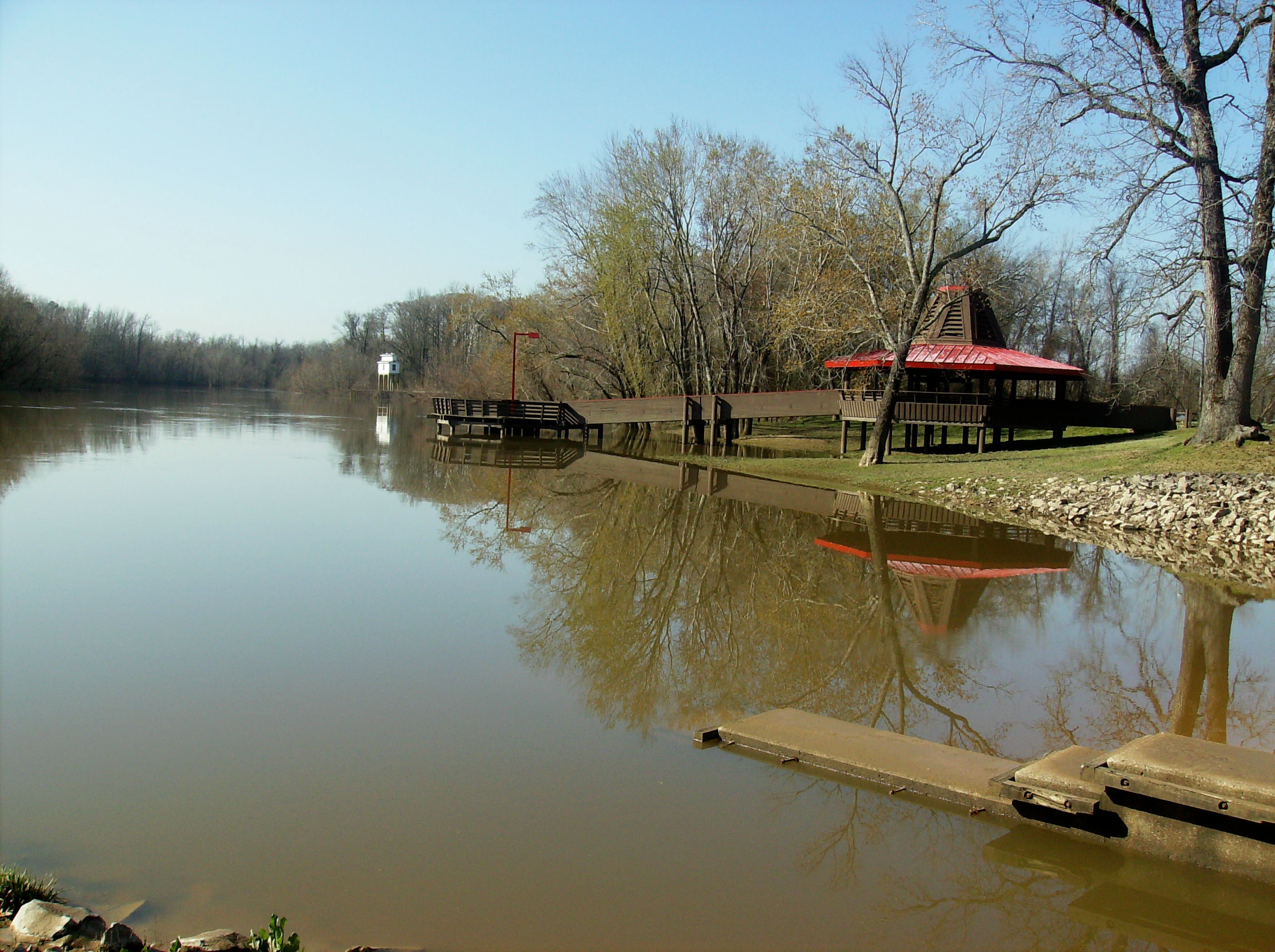
Sandy Beach Recreation Area
DSCF0672_027 (2)
DSCF0642_022 (2)
Topographic Map of Camden, AR, USA
Find elevation by address:

Places in Camden, AR, USA:
Places near Camden, AR, USA:
627 Cleveland Ave Nw
Automotive Solutions Unlimited
Grayson Street
264 Harding Ave
565 Lakeside Ave
Ecore Fabre Township
540 Oxford St
143 Valley Dr
Lafayette Township
3690 Pineview Rd
3192 Ar-24
3192 Ar-24
3192 Ar-24
2941 Ouachita Rd 3
2941 Ouachita Rd 3
Ouachita County
Ouachita Rd 32, Camden, AR, USA
Carroll Township
AR-24, Chidester, AR, USA
Bethesda Township
Recent Searches:
- Elevation of Tater Hill, Oklahoma, USA
- Elevation of NY-, Friendship, NY, USA
- Elevation of 64 Danakas Dr, Winnipeg, MB R2C 5N7, Canada
- Elevation of 4 Vale Rd, Sheffield S3 9QX, UK
- Elevation of Keene Point Drive, Keene Point Dr, Grant, AL, USA
- Elevation of State St, Zanesville, OH, USA
- Elevation of Austin Stone Dr, Haslet, TX, USA
- Elevation of Bydgoszcz, Poland
- Elevation of Bydgoszcz, Poland
- Elevation of Calais Dr, Del Mar, CA, USA