Elevation of AR-24, Chidester, AR, USA
Location: United States > Arkansas > Ouachita County > Bethesda Township >
Longitude: -92.986182
Latitude: 33.6657732
Elevation: 80m / 262feet
Barometric Pressure: 100KPa
Elevation Map:
Satellite Map:
Related Photos:

stop the bleeding

A Self-Argument

The Eye(let)s have it...

garden find

Memories revisited
Affirmative -adj.: positive; not negative; expecting the best

Harvey...

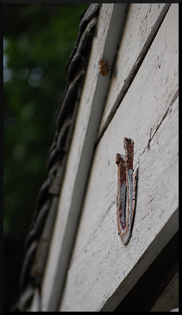
well house bar framed

IMG_1788
CAC024097a
Topographic Map of AR-24, Chidester, AR, USA
Find elevation by address:

Places near AR-24, Chidester, AR, USA:
Bethesda Township
Ouachita County
3192 Ar-24
3192 Ar-24
3192 Ar-24
143 Valley Dr
565 Lakeside Ave
Ecore Fabre Township
264 Harding Ave
Grayson Street
Bluff City
AR-, Bluff City, AR, USA
Ouachita Rd 32, Camden, AR, USA
627 Cleveland Ave Nw
Carroll Township
Camden
Union Township
Automotive Solutions Unlimited
US-, Rosston, AR, USA
Jefferson Township
Recent Searches:
- Elevation of NY-, Friendship, NY, USA
- Elevation of 64 Danakas Dr, Winnipeg, MB R2C 5N7, Canada
- Elevation of 4 Vale Rd, Sheffield S3 9QX, UK
- Elevation of Keene Point Drive, Keene Point Dr, Grant, AL, USA
- Elevation of State St, Zanesville, OH, USA
- Elevation of Austin Stone Dr, Haslet, TX, USA
- Elevation of Bydgoszcz, Poland
- Elevation of Bydgoszcz, Poland
- Elevation of Calais Dr, Del Mar, CA, USA
- Elevation of Placer Mine Ln, West Jordan, UT, USA