Elevation of Cable Corral Road, Cable Corral Rd, California, USA
Location: United States > California > San Luis Obispo County >
Longitude: -120.16333
Latitude: 35.140932
Elevation: 367m / 1204feet
Barometric Pressure: 97KPa
Elevation Map:
Satellite Map:
Related Photos:
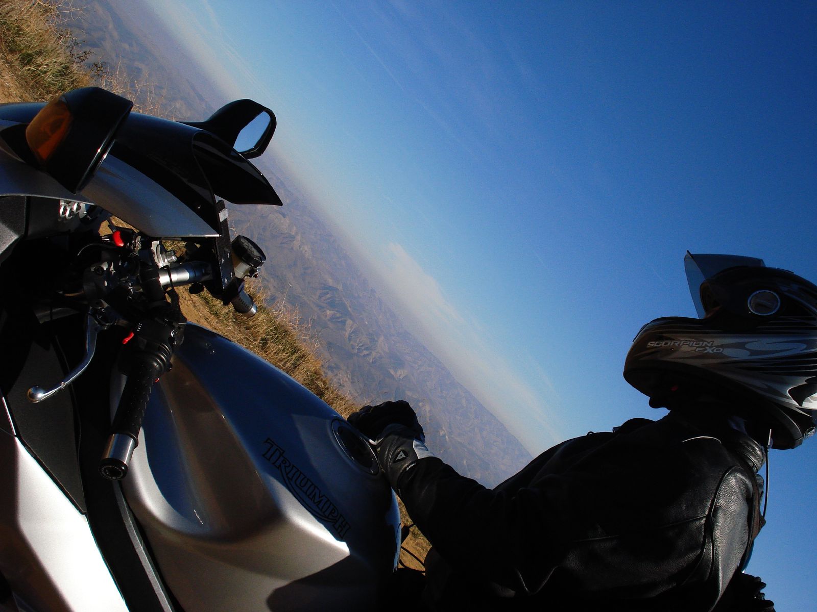
View 1
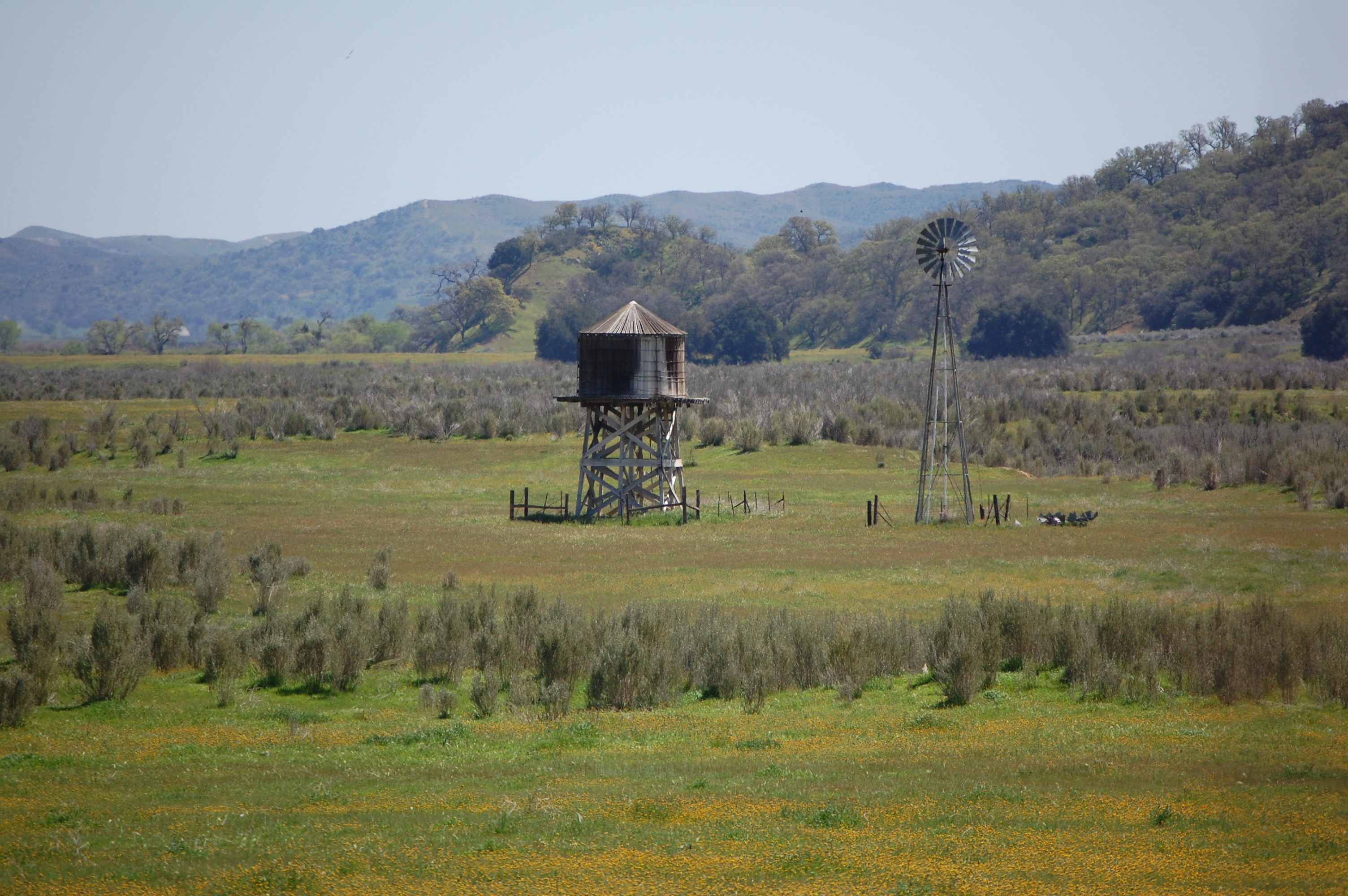
Cuyama Windmill
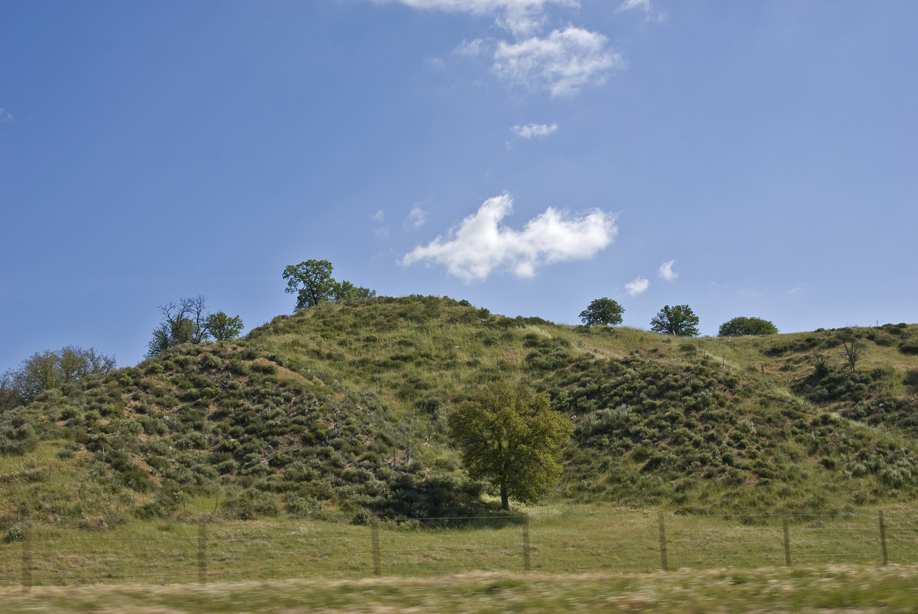
Passing Hills
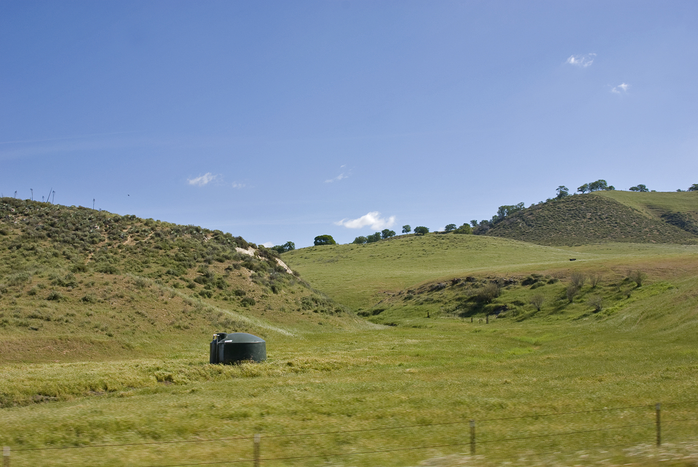
Then would come the time
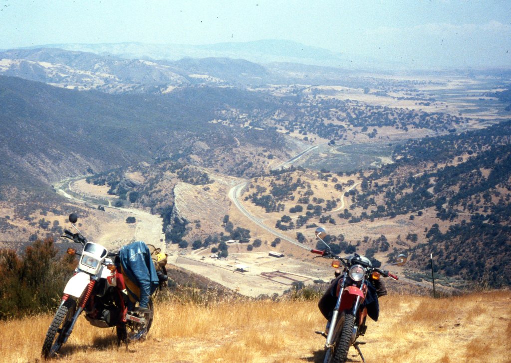
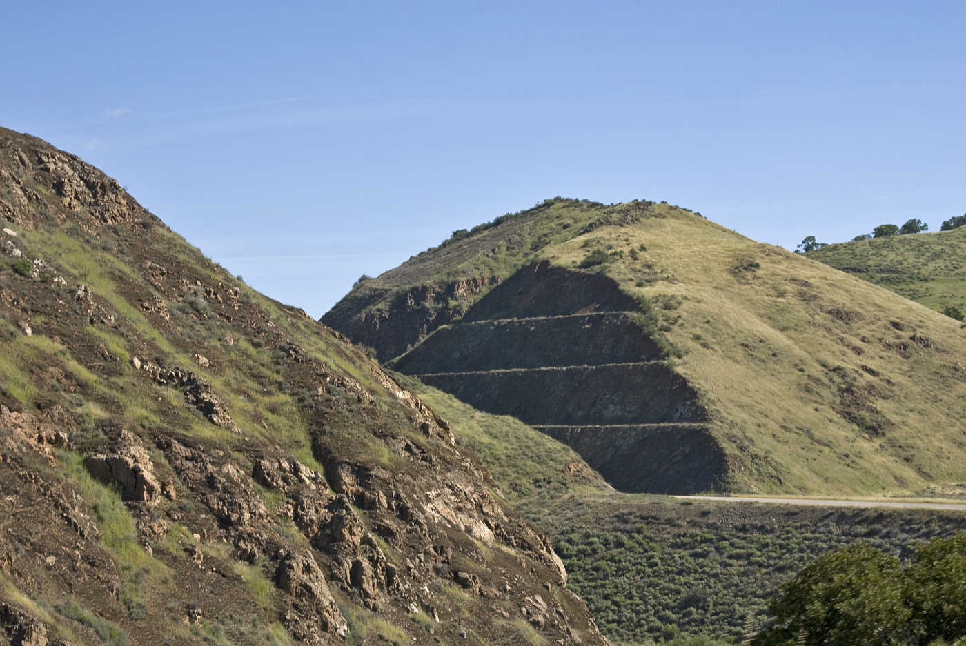
Above Rock Front Ranch on Highway 166, New Cuyama, CA - 1985
Country Road
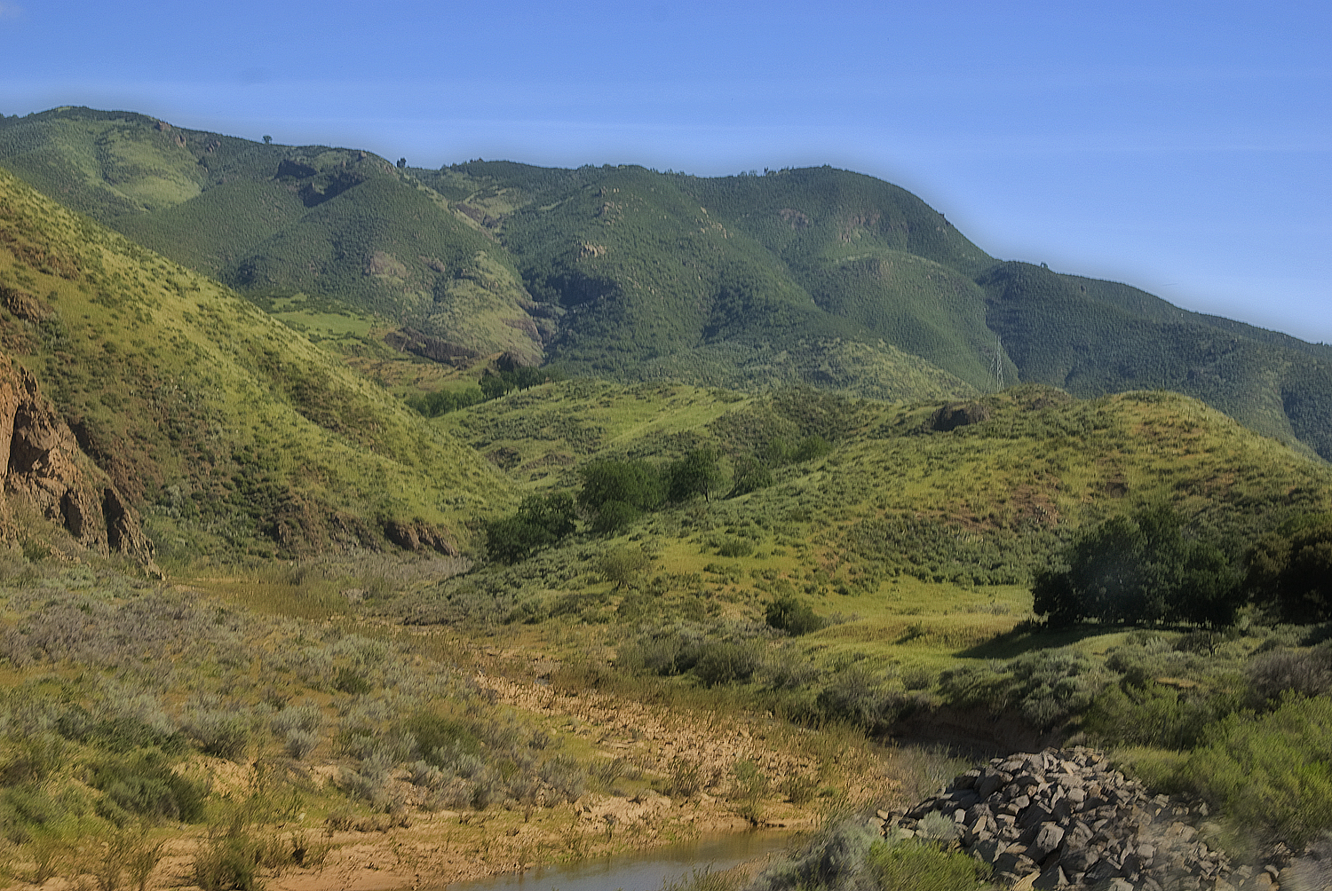
Hills Like Green Elephants
A place called easy
As we passed
Keep Moving On
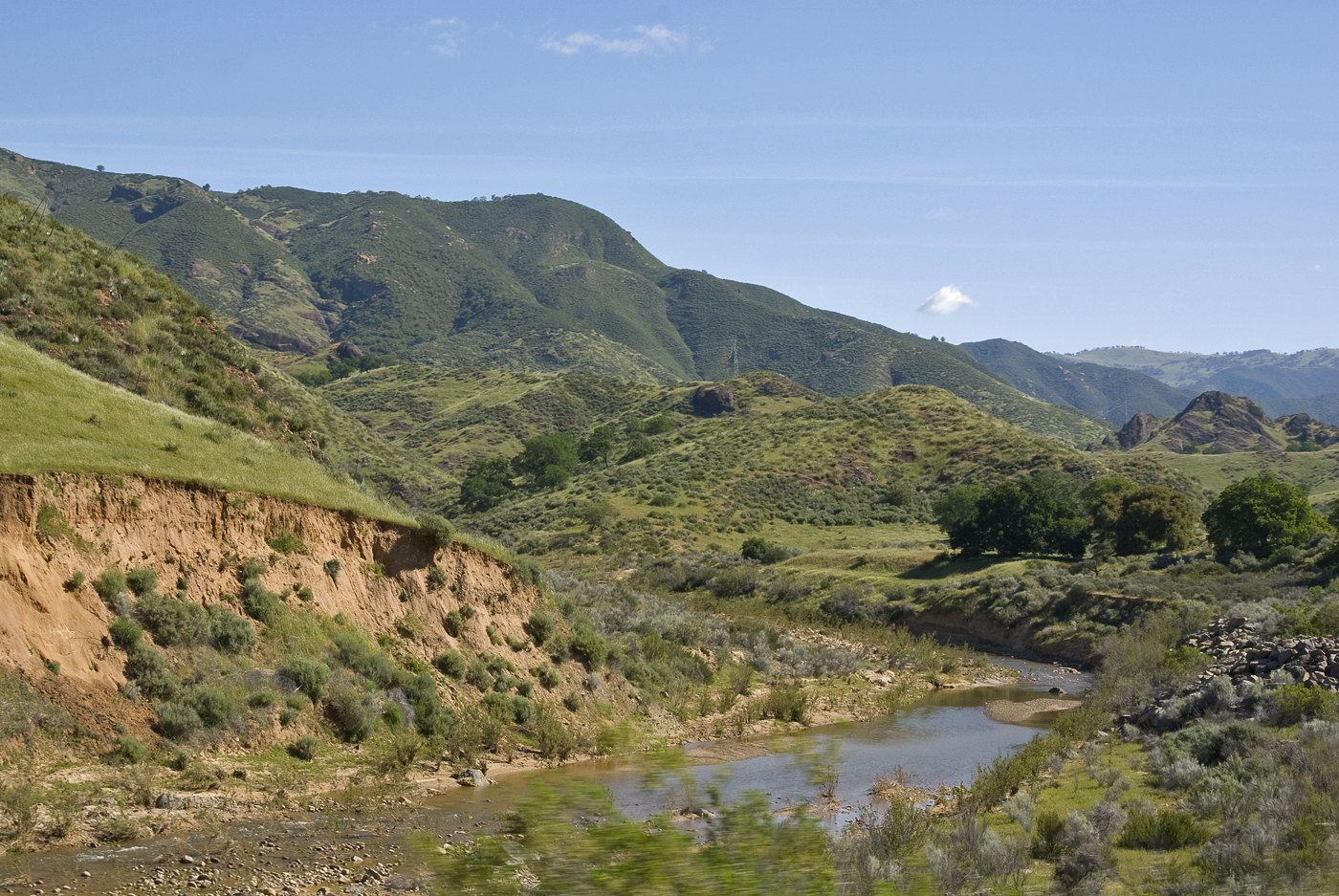
Passing some green
DSC_1112 (Copy)
Topographic Map of Cable Corral Road, Cable Corral Rd, California, USA
Find elevation by address:

Places near Cable Corral Road, Cable Corral Rd, California, USA:
19200 Autumn Rd
Cuyama Hwy & Tepusquet Rd
Tepusquet Road
Twitchell Reservoir
9250 Temettate Dr
9775 Jacob Rd Dr
71 E Main St, Santa Maria, CA, USA
Wicks St, Santa Maria, CA, USA
1720 Horseman Ct
Jones St, Santa Maria, CA, USA
1850 Lauren Ln
722 Brandy Ct
5925 Olivera Canyon Rd
1523 Marilyn Way
1523 Marilyn Way
1502 Marilyn Way
1502 Marilyn Way
Vons
156 E Dana St
Long Canyon Road
Recent Searches:
- Elevation of Keene Point Drive, Keene Point Dr, Grant, AL, USA
- Elevation of State St, Zanesville, OH, USA
- Elevation of Austin Stone Dr, Haslet, TX, USA
- Elevation of Bydgoszcz, Poland
- Elevation of Bydgoszcz, Poland
- Elevation of Calais Dr, Del Mar, CA, USA
- Elevation of Placer Mine Ln, West Jordan, UT, USA
- Elevation of E 63rd St, New York, NY, USA
- Elevation of Elk City, OK, USA
- Elevation of Erika Dr, Windsor, CA, USA