Elevation of Butternut, WI, USA
Location: United States > Wisconsin > Ashland County > Agenda >
Longitude: -90.490446
Latitude: 46.0130088
Elevation: 456m / 1496feet
Barometric Pressure: 96KPa
Elevation Map:
Satellite Map:
Related Photos:

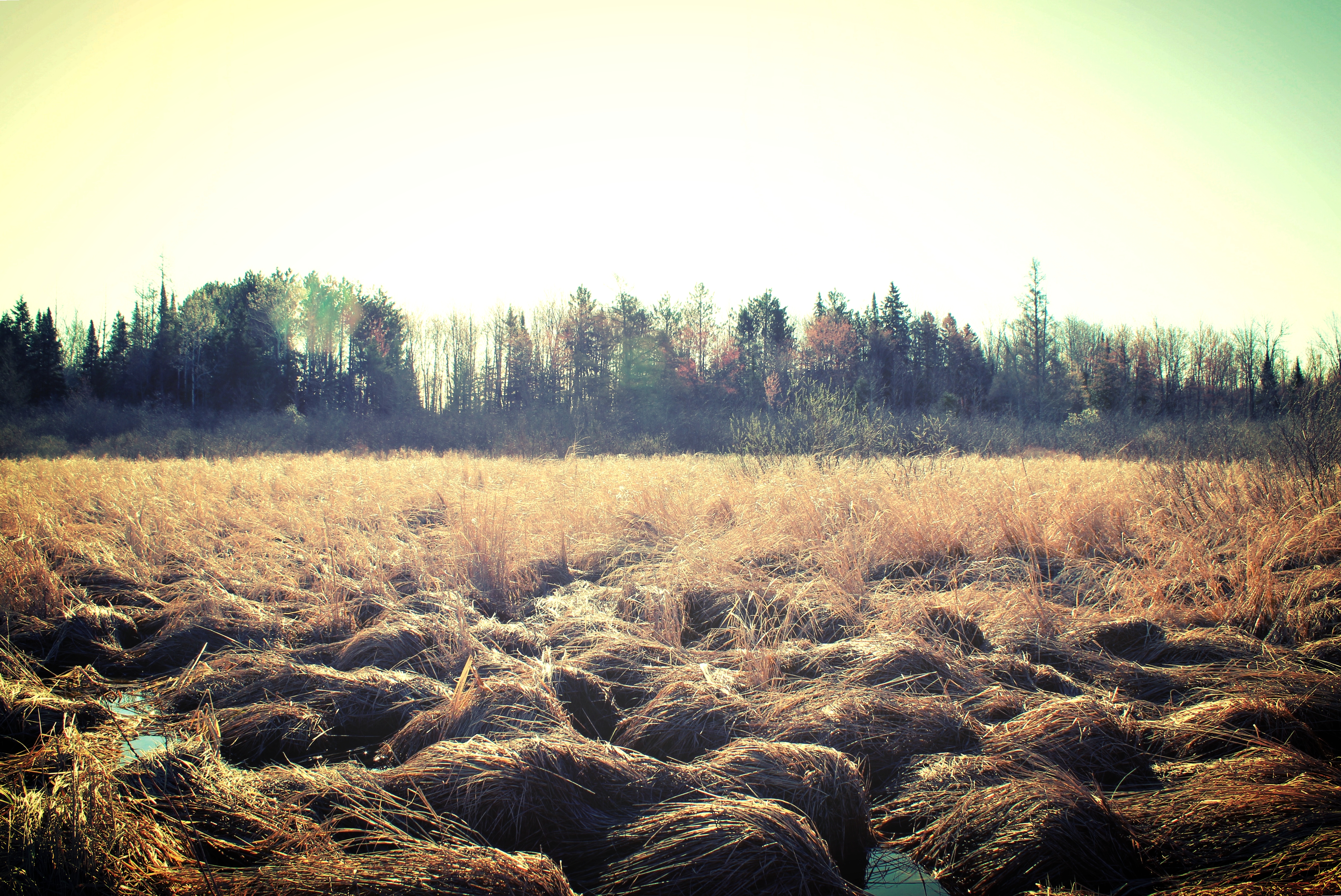
The Gruener Wald (1)

Reflections of Better Days

The Gruener Wald (2)
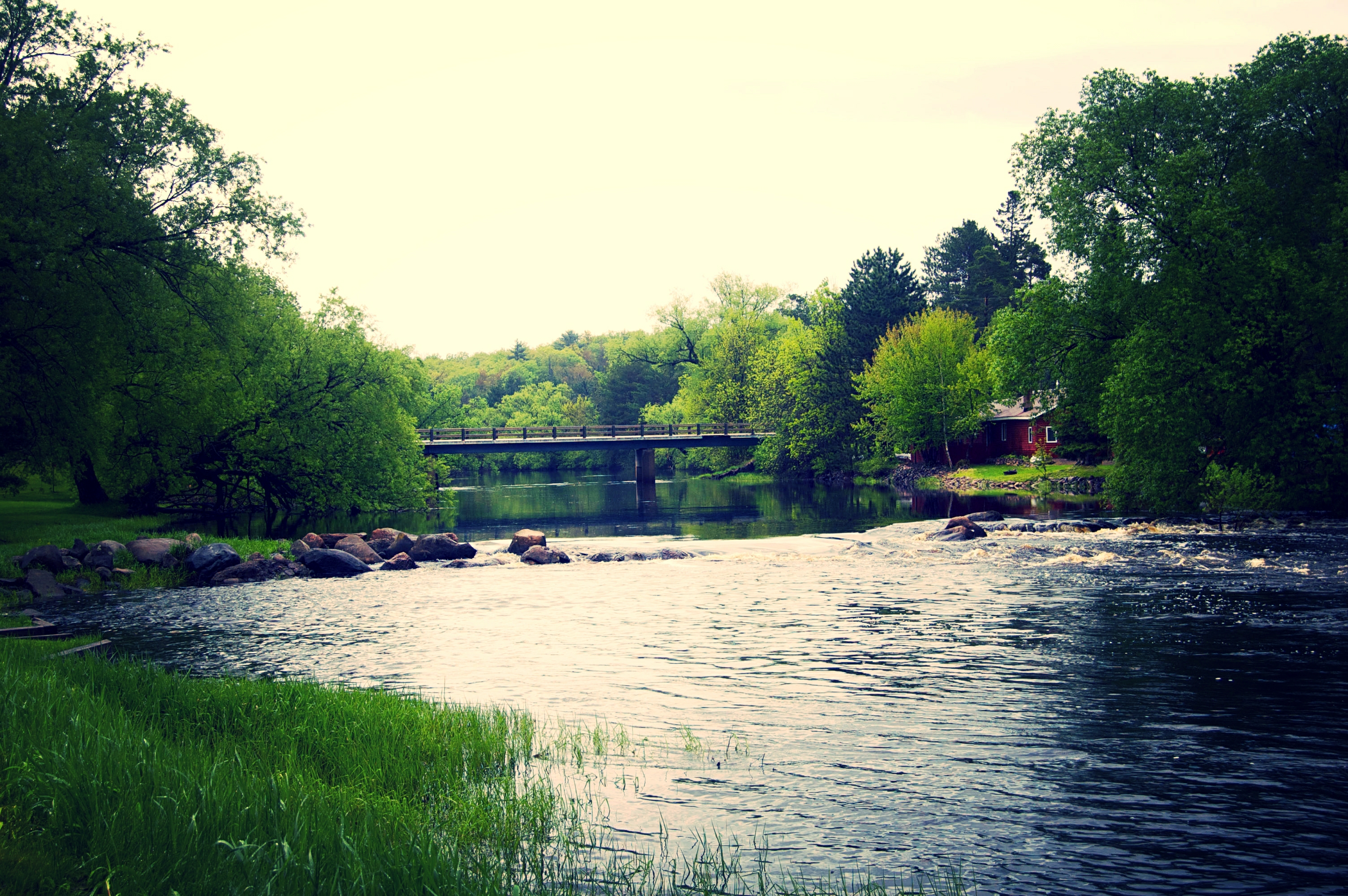
May 30 - Flambeau River South Fork at Movrich Park, Fifield, WI

Park Falls, WI
May 25 - Chippewa River E Fork flooding in Glidden, WI
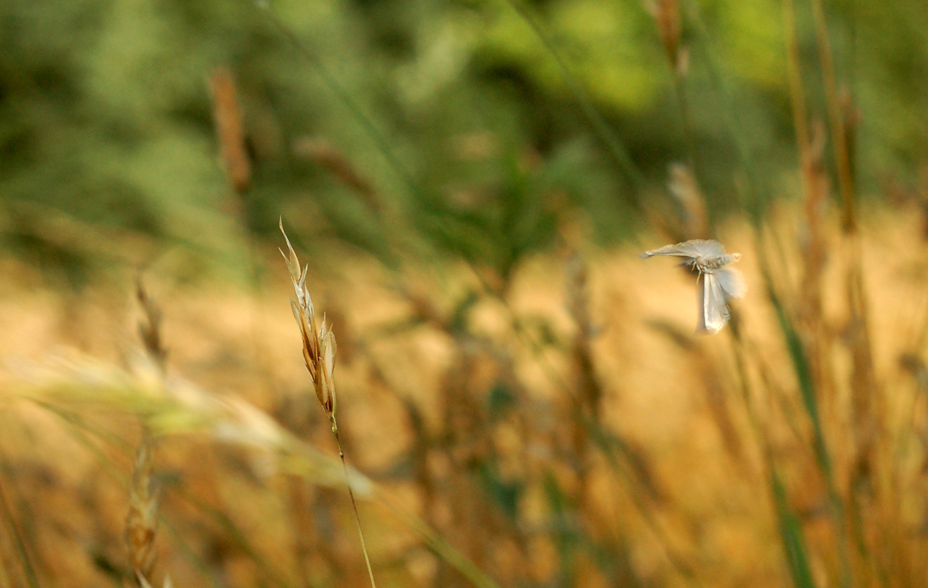
caught in flight
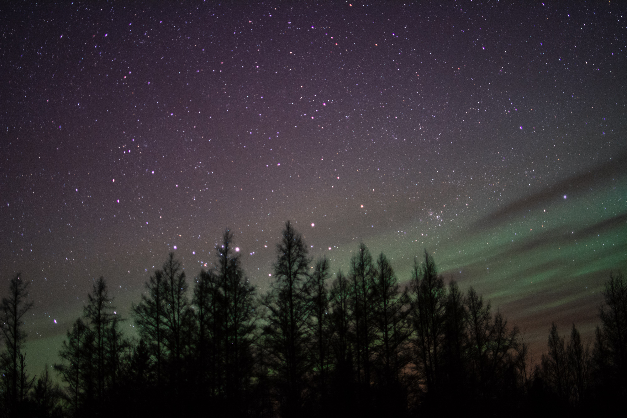
St. Patrick's Day Northern Lights

Danielson's
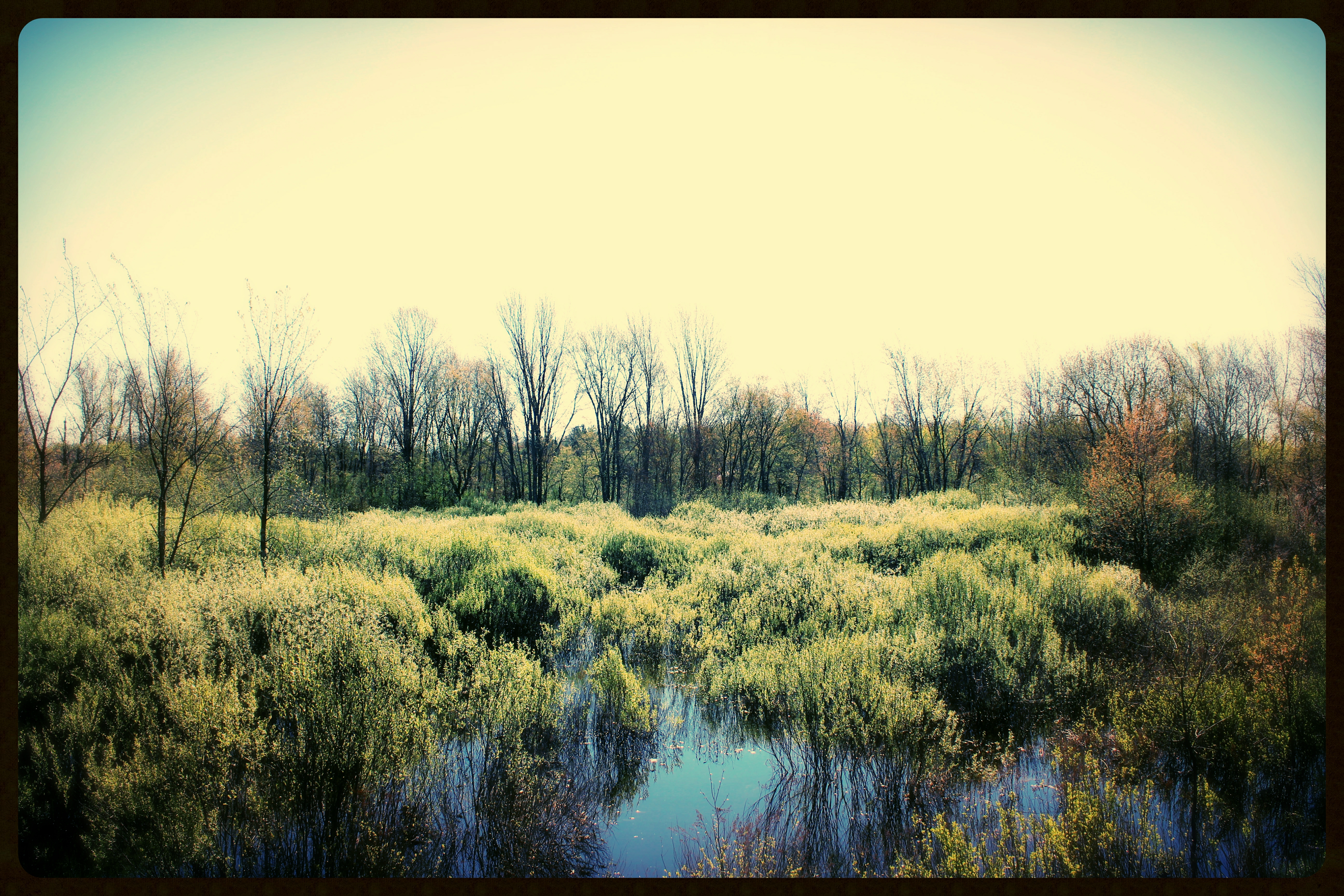
May 11 - Smith Creek bog at Kaley Rd, N of Park Falls, WI

Park Falls, WI
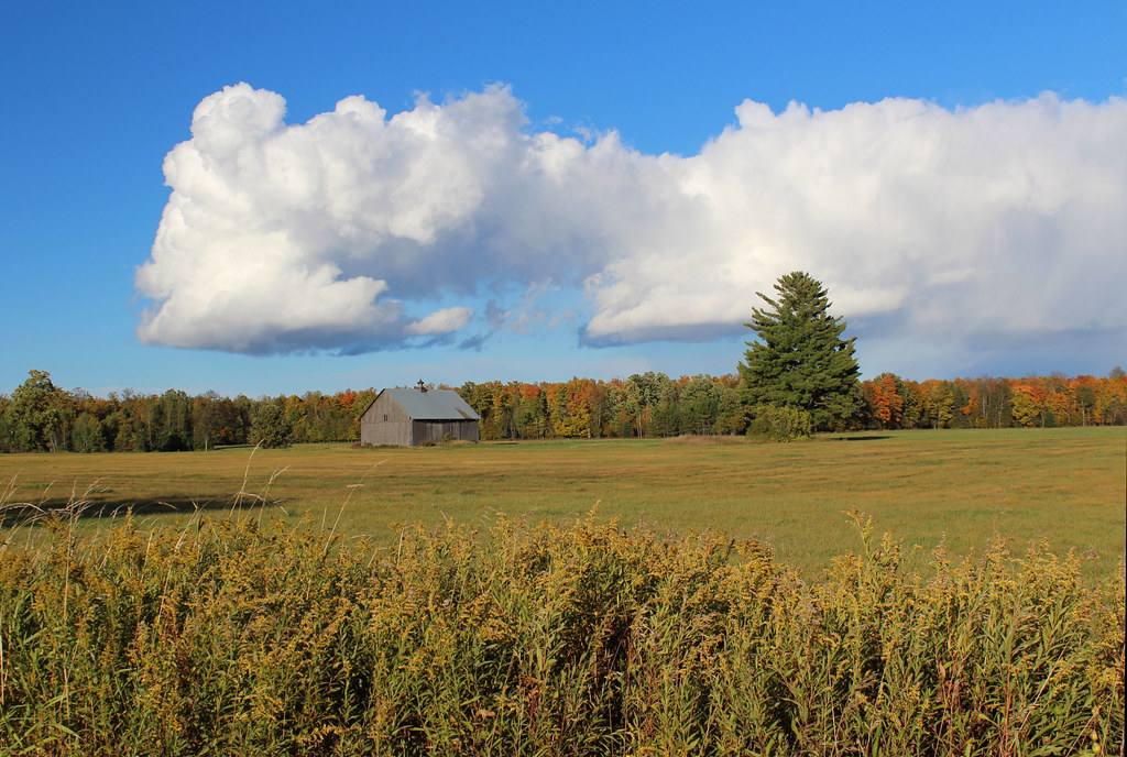
Barn on Hy F - Pete's Landing, WI
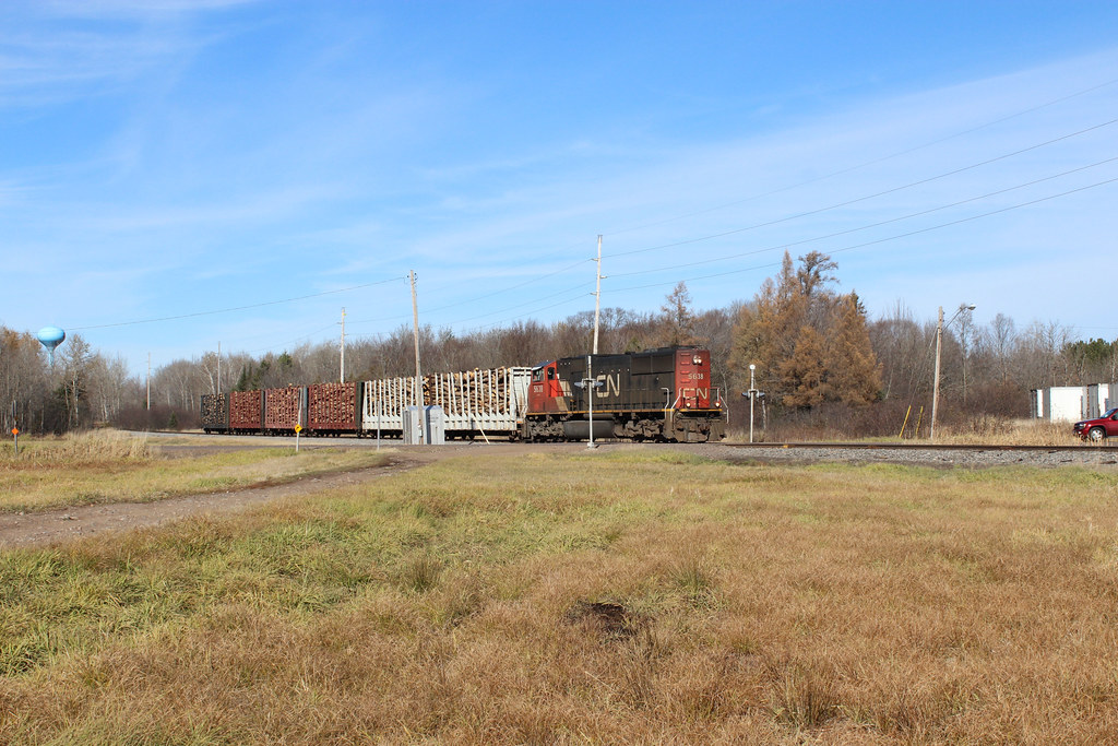
Entering Park Falls,WI
Topographic Map of Butternut, WI, USA
Find elevation by address:

Places in Butternut, WI, USA:
Places near Butternut, WI, USA:
N15537
Meyer Lake Rd, Butternut, WI, USA
Peeksville
Glidden
21123 Kempf Rd
Agenda
Co Rd F, Butternut, WI, USA
Jacobs
Mertig Rd, Glidden, WI, USA
Gordon Lake
Morse
Omearas Road South
Morse Rd, Glidden, WI, USA
Price County
Gordon
Mount Whittlesey
Phillips
Anderson
Lake Dr, Mellen, WI, USA
Mellen
Recent Searches:
- Elevation of Elwyn Dr, Roanoke Rapids, NC, USA
- Elevation of Congressional Dr, Stevensville, MD, USA
- Elevation of Bellview Rd, McLean, VA, USA
- Elevation of Stage Island Rd, Chatham, MA, USA
- Elevation of Shibuya Scramble Crossing, 21 Udagawacho, Shibuya City, Tokyo -, Japan
- Elevation of Jadagoniai, Kaunas District Municipality, Lithuania
- Elevation of Pagonija rock, Kranto 7-oji g. 8"N, Kaunas, Lithuania
- Elevation of Co Rd 87, Jamestown, CO, USA
- Elevation of Tenjo, Cundinamarca, Colombia
- Elevation of Côte-des-Neiges, Montreal, QC H4A 3J6, Canada