Elevation of N 10th Ave, Park Falls, WI, USA
Location: United States > Wisconsin >
Longitude: -90.459498
Latitude: 45.9322651
Elevation: 460m / 1509feet
Barometric Pressure: 96KPa
Elevation Map:
Satellite Map:
Related Photos:

Wintergreen Lake

The Gruener Wald (1)

The Gruener Wald (2)

Wintergreen Lake
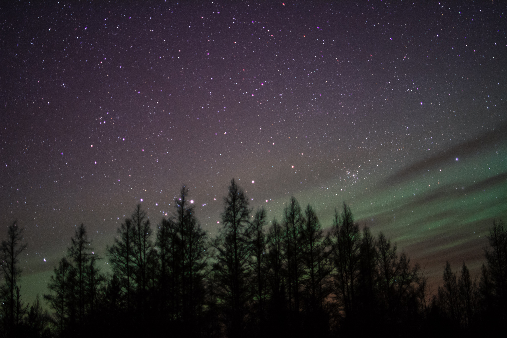
St. Patrick's Day Northern Lights

Danielson's
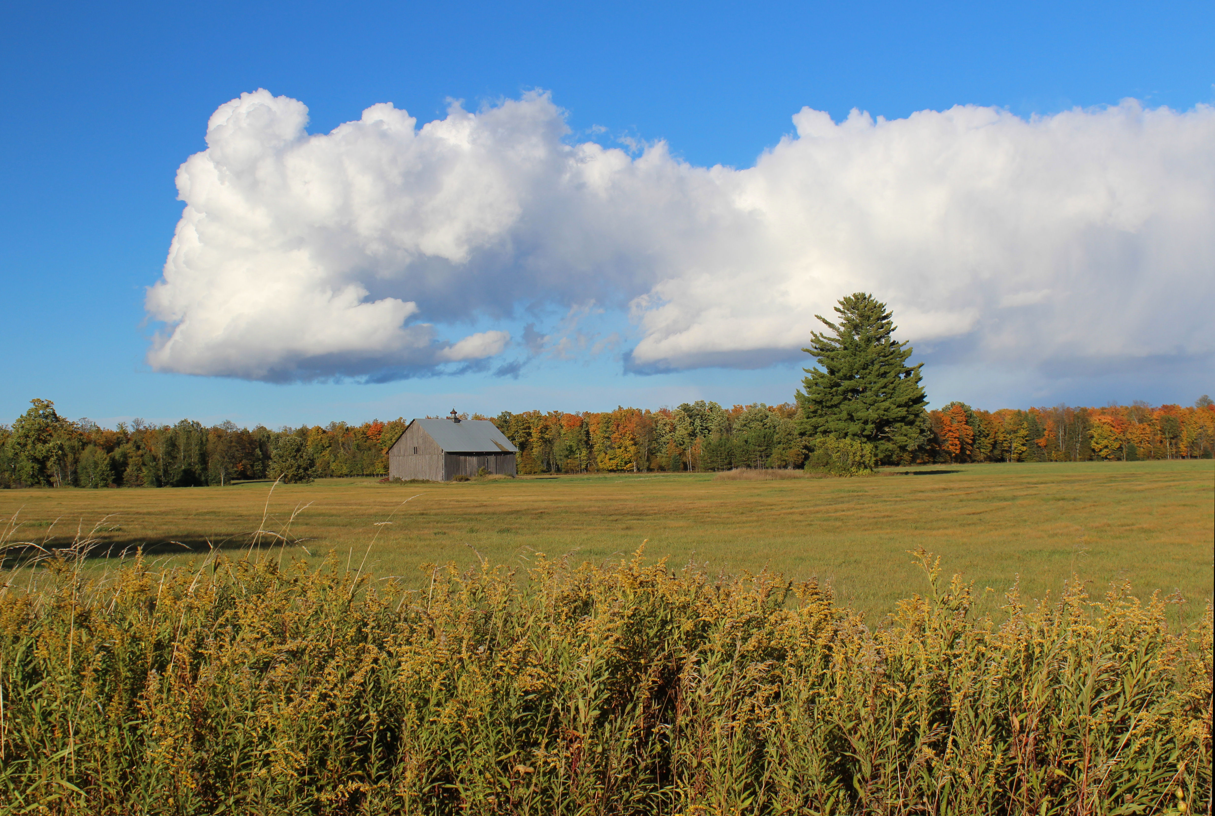
Barn on Hy F - Pete's Landing, WI

May 11 - Smith Creek bog at Kaley Rd, N of Park Falls, WI

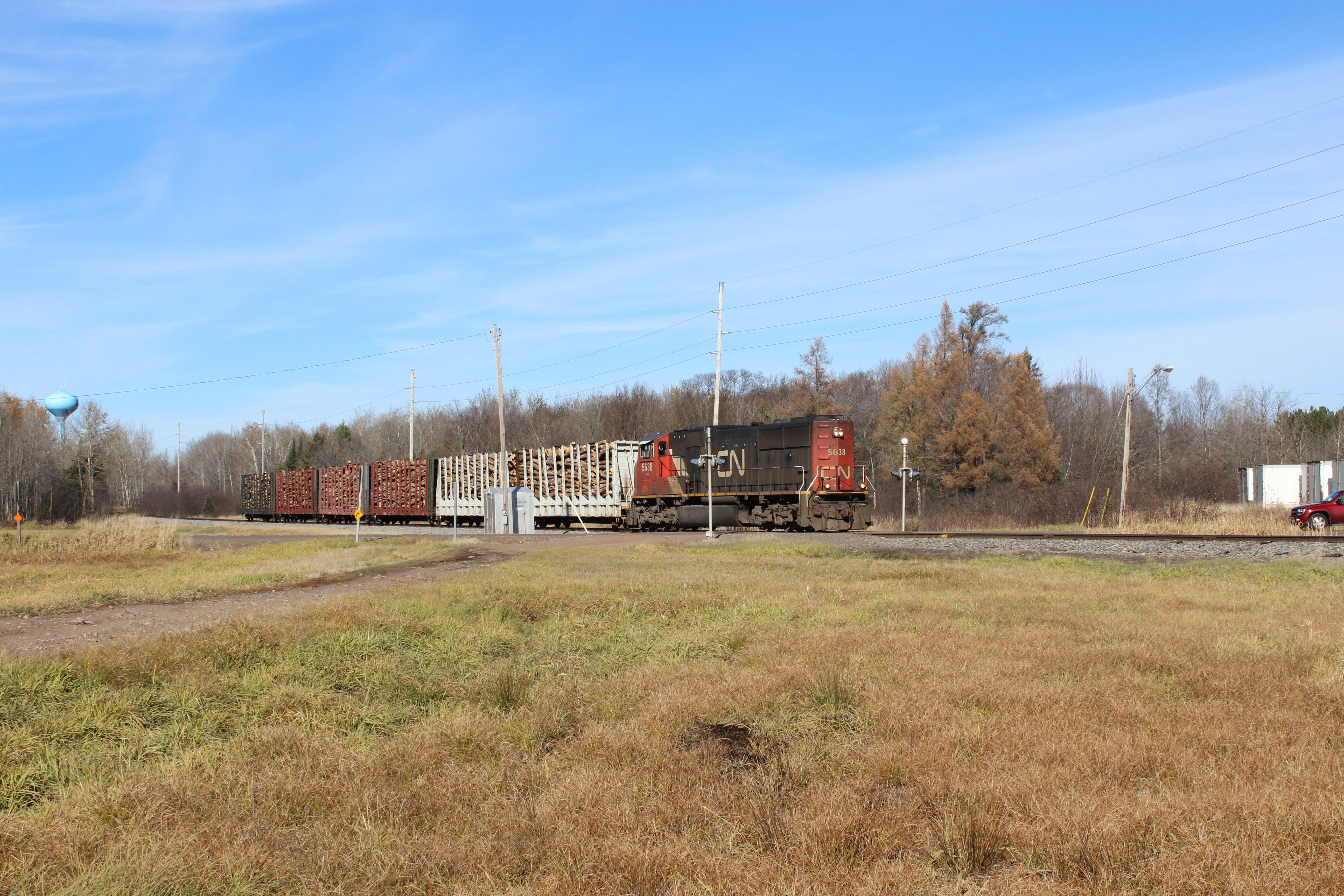
Park Falls, WI

Park Falls, WI
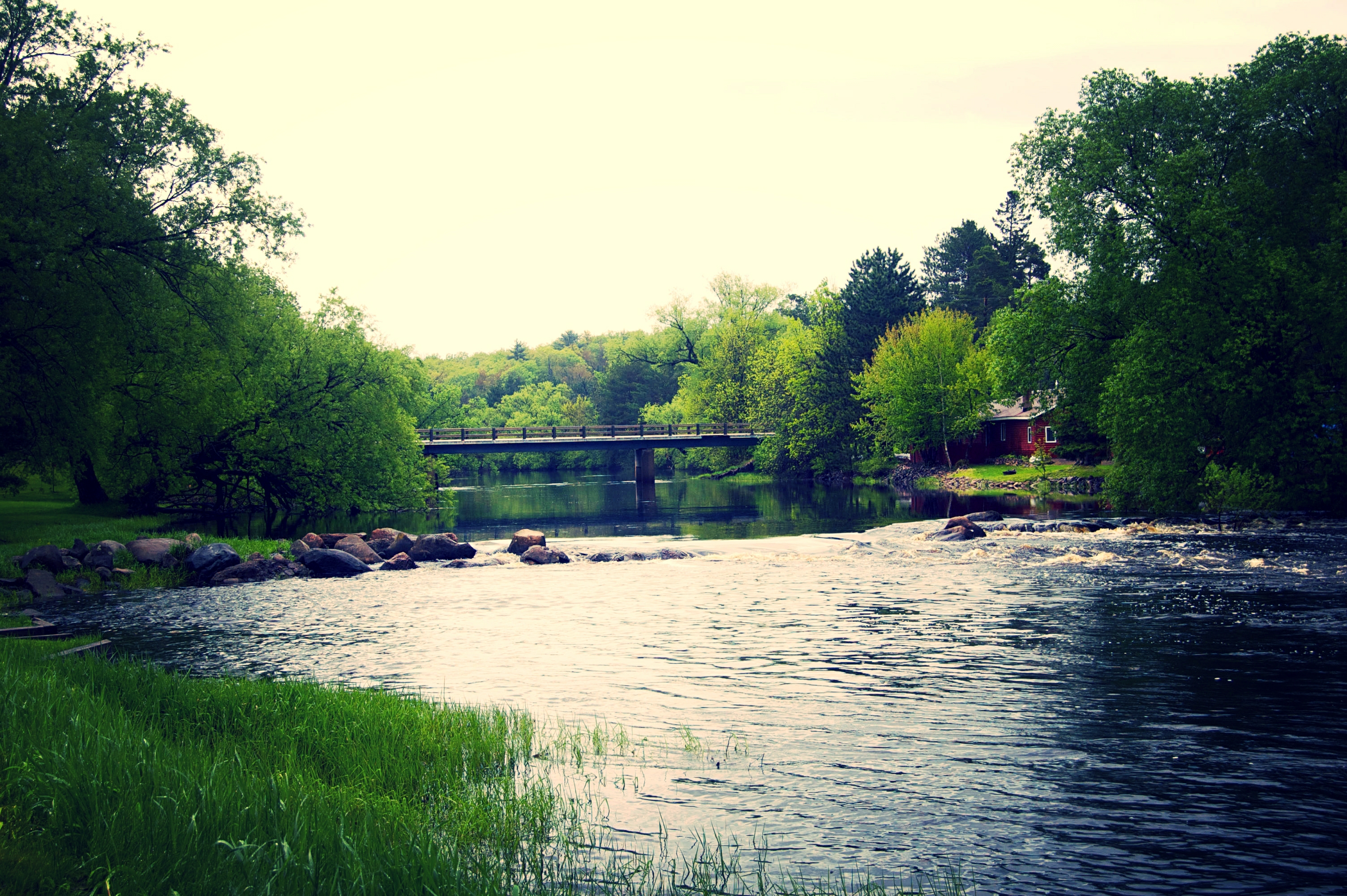
May 30 - Flambeau River South Fork at Movrich Park, Fifield, WI

caught in flight
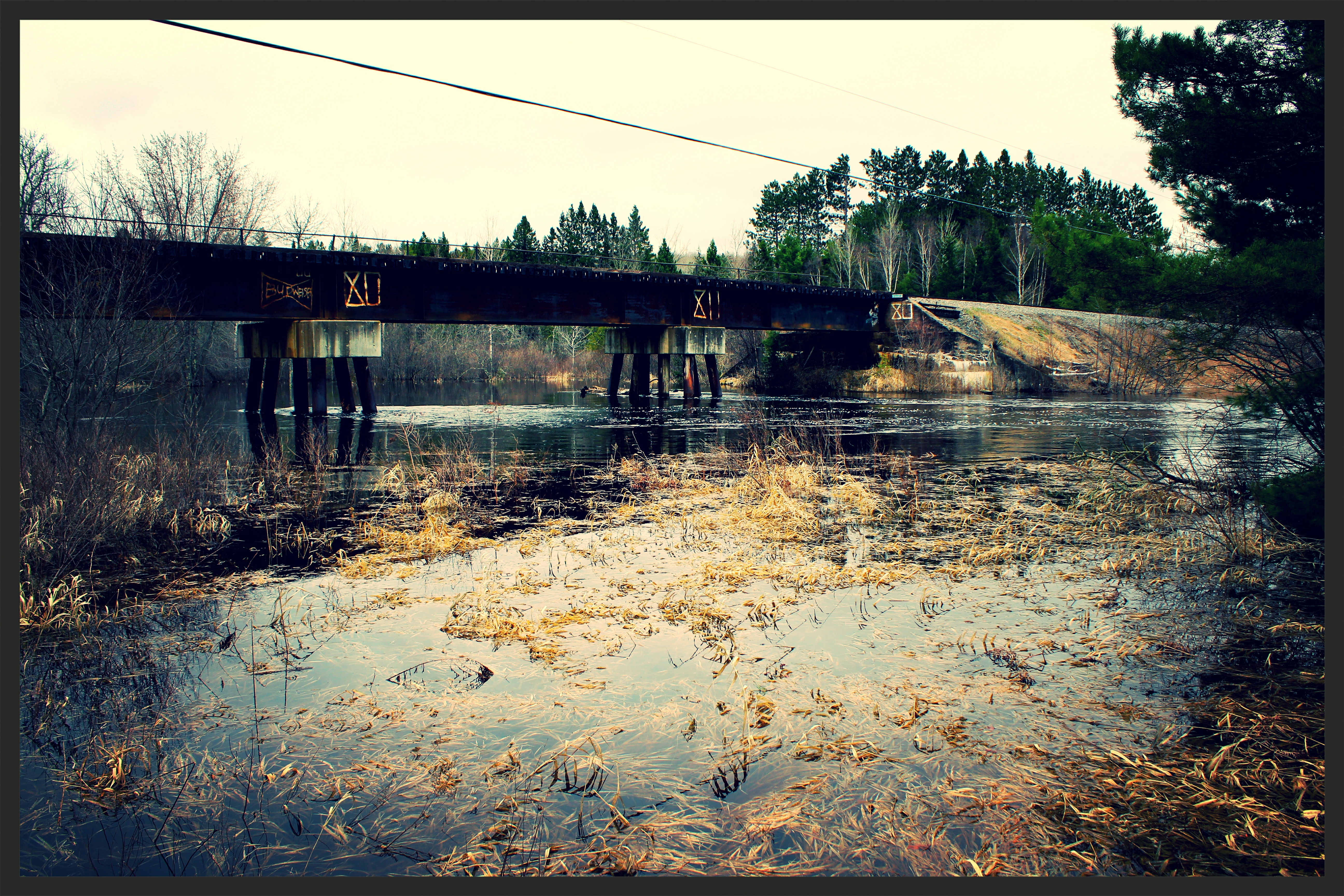
May 1 - W Central Ave. Rail Bridge in Fifield, WI
Entering Park Falls,WI
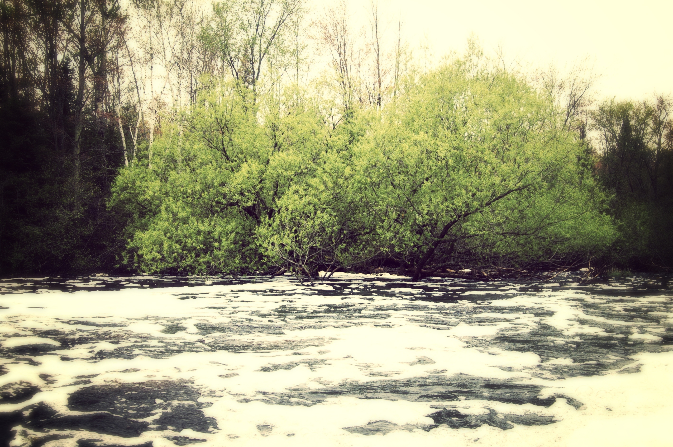
May 22 - Live tree in foamy Sailor Creek off Dam Rd, SE of Fifield, WI

Northwoods Backyard
Topographic Map of N 10th Ave, Park Falls, WI, USA
Find elevation by address:

Places near N 10th Ave, Park Falls, WI, USA:
Butternut
Co Rd F, Butternut, WI, USA
Price County
Meyer Lake Rd, Butternut, WI, USA
Peeksville
Agenda
Glidden
21123 Kempf Rd
Phillips
Mertig Rd, Glidden, WI, USA
Omearas Road South
Jacobs
Gordon Lake
Morse
Morse Rd, Glidden, WI, USA
Draper
Gordon
Sherman
3786 Nw Wilson Lake Cir
3747 Wilson Lake Dr
Recent Searches:
- Elevation of Felindre, Swansea SA5 7LU, UK
- Elevation of Leyte Industrial Development Estate, Isabel, Leyte, Philippines
- Elevation of W Granada St, Tampa, FL, USA
- Elevation of Pykes Down, Ivybridge PL21 0BY, UK
- Elevation of Jalan Senandin, Lutong, Miri, Sarawak, Malaysia
- Elevation of Bilohirs'k
- Elevation of 30 Oak Lawn Dr, Barkhamsted, CT, USA
- Elevation of Luther Road, Luther Rd, Auburn, CA, USA
- Elevation of Unnamed Road, Respublika Severnaya Osetiya — Alaniya, Russia
- Elevation of Verkhny Fiagdon, North Ossetia–Alania Republic, Russia