Elevation of Buttermilk Rd, Russellville, AR, USA
Location: United States > Arkansas > Pope County >
Longitude: -92.896636
Latitude: 35.3873279
Elevation: 125m / 410feet
Barometric Pressure: 100KPa
Elevation Map:
Satellite Map:
Related Photos:
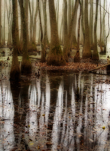
Goose Pond
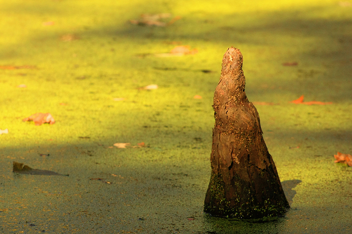
Goose Pond - Cypress Knee

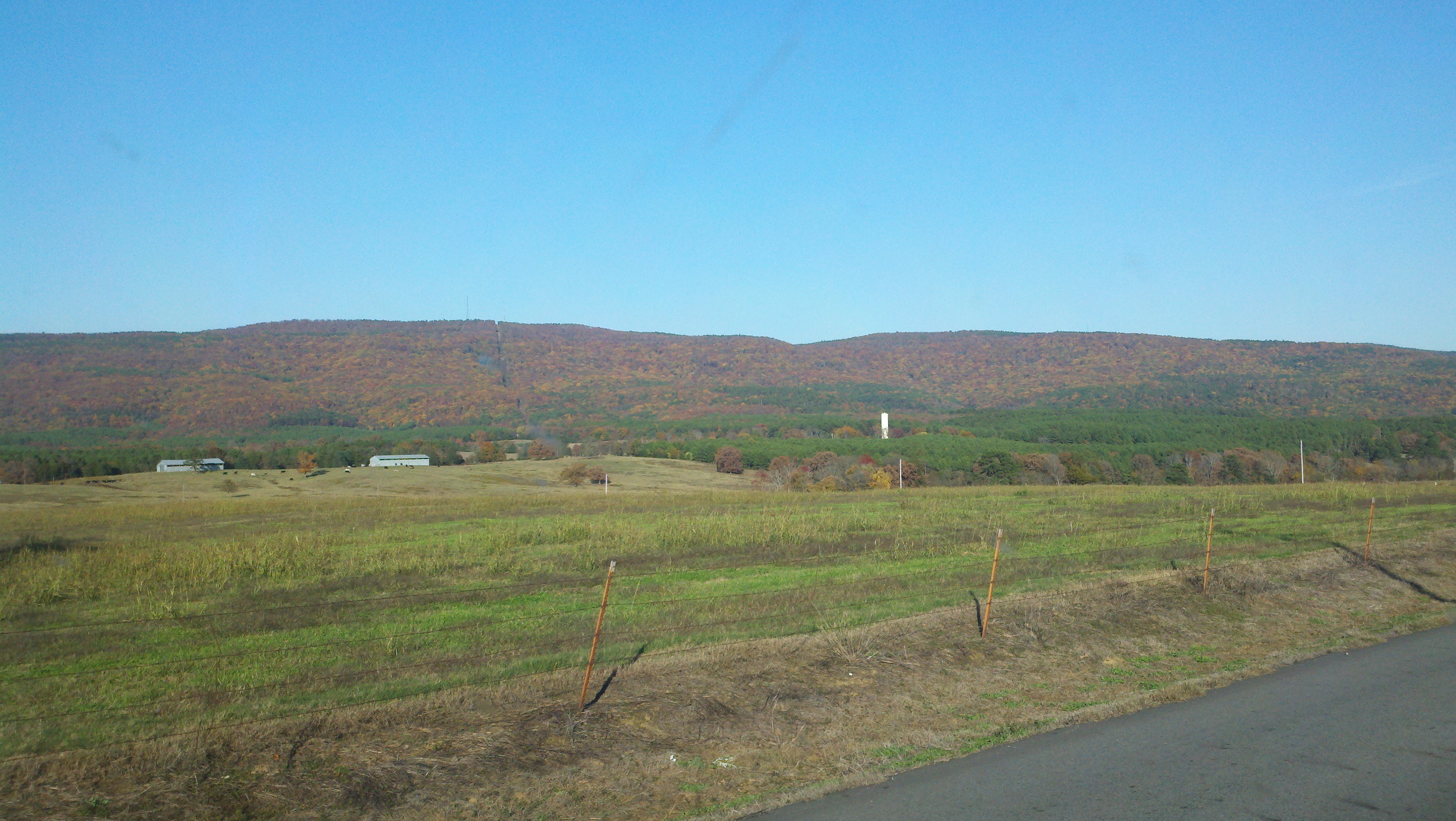
Bayou Bluff Campground - Breeze
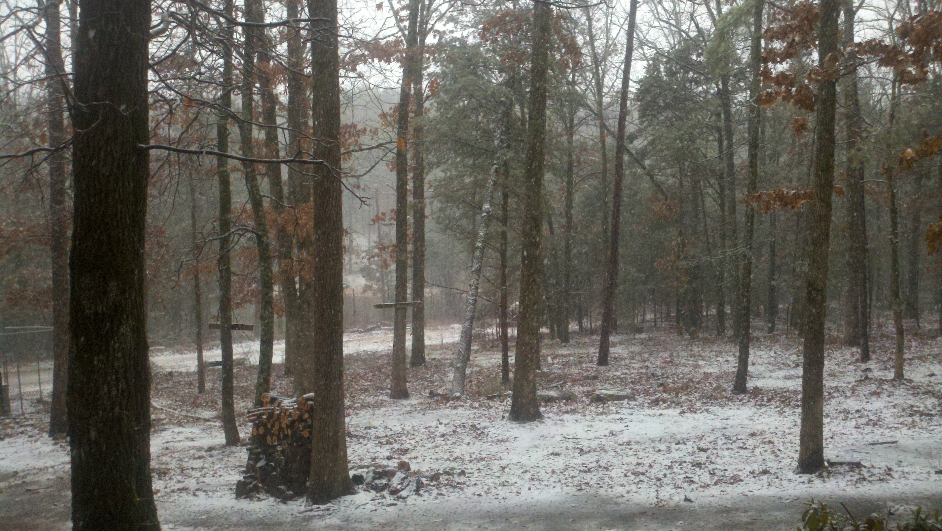
Bayou Bluff Campground - Change
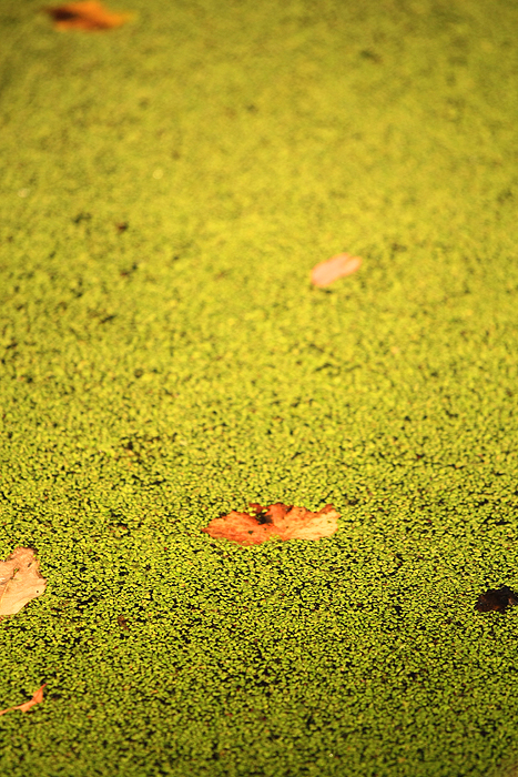
Goose Pond - Solid Water 2
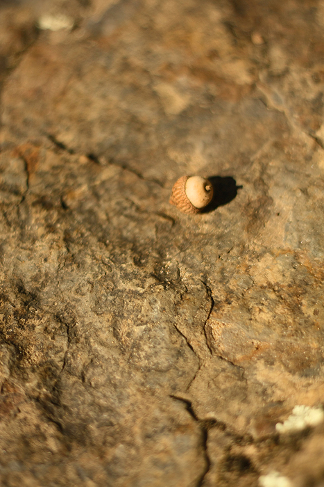
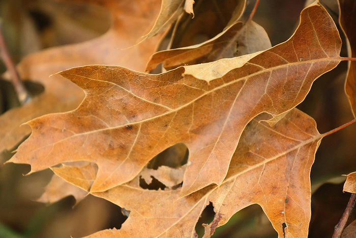
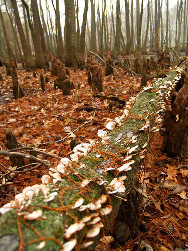
Bayou Bluff Campground - Acorn

Isabell Creek-Side View
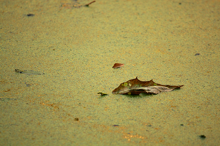
Goose Pond - Solid Water
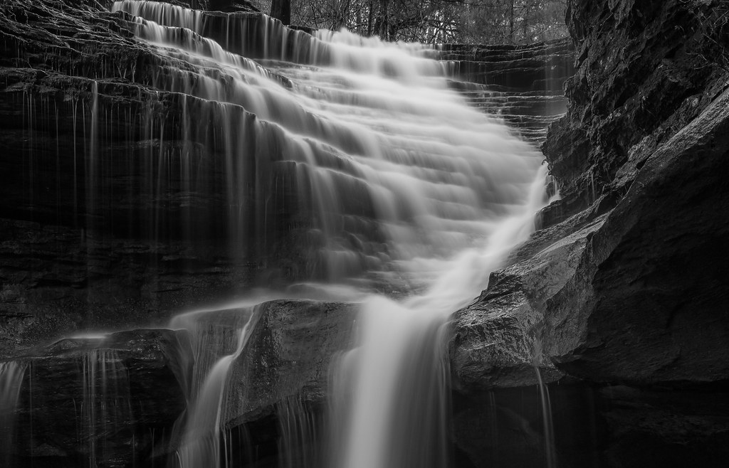
Ladder Bucket Falls (the top half)
Morning in the Blue Hole
Goose Pond

ray of light
2014-02-02 11.09.09
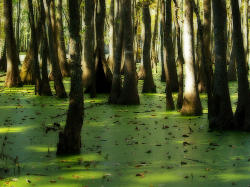
Goose Pond
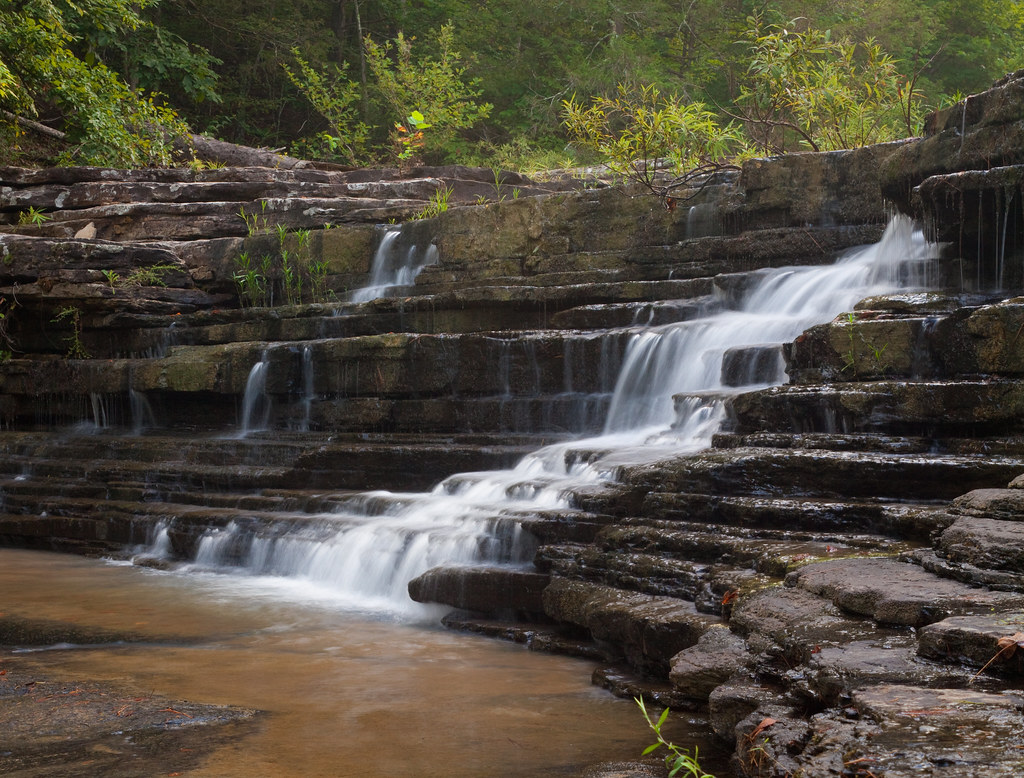
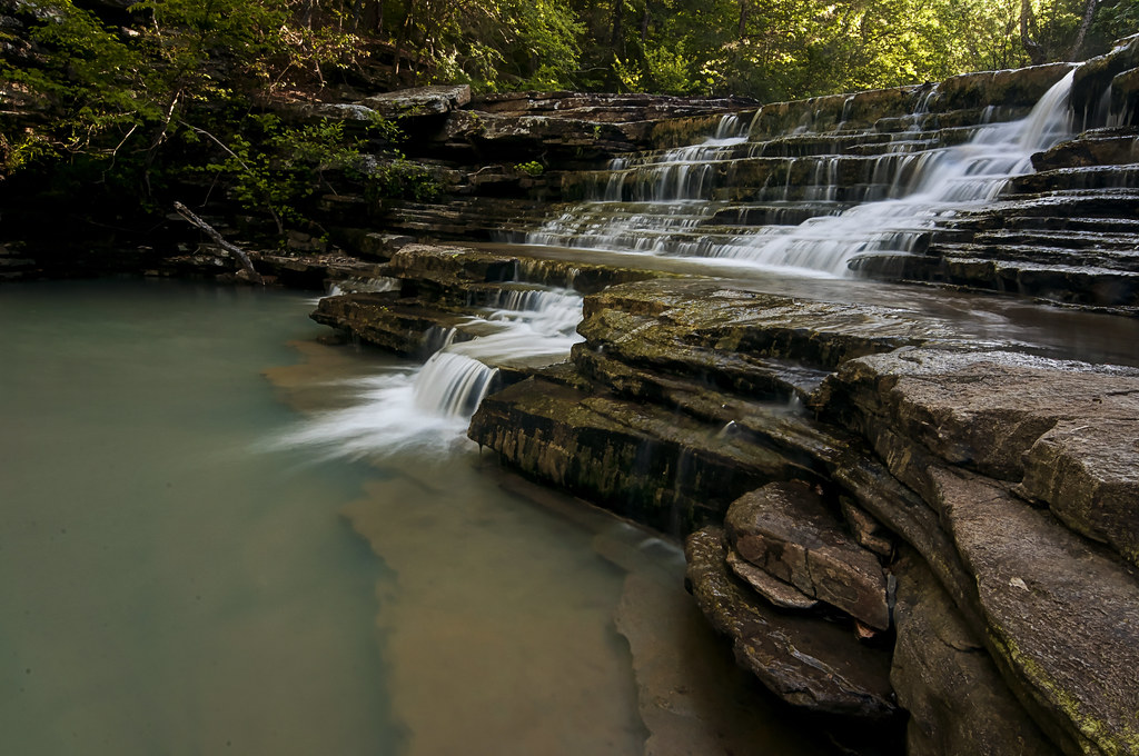
nature's staircase
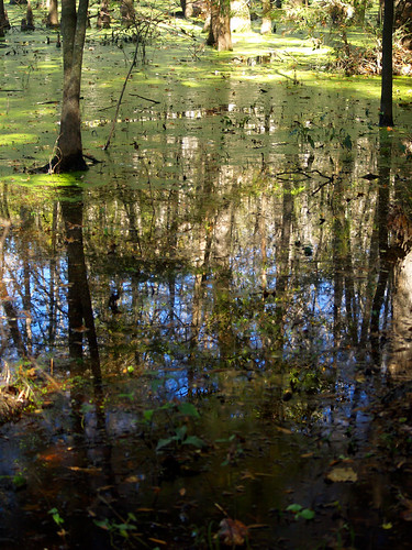
Goose Pond
2013-11-11 15.31.01
Topographic Map of Buttermilk Rd, Russellville, AR, USA
Find elevation by address:

Places near Buttermilk Rd, Russellville, AR, USA:
Griffin Township
Appleton
3 Ar-124
Center Township
AR-, Russellville, AR, USA
Jerusalem
Jerusalem Rd, Jerusalem, AR, USA
Hector
Pope County
Jackson Township
AR-27, Hector, AR, USA
Scottsville
Liberty Township
Broomfield Rd, Dover, AR, USA
Market St, Dover, AR, USA
Dover
Dover Township
Larue Ridge Road
671 Rushing Rd
Tater Knob
Recent Searches:
- Elevation of 7 Waterfall Way, Tomball, TX, USA
- Elevation of SW 57th Ave, Portland, OR, USA
- Elevation of Crocker Dr, Vacaville, CA, USA
- Elevation of Pu Ngaol Community Meeting Hall, HWHM+3X7, Krong Saen Monourom, Cambodia
- Elevation of Royal Ontario Museum, Queens Park, Toronto, ON M5S 2C6, Canada
- Elevation of Groblershoop, South Africa
- Elevation of Power Generation Enterprises | Industrial Diesel Generators, Oak Ave, Canyon Country, CA, USA
- Elevation of Chesaw Rd, Oroville, WA, USA
- Elevation of N, Mt Pleasant, UT, USA
- Elevation of 6 Rue Jules Ferry, Beausoleil, France