Elevation of AR-, Russellville, AR, USA
Location: United States > Arkansas > Pope County > Center Township >
Longitude: -92.964724
Latitude: 35.393806
Elevation: 231m / 758feet
Barometric Pressure: 99KPa
Elevation Map:
Satellite Map:
Related Photos:

Bayou Bluff Campground - Breeze
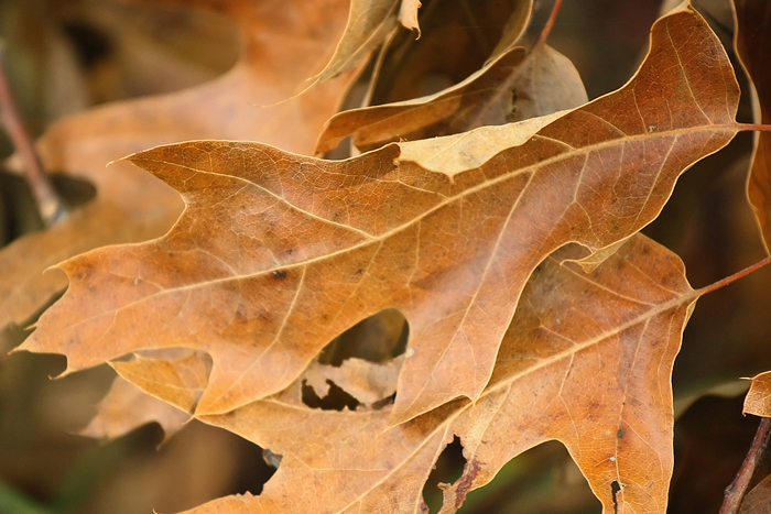
Bayou Bluff Campground - Change
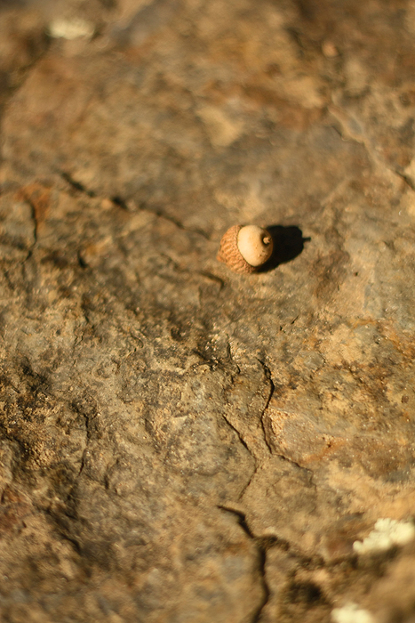
Bayou Bluff Campground - Acorn
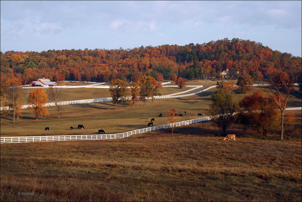
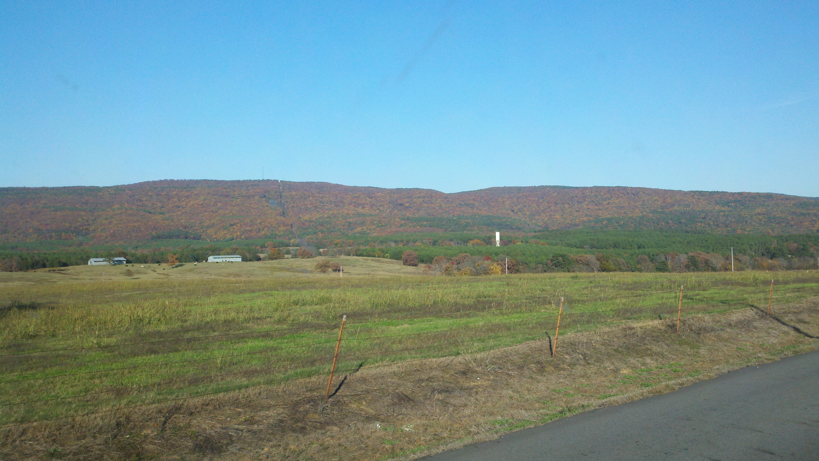
Cattle Ranch Outside Russellville (9893a)

Isabell Creek-Side View
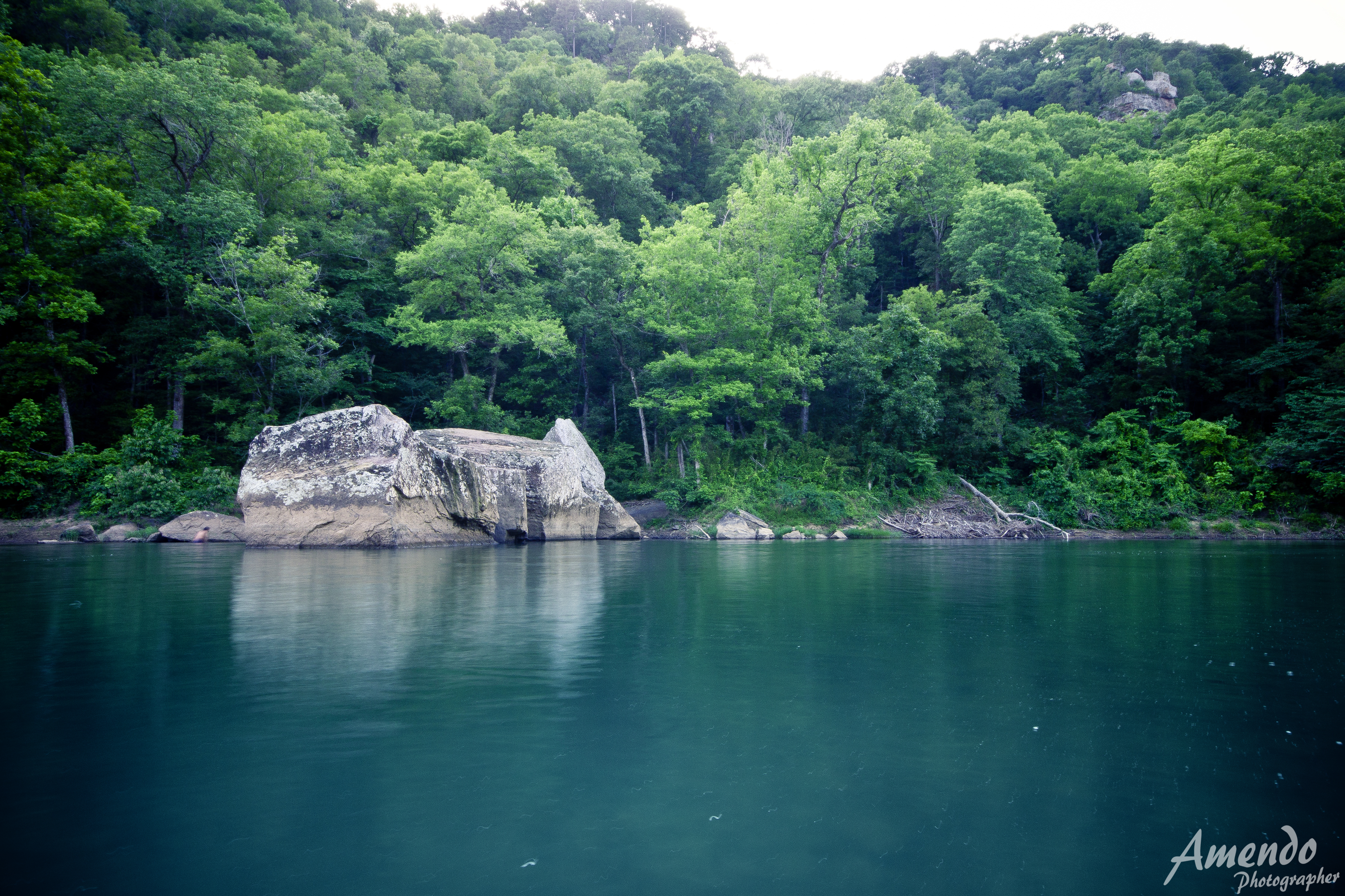
Long Pool

ray of light
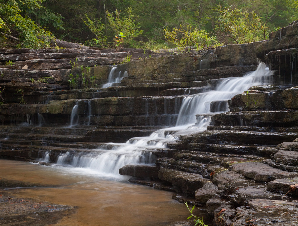
nature's staircase
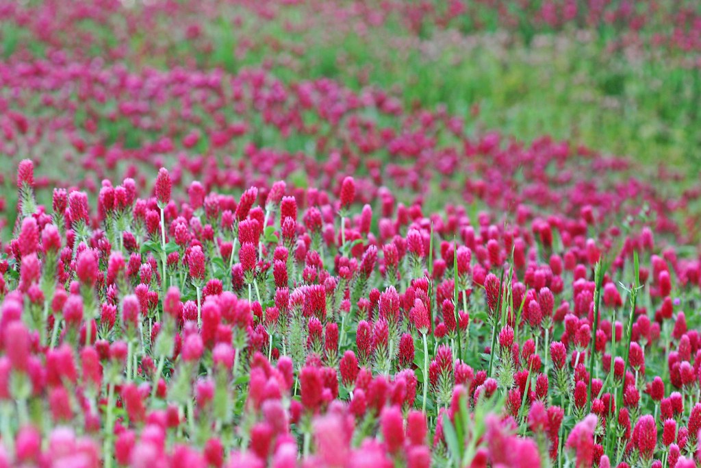
Crimson Clover Sea
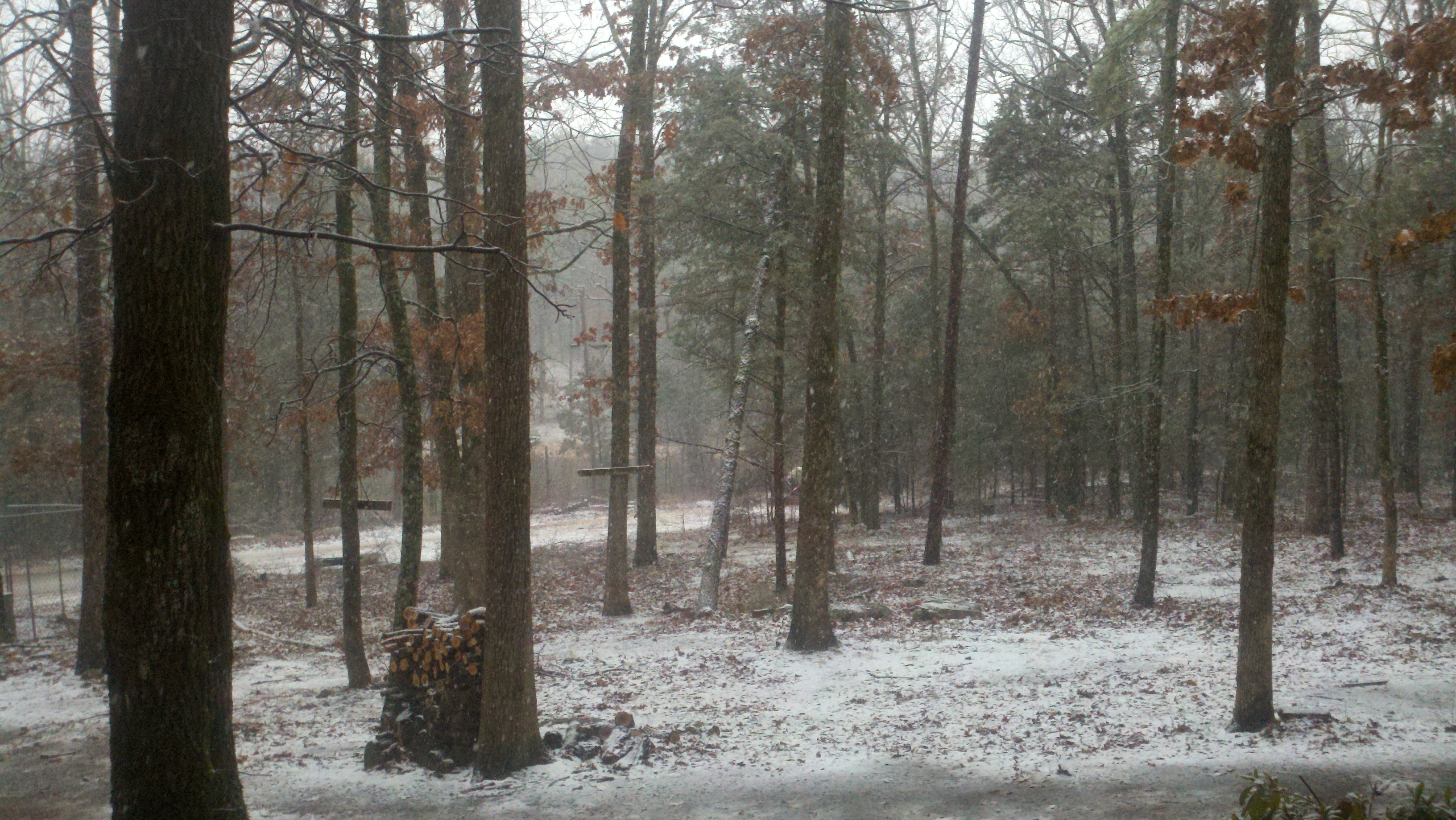
2014-02-02 11.09.09
2013-11-11 15.31.01
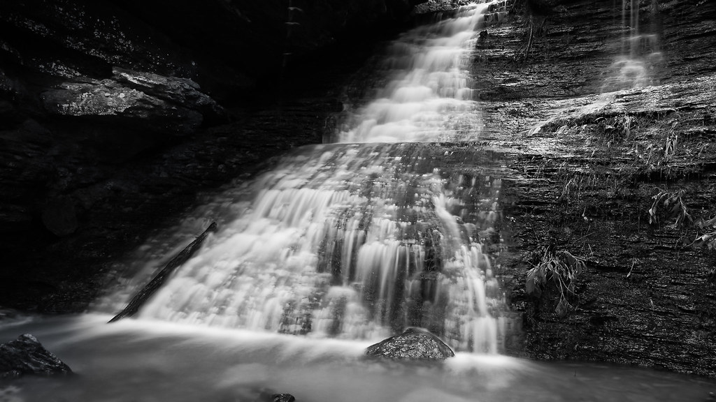
Green Grotto Falls
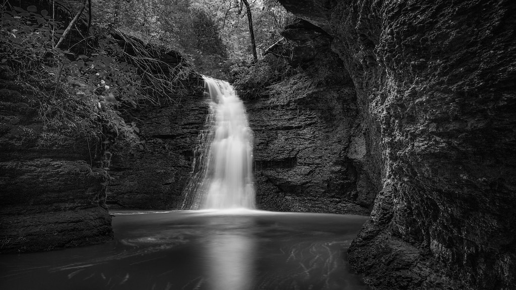
Unnamed Falls b/w
Topographic Map of AR-, Russellville, AR, USA
Find elevation by address:

Places near AR-, Russellville, AR, USA:
Center Township
Buttermilk Rd, Russellville, AR, USA
Pope County
Hector
Griffin Township
Appleton
AR-27, Hector, AR, USA
Scottsville
Jackson Township
3 Ar-124
Liberty Township
Broomfield Rd, Dover, AR, USA
Jerusalem
Market St, Dover, AR, USA
Dover
Jerusalem Rd, Jerusalem, AR, USA
Dover Township
Larue Ridge Road
671 Rushing Rd
Tater Knob
Recent Searches:
- Elevation of 7 Waterfall Way, Tomball, TX, USA
- Elevation of SW 57th Ave, Portland, OR, USA
- Elevation of Crocker Dr, Vacaville, CA, USA
- Elevation of Pu Ngaol Community Meeting Hall, HWHM+3X7, Krong Saen Monourom, Cambodia
- Elevation of Royal Ontario Museum, Queens Park, Toronto, ON M5S 2C6, Canada
- Elevation of Groblershoop, South Africa
- Elevation of Power Generation Enterprises | Industrial Diesel Generators, Oak Ave, Canyon Country, CA, USA
- Elevation of Chesaw Rd, Oroville, WA, USA
- Elevation of N, Mt Pleasant, UT, USA
- Elevation of 6 Rue Jules Ferry, Beausoleil, France