Elevation of Burnt Timber Circle, Burnt Timber Cir, Colorado, USA
Location: United States > Colorado > Cotopaxi >
Longitude: -105.68538
Latitude: 38.4767606
Elevation: 2565m / 8415feet
Barometric Pressure: 74KPa
Elevation Map:
Satellite Map:
Related Photos:
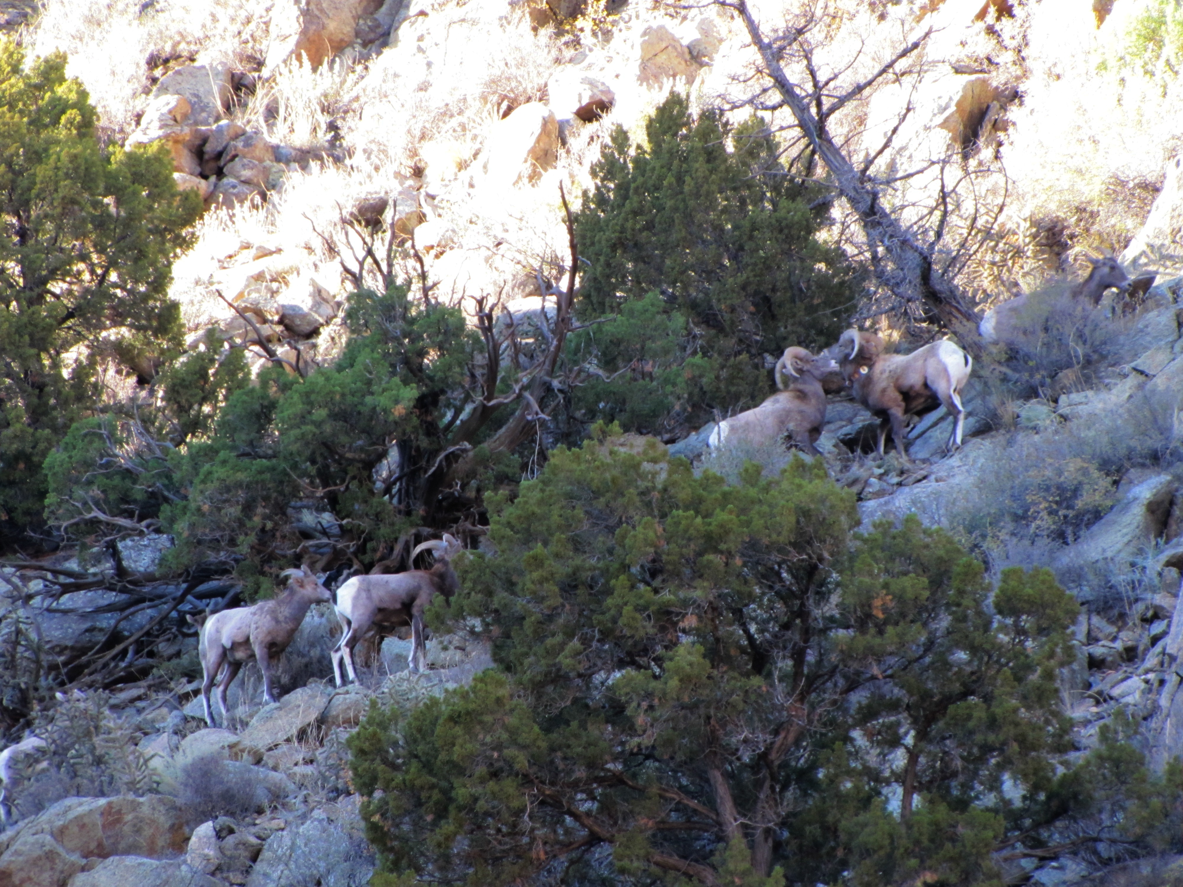
The Rut (1 of 6)

The rut (6 of 6)

The rut (3 of 6)

The rut (5 of 6)
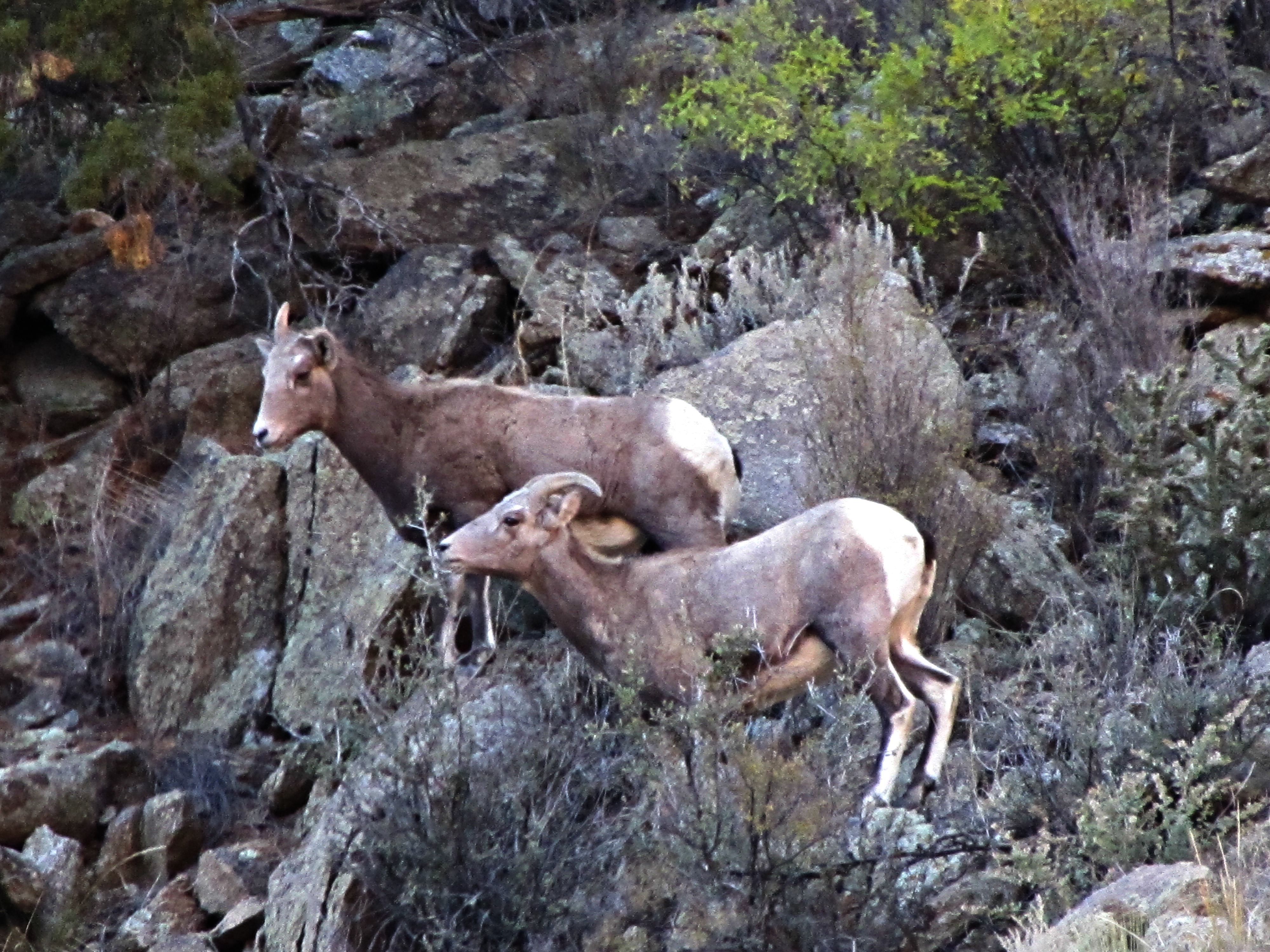
The rut (2 of 6)
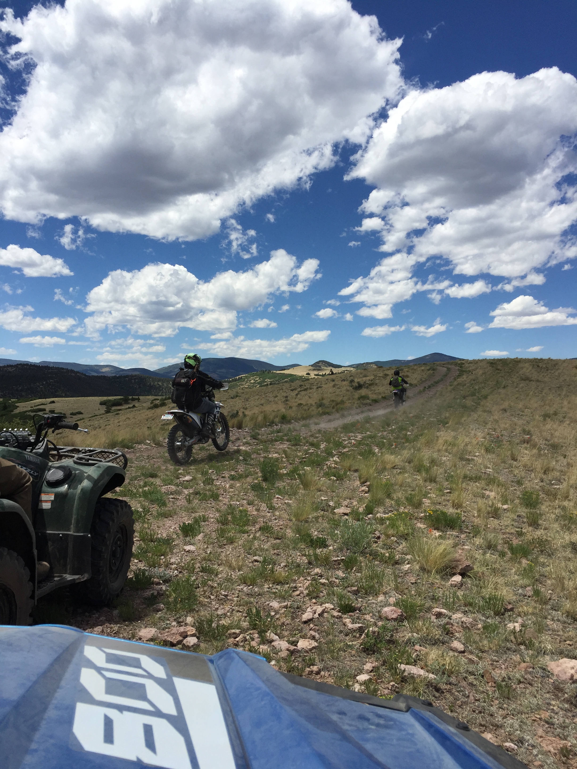
Top OHV Areas: Texas Creek

Top OHV Areas: Texas Creek
View from Badger Creek Bridge

Happy birthday Shannon! ???? I love you so much! Enjoying the view at Pomeroy Lake at 12,000 feet elevation after a nice hike from our camp. #mountainview #mountains #colorado #hike #backcountry #jeep #jeepcountry #pomeroylakes #buenavista #camping

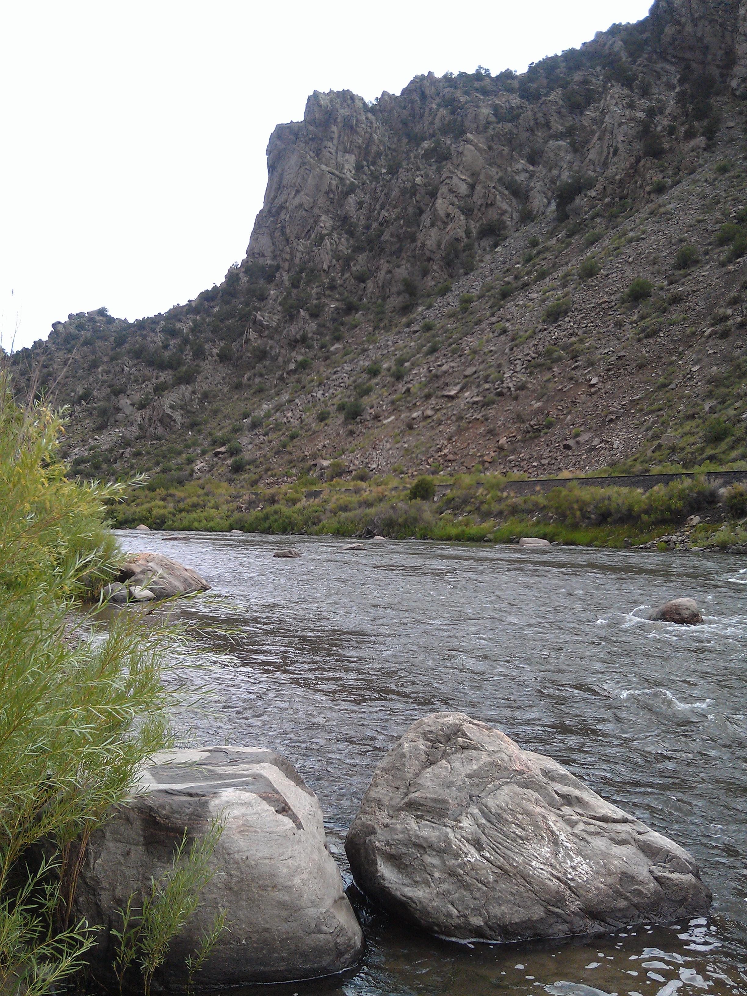
Arkansas River

Arkansas River

Cotopaxi bound

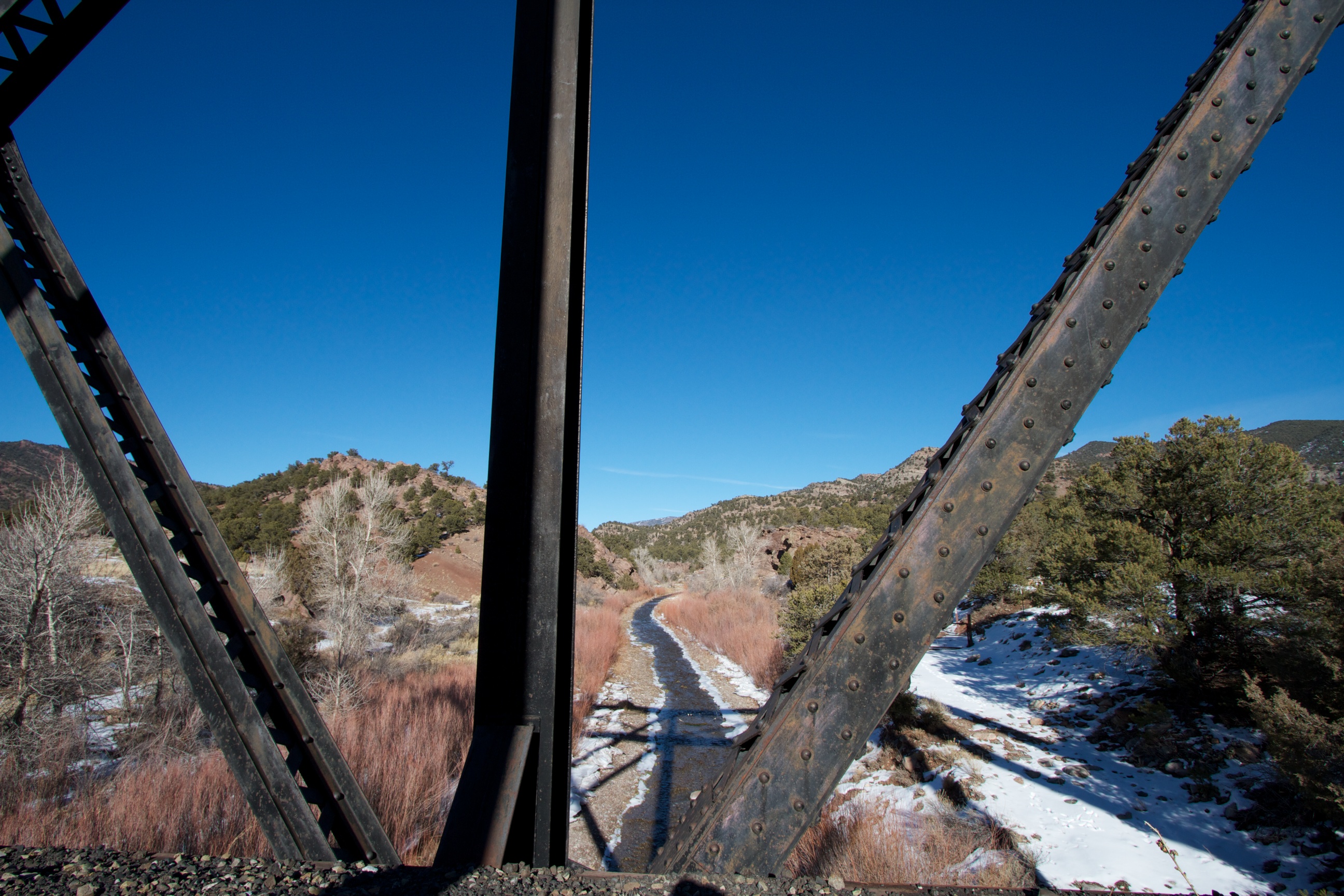
Texas Creek Bridge

iphone pano

U.S. Route 50 Colorado on the Arkansas River

Texas Creek Bridge, Arkansas River, Colorado

Early winter morning in Cotopaxi

Window Seat | Over Cotopaxi, Colorado | Delta Boeing 757-300

East Howard Bridge, Howard, Colorado

Arkansas River, US Highway 50, Colorado

More Rivers

Arkansas River at the Base of the Sangre de Cristo Range, Near Salida, Colorado

Down to the river for a drink
Riverside Rusting
Arkansas River- Fremont County CO (4)

Queen of the world

A bit too far

Picture 012

KOA- Cotopaxi CO (2)

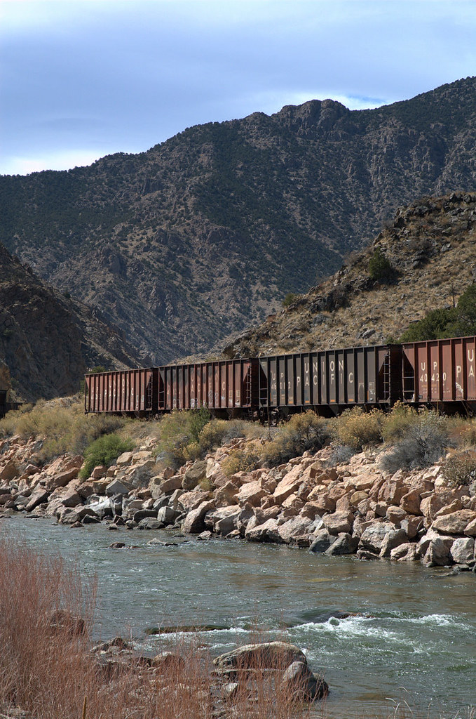
Arkansas River Straddled by the Railroad and US 50
Topographic Map of Burnt Timber Circle, Burnt Timber Cir, Colorado, USA
Find elevation by address:

Places near Burnt Timber Circle, Burnt Timber Cir, Colorado, USA:
1000 Bird Point Dr
1000 Bird Point Dr
189 Burnt Timber Cir
179 Half Mound Cir
603 Big Bow Dr
296 Cedar Bluff Dr
512 Big Bow Dr
568 Big Bow Dr
29 Bison Cir
1073 Copper Mtn Rd
3973 Basin Dr
Trail Drive
Pinon Drive
Pinon Drive
628 Burno Mountain Rd
Aspen Way
853 Basin Dr
North Lane
Burned Timber Mountain
Bull Ridge
Recent Searches:
- Elevation of Tenjo, Cundinamarca, Colombia
- Elevation of Côte-des-Neiges, Montreal, QC H4A 3J6, Canada
- Elevation of Bobcat Dr, Helena, MT, USA
- Elevation of Zu den Ihlowbergen, Althüttendorf, Germany
- Elevation of Badaber, Peshawar, Khyber Pakhtunkhwa, Pakistan
- Elevation of SE Heron Loop, Lincoln City, OR, USA
- Elevation of Slanický ostrov, 01 Námestovo, Slovakia
- Elevation of Spaceport America, Co Rd A, Truth or Consequences, NM, USA
- Elevation of Warwick, RI, USA
- Elevation of Fern Rd, Whitmore, CA, USA