Elevation of North Lane, North Ln, Cotopaxi, CO, USA
Location: United States > Colorado > Cotopaxi >
Longitude: -105.75081
Latitude: 38.4803143
Elevation: 2887m / 9472feet
Barometric Pressure: 71KPa
Elevation Map:
Satellite Map:
Related Photos:
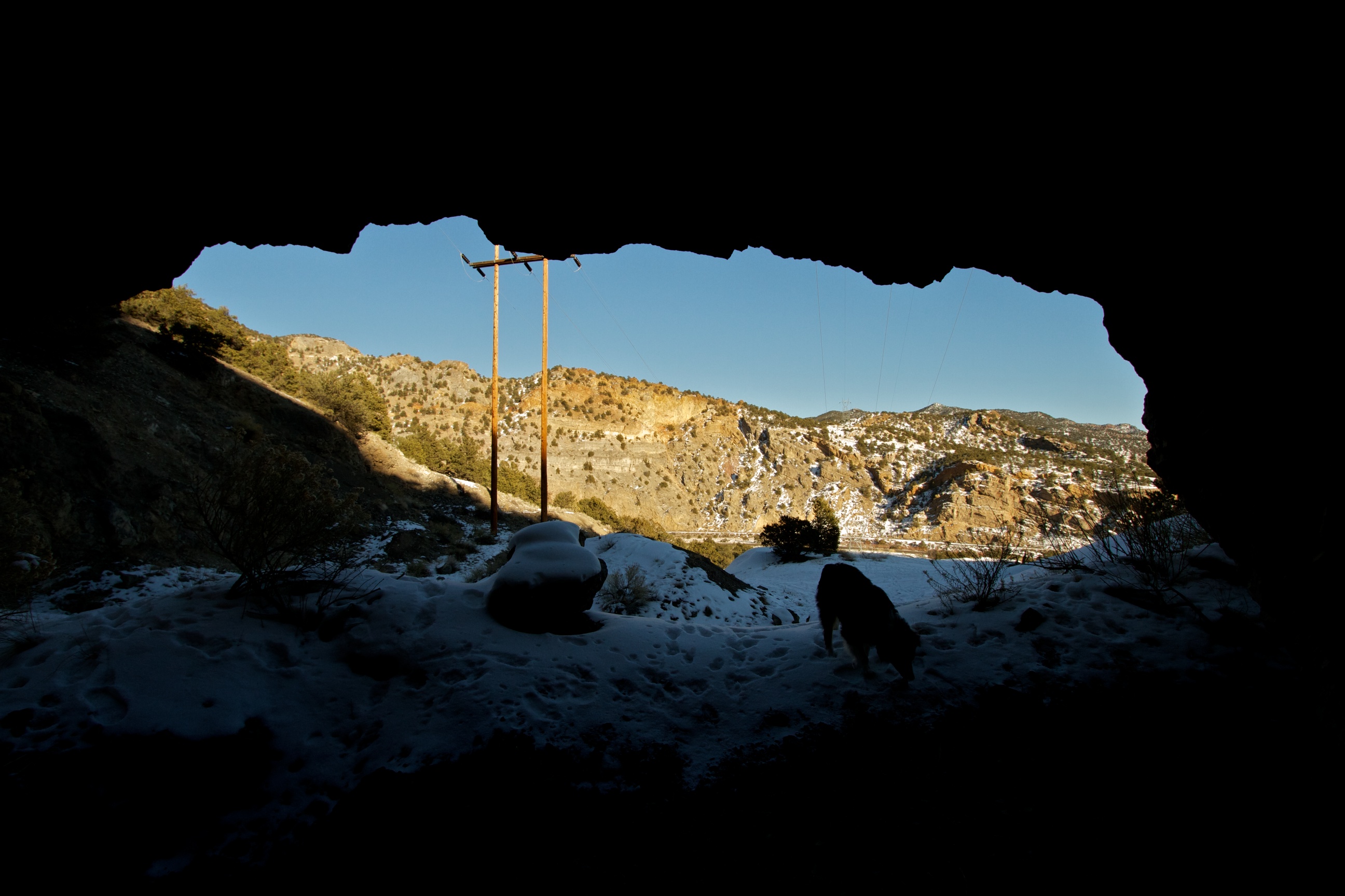
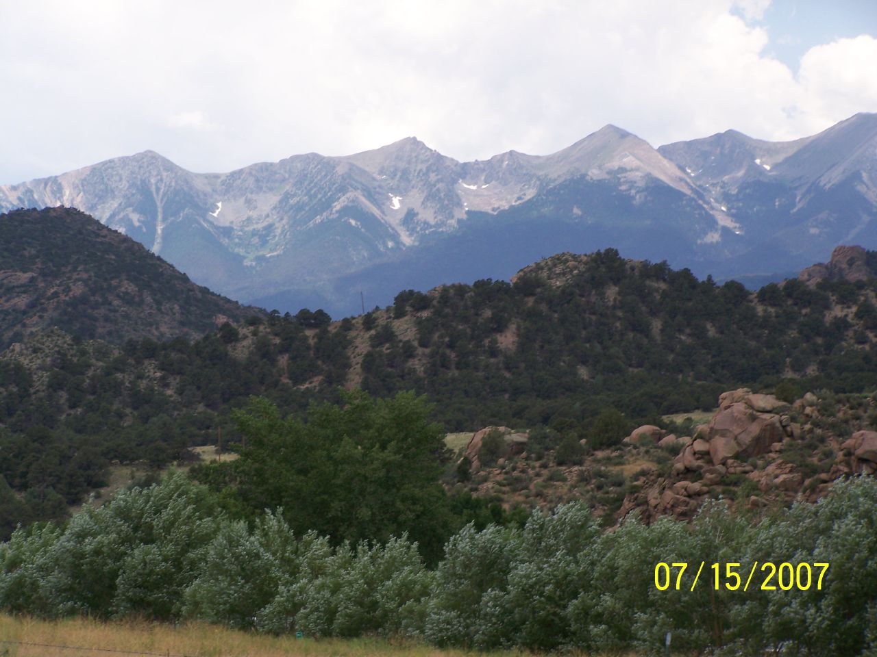
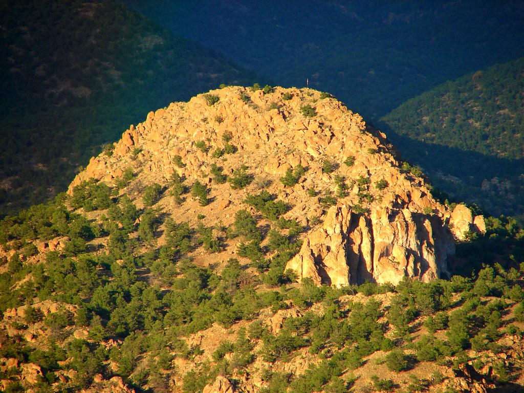
View from the Mine

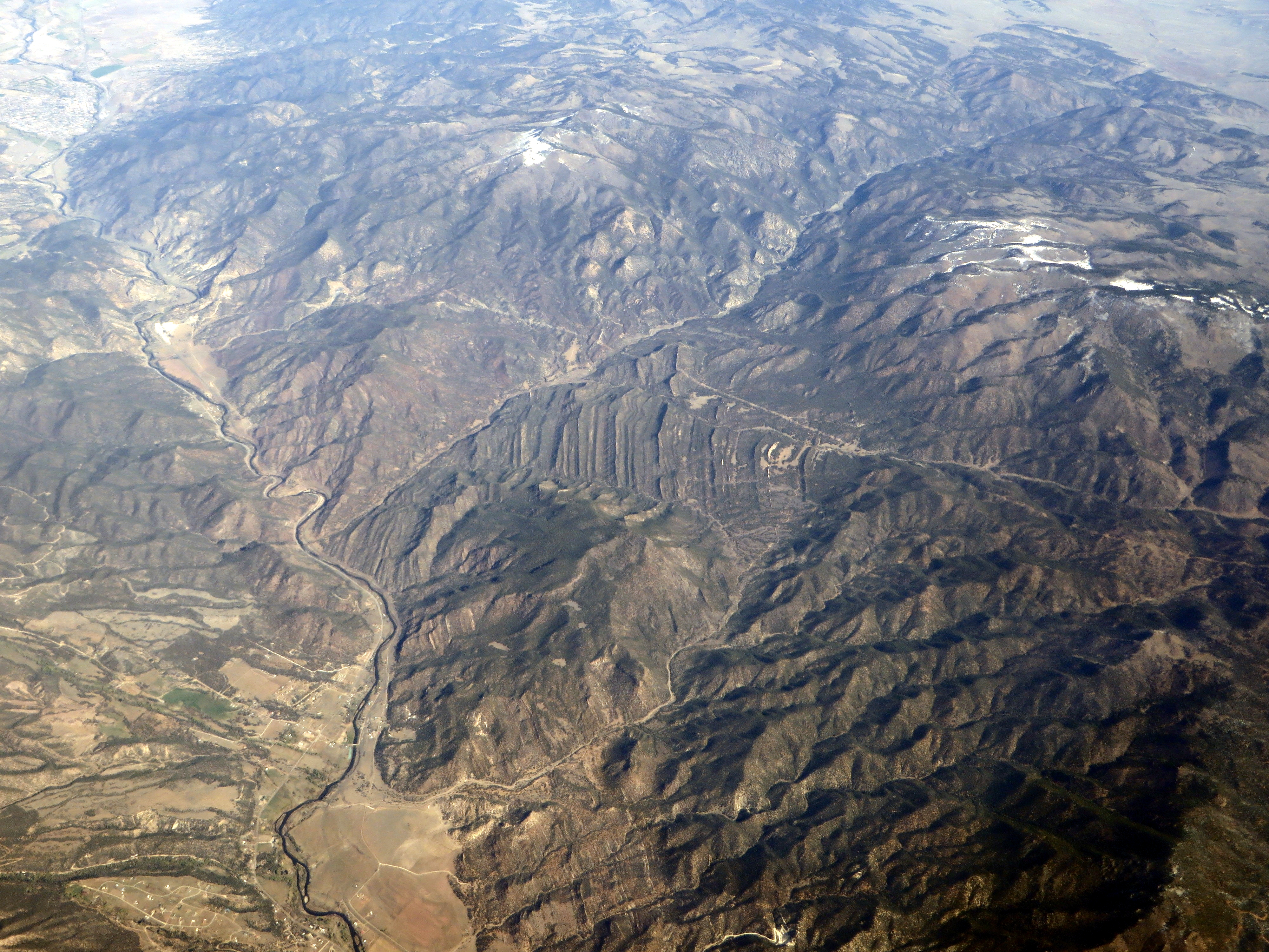
View From Airplane

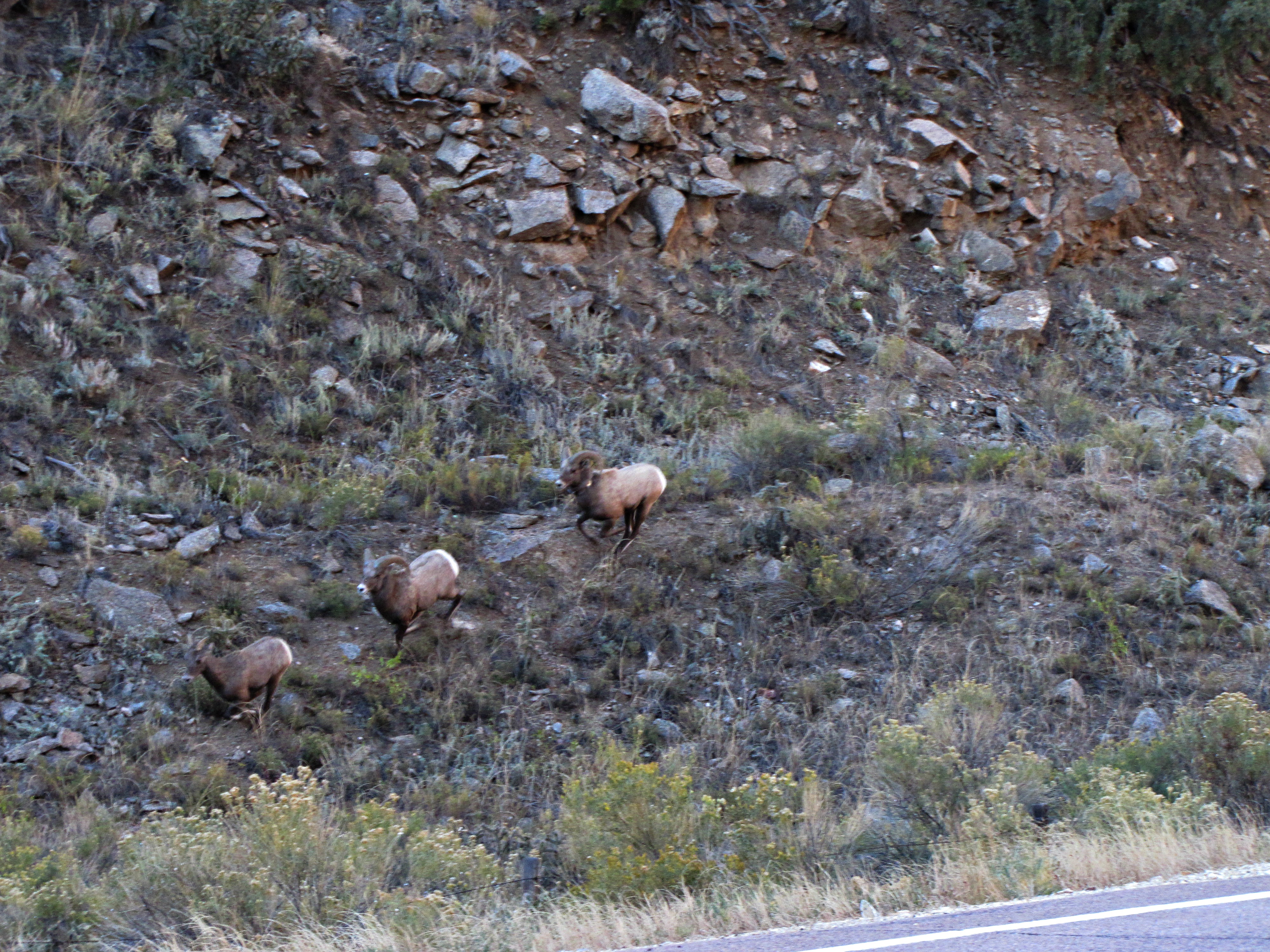
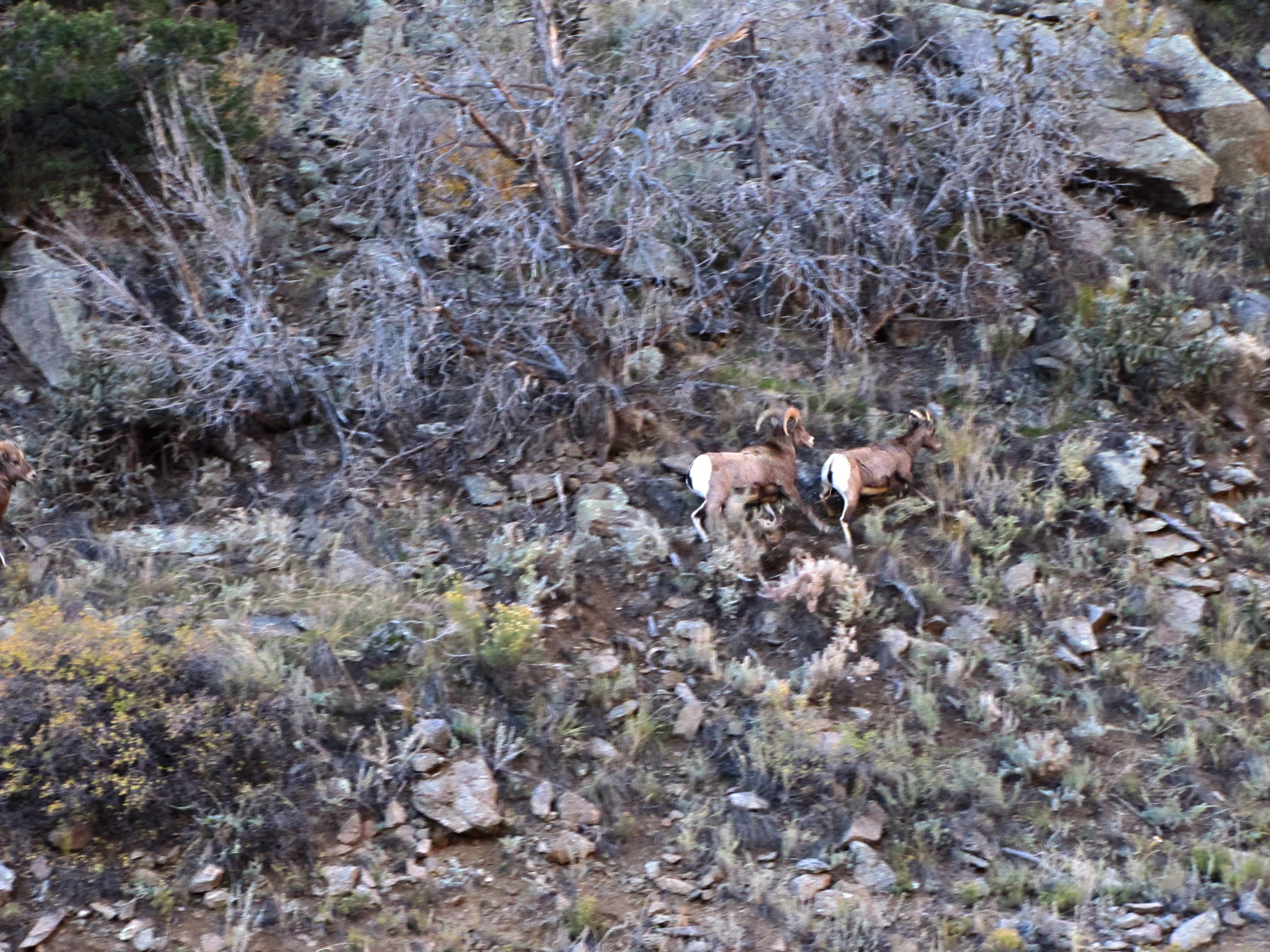
The Rut (1 of 6)
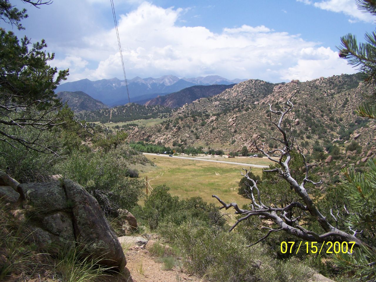
View Back Towards Salida from Wellsville
The rut (6 of 6)
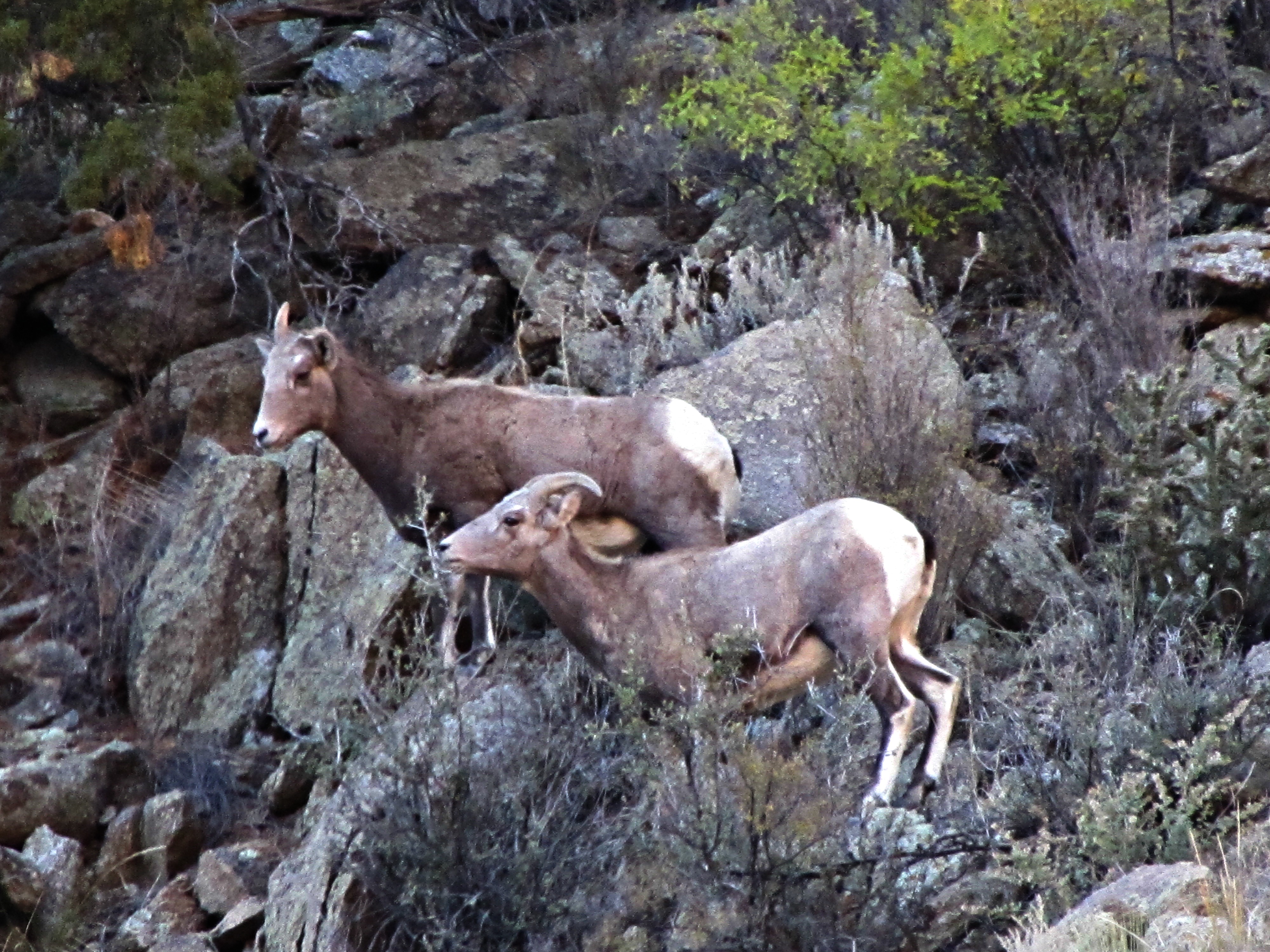
The rut (3 of 6)

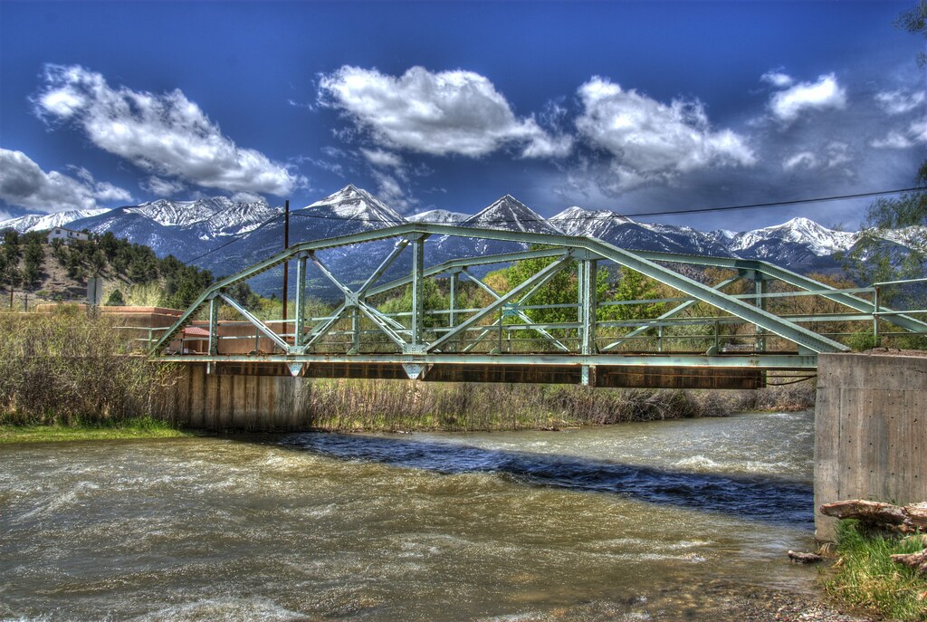
View from Badger Creek Bridge
The rut (5 of 6)
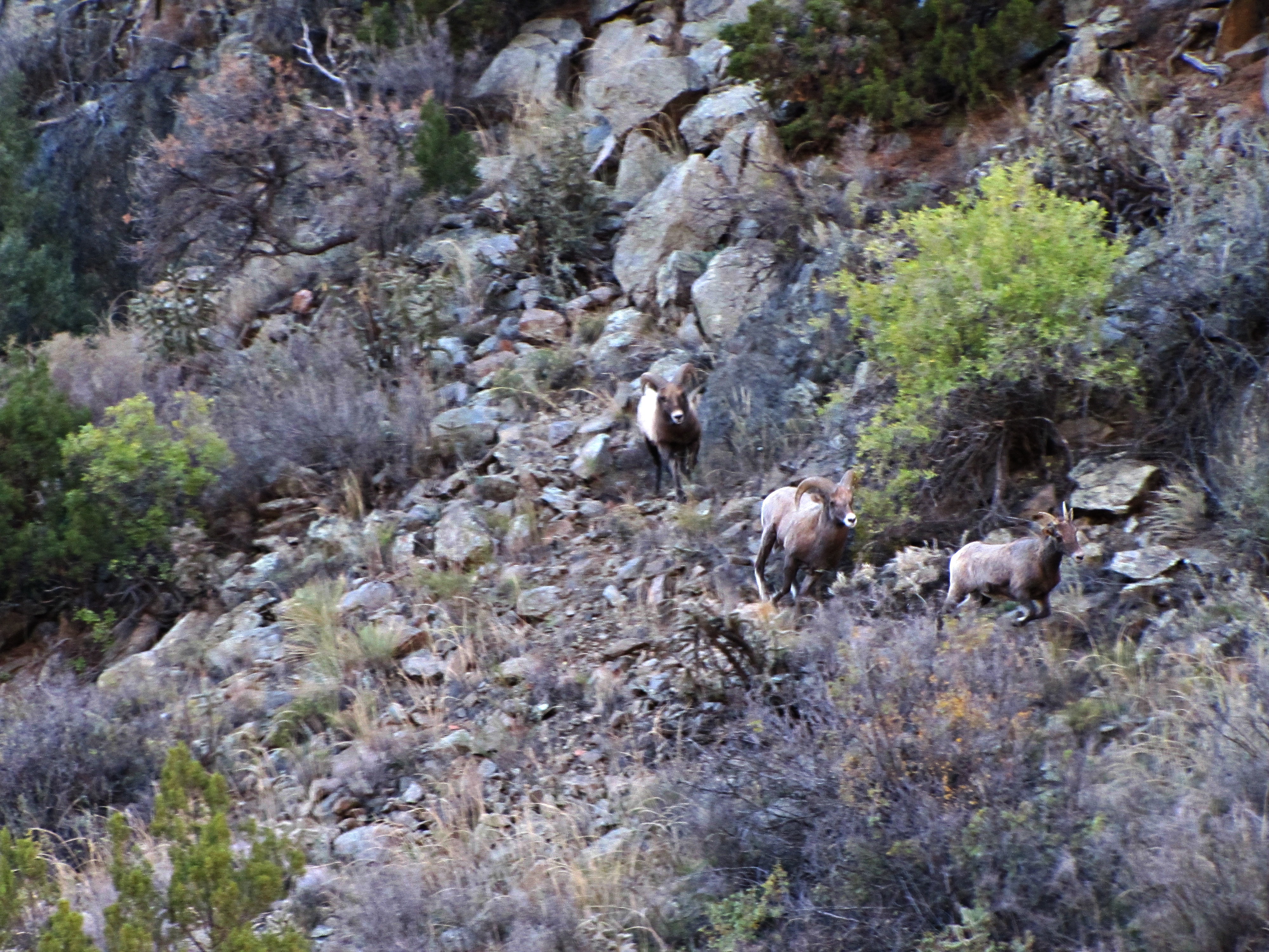
The rut (4 of 6)
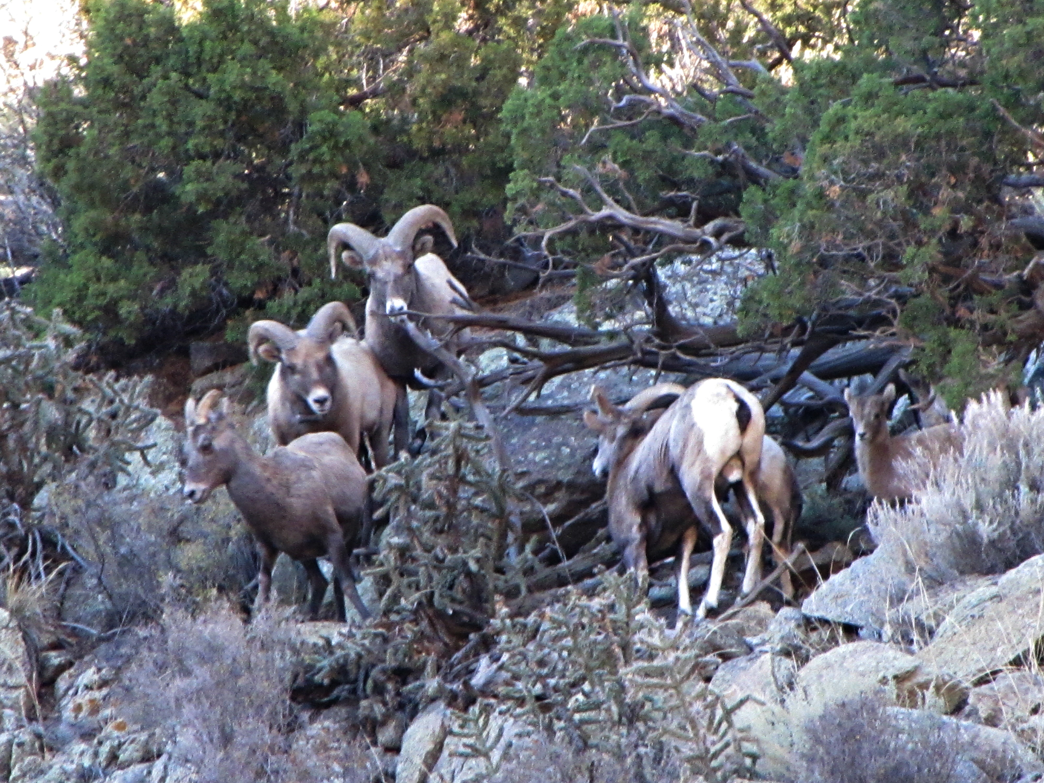
The rut (2 of 6)
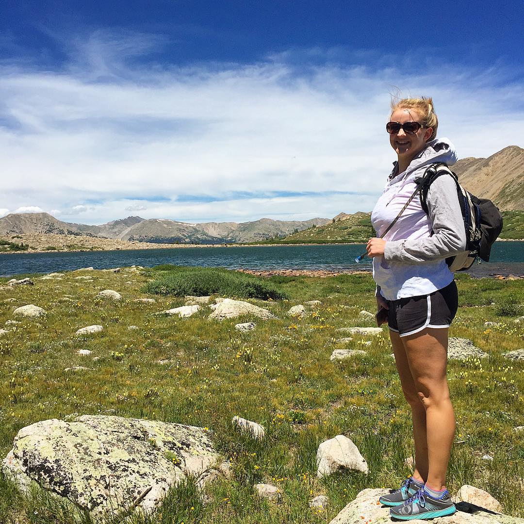
Happy birthday Shannon! ???? I love you so much! Enjoying the view at Pomeroy Lake at 12,000 feet elevation after a nice hike from our camp. #mountainview #mountains #colorado #hike #backcountry #jeep #jeepcountry #pomeroylakes #buenavista #camping
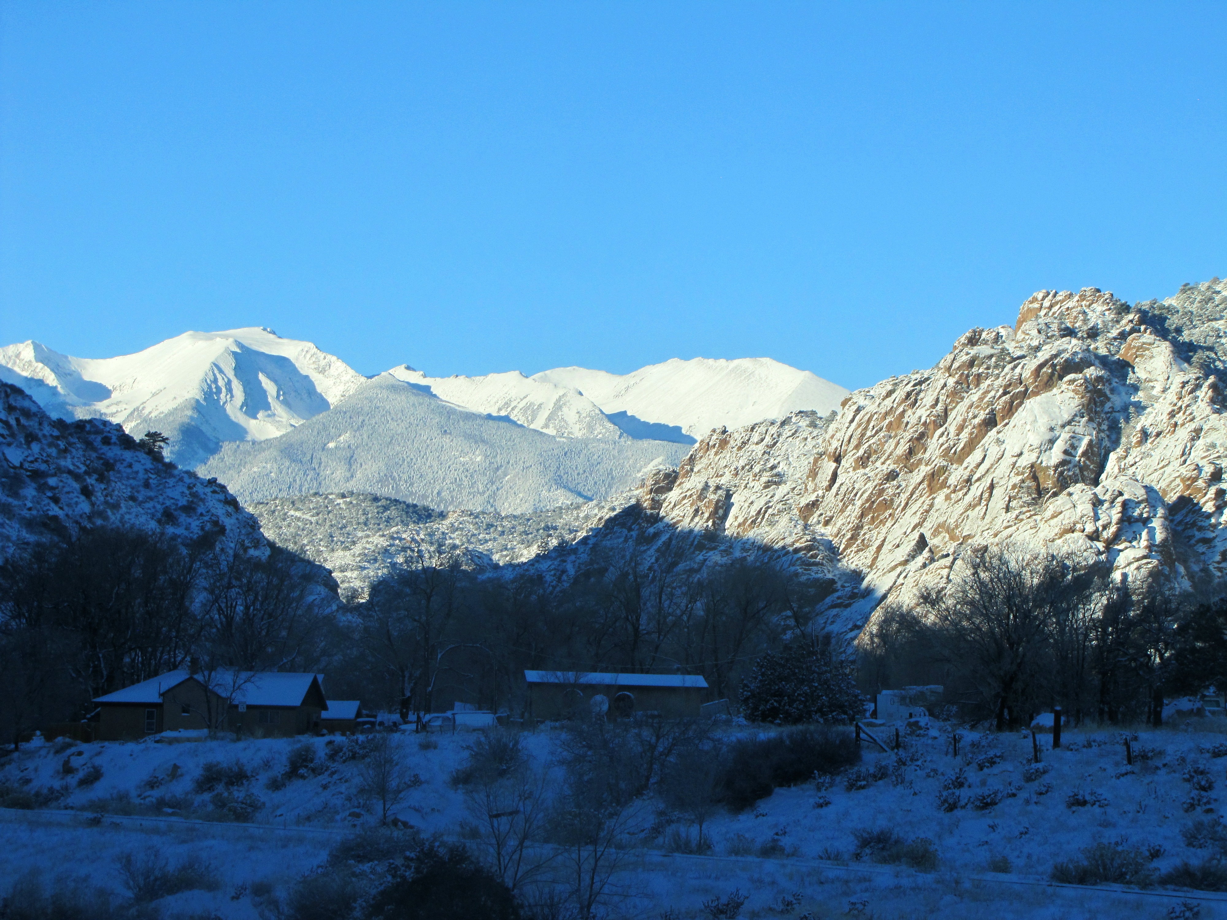
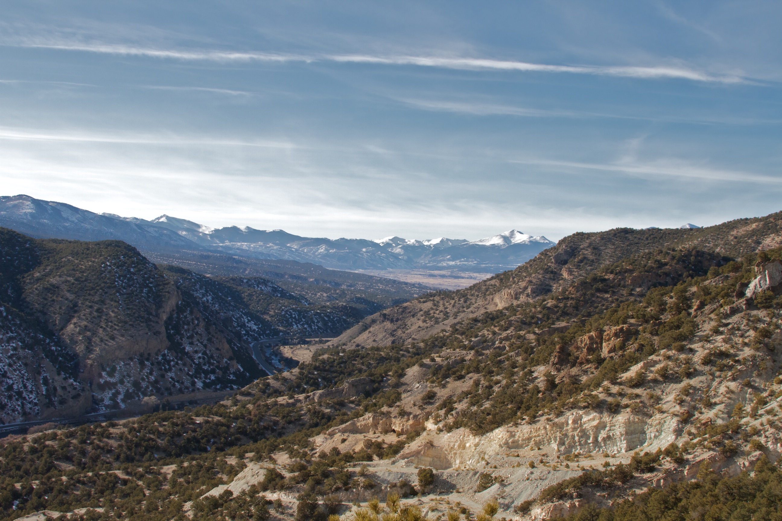
Early winter morning in Cotopaxi
Picture 012
Picture 015

KOA- Cotopaxi CO (2)
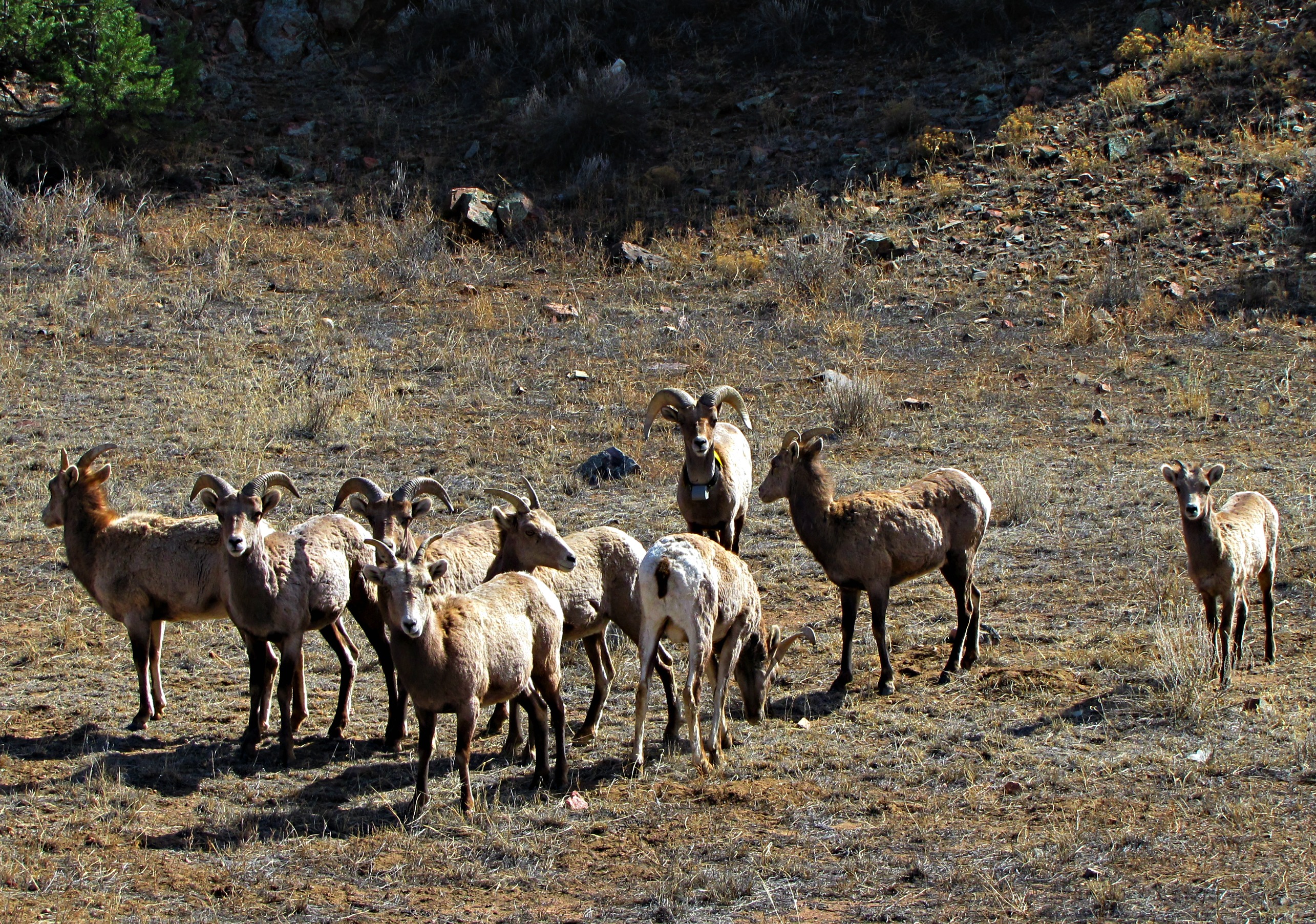
The family that grazes together stays together
Cotopaxi bound
Arkansas River along Hiway 50 in Colorado, USA
P1010448.JPG
P1010447.JPG

Spring Creek Bridge
East Howard Bridge, Howard, Colorado
us_trip 067
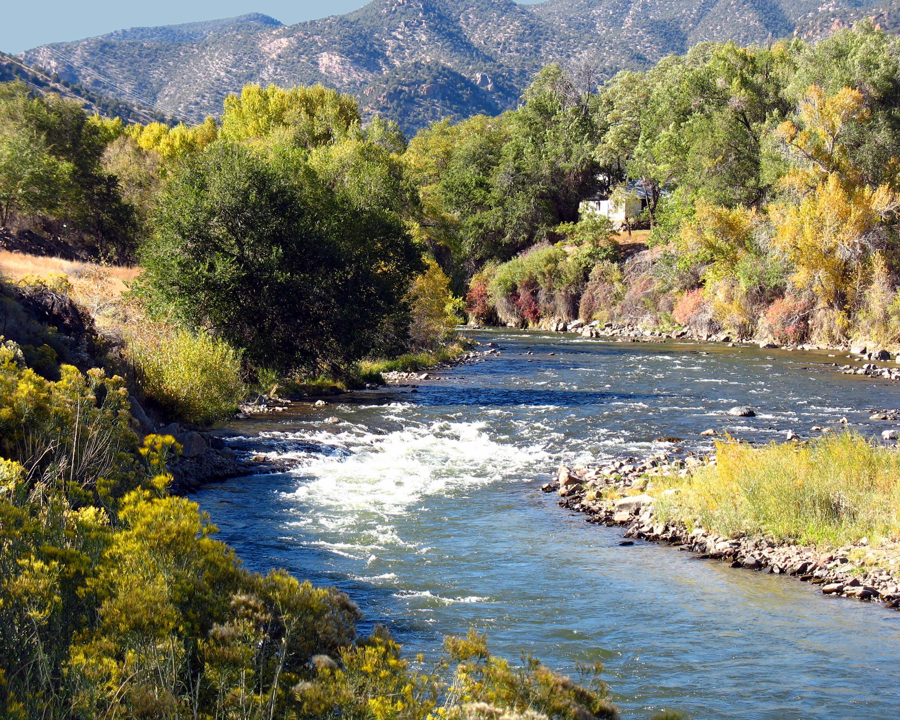
Arkansas River Near Howard, Colorado
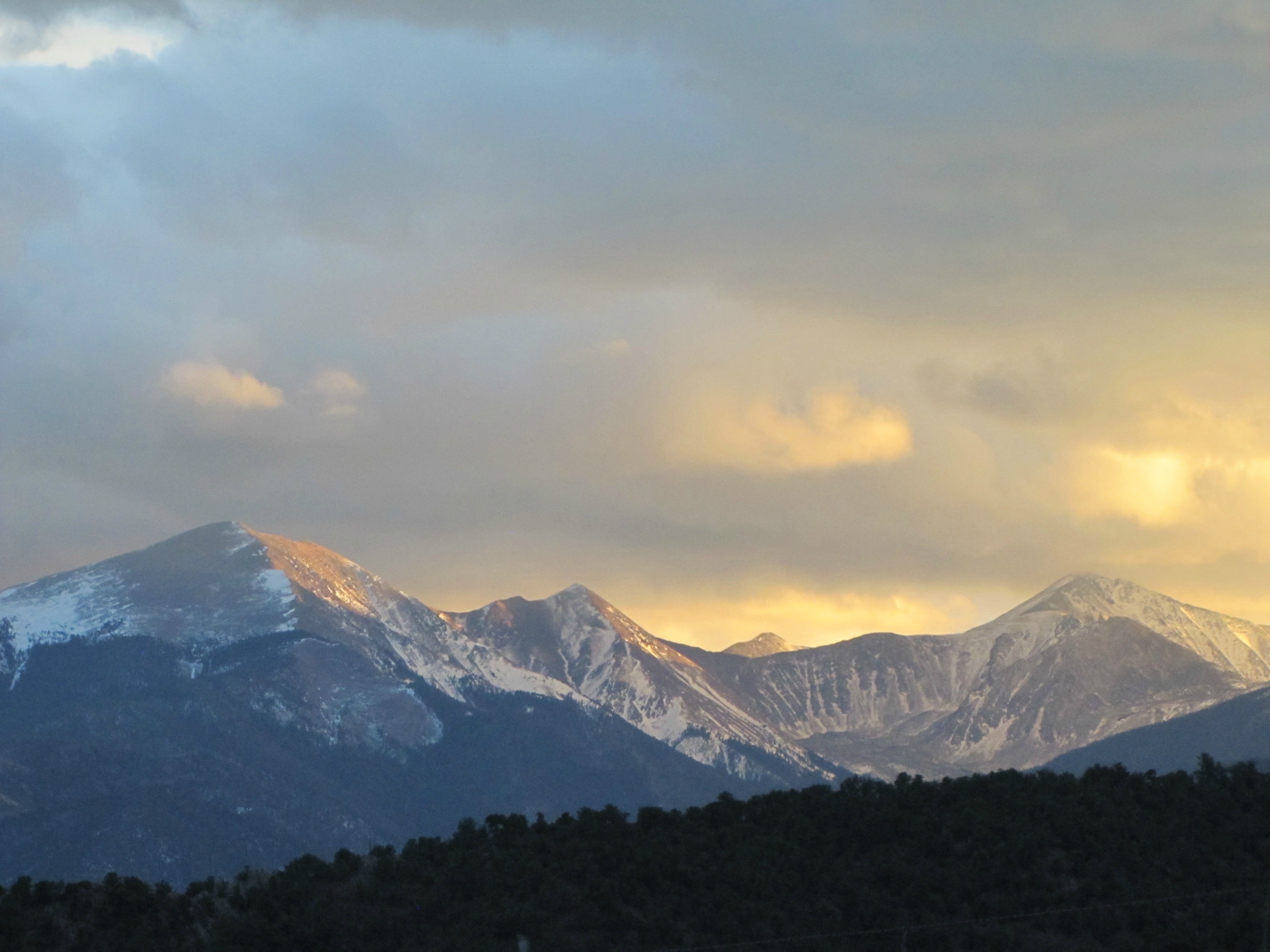
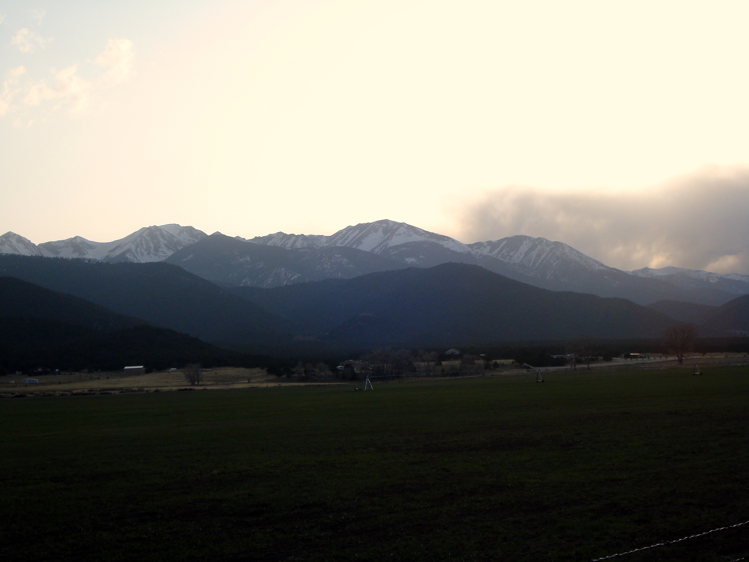
Dusk of the Sangre de Cristo Range
Rock and Faint Rainbow

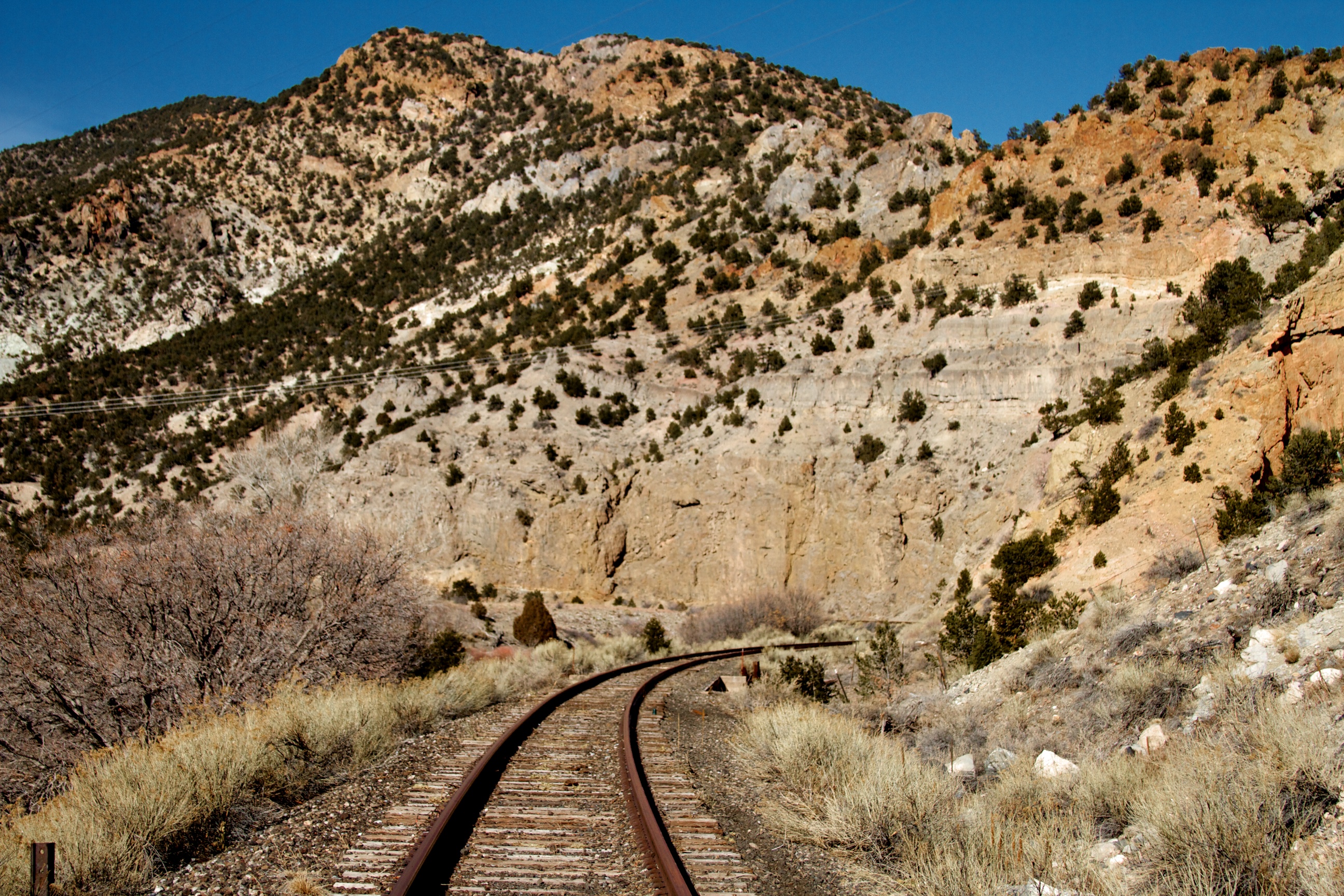
Tunnel Along Ex-DRG&W Royal Gorge Route
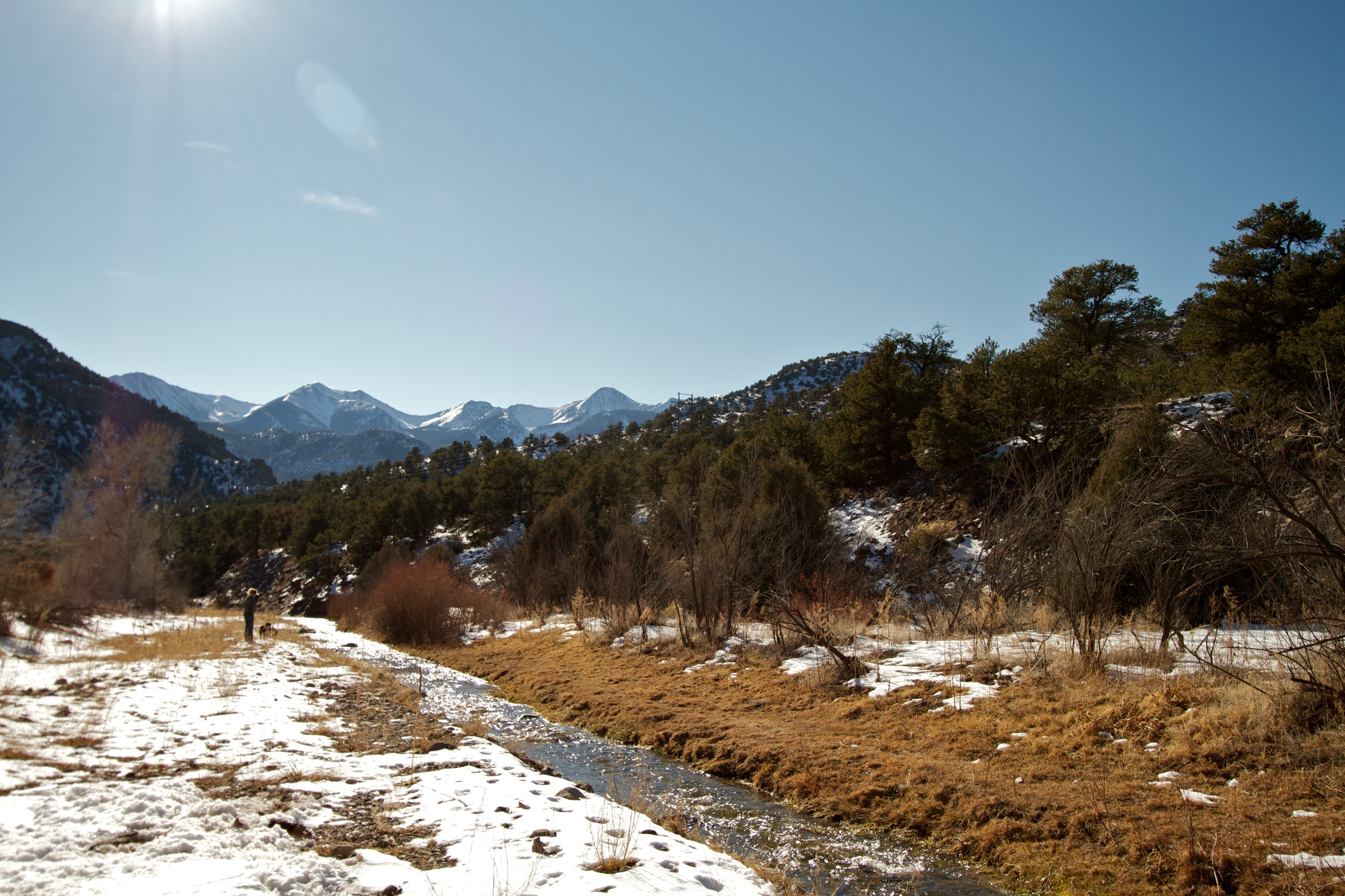
Badger Creek
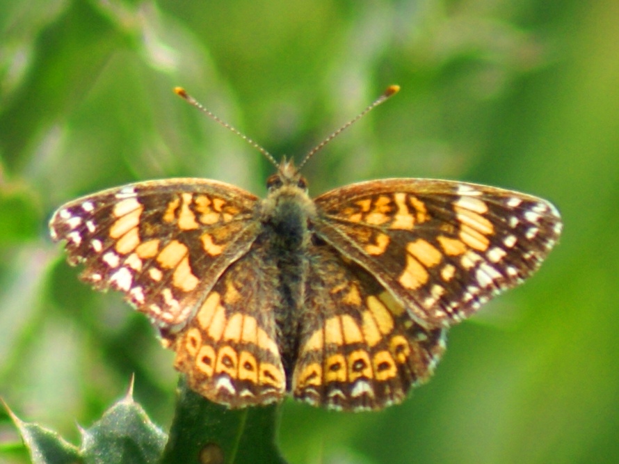
Sagebrush Checkerspot
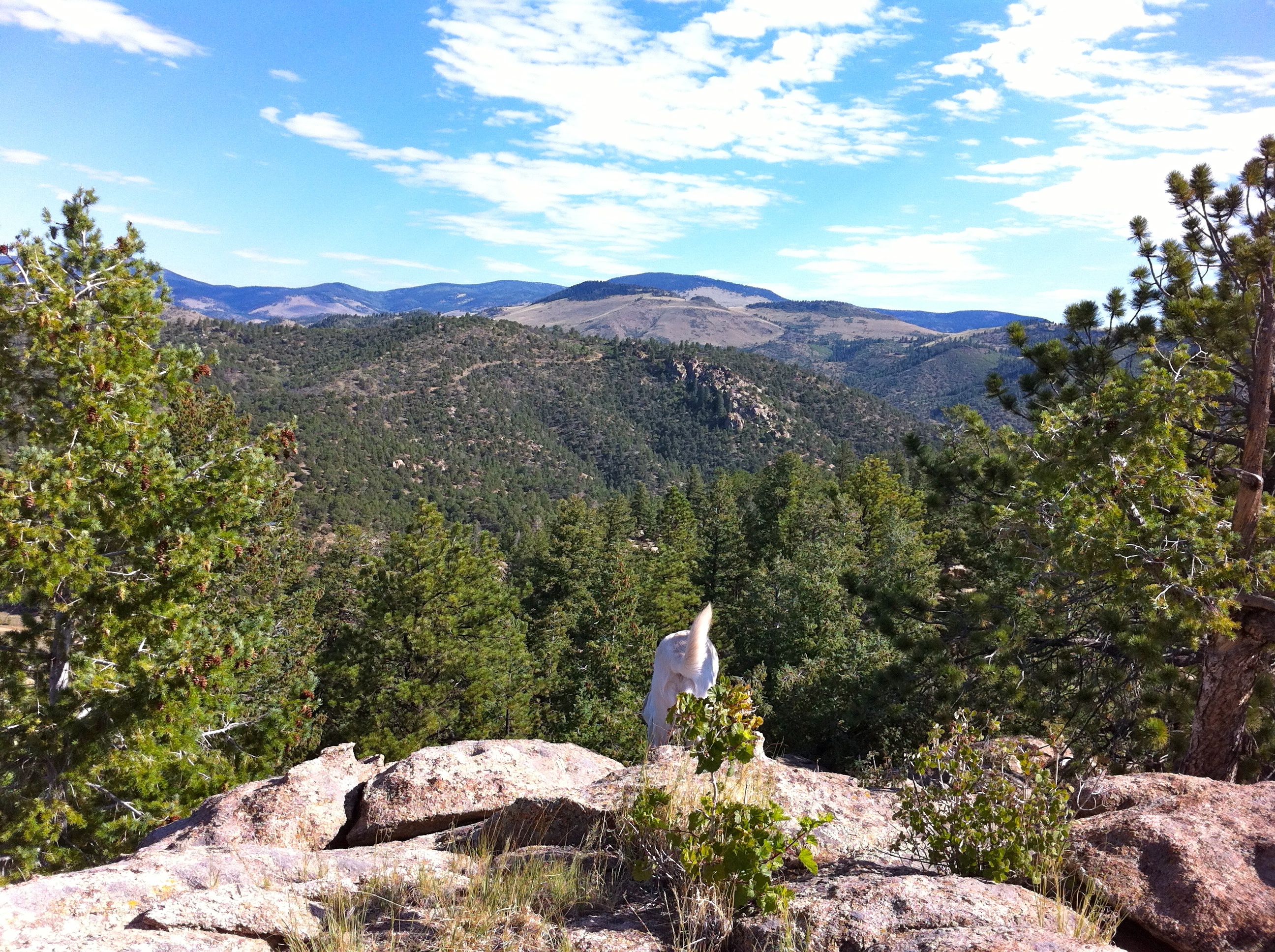
A bit too far
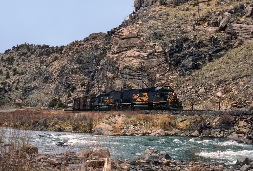
Wellsville Canyon Tracks
Topographic Map of North Lane, North Ln, Cotopaxi, CO, USA
Find elevation by address:

Places near North Lane, North Ln, Cotopaxi, CO, USA:
628 Burno Mountain Rd
Burned Timber Mountain
1073 Copper Mtn Rd
Trail Drive
3973 Basin Dr
Aspen Way
Pinon Drive
Pinon Drive
853 Basin Dr
Sand Road
1000 Bird Point Dr
1000 Bird Point Dr
Burnt Timber Circle
179 Half Mound Cir
189 Burnt Timber Cir
Sand Road
603 Big Bow Dr
296 Cedar Bluff Dr
29 Bison Cir
512 Big Bow Dr
Recent Searches:
- Elevation of Leyte Industrial Development Estate, Isabel, Leyte, Philippines
- Elevation of W Granada St, Tampa, FL, USA
- Elevation of Pykes Down, Ivybridge PL21 0BY, UK
- Elevation of Jalan Senandin, Lutong, Miri, Sarawak, Malaysia
- Elevation of Bilohirs'k
- Elevation of 30 Oak Lawn Dr, Barkhamsted, CT, USA
- Elevation of Luther Road, Luther Rd, Auburn, CA, USA
- Elevation of Unnamed Road, Respublika Severnaya Osetiya — Alaniya, Russia
- Elevation of Verkhny Fiagdon, North Ossetia–Alania Republic, Russia
- Elevation of F. Viola Hiway, San Rafael, Bulacan, Philippines