Elevation of Burks Mountain Road, Burks Mountain Rd, Appling, GA, USA

Location: United States > Georgia > Columbia County > Appling >

Longitude: -82.227972

Latitude: 33.6175984

Elevation: 94m / 308feet

Barometric Pressure: 100KPa

Elevation Map:

elevation map of Burks Mountain Road, Burks Mountain Rd, Appling, GA, USA

Satellite Map:

Satellite map of Burks Mountain Road, Burks Mountain Rd, Appling, GA, USA

Related Photos:

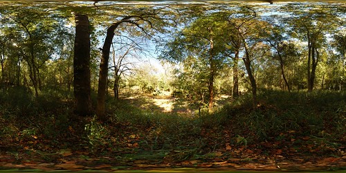
panorama heritage creek forest geotagged pano stevens 360 sphere preserve equirectangular geolon82154479 geolat33690491
Steven's Creek Heritage Preserve - Floodplain
family holiday
My Cousin David's House
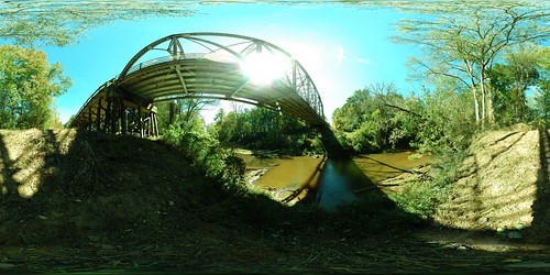
panorama heritage sc creek geotagged pano south stevens 360 carolina preserve equirectangular geolon8214971 geolat33688736
Steven's Creek Heritage Preserve (Bridge)
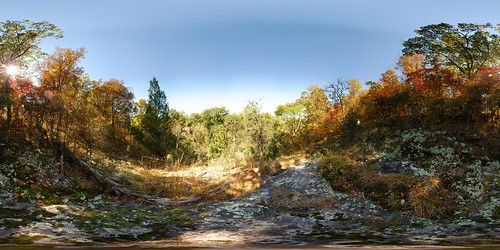
panorama heritage creek geotagged pano south stevens 360 carolina overlook preserve equirectangular geolon8215516 geolat33688299
Steven's Creek Heritage Preserve - Overlook
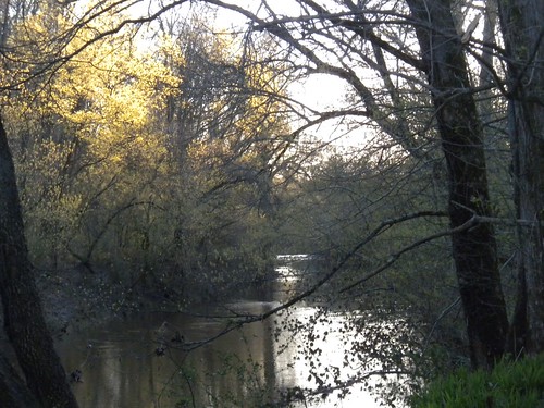
wood sun tree sc nature water creek forest flow spring oak stream dusk branches bank foliage carolina ash vernal canopy edgefield
Stevens Creek
mccormickcounty keybranch southcarolinamodoctrailsumternationalforest
Key Branch
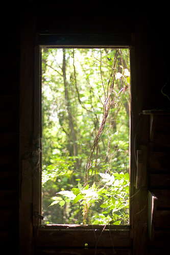
plant tree green abandoned window barn bush south carolina
An Overgrown View
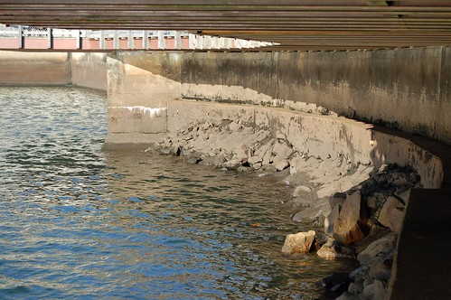
chirtmaseve augusta clarkshilllake dam water powerplant lake
The Dam
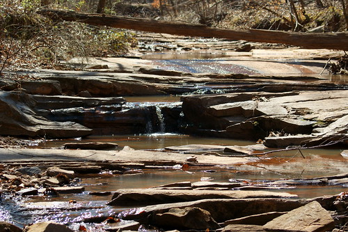
stevens southcarolina stevenscreektrail mccormickcounty modoctrail
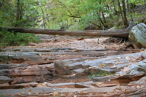
Dry Creek Bed
usa lake storm sc rain clouds america ga georgia us dam southcarolina nikond60 vicsf49 clarkshill jstromthurmond
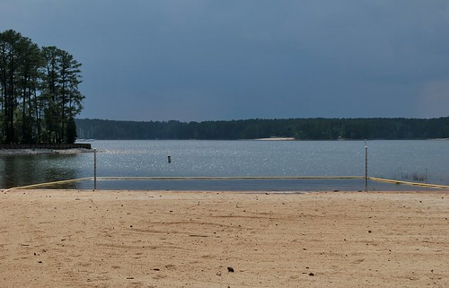
Deserted...for good reason
pink sunset sun lake reflection cute beach water girl clouds canon ga relax sand purple unitedstates little sandals southcarolina explore 7d flipflops augusta chanclas chancletas clarkshill
Sandy Sandals
us unitedstates southcarolina kayaking paddling parksville modoc turkeycreek plumbranch stevenscreek lowcountryunfiltered churchofthedoublebladedpaddle
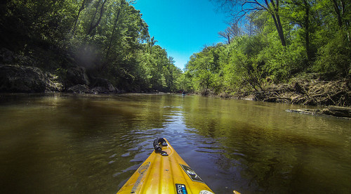
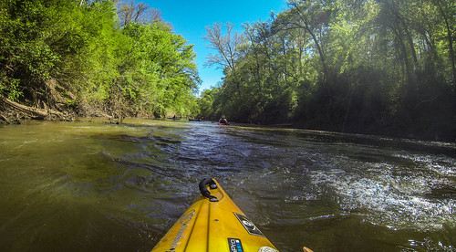
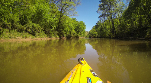
Turkey and Stevens Creeks-275
ranunculaceae dicots falserueanemone enemionbiternatum isopyrumbiternatum isopyrum
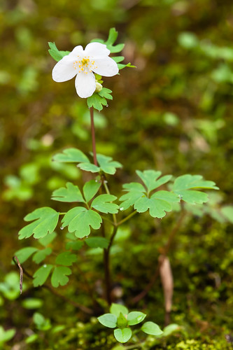
Enemion biternatum (False Rue-anemone)
usa lake sc water landscape sand nikon unitedstates unitedstatesofamerica southcarolina hdr hdrphotography highdefinitionrange clarkshill glauryphotography
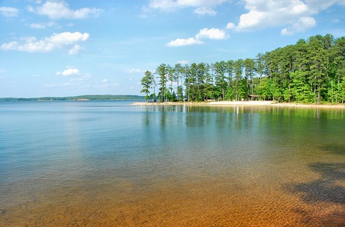
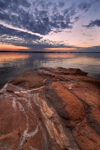
Strom Thurmond Lake
us unitedstates southcarolina kayaking paddling parksville modoc turkeycreek plumbranch stevenscreek lowcountryunfiltered churchofthedoublebladedpaddle
Turkey and Stevens Creeks-279
us unitedstates southcarolina kayaking paddling parksville modoc turkeycreek plumbranch stevenscreek lowcountryunfiltered churchofthedoublebladedpaddle
Turkey and Stevens Creeks-257
blue usa sc water ga georgia landscape nikon unitedstates dam unitedstatesofamerica southcarolina places augusta clarkshill glauryphotography
Strom Thurmond Dam
sunset usa lake sc america ga georgia us dam southcarolina nikond60 vicsf49 clarkshill jstromthurmond
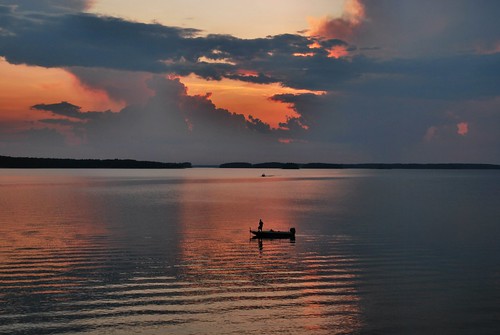
Fishing by the sunset
people trash georgia blackwhite augusta bwphotography blackwhitephotography
Happy Hour
usa sc america ga georgia us unitedstates southcarolina vicsf49 clarkshill jstromthurmond
Desert Island.....
sunset augustageorgia clarkshilllake
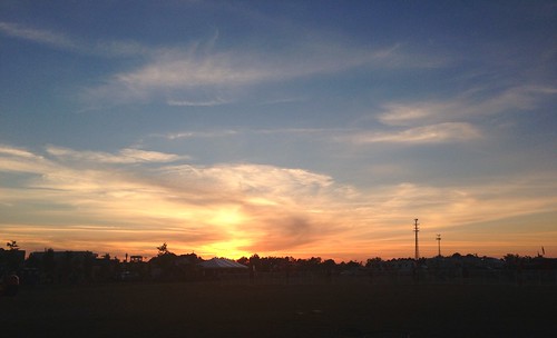
Clarks Hill Lake Sunset
uploaded:by=flickrmobile flickriosapp:filter=nofilter
Vanishing Light
square lofi squareformat iphoneography instagramapp uploaded:by=instagram foursquare:venue=4bf04390c601a593387ec3d1
The first of the rain from tropical storm Beryl
sunset usa lake sc america ga georgia us dam muppets southcarolina beaker nikond60 vicsf49 clarkshill jstromthurmond
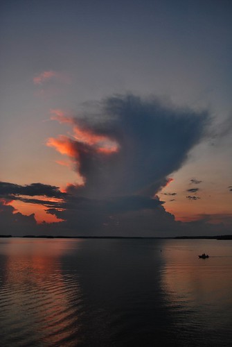
Giant clouds
travel trees usa lake sc water nikon unitedstates unitedstatesofamerica southcarolina places carolina hdr highdynamicrange stromthurmondlake hdrphotography clarkshill glauryphotograhy
Strom Thurmond Lake
sand after a rain
sunset augustageorgia clarkshilllake
Clarks Hill Lake Sunset
sunset nikon southcarolina d200 waterscape augustaga clarkshilllake stromthurmonddam
Strom Thurmond Dam at Twilight