Elevation of Burks Mountain Rd, Appling, GA, USA
Location: United States > Georgia > Columbia County > Appling >
Longitude: -82.257875
Latitude: 33.618938
Elevation: 121m / 397feet
Barometric Pressure: 100KPa
Elevation Map:
Satellite Map:
Related Photos:
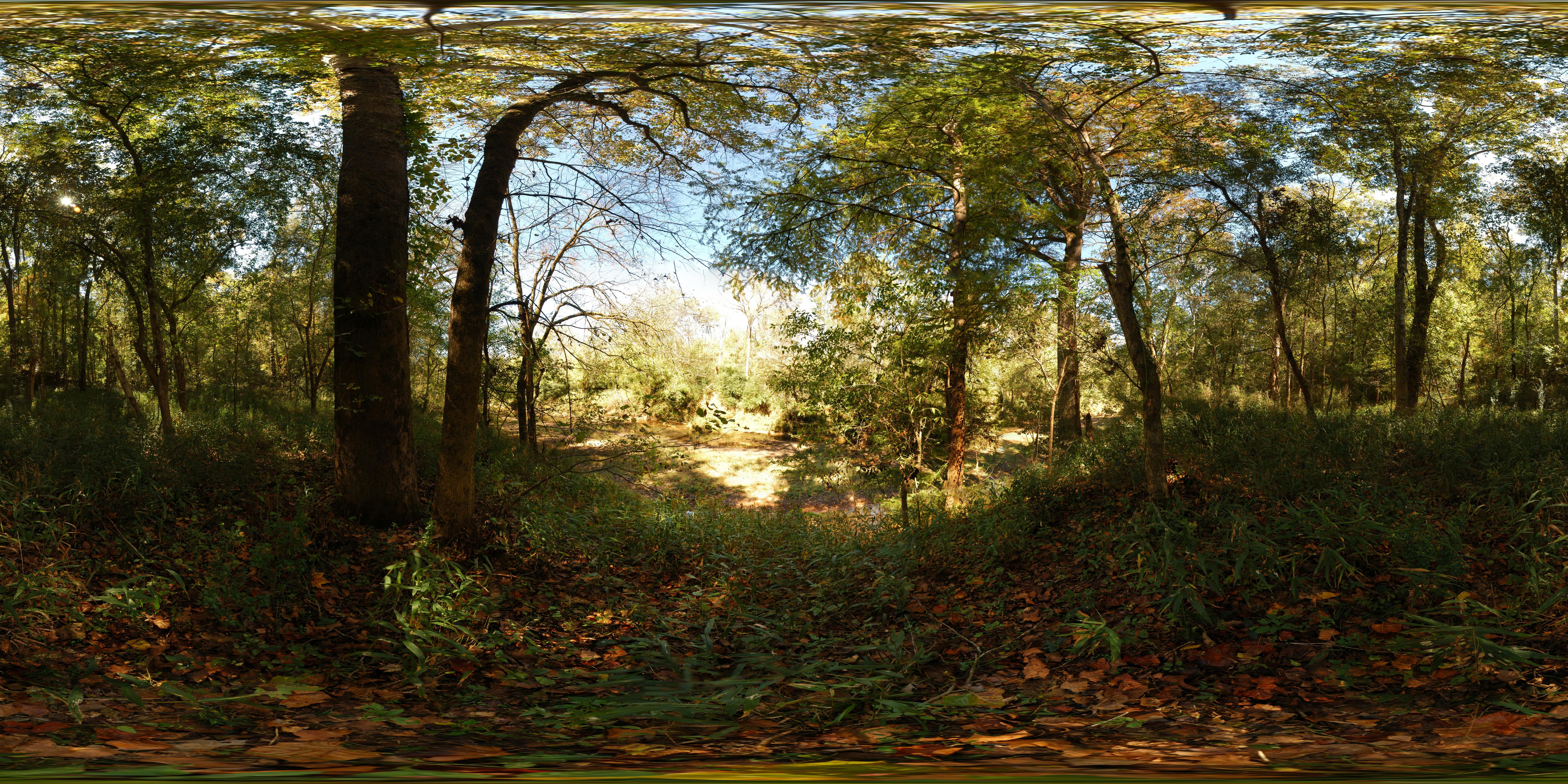
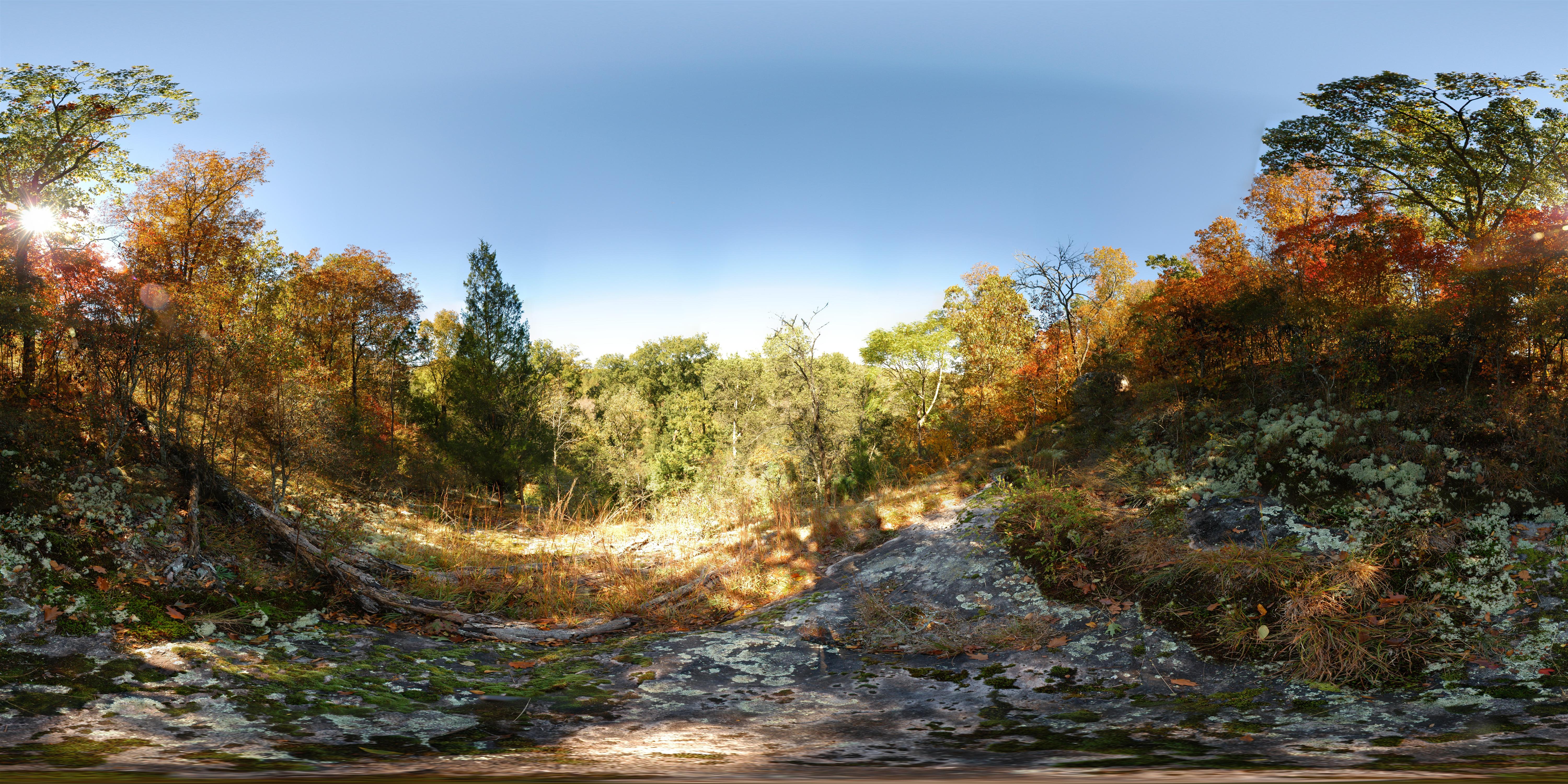
Steven's Creek Heritage Preserve - Floodplain
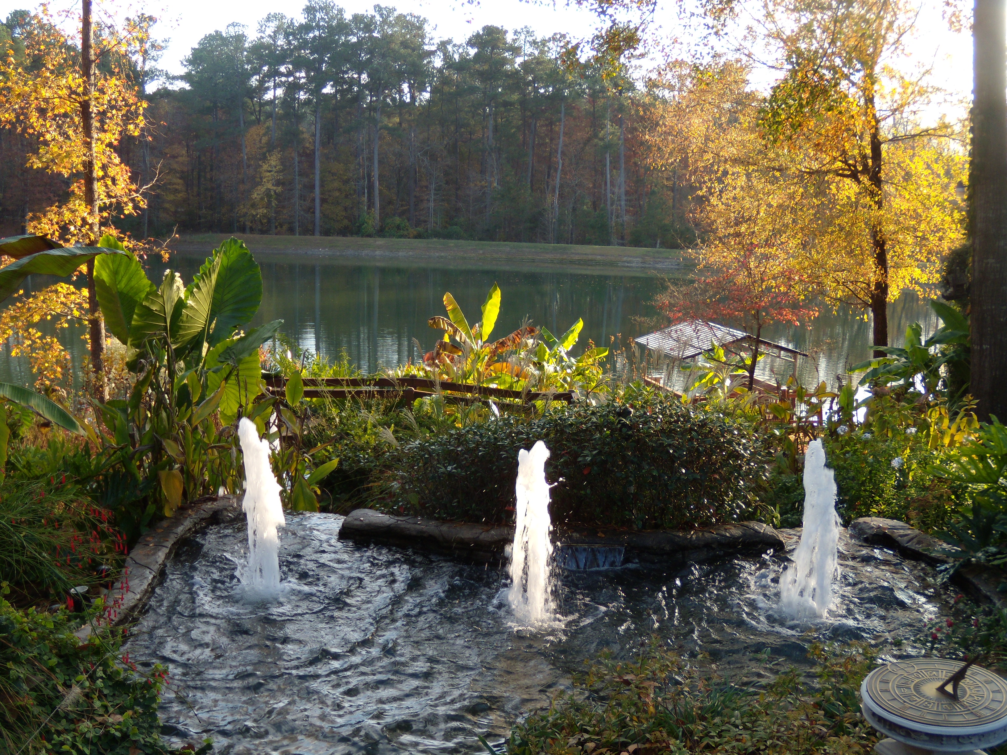
My Cousin David's House
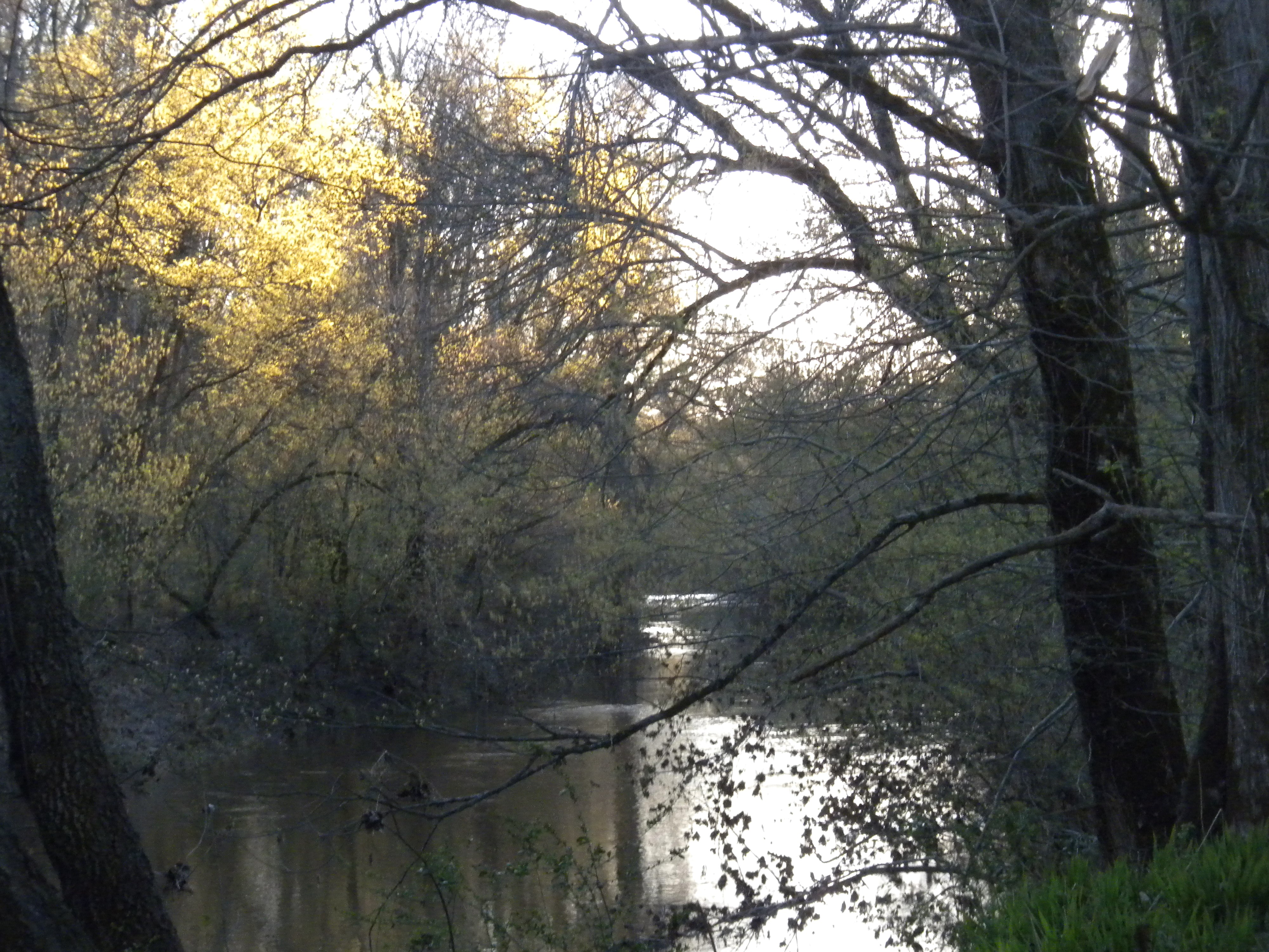
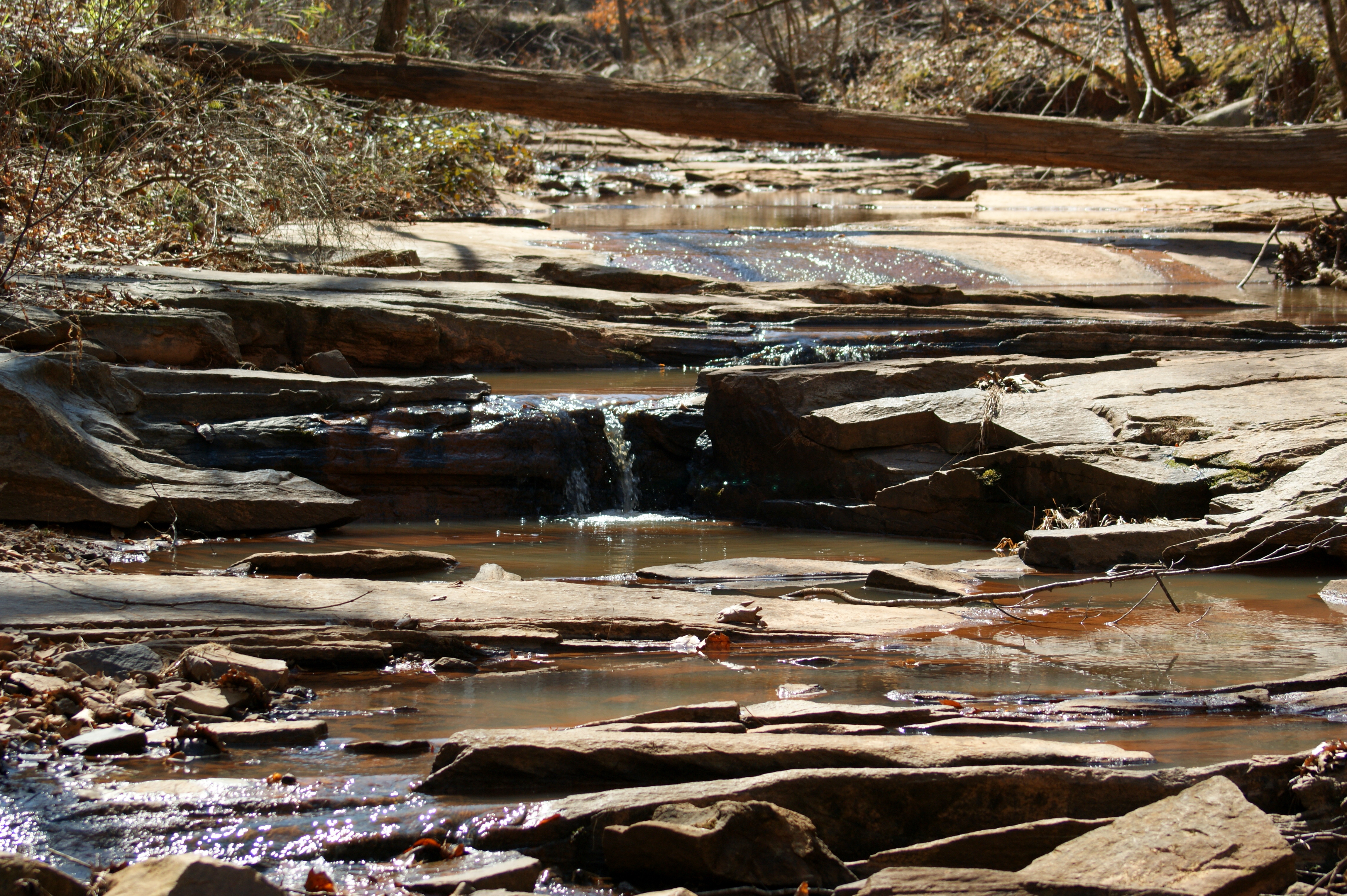
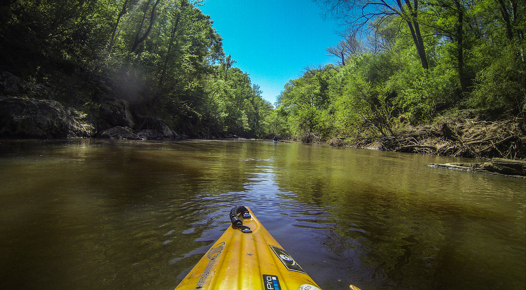
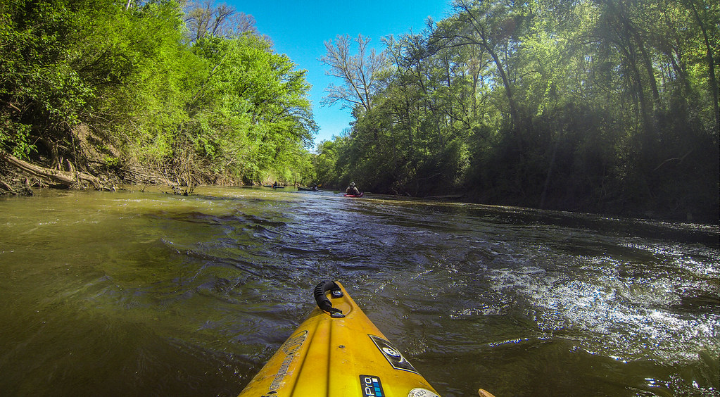
Stevens Creek
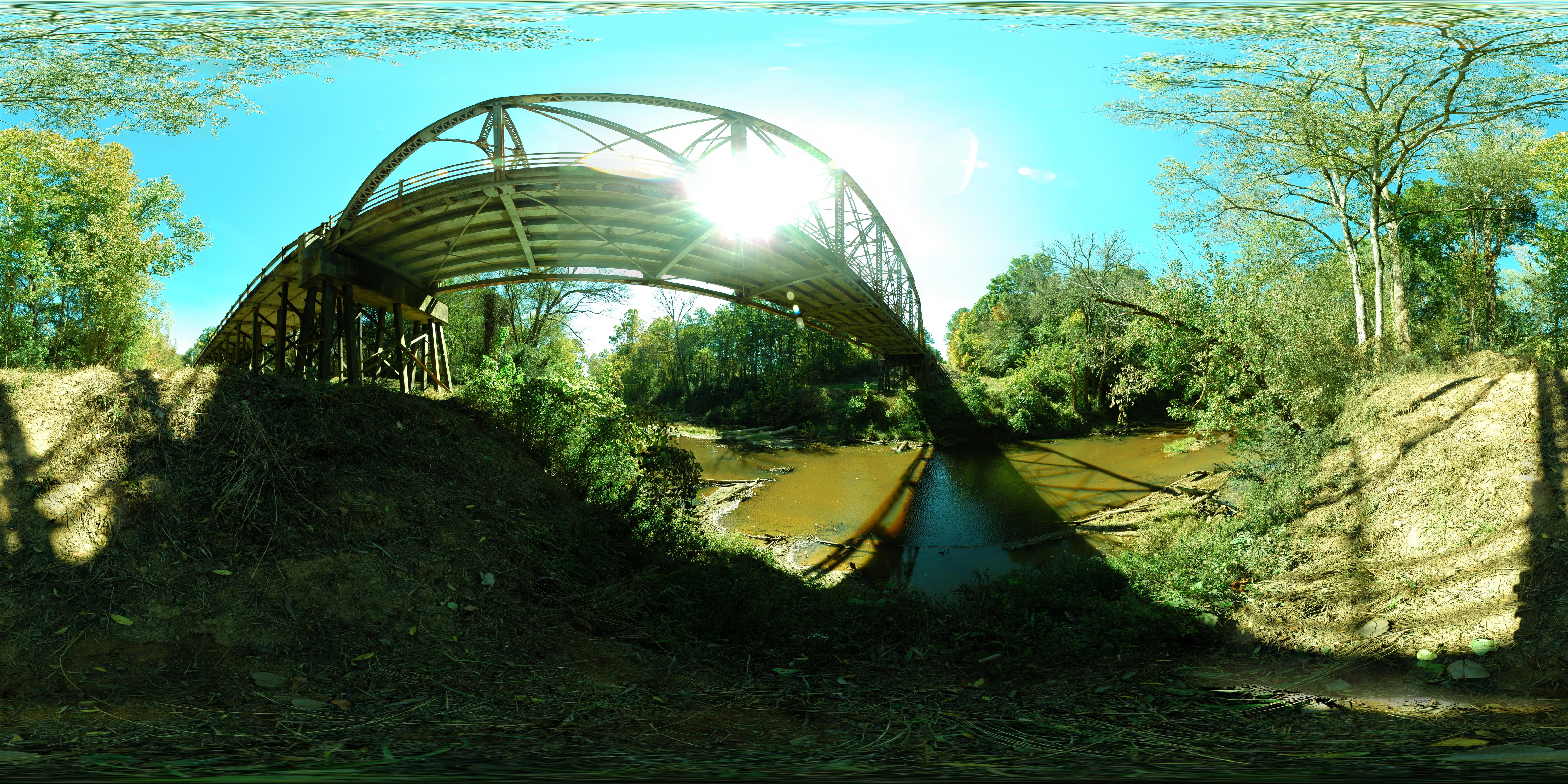
Steven's Creek Heritage Preserve (Bridge)
Steven's Creek Heritage Preserve - Overlook
Key Branch
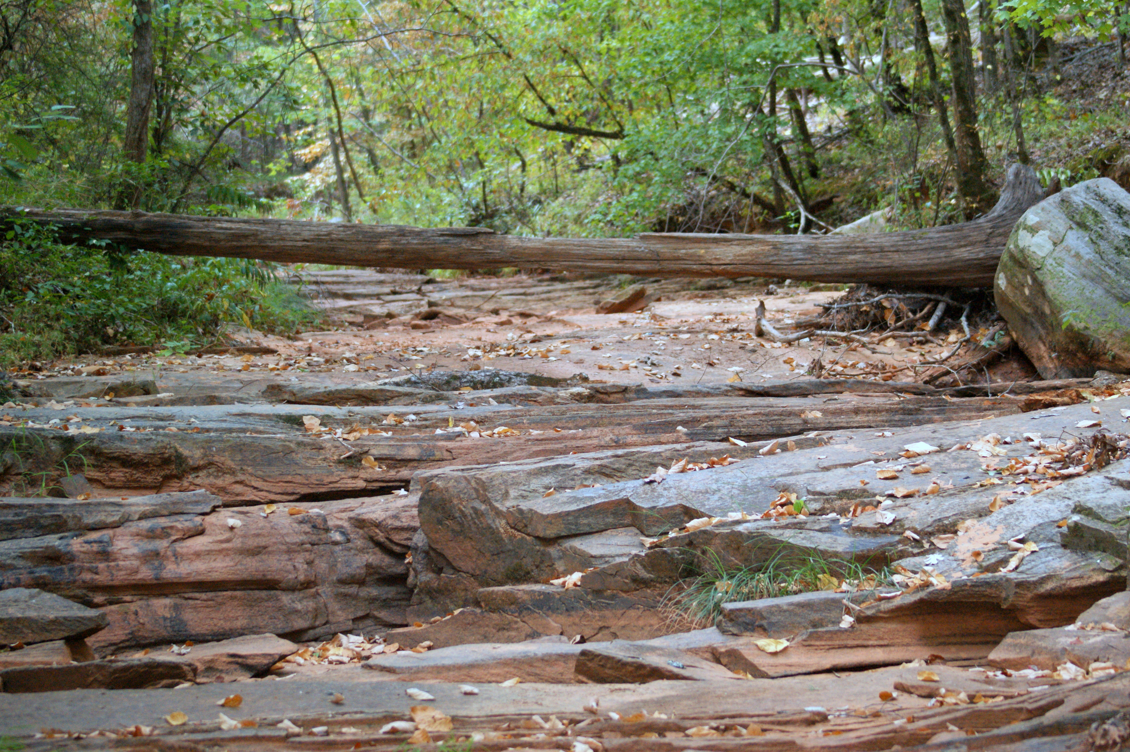
Dry Creek Bed
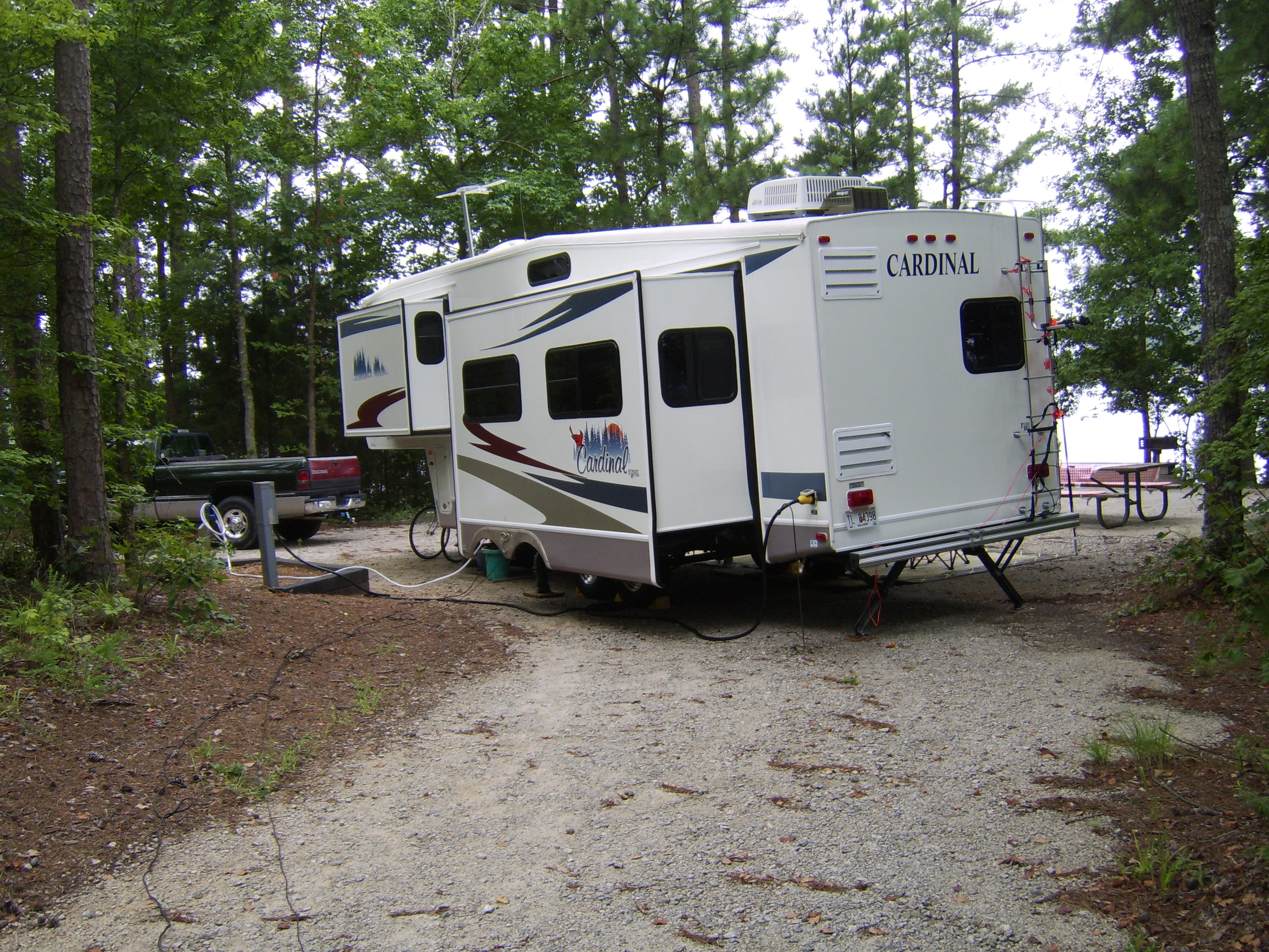
Winfield Campground, Appling, GA
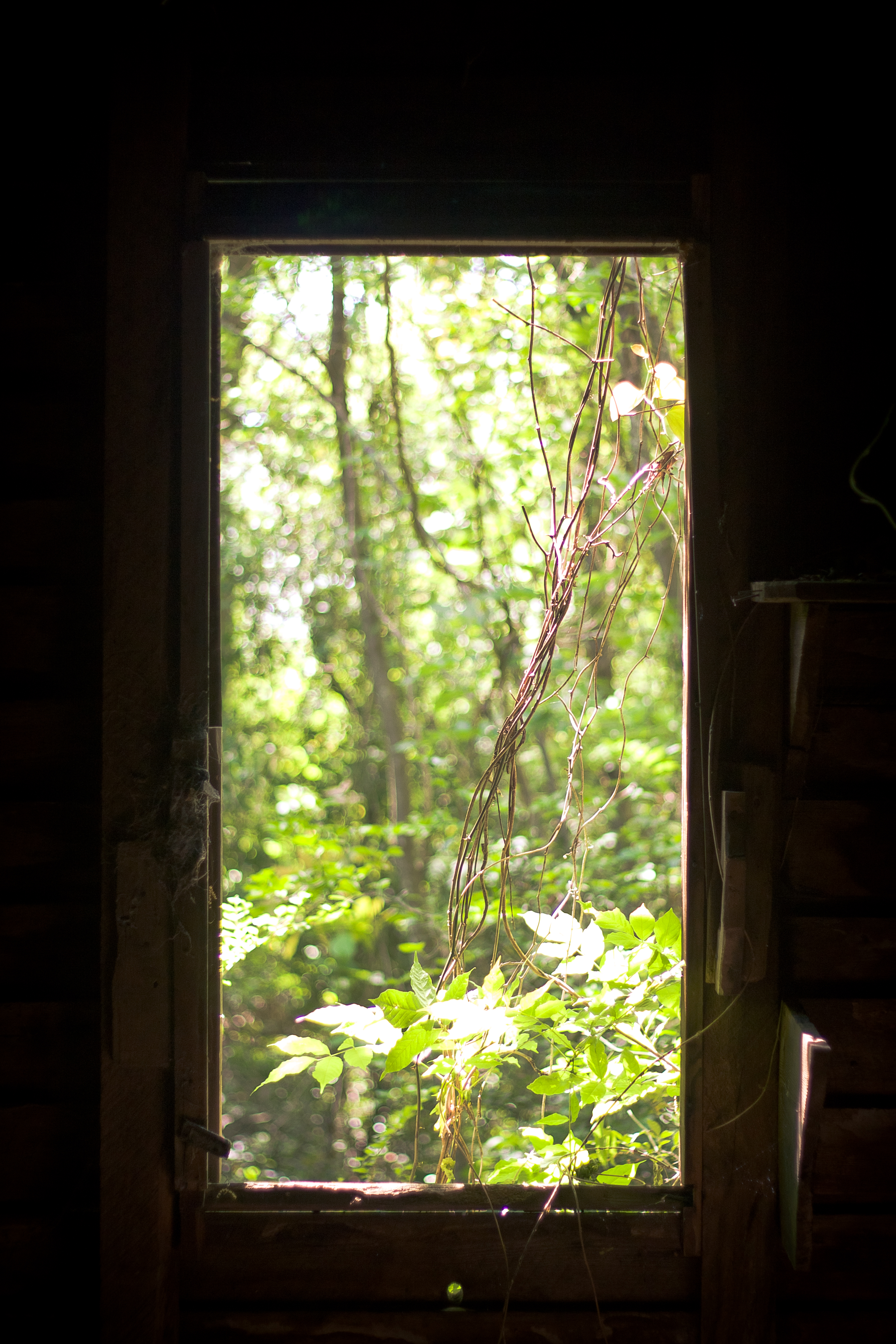
Deserted...for good reason
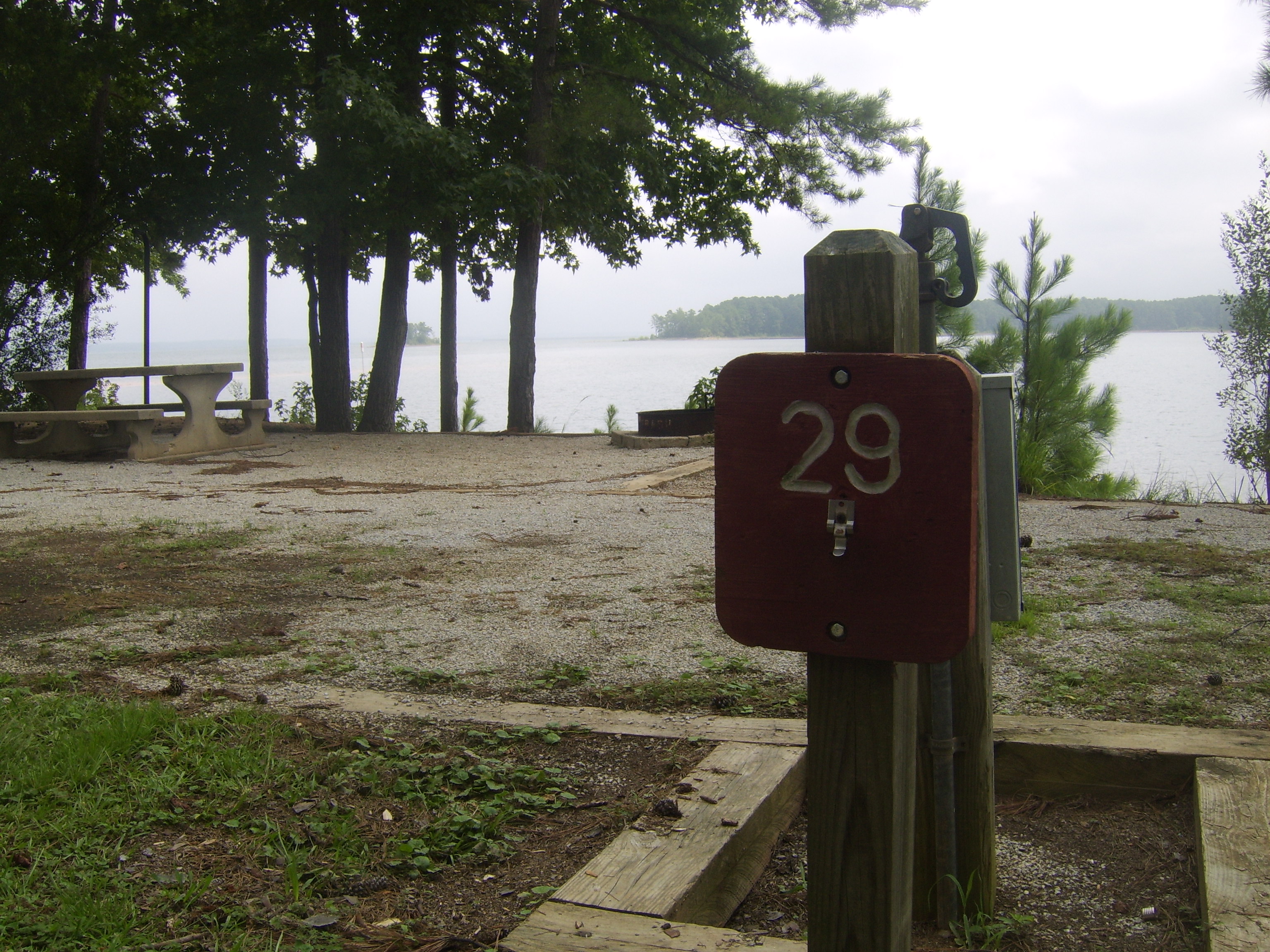
Winfield Campground, Appling, GA
An Overgrown View
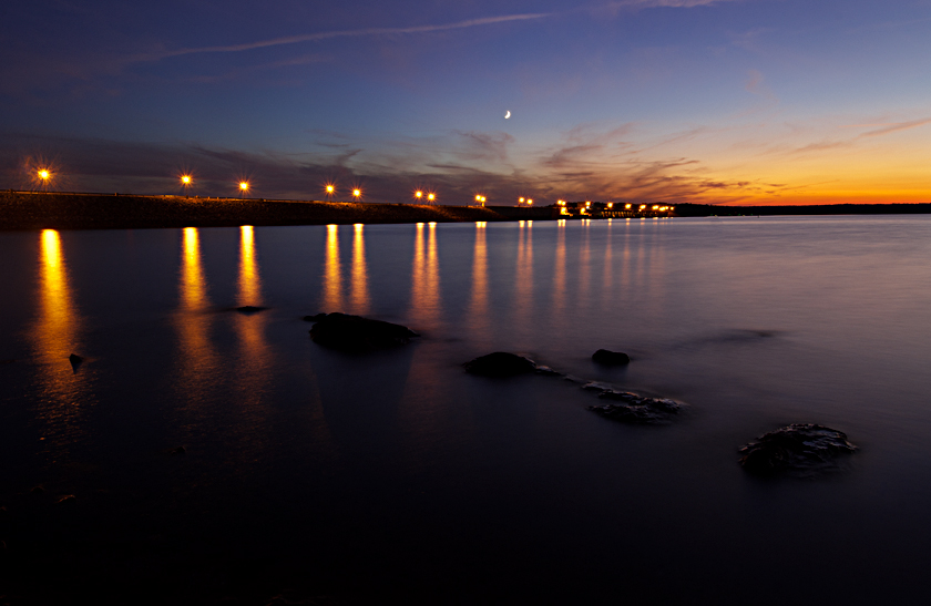
The Dam

Happy Hour
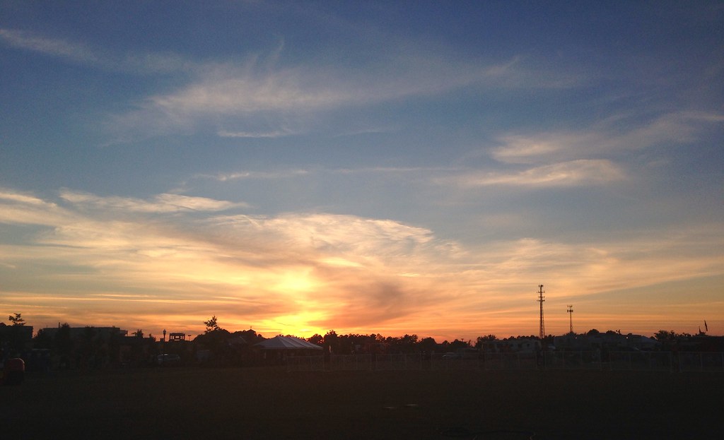
Vanishing Light

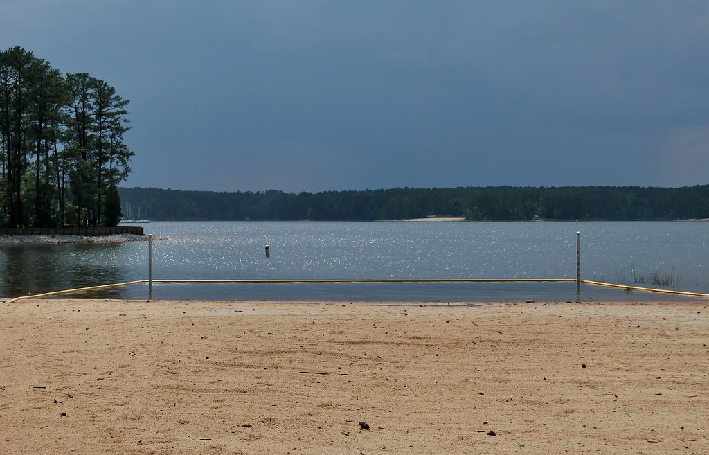
Sandy Sandals

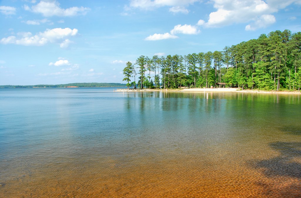
Strom Thurmond Lake

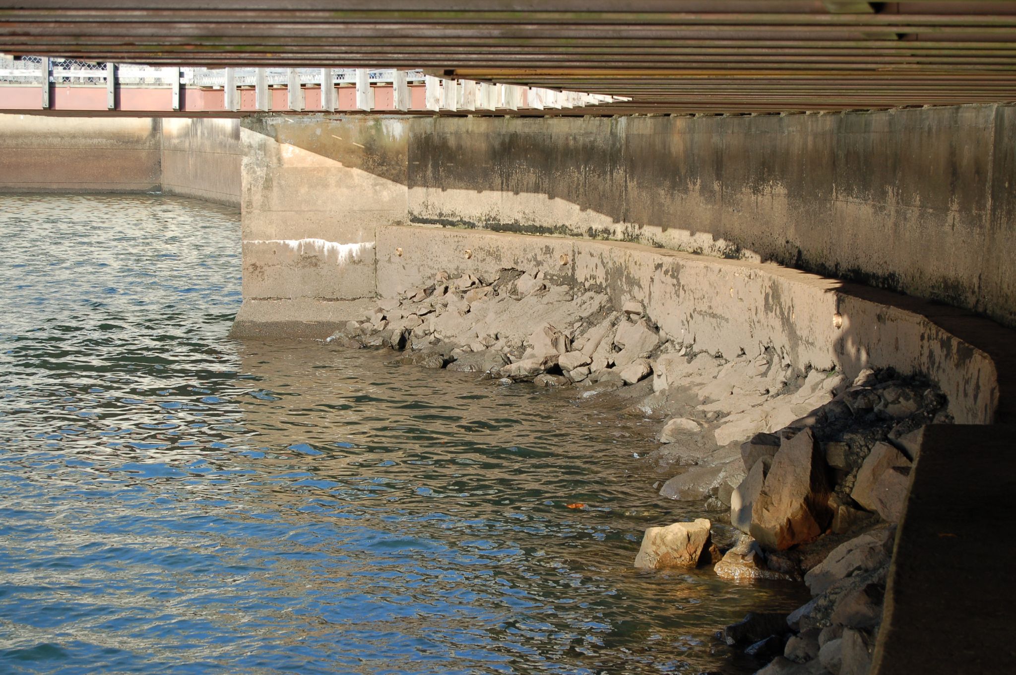
Strom Thurmond Dam
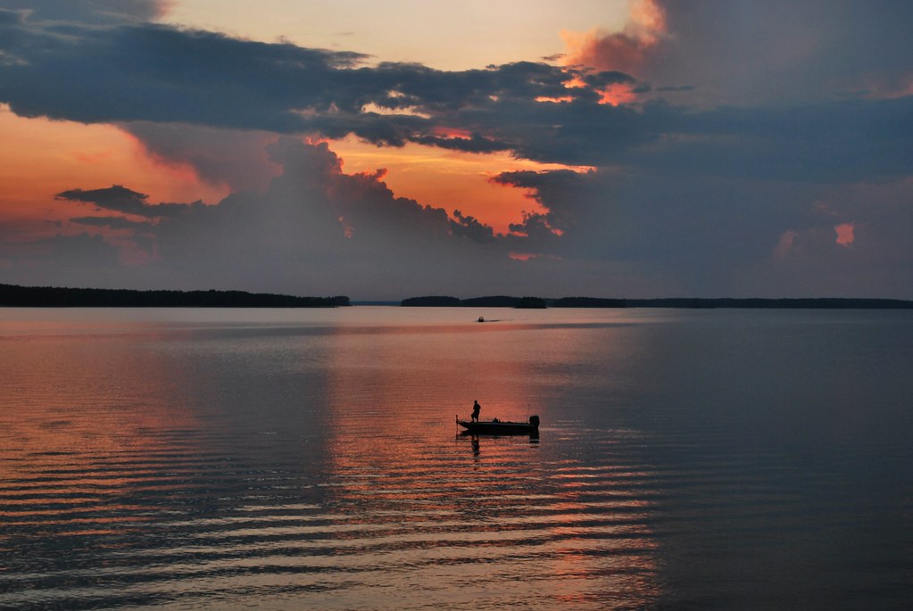
Fishing by the sunset
Turkey and Stevens Creeks-275
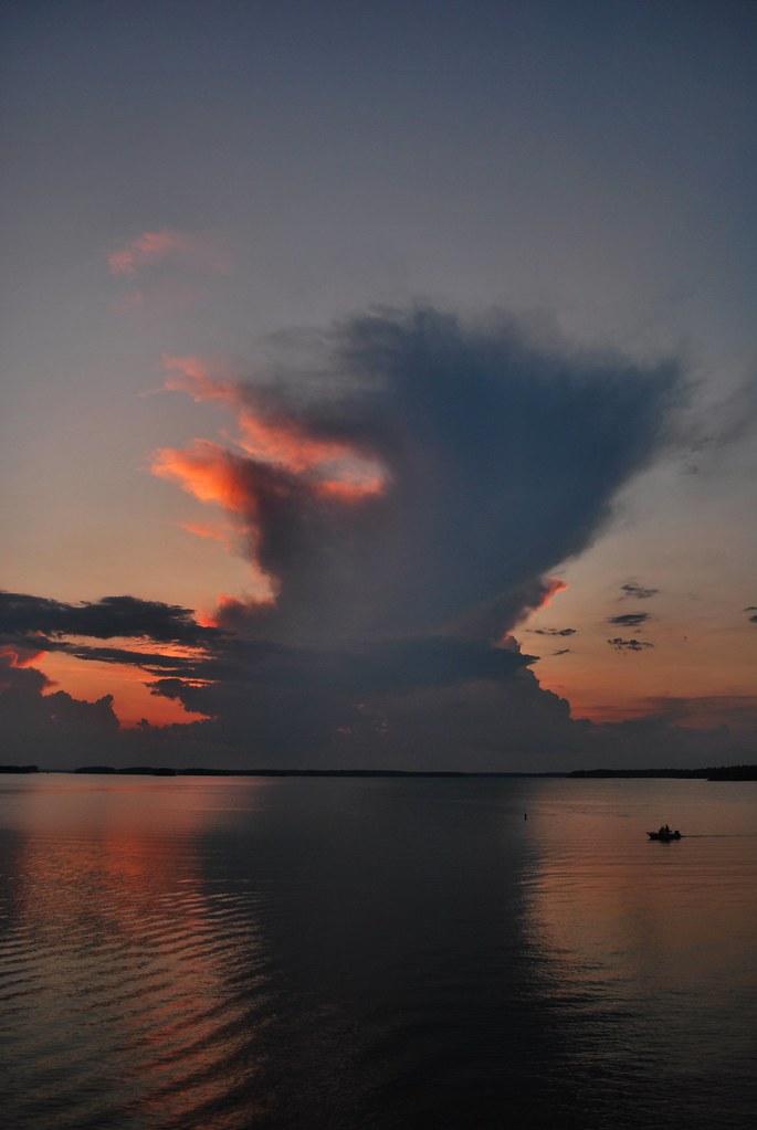
Giant clouds
Desert Island.....

Enemion biternatum (False Rue-anemone)
Turkey and Stevens Creeks-279

Heggies Rock
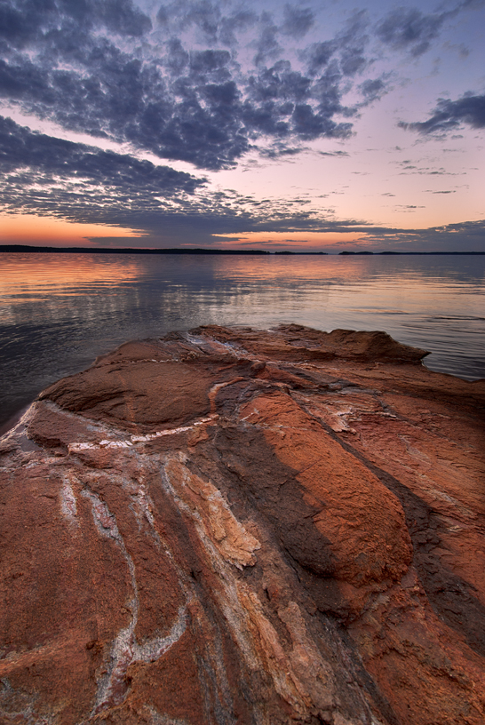
Clarks Hill Lake Sunset

The first of the rain from tropical storm Beryl

Strom Thurmond Lake
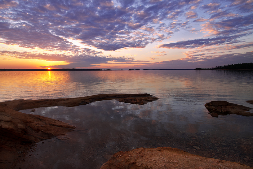
Clarks Hill Lake Sunset
Strom Thurmond Dam at Twilight
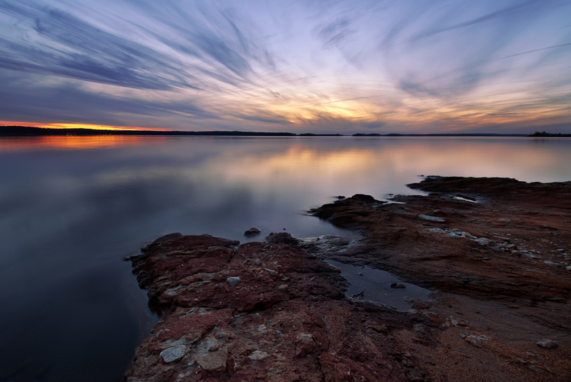
Clarks Hill Lake Sunset
Topographic Map of Burks Mountain Rd, Appling, GA, USA
Find elevation by address:

Places near Burks Mountain Rd, Appling, GA, USA:
Burks Mountain Rd, Appling, GA, USA
Burks Mountain Road
Petersburg Campground Usace
3998 Petersburg Rd
Lake Springs Recreation Area
4037 Dewaal St
Cumberland Pl, Evans, GA, USA
252 Newland Cir
252 Newland Cir
U.s. 221 North Highway
Clarks Hill
474 Westchester Dr
1412 Aylesbury Dr
Lagoon Drive
4128 Rivermont Dr
4140 Stonegate Dr
1065 Conn Dr
Cannon Mill Court
92 Deer Springs Rd
Roper Ranch Trail
Recent Searches:
- Elevation of 6 Rue Jules Ferry, Beausoleil, France
- Elevation of Sattva Horizon, 4JC6+G9P, Vinayak Nagar, Kattigenahalli, Bengaluru, Karnataka, India
- Elevation of Great Brook Sports, Gold Star Hwy, Groton, CT, USA
- Elevation of 10 Mountain Laurels Dr, Nashua, NH, USA
- Elevation of 16 Gilboa Ln, Nashua, NH, USA
- Elevation of Laurel Rd, Townsend, TN, USA
- Elevation of 3 Nestling Wood Dr, Long Valley, NJ, USA
- Elevation of Ilungu, Tanzania
- Elevation of Yellow Springs Road, Yellow Springs Rd, Chester Springs, PA, USA
- Elevation of Rēzekne Municipality, Latvia