Elevation of Buniyar
Longitude: 74.2003231
Latitude: 34.1008247
Elevation: 1752m / 5748feet
Barometric Pressure: 82KPa
Elevation Map:
Satellite Map:
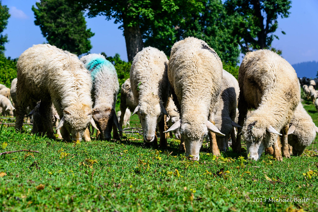
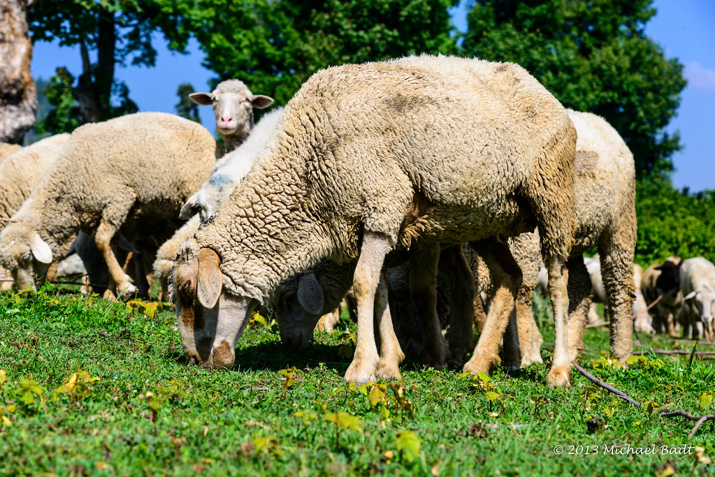
Related Photos:

Top of the world

577 Kashmir Winter

432 Kashmir Valley Winter

461 Kashmir mountain pass
KSMR-2904-20130624.jpg

Gulmarg,Kashmir

KSMR-2903-20130624.jpg

KSMR-2902-20130624.jpg
KSMR-2901-20130624.jpg

KSMR-2900-20130624.jpg

2014_India_044.jpg

KSMR-2905-20130624.jpg

KSMR-2961-20130624.jpg

KSMR-2908-20130624.jpg

KSMR-2897-20130624.jpg

KSMR-2899-20130624.jpg

KSMR-2896-20130624.jpg

KSMR-2991-20130624.jpg

KSMR-2906-20130624.jpg

KSMR-2927-20130624.jpg

KSMR-2921-20130624.jpg
Topographic Map of Buniyar
Find elevation by address:

Places near Buniyar:
Uri Hydle Project Dam
Mount Apharwat
Uri
Kalamula Ajk
Baramulla
Baramulla Bridge
Old Town
Gulmarg
Shaw Inn, Gulmarg
Khilanmarg
Hotel Khyber Road
Tangmarg
Chakothi
Sopore
Kupwara
Poonch
Toli Peer
Leepa
Chinari
Reshian
Recent Searches:
- Elevation of Leguwa, Nepal
- Elevation of County Rd, Enterprise, AL, USA
- Elevation of Kolchuginsky District, Vladimir Oblast, Russia
- Elevation of Shustino, Vladimir Oblast, Russia
- Elevation of Lampiasi St, Sarasota, FL, USA
- Elevation of Elwyn Dr, Roanoke Rapids, NC, USA
- Elevation of Congressional Dr, Stevensville, MD, USA
- Elevation of Bellview Rd, McLean, VA, USA
- Elevation of Stage Island Rd, Chatham, MA, USA
- Elevation of Shibuya Scramble Crossing, 21 Udagawacho, Shibuya City, Tokyo -, Japan