Elevation of Uri
Longitude: 74.0339852
Latitude: 34.0881166
Elevation: 1287m / 4222feet
Barometric Pressure: 87KPa
Elevation Map:
Satellite Map:
Related Photos:

Edge of Space

Uri-Chakothi Border bridge

Lunch Time at Sar, AJK

Clouds Engulfing Keeran Range Peaks

Vale of Flowers

Keeran Peak under Clouds Attack

Flowery meadows

Flowery Meadows

Top of the world

Paradise on Earth

अमन सेतु (Aman Setu)

Line of Control 0 KM
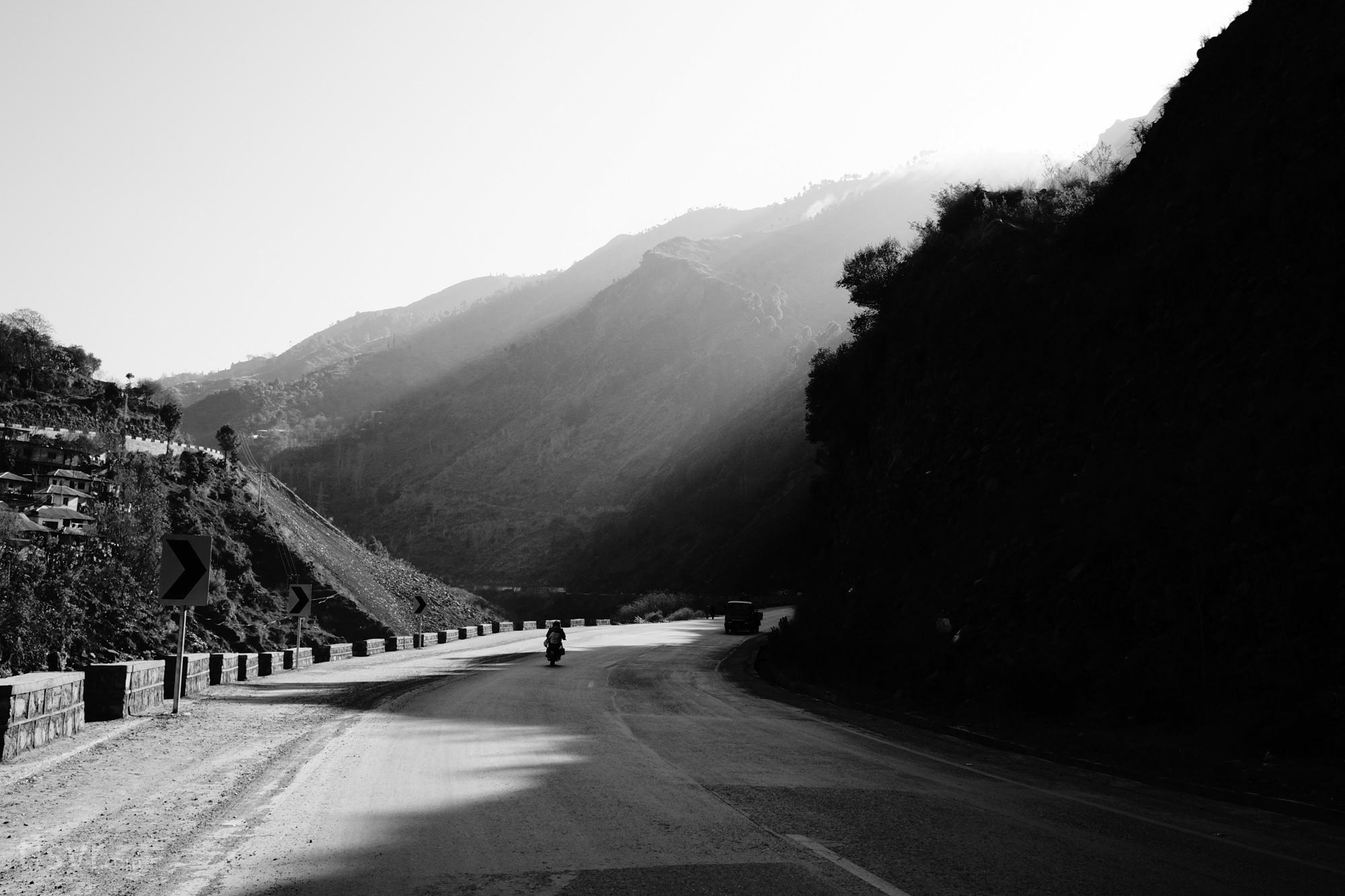
Road to Line of Control

Uri 23KM

Detail of 'Leather Bridge at Uri.'

Bridge of Twigs over the Jhelum at Uri. ( Detail of previous photo )

Bridge of Twigs over the Jhelum at Uri. Kashmir. Circa 1900-10

Leather Rope Bridge at Uri. Kashmir. Circa 1900
Topographic Map of Uri
Find elevation by address:

Places near Uri:
Chakothi
Uri Hydle Project Dam
Buniyar
Kalamula Ajk
Chinari
Toli Peer
Leepa
Bagh
Reshian
Mount Apharwat
Azad Jammu And Kashmir
Hattian Bala
Poonch
Baramulla Bridge
Old Town
Baramulla
Rawalakot Airport راولاکوٹ ائیرپورٹ چک بازار
Gulmarg
Shaw Inn, Gulmarg
Banjosa Lake
Recent Searches:
- Elevation of 12 Hutchinson Woods Dr, Fletcher, NC, USA
- Elevation of Holloway Ave, San Francisco, CA, USA
- Elevation of Norfolk, NY, USA
- Elevation of - San Marcos Pass Rd, Santa Barbara, CA, USA
- Elevation of th Pl SE, Issaquah, WA, USA
- Elevation of 82- D Rd, Captain Cook, HI, USA
- Elevation of Harlow CM20 2PR, UK
- Elevation of Shenyang Agricultural University, Dong Ling Lu, Shen He Qu, Shen Yang Shi, Liao Ning Sheng, China
- Elevation of Alpha Dr, Melbourne, FL, USA
- Elevation of Hiroshima University, 1-chōme-3-2 Kagamiyama, Higashihiroshima, Hiroshima -, Japan