Elevation of Bull Run, VA, USA
Location: United States > Virginia > Prince William County > Gainesville >
Longitude: -77.520545
Latitude: 38.783726
Elevation: 86m / 282feet
Barometric Pressure: 100KPa
Elevation Map:
Satellite Map:
Related Photos:

Amber Waves Afternoon ~ Explore ~

“Get outside. Watch the sunrise. Watch the sunset. How does that make you feel? Does it make you feel big or tiny? Because there's something good about feeling both.” -Amy Grant @manassasnps #manassasnationalbattlefieldpark #exploreva #sunrise #findyourpa

Sea of Grain Sunset
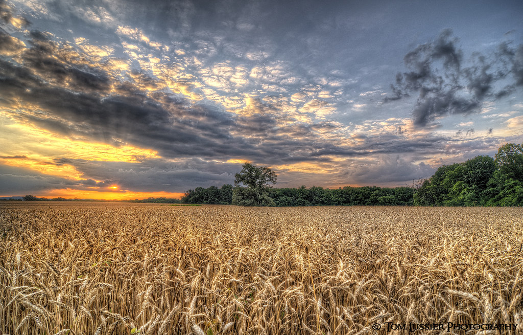
Amber Waves Sunset

The Henry House - Manassas Battlefield

SHOW Me CARFAX

Day Dreaming about the Beach (Fairfax Illusions)
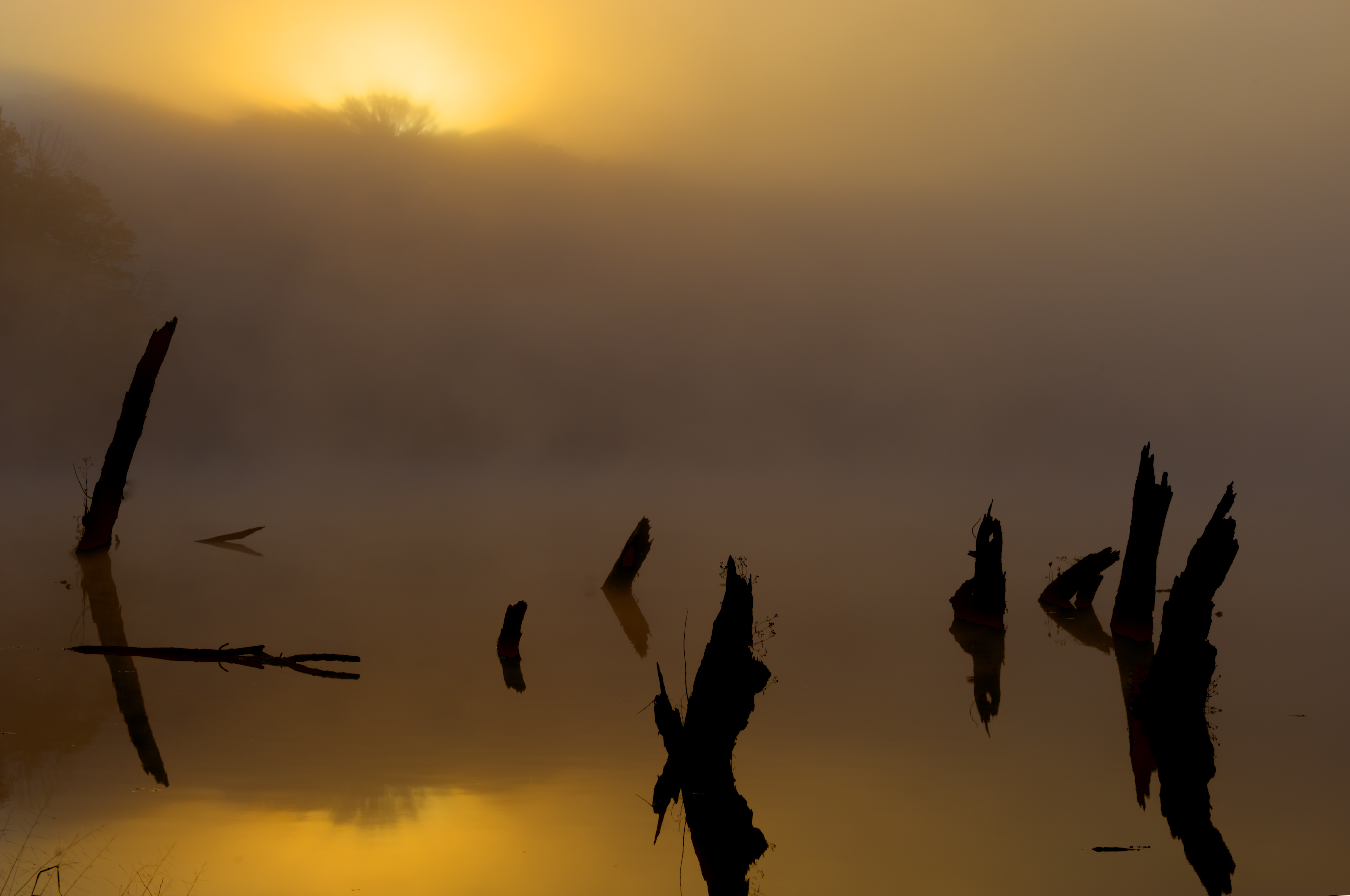
Eerie Glow

Lily Pads on Walney Pond Centreville VA on Fall Day

Lone Tree at Manassas National Battlefield Park - Manassas VA

Blue & Gray Souls on a November Day

At Peak

above the trees: clouds

Sunset at Manassas National Battlefield Park - Virginia

Eastern Redcedar on Henry Hill of Manassas National Battlefield Park

House on a Hill

Manassas National Battlefield Park - Manassas VA

Country Road Dreamin' ~ Explore ~

Autumn Trees at Sunrise

Abandon Road and Trees at Lawrence Park Centreville VA

Walney Pond
Topographic Map of Bull Run, VA, USA
Find elevation by address:

Places near Bull Run, VA, USA:
7559 Orchid Ct
10530 Stonington Ln
10530 Stonington Ln
8200 Bethlehem Rd
8920 Golden Oak Dr
Arlington Ave, Manassas, VA, USA
Edmonston Drive
9735 Zimbro Ave
8898 Tenbury Ct
Sherborne Street
Whitchurch Court
The Winery At Bull Run
9841 Upper Mill Loop
9508 Sandy Ct
Manassas Park
7973 Sequoia Park Way
7977 Sequoia Park Way
10100 Grape Myrtle Ct
9649 Shannon Ln
Manassas
Recent Searches:
- Elevation of Elwyn Dr, Roanoke Rapids, NC, USA
- Elevation of Congressional Dr, Stevensville, MD, USA
- Elevation of Bellview Rd, McLean, VA, USA
- Elevation of Stage Island Rd, Chatham, MA, USA
- Elevation of Shibuya Scramble Crossing, 21 Udagawacho, Shibuya City, Tokyo -, Japan
- Elevation of Jadagoniai, Kaunas District Municipality, Lithuania
- Elevation of Pagonija rock, Kranto 7-oji g. 8"N, Kaunas, Lithuania
- Elevation of Co Rd 87, Jamestown, CO, USA
- Elevation of Tenjo, Cundinamarca, Colombia
- Elevation of Côte-des-Neiges, Montreal, QC H4A 3J6, Canada