Elevation of Bull Canyon Provincial Park, Alexis Creek, BC V0L 1A0, Canada
Location: Canada > British Columbia > Cariboo >
Longitude: -123.37319
Latitude: 52.0911702
Elevation: 863m / 2831feet
Barometric Pressure: 91KPa
Elevation Map:
Satellite Map:
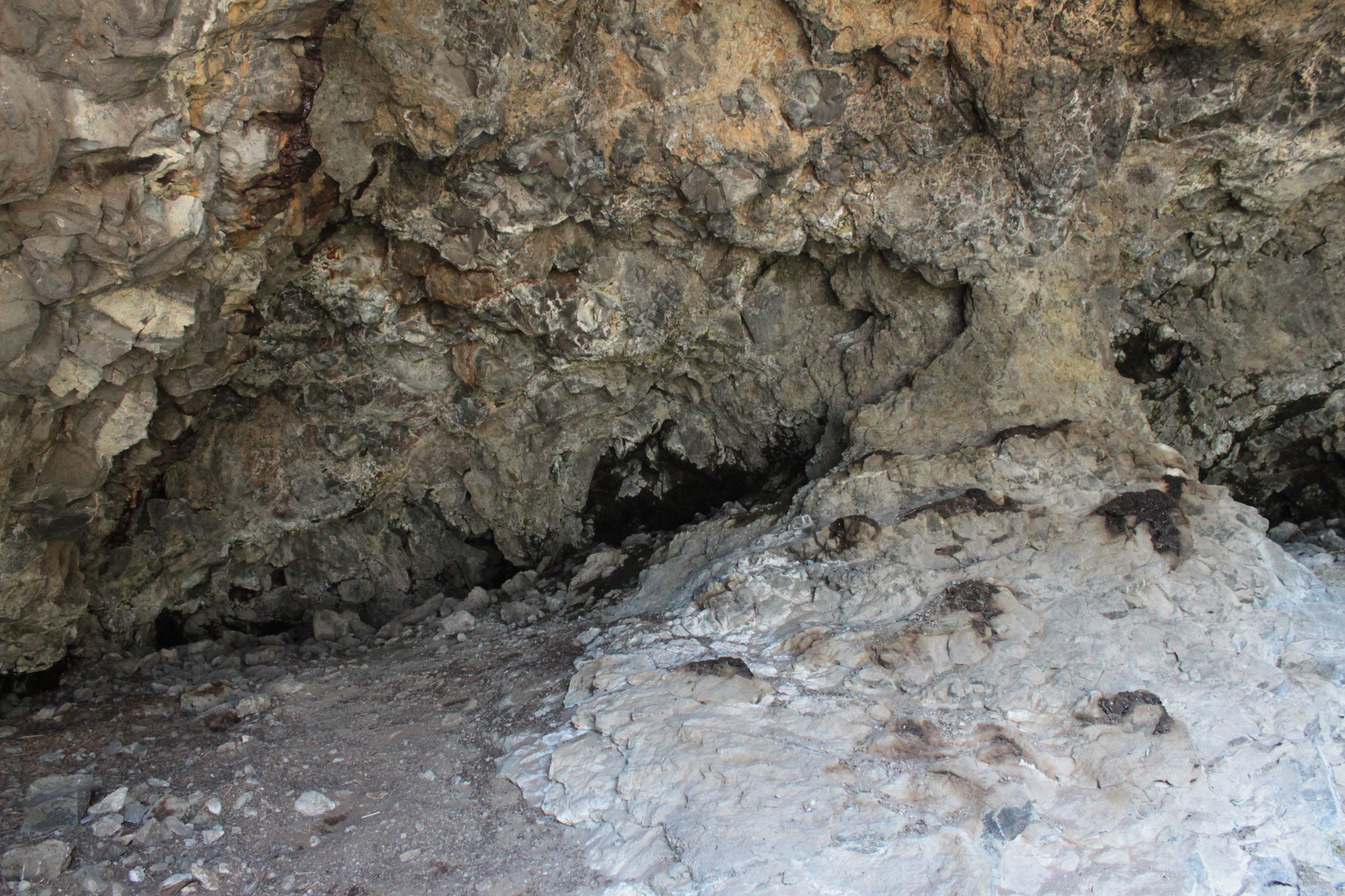
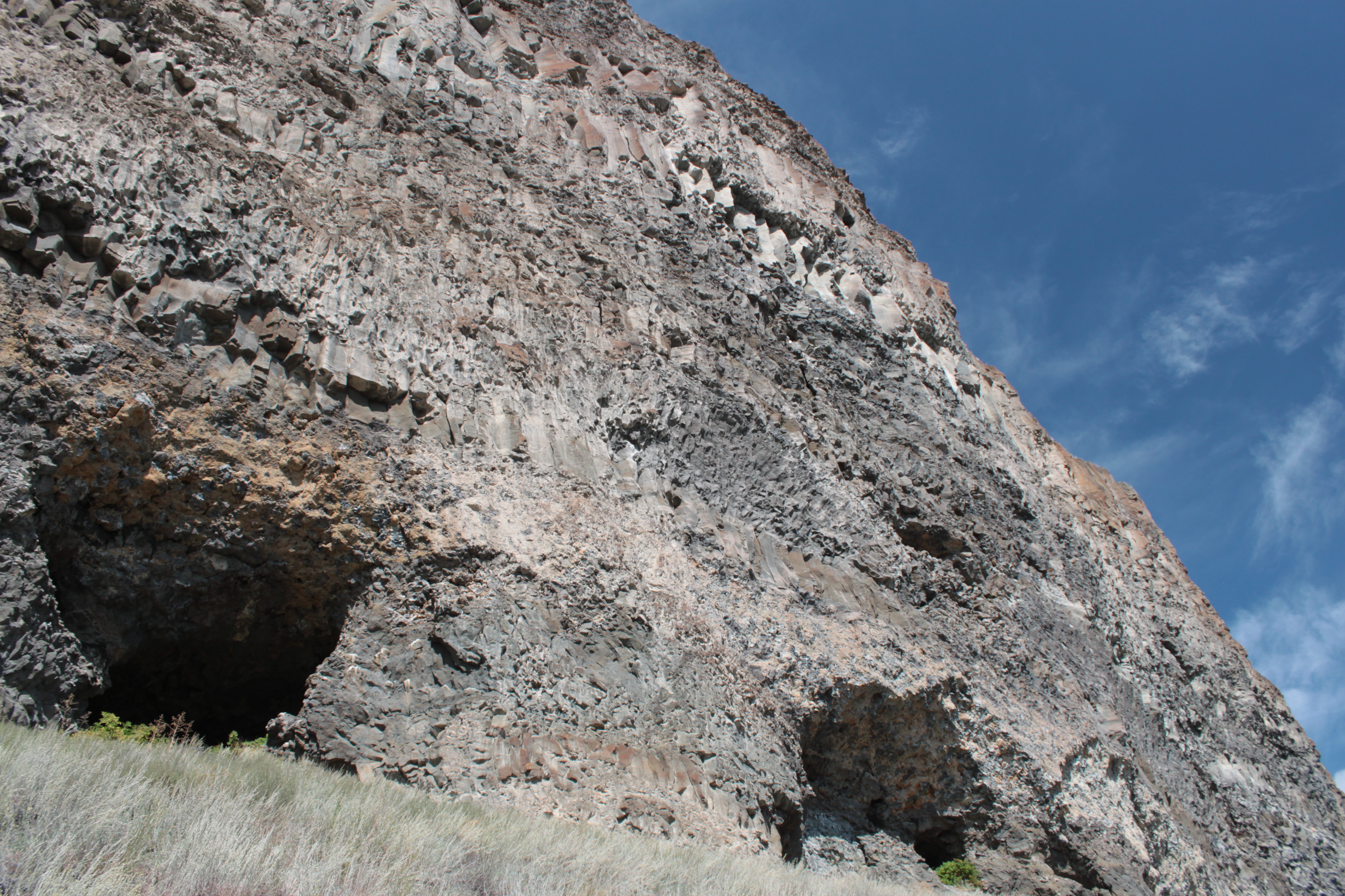
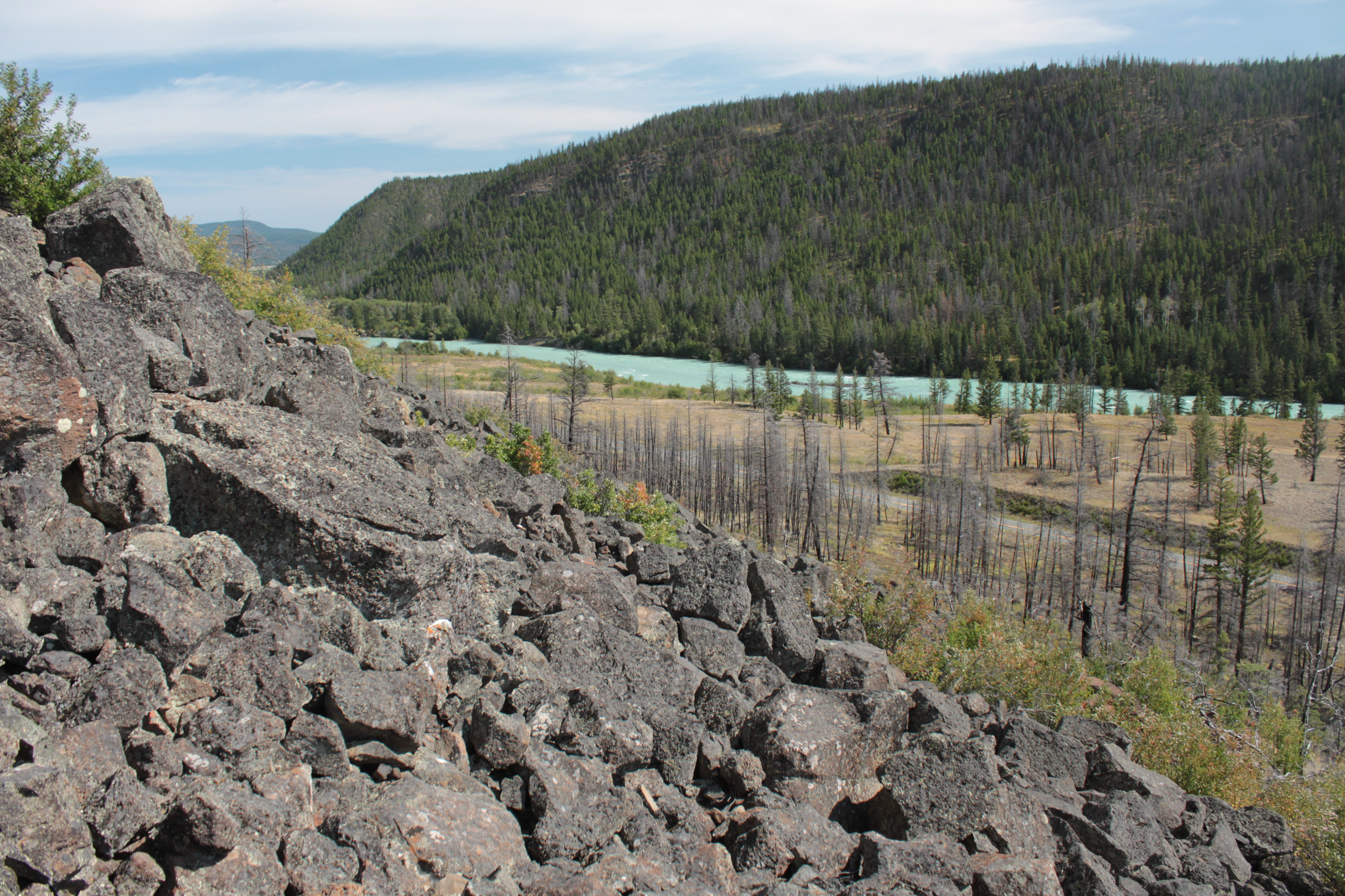
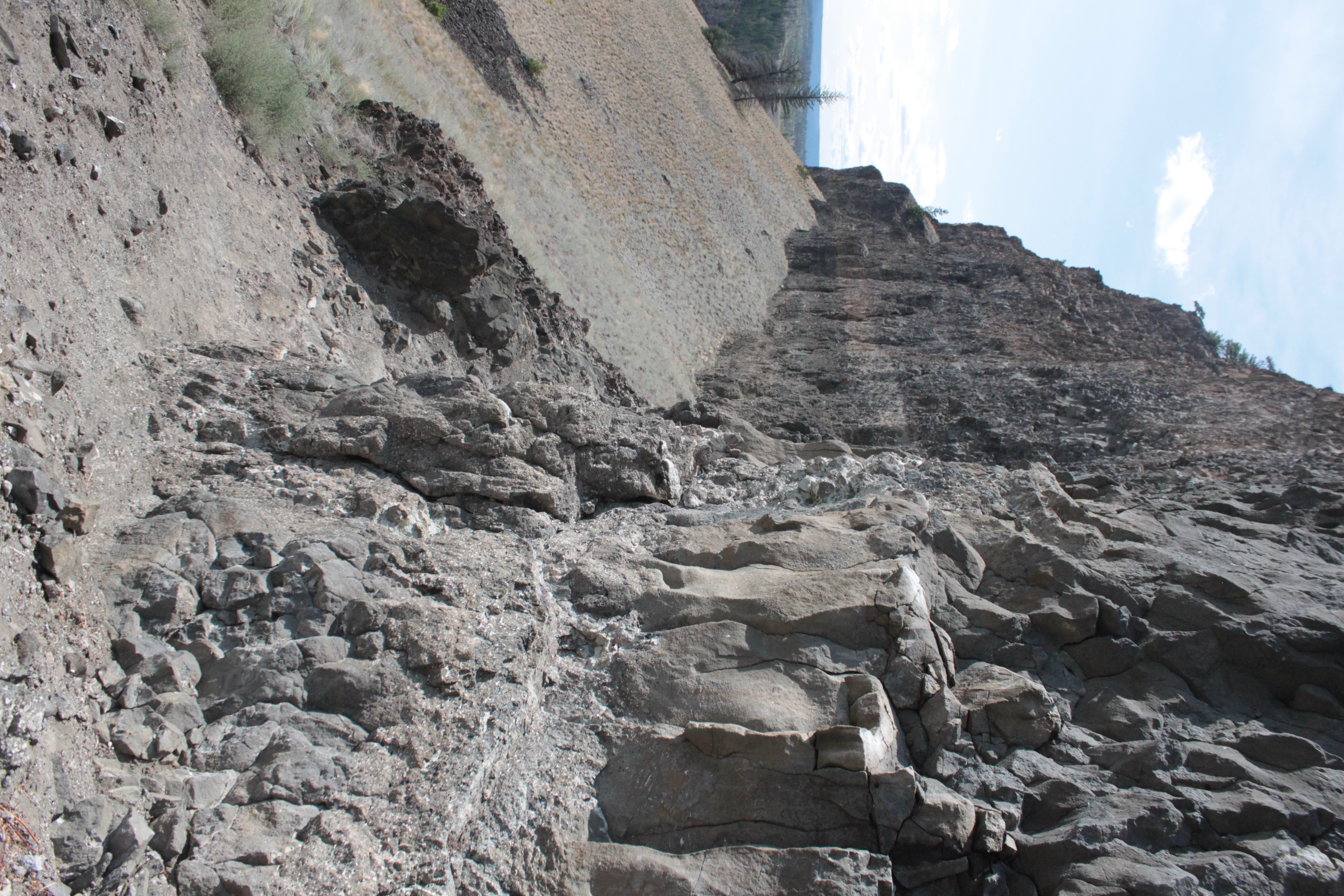
Related Photos:
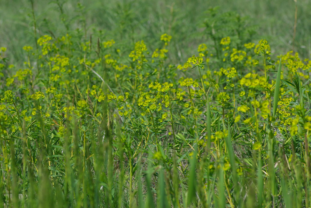
Leafy Spurge - Euphorbia esula

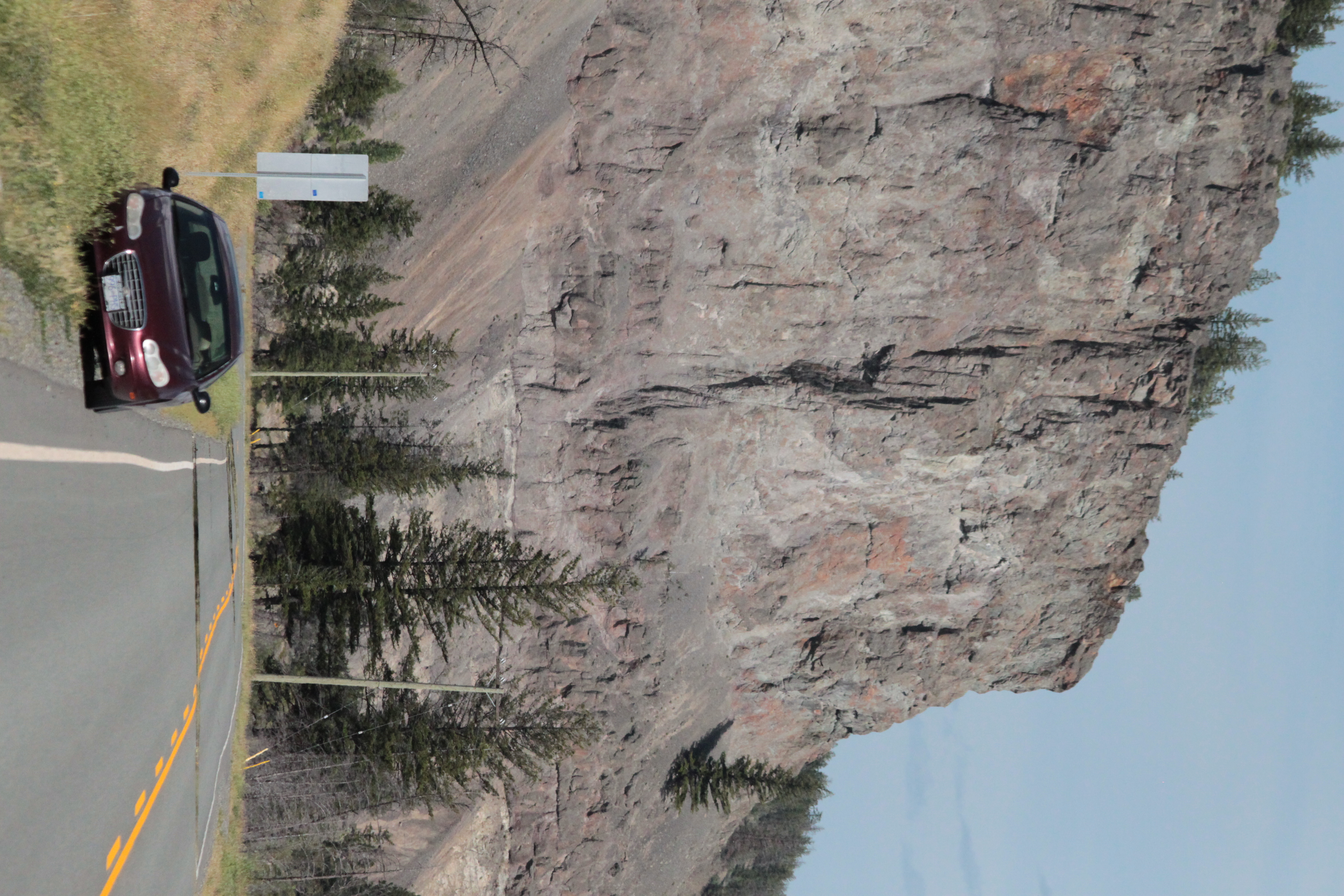
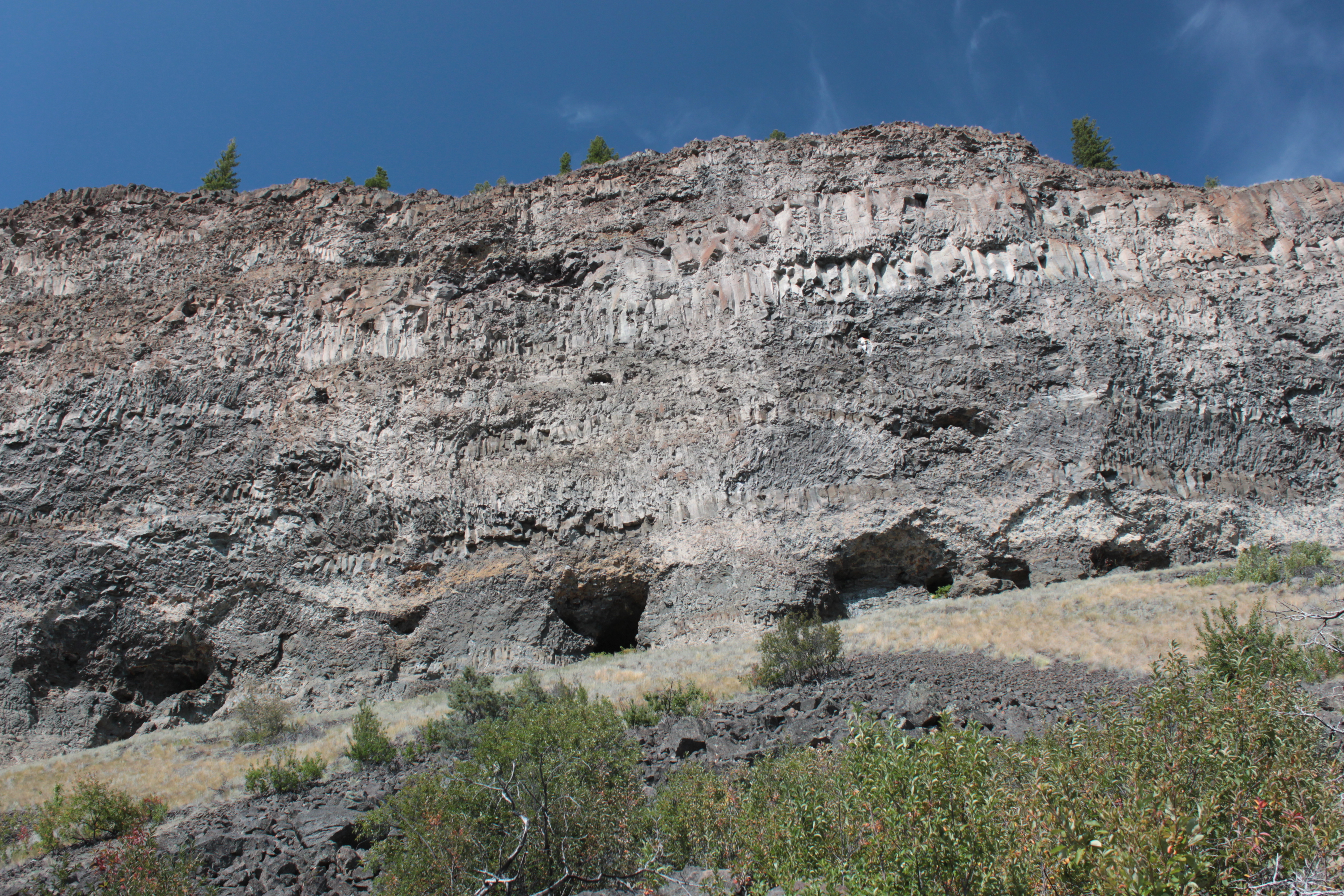
bull canyon rock 2013

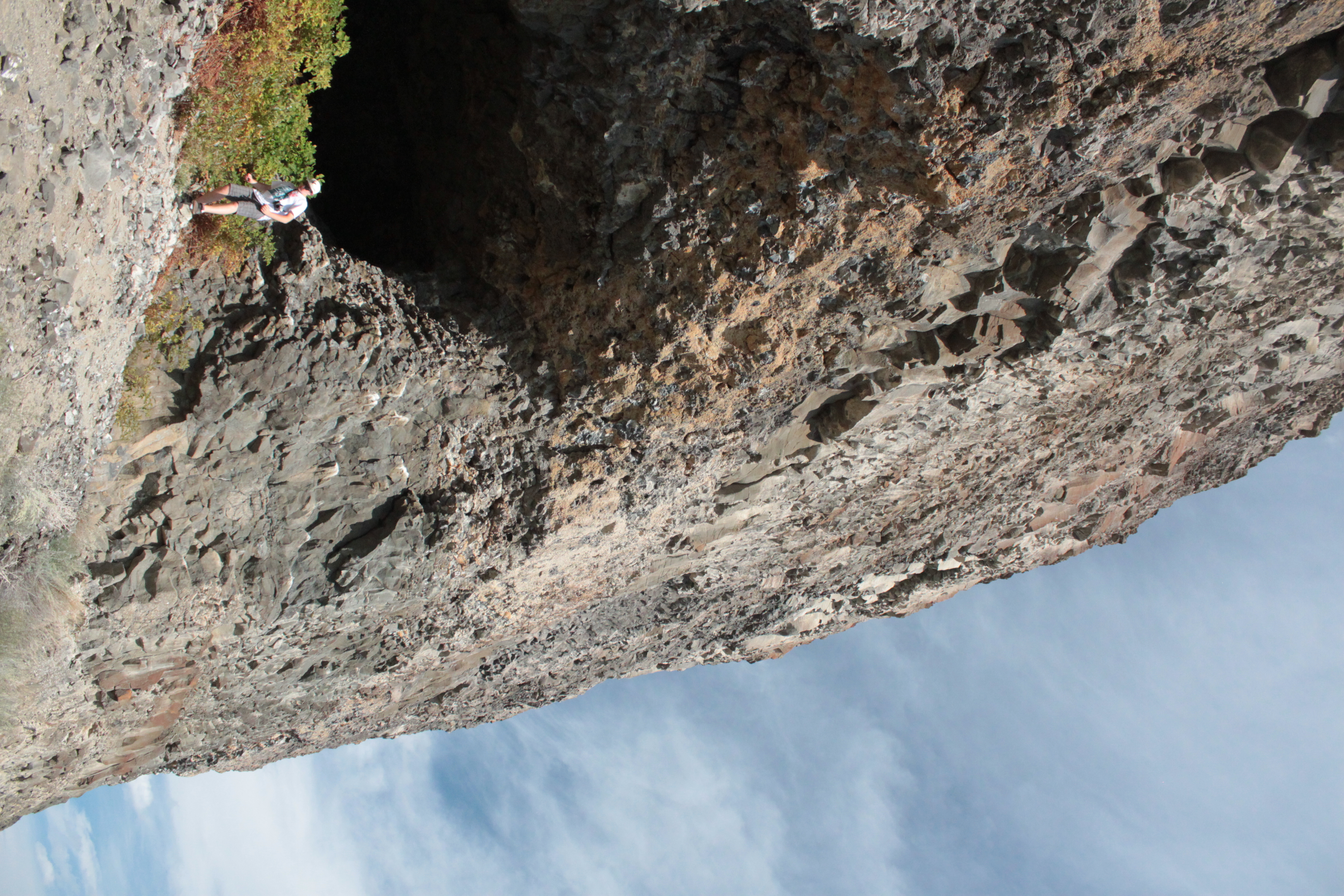
20150817-052
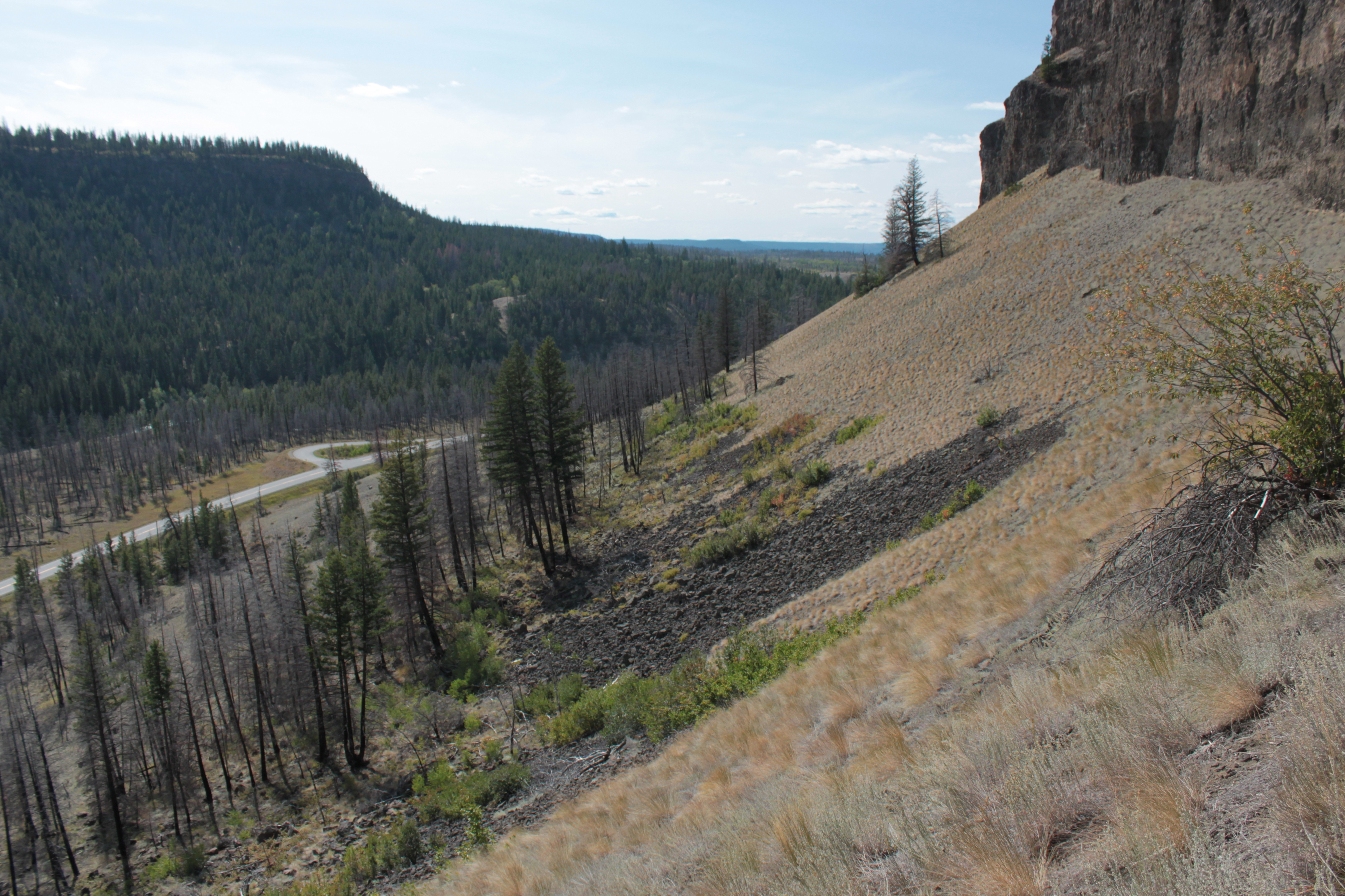
20150817-073
20150817-068

20150817-060
20150817-057
20150817-066
20150817-058
20150817-055

20150817-069
20150817-067
20150817-053
Topographic Map of Bull Canyon Provincial Park, Alexis Creek, BC V0L 1A0, Canada
Find elevation by address:

Places near Bull Canyon Provincial Park, Alexis Creek, BC V0L 1A0, Canada:
Chilcotin-Bella Coola Hwy, Alexis Creek, BC V0L 1A0, Canada
Cariboo
Lavington Road
Lavington Road
Cariboo I
602 Yetta Rd
Bluestone Road
Cariboo A
1149 Marsh Rd
Kersley
Bouchie Lake
938 Stubbington Rd
1471 W Fraser Rd
Marshall Rd, Quesnel, BC V2J 7J2, Canada
Quesnel View
580 Dixon St
Purmal St, Quesnel, BC V2J 4T3, Canada
Healy Street
1702 Dyke Rd
1702 Dyke Rd Unit 114
Recent Searches:
- Elevation of Martins Mill Ct, Eagle Rock, NC, USA
- Elevation of Kippen, Stirling FK8, UK
- Elevation of Sieveringer Straße, Sieveringer Str., Wien, Austria
- Elevation of Bratskaya Ulitsa, 24, Kurgan, Kurganskaya oblast', Russia
- Elevation of Paradisvegen, Biri, Norway
- Elevation of Crystal Cir, Birmingham, AL, USA
- Elevation of N Railroad Ave, West Palm Beach, FL, USA
- Elevation of 55 Cassick Valley Rd, Wellfleet, MA, USA
- Elevation of Ironwood Dr, Minden, NV, USA
- Elevation of 高尾山口駅, Takaomachi, Hachioji, Tokyo -, Japan