Elevation of Cariboo A, BC, Canada
Location: Canada > British Columbia > Cariboo >
Longitude: -122.36788
Latitude: 52.6950341
Elevation: 813m / 2667feet
Barometric Pressure: 92KPa
Elevation Map:
Satellite Map:
Related Photos:
Road Trip - May, 2014

Watching #vikings on the way home
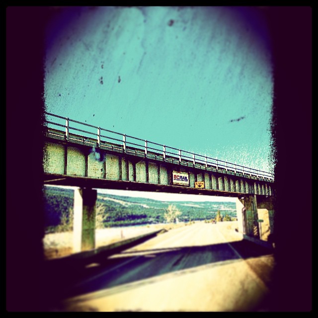
Scenery on the highway
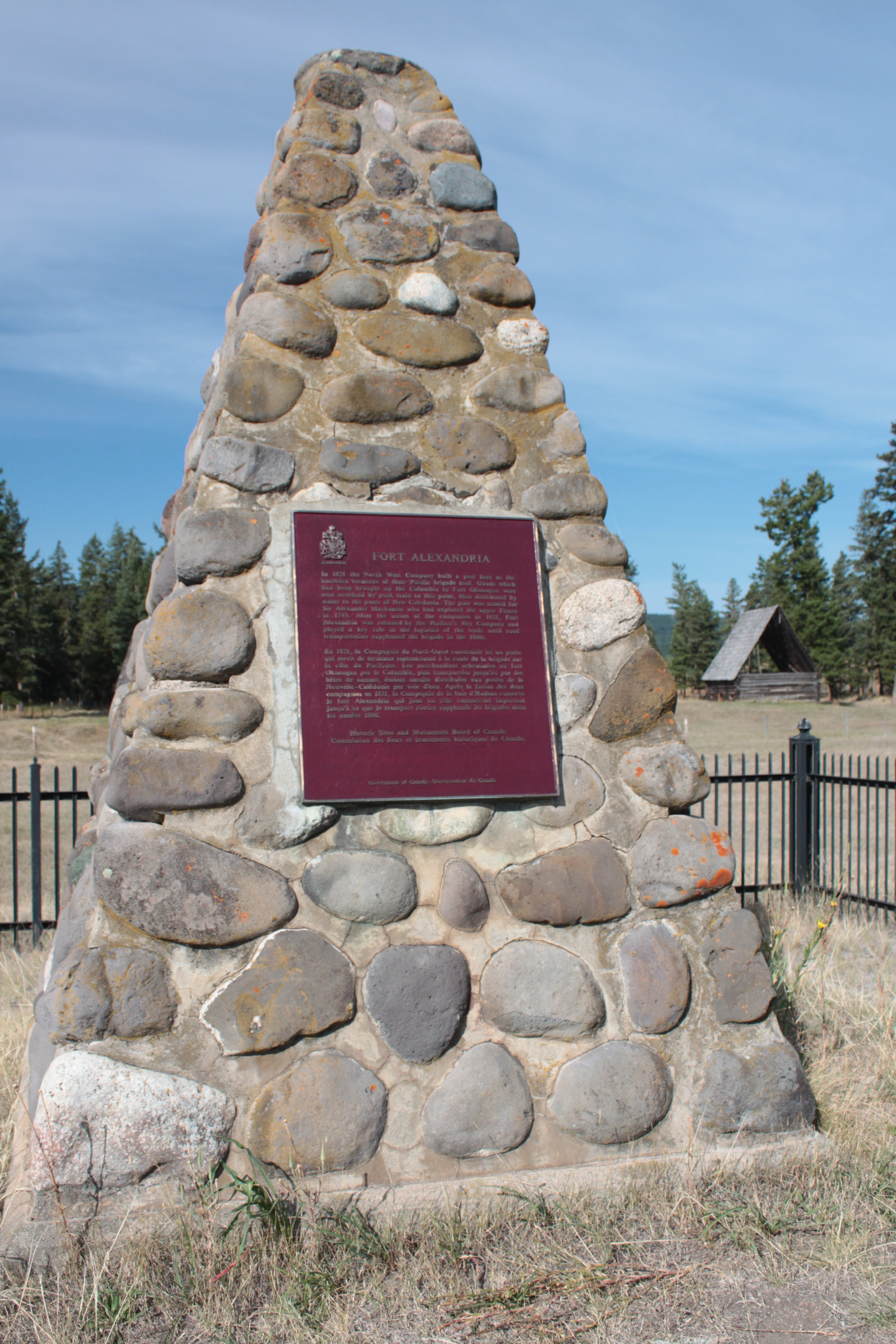
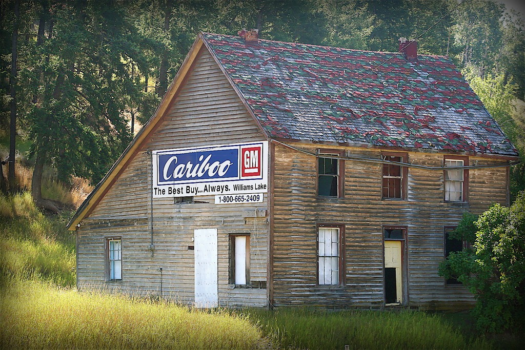
Chilcotin History
20150817-011
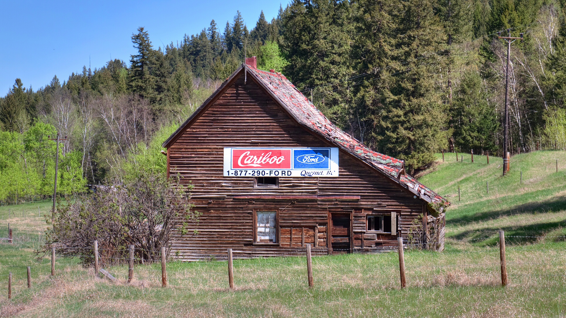
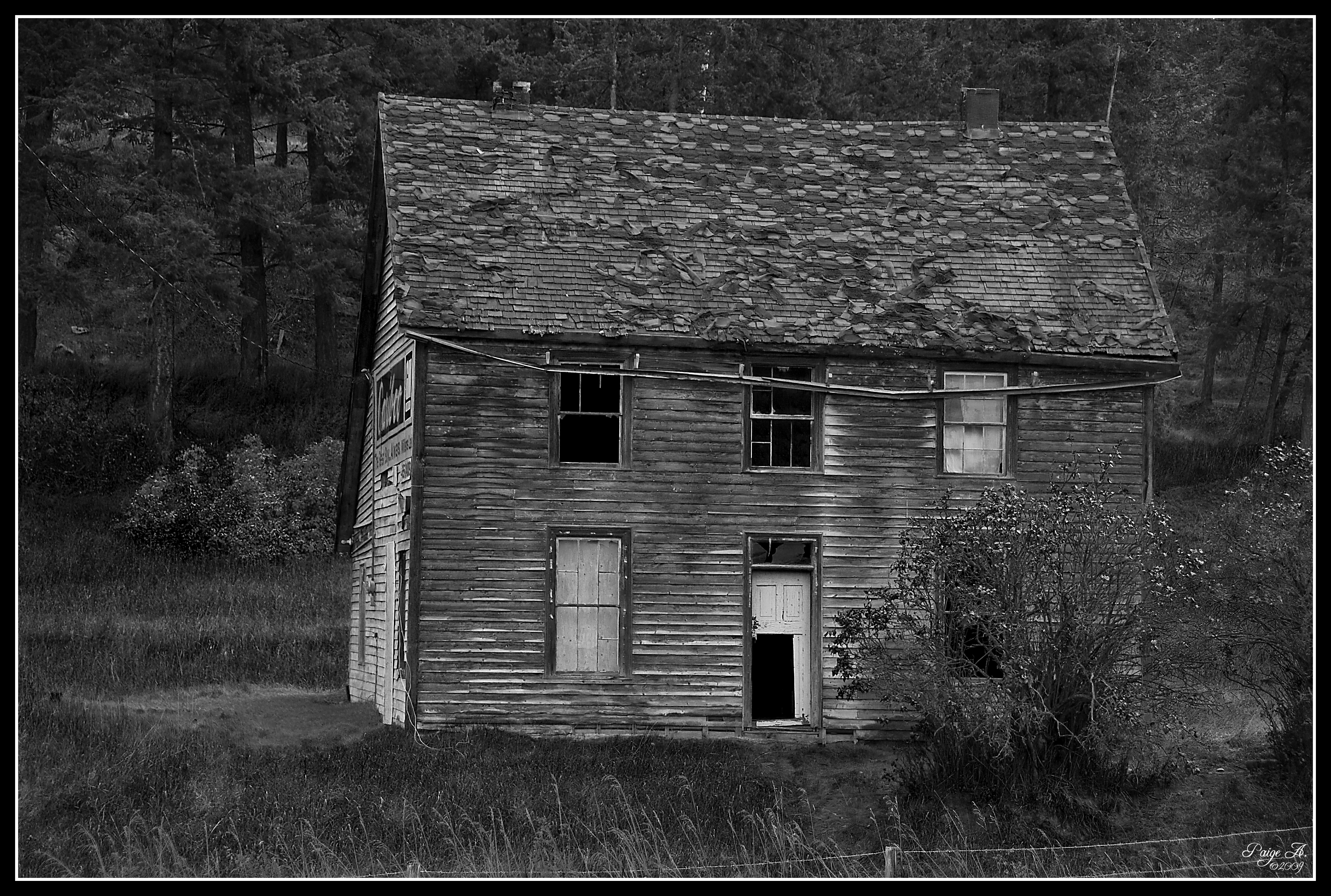
South of Quesnel, BC
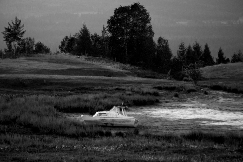
High and dry in the Cariboo
Topographic Map of Cariboo A, BC, Canada
Find elevation by address:

Places in Cariboo A, BC, Canada:
Quesnel Hydraulic Rd, Quesnel, BC V2J 6P9, Canada
Maple Dr, Quesnel, BC V2J 4A2, Canada
Red Bluff
Kersley
Places near Cariboo A, BC, Canada:
Kersley
2001 Feldspar Ave
1471 W Fraser Rd
2437 Dragon View Pl
Maple Dr, Quesnel, BC V2J 4A2, Canada
Red Bluff
1785 Birch Ave
Quesnel View
Quesnel
Purmal St, Quesnel, BC V2J 4T3, Canada
1149 Marsh Rd
Healy Street
580 Dixon St
1702 Dyke Rd
1702 Dyke Rd Unit 114
Big Ben Road
Big Ben Road
721 Destiny Dr
938 Stubbington Rd
Matthews Rd, Quesnel, BC V2J 6V4, Canada
Recent Searches:
- Elevation of Corso Fratelli Cairoli, 35, Macerata MC, Italy
- Elevation of Tallevast Rd, Sarasota, FL, USA
- Elevation of 4th St E, Sonoma, CA, USA
- Elevation of Black Hollow Rd, Pennsdale, PA, USA
- Elevation of Oakland Ave, Williamsport, PA, USA
- Elevation of Pedrógão Grande, Portugal
- Elevation of Klee Dr, Martinsburg, WV, USA
- Elevation of Via Roma, Pieranica CR, Italy
- Elevation of Tavkvetili Mountain, Georgia
- Elevation of Hartfords Bluff Cir, Mt Pleasant, SC, USA