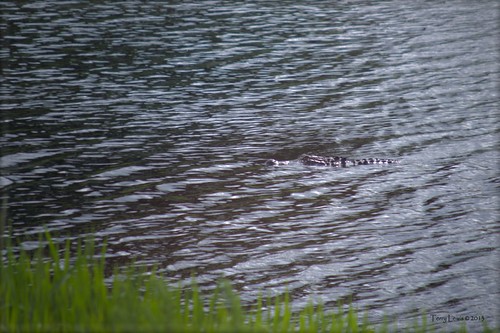
Elevation of Bug Hill, NC, USA
Location: United States > North Carolina > Columbus County > Bug Hill >
Longitude: -78.643903
Latitude: 34.0787816
Elevation: 12m / 39feet
Barometric Pressure: 101KPa
Related Photos:
Topographic Map of Bug Hill, NC, USA
Find elevation by address:

Places near Bug Hill, NC, USA:
John Gore Rd, Nakina, NC, USA
11254 7 Creeks Hwy
Bug Hill
Manley Smith Rd, Nakina, NC, USA
9543 Lebanon Church Rd
Swamp Fox Hwy E, Tabor City, NC, USA
3748 Ash Little River Rd Nw
2619 Ash Little River Rd Nw
6905 Spring Branch Rd Nw
2890 Lake Cool Rd Nw
4605 Lake Cool Rd Nw
4605 Lake Cool Rd Nw
608 Trap Shooter Cir
Willowtree Rv Resort
7781 Etheridge Rd Nw
Ash
3799 Old Buck Creek Rd
3000 Russtown Rd Nw
Longwood
373 Harvest Moon Dr
Recent Searches:
- Elevation of Congressional Dr, Stevensville, MD, USA
- Elevation of Bellview Rd, McLean, VA, USA
- Elevation of Stage Island Rd, Chatham, MA, USA
- Elevation of Shibuya Scramble Crossing, 21 Udagawacho, Shibuya City, Tokyo -, Japan
- Elevation of Jadagoniai, Kaunas District Municipality, Lithuania
- Elevation of Pagonija rock, Kranto 7-oji g. 8"N, Kaunas, Lithuania
- Elevation of Co Rd 87, Jamestown, CO, USA
- Elevation of Tenjo, Cundinamarca, Colombia
- Elevation of Côte-des-Neiges, Montreal, QC H4A 3J6, Canada
- Elevation of Bobcat Dr, Helena, MT, USA


