Elevation of Buckner Rd, Bumpass, VA, USA
Location: United States > Virginia > Louisa County > Jackson > Bumpass >
Longitude: -77.796236
Latitude: 37.9473318
Elevation: 96m / 315feet
Barometric Pressure: 100KPa
Elevation Map:
Satellite Map:
Related Photos:
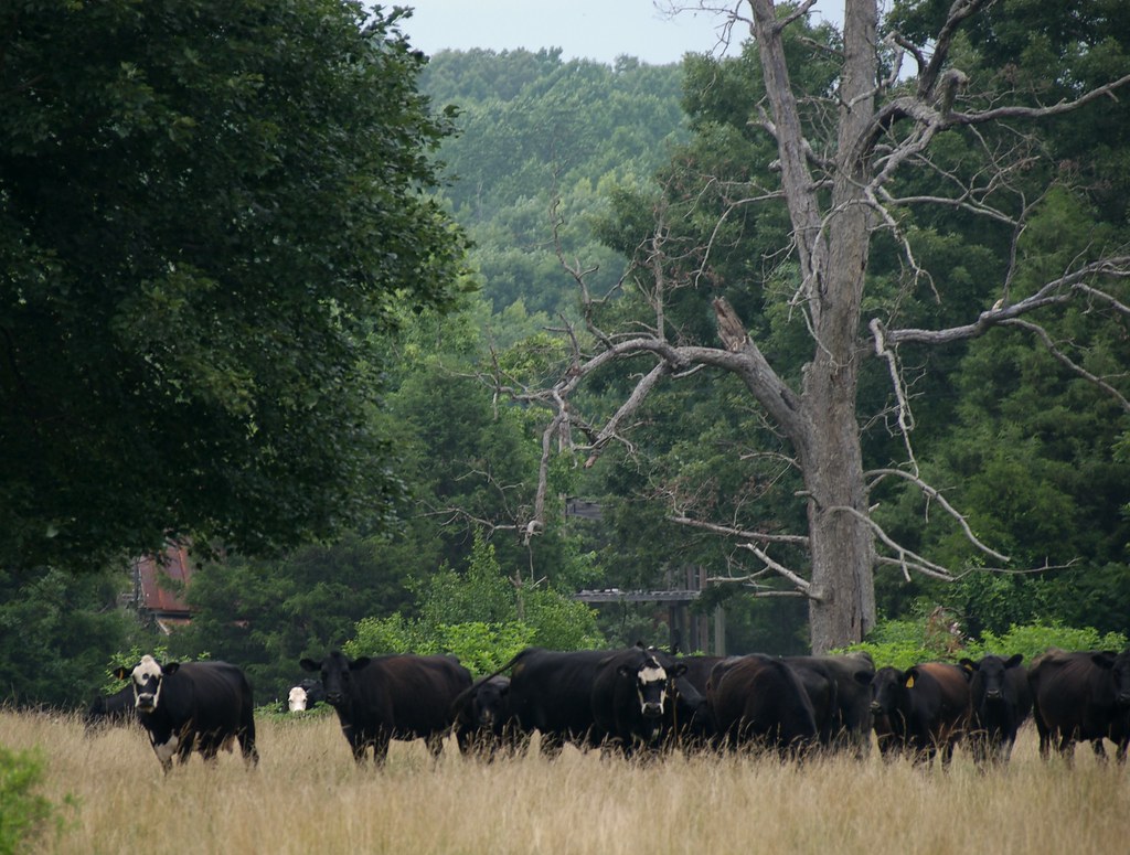
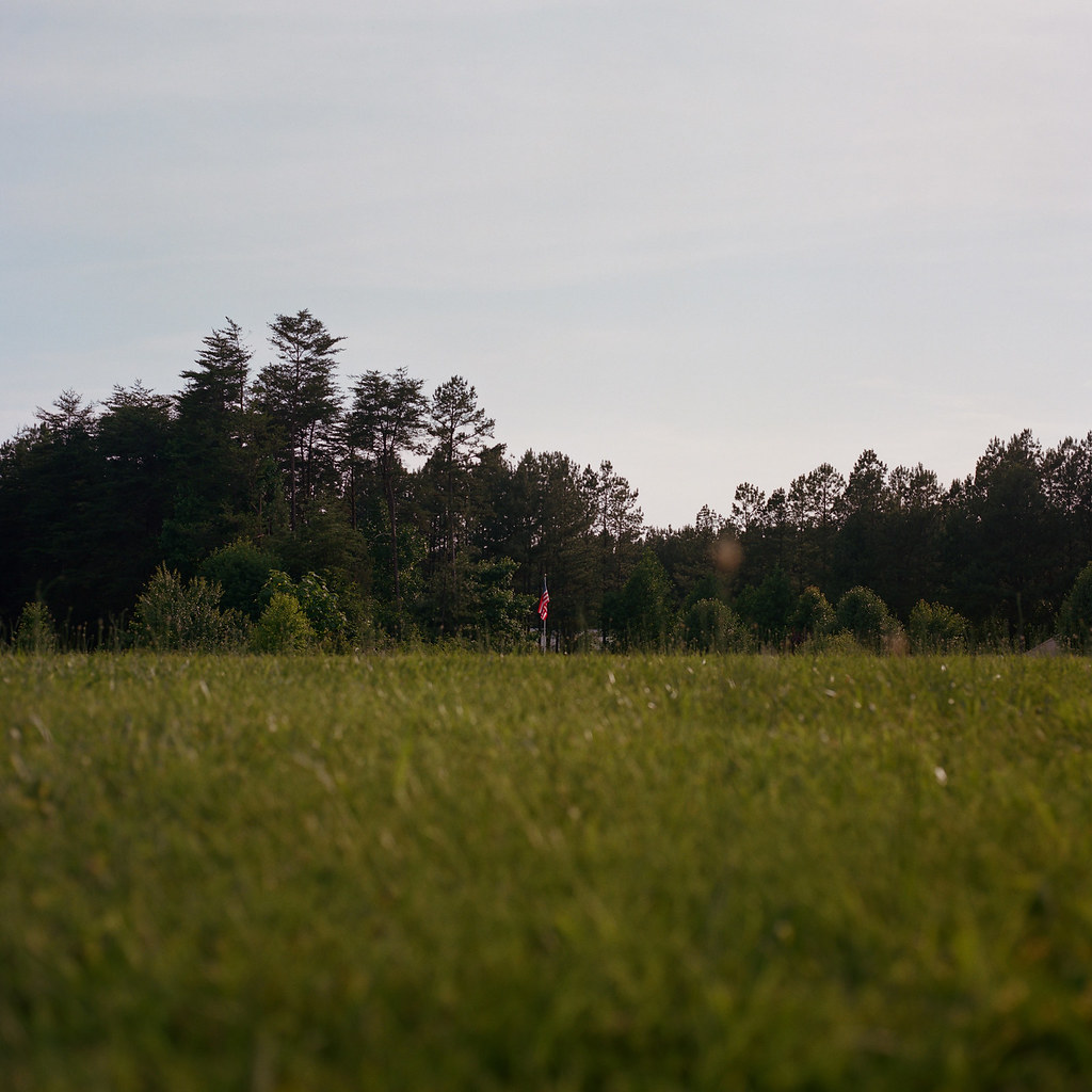
The Herd is Watching *You*
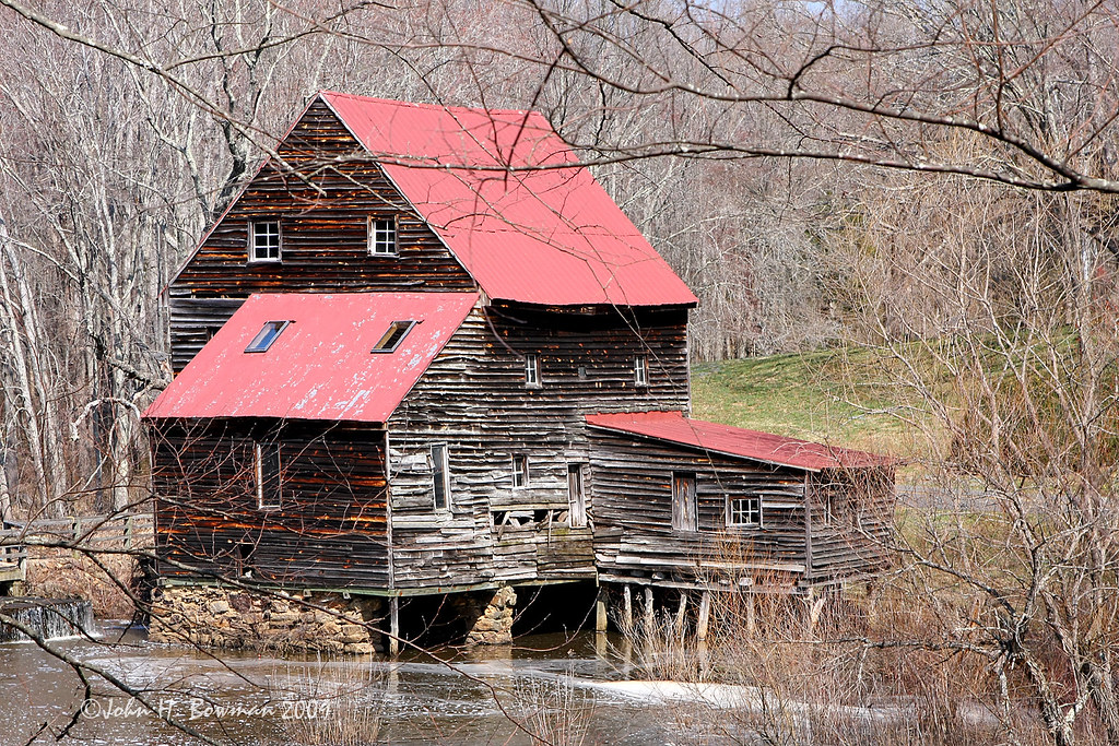
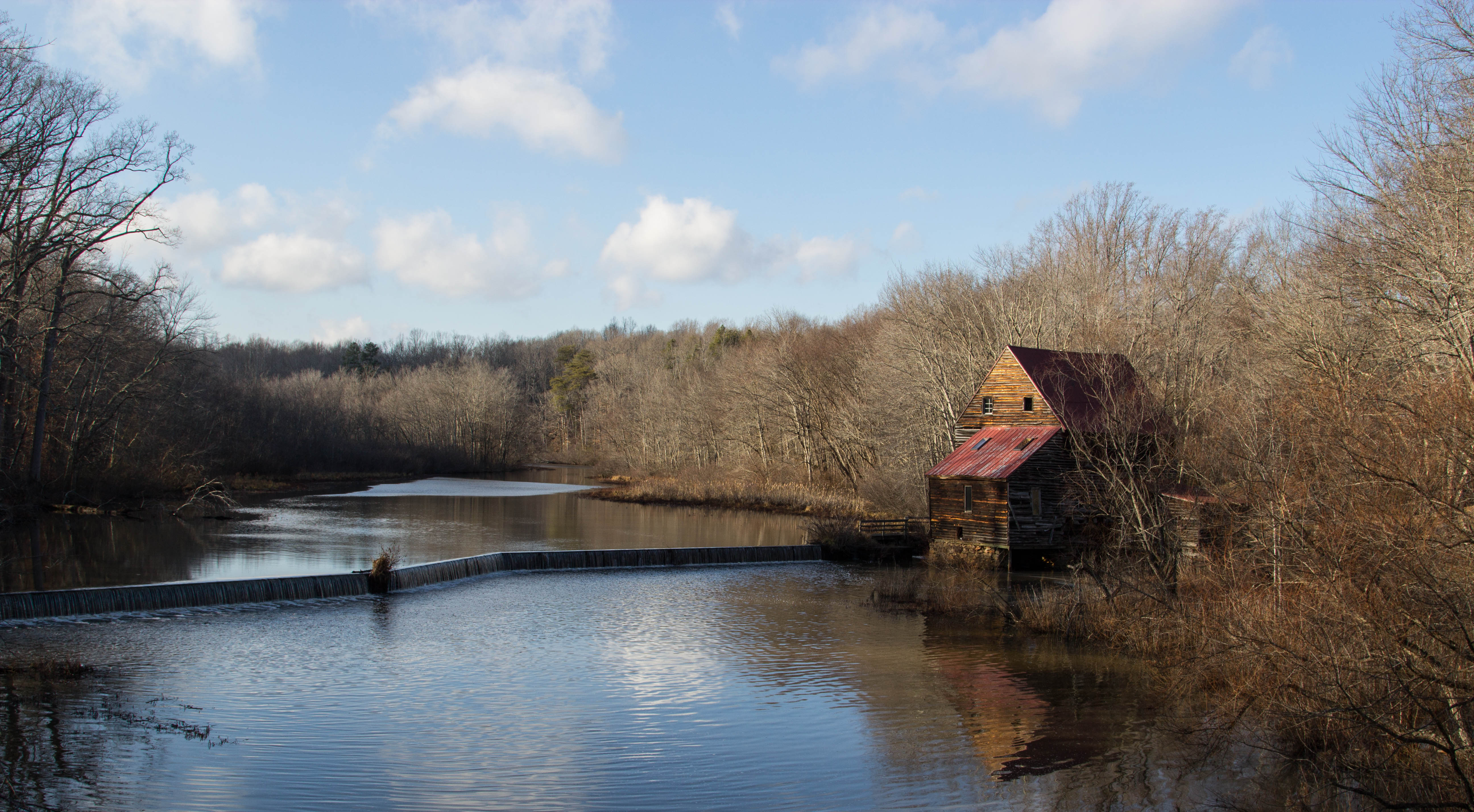
Woodson's Mill, river side
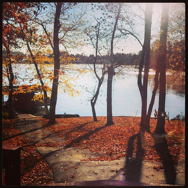
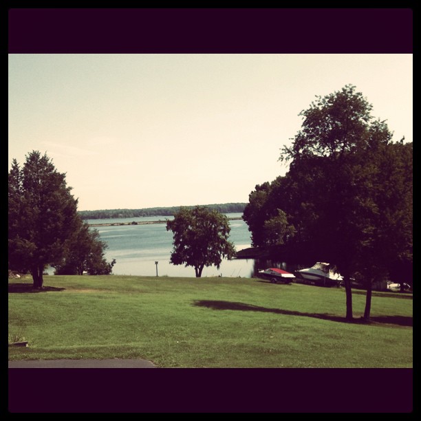
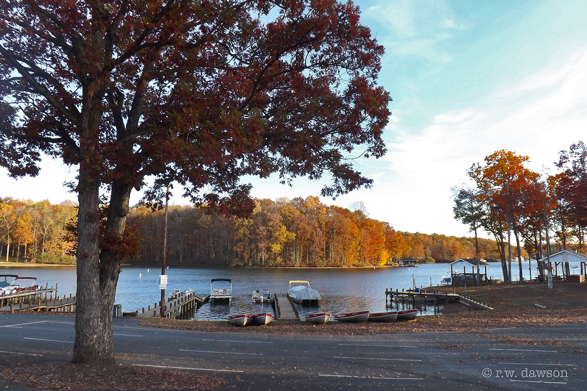
Morning view... not much wildlife around Lake Anna. Wonder if that's because of the nuclear reactors.
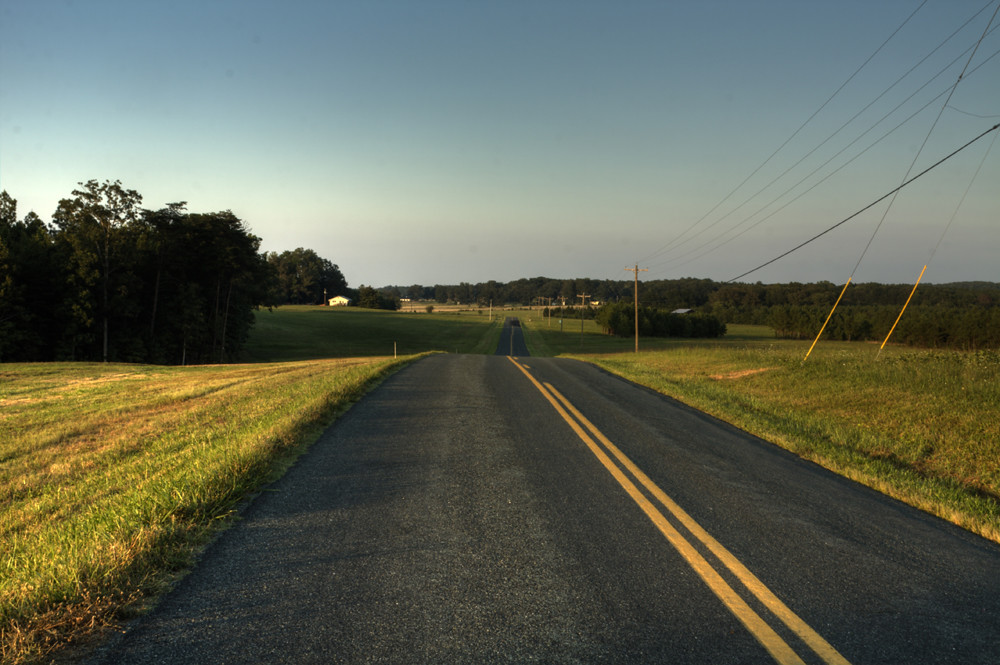
Road Trip (Northern Virginia)
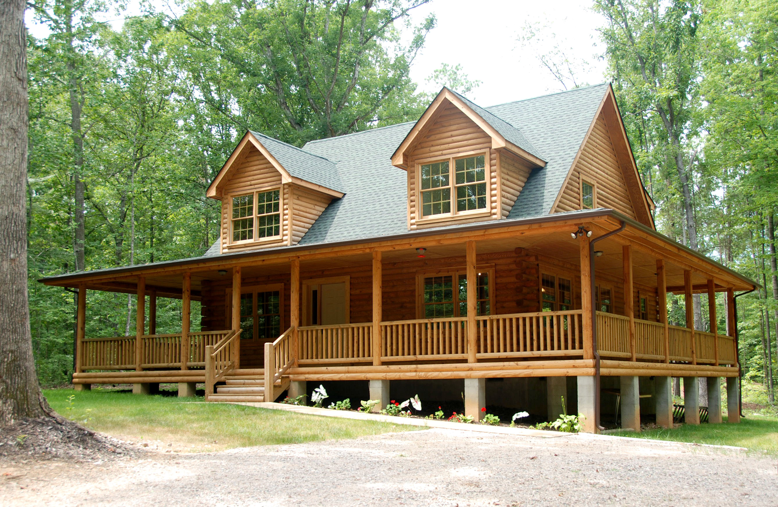
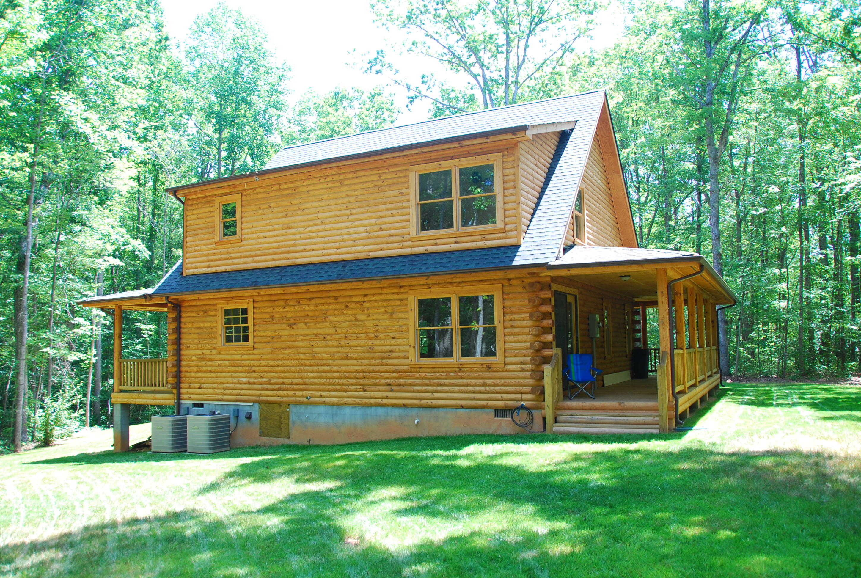
Lake Anna Log Home - Front View
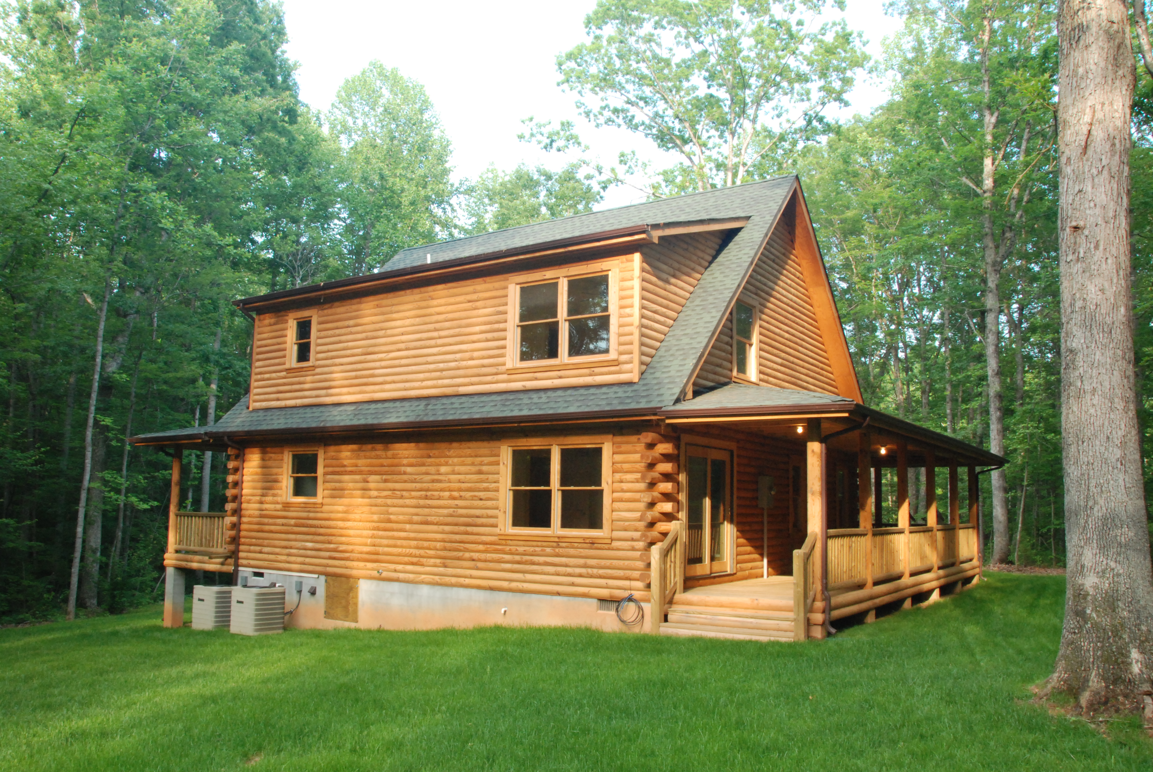
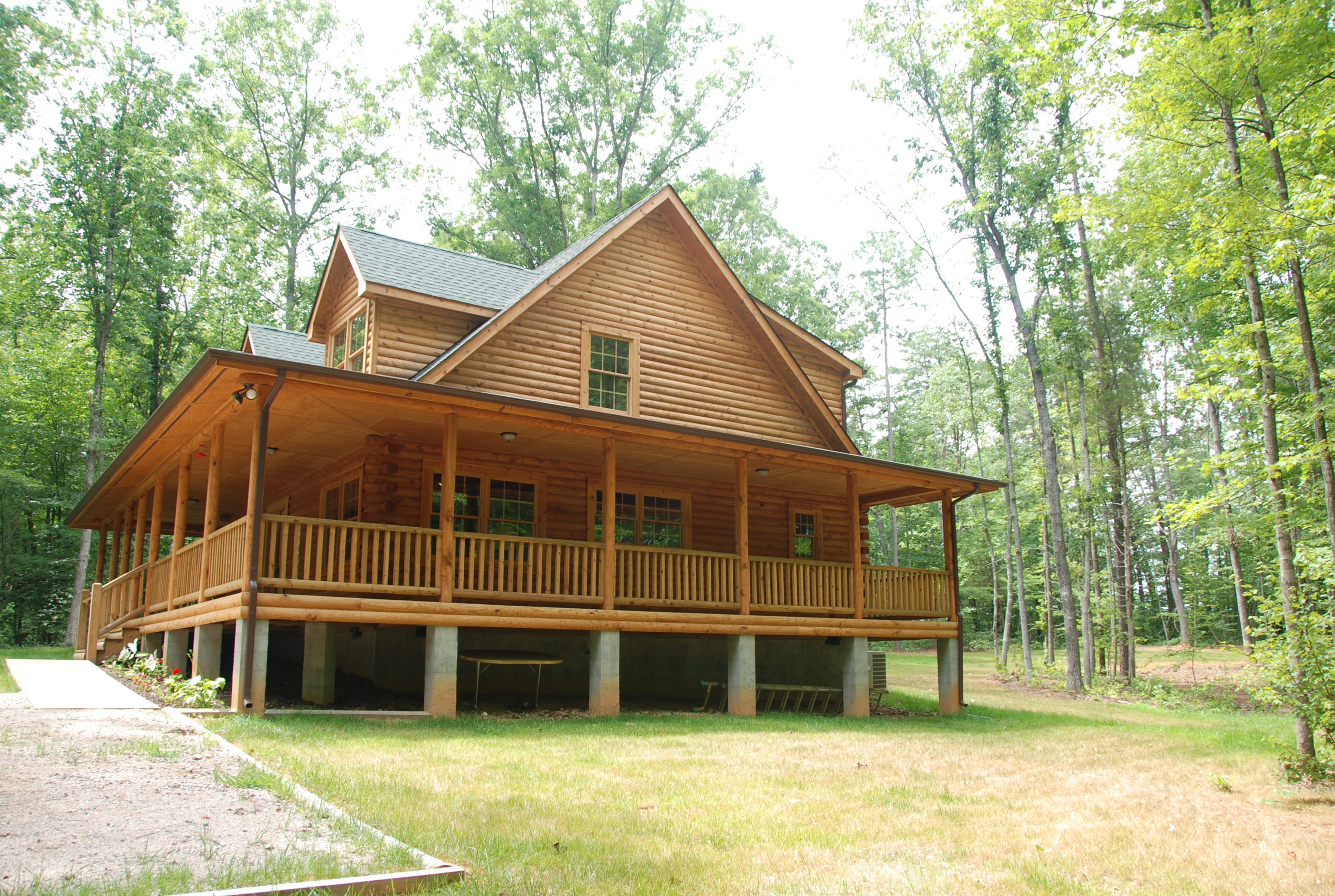
Log Home - Back View (afternoon light)
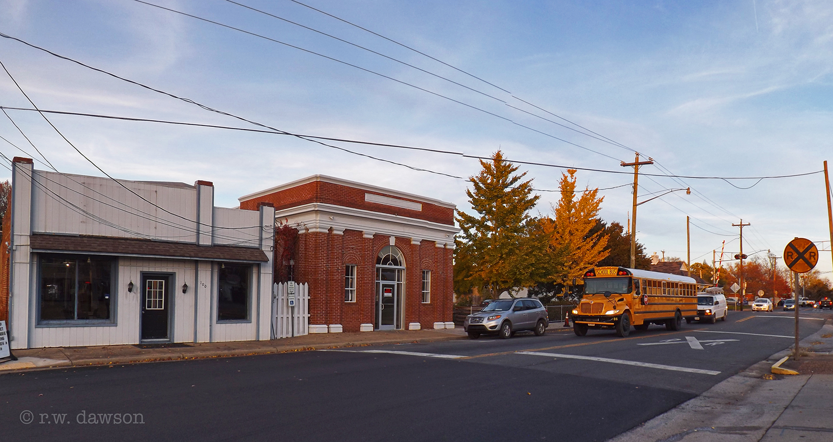
View of East 1st. Street
South East View
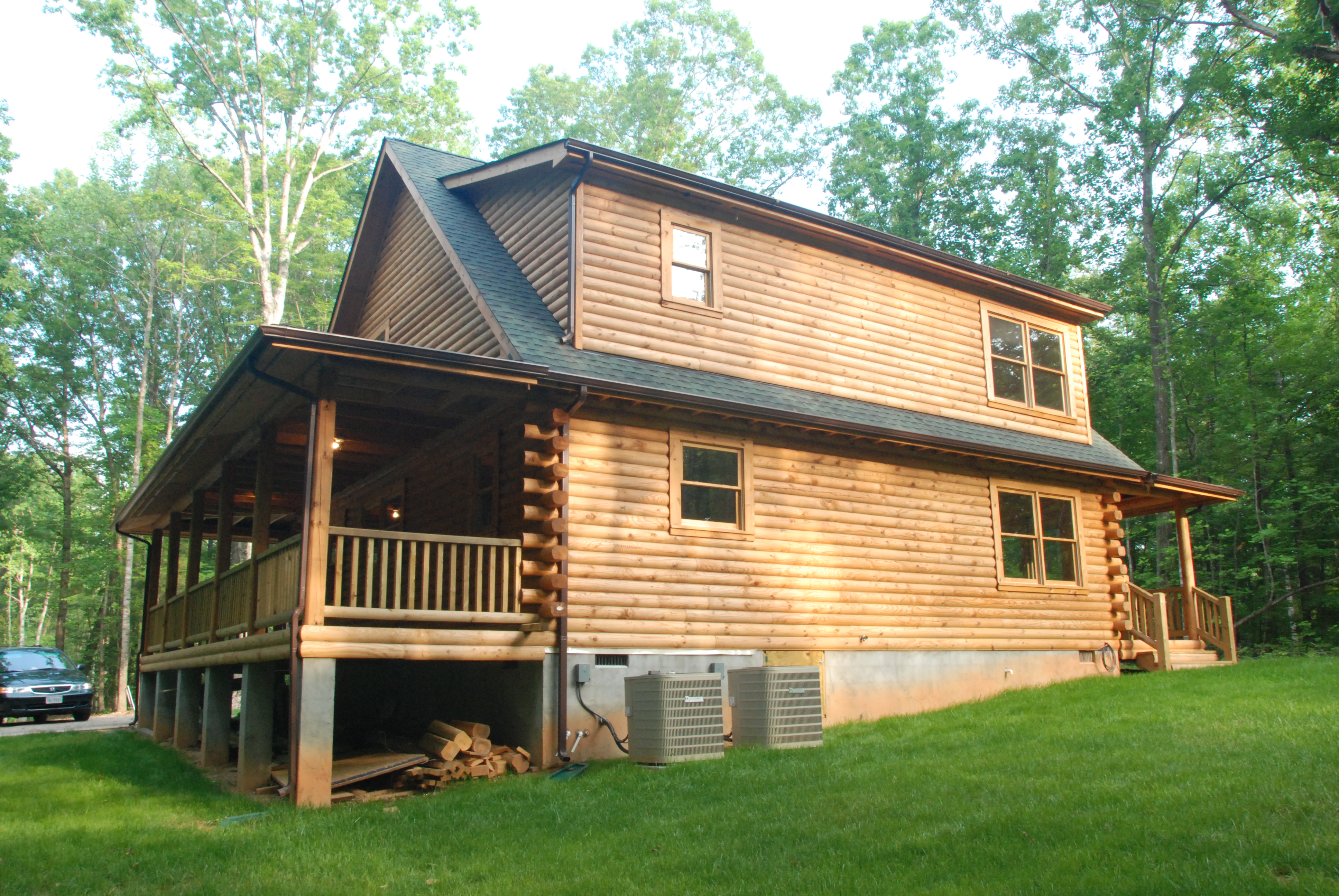
Log Home - Back View (morning light)
South West View
one view from my picnic blanket
That view. #epiclakebuild , #ilovethisview
Change is coming
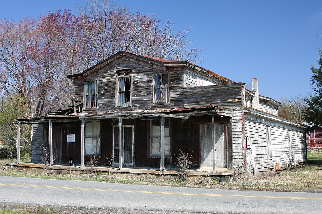
Downtown Beaverdam
I'm Already There
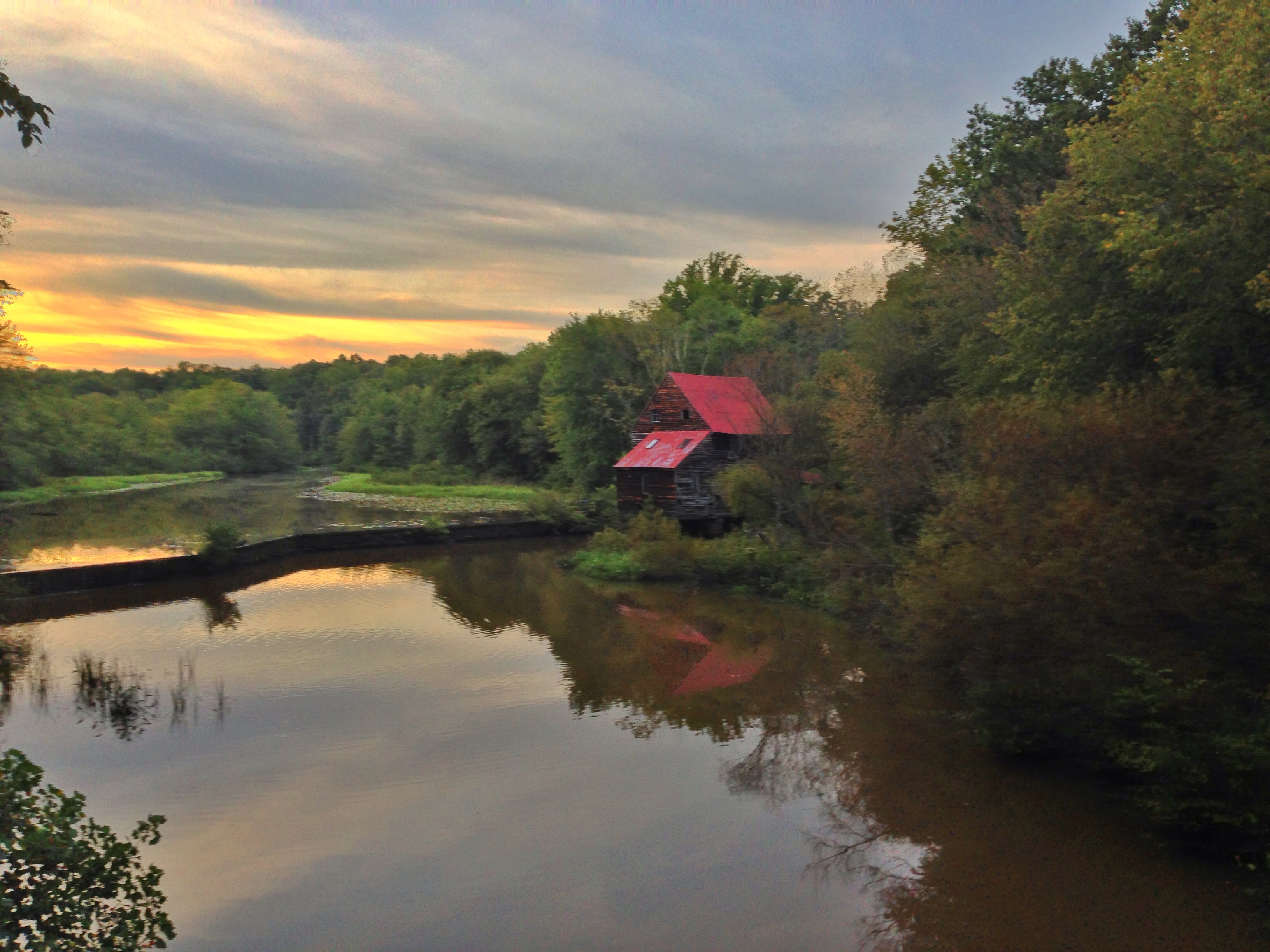
Woodson's Mill
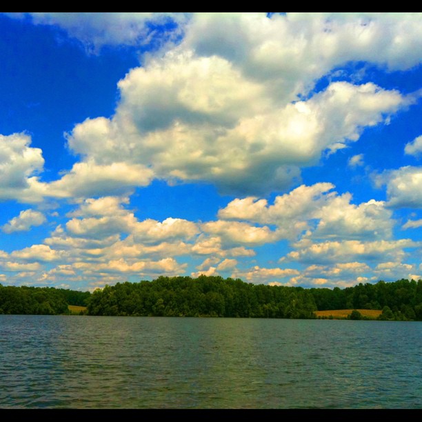
Clouds over Lake Anna #LakeAnna #HDR #nofilter
Lake Anna, Virginia
Woodson's Mill, Hanover Virginia
Over the river and through the woods
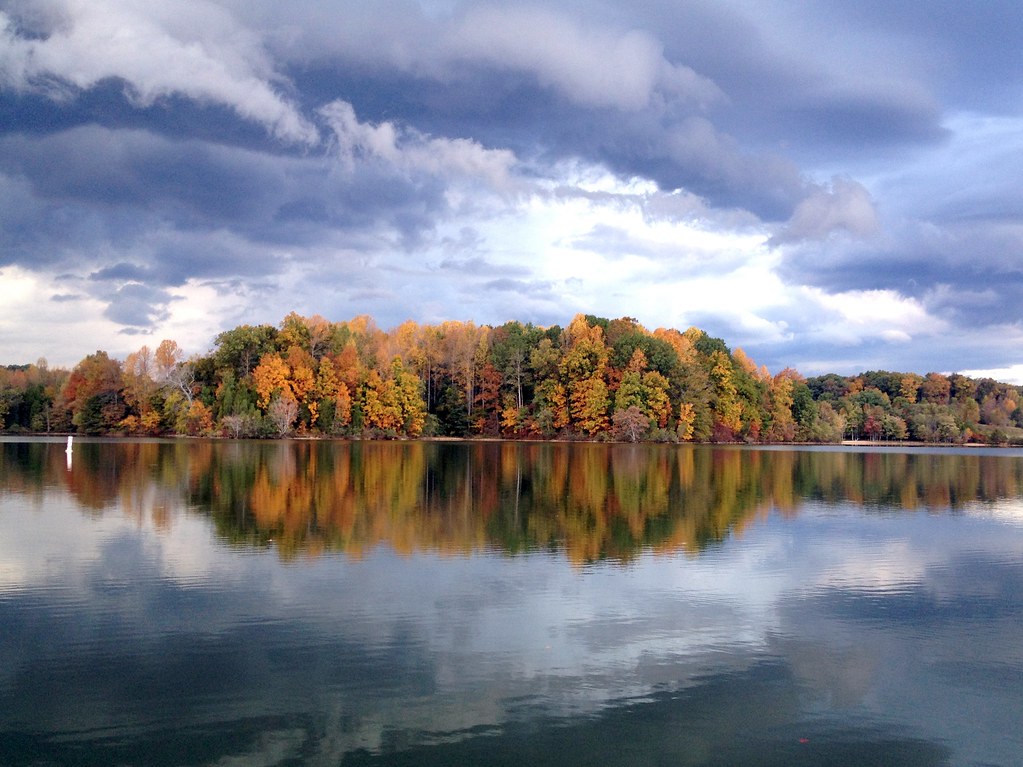
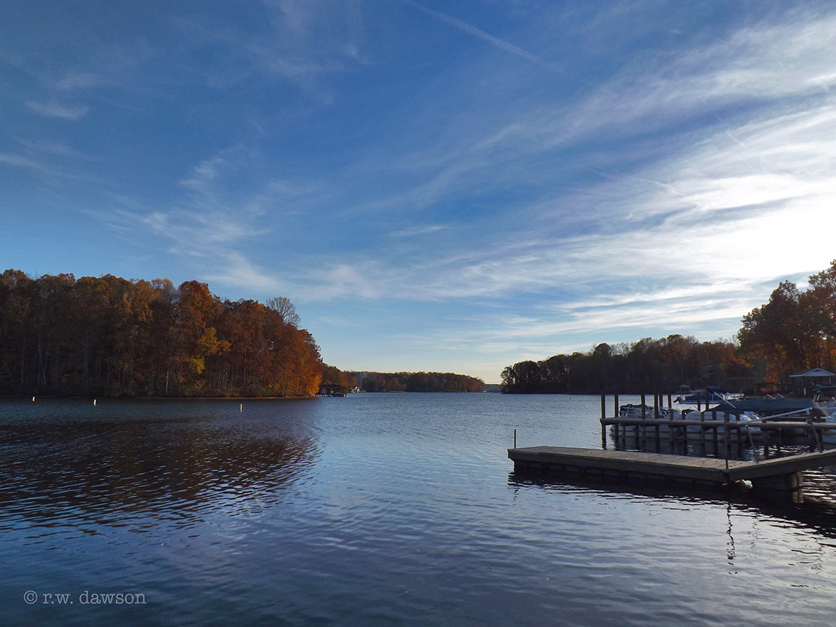
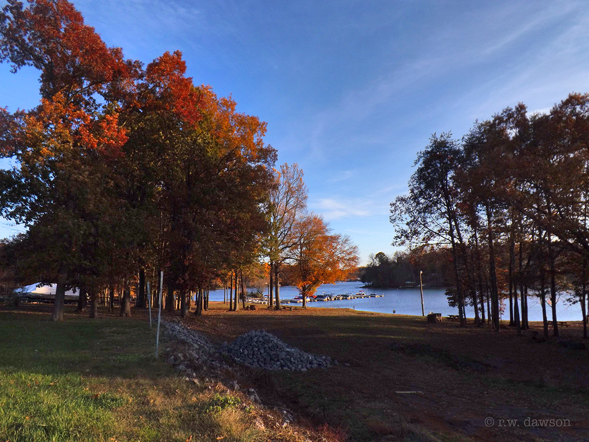
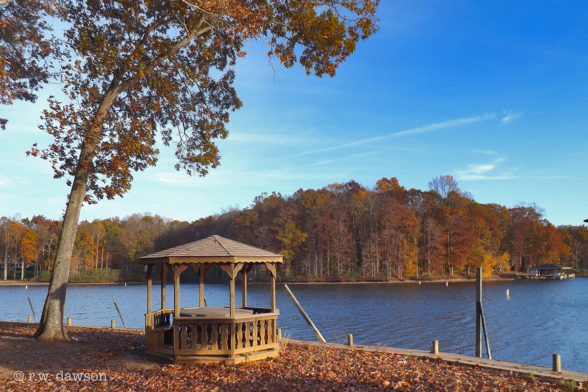
Lake Anna
Good morning world! Happy Birthday to me!
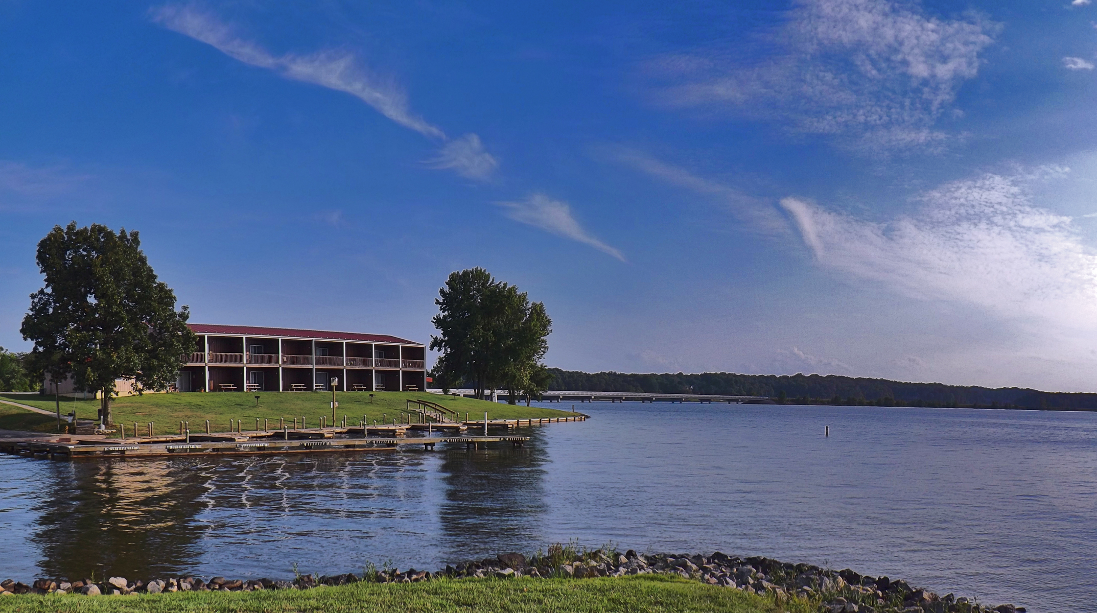
Sturgeon Creek Marina
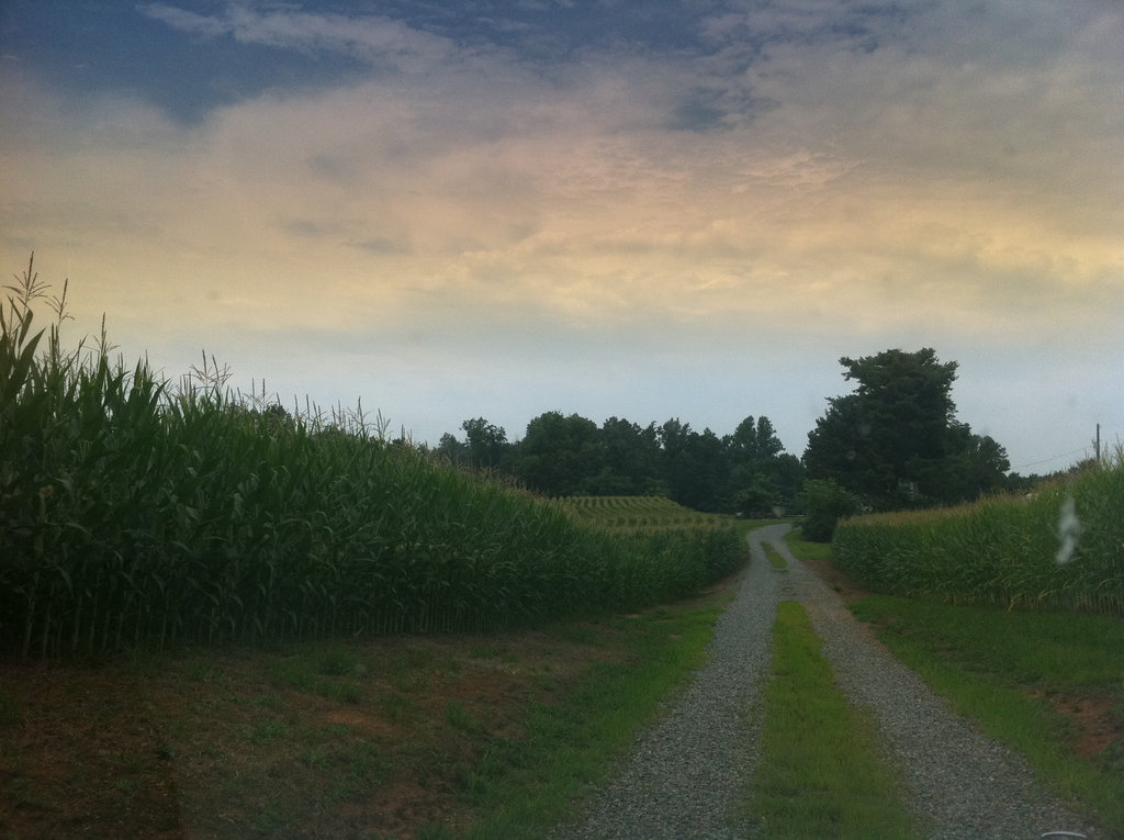
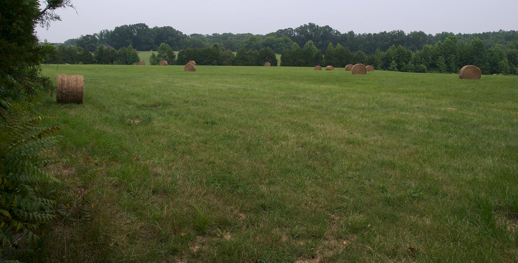
The corn is high at my mom's house.
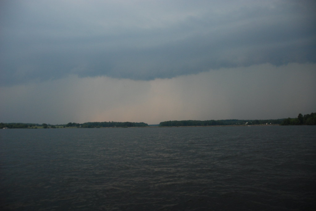
Storm a commin

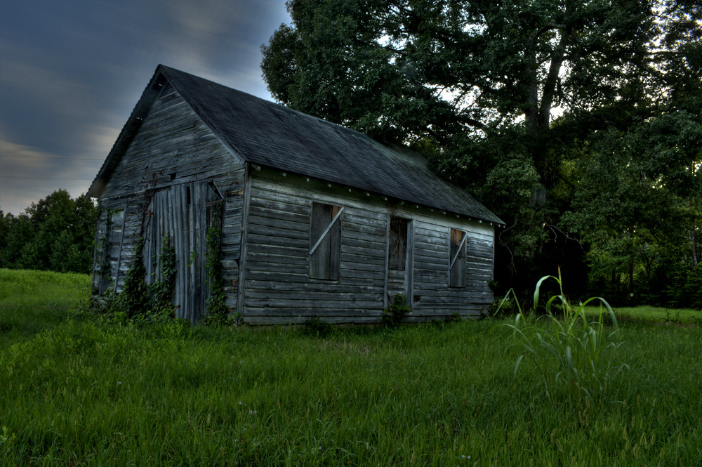
Little House on the Foothills
Sturgeon Creek Marina

Central Virginia Landscape
Sturgeon Creek Marina
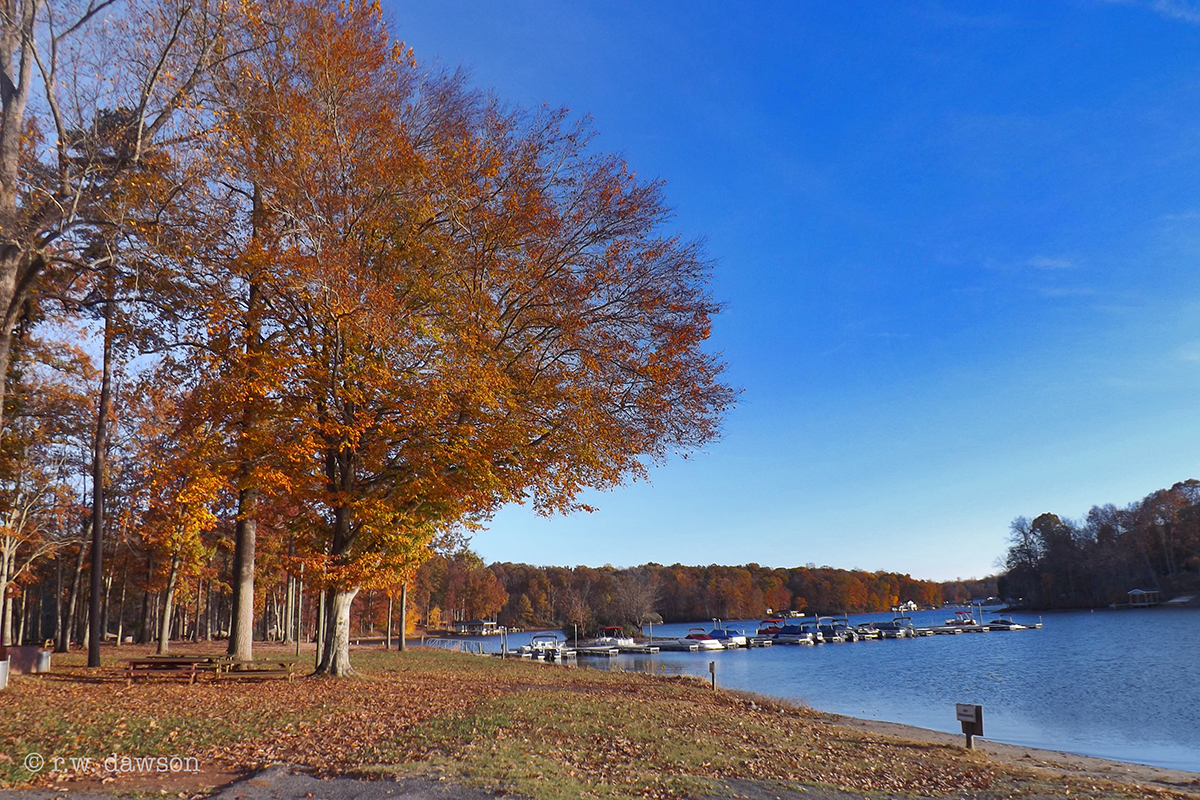
Sturgeon Creek Marina
.
Sturgeon Creek Marina

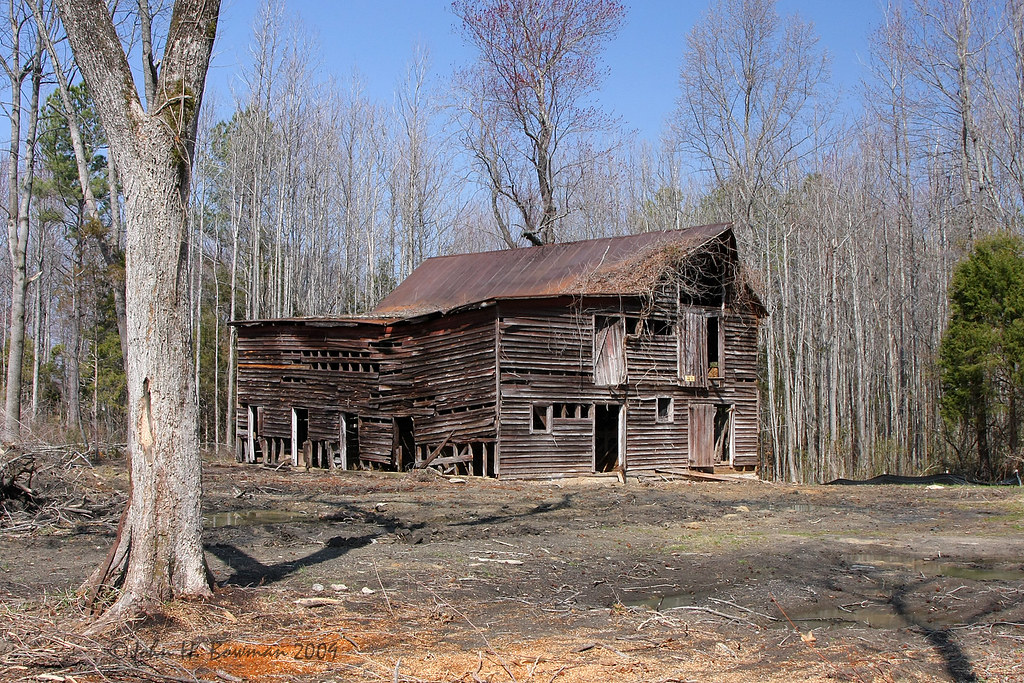
The Farm on Wallers Rd (042)
Road Trip (Northern Virginia)
The Farm on Wallers Rd (041)
Topographic Map of Buckner Rd, Bumpass, VA, USA
Find elevation by address:

Places near Buckner Rd, Bumpass, VA, USA:
Buckner Rd, Bumpass, VA, USA
Bumpass, VA, USA
Jackson
Bumpass
Bumpass Rd, Bumpass, VA, USA
Cuckoo
Paynes Mill Rd, Bumpass, VA, USA
Jefferson Hwy, Bumpass, VA, USA
1043 Copper Line Rd
Cuckoo
17324 Shiloh Church Rd
17404 Rocky Ford Rd
Blessed Lane
18477 Dixie Belle Ln
36 Factory Mill Rd, Bumpass, VA, USA
18621 Rolling Meadows Trail
South Anna
4675 E Grey Fox Rd
4675 E Gray Fox Cir
4625 Fox Chase Run
Recent Searches:
- Elevation of Shibuya Scramble Crossing, 21 Udagawacho, Shibuya City, Tokyo -, Japan
- Elevation of Jadagoniai, Kaunas District Municipality, Lithuania
- Elevation of Pagonija rock, Kranto 7-oji g. 8"N, Kaunas, Lithuania
- Elevation of Co Rd 87, Jamestown, CO, USA
- Elevation of Tenjo, Cundinamarca, Colombia
- Elevation of Côte-des-Neiges, Montreal, QC H4A 3J6, Canada
- Elevation of Bobcat Dr, Helena, MT, USA
- Elevation of Zu den Ihlowbergen, Althüttendorf, Germany
- Elevation of Badaber, Peshawar, Khyber Pakhtunkhwa, Pakistan
- Elevation of SE Heron Loop, Lincoln City, OR, USA