Elevation of Buck Mountain Road, Buck Mountain Rd, Troutdale, VA, USA
Location: United States > Virginia > Smyth County > Rye Valley > Sugar Grove >
Longitude: -81.311028
Latitude: 36.6679774
Elevation: 1004m / 3294feet
Barometric Pressure: 90KPa
Elevation Map:
Satellite Map:
Related Photos:

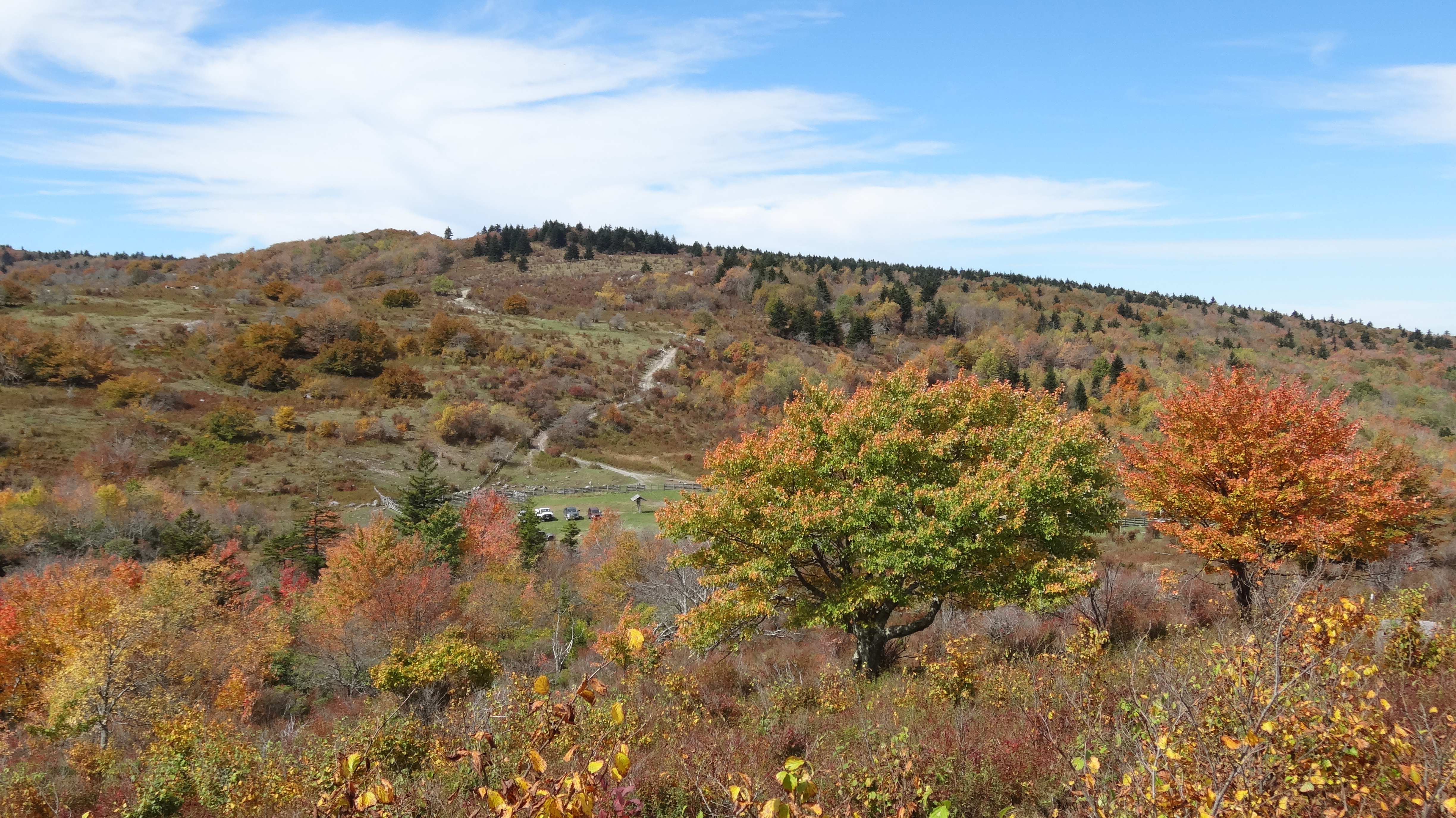
Morning Light

Hungry Bird

Signs of Fall - HFF

Forgotten House in the Hills

Old New River House

Virginia Hills

Foggy Mountain Morning

Buttercups along the Fence

Panoramic View from Comers Rock

View from Comers Rock

Comers Rock Overlook

View from The Scales

old Grayson county courthouse, Independence, VA

Running a new well to the cabins

View from W4V/WV-013 - Comers Rock

grayson-20071013 (53)

Mountain view from the meadow above our cabin

grayson-20071013 (52)

Mountain view just up the hill from our cabin

grayson-20071013 (51)

grayson-20071013 (07)

HFF! Fence from Old First Peak Trail

Fox Creek

The Scales, Appalachian NST, near Troutdale, VA4

South of The Scales, Appalachian NST, near Troutdale, VA18

The Scales, Appalachian NST, near Troutdale, VA

The Scales, Appalachian NST, near Troutdale, VA2

South of The Scales, Appalachian NST, near Troutdale, VA22

South of The Scales, Appalachian NST, near Troutdale, VA2

South of The Scales, Appalachian NST, near Troutdale, VA8

South of The Scales, Appalachian NST, near Troutdale, VA7

South of The Scales, Appalachian NST, near Troutdale, VA16

South of The Scales, Appalachian NST, near Troutdale, VA21

South of The Scales, Appalachian NST, near Troutdale, VA19
The Scales, Appalachian NST, near Troutdale, VA3

Grayson HIghlands State Park, VA

SWVA -- My Second Home
Topographic Map of Buck Mountain Road, Buck Mountain Rd, Troutdale, VA, USA
Find elevation by address:

Places near Buck Mountain Road, Buck Mountain Rd, Troutdale, VA, USA:
Buck Mountain Road
Buck Mountain Road
386 Buck Mountain Rd
421 Buck Mountain Rd
2285 Buck Mountain Rd
2258 Buck Mountain Rd
14339 Comers Rock Rd
Unnamed Road
6570 Flat Ridge Rd
6485 Old Bridle Creek Dr
Grubbs Chapel Lane
Grubbs Chapel Lane
Grubbs Chapel Lane
123 State Rte 680
123 State Rte 680
123 State Rte 680
Middle Fox Creek
12344 Comers Rock Rd
300 Kritter Crossing Ln
3206 Fox Creek Rd
Recent Searches:
- Elevation of Lampiasi St, Sarasota, FL, USA
- Elevation of Elwyn Dr, Roanoke Rapids, NC, USA
- Elevation of Congressional Dr, Stevensville, MD, USA
- Elevation of Bellview Rd, McLean, VA, USA
- Elevation of Stage Island Rd, Chatham, MA, USA
- Elevation of Shibuya Scramble Crossing, 21 Udagawacho, Shibuya City, Tokyo -, Japan
- Elevation of Jadagoniai, Kaunas District Municipality, Lithuania
- Elevation of Pagonija rock, Kranto 7-oji g. 8"N, Kaunas, Lithuania
- Elevation of Co Rd 87, Jamestown, CO, USA
- Elevation of Tenjo, Cundinamarca, Colombia