Elevation of Bryce-Eden Rd, Pima, AZ, USA
Location: United States > Arizona > Graham County > Pima >
Longitude: -109.89388
Latitude: 32.9618208
Elevation: 841m / 2759feet
Barometric Pressure: 92KPa
Elevation Map:
Satellite Map:
Related Photos:

Road To Eden
Pima cotton
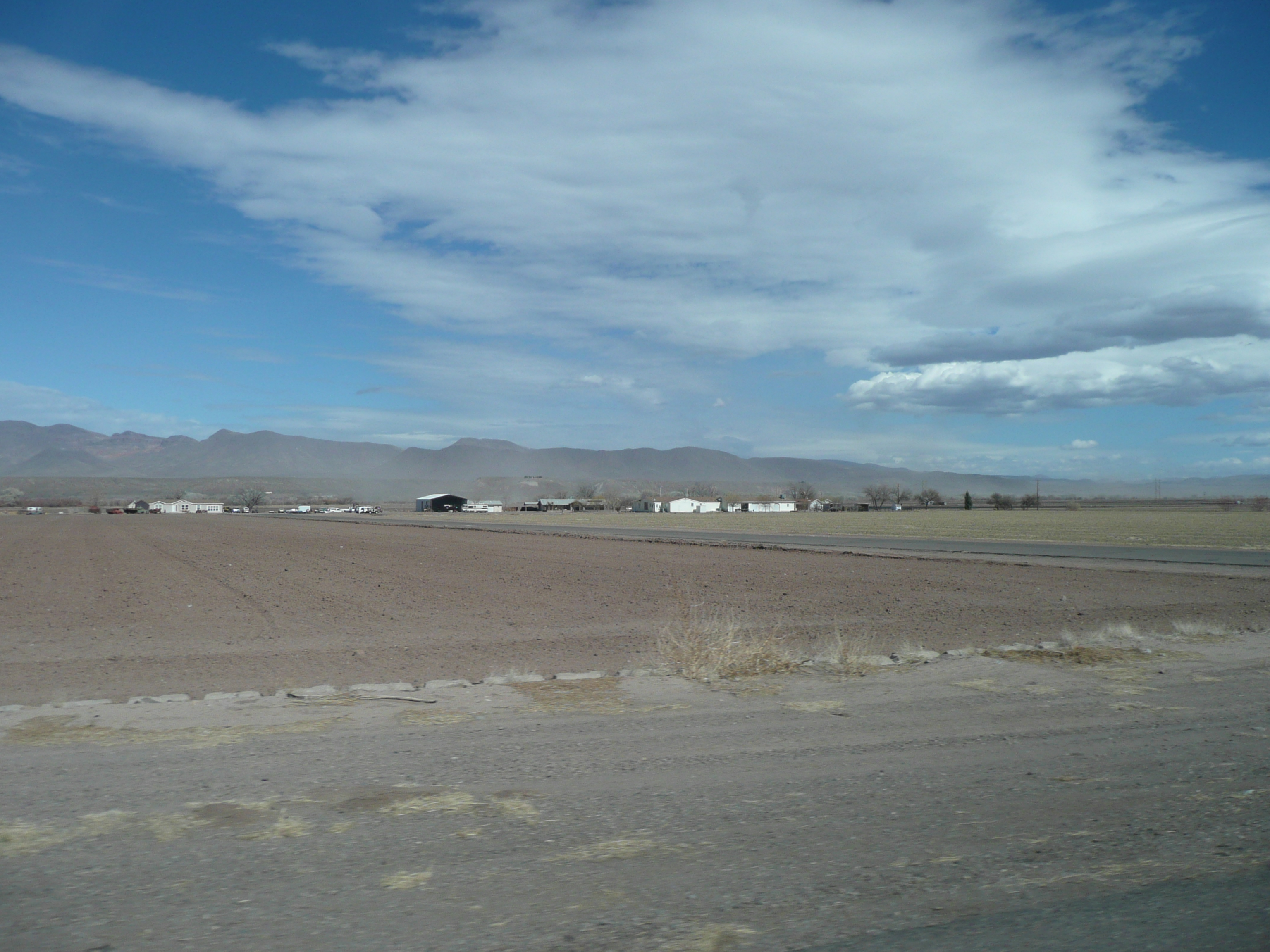
Red Knolls
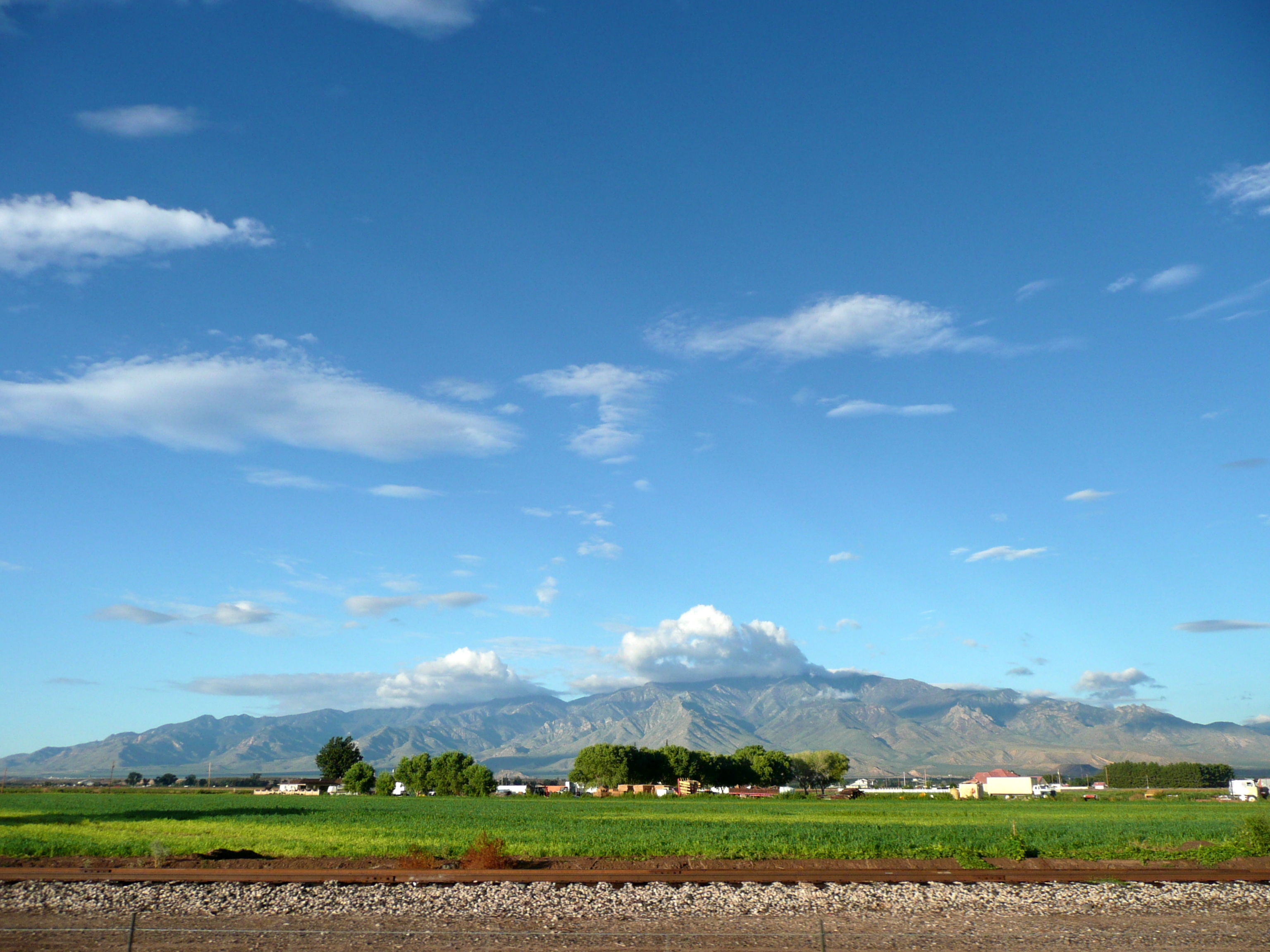
Safford Grids and Mount Graham

Agricultural grid
Safford Grids and Bryce Mountain

where is my tractor?
Mt. Graham

Gila River
Safford, AZ
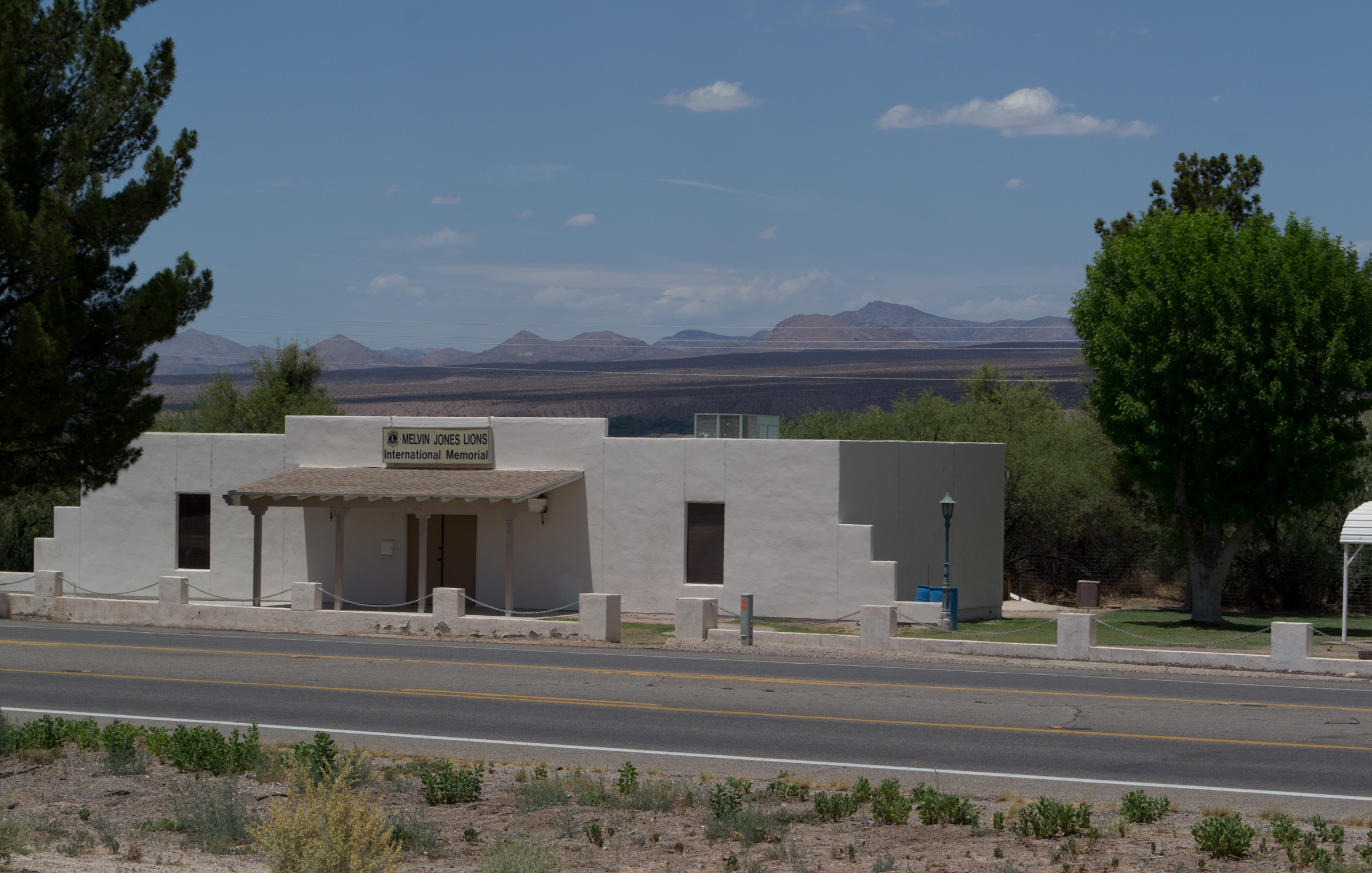
Ft Thomas, AZ Lions Club memorial (1978)
Topographic Map of Bryce-Eden Rd, Pima, AZ, USA
Find elevation by address:

Places near Bryce-Eden Rd, Pima, AZ, USA:
Eden
7920 Bryce-eden Rd
7920 Eden Springs Rd
US-70, Pima, AZ, USA
Coons Ln, Pima, AZ, USA
US-70, Fort Thomas, AZ, USA
Bryce
Pima
Fort Thomas
16474 Barteau Ln
10806 Cottonwood Wash Rd
10729 Cottonwood Wash Rd
10729 Cottonwood Wash Rd
Watson Ln, Safford, AZ, USA
7867 W Grandmas Dr
353 Cluff Ranch Rd
Gila Valley Arizona Temple
2247 Streaks Canyon Rd
Thatcher
Graham County
Recent Searches:
- Elevation of 6 Rue Jules Ferry, Beausoleil, France
- Elevation of Sattva Horizon, 4JC6+G9P, Vinayak Nagar, Kattigenahalli, Bengaluru, Karnataka, India
- Elevation of Great Brook Sports, Gold Star Hwy, Groton, CT, USA
- Elevation of 10 Mountain Laurels Dr, Nashua, NH, USA
- Elevation of 16 Gilboa Ln, Nashua, NH, USA
- Elevation of Laurel Rd, Townsend, TN, USA
- Elevation of 3 Nestling Wood Dr, Long Valley, NJ, USA
- Elevation of Ilungu, Tanzania
- Elevation of Yellow Springs Road, Yellow Springs Rd, Chester Springs, PA, USA
- Elevation of Rēzekne Municipality, Latvia