Elevation of Bryce, AZ, USA
Location: United States > Arizona > Graham County > Pima >
Longitude: -109.82930
Latitude: 32.929417
Elevation: 860m / 2822feet
Barometric Pressure: 91KPa
Elevation Map:
Satellite Map:
Related Photos:

Road To Eden
View from a Safford Dumpster

Guitar Playing
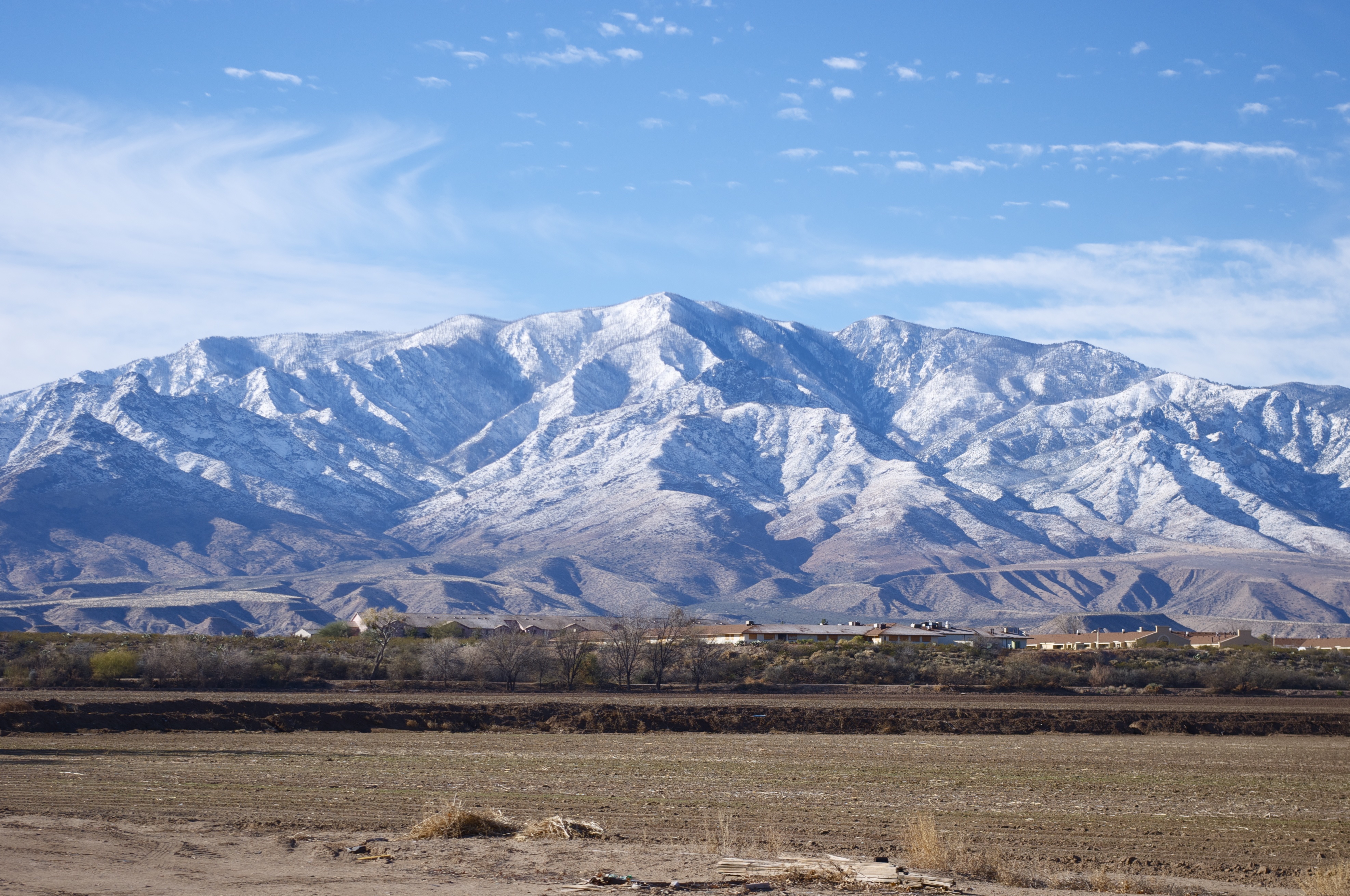
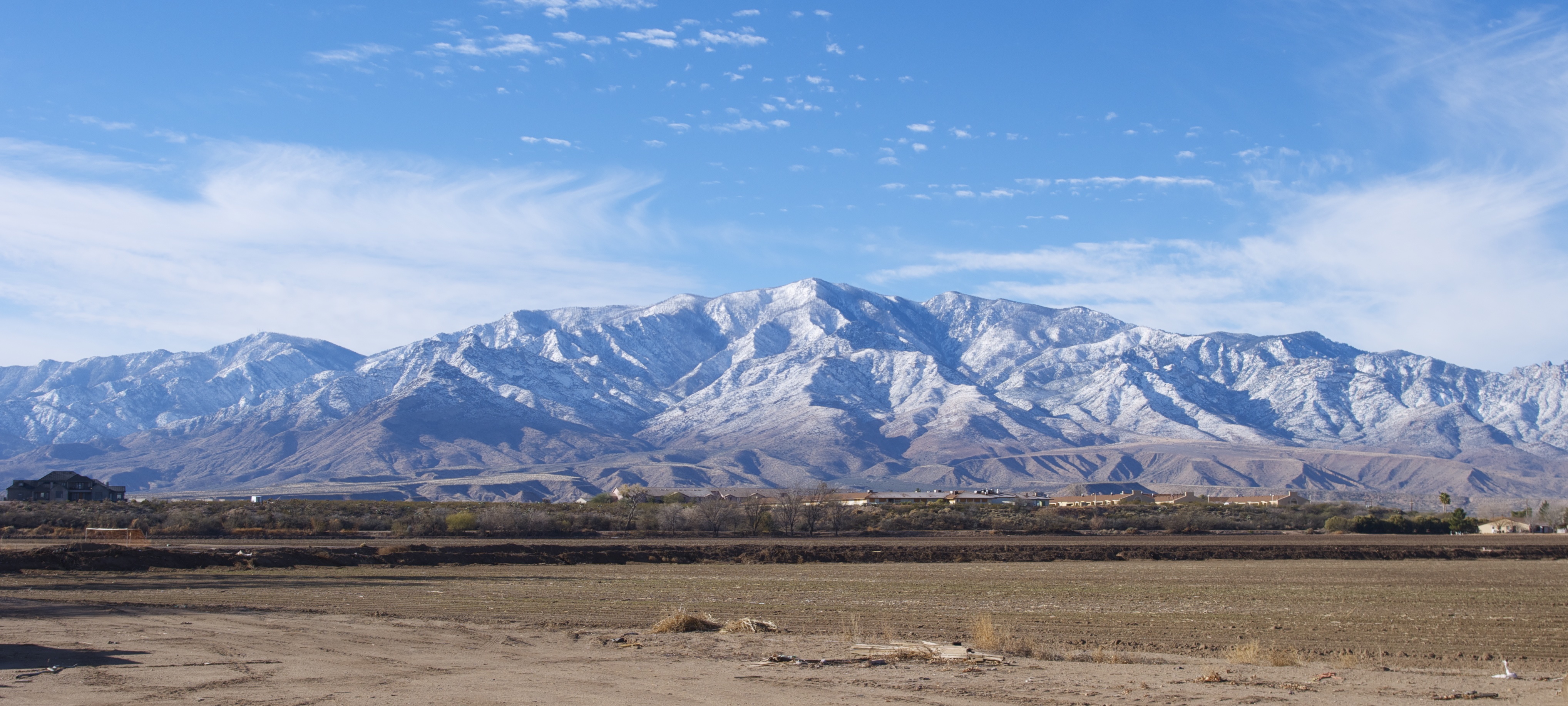
Mt. Graham Winter - Panorama
The Globe Local
Pima cotton

Thunderhead over Mount Graham
Safford Grids and Bryce Mountain

Agricultural grid
IMAG1241~2
A look into the #GilaValley. #Safford #Arizona #AZ #southwest #USA #desert #valley #mountains #landscape #scenery #nature #outwest #sky #clouds #mountain #hot #summer
Mt. Graham

where is my tractor?
Mt. Graham

Mt Graham

Gila River
Mt. Graham

Phaon Crescent (Phyciodes phaon)
Topographic Map of Bryce, AZ, USA
Find elevation by address:

Places near Bryce, AZ, USA:
Coons Ln, Pima, AZ, USA
Pima
Watson Ln, Safford, AZ, USA
7920 Eden Springs Rd
Bryce-Eden Rd, Pima, AZ, USA
Eden
7920 Bryce-eden Rd
Gila Valley Arizona Temple
US-70, Pima, AZ, USA
7867 W Grandmas Dr
353 Cluff Ranch Rd
10729 Cottonwood Wash Rd
10729 Cottonwood Wash Rd
10806 Cottonwood Wash Rd
Thatcher
248 N Stadium Ave
2247 Streaks Canyon Rd
Freeport Mcmoran Road
US-70, Fort Thomas, AZ, USA
1214 Us-70
Recent Searches:
- Elevation of Unnamed Road, Respublika Severnaya Osetiya — Alaniya, Russia
- Elevation of Verkhny Fiagdon, North Ossetia–Alania Republic, Russia
- Elevation of F. Viola Hiway, San Rafael, Bulacan, Philippines
- Elevation of Herbage Dr, Gulfport, MS, USA
- Elevation of Lilac Cir, Haldimand, ON N3W 2G9, Canada
- Elevation of Harrod Branch Road, Harrod Branch Rd, Kentucky, USA
- Elevation of Wyndham Grand Barbados Sam Lords Castle All Inclusive Resort, End of Belair Road, Long Bay, Bridgetown Barbados
- Elevation of Iga Trl, Maggie Valley, NC, USA
- Elevation of N Co Rd 31D, Loveland, CO, USA
- Elevation of Lindever Ln, Palmetto, FL, USA