Elevation map of Brunei
Longitude: 114.727668
Latitude: 4.535277
Elevation: 58m / 190feet
Barometric Pressure: 101KPa
Elevation Map:
Satellite Map:
Related Photos:
The View

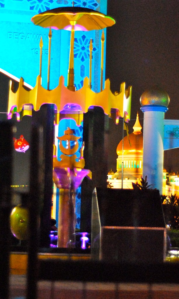
Tasek Merimbun Heritage Park.Brunei.

Fadzil Haji Dollah
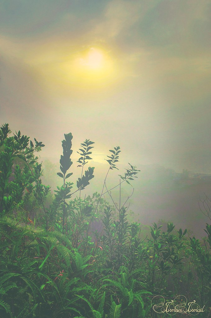
1st January 2015 sunrise outing with #bruneilandscapiers airbiscuit Amri HMS Azrol Azmi The Photographist Yuddin HB

Gee teng wah
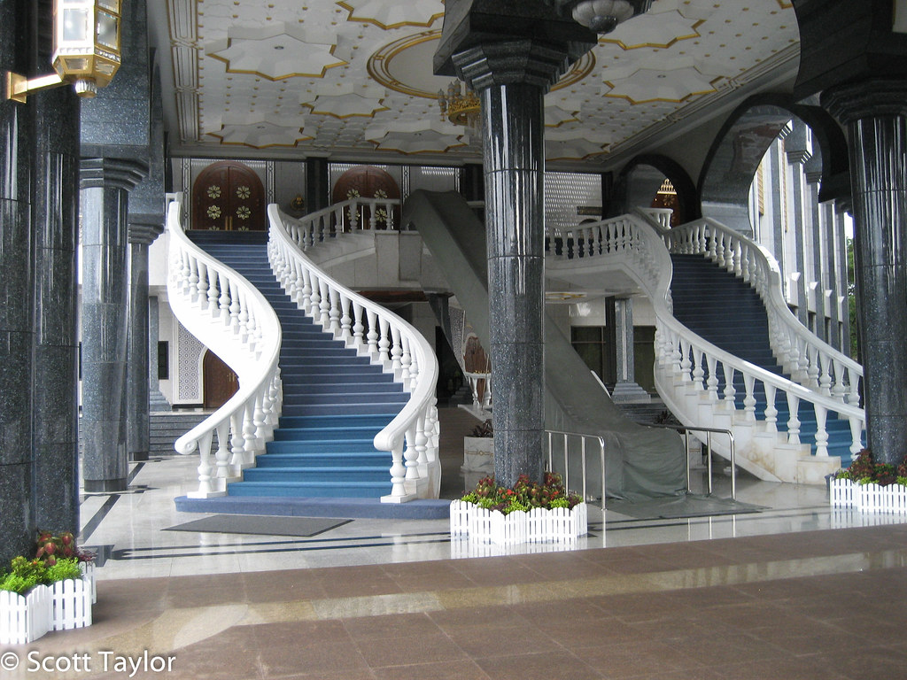
Brunei Palace
Topographic Map of Brunei
Find elevation by address:

Places in Brunei:
Brunei-muara District
Temburong District
Kuala Belait
Seria
Bukit Sawat
Kampong Keriam
Panaga
Kampung Penapar
Sungai Tujoh
Tutong District
Places near Brunei:
Bukit Sawat
Tutong District
Kampung Penapar
Pekan Tutong
Tutong
Kampong Keriam
Kampong Kupang
Penanjong
Jalan Ikas Bandung
Jalan Ikas Bandung
Sungai Kebun
Sengkurong
Selayun
Bangar
Mukim Gadong B
Seria
Unnamed Road
Kampong Kiarong
Kampong Ayer
Unnamed Road
Recent Searches:
- Elevation of Congressional Dr, Stevensville, MD, USA
- Elevation of Bellview Rd, McLean, VA, USA
- Elevation of Stage Island Rd, Chatham, MA, USA
- Elevation of Shibuya Scramble Crossing, 21 Udagawacho, Shibuya City, Tokyo -, Japan
- Elevation of Jadagoniai, Kaunas District Municipality, Lithuania
- Elevation of Pagonija rock, Kranto 7-oji g. 8"N, Kaunas, Lithuania
- Elevation of Co Rd 87, Jamestown, CO, USA
- Elevation of Tenjo, Cundinamarca, Colombia
- Elevation of Côte-des-Neiges, Montreal, QC H4A 3J6, Canada
- Elevation of Bobcat Dr, Helena, MT, USA