Elevation of Sungai Tujoh, Brunei
Location: Brunei >
Longitude: 114.166907
Latitude: 4.5861022
Elevation: 7m / 23feet
Barometric Pressure: 101KPa
Elevation Map:
Satellite Map:
Related Photos:
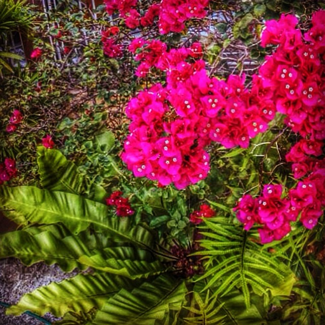
Bougainvillea bloom... ☺️with a little bit of green... A better & relaxing view at home ...sort of my own version of "back-from-work" therepy

Serene #KB residential/industrial view atop #VPlaza . Pretty pretty right? #panaromic #night #city #light #brunei
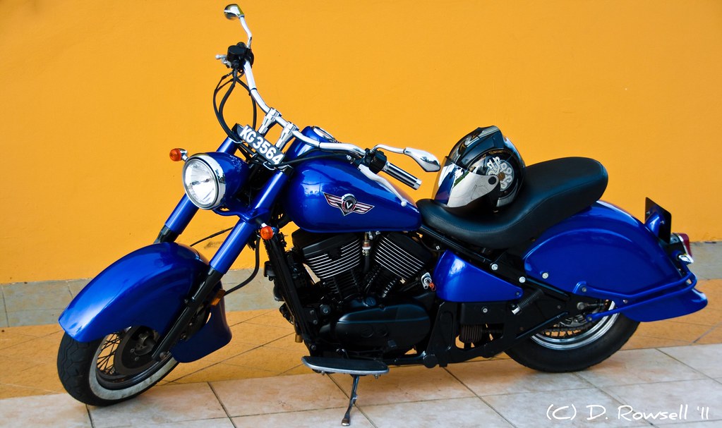
Vulcan Classic
Neils Island

Same pic but to the left side of #kb town #panaromic #night #city #brunei
Sunset from 9 floors up in KB

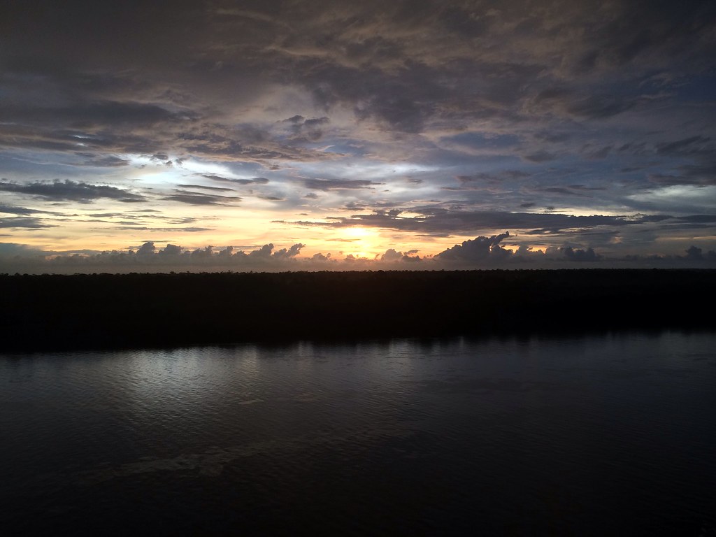
Early Morning Sunrise @ Brunei

Sunset over Masjid Kampong Pandan in Kuala Belait, Brunei, Borneo

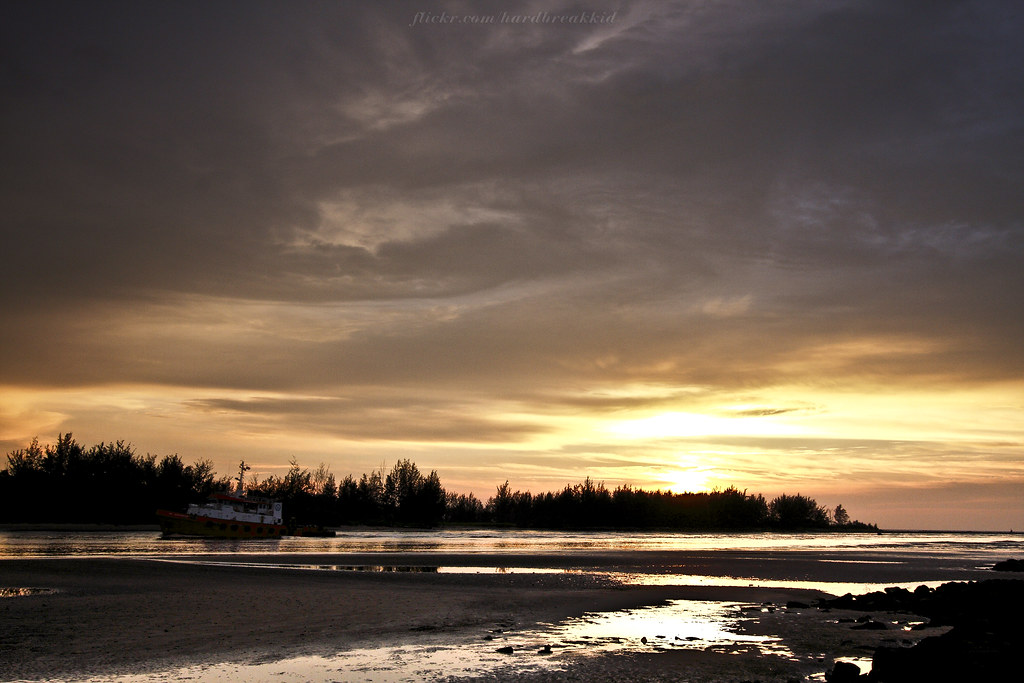
Sungai Teraban Sunset

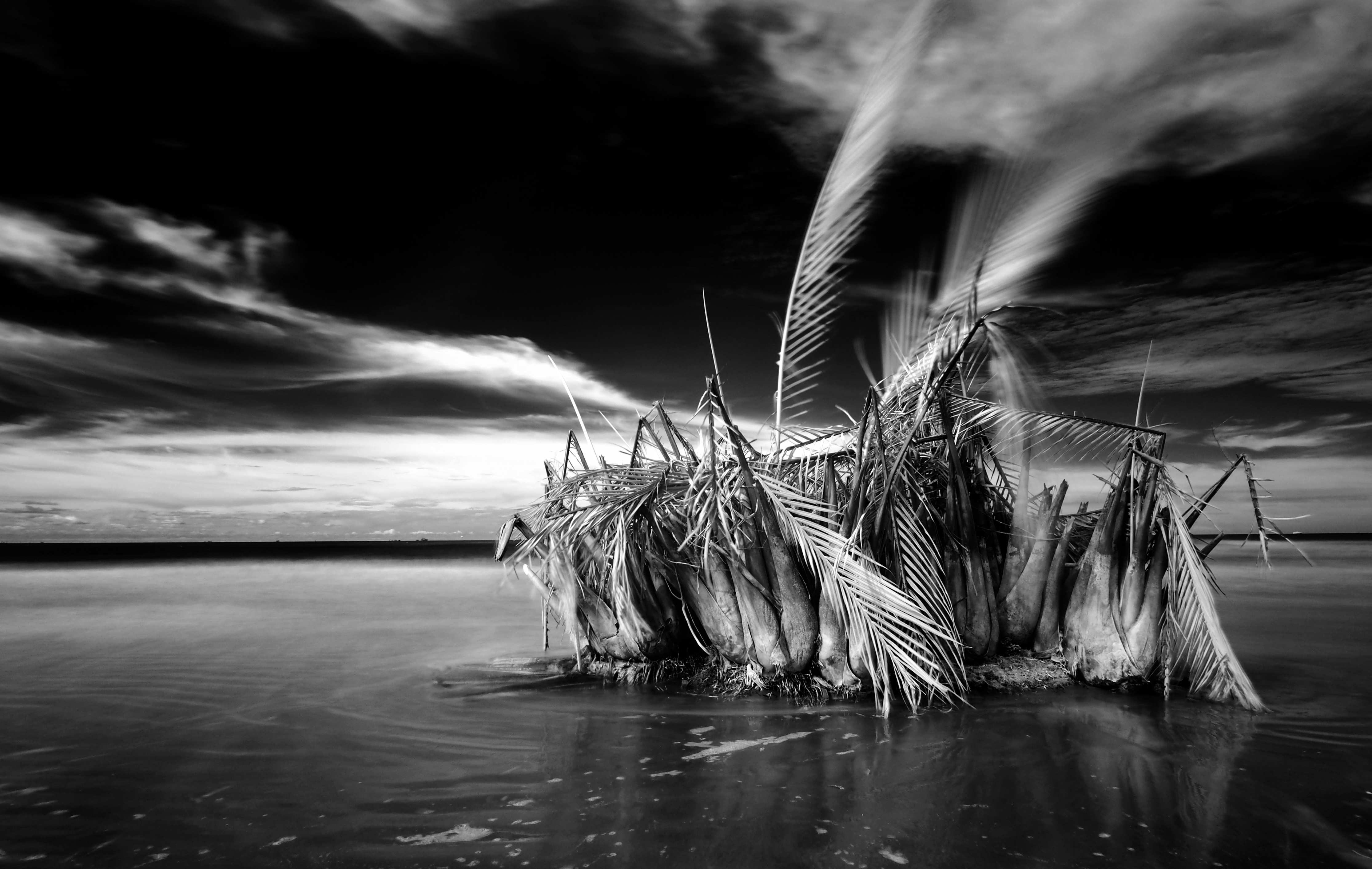
In the woods.
Call off for the day~
Topographic Map of Sungai Tujoh, Brunei
Find elevation by address:

Places near Sungai Tujoh, Brunei:
Kuala Belait
Mumong Sports Complex
Panaga
Seria
Jalan Senandin
Miri
Bukit Sawat
Kampung Penapar
Tutong District
Pekan Tutong
Tutong
Brunei
Penanjong
Kampong Keriam
Kampong Kupang
Jalan Ikas Bandung
Jalan Ikas Bandung
Sengkurong
Jerudong Park Playground
Selayun
Recent Searches:
- Elevation of Felindre, Swansea SA5 7LU, UK
- Elevation of Leyte Industrial Development Estate, Isabel, Leyte, Philippines
- Elevation of W Granada St, Tampa, FL, USA
- Elevation of Pykes Down, Ivybridge PL21 0BY, UK
- Elevation of Jalan Senandin, Lutong, Miri, Sarawak, Malaysia
- Elevation of Bilohirs'k
- Elevation of 30 Oak Lawn Dr, Barkhamsted, CT, USA
- Elevation of Luther Road, Luther Rd, Auburn, CA, USA
- Elevation of Unnamed Road, Respublika Severnaya Osetiya — Alaniya, Russia
- Elevation of Verkhny Fiagdon, North Ossetia–Alania Republic, Russia